Stausee Ottenstein
light
Navigate
Navigate
Get this tour on your mobile
Stausee Ottenstein
light
Hiking
5,13
km
Scan the QR code and start navigation in the bergfex app

Hiking & Tracking


Distance
5,13
km
Duration
01:00
h
Ascent
111
m
Sea level
468 -
521
m
Track download
Stausee Ottenstein
light
Hiking
5,13
km


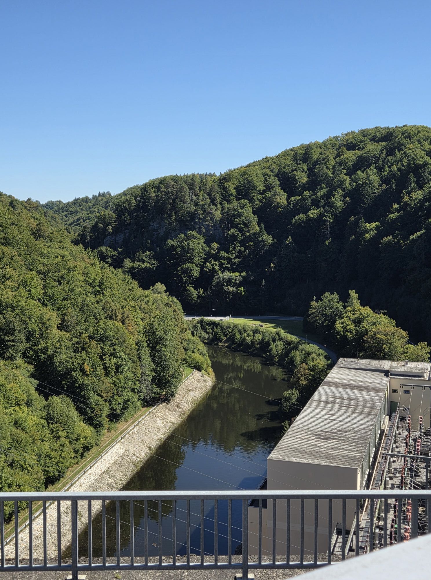
Ausgangspunkt ist der Parkplatz am Bootshaus des Staussees. Über die Staumauer kommen wir größtenteils über Forstwege zum Schloß Ottenstein. Die zweite Hälfte des Weges geht entlang der kleinen Fjorde...
Description of the
Ausgangspunkt ist der Parkplatz am Bootshaus des Staussees.
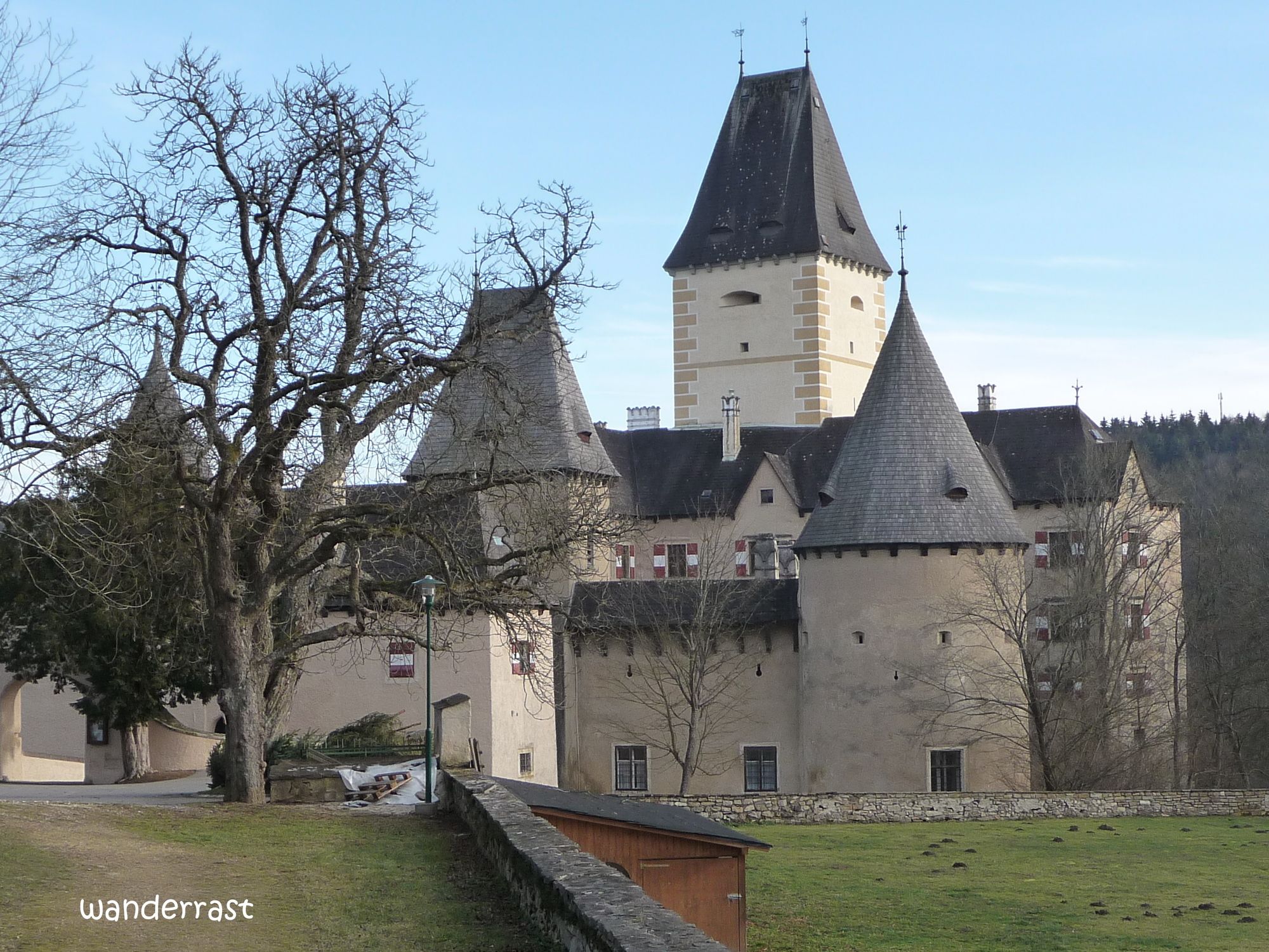
Über die Staumauer kommen wir größtenteils über Forstwege zum Schloß Ottenstein.
Die zweite Hälfte des Weges geht entlang der kleinen Fjorde des Stausees Ottenstein.
Dann über die Staumauer wieder retour zum Parkplatz.
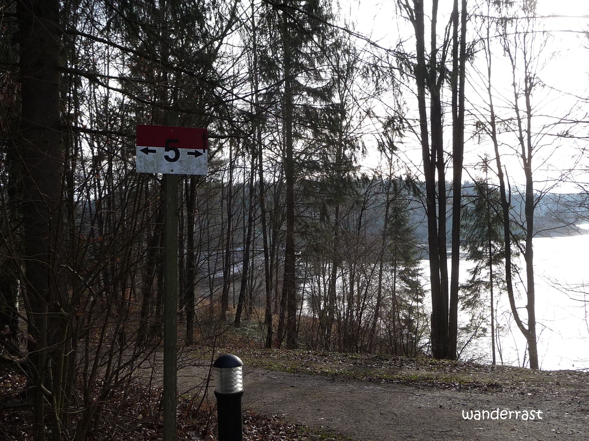
Route
Schloss Restaurant
(498 m)
Restaurant
1,5 km
Ottenstein
(518 m)
Settlement
1,6 km
Route
Stausee Ottenstein
light
Hiking
5,13
km
Schloss Restaurant
(498 m)
Restaurant
1,5 km
Ottenstein
(518 m)
Settlement
1,6 km

Last tracked
one week ago
Route information
Rest & refreshment stop
Bootshaus - Restaurant
Forest area
Yes
Arrival information
Arrival
Zwettl - Stausee Ottenstein
Parking
Parkplatz beim Bootshaus
Valuations
5
(6)
4
(4)
3
(1)
2
(1)
1
(0)
Popular tours in the neighbourhood
- 3,1
Thurnberg Reservoir Route
lightHiking9,02 km - 4,5
Auf Hundertwassers Spuren Nr. 55a
lightHiking12,1 km - 4,2
Stauseerunde
mediumHiking9,56 km - 4,2
TiWaLi Kamptal-Weißenbach-Runde
lightHiking10,6 km - 4,0
Kampseen Rundweg Thurnberg - Krumau am Kamp
lightHiking9,04 km - 4,2
Vabindaweg Friedersbach
heavyHiking15,2 km - 5,0
Schauensteinweg
mediumHiking13,1 km - 4,0
Nature, Energy, Power - hiking trail no. 80a
lightHiking13,2 km - 3,2
Knödel-Landradweg
mediumCycling42,6 km - 4,0
80 Natur - Energie - Kraft
Hiking10,8 km
Hiking & Tracking

Over 550.000 tour suggestions, detailed maps and an intuitive route planner make the app a must-have for all nature enthusiasts.

Don't miss out on offers and inspiration for your next holiday
Subscribe to the newsletter
Error
An error has occurred. Please try again.Thank you for your registration
Your e-mail address has been added to the mailing list.
Tours throughout Europe
Austria Switzerland Germany Italy Slovenia France Netherlands Belgium Poland Liechtenstein Czechia Slovakia Spain Croatia Bosnia and Herzegovina Luxembourg Andorra Portugal Iceland United Kingdom Ireland Greece Albania North Macedonia Malta Norway Montenegro Moldova Kosovo Hungary San Marino Romania Estonia Latvia Belarus Cyprus Lithuania Serbia Bulgaria Monaco Denmark Sweden Finland