Picasa
Picasa
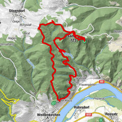
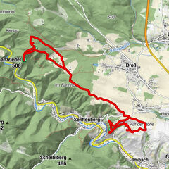
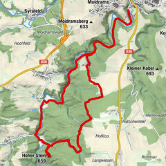
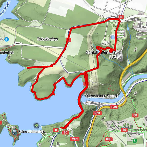
Tour data
5.13km
468
- 521m
111hm
113hm
01:00h
- Brief description
-
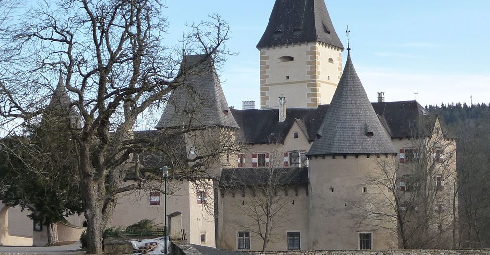
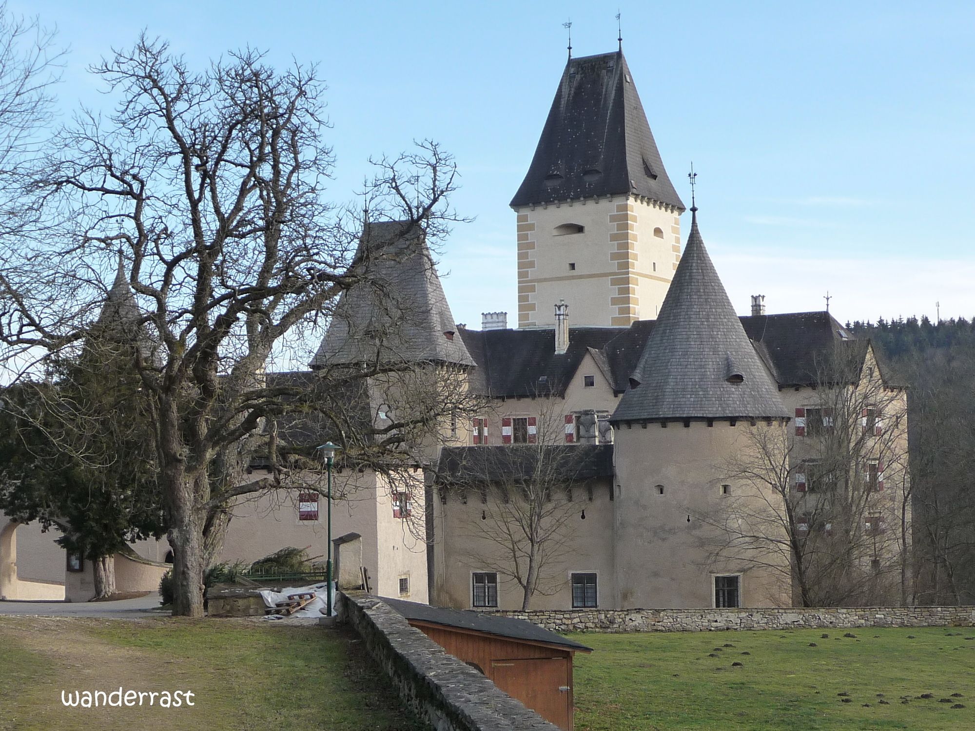
Stausee Ottenstein
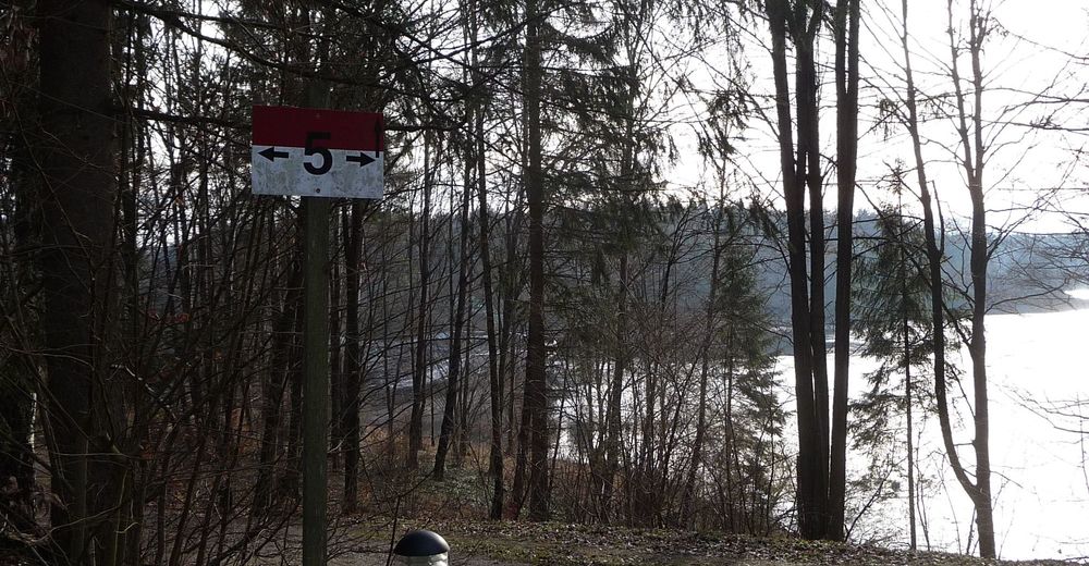
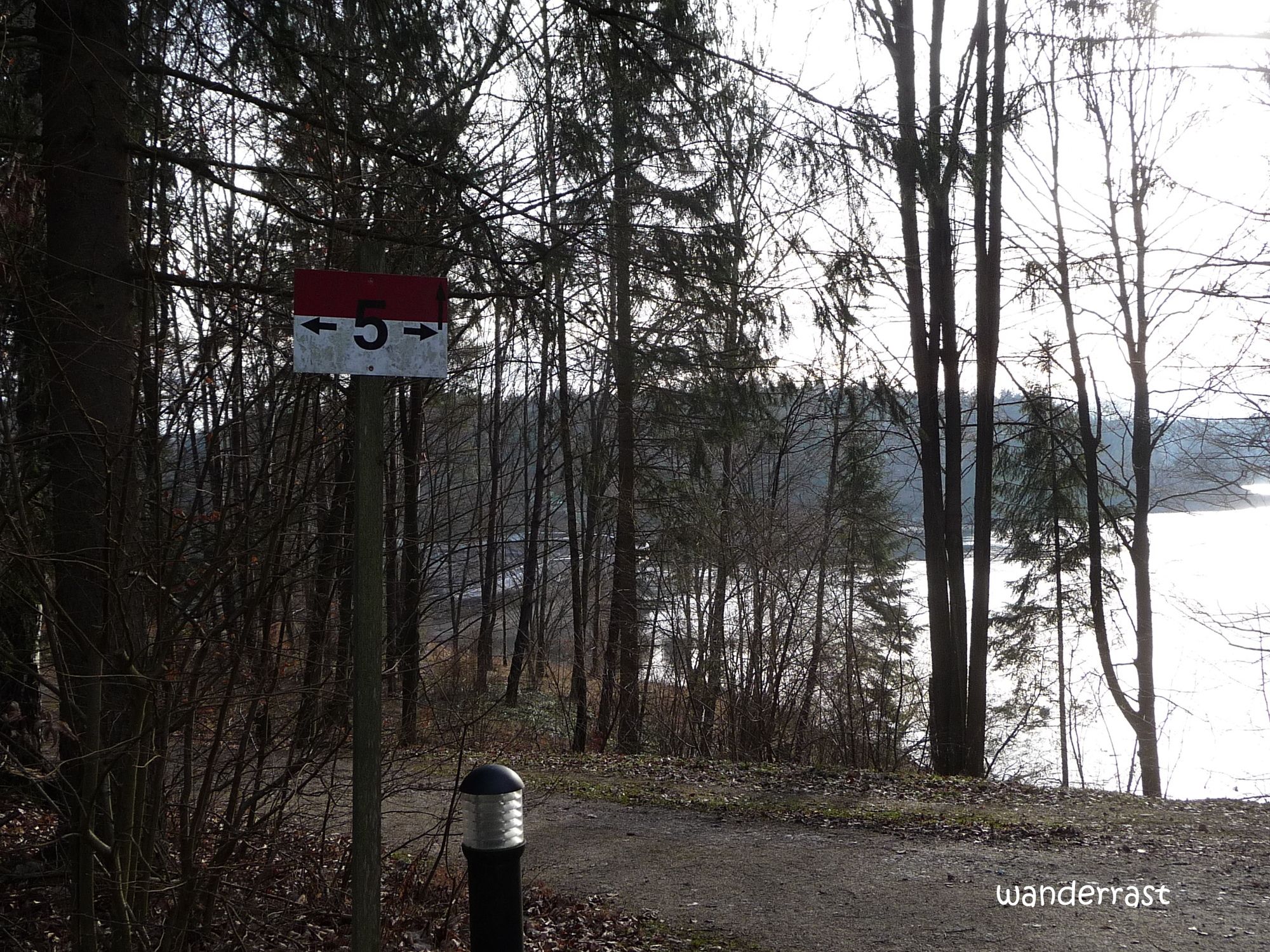
Weg Nr. 5 - Difficulty
-
easy
- Rating
-
- Route
-
Schloss Restaurant1.2 kmOttenstein1.3 km
- Best season
-
JanFebMarAprMayJunJulAugSepOctNovDec
- Highest point
- 521 m
- Rest/Retreat
-
Bootshaus - Restaurant
- Source
- wanderrast
GPS Downloads


Trail conditions
Asphalt
Gravel
Meadow
Forest
Rock
Exposed
Other tours in the regions
-
Waldviertel
1776
-
Waldviertel Mitte
1247
-
Rastenfeld
161