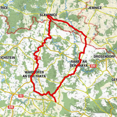

Tour data
42.58km
487
- 601m
282hm
292hm
02:30h

- Brief description
-
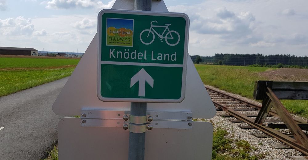
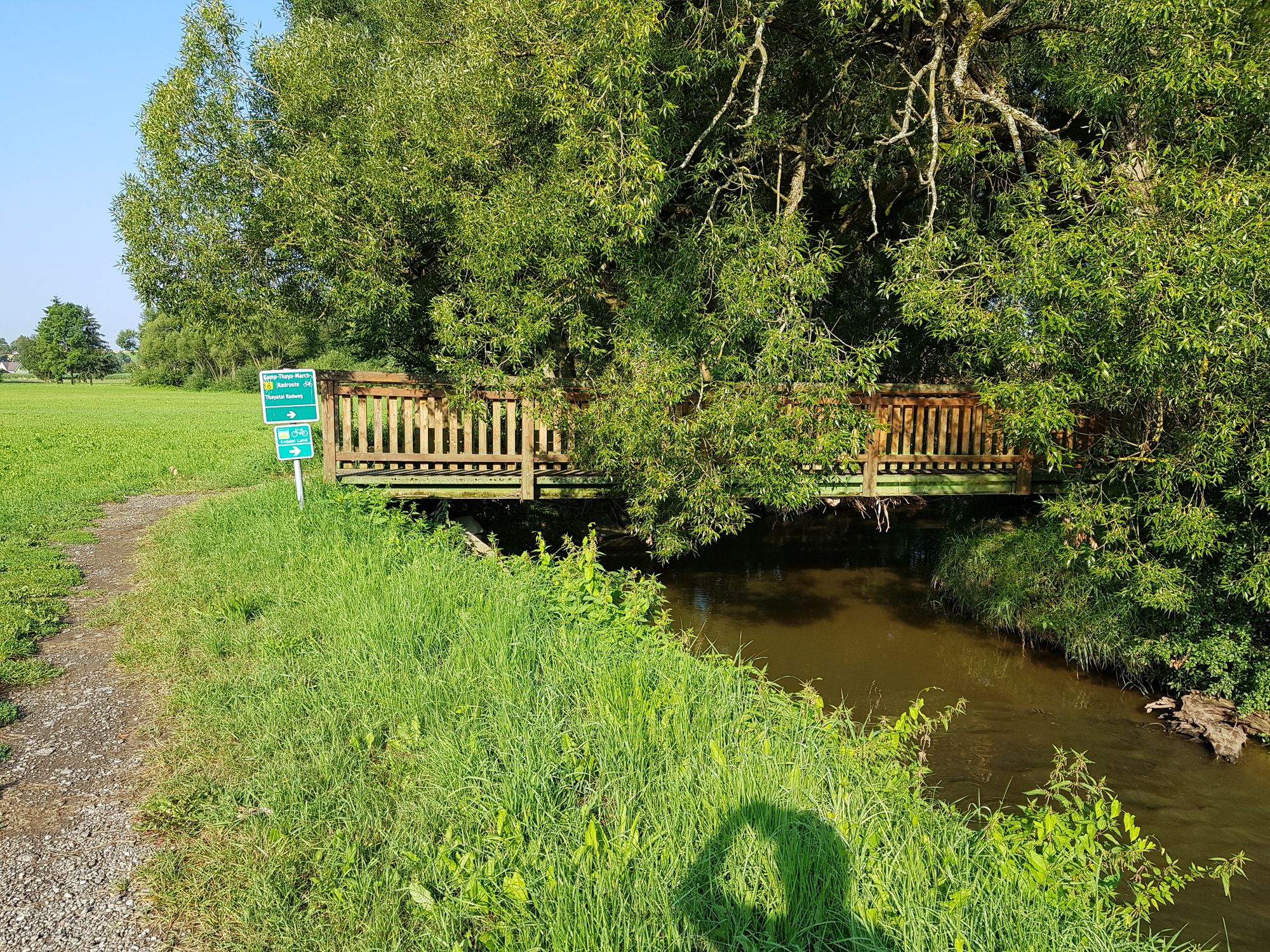
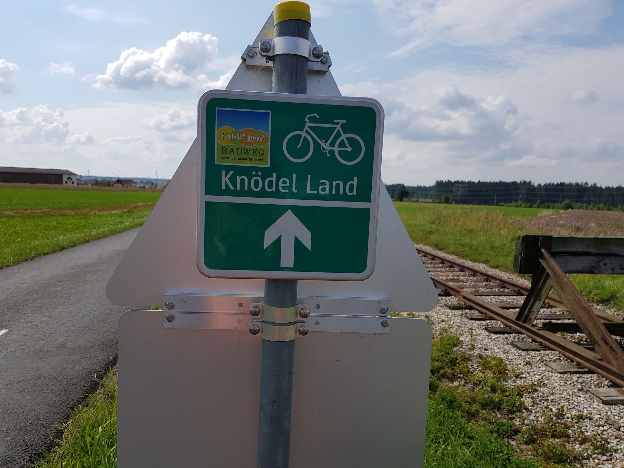
Dieser Radweg zweigt in Göpfritz von der Thayarund ab und führt über Schwarzenau wieder zurück nach Göpfritz zur Thayarunde
- Difficulty
-
medium
- Rating
-
- Starting point
-
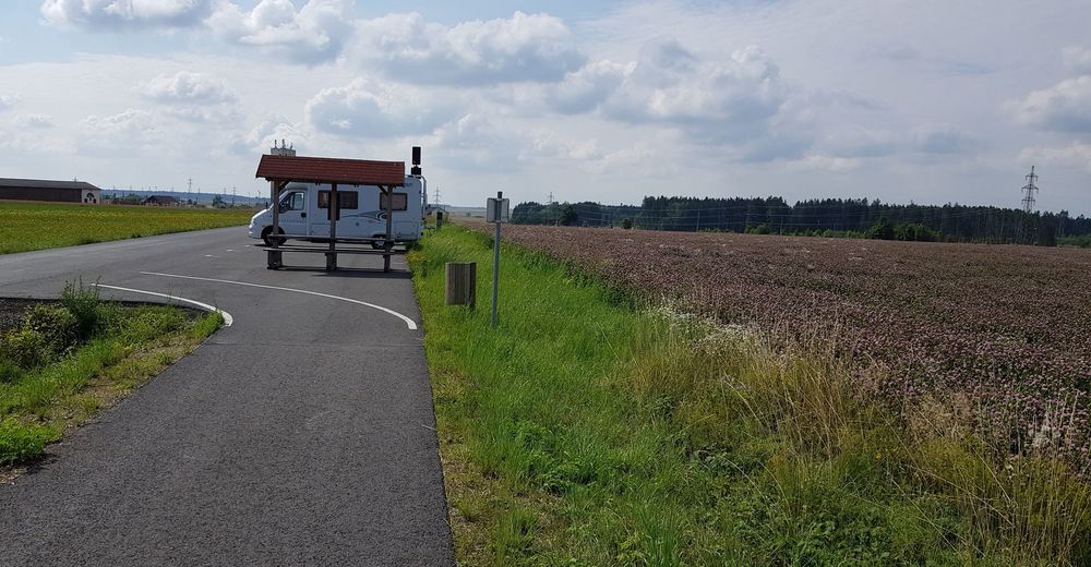
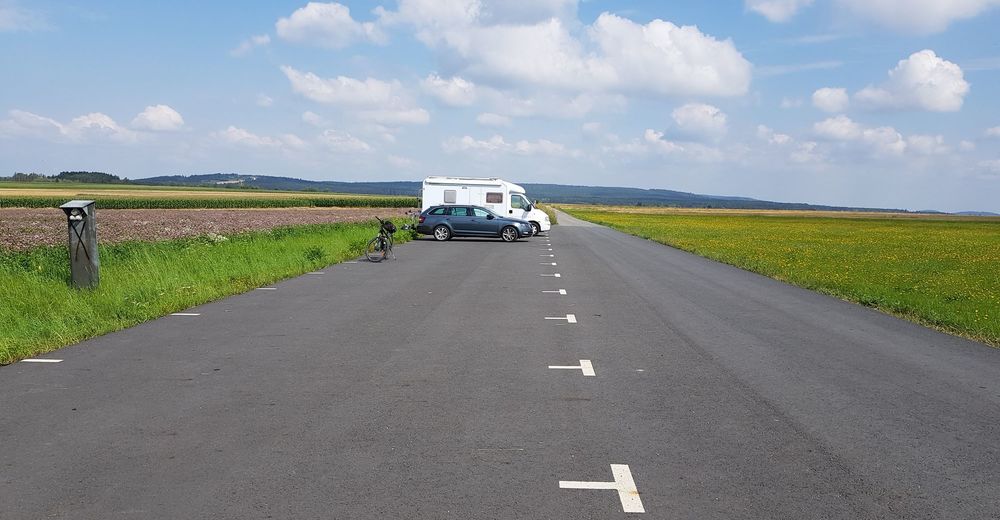
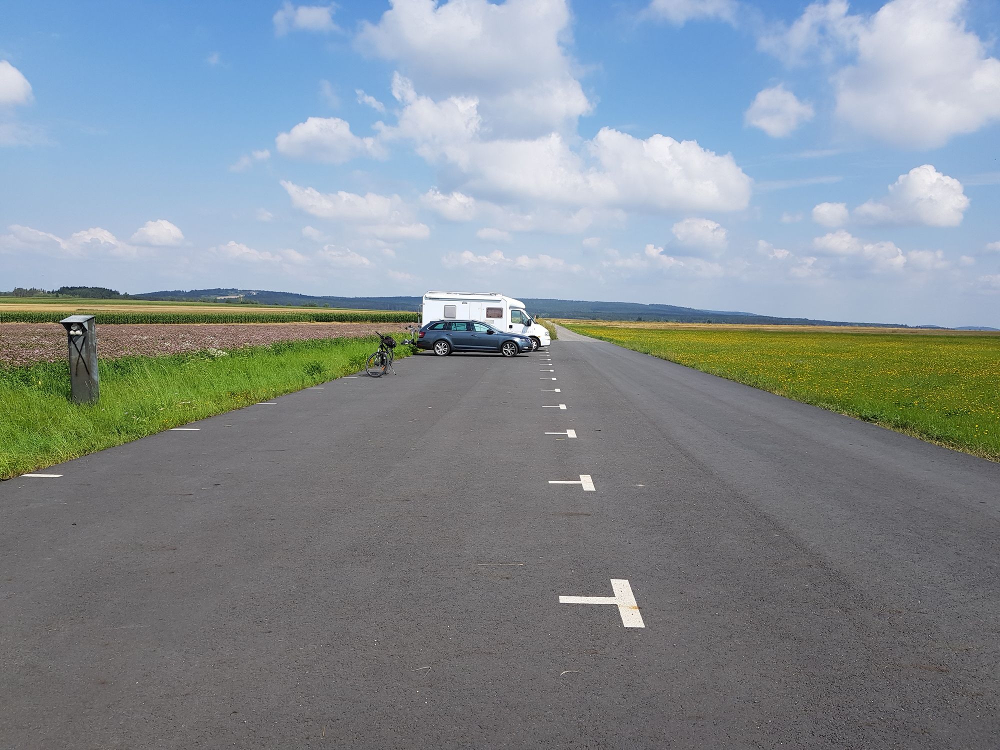
Parkplatz Thayra Radweg Göpfritz
- Route
-
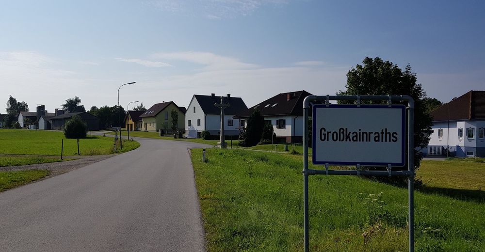
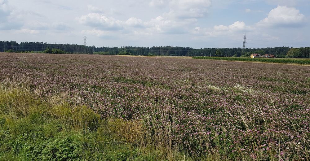
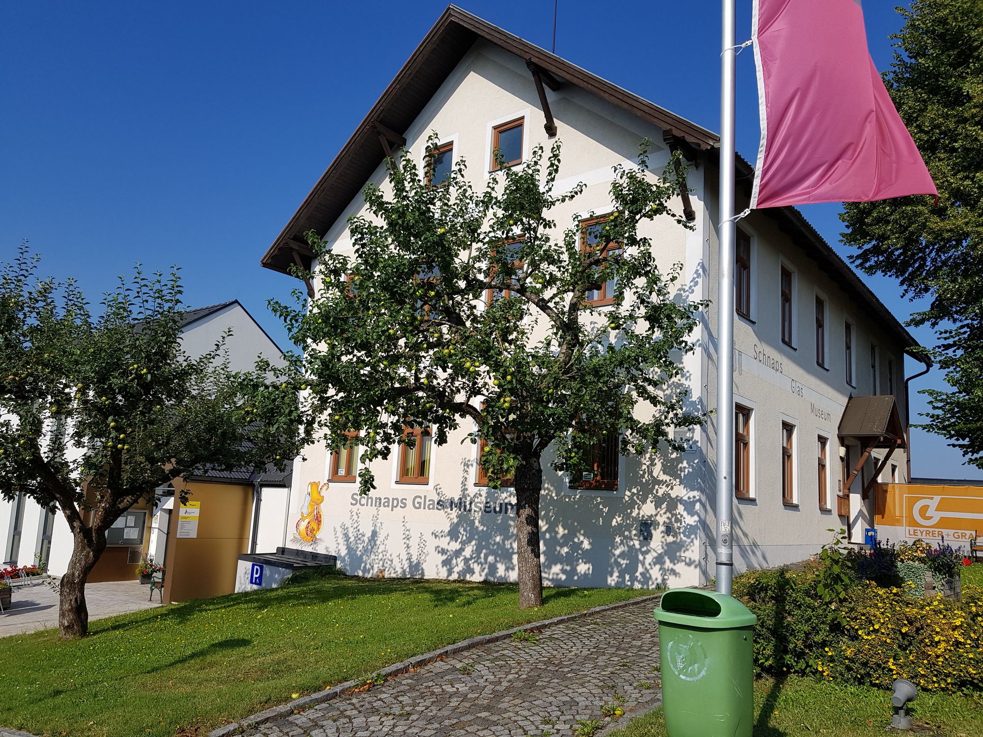
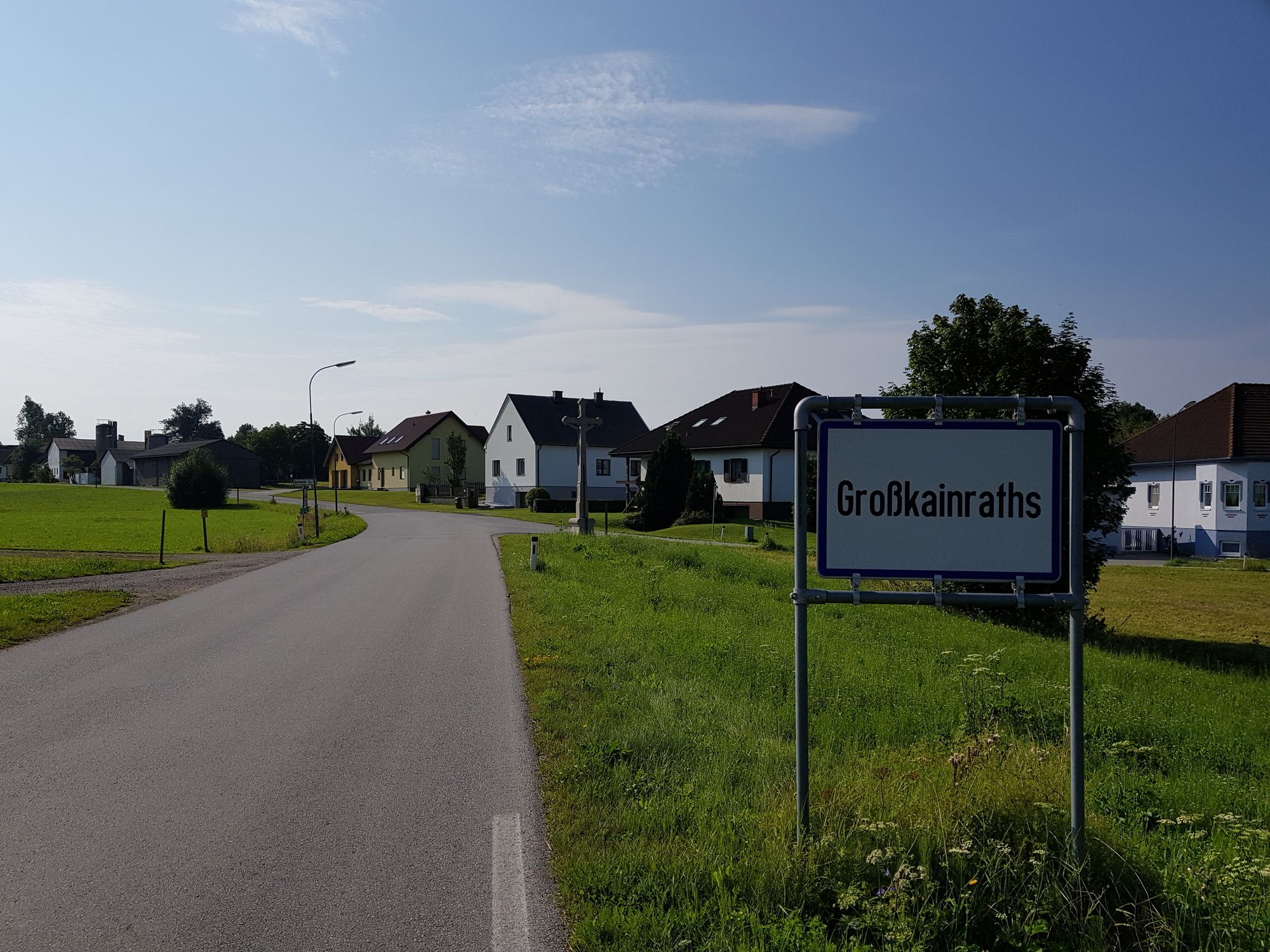
Weinpolz5.4 kmKapelle Weinpolz5.5 kmWaldberg7.7 kmPfarrkirche hl. Laurentius9.6 kmWindigsteig9.7 kmMarkl10.0 kmWillings10.1 kmLimpfings12.4 kmSteeg Wiesen13.0 kmSchwarzenau13.3 kmSchwarzenau14.1 kmModlisch16.2 kmEchsenbach18.9 kmGasthaus Klang19.0 kmGroßkainraths21.4 kmGasthaus Mayerhofer21.5 kmBernschlag23.5 kmGasthaus Elvira Neubauer23.7 kmOrtskapelle23.8 kmWiesmath25.2 kmZwinzen29.2 kmAllentsteig31.1 kmRestaurant zum Stadttor31.2 kmKapelle Neunzen35.5 kmGasthaus Herzog37.1 kmMerkenbrechts37.3 kmGöpfritz an der Wild39.1 km
- Highest point
- 601 m
- Endpoint
-
Parkplatz Thayra Radweg Göpfritz
- Ticket material
- Source
- Alfredo
GPS Downloads


Surfaces
Asphalt
Gravel
Forest
Mountain paths
Single trails
Trial
Traffic
Other tours in the regions
-
Waldviertel
88
-
Waldviertel Mitte
34
-
Allentsteig
9