© Waldviertel Tourismus - Destination Waldviertel

© Waldviertel Tourismus - Destination Waldviertel


- Brief description
-
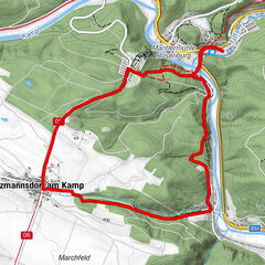
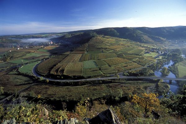
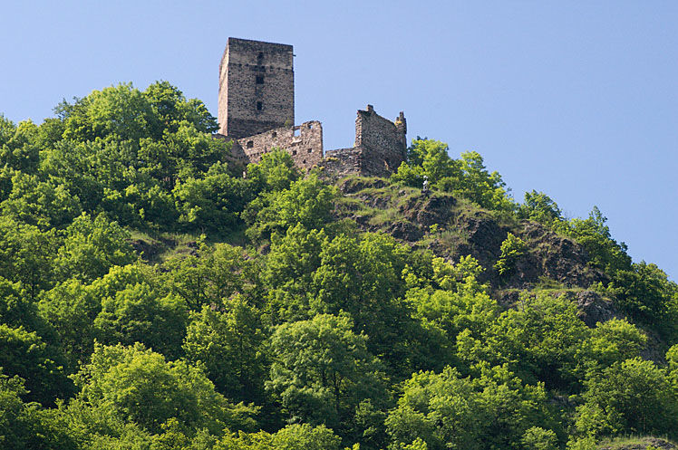
Der Schauensteinweg im Kamptal ist ein abwechslungsreicher Rundweg.
- Difficulty
-
medium
- Rating
-
- Route
-
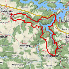
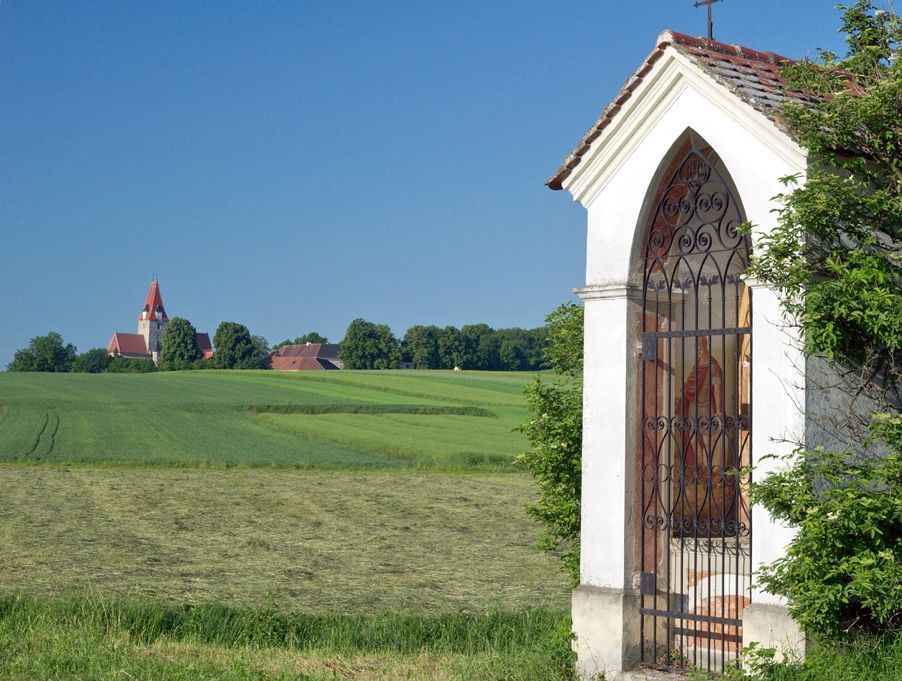
Gasthof Speneder0.5 kmAltpölla0.8 kmWegscheid am Kamp3.9 kmOrtskapelle Mariä Krönung3.9 kmPölzäcker10.3 kmGasthof Speneder12.4 kmAltpölla12.4 km
- Best season
-
JanFebMarAprMayJunJulAugSepOctNovDec
- Highest point
- 522 m
- Endpoint
-
Altpölla
- Height profile
-

- Author
-
The tour Schauensteinweg is used by outdooractive.com provided.
GPS Downloads


General info
Refreshment stop
Cultural/Historical
Flora
Fauna
A lot of view
Other tours in the regions