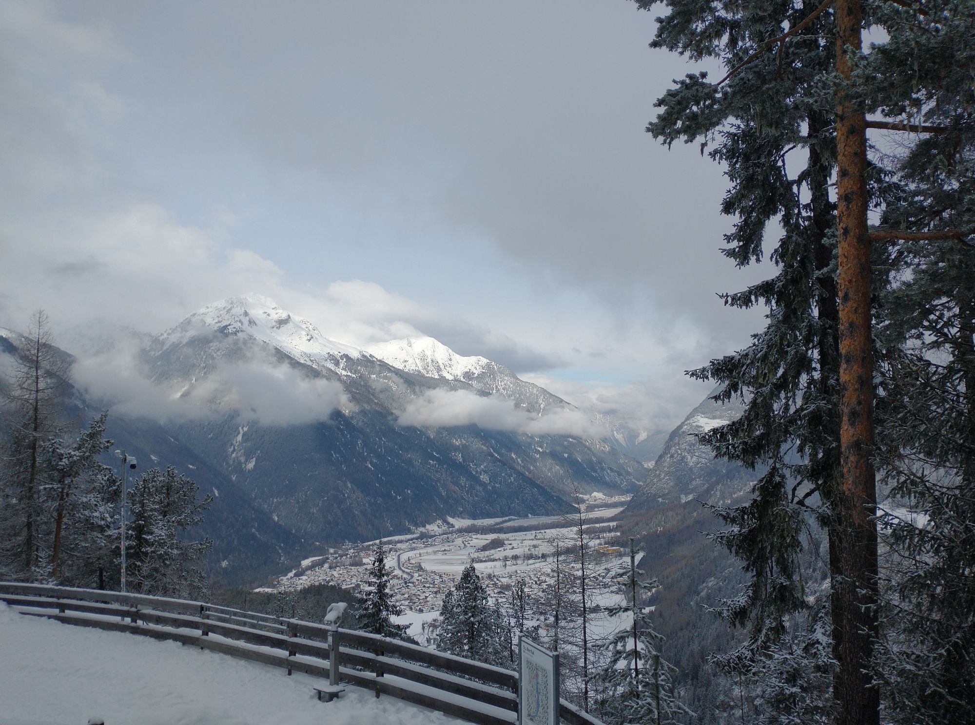
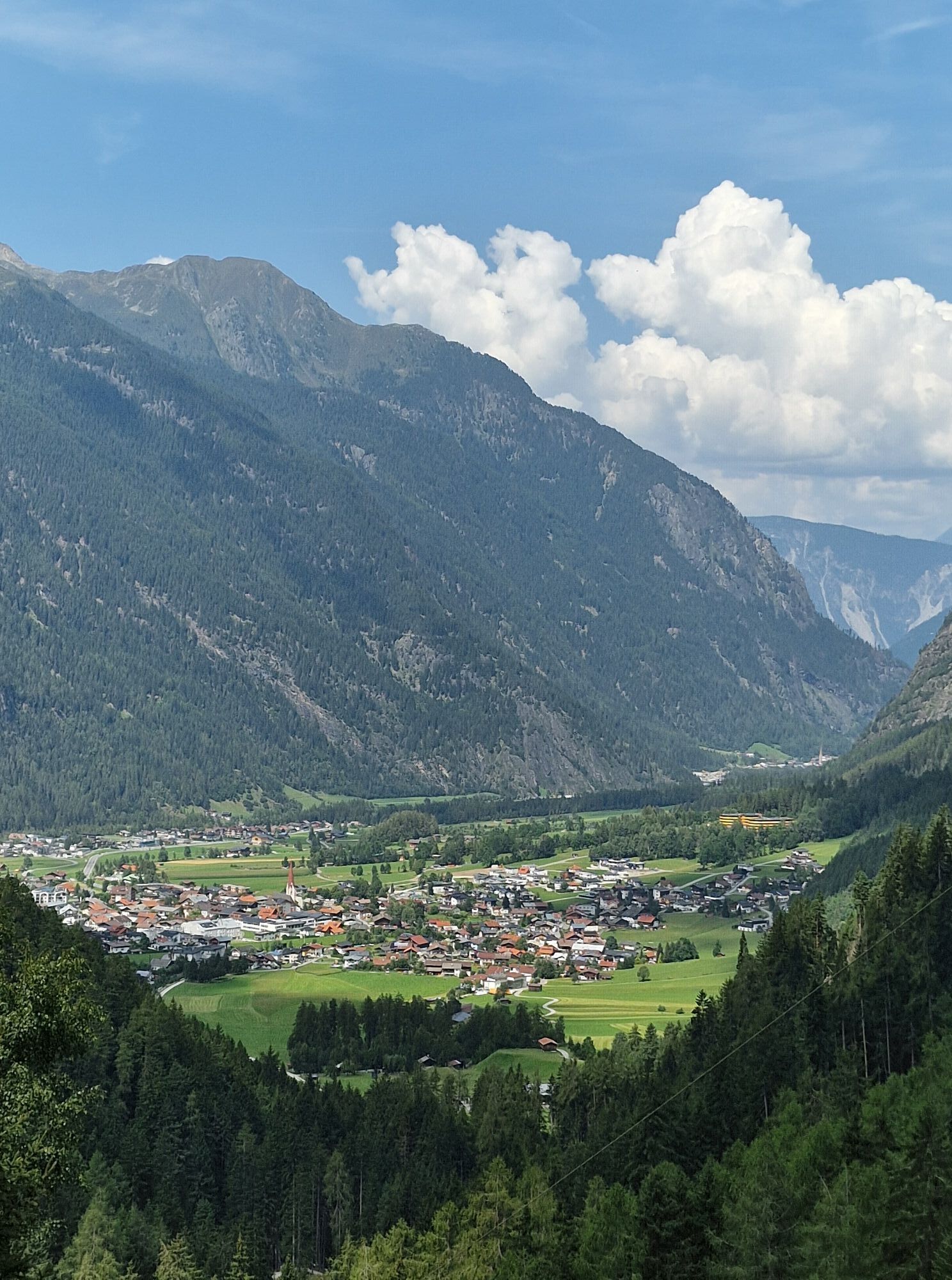
Umhausen, Tirol
medium
Navigate
Navigate
Get this tour on your mobile
Umhausen, Tirol
medium
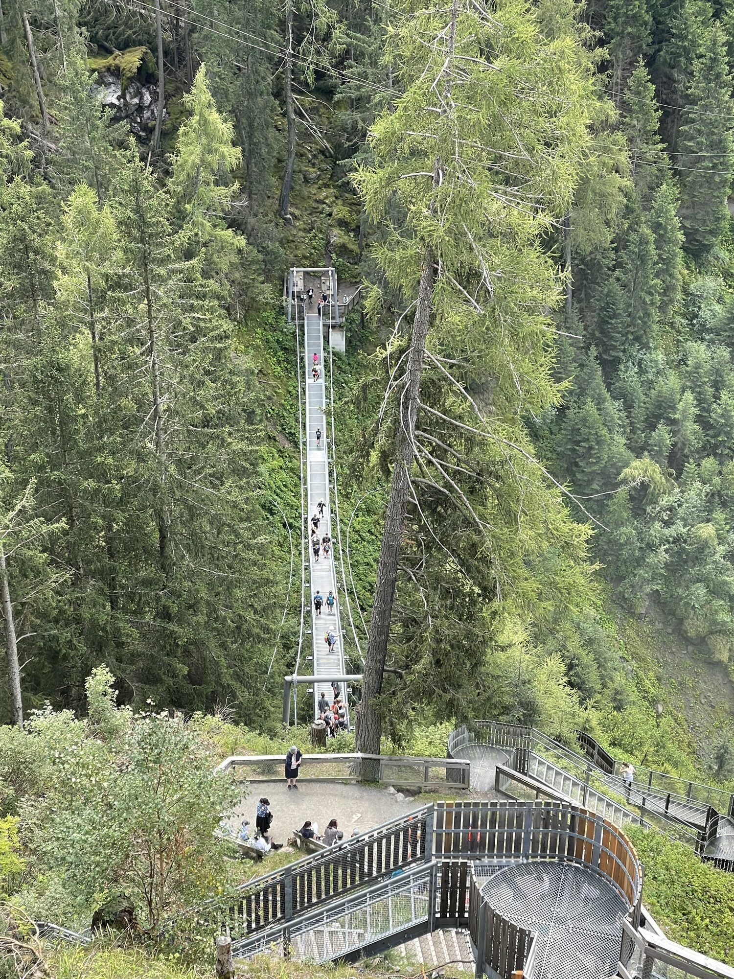
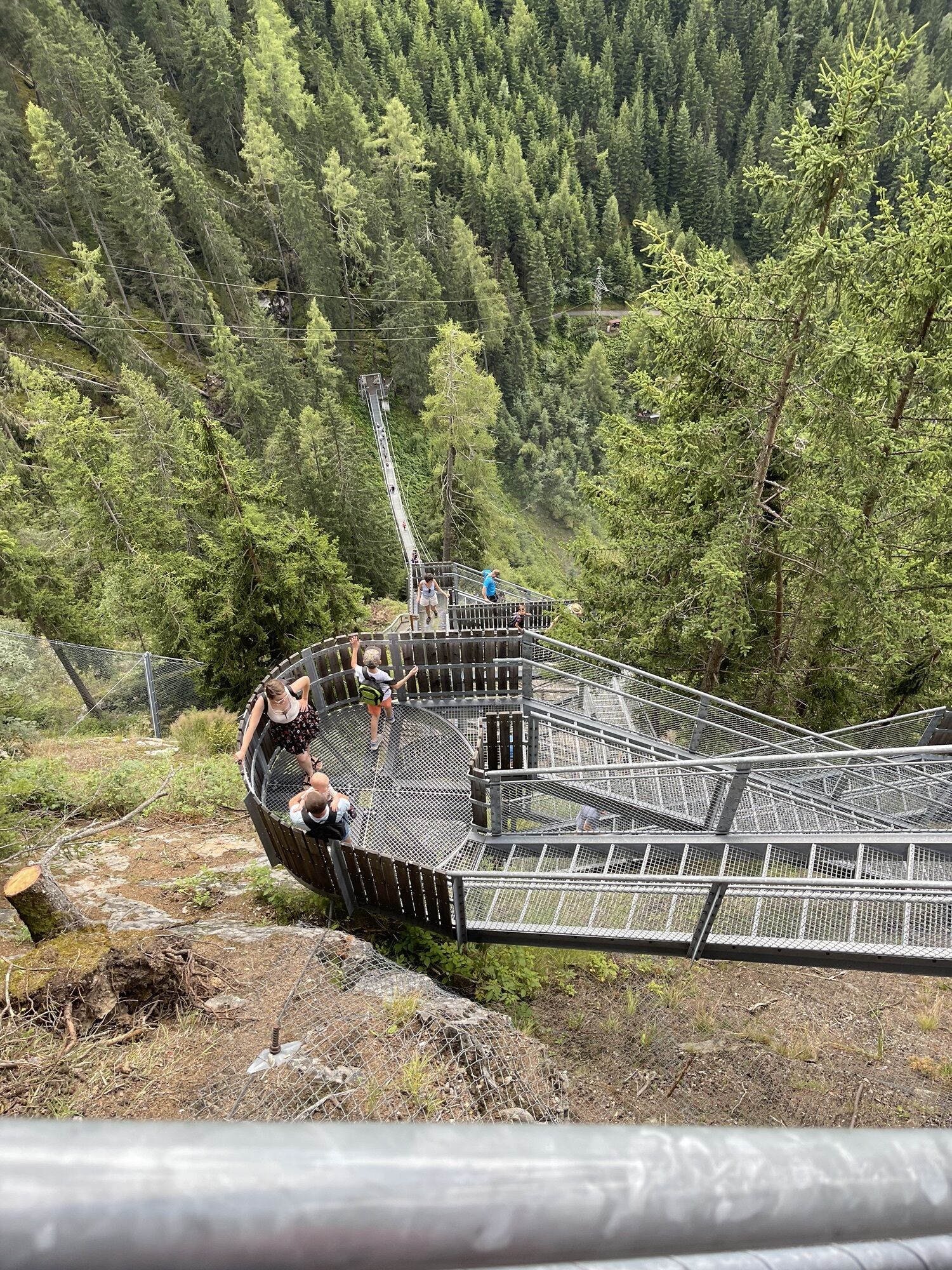
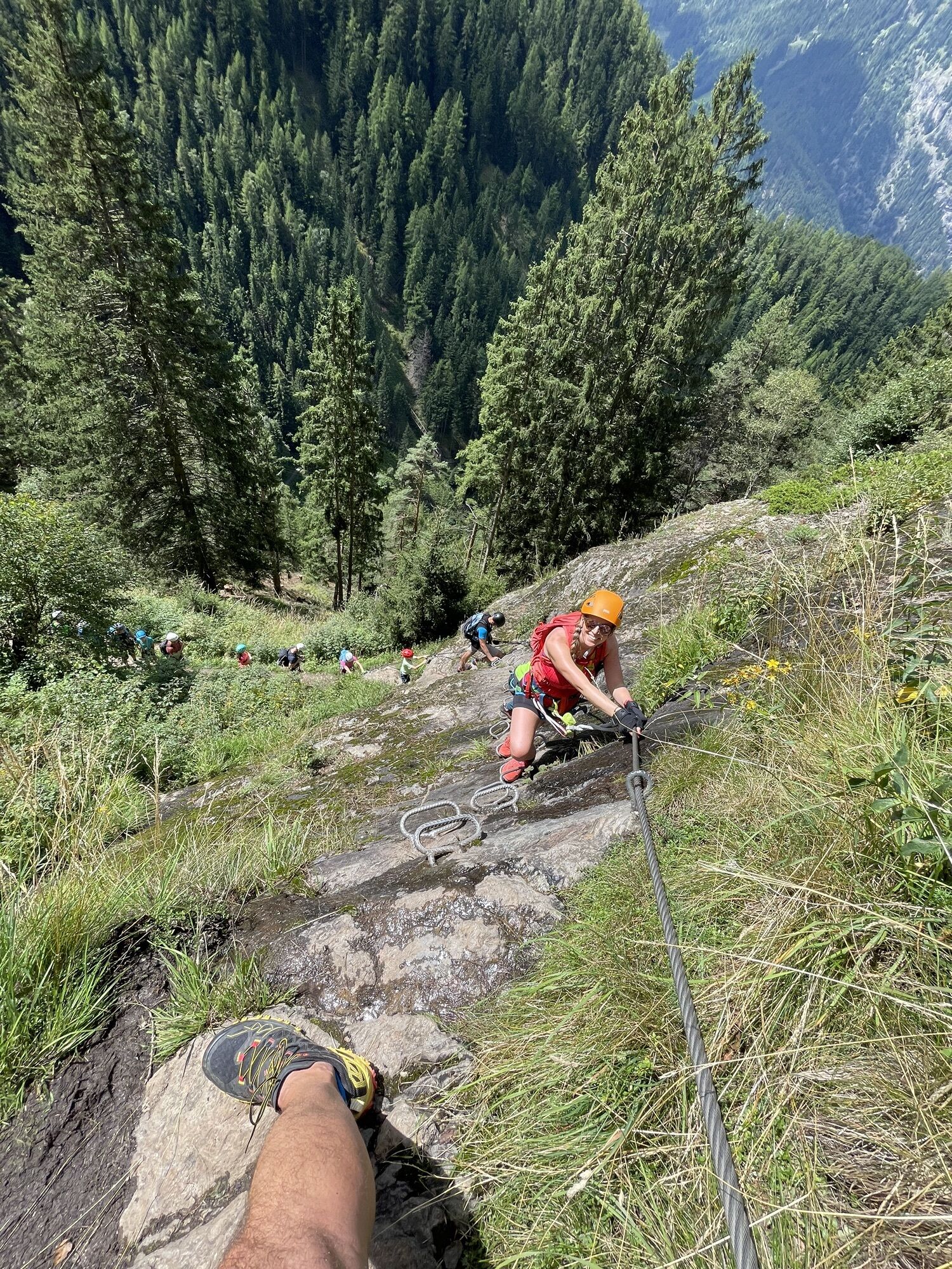
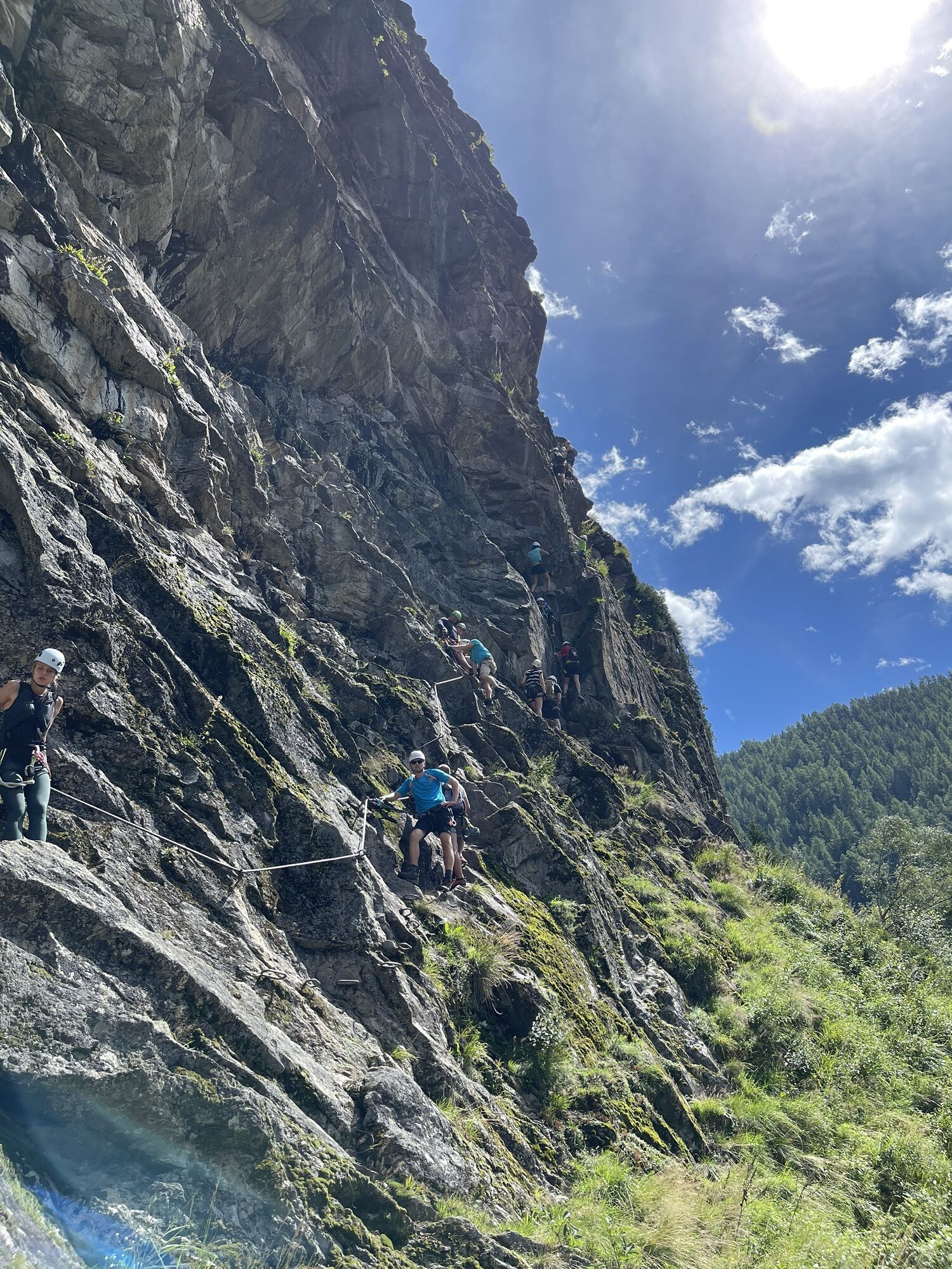
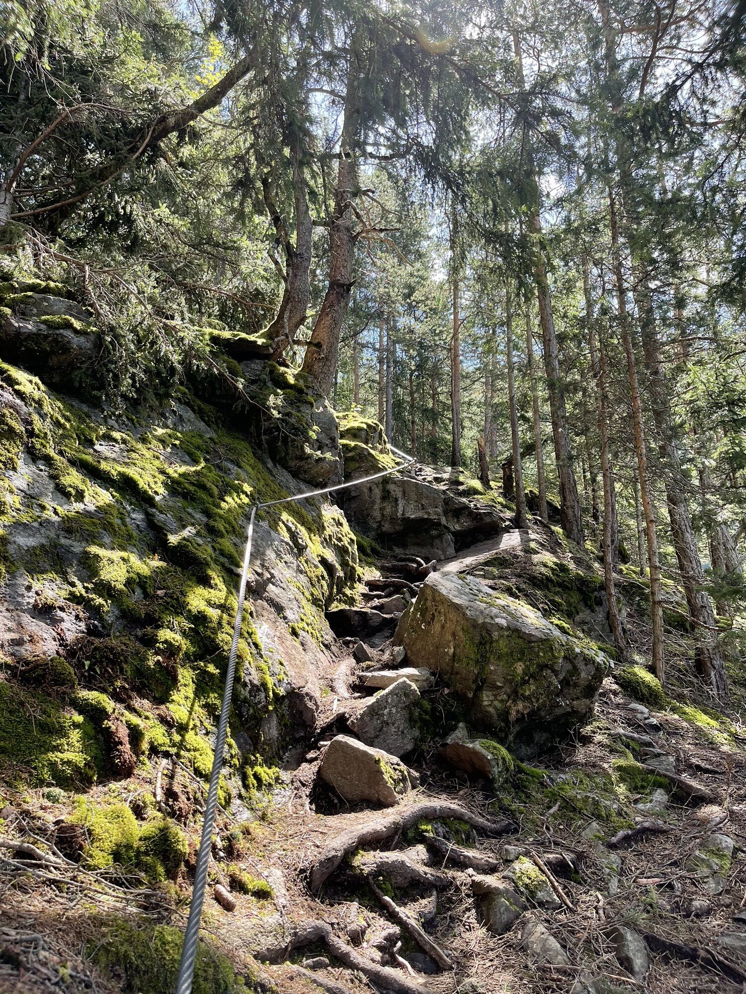
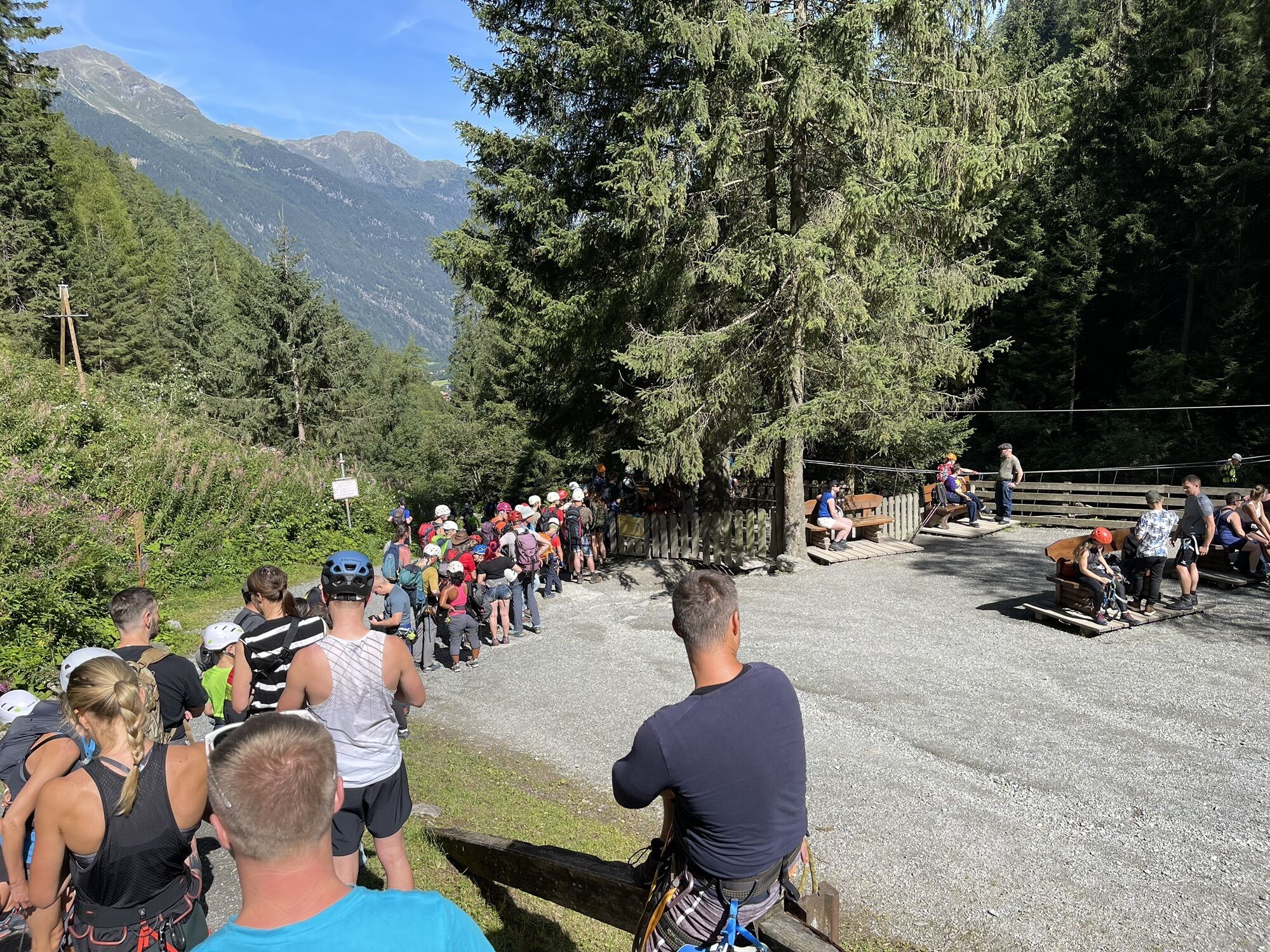
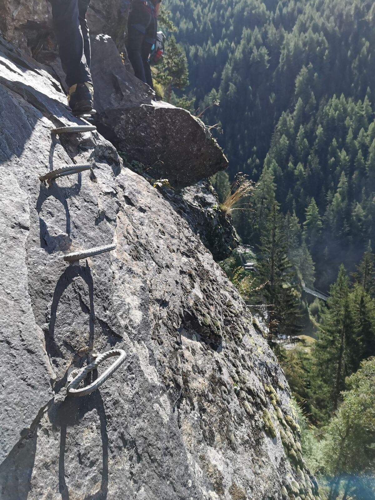
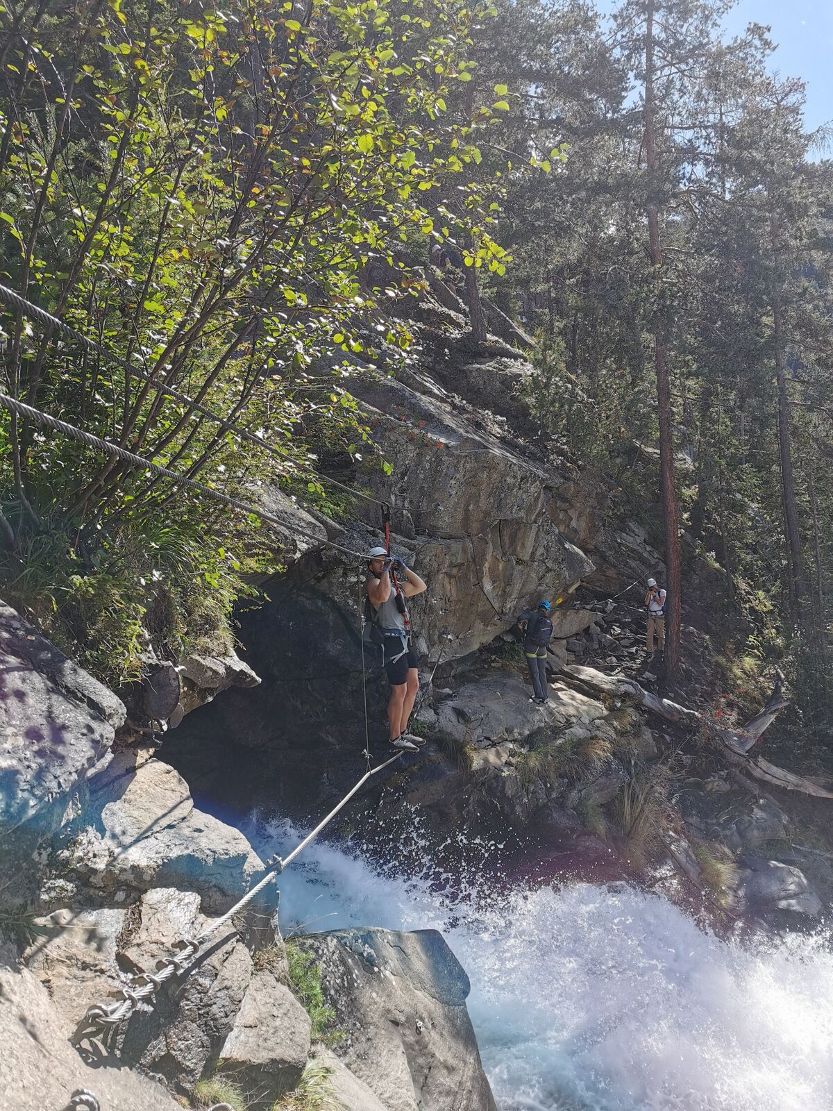
Via ferrata
4,52
km
Scan the QR code and start navigation in the bergfex app

Hiking & Tracking


Distance
4,52
km
Duration
01:27
h
Ascent
317
m
Sea level
1.130 -
1.452
m
Track download
Umhausen, Tirol
medium
Via ferrata
4,52
km


Photos of our users
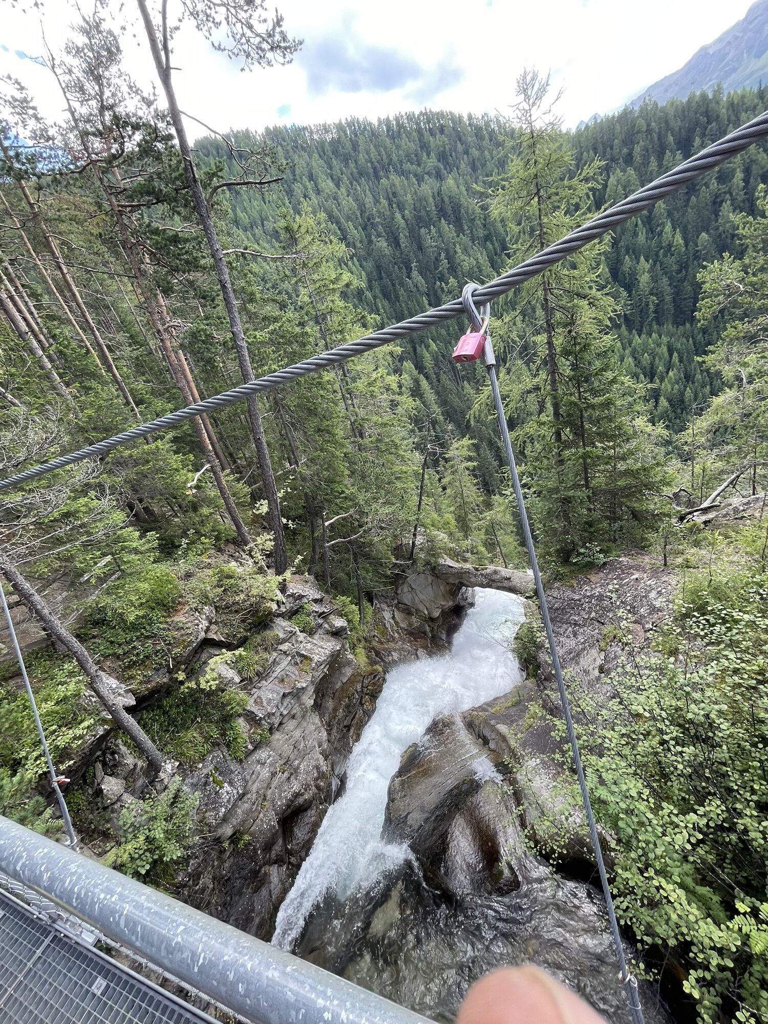
 © Thorsten Tom FreundCreated on 13.08.2023
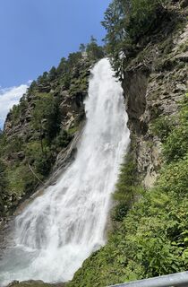
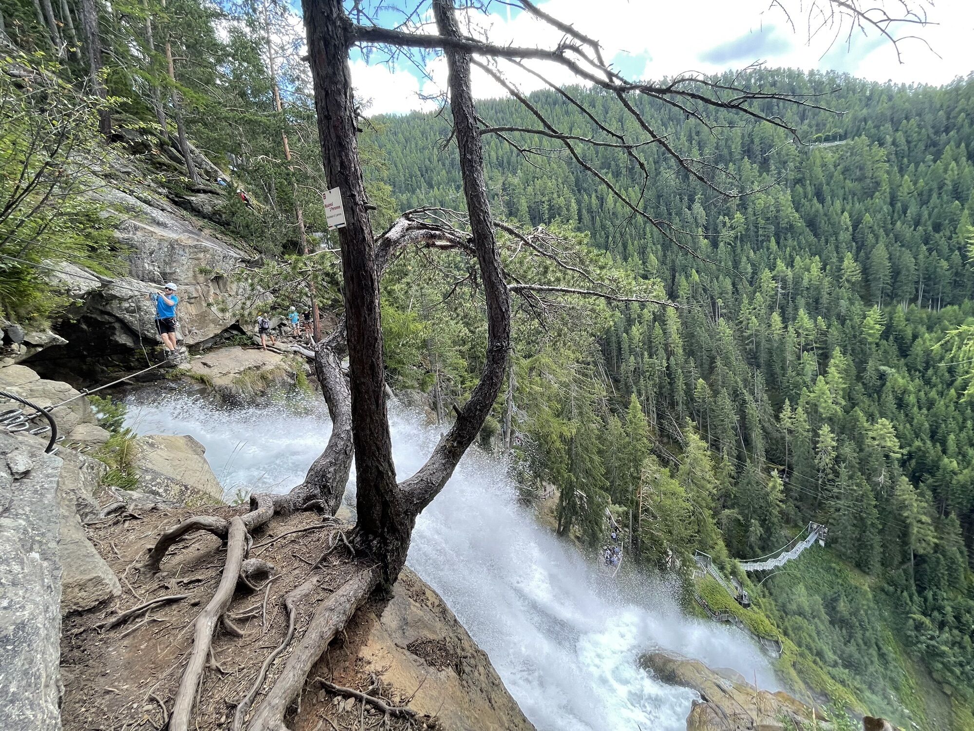
 © Harry VerkaikCreated on 16.07.2023
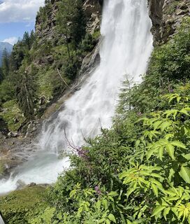 © Harry VerkaikCreated on 16.07.2023
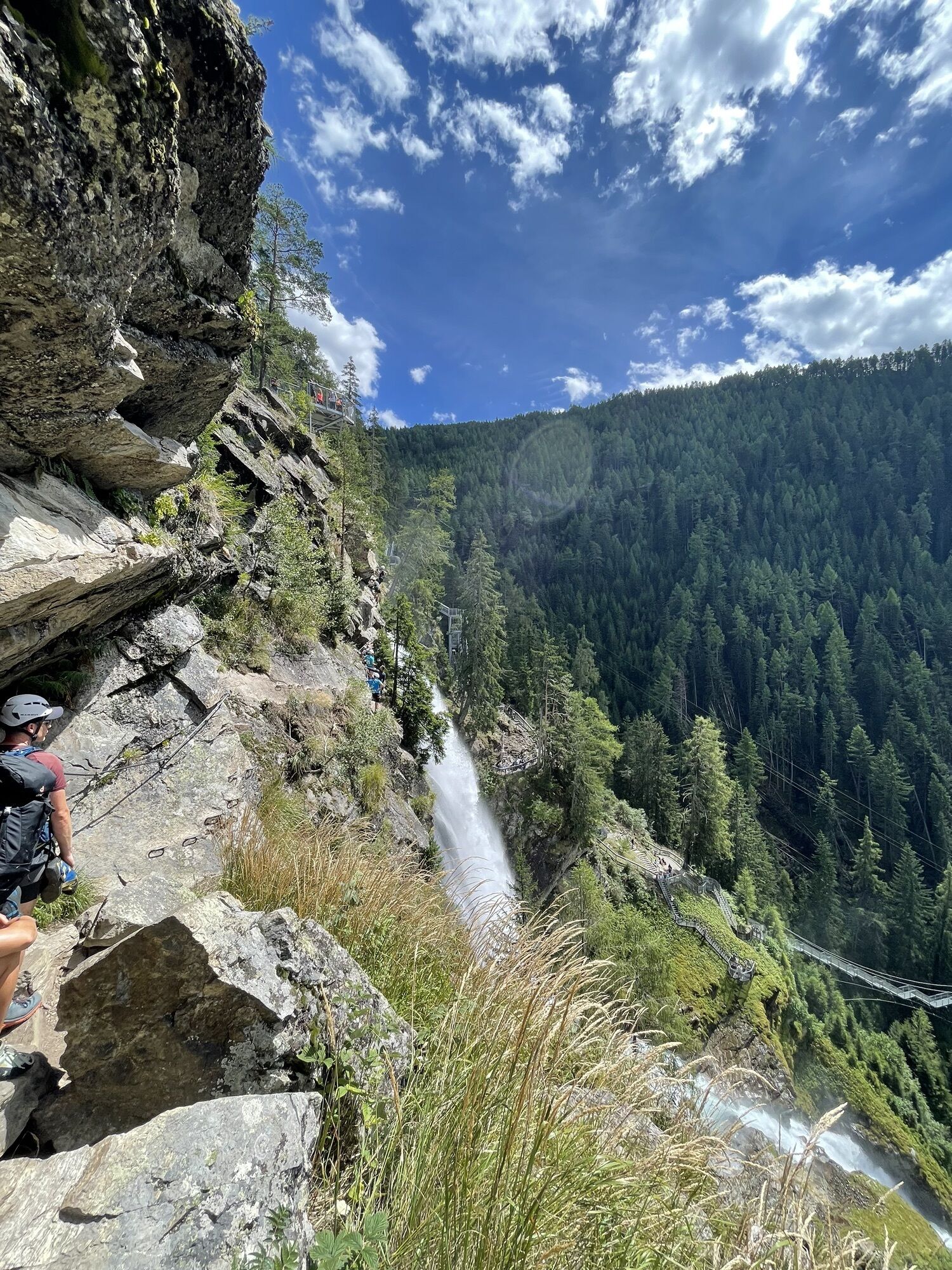
 © JanleeCreated on 14.02.2025
 © JanleeCreated on 14.02.2025
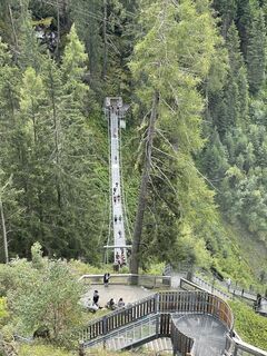 © Thorsten Tom FreundCreated on 13.08.2023
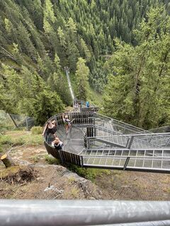 © Thorsten Tom FreundCreated on 13.08.2023
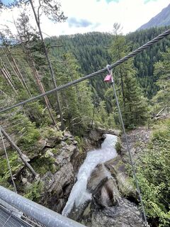 © Thorsten Tom FreundCreated on 13.08.2023
 © Thorsten Tom FreundCreated on 13.08.2023
 © Thorsten Tom FreundCreated on 13.08.2023
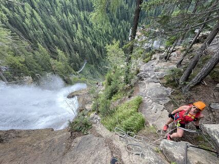 © Thorsten Tom FreundCreated on 13.08.2023
 © Thorsten Tom FreundCreated on 13.08.2023
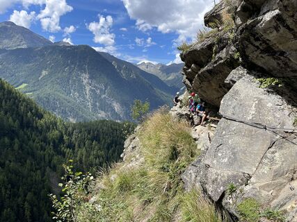 © Thorsten Tom FreundCreated on 13.08.2023
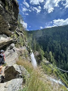 © Thorsten Tom FreundCreated on 13.08.2023
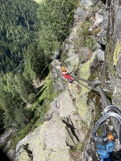 © Thorsten Tom FreundCreated on 13.08.2023
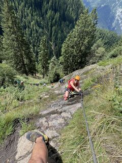 © Thorsten Tom FreundCreated on 13.08.2023
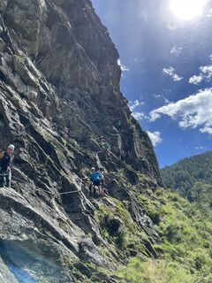 © Thorsten Tom FreundCreated on 13.08.2023
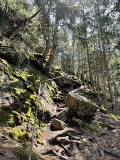 © Thorsten Tom FreundCreated on 13.08.2023
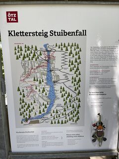 © Thorsten Tom FreundCreated on 13.08.2023
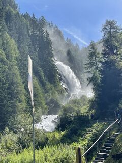 © Thorsten Tom FreundCreated on 13.08.2023
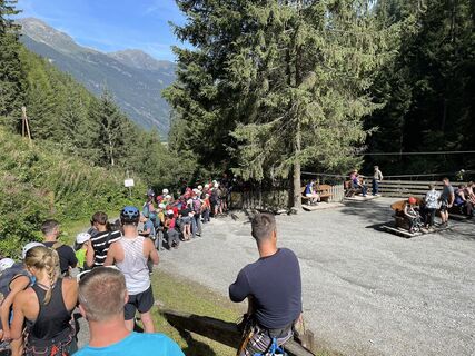 © Thorsten Tom FreundCreated on 13.08.2023
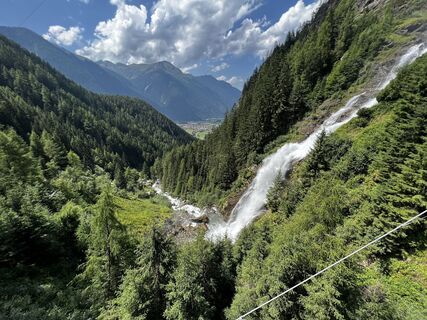 © Harry VerkaikCreated on 16.07.2023
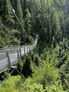 © Harry VerkaikCreated on 16.07.2023
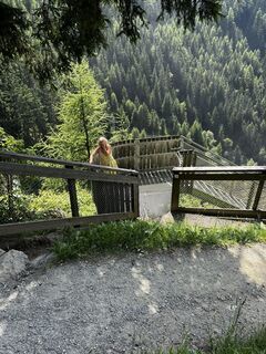 © Harry VerkaikCreated on 16.07.2023
 © Harry VerkaikCreated on 16.07.2023
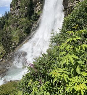 © Harry VerkaikCreated on 16.07.2023
 © Harry VerkaikCreated on 16.07.2023
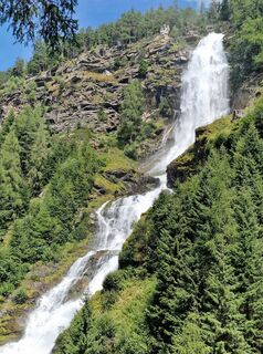
 © okidoki1980Created on 15.08.2025
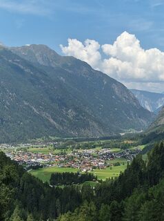 © okidoki1980Created on 15.08.2025

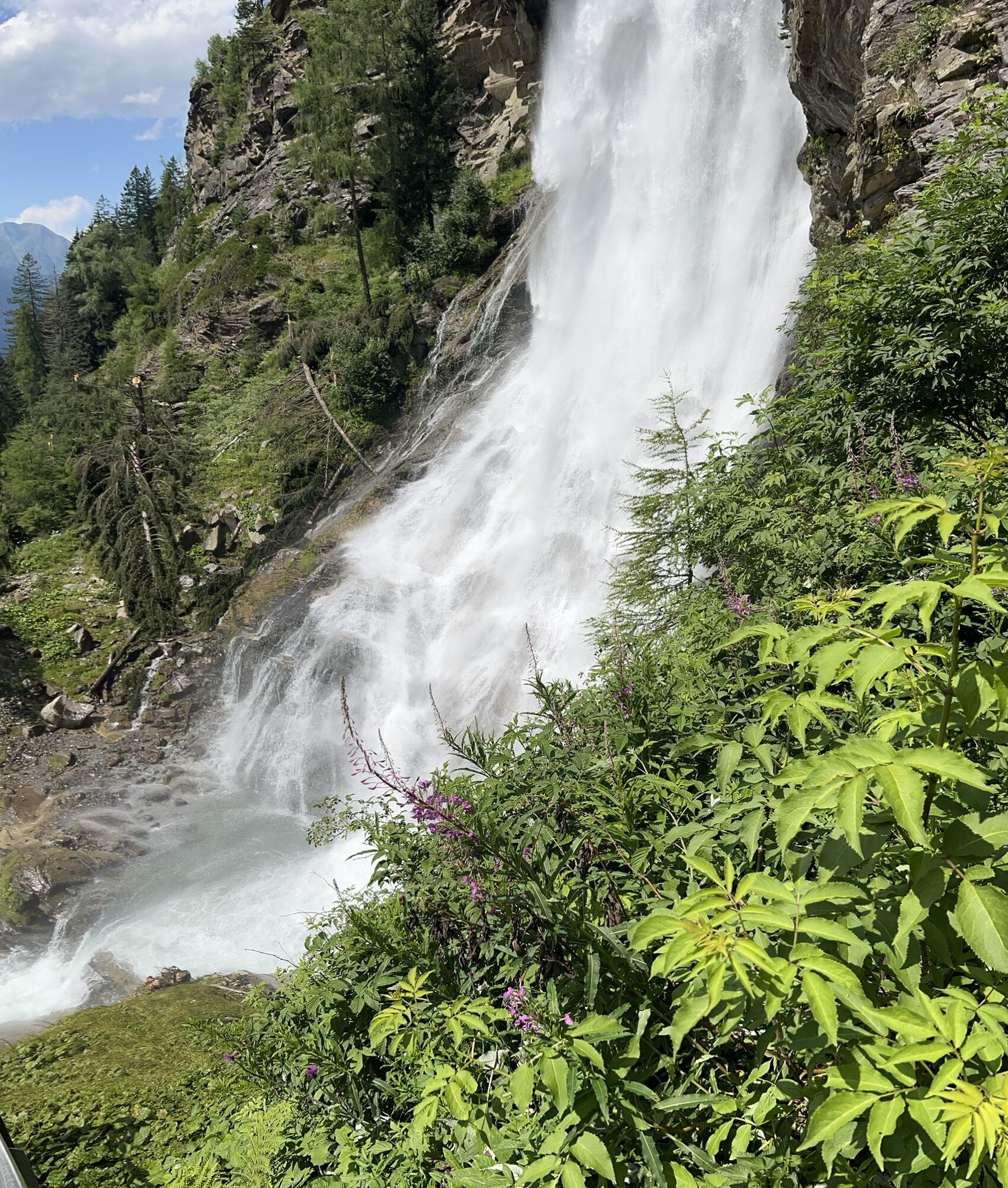


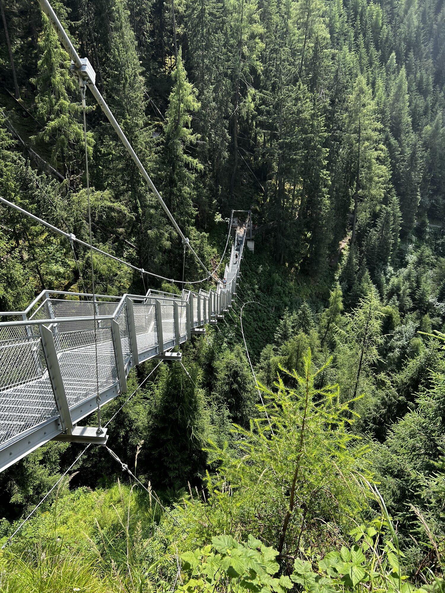
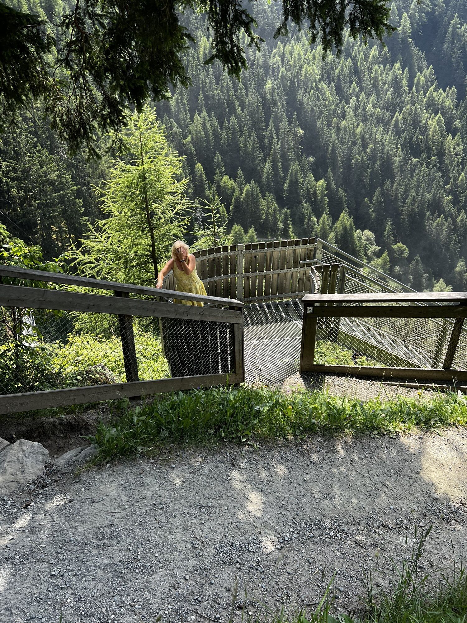
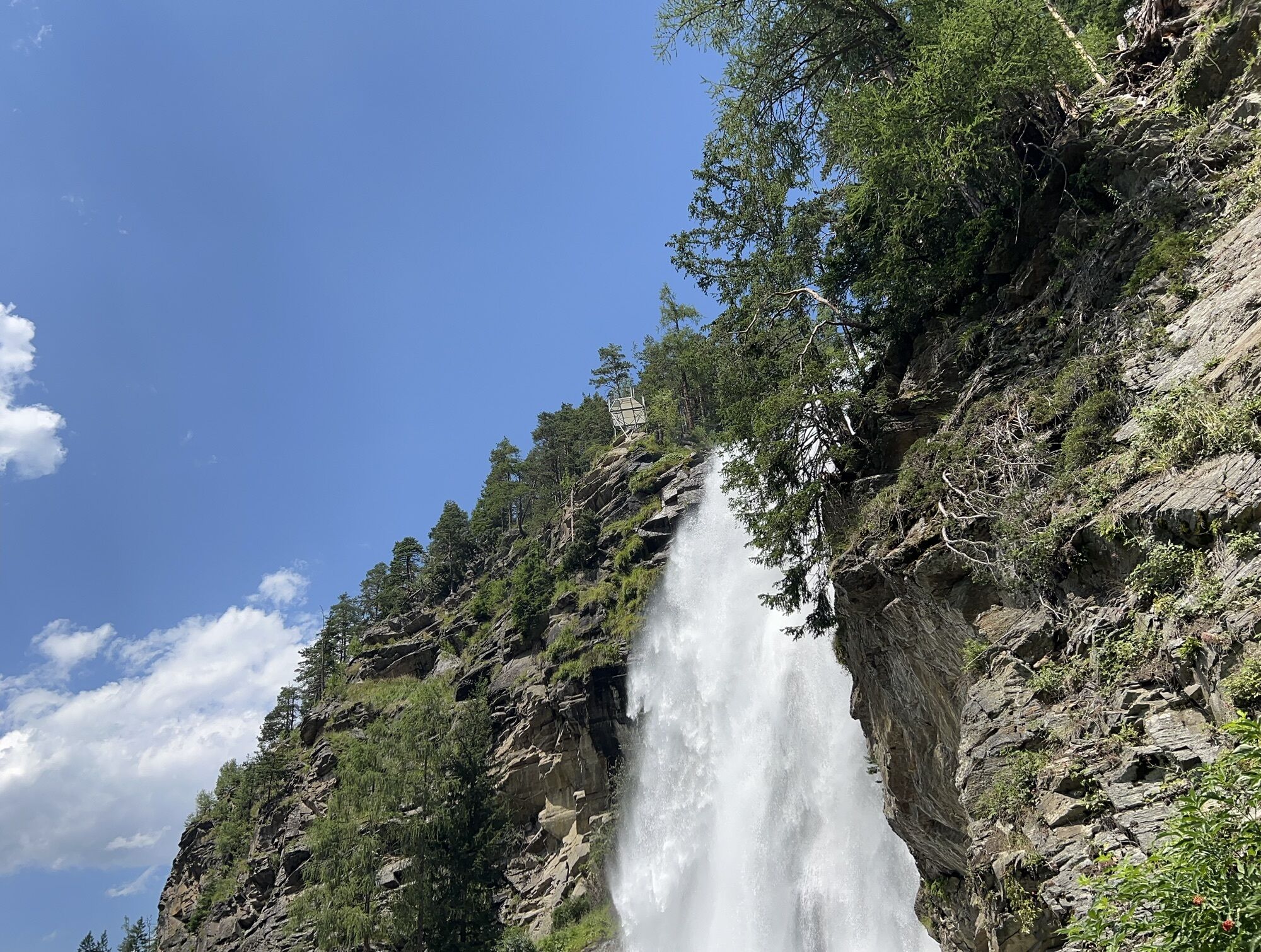
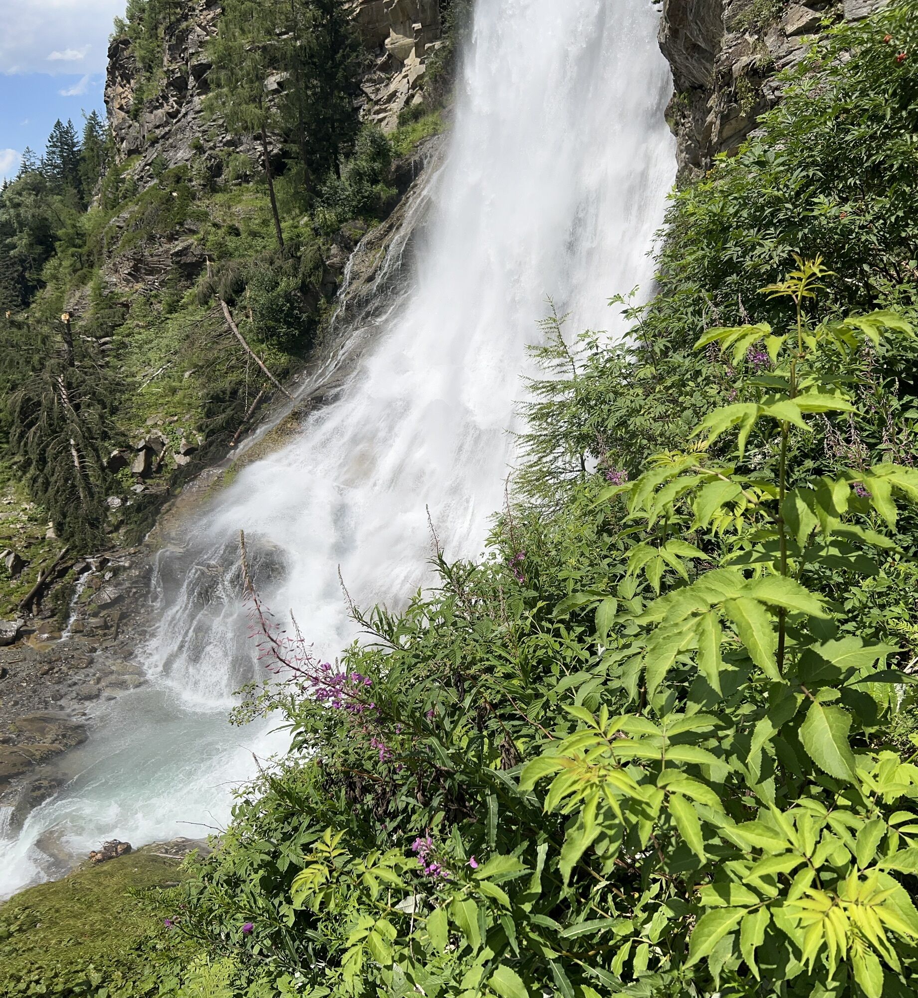
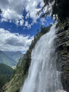
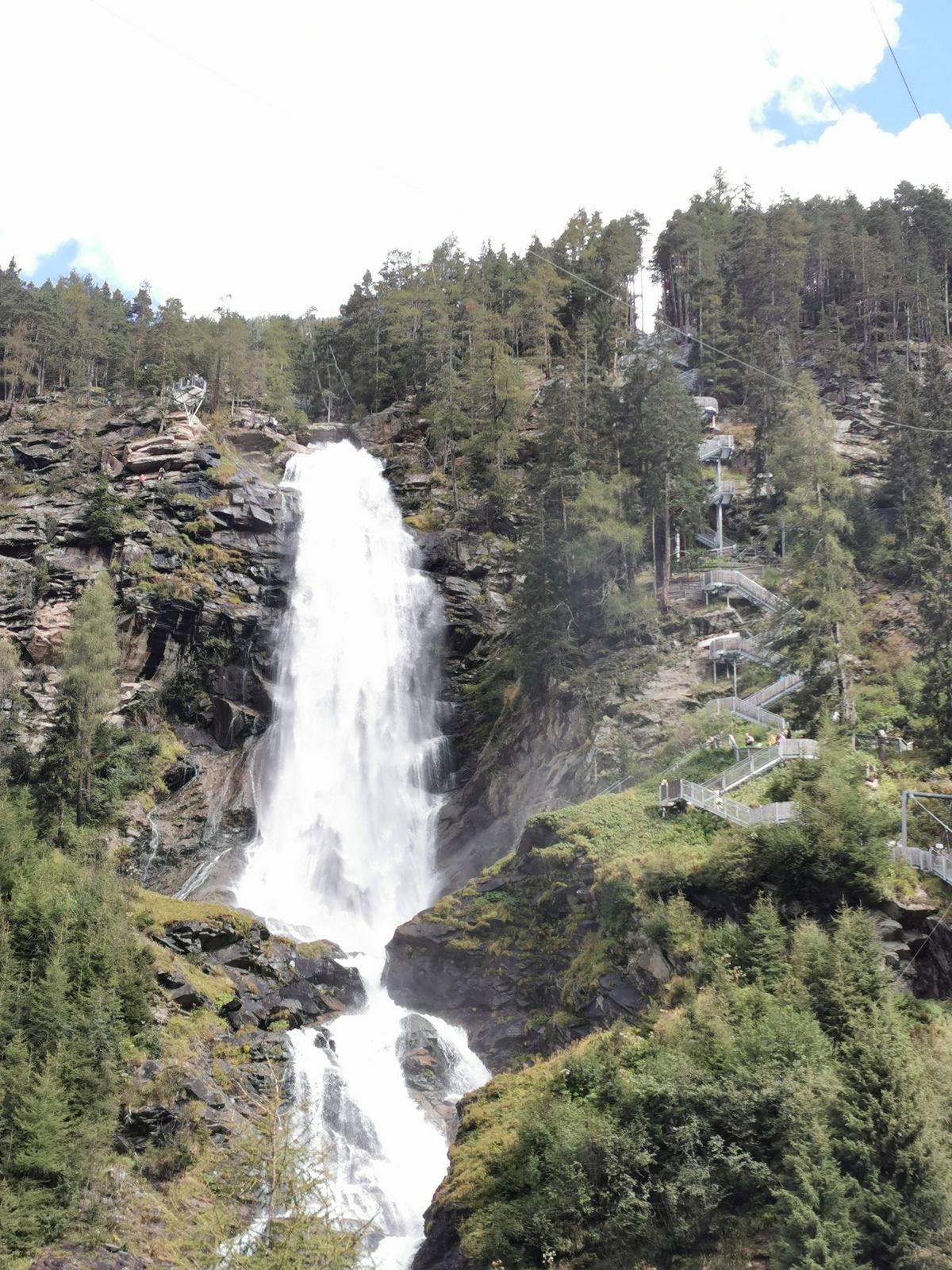
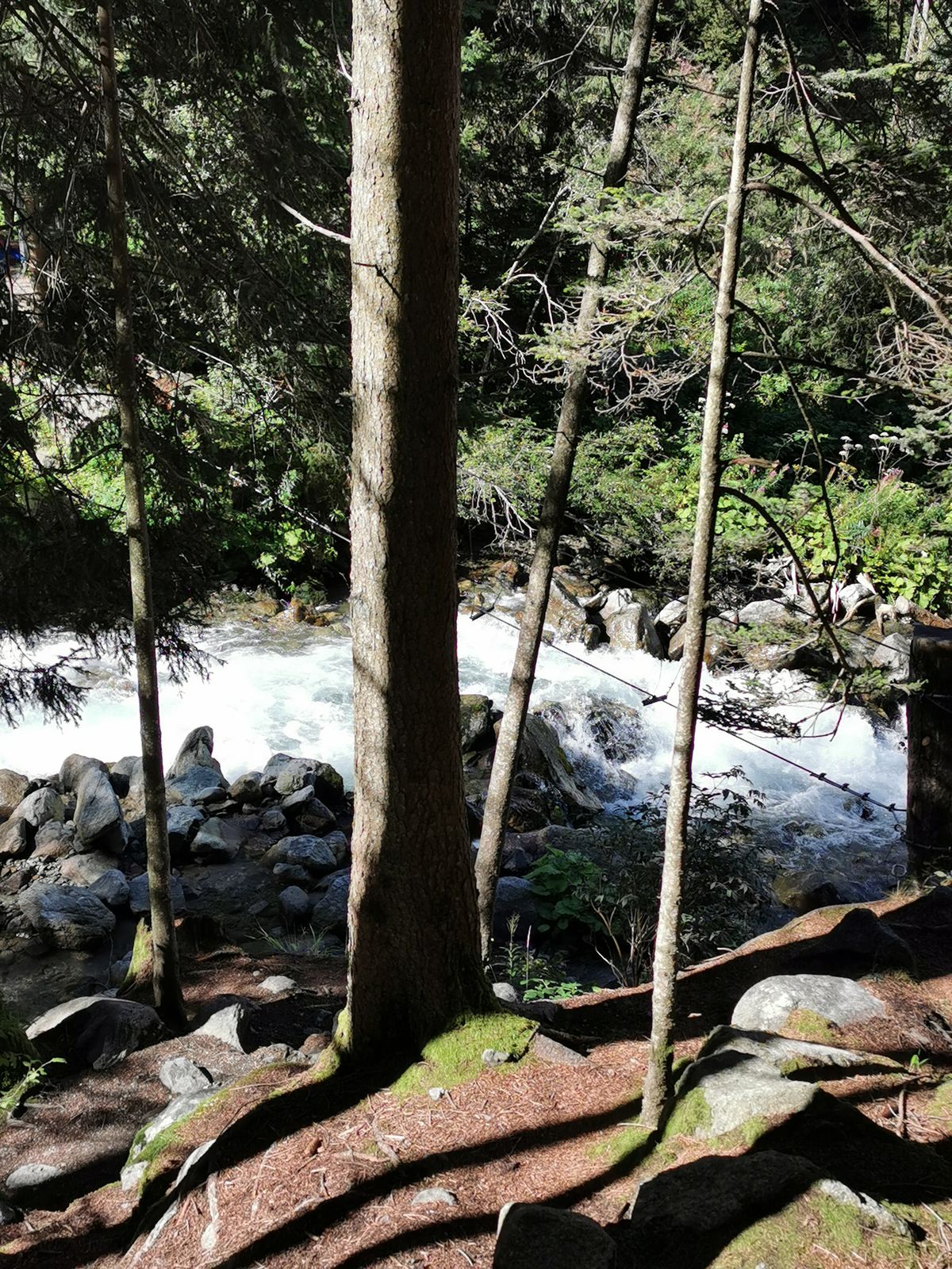
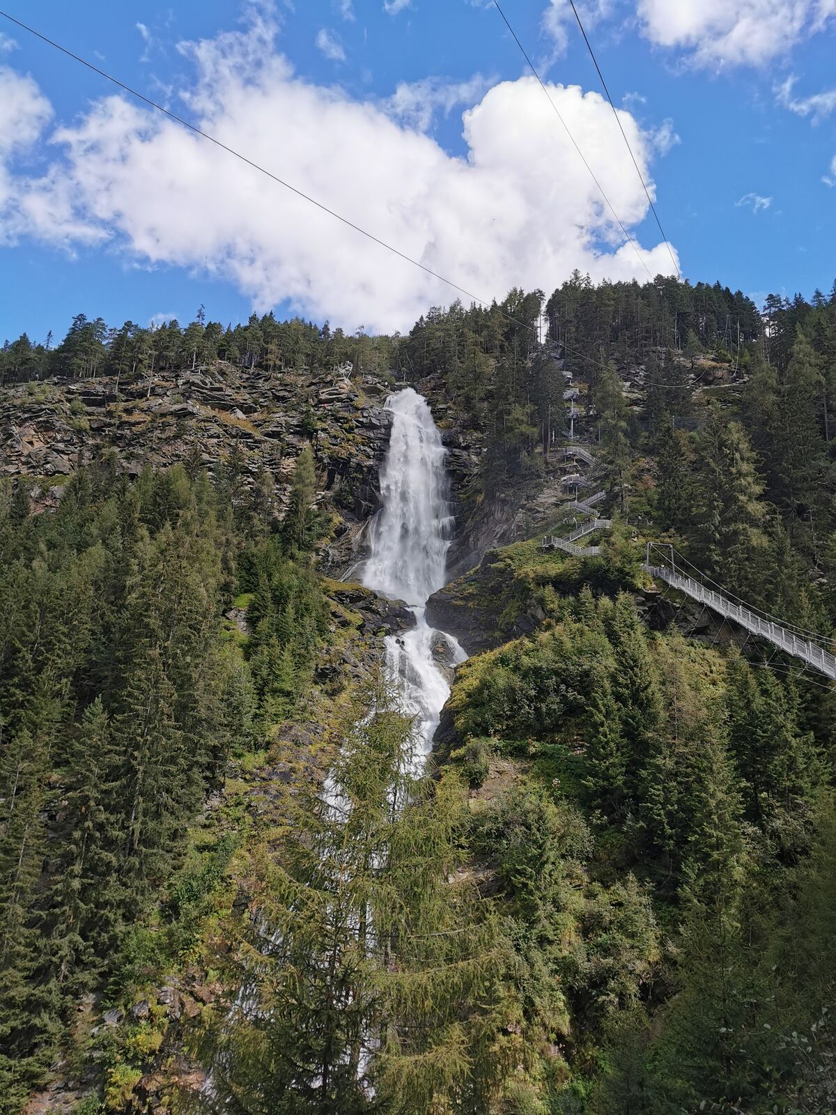
Route
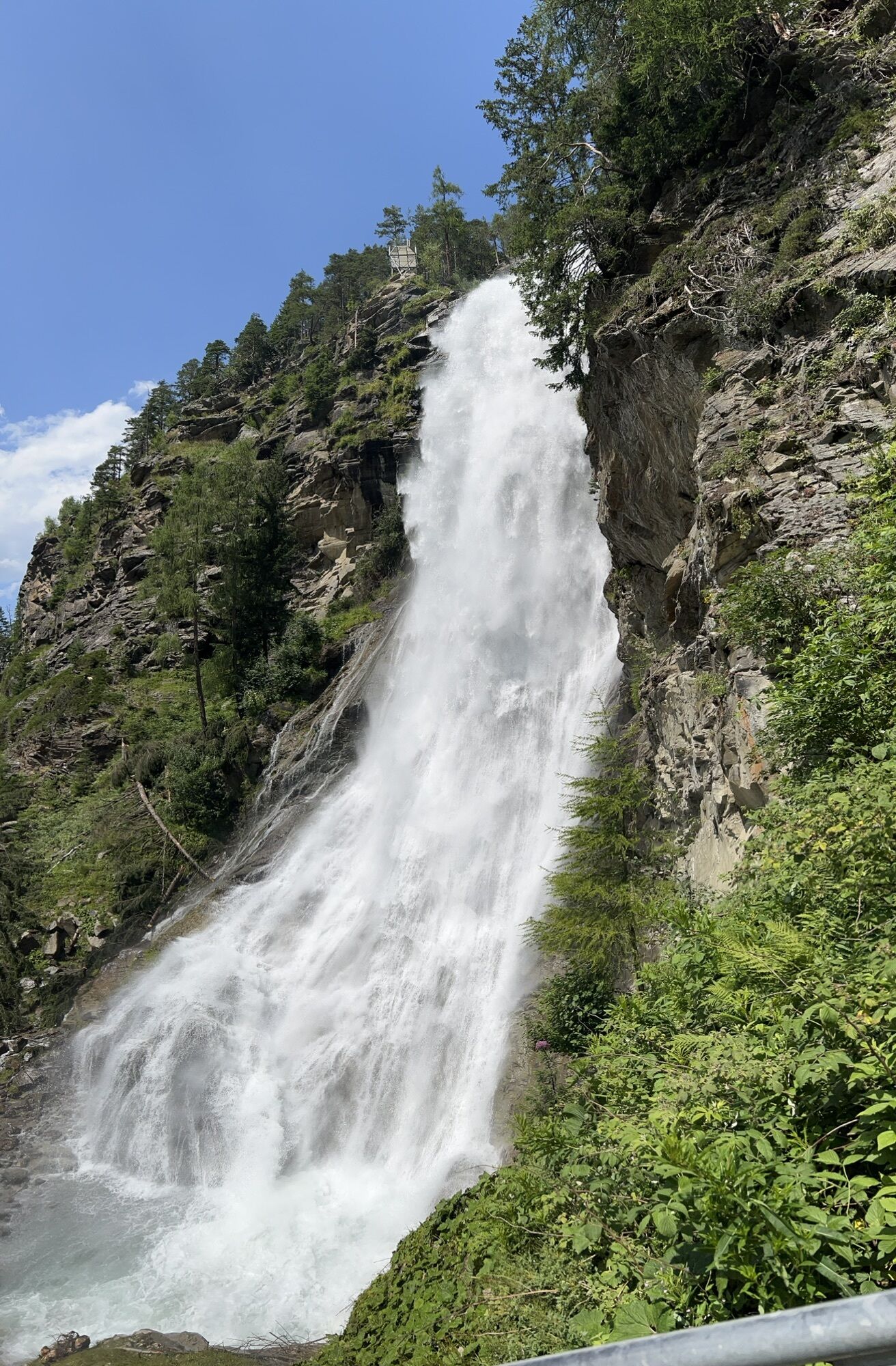
Stuibenfall
(1.387 m)
Waterfall
2,2 km
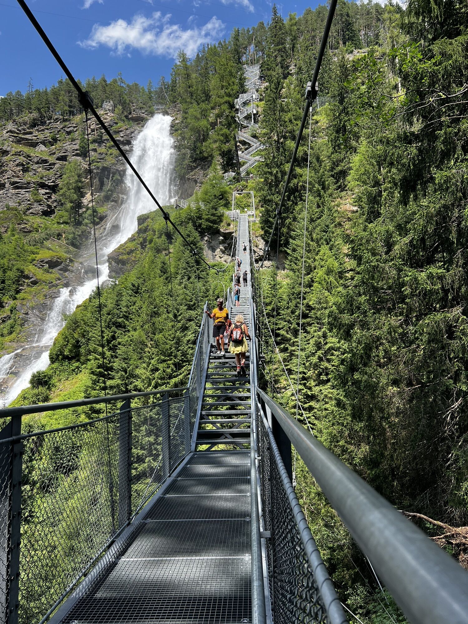
Stuibenfall Platform 4
(1.382 m)
Viewpoint
2,4 km
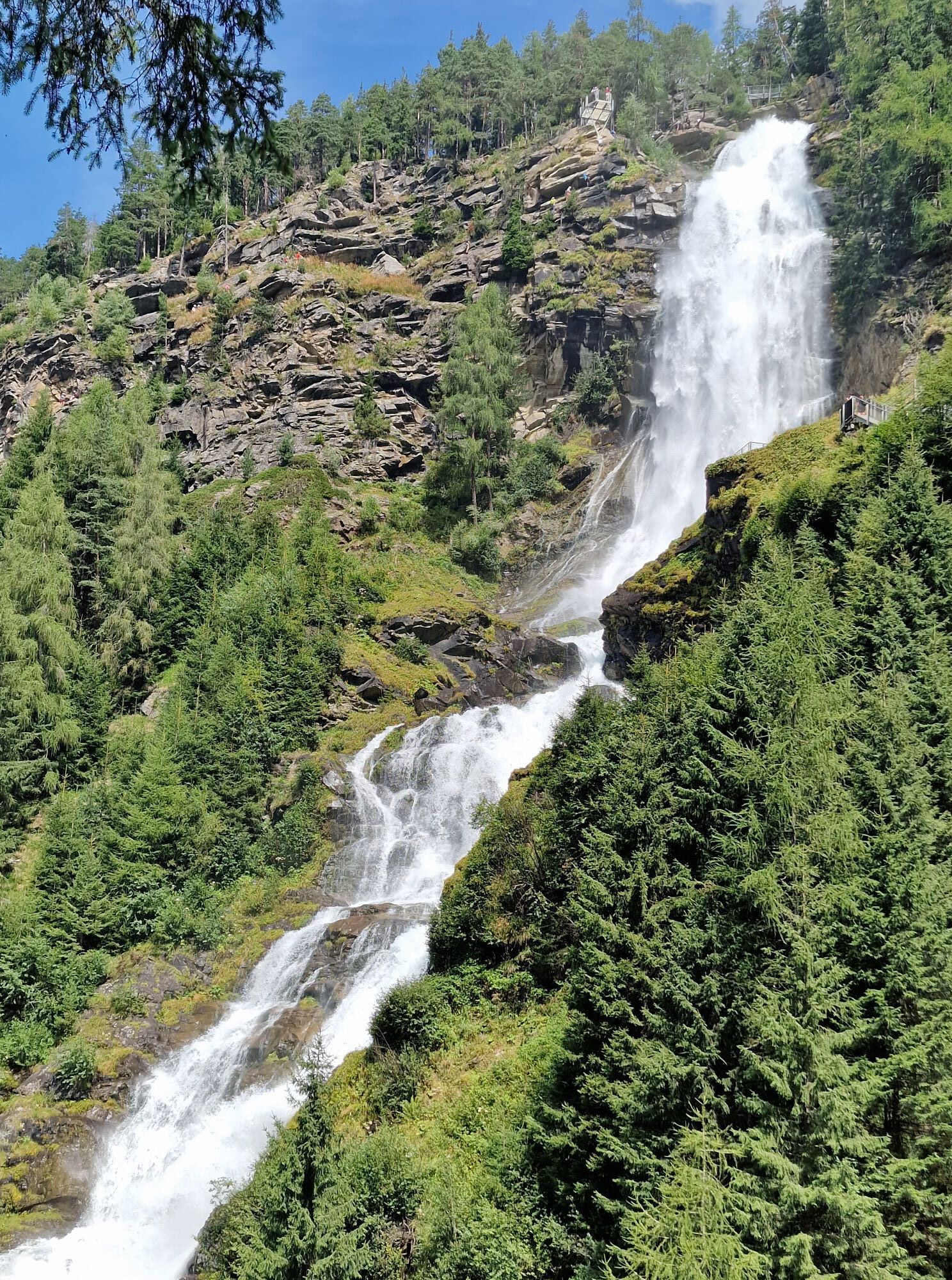
Stuibenfall Platform 1
(1.238 m)
Viewpoint
3,0 km
Route
Umhausen, Tirol
medium
Via ferrata
4,52
km
Stuibenfall Platform 5
(1.404 m)
Viewpoint
2,2 km
Stuibenfall
(1.387 m)
Waterfall
2,2 km
Stuibenfall Platform 4
(1.382 m)
Viewpoint
2,4 km
Stuibenfall Platform 3
(1.363 m)
Viewpoint
2,4 km
Stuibenfall Platform 1
(1.238 m)
Viewpoint
3,0 km
Waldcafe Stuböbele
(1.151 m)
Restaurant
3,4 km


Last tracked
today
Additional information & tips
Boarding time
00:30:00
Climbing time
00:45:00
Rock quality
4/6
No reviews yet
Popular tours in the neighbourhood
- 4,7
Winnebachseehütte - Längenfeld/Gries
mediumHiking4,74 km - 4,2
Stuibenfall hike - Umhausen
lightHiking2,95 km - 4,6
Faltegartenköpfl peak
mediumHiking4,04 km - 4,4
Oetz - Lake Piburger See - Oetz
mediumHiking7,16 km - 4,4
Loop trail Stuibenfall Umhausen
lightHiking9,32 km - 4,5
Amberger Hut
mediumHiking5,60 km - 5,0
Larstigalm - Niederthai
lightHiking3,24 km - 4,8
Faltegartenköpfl (01)
lightSki tour4,19 km - 4,6
Umhausen - Stuibenfall - Umhausen
mediumHiking7,94 km - 4,1
Lampsenspitze, Sellrain, Tirol
mediumSki tour4,97 km
Hiking & Tracking

Over 550.000 tour suggestions, detailed maps and an intuitive route planner make the app a must-have for all nature enthusiasts.

Don't miss out on offers and inspiration for your next holiday
Subscribe to the newsletter
Error
An error has occurred. Please try again.Thank you for your registration
Your e-mail address has been added to the mailing list.
Tours throughout Europe
Austria Switzerland Germany Italy Slovenia France Netherlands Belgium Poland Liechtenstein Czechia Slovakia Spain Croatia Bosnia and Herzegovina Luxembourg Andorra Portugal Iceland United Kingdom Ireland Greece Albania North Macedonia Malta Norway Montenegro Moldova Kosovo Hungary San Marino Romania Estonia Latvia Belarus Cyprus Lithuania Serbia Bulgaria Monaco Denmark Sweden Finland