


- Brief description
-
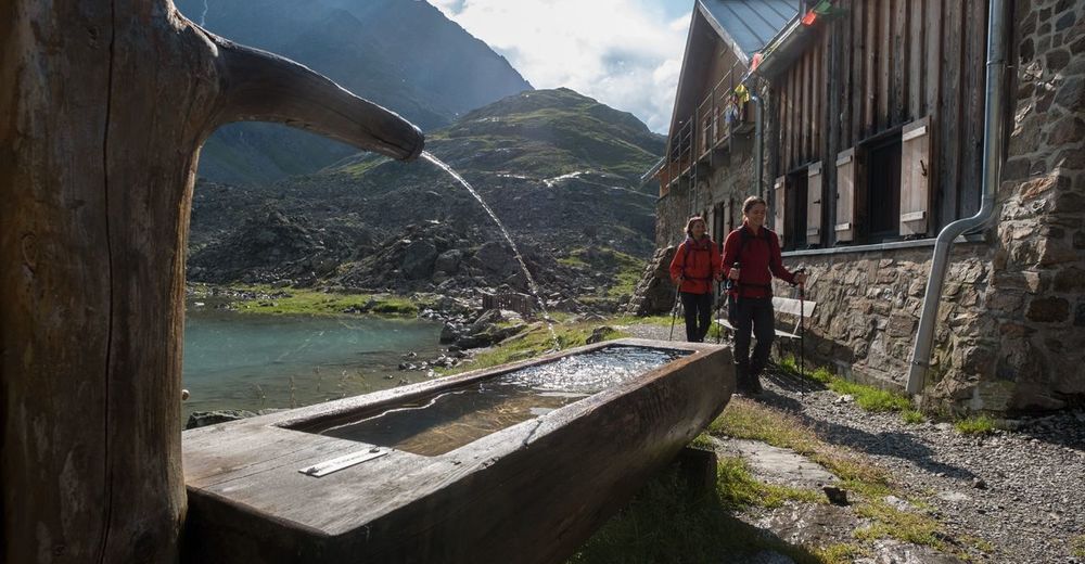
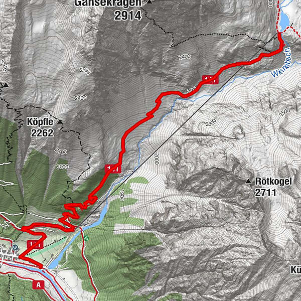
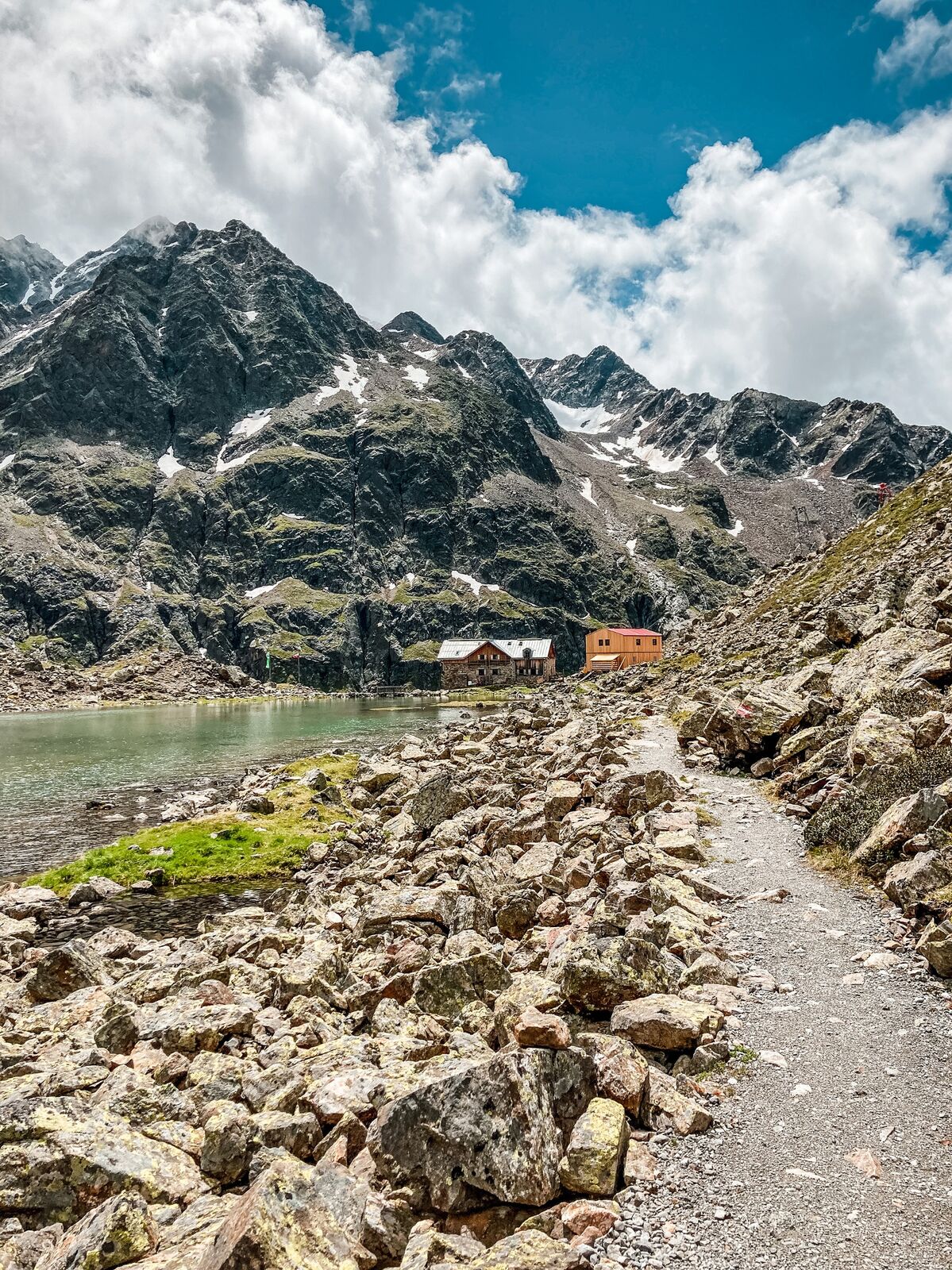
GRIES PARKING AREA -> Winnebach -> Path Winnebachseehütte -> WINNEBACHSEEHÜTTE
- Difficulty
-
medium
- Rating
-
- Starting point
-
Gries
- Route
-
Gries (1,569 m)0.1 kmPension Winnebach1.0 kmWinnebachseehütte4.7 km
- Best season
-
JanFebMarAprMayJunJulAugSepOctNovDec
- Description
-
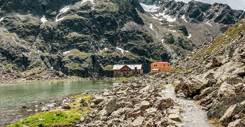
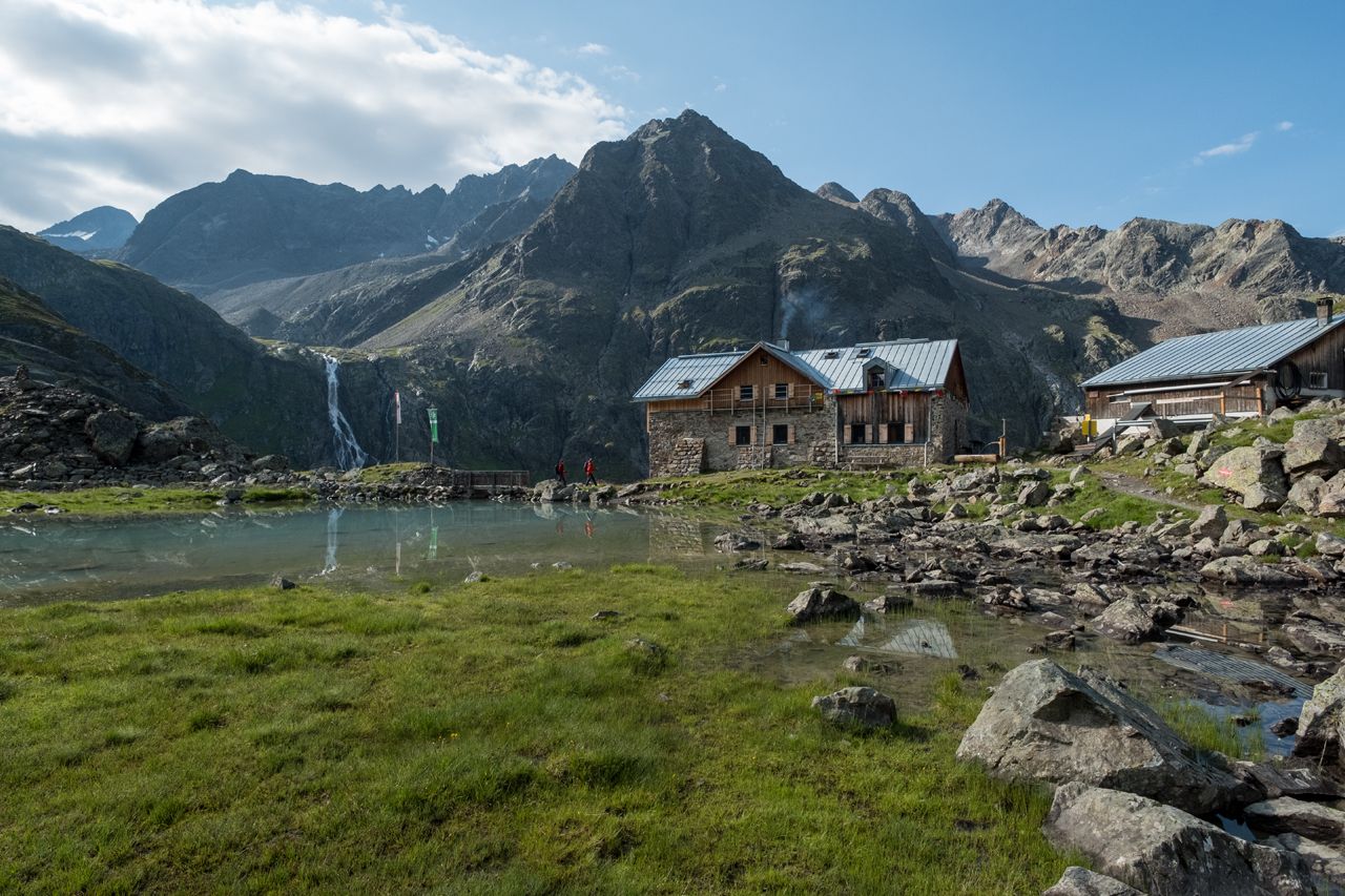
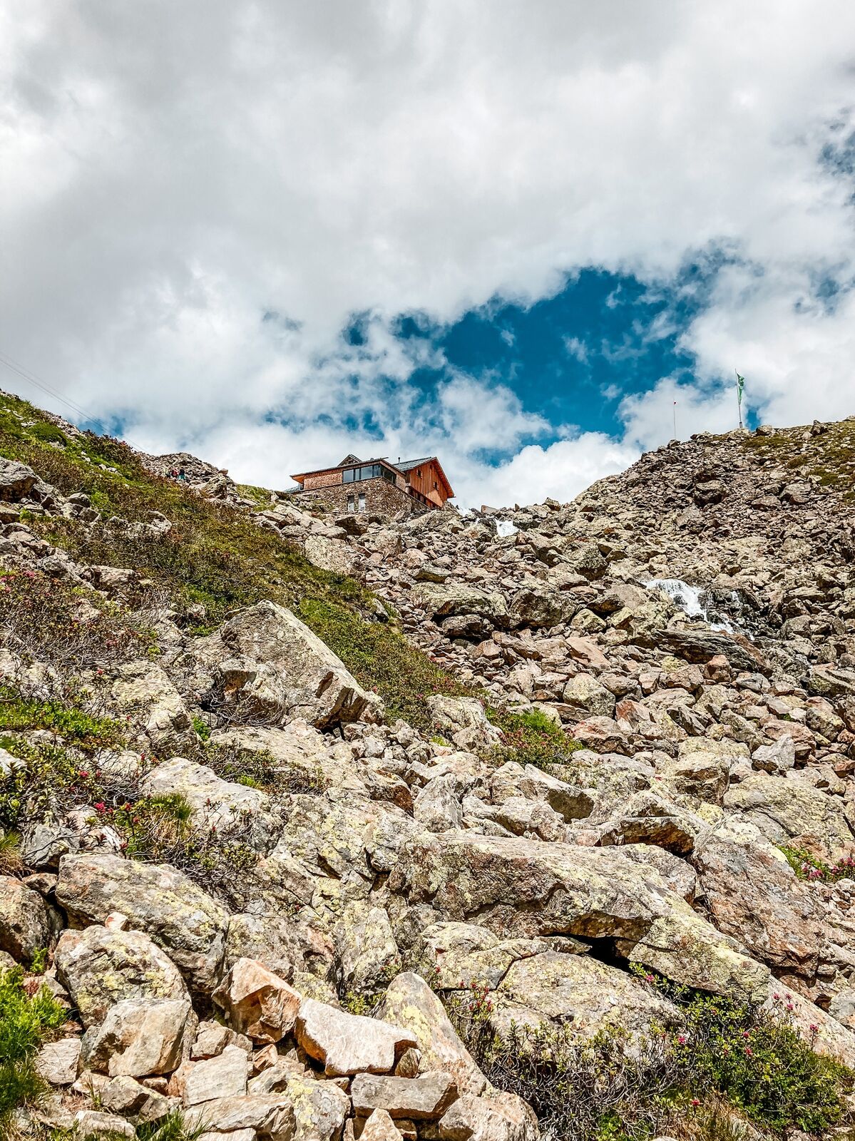
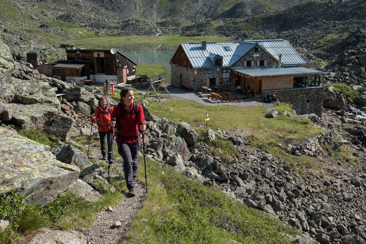
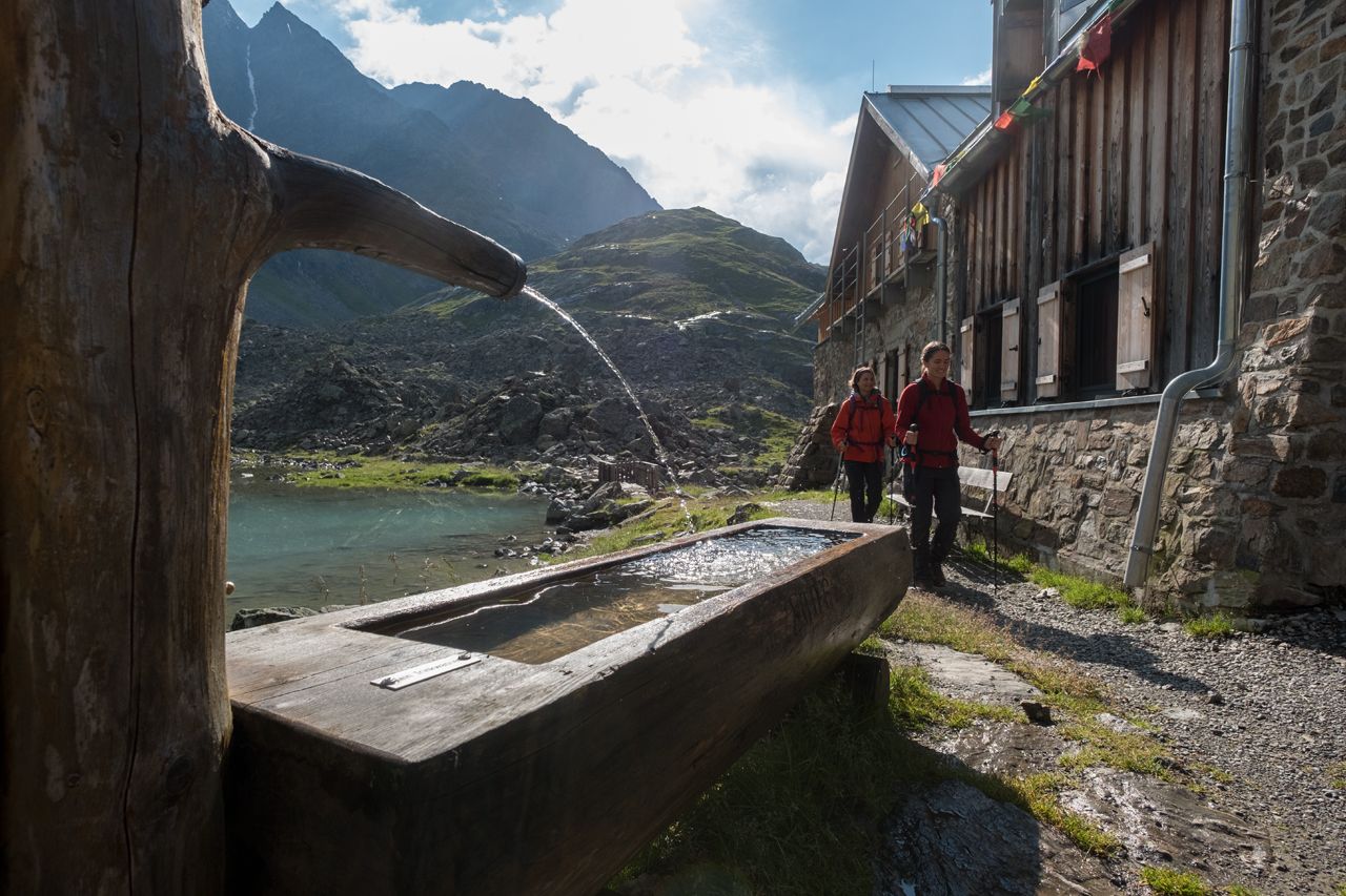
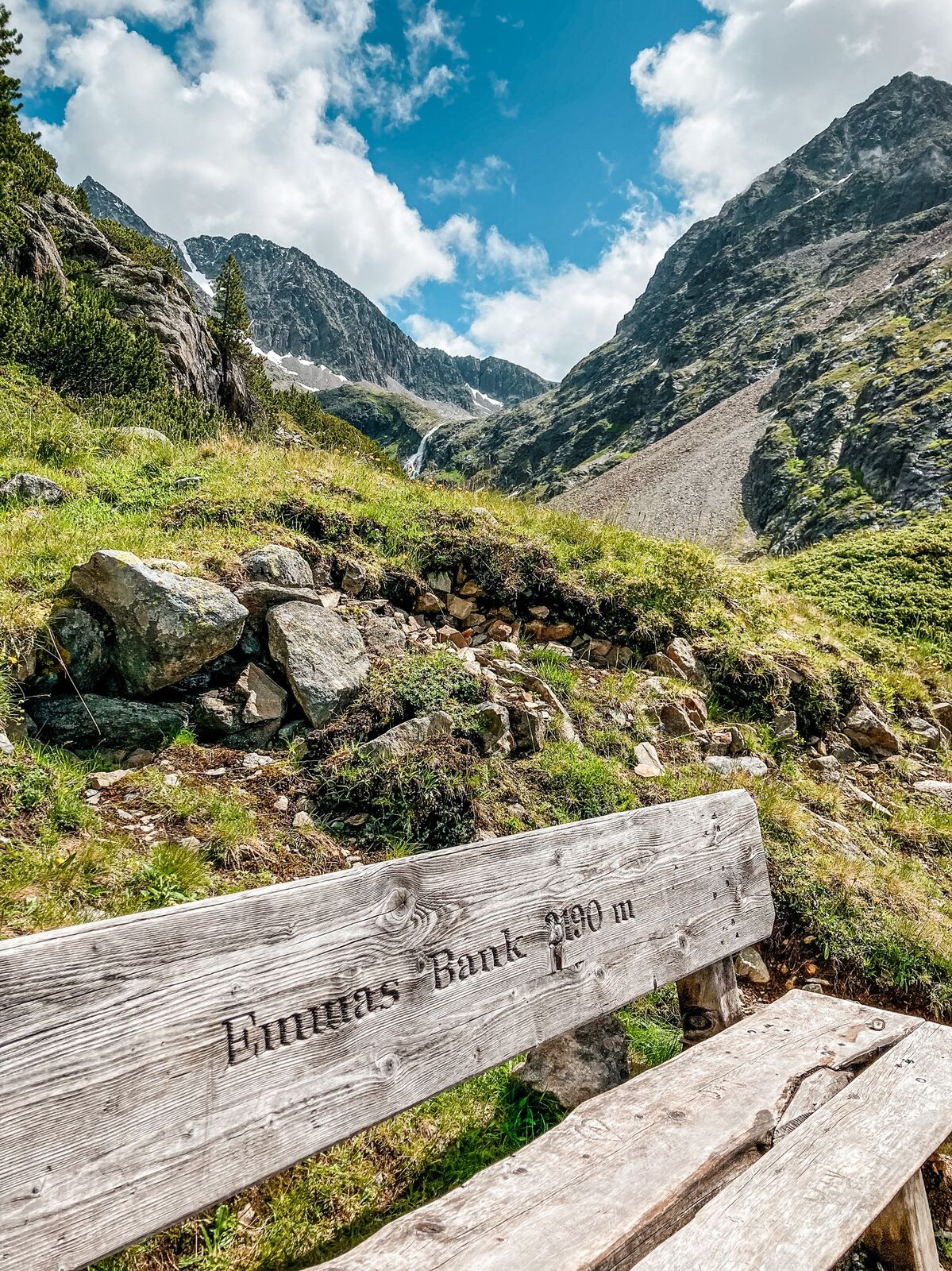
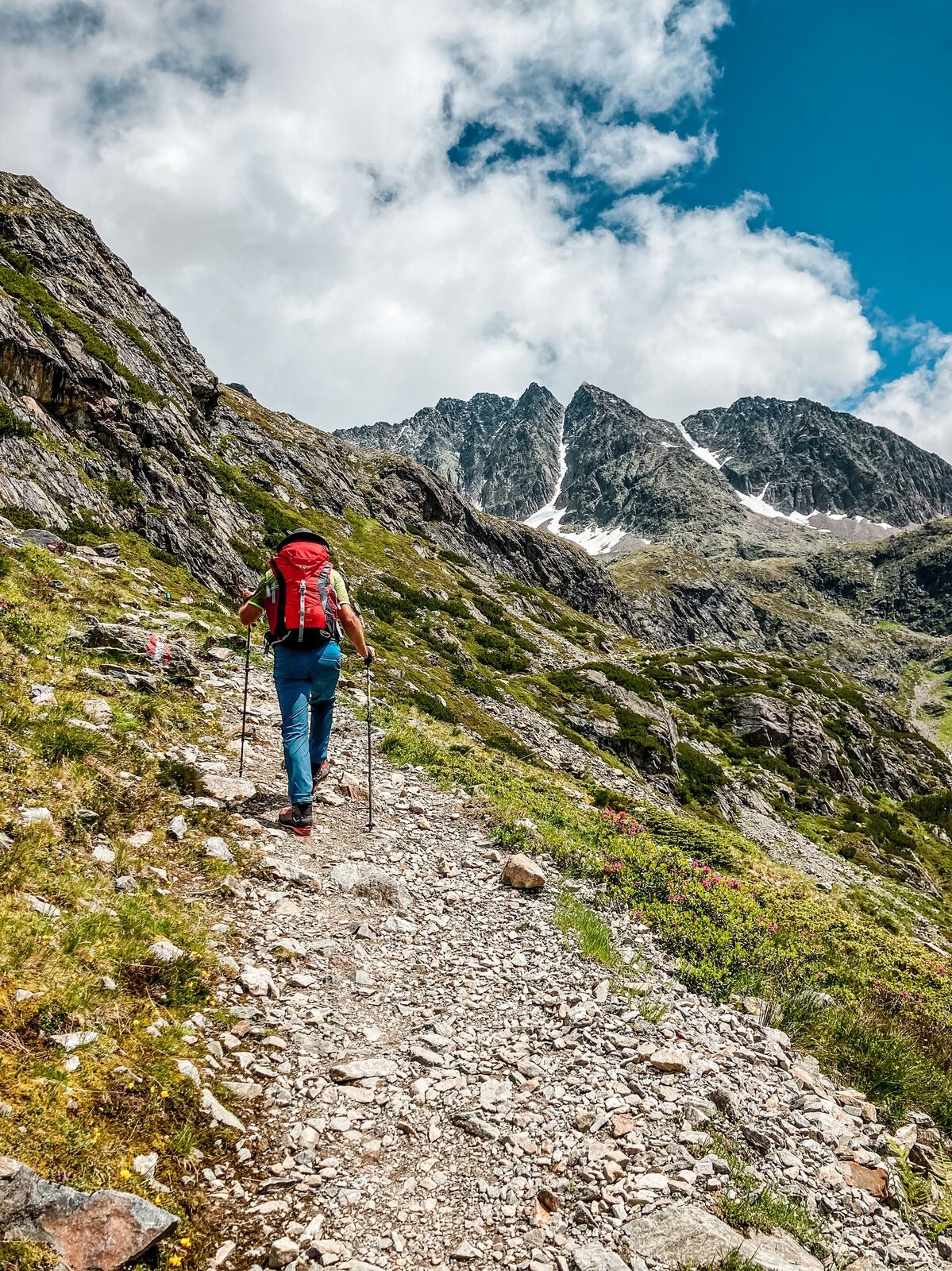
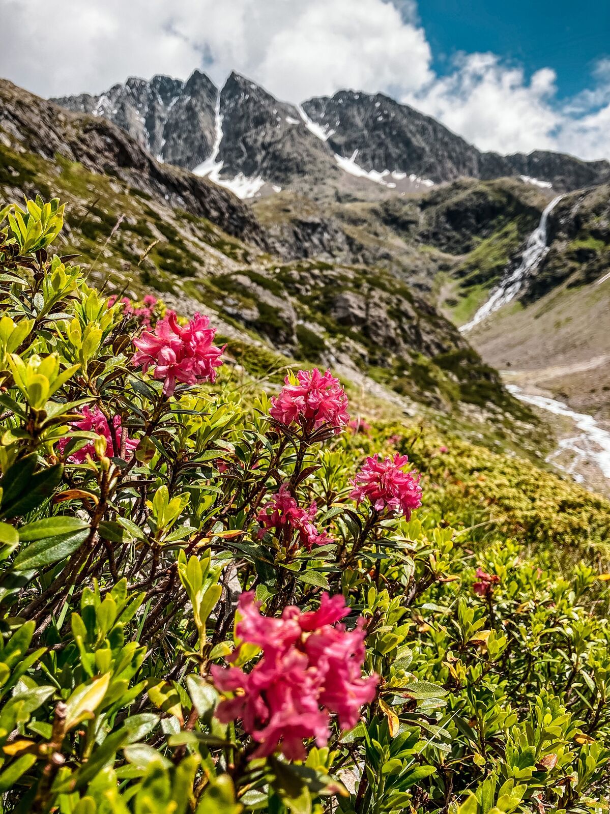
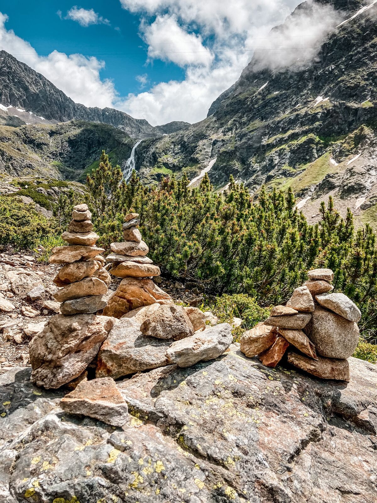
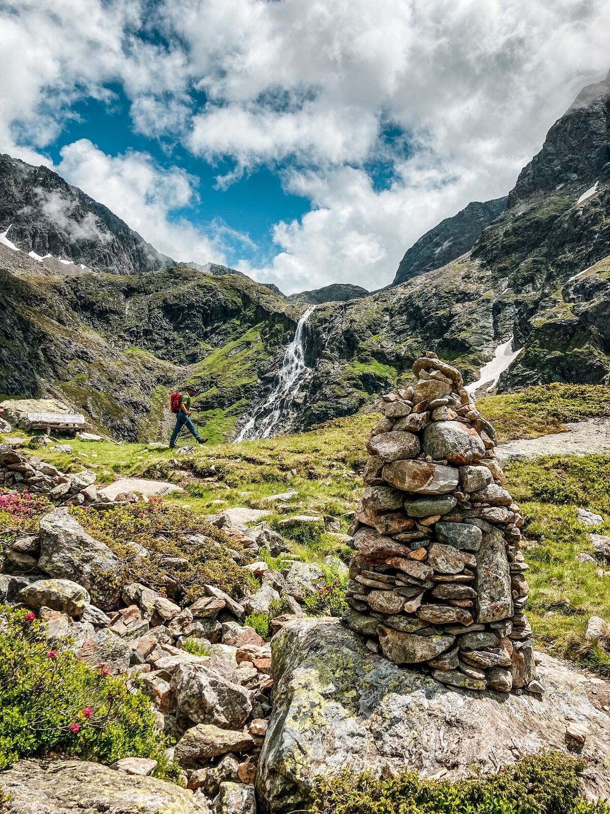
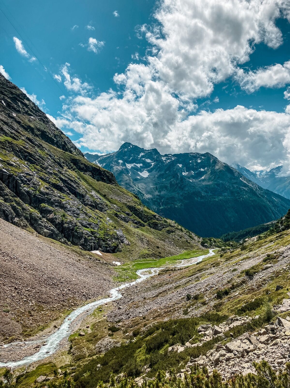
From the parking lot at the end of Gries you follow the road to Winnebach to take the trail towards Winnebachseehütte. Soon the steep track leads out of the forest past numerous avalanche points. The well-laid trail winds up steeply at the end, to the right you can watch the wild Winnebach-river. Arrived at the hut you have the possibillity to linger on the lake, which is located directly behind the hut.
- Directions
-
Start of the hike is the parking lot at the outskirts of Gries. From here follow the road to Winnebach. Once in Winnebach, you will find a seep track that first leads through the forest and then past numerous avalanche points to the Winnebachseehütte.
- Highest point
- 2,352 m
- Endpoint
-
Winnebachseehut
- Height profile
-

- Equipment
-
Appropriate equipment such as breathable suitable outdoor clothes for the weather, is for all hikes and tours necessary. Please bring a first-aid box, a mobile phone, a walking map and if there is no hut on the way a snack and enough to drink
.
- Safety instructions
-
Moderate mountain trail; for sure-footed and experienced hikers. Good physical condition, mountain experience & mountain equipment (see notice equipment) necessary. Please pay attention to the current weather report
- Tips
-
Bronze relief section of the Ötztal Nature Park at the start of the trail: Here you can learn about the habitat "Wild Water" or the history of Gries.
- Additional information
- Directions
-
The car drive to the Ötztal valley. Situated in Tirol, the Ötztal valley set off in southerly direction and is the
longest side valley in the Eastern Alps. The journey with the car leads you through the Inntal valley to the
entrance of the valley and further on through the valley. Among the toll motorways you can also use the country
roads. A route planner will show you the easiest and most convenient way: https://www.google.at/maps
- Public transportation
-
Travel safe and comfortable with the train to the Ötztal Bahnhof train station. Last stop and exit point is the
train station Ötztal Bahnhof. Afterwards you can travel smoothly and quick with the public transport or our local
taxi companies through the valley to your desired destination. Please find the current bus timetable here:
http://fahrplan.vvt.at
- Parking
-
The following parking facilities are available in Gries:
Parking area at the end of the village - (chargeable)
- Author
-
The tour Winnebachseehütte - Längenfeld/Gries is used by outdooractive.com provided.


General info
-
Ötztal
1111
-
Längenfeld - Huben - Gries
355