


Level of difficulty: T2


There was mining in Stuhlfelden in Wilhelmsdorf, at Dürnberg, and on the Stimmel. Dilapidated tunnels and miners' caves are evidence of mining activity. The oldest mining was on the Stimmel in Stuhlfelden....
There was mining in Stuhlfelden in Wilhelmsdorf, at Dürnberg, and on the Stimmel. Dilapidated tunnels and miners' caves are evidence of mining activity. The oldest mining was on the Stimmel in Stuhlfelden. At this site in 1911, the goldsmith Karl Födinger from Mittersill found a medium-sized Lap axe made of bronze, stemming from earlier wood and mining operations. The axe is now in a museum in Salzburg.

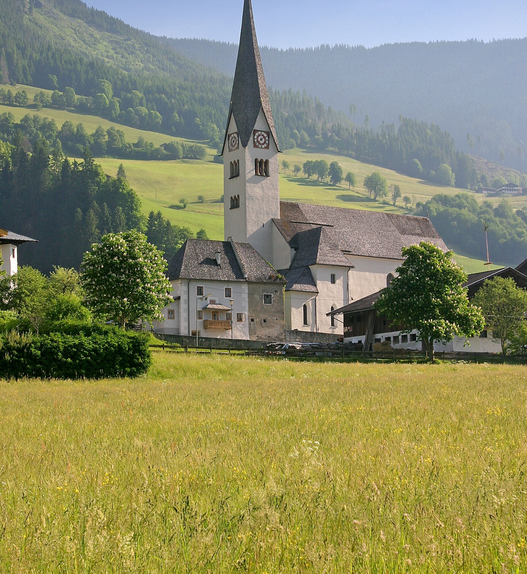
Hike from the village square of Stuhlfelden on the asphalt road to the Grubhof - then turn onto the forest trail and uphill to the footbridge over the Mühlbach, on the right you can take a detour to the Knappenhöhle. From there a steep ascent leads to the Hochrain goods road - stream panorama trail to the Dürnbergstraße - over Dürnbergstraße - old Dürnberg path and forest chapel back to the starting point, the village square in Stuhlfelden.
Yes
Ankle-high hiking boots, weatherproof clothing, sufficient drinking water & snacks, hiking map required.
A basic surefootedness is required!
Drive from Mittersill to Stuhlfelden and turn left into the town center after the Gasthof Flatscher.
The Mittersill-Hollersbach-Stuhlfelden region is very well accessible by the Pinzgau local railway and ÖBB buses.
There are ample parking spaces in the town center and at the Stuhlfelden leisure center.
T2
Mittersill Plus GmbH, Zeller Straße 2, 5730 Mittersill, Tel. +43(0) 6562 4292
welcome@mittersill.info, www.mittersill.info
Popular tours in the neighbourhood
- 4,7
Tristkogel
heavyHiking15,6 km - 3,8
Mittersill - Hintersee und Plattachsee
Hiking8,83 km - 5,0
Manlitzkogel
heavyHiking13,4 km - 3,3
Hinterglemm: Talschluß-Höhenweg
lightHiking10,8 km - 4,3
Schattberg Summit Round
mediumHiking3,17 km - 3,8
Hollersbach: Pihapper Wegnr. 935
heavyHiking12,8 km - 5,0
Panorama tour with 3 summits and 2 lakes
mediumHiking7,35 km - 3,5
Talschluss Höhenweg
mediumHiking11,2 km - 4,8
Schmittenhöhe - Hochsonnbergalm - Pinzgauer Hütte
mediumHiking9,09 km - 3,4
Mittersill: Raised bog Wasenmoos path no. 77
lightThematic route7,06 km
Hiking & Tracking


Don't miss out on offers and inspiration for your next holiday
Your e-mail address has been added to the mailing list.