- Brief description
-
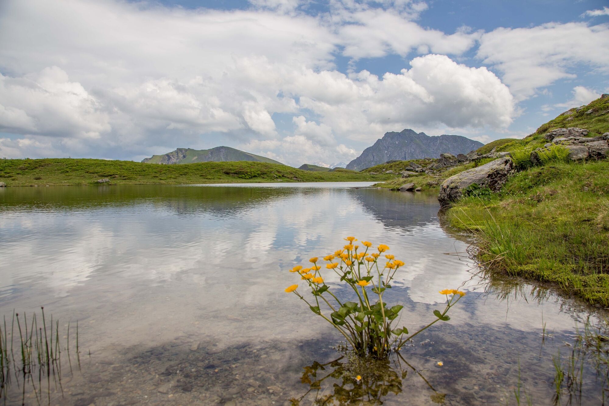
Panoramic mountain tour to the most well-known mountain peak in the valley.
- Difficulty
-
difficult
- Rating
-
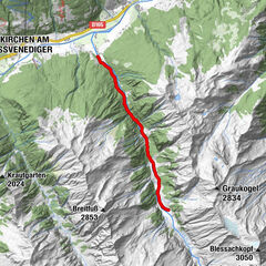
- Starting point
-
Lindlingalm Talschluss (end of valley) - Hinterglemm
- Route
-
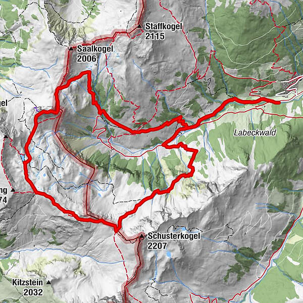
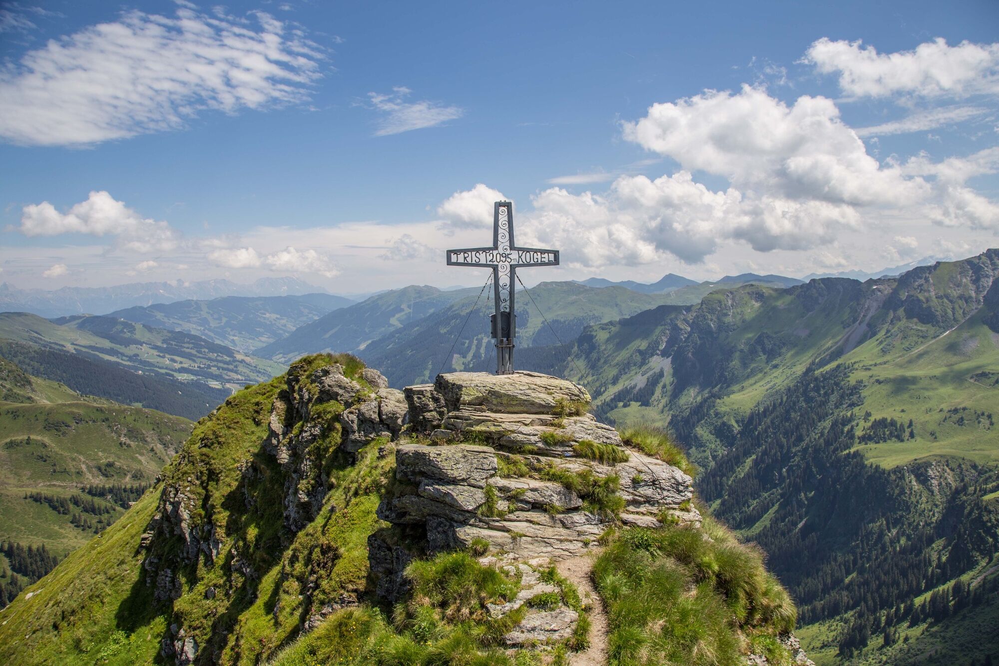
Lindlingalm (1,370 m)1.9 kmJägerkapelle2.2 kmSchusterscharte (1,985 m)5.6 kmMittagskogel7.1 kmTor (1,933 m)8.6 kmTristkogel (2,096 m)9.2 kmSaaljoch (1,875 m)9.9 kmOssmannalm12.3 kmLindlingalm (1,370 m)13.7 km
- Best season
-
JanFebMarAprMayJunJulAugSepOctNovDec
- Description
-
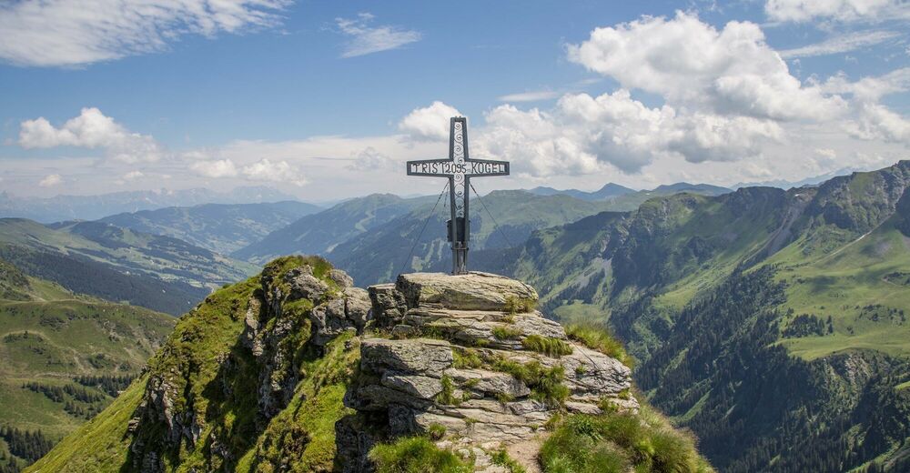
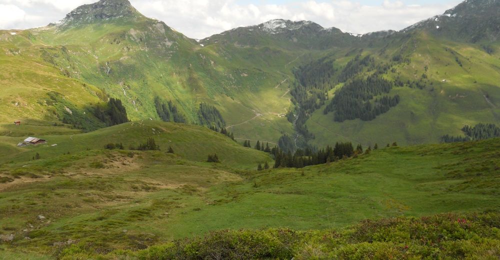
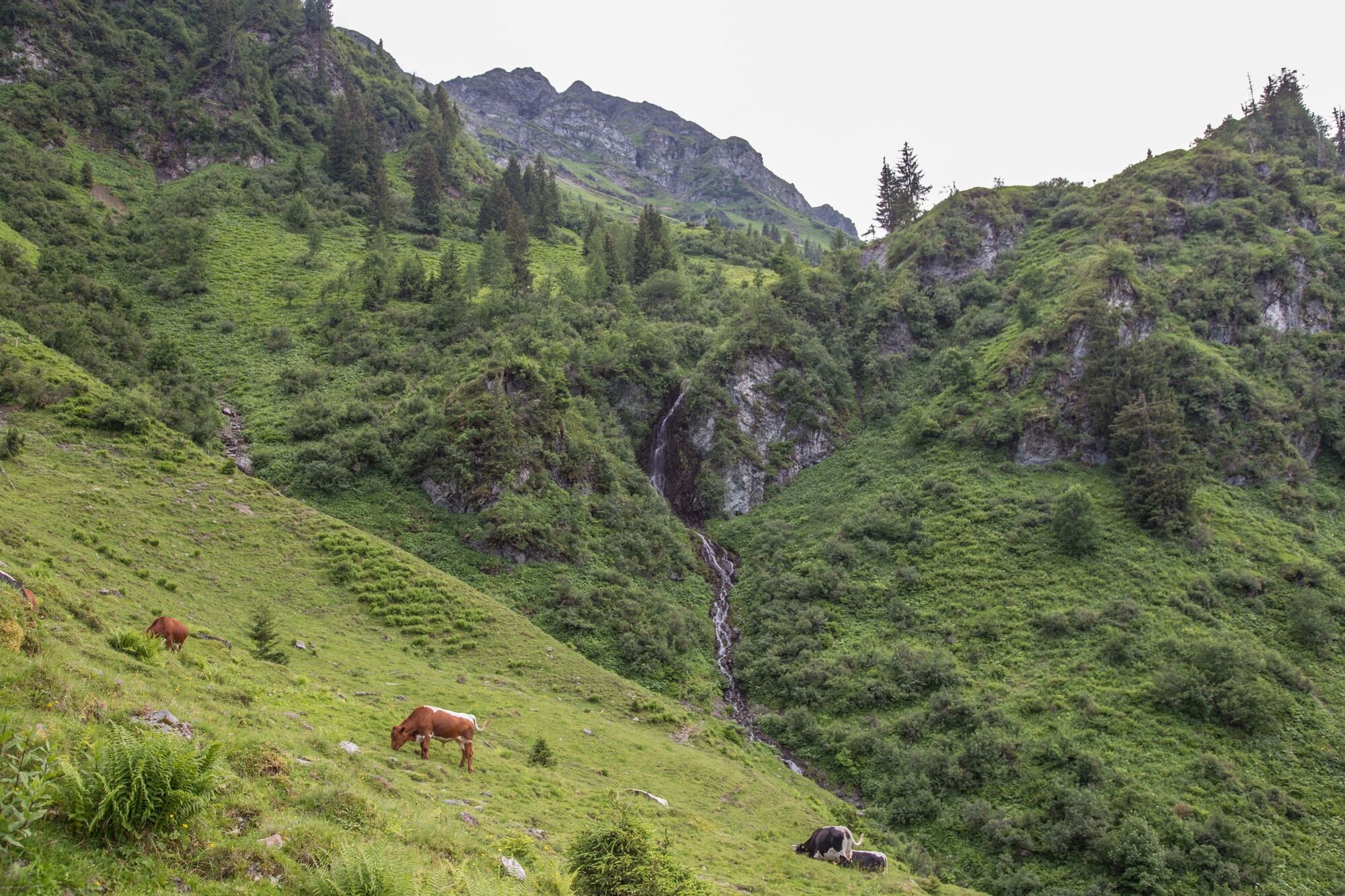
From the Lindlingalm on a well marked route, via the Ossmannalm to the Saaljoch. The direct ascent to the summit should only be undertaken by sure-footed mountain hikers who do not suffer from vertigo. After crossing the ridge, you climb up to the Tor and then back down to the Lindlingalm via the Pfandebenalm.
- Directions
-
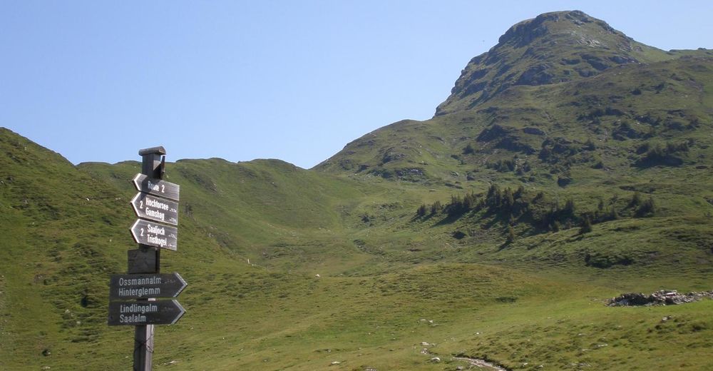
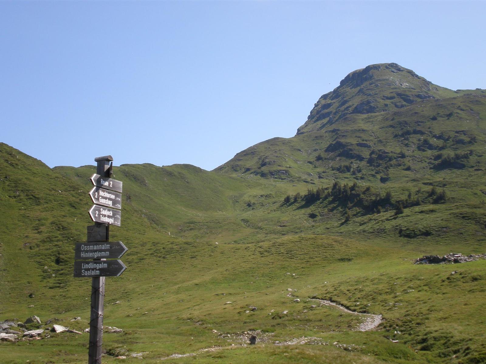
Take the noddy train to Lindlingalm, past the the Ossmannalm to the ditch near the Mittersaal.
From here follow the signposts and walk uphilll to the Saaljoch.
If you are surefooted, you can take the direct ascent down from the Tristkogel, or follow the the normal route down.
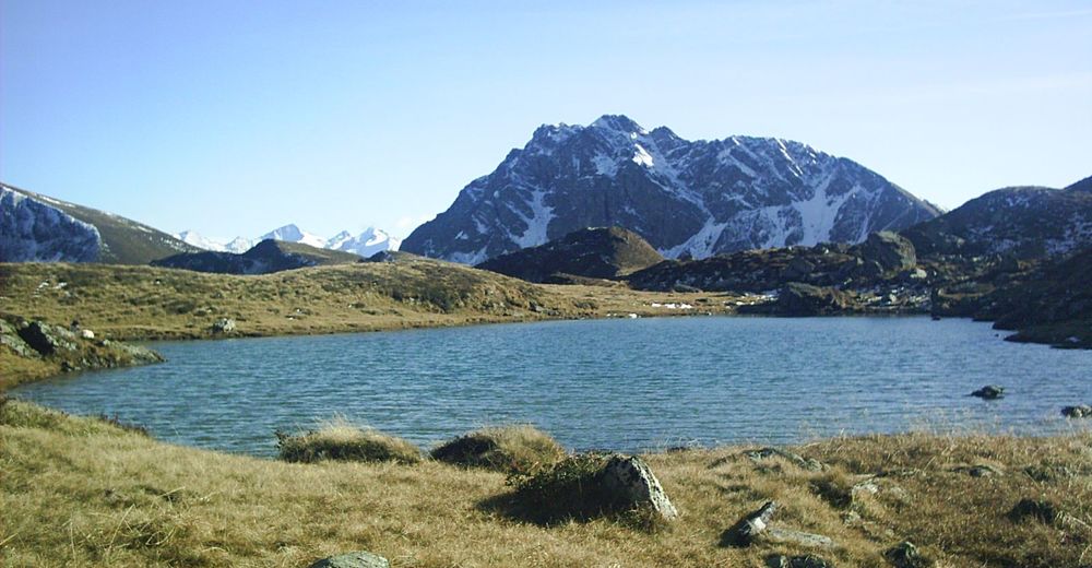
Now you can choose to either to continue the ascent over the Pfandeben, or continue further to the Hochtorsee and Gamshag.
For the last part of the descent, you can also go over the Mittagskogel to the Schusterscharte and on to the Lindlingalm.
- Highest point
- 2,080 m
- Endpoint
-
Lindlingalm Talschluss (end of valley) - Hinterglemm
- Height profile
-

- Equipment
-
Sturdy hiking boots, waterproofs, sun cream
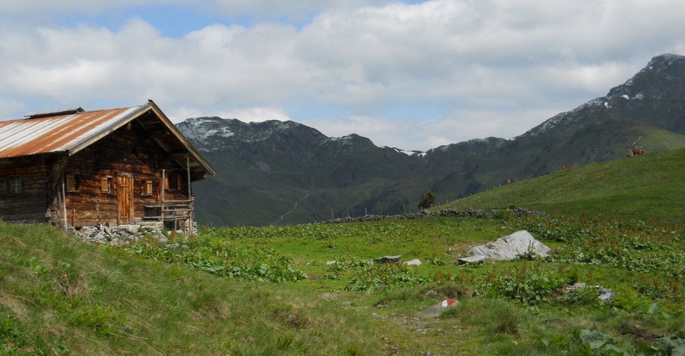
Sufficient provisions (food and drink) as the Toralm is not always open.
- Safety instructions
-
The ascent to the Tristkogel summit is only for those who are sure-footed.
- Tips
-
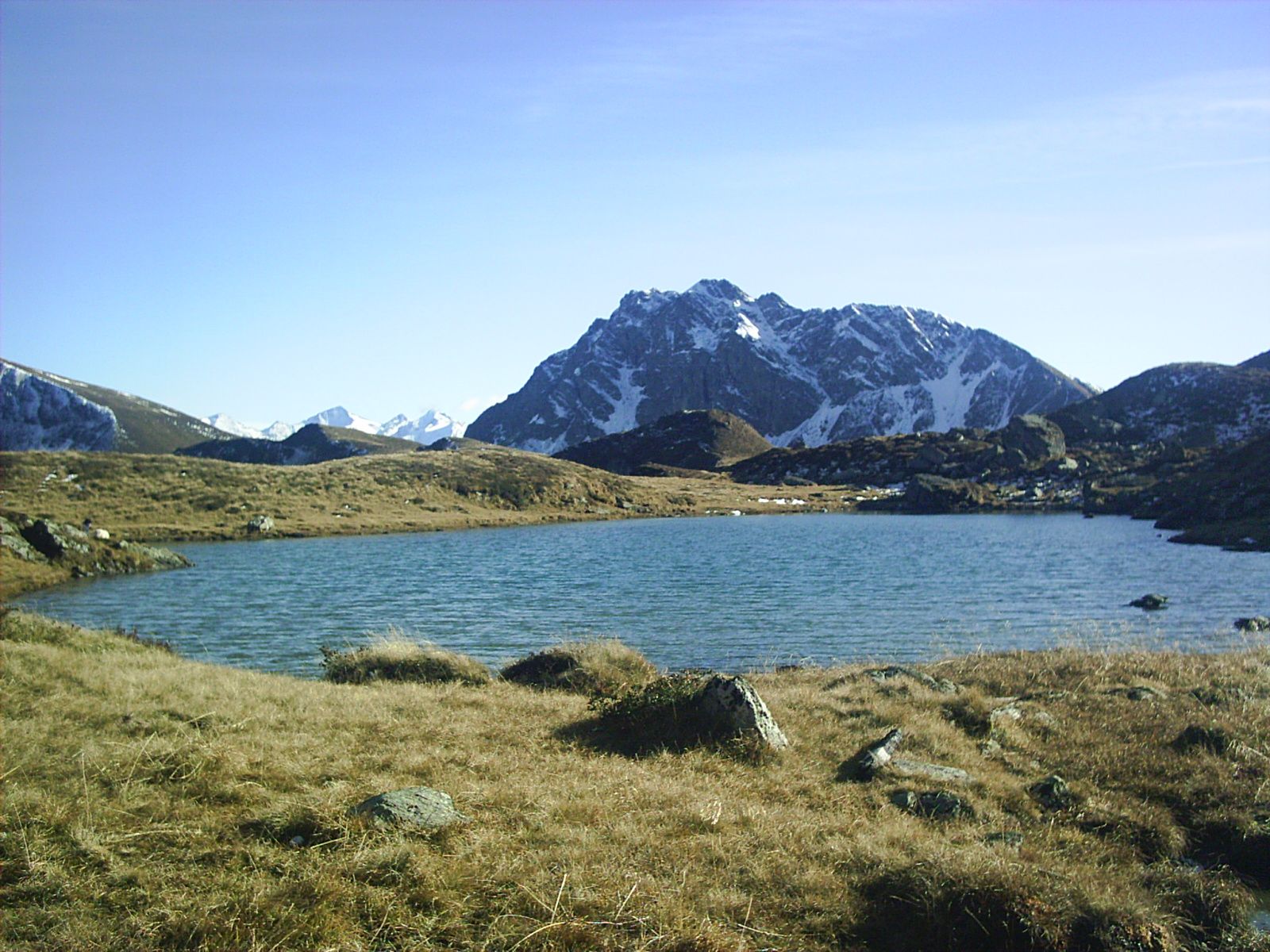
This tour can be extended via the beautiful Hochtorsee (lake).
- Additional information
-
You can take the noddy train from Lengau to the Lindlingalm and vice versa. Please take note of timetable.
- Directions
-
From Maishofen approx. 18 km along the L111 to Hinterglemm. In Hinterglemm go through the tunnel and continue approx. 4 km to Lengau.
The walk to the Lindlingalm takes aproox. 30 mins, or take the noddy train.
- Public transportation
-
Post Bus – daily from 07.00 – 19.00 hours.
http://www.postbus.at/de/Fahrplanauskunft/index.jsp
- Parking
-
Parking available (free of charge) approx. 200 m on from Hotel Lengauerhof


- Author
-
The tour Tristkogel is used by outdooractive.com provided.