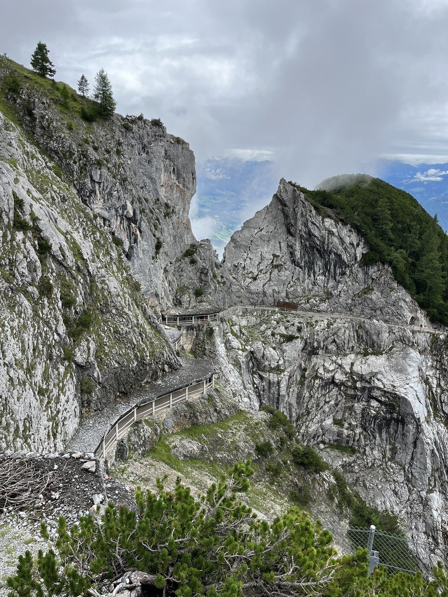
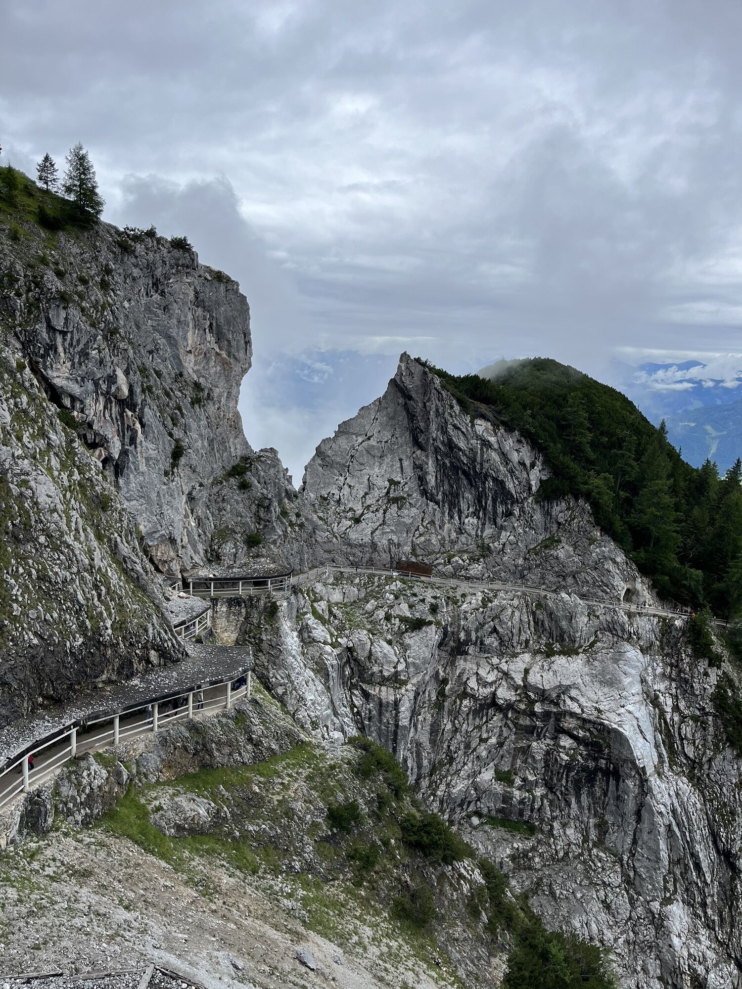
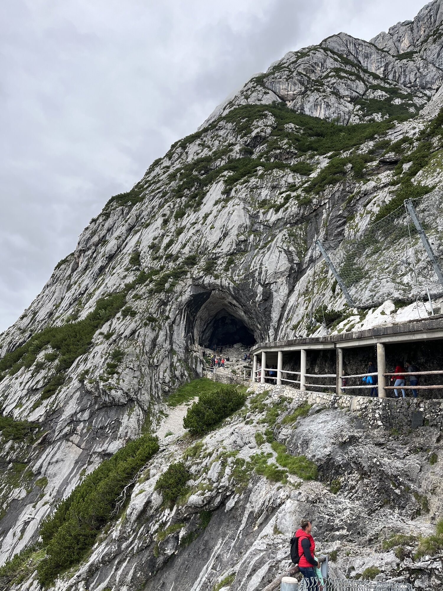
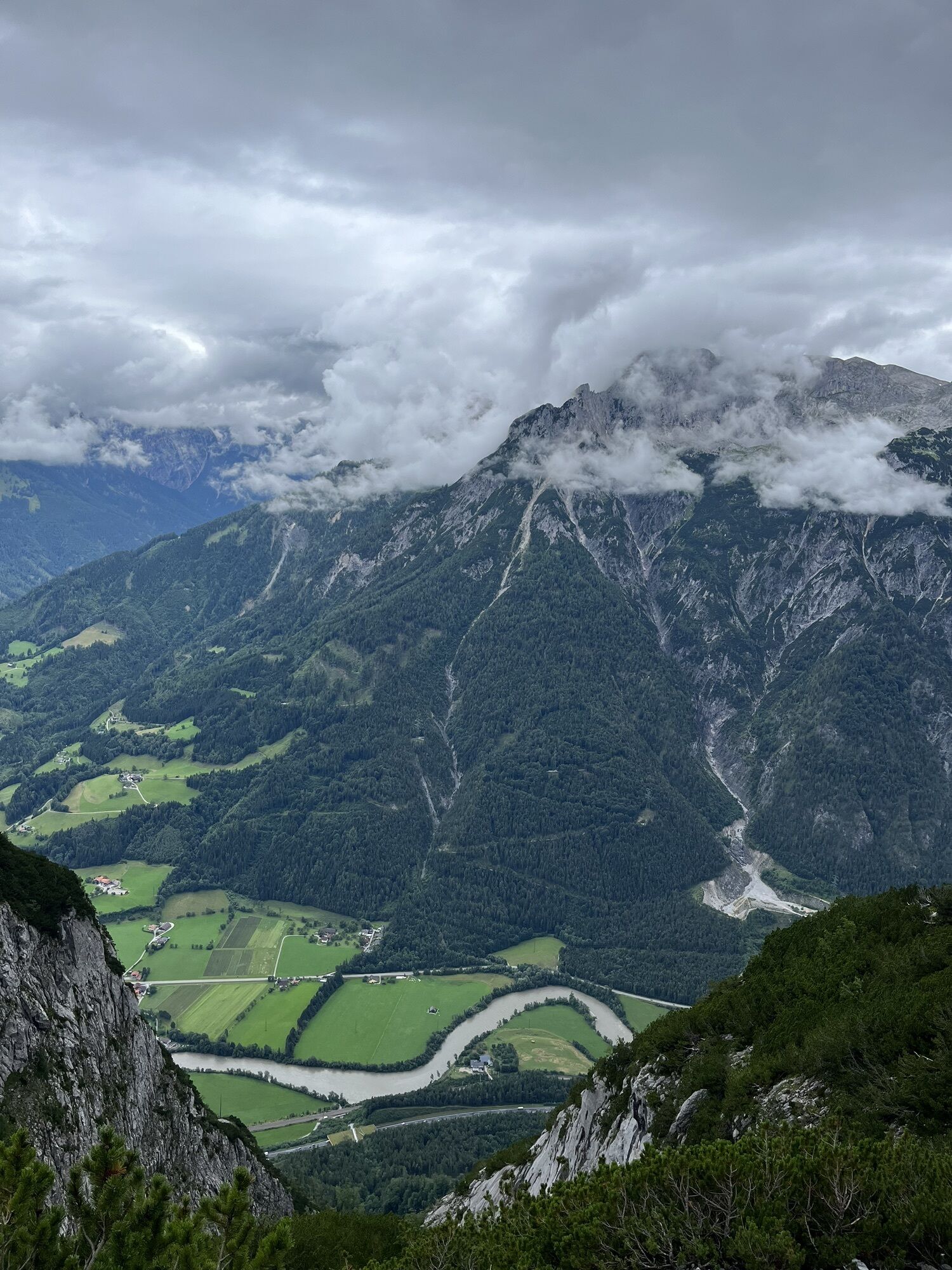
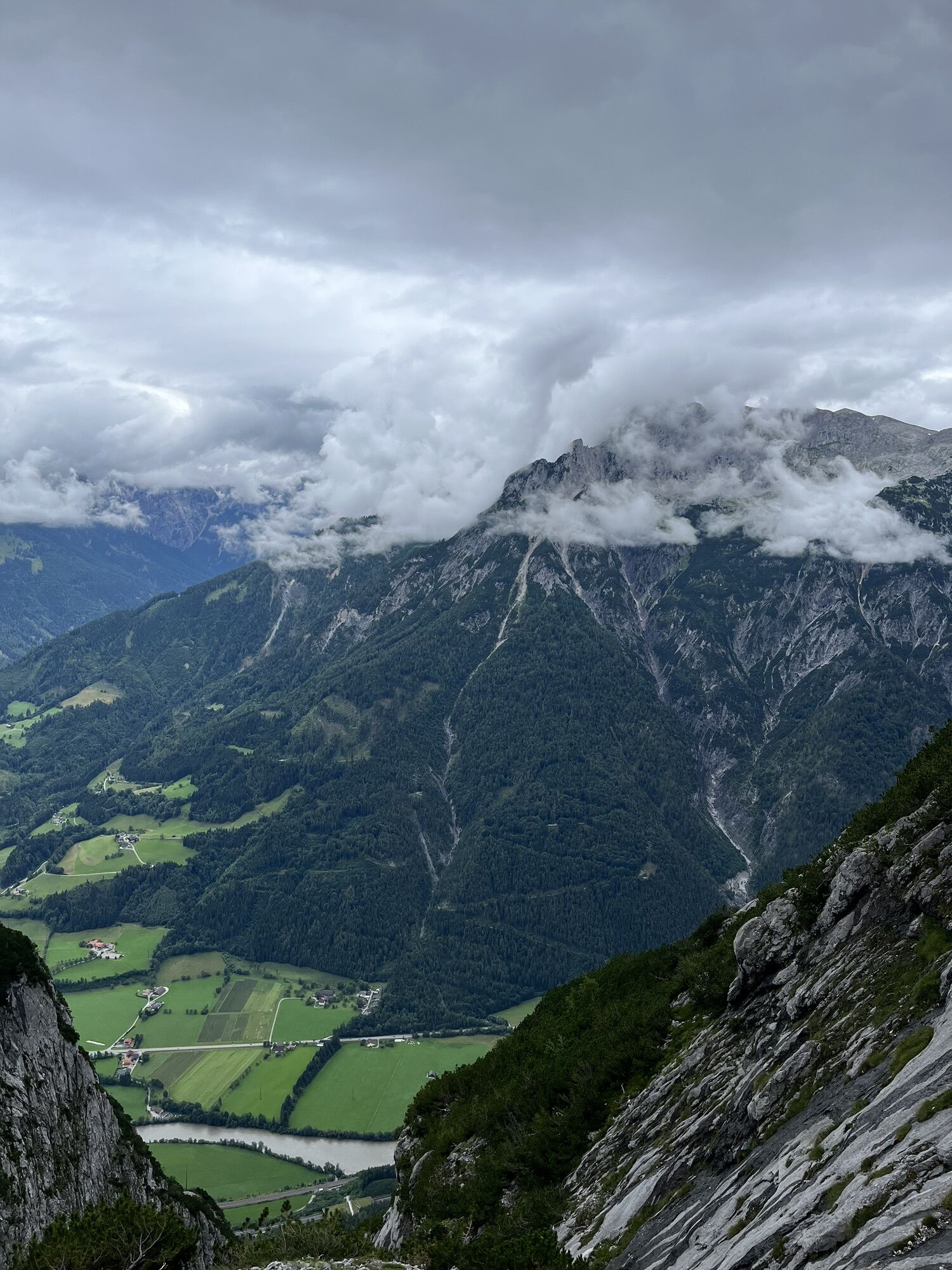
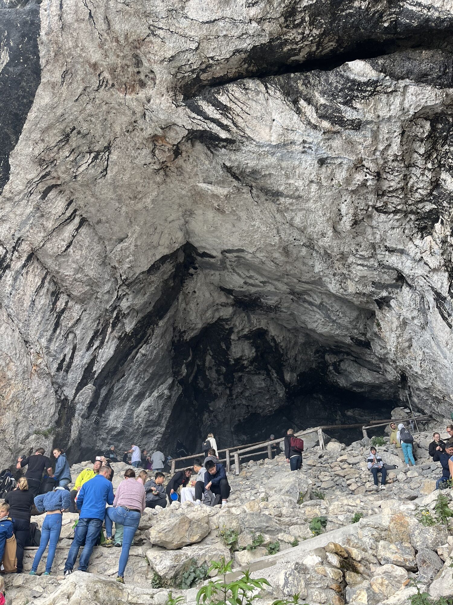
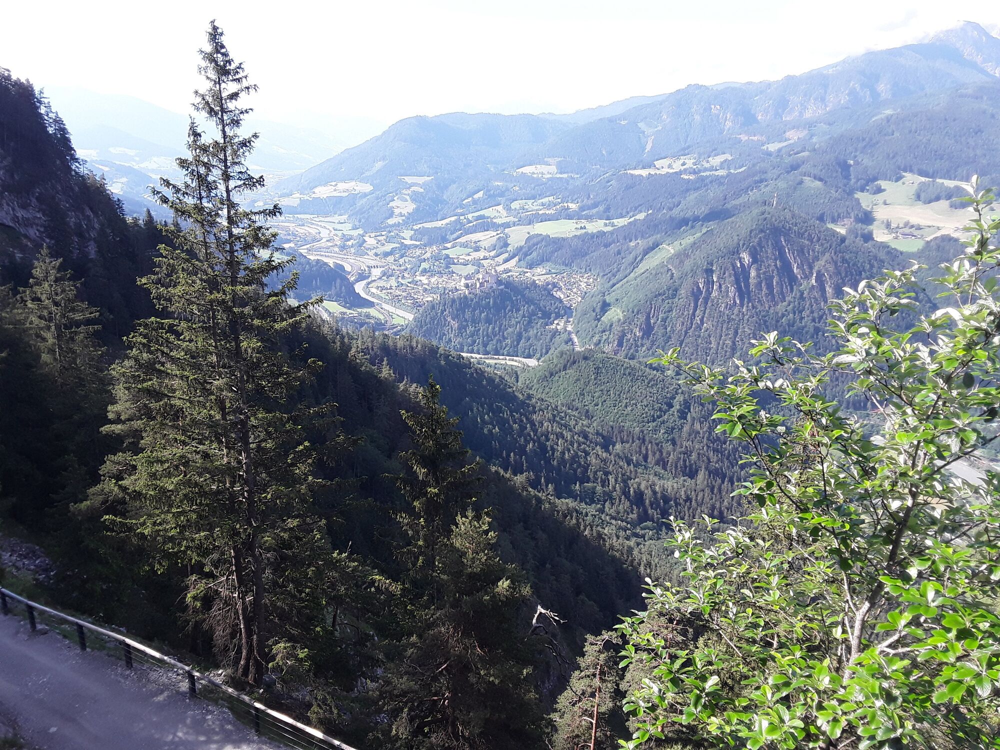
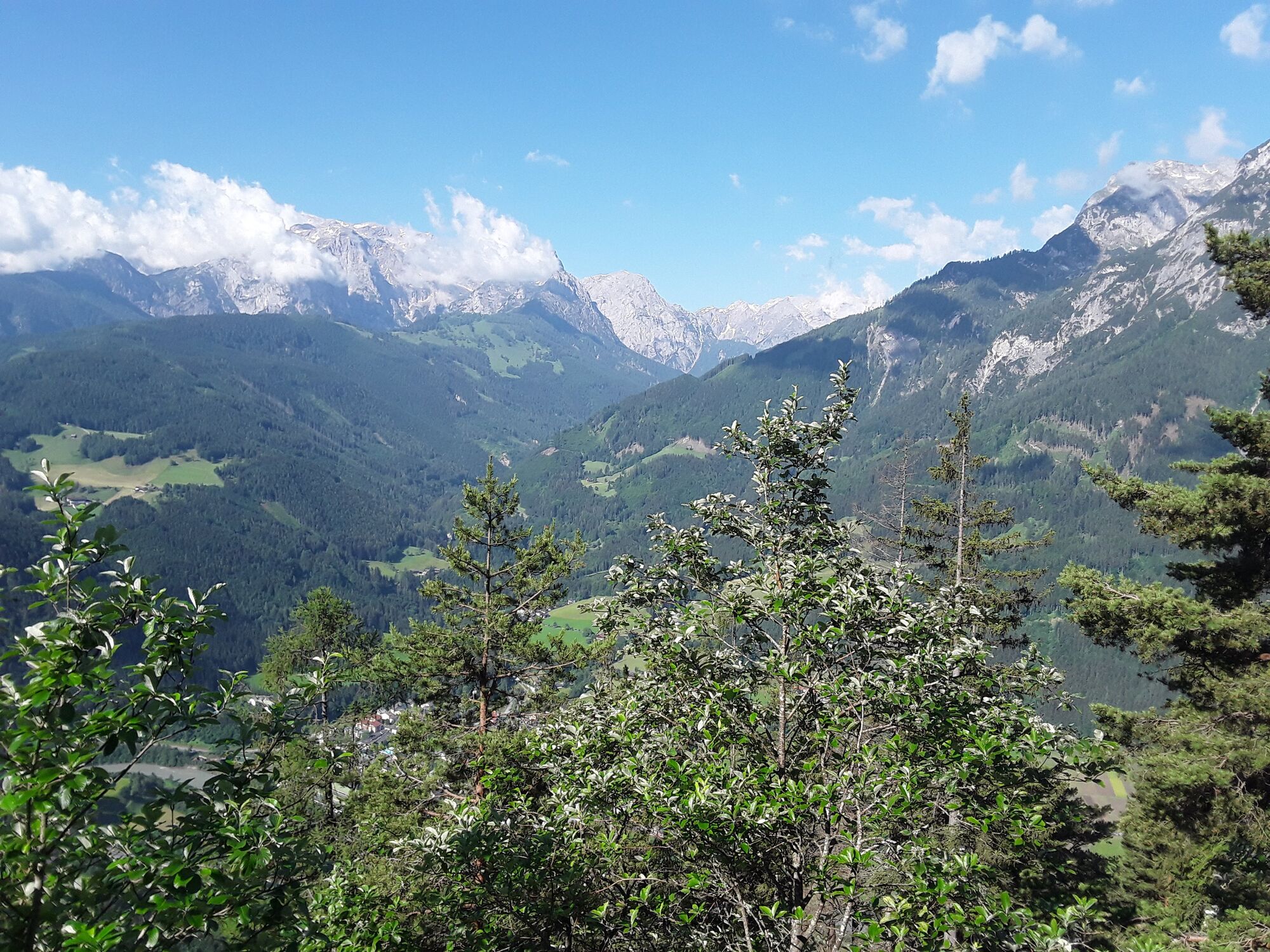
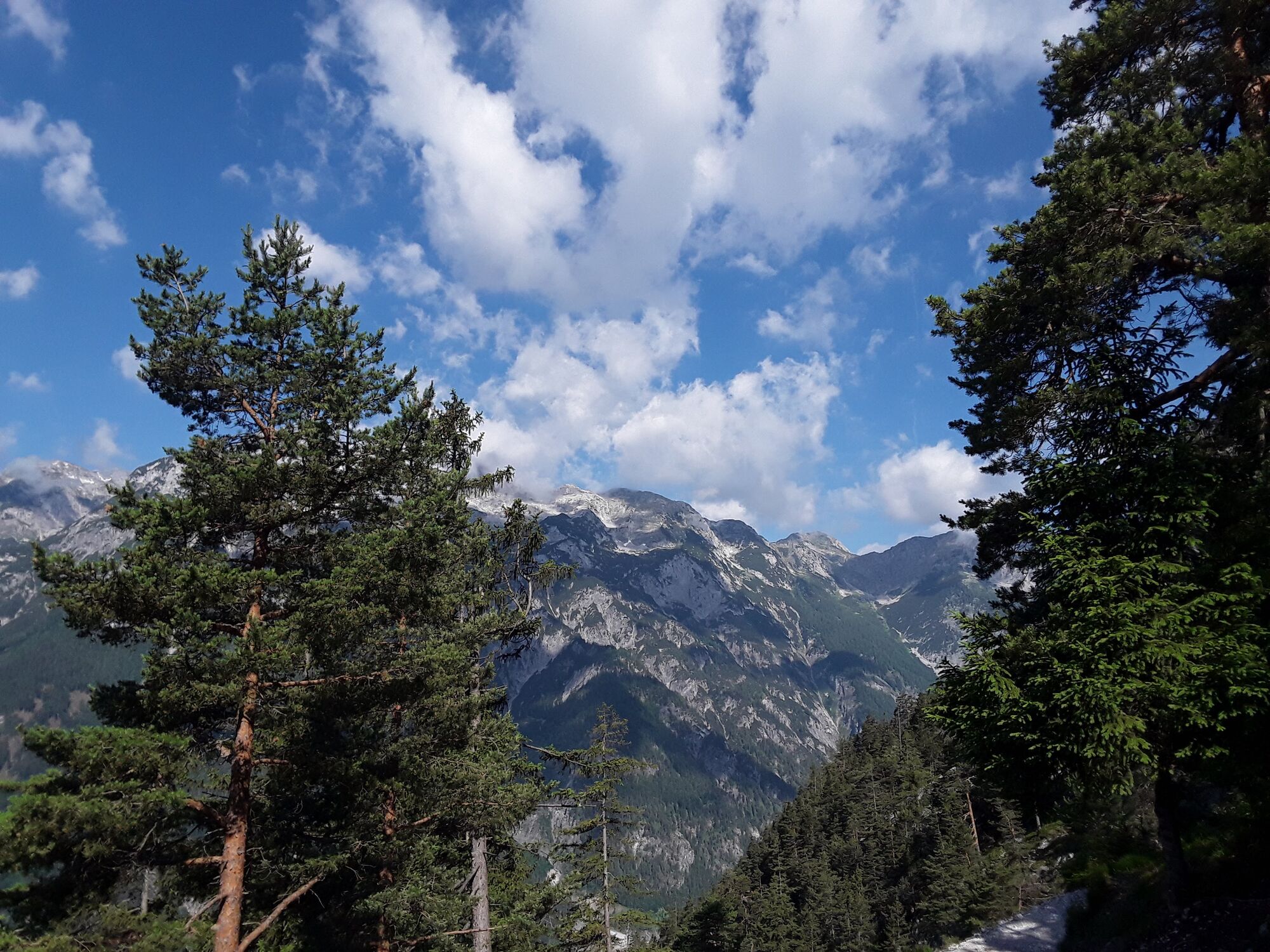
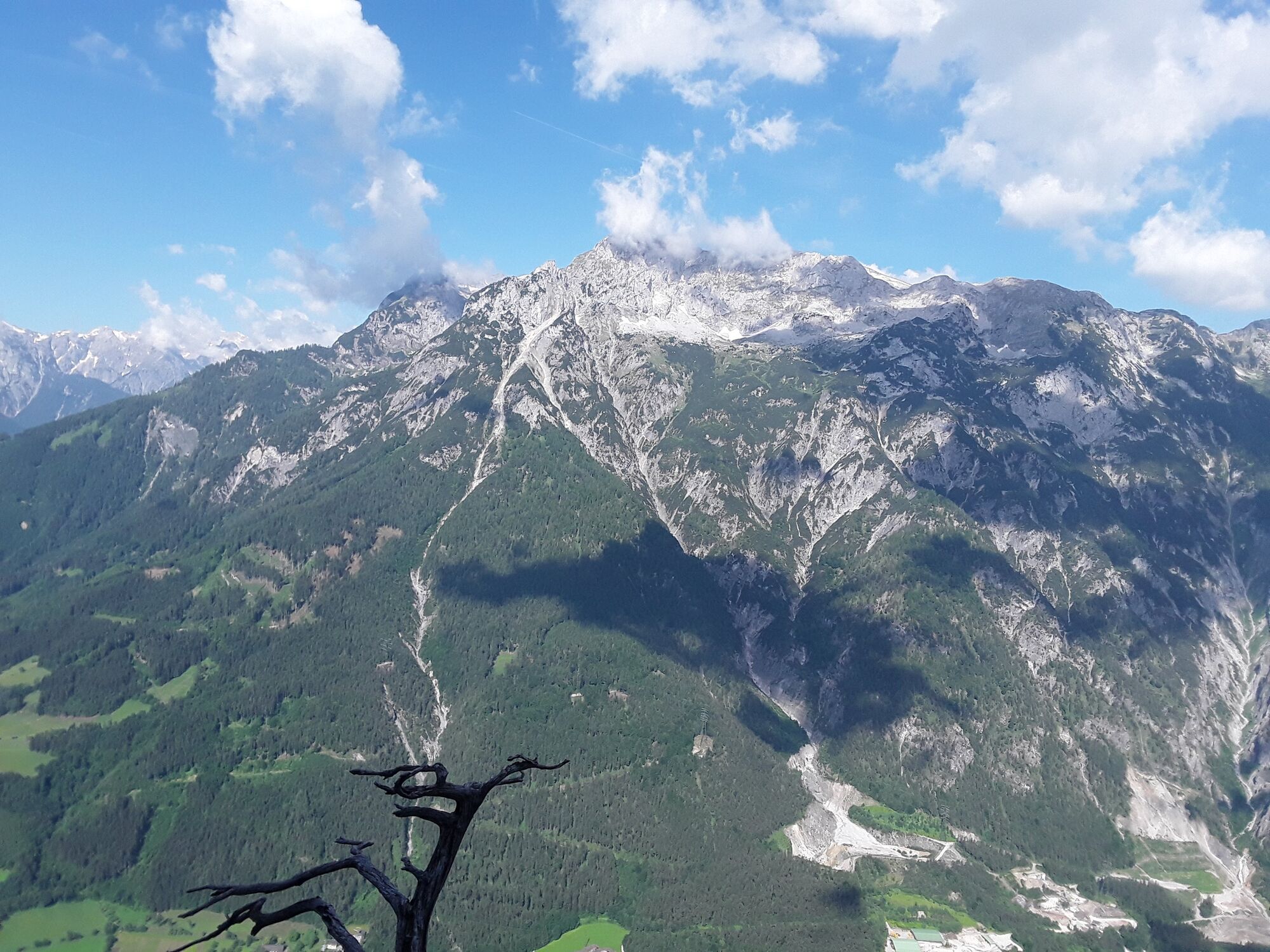
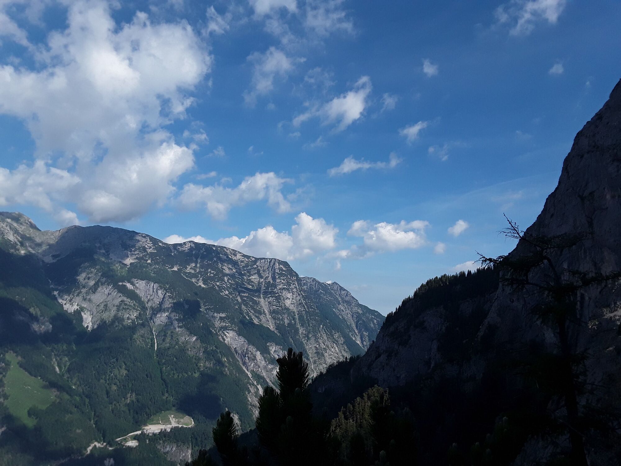
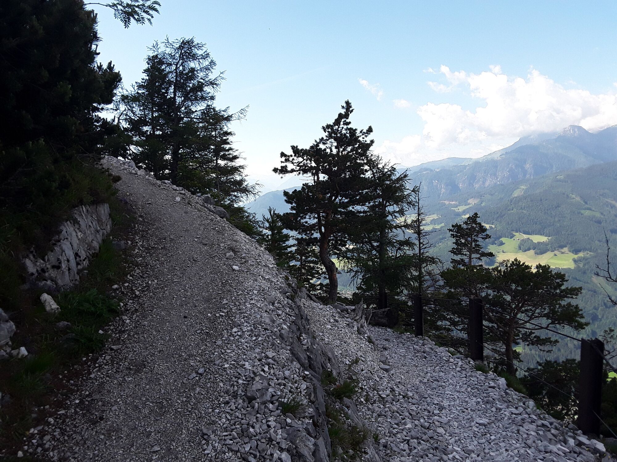
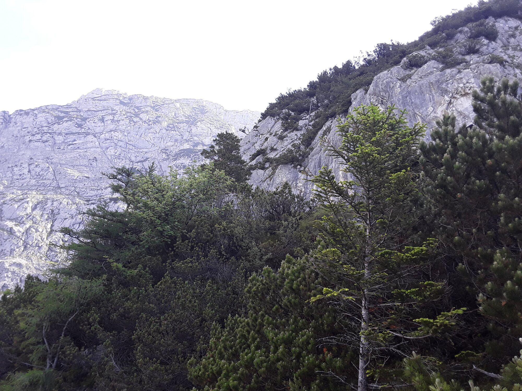
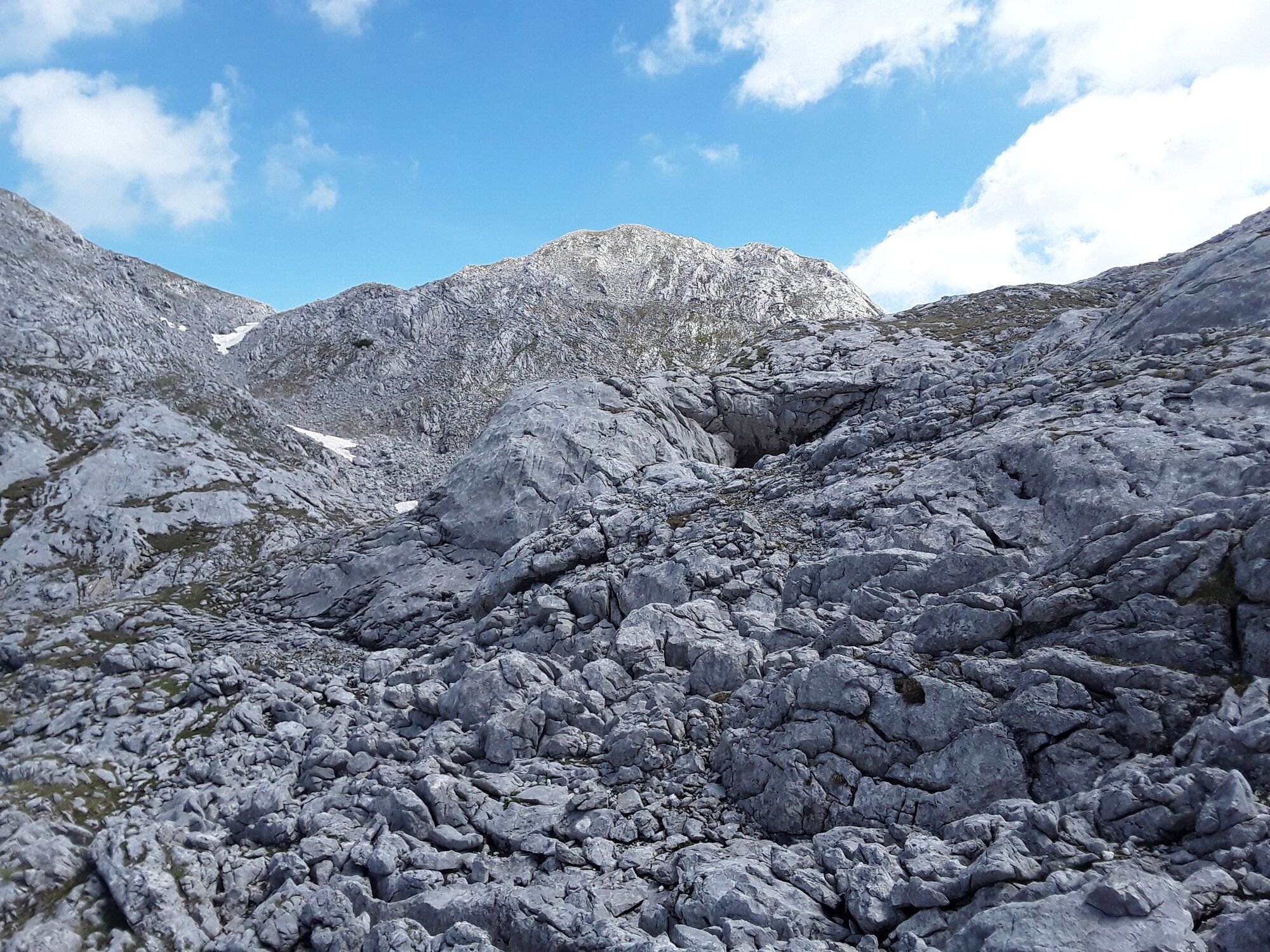
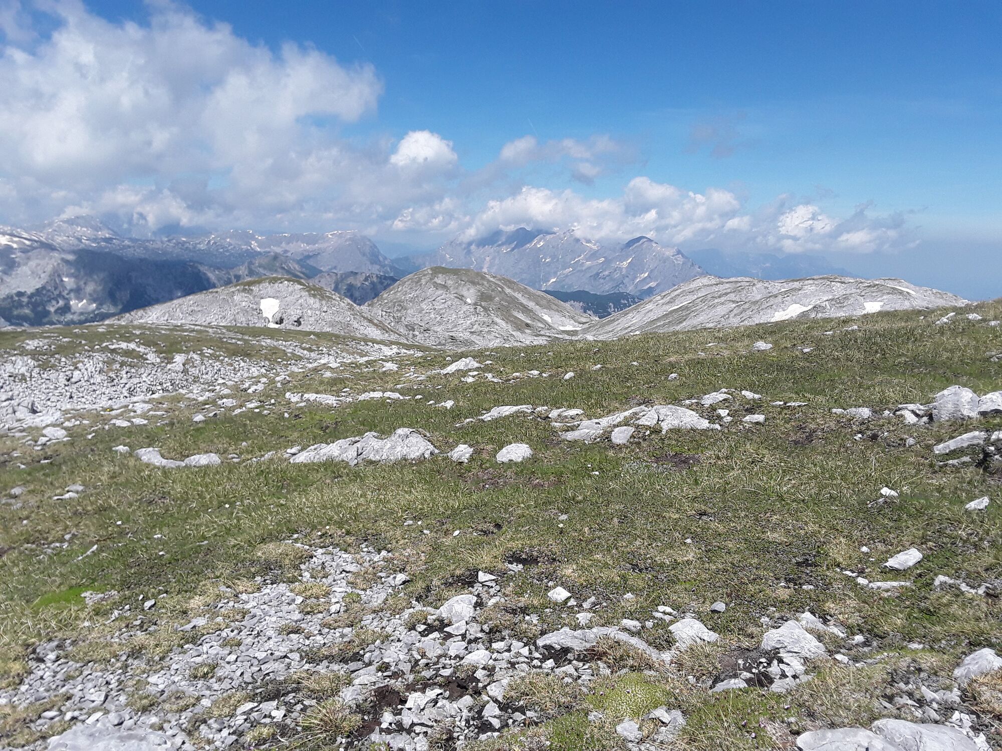
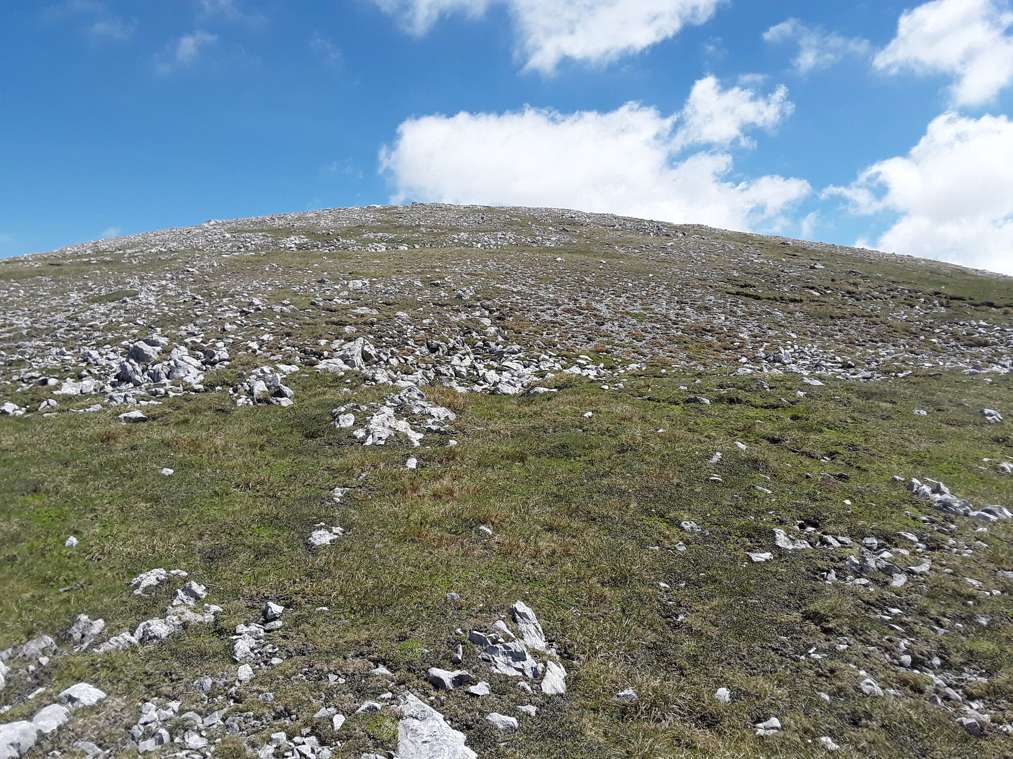
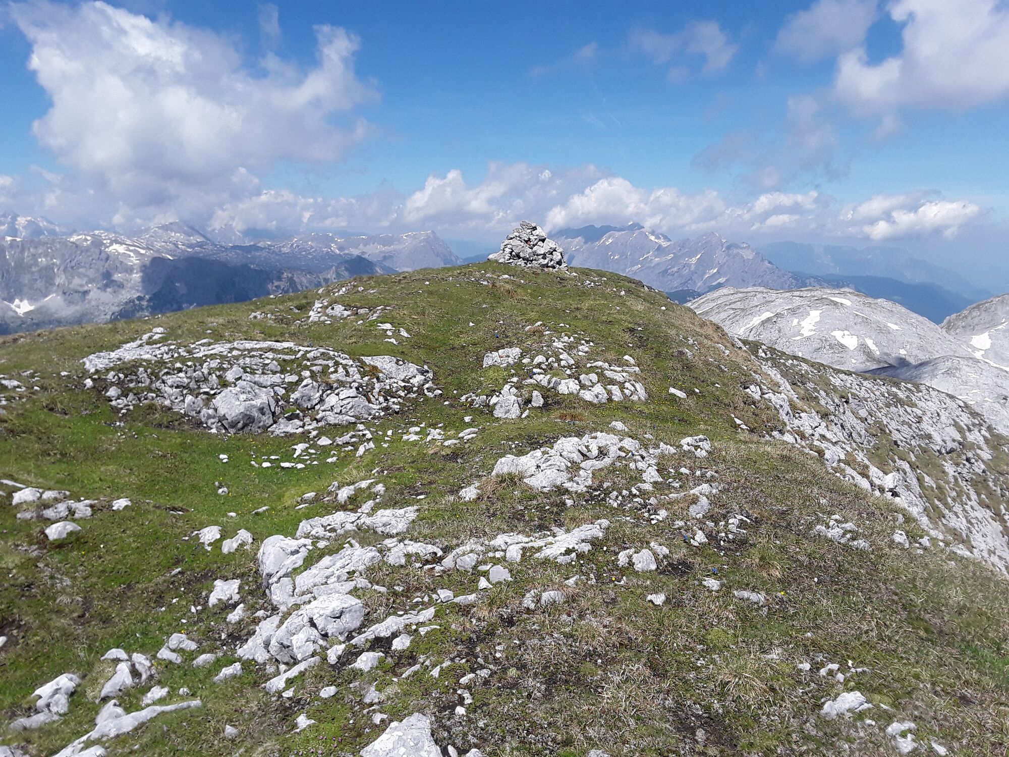
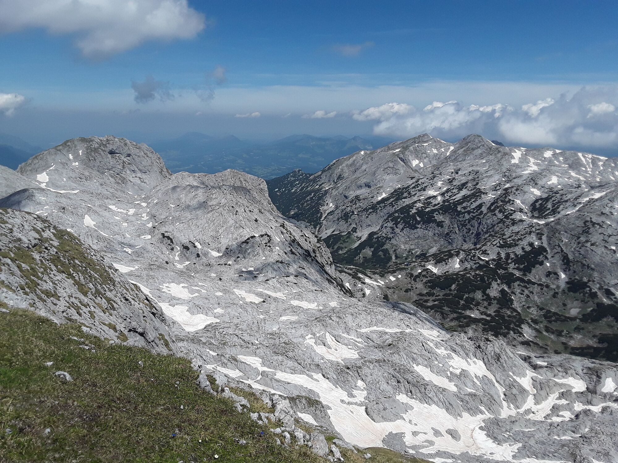
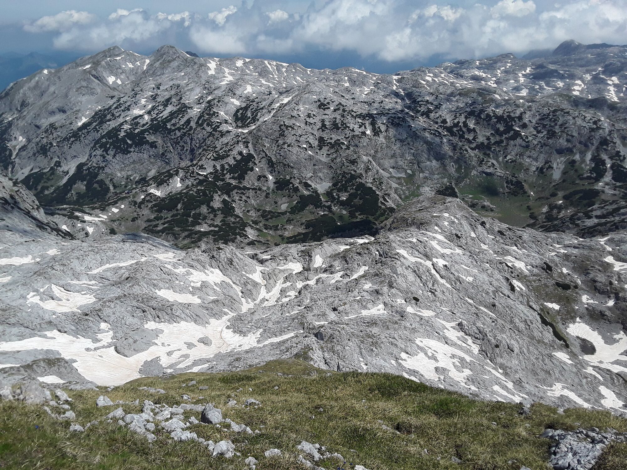
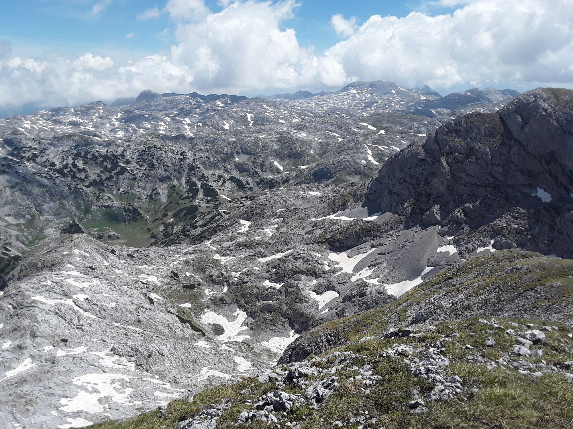
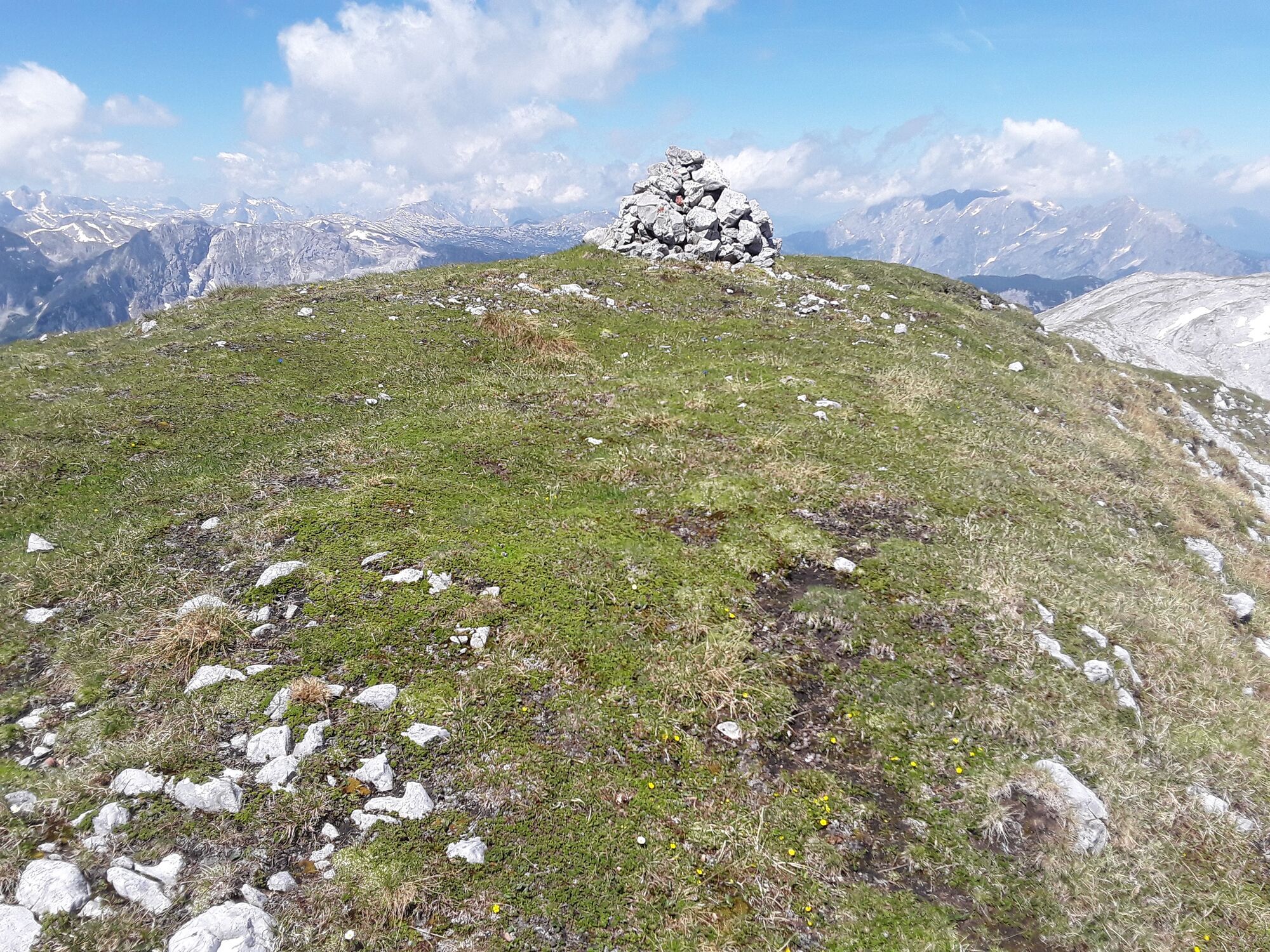
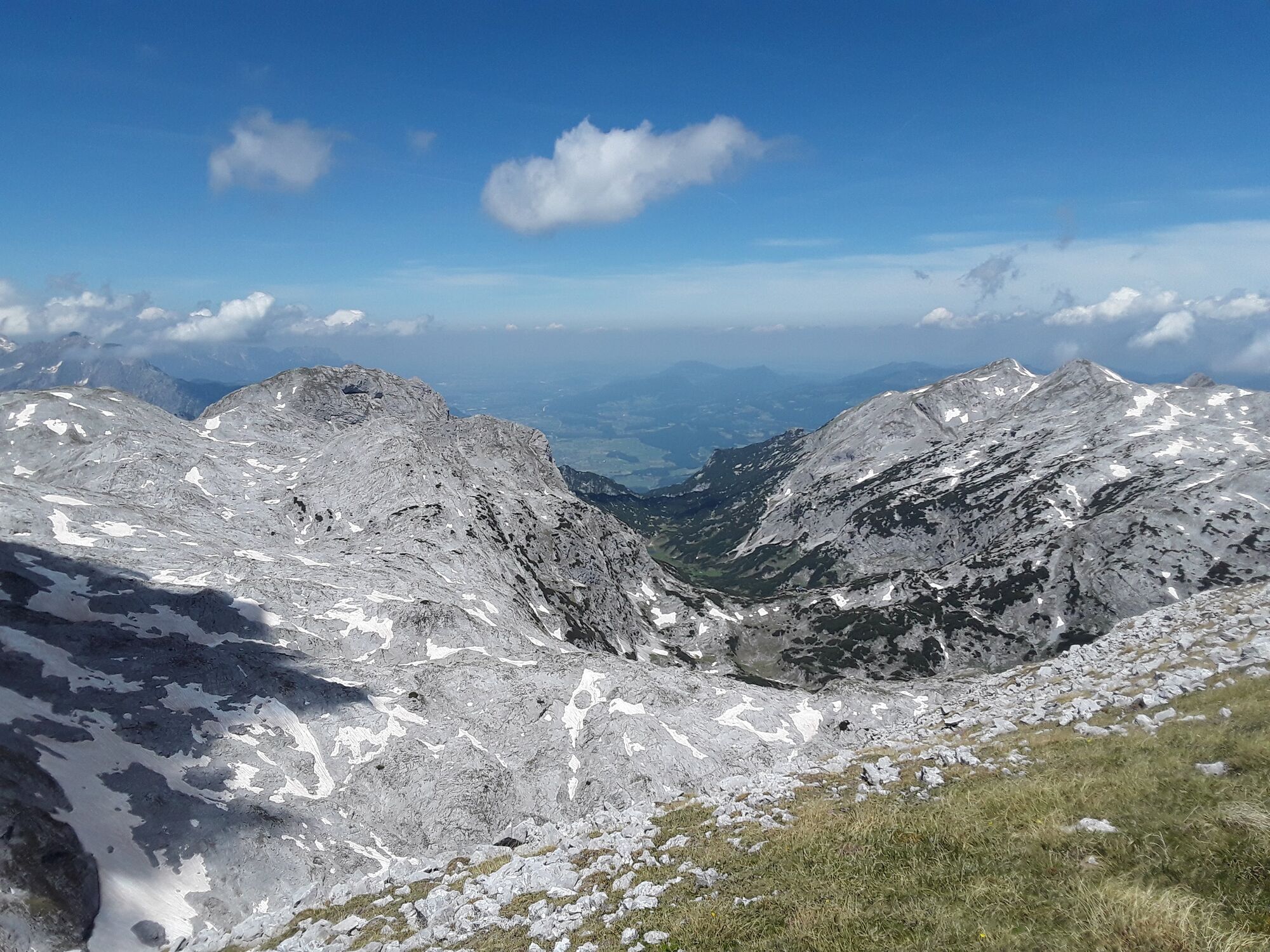
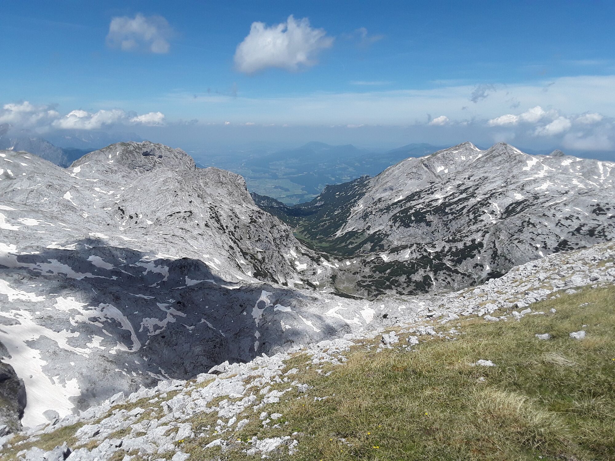
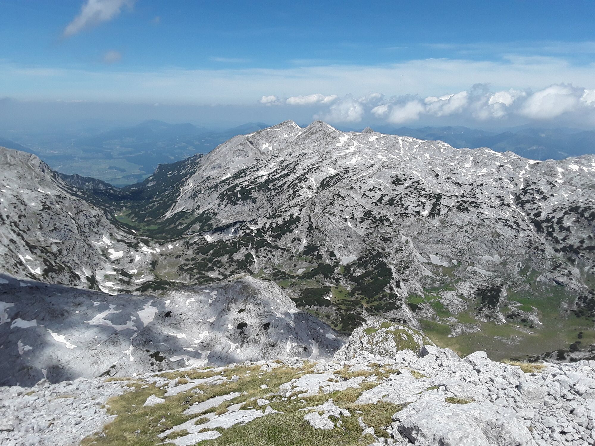
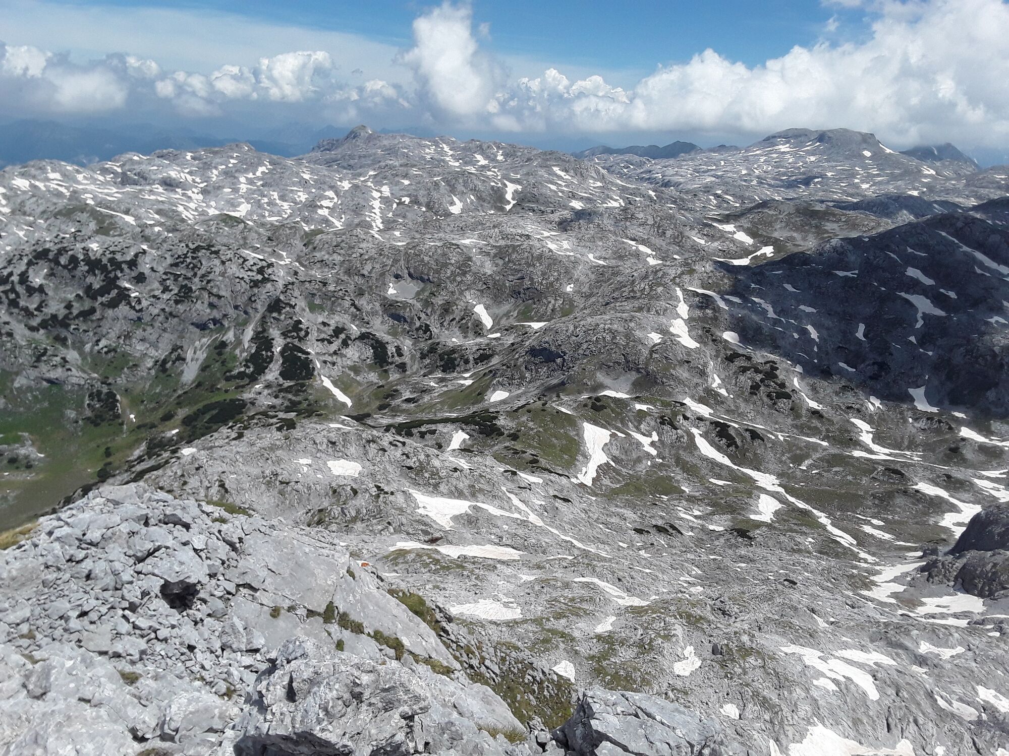
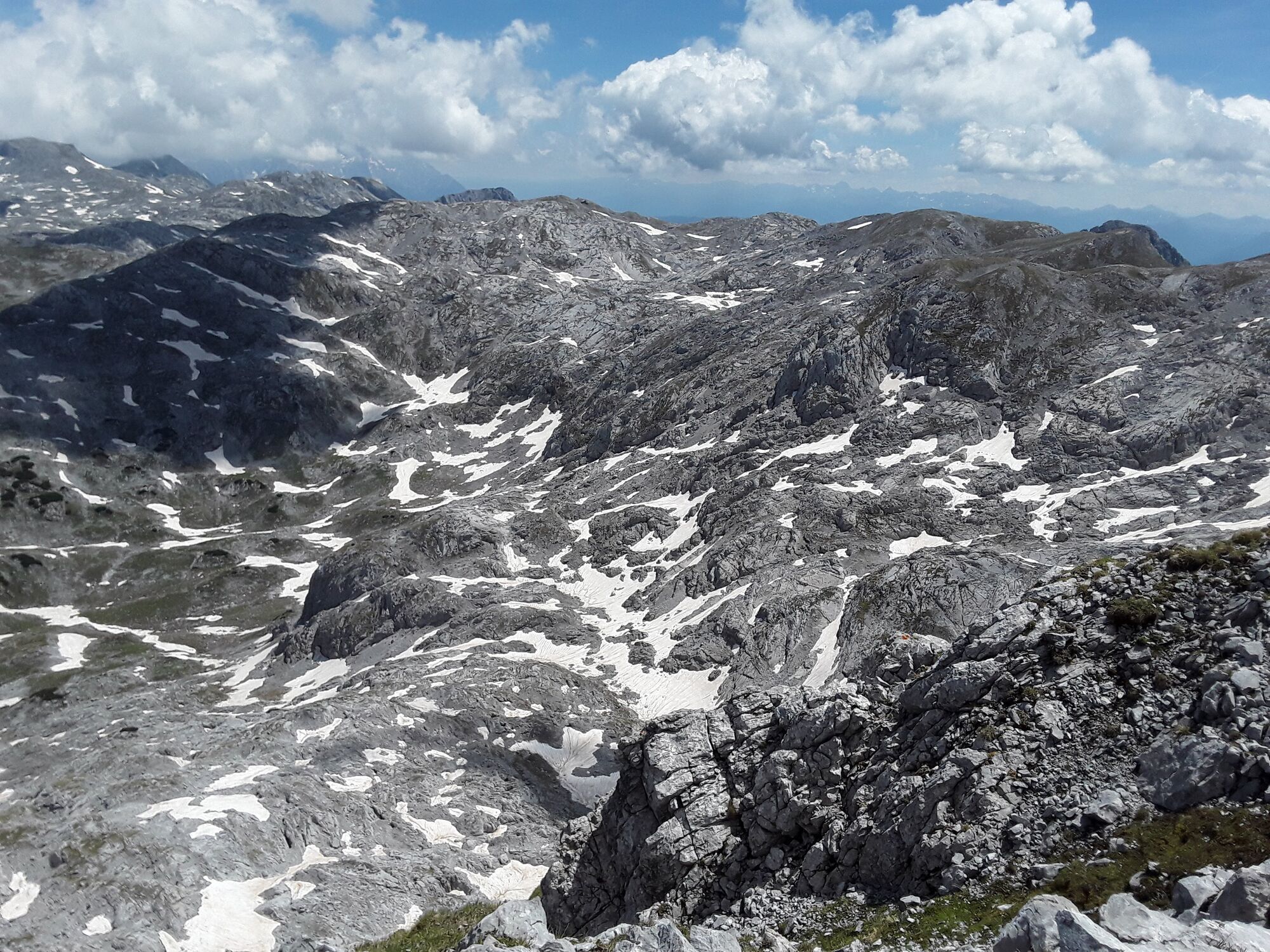
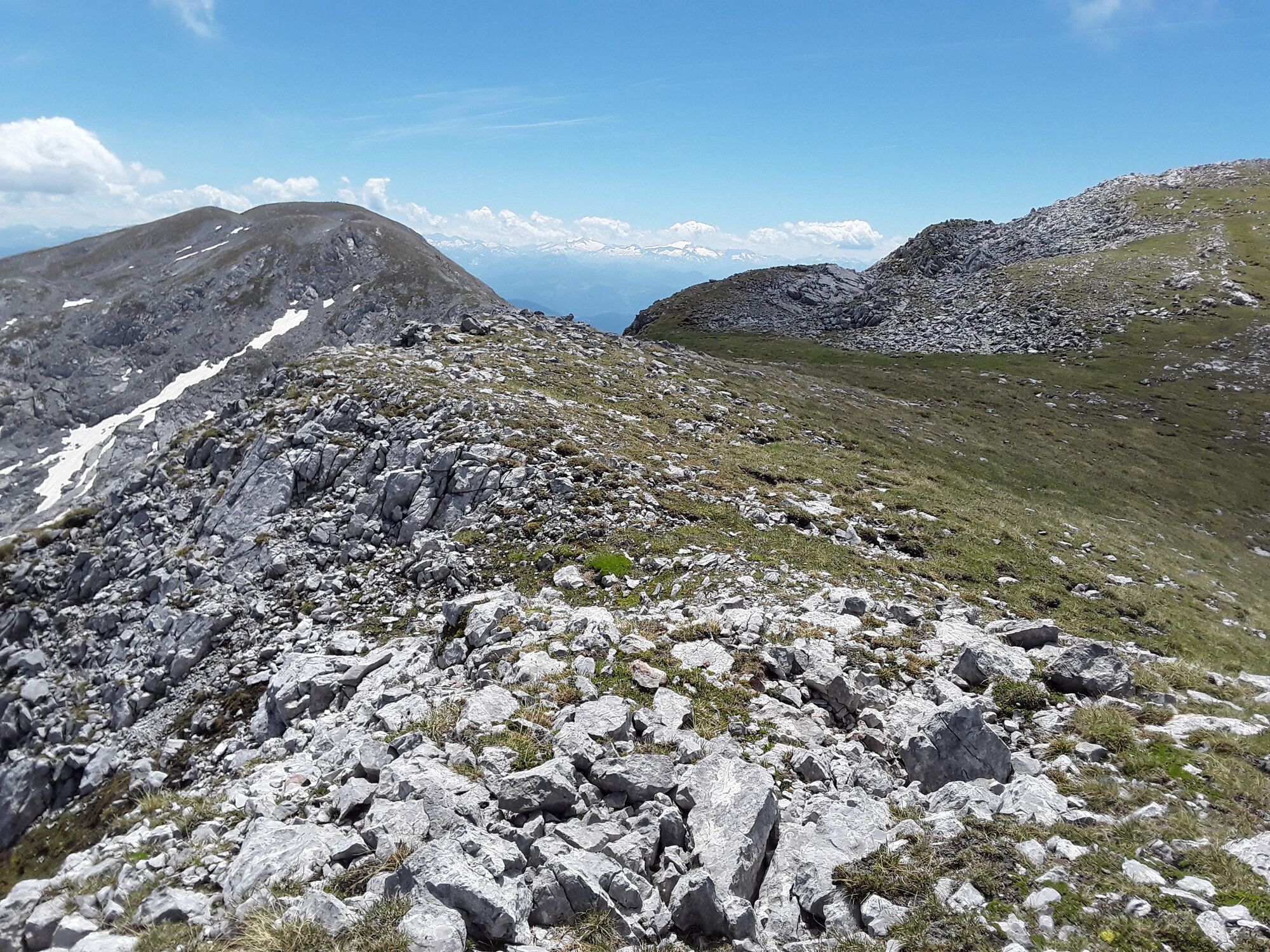
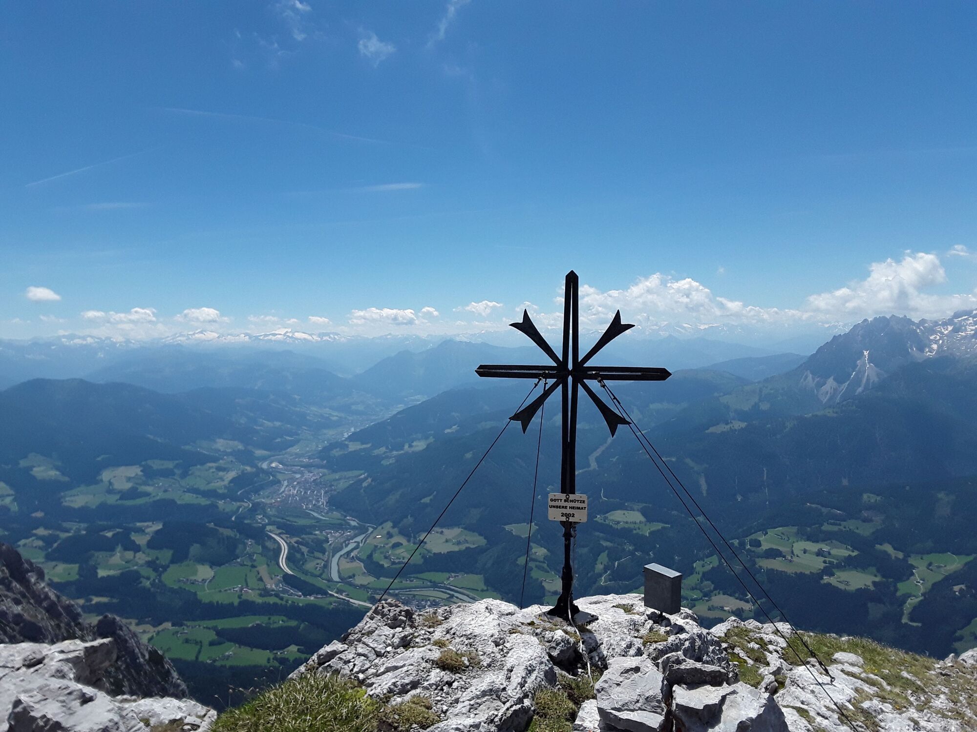
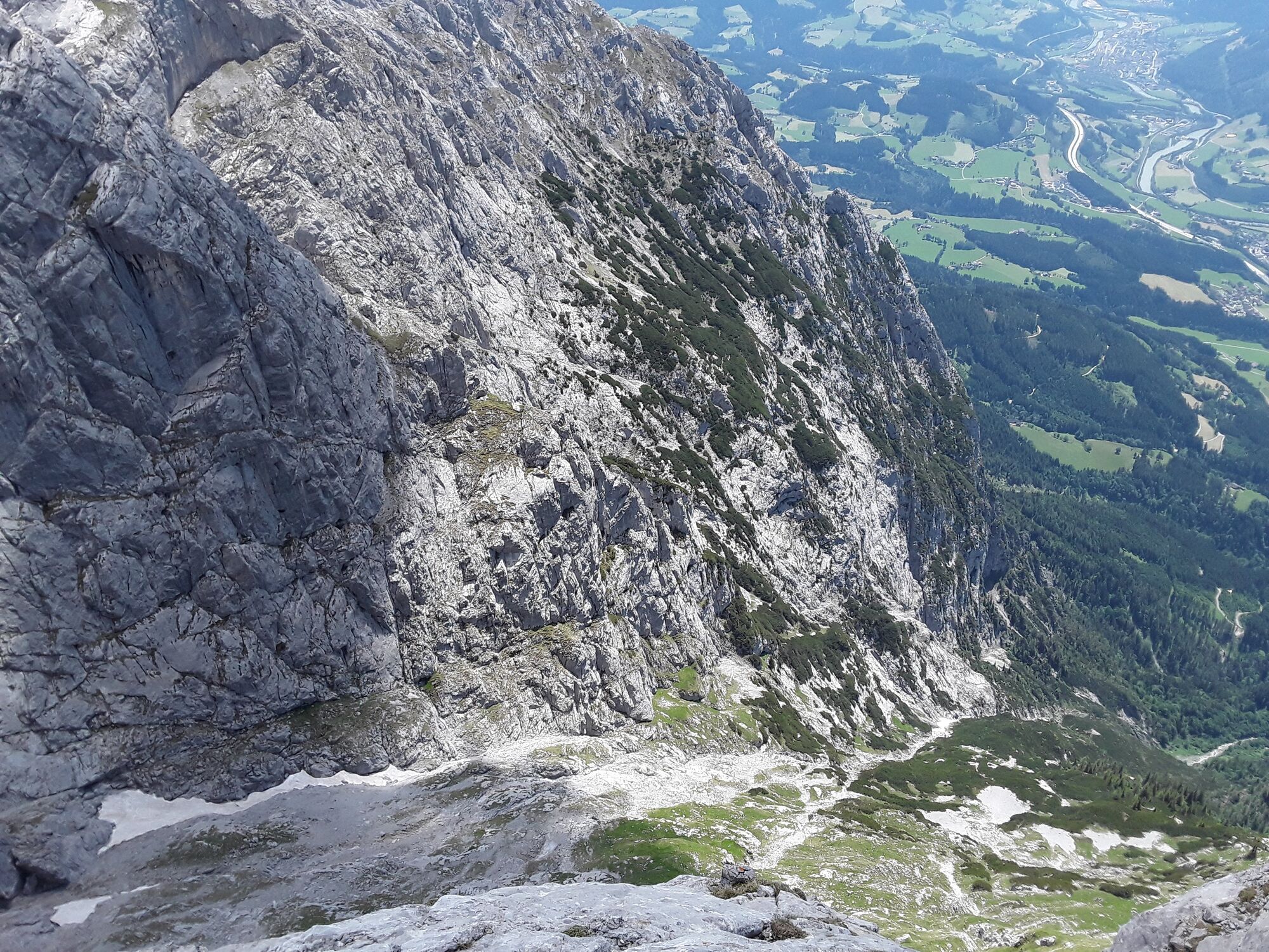
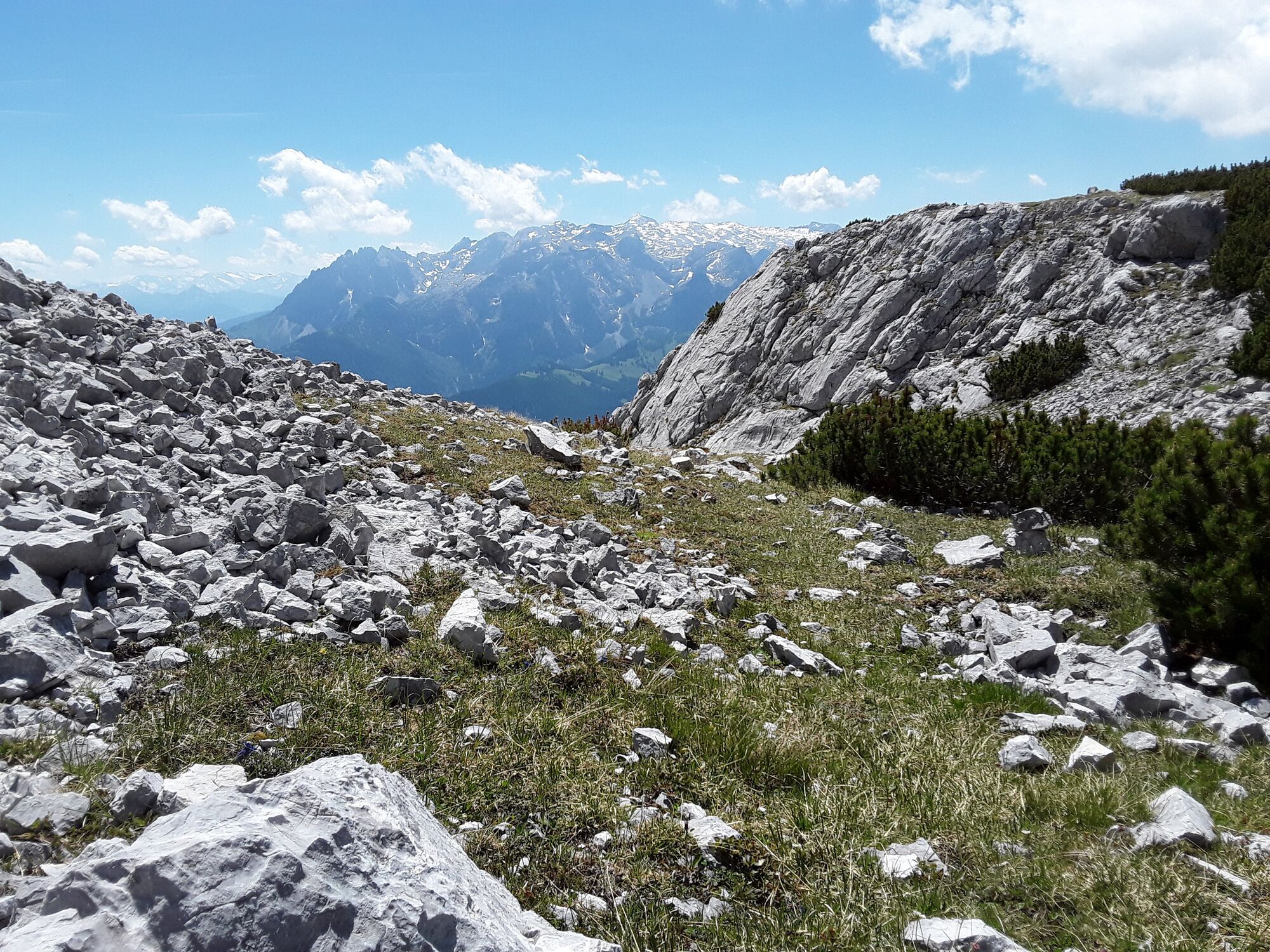
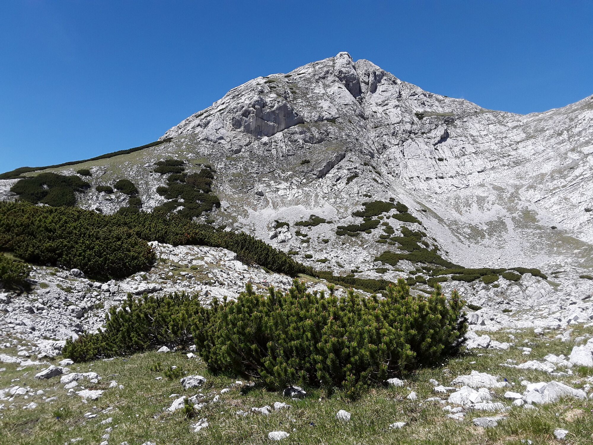
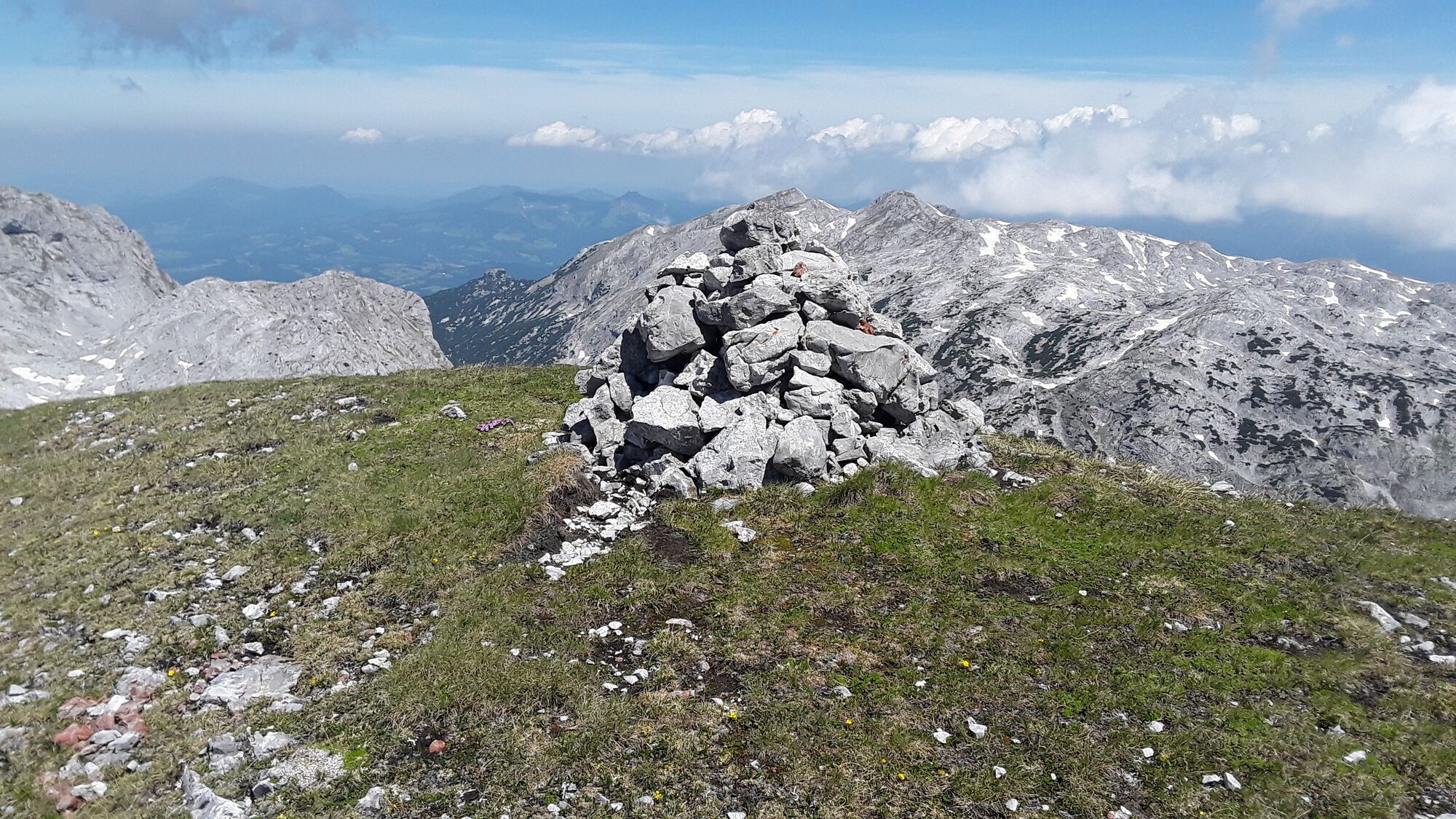
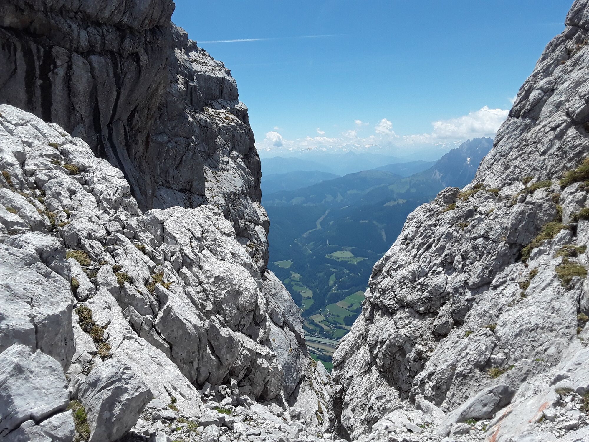
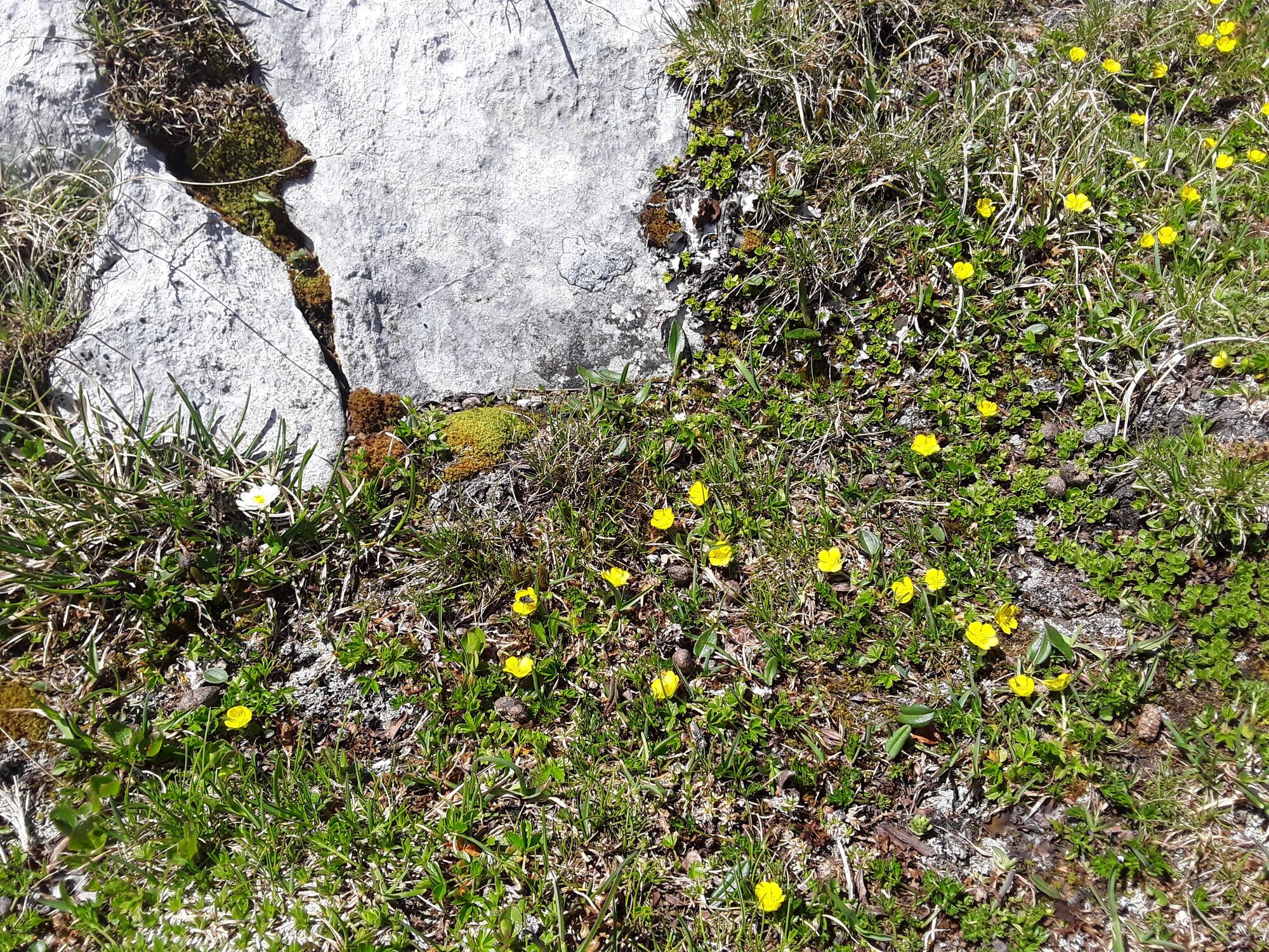
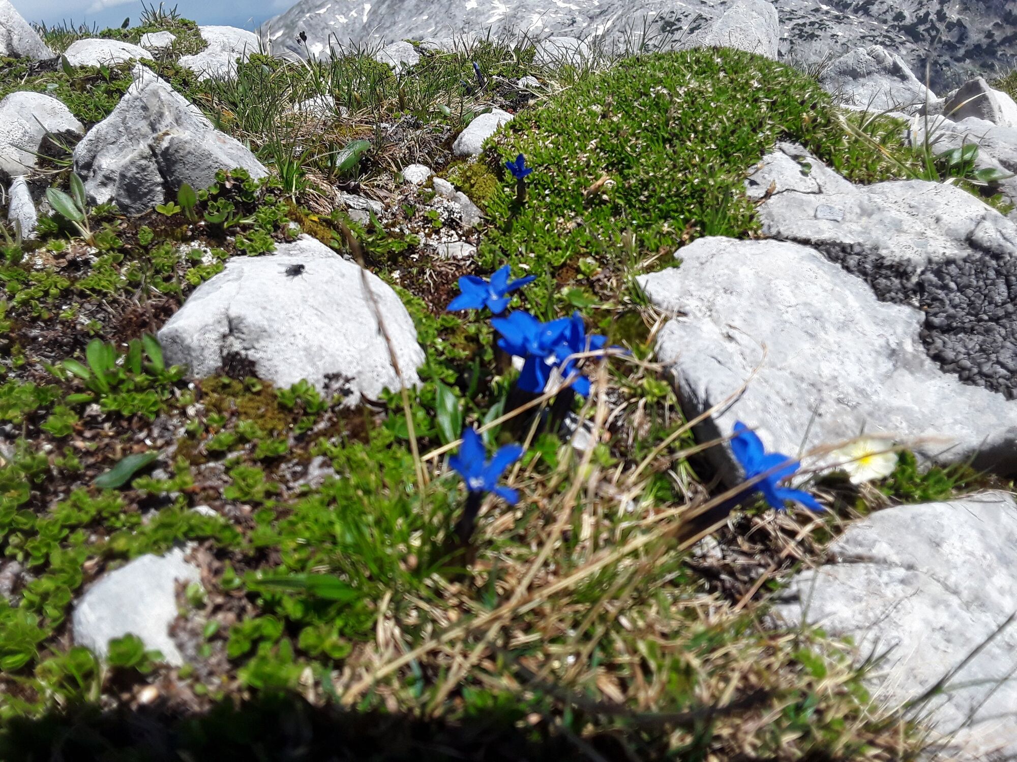
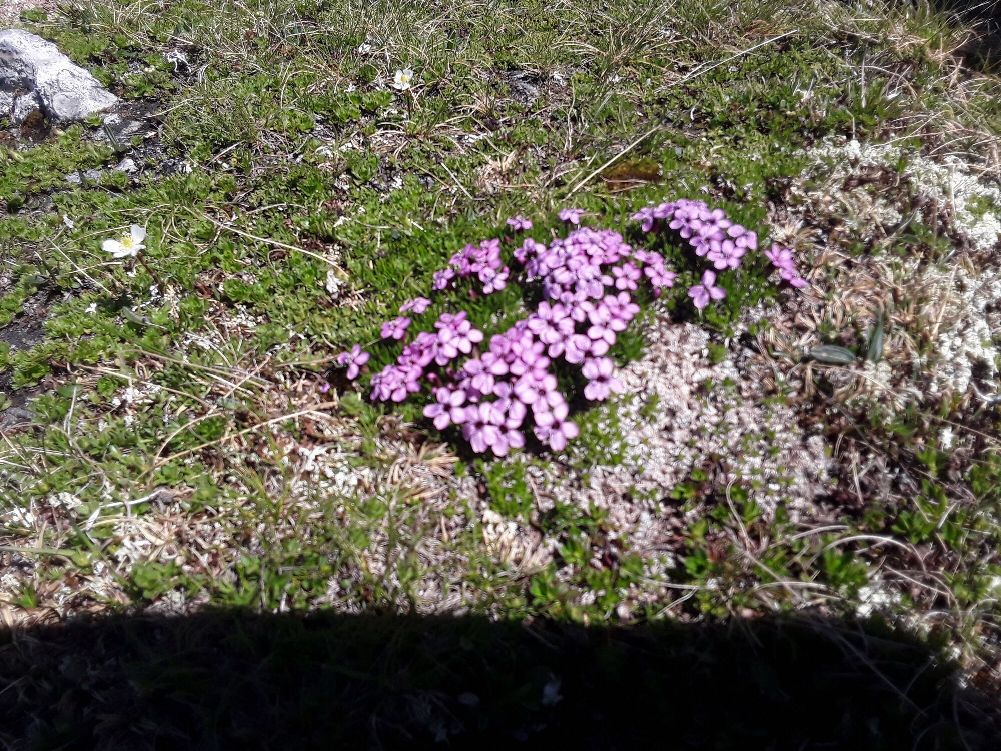
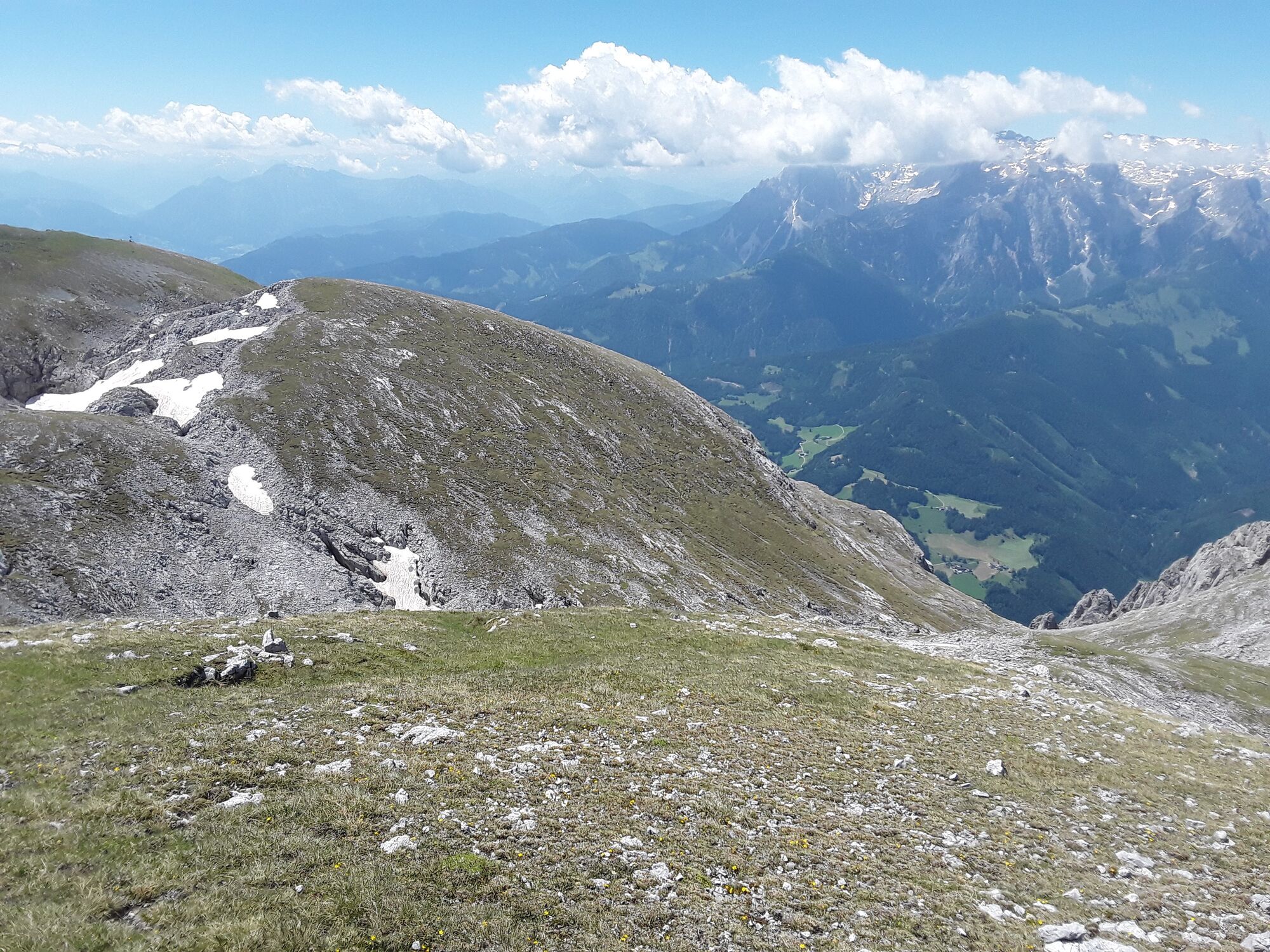
Eisriesenwelt Hochpfeiler
Mountain hiking 5,0
Navigate
Navigate
Get this tour on your mobile
Eisriesenwelt Hochpfeiler
Mountain hiking
15,24
km
Scan the QR code and start navigation in the bergfex app

Hiking & Tracking


Distance
15,24
km
Duration
05:44
h
Ascent
1.446
m
Sea level
989 -
2.417
m
Track download
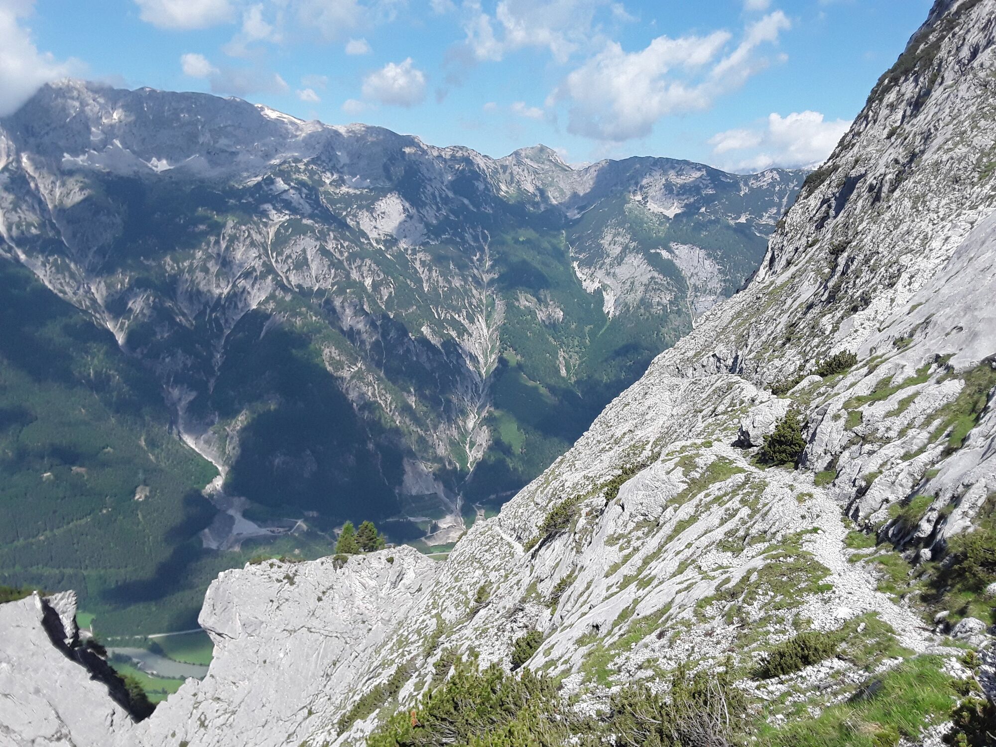
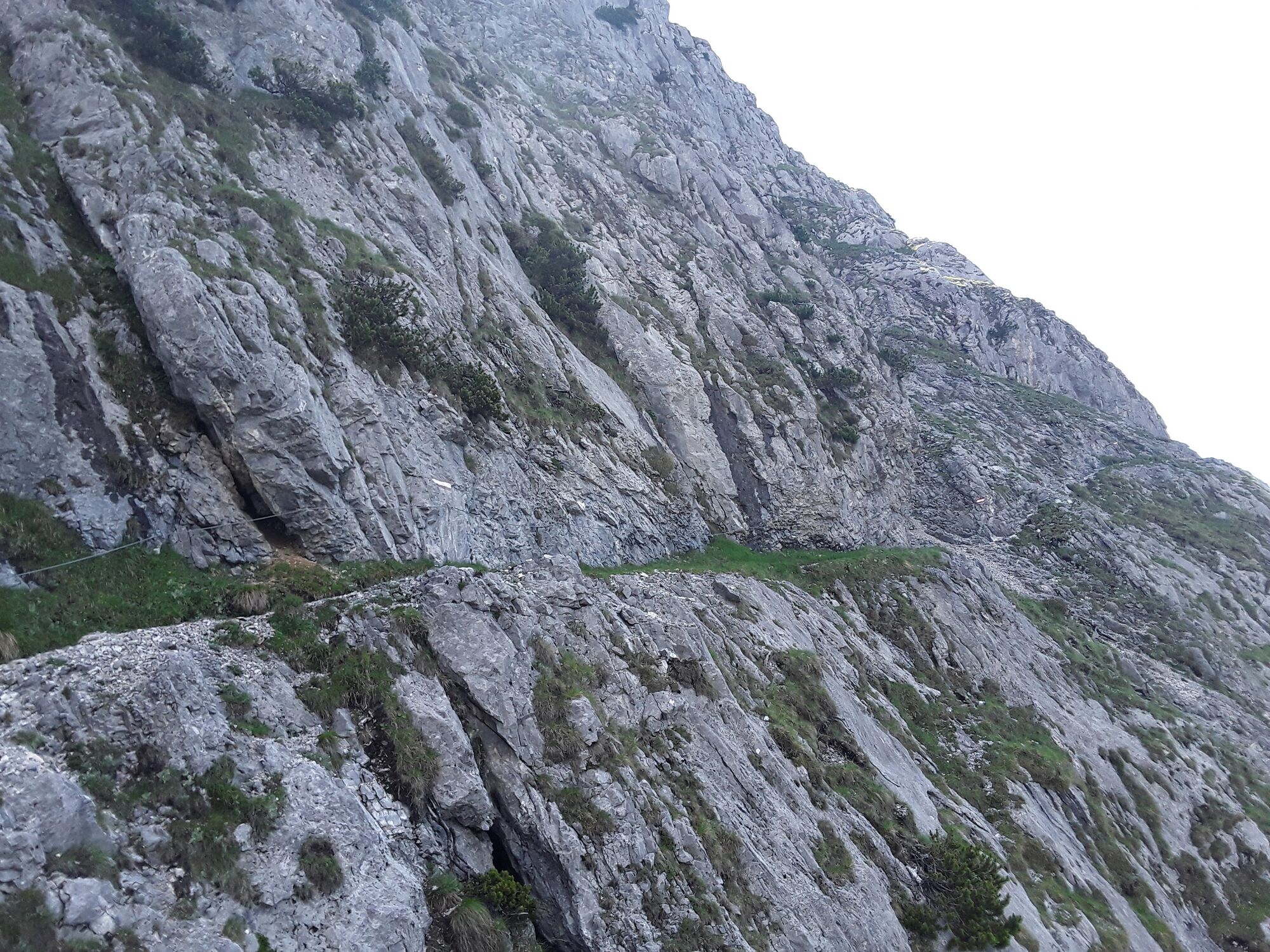
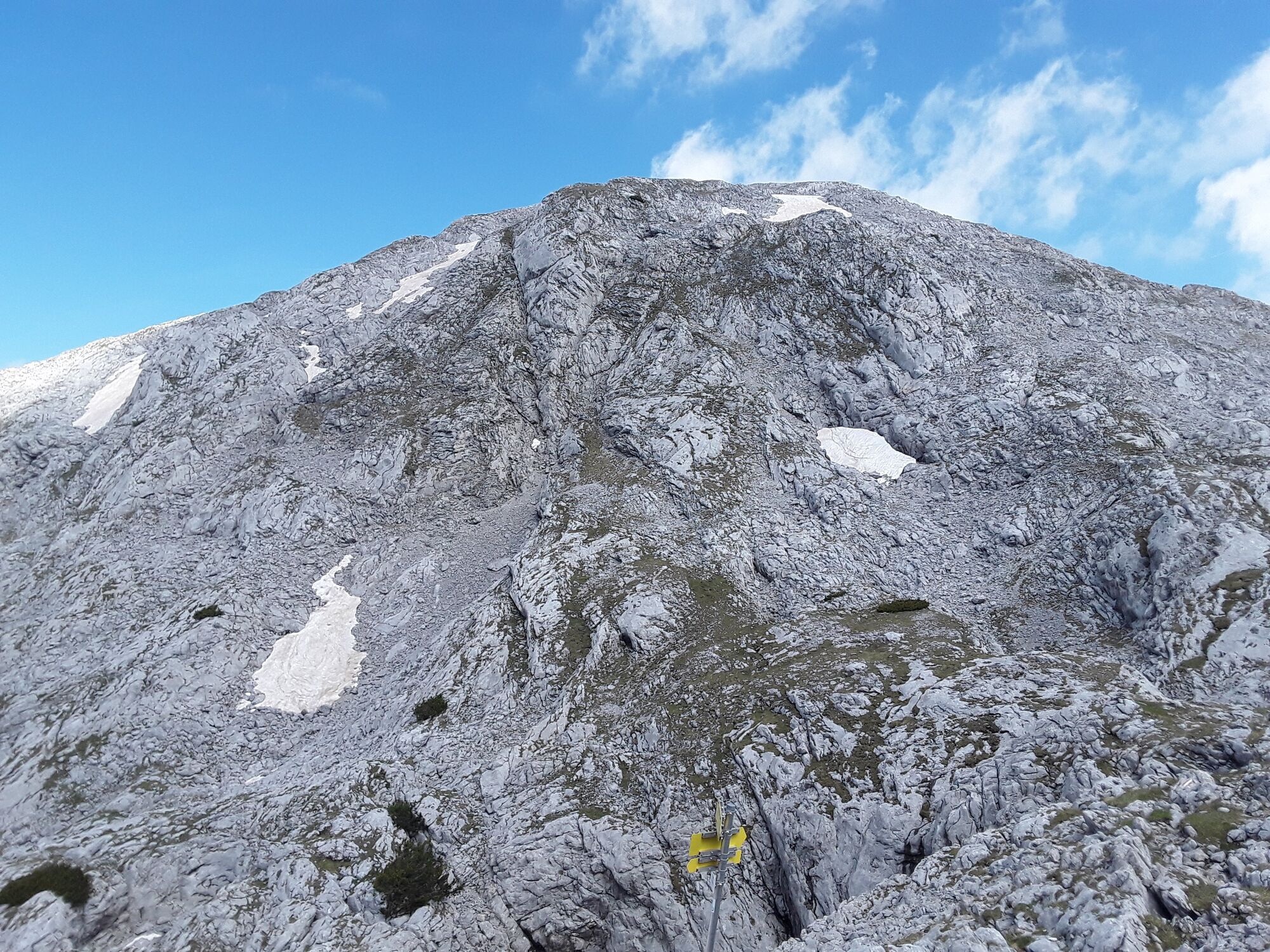
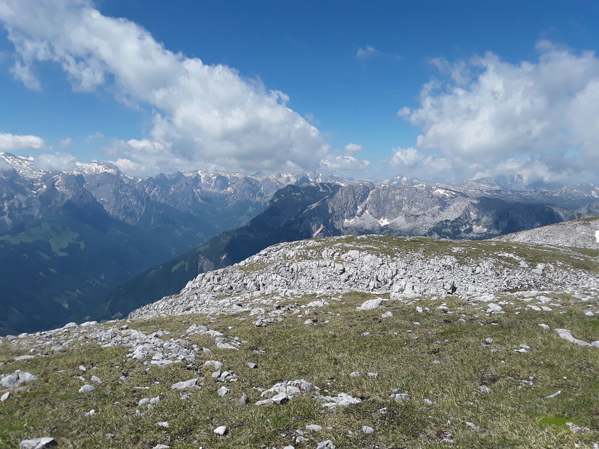
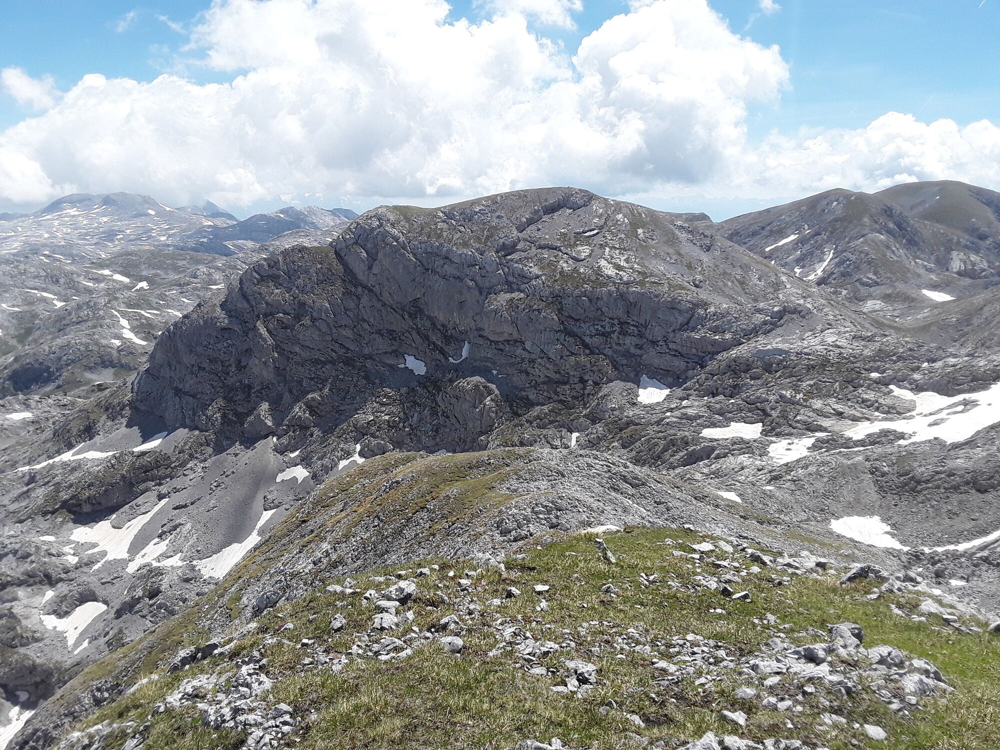
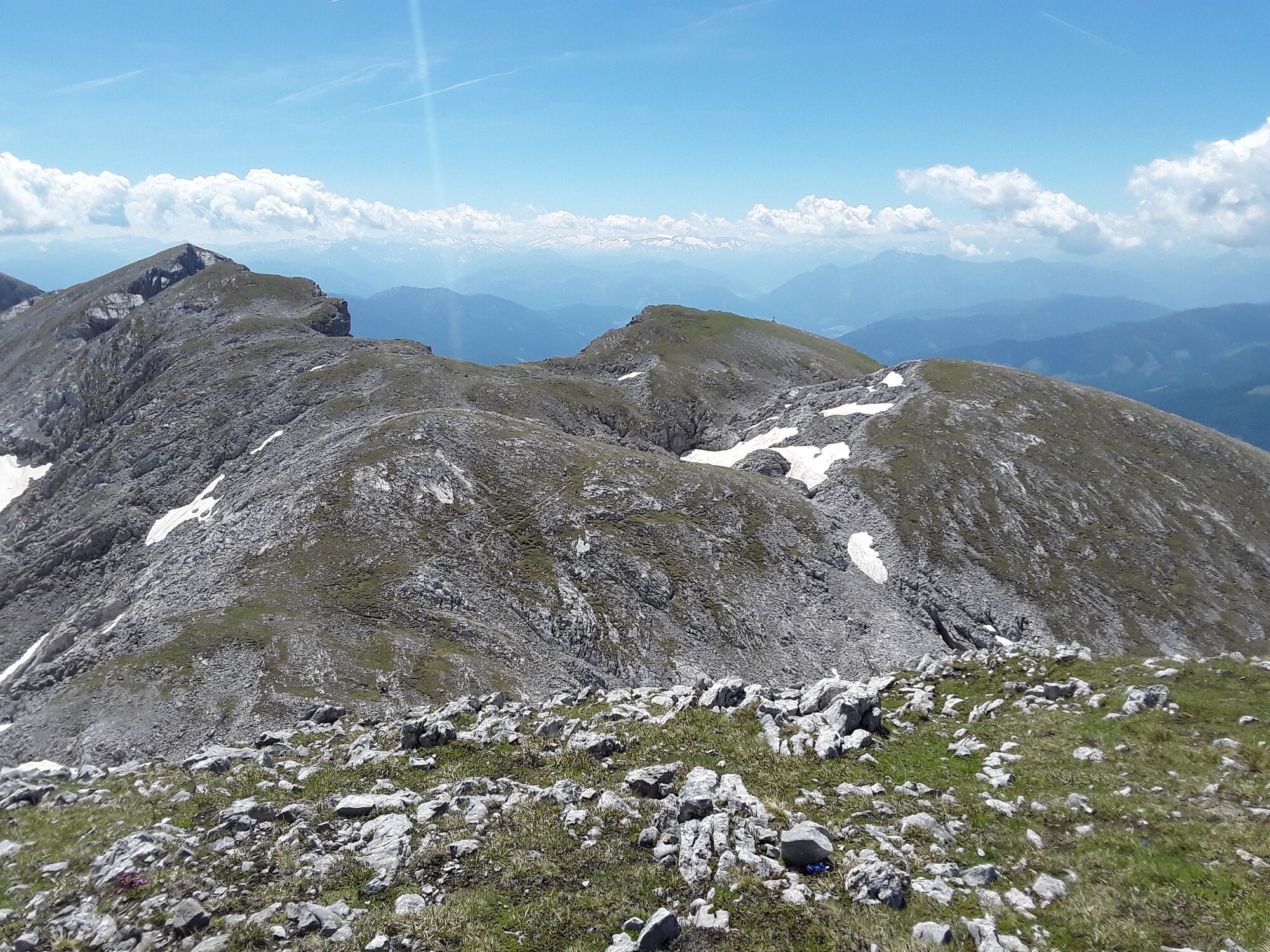
Eisriesenwelt Hochpfeiler
Mountain hiking
15,24
km


Route
Yggdrasil
(989 m)
Restaurant
0,0 km
Wimmerhütte
(1.079 m)
Restaurant
0,9 km
Achselkopf
(1.658 m)
Summit
4,0 km
Hühnerkrallkopf
(2.401 m)
Summit
6,3 km
Hochpfeiler
(2.410 m)
Summit
7,8 km
Schafbergspitz
(2.360 m)
Summit
8,9 km
Wimmerhütte
(1.079 m)
Restaurant
14,3 km
Route
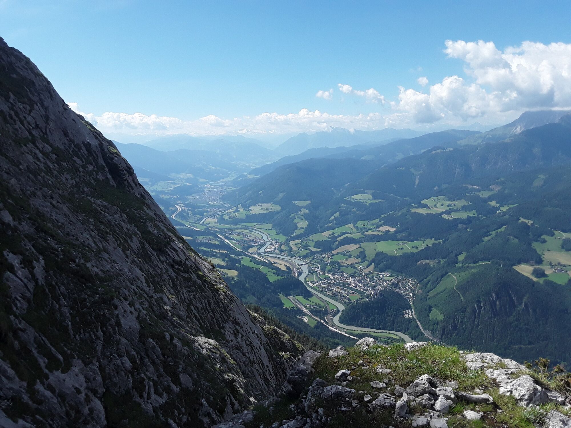
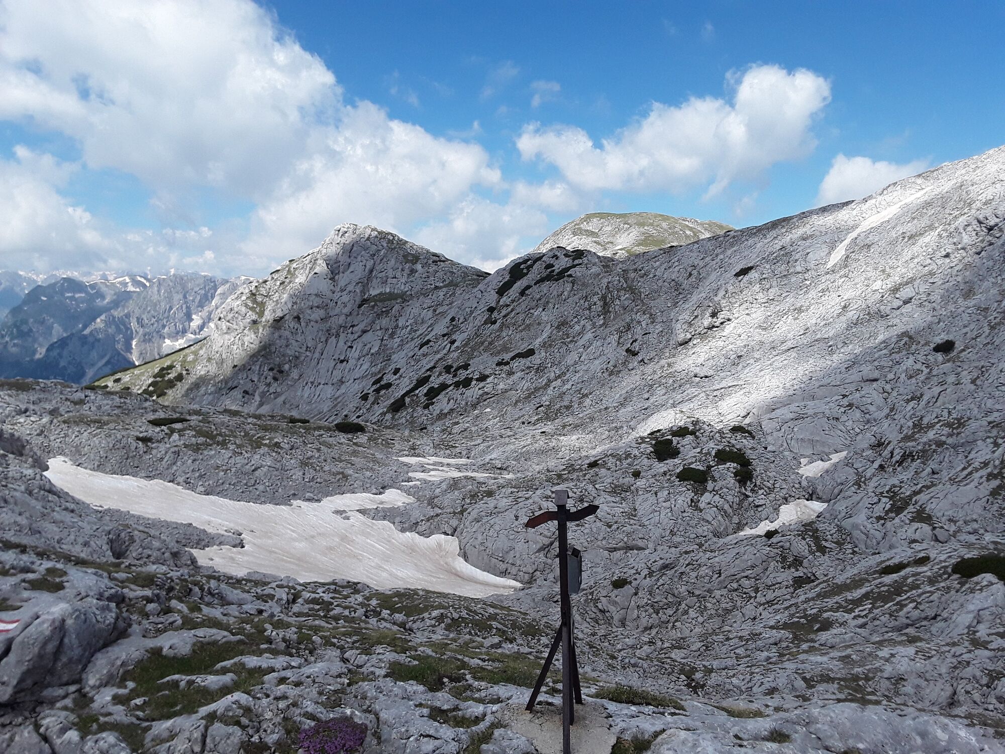
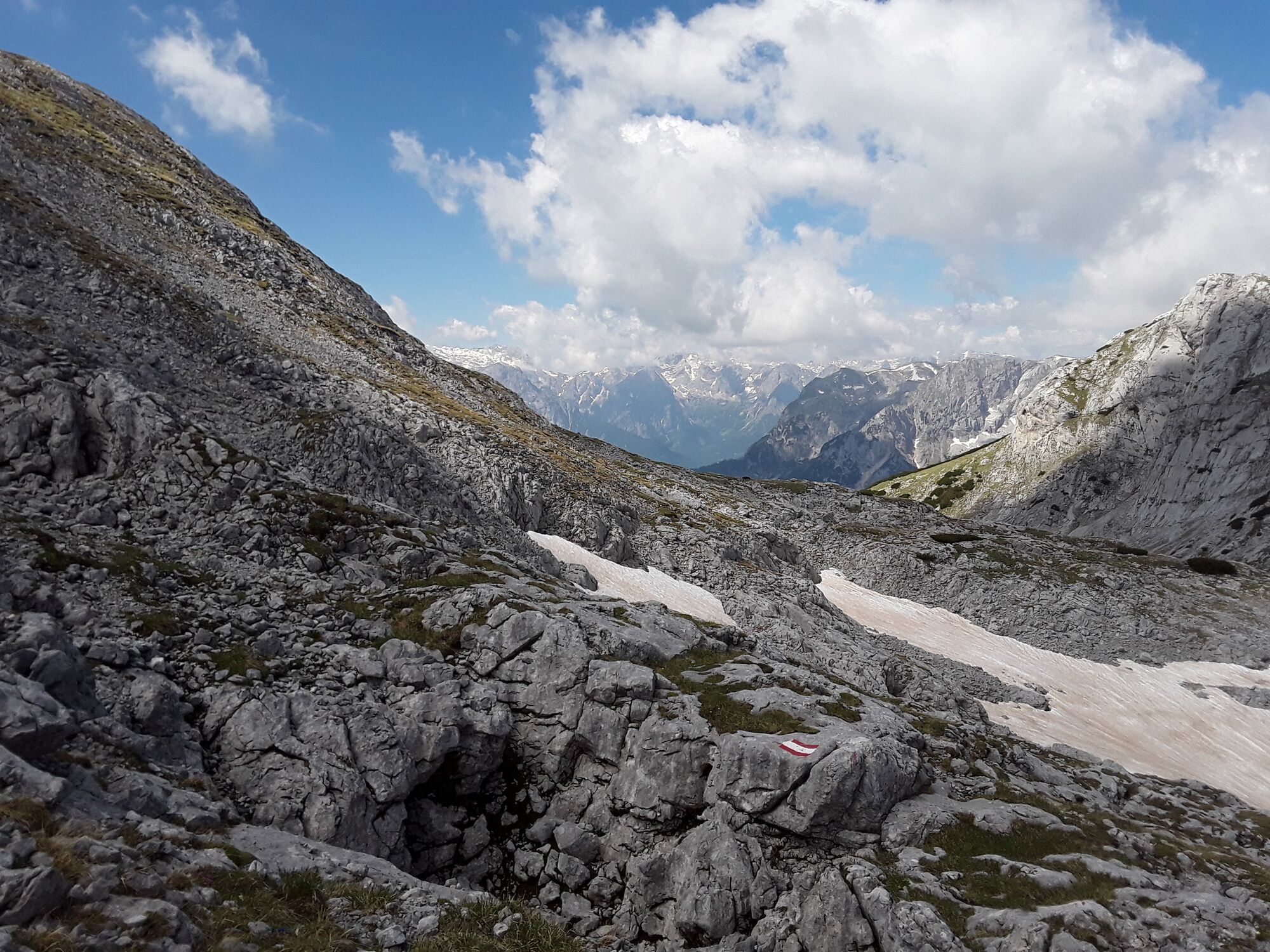
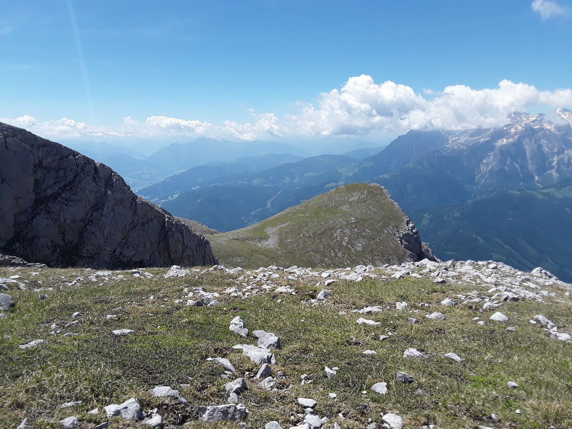
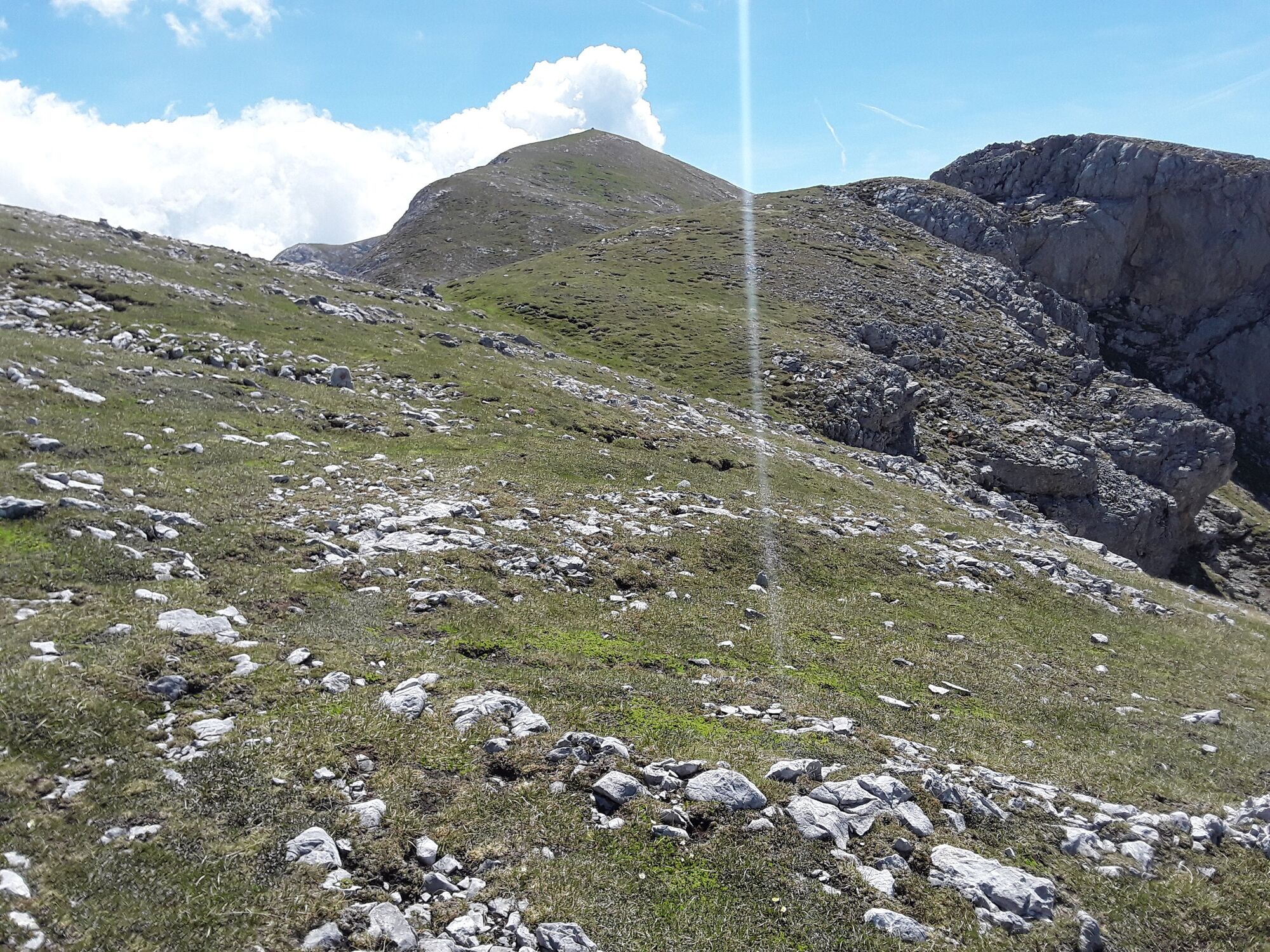
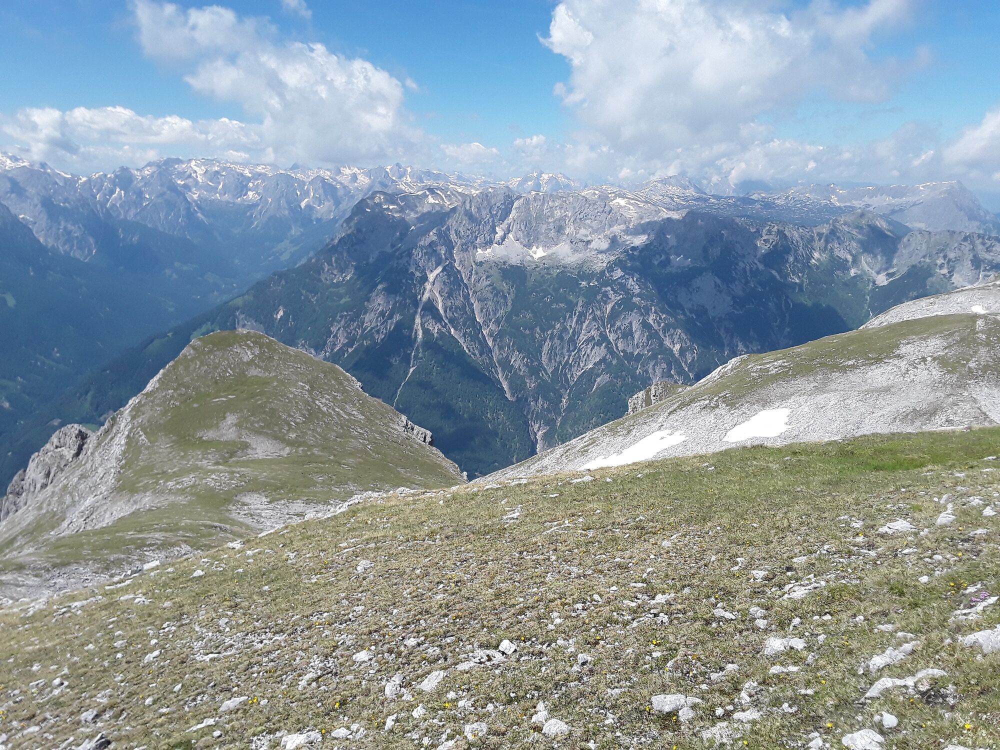
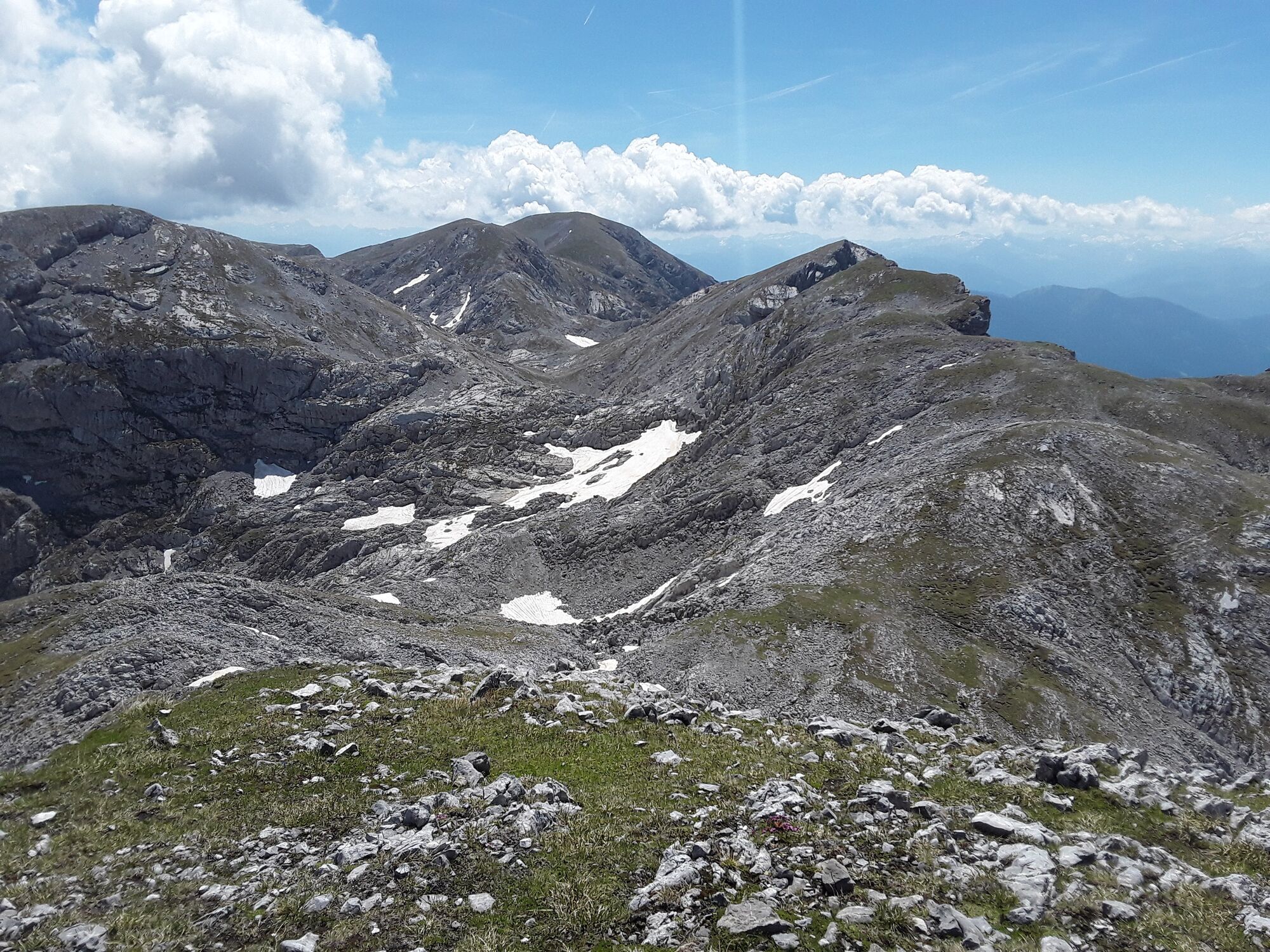
Eisriesenwelt Hochpfeiler
Mountain hiking
15,24
km
Yggdrasil
(989 m)
Restaurant
0,0 km
Wimmerhütte
(1.079 m)
Restaurant
0,9 km
Dr. Oedl Haus
(1.574 m)
Restaurant
2,7 km
Achselkopf
(1.658 m)
Summit
4,0 km
Hühnerkrallkopf
(2.401 m)
Summit
6,3 km
Lehnender Stein
(2.400 m)
Summit
7,2 km
Hochpfeiler
(2.410 m)
Summit
7,8 km
Pfaffenleitenköpfl
(2.360 m)
Summit
8,8 km
Schafbergspitz
(2.360 m)
Summit
8,9 km
Achselkopf
(1.658 m)
Summit
11,5 km
Dr. Oedl Haus
(1.574 m)
Restaurant
12,7 km
Wimmerhütte
(1.079 m)
Restaurant
14,3 km
Yggdrasil
(989 m)
Restaurant
15,1 km


Valuations
5
(1)
4
(0)
3
(0)
2
(0)
1
(0)
Popular tours in the neighbourhood
- 4,9
Hochkönig - Gipfel der Gefühle - Matrashaus
heavyHiking20,9 km - 3,8
Hochkönig summit route - main ascent
heavyHiking18,1 km - 4,5
Hoher Göll vom Alpeltal
heavyHiking15,0 km - 4,7
Panorama hike to the Hochkeil
mediumHiking6,07 km - 4,7
Mühlenweg und Winnerfall Scheffau am Tennengebirge
mediumHiking4,79 km - 3,6
Wanderung zur Ostpreußenhütte in Werfen (1.630 m)
mediumHiking11,2 km - 4,7
About the "Four Huts circular route" to Windraucheggalm
mediumHiking10,1 km - 3,7
Auf die Ostpreussenhütte
mediumHiking16,6 km - 3,9
Mühlbacher Höhenweg
mediumHiking11,2 km - 4,2
Wasserfallweg (UNESCO-Geopark Erz der Alpen)
lightThematic route4 km

Hiking & Tracking

Over 550.000 tour suggestions, detailed maps and an intuitive route planner make the app a must-have for all nature enthusiasts.

Don't miss out on offers and inspiration for your next holiday
Subscribe to the newsletter
Error
An error has occurred. Please try again.Thank you for your registration
Your e-mail address has been added to the mailing list.
Tours throughout Europe
Austria Switzerland Germany Italy Slovenia France Netherlands Belgium Poland Liechtenstein Czechia Slovakia Spain Croatia Bosnia and Herzegovina Luxembourg Andorra Portugal Iceland United Kingdom Ireland Greece Albania North Macedonia Malta Norway Montenegro Moldova Kosovo Hungary San Marino Romania Estonia Latvia Belarus Cyprus Lithuania Serbia Bulgaria Monaco Denmark Sweden Finland