

Tour data
14.97km
1,130
- 2,520m
1,976hm
1,968hm
07:30h

- Brief description
-
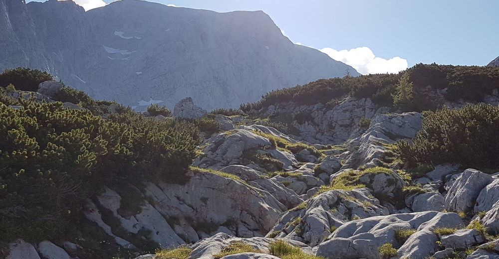
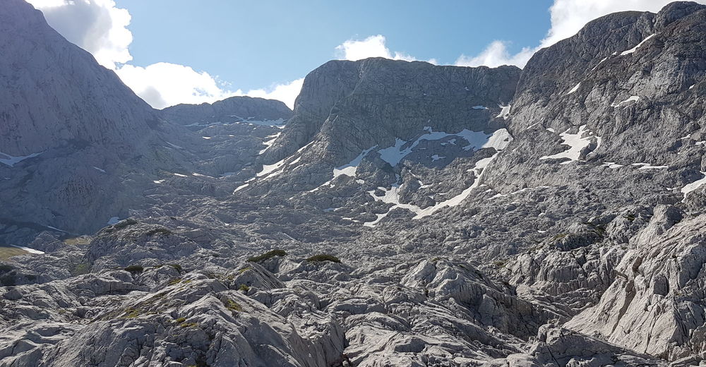
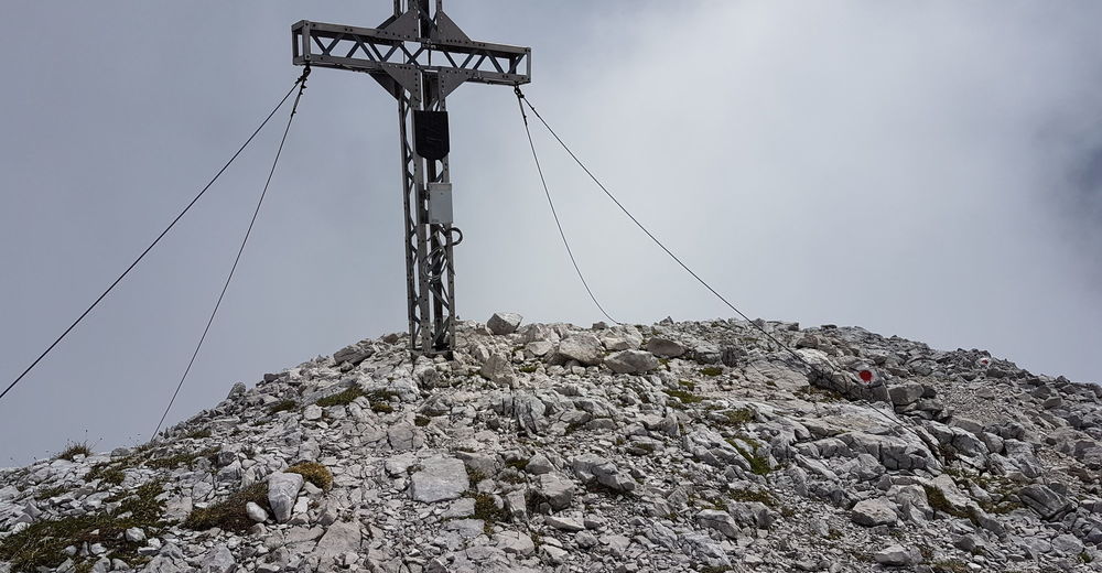
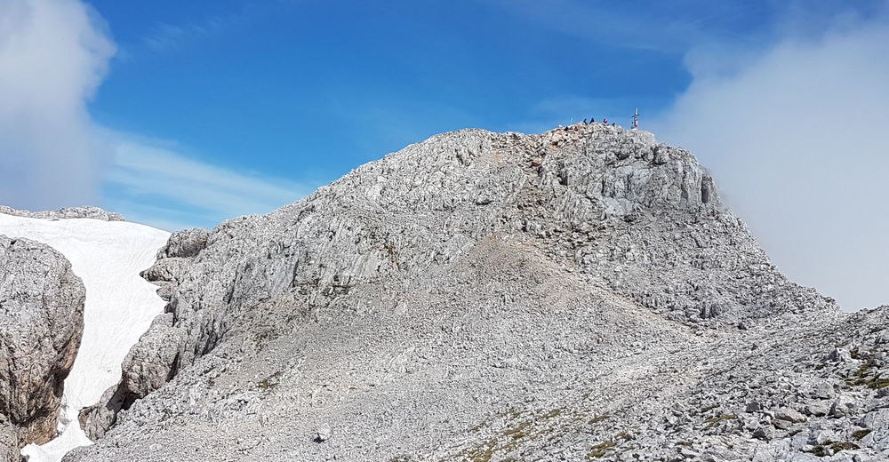
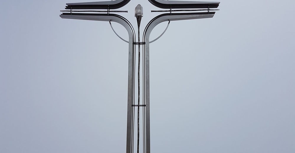
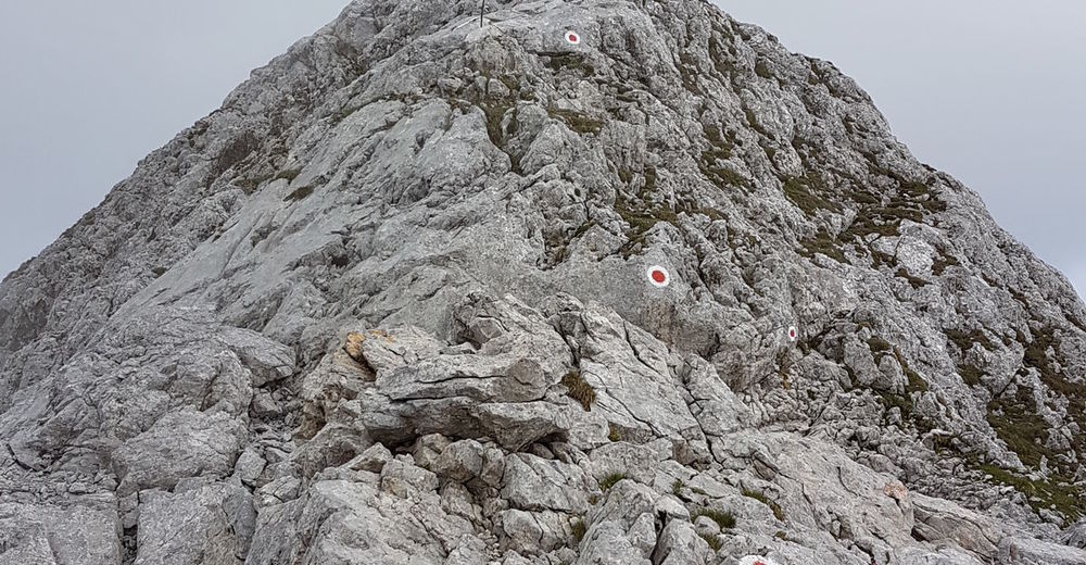
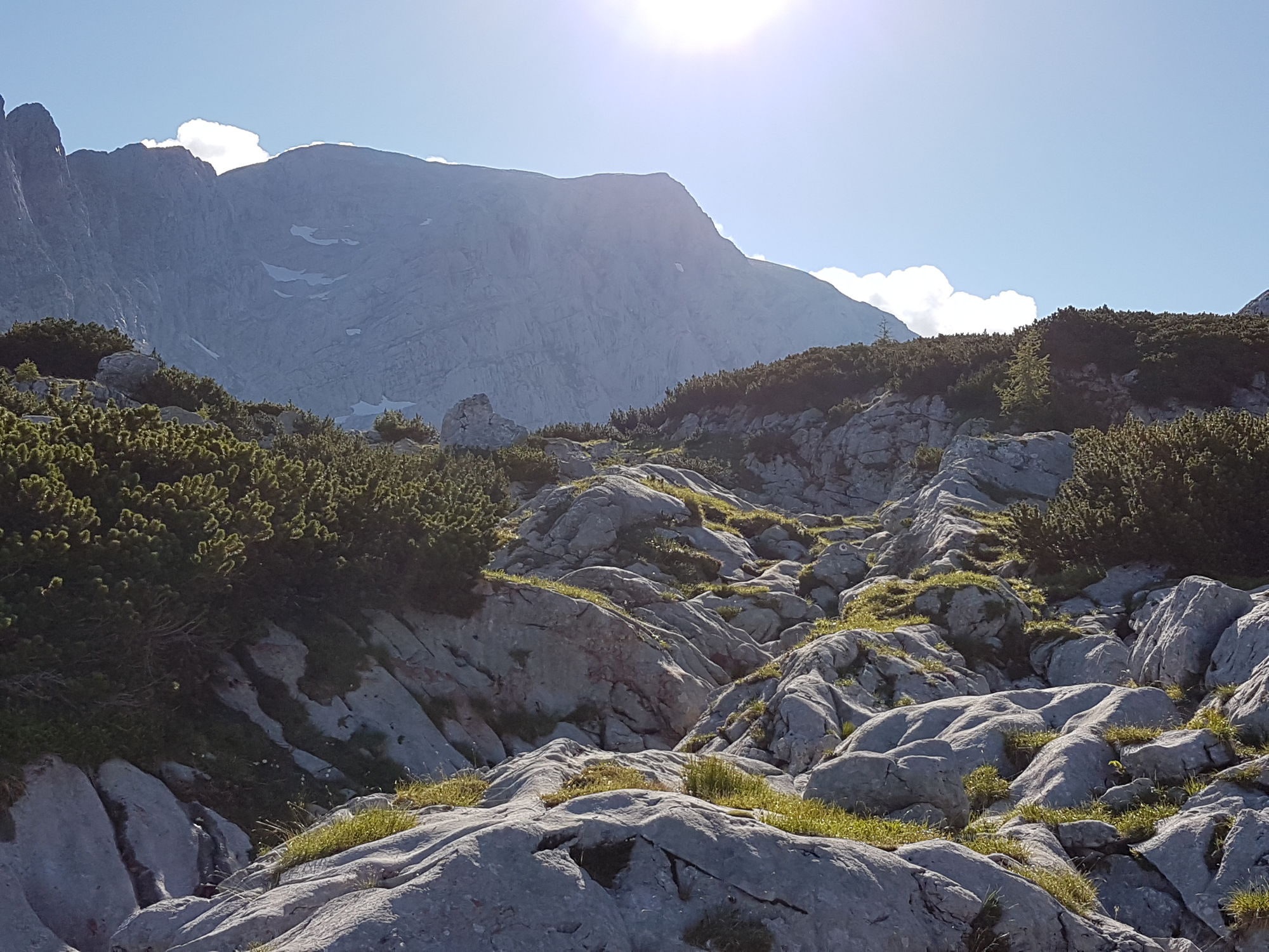
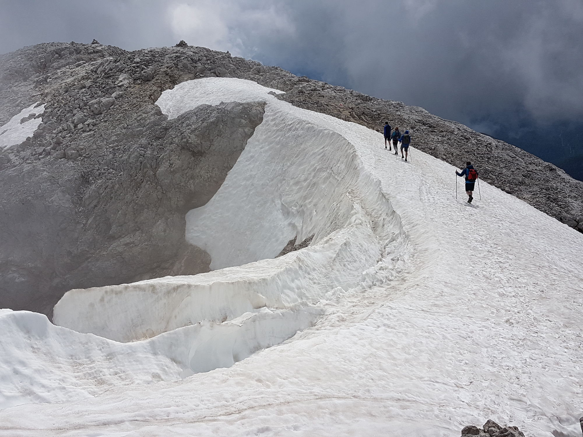
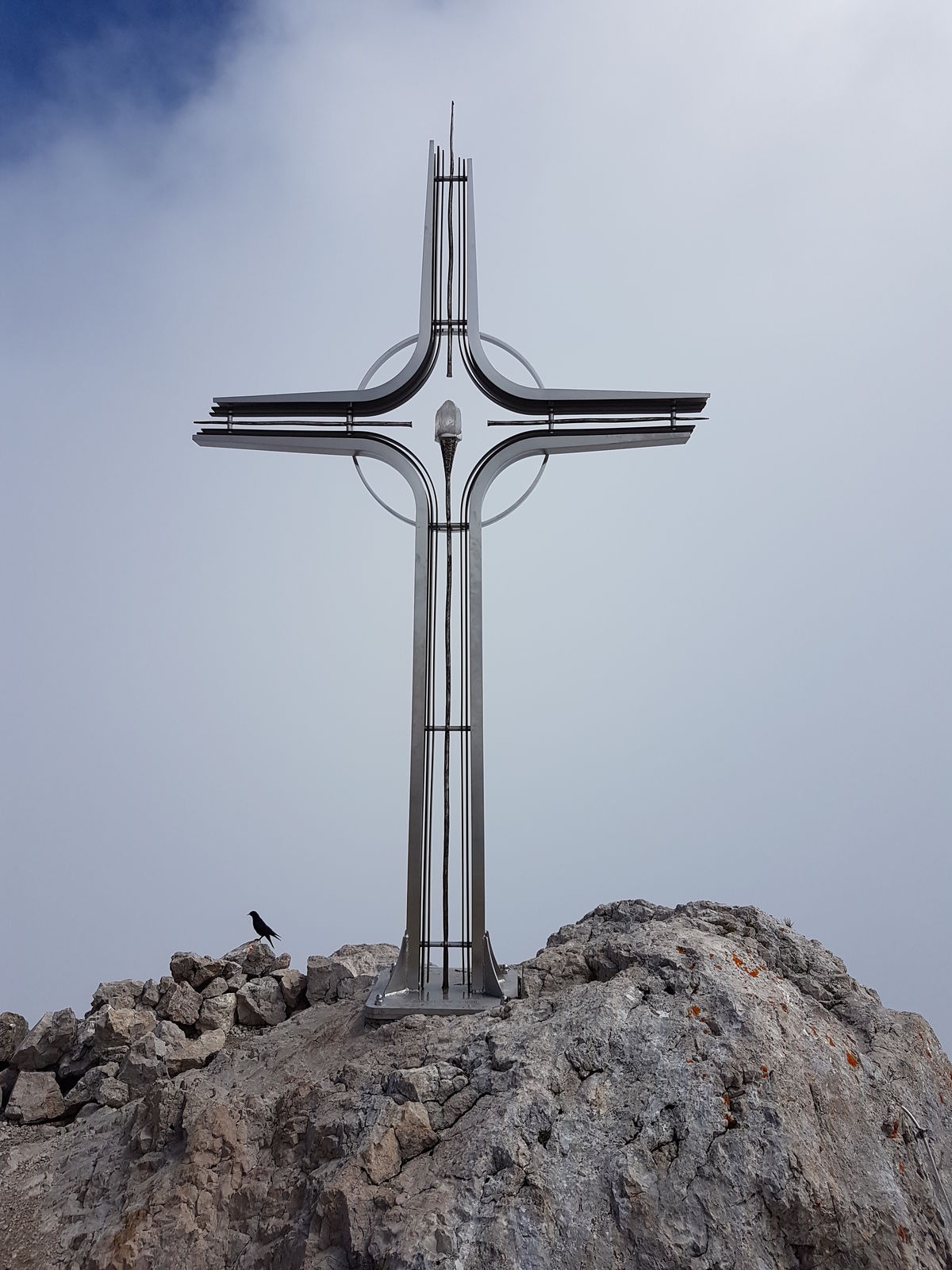
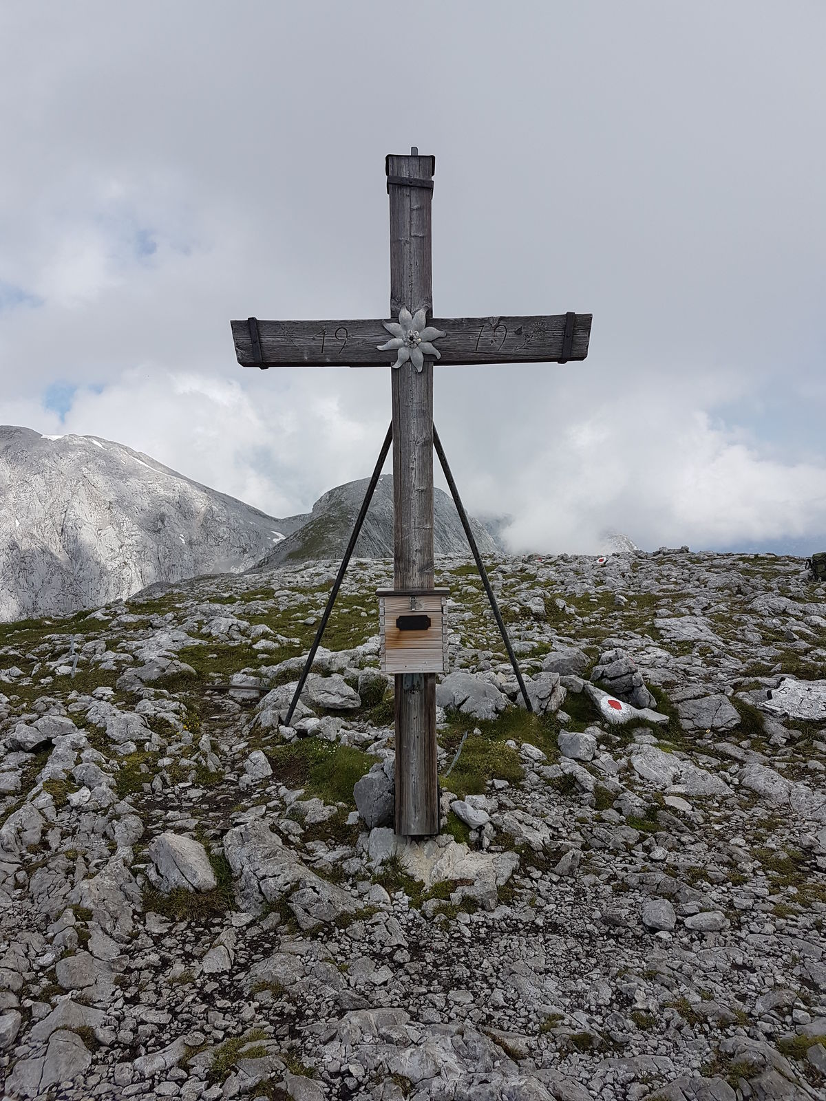
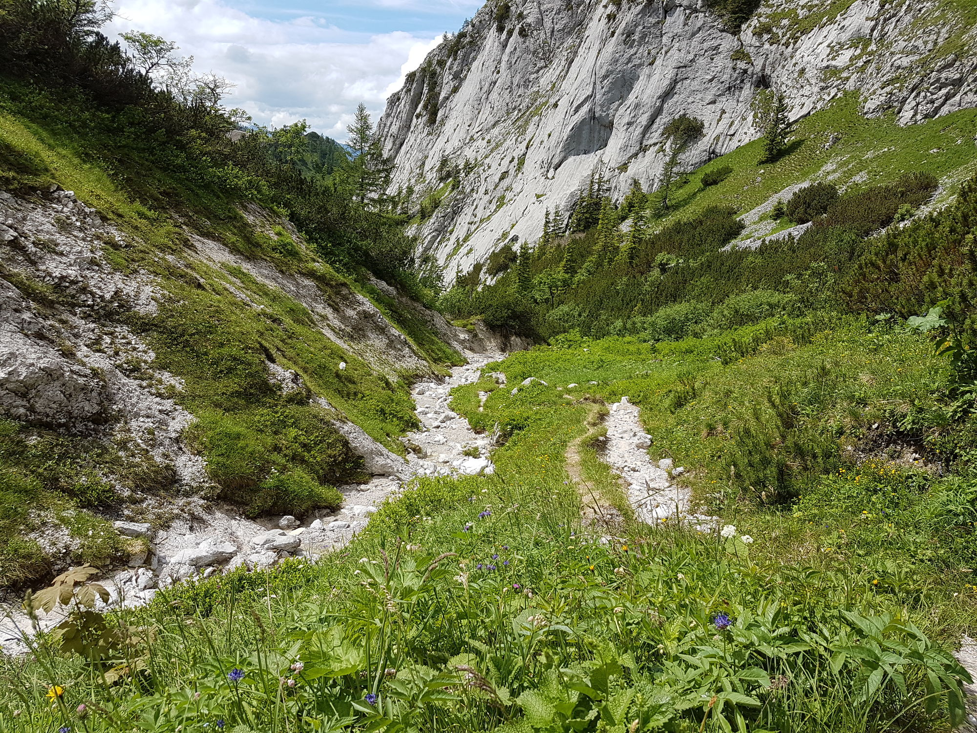
Hoher Göll durchs Alpeltal, großer Archenkopf und Hohes Brett
- Difficulty
-
medium
- Rating
-
- Starting point
-
Parkplatz Hinterbrand
- Route
-
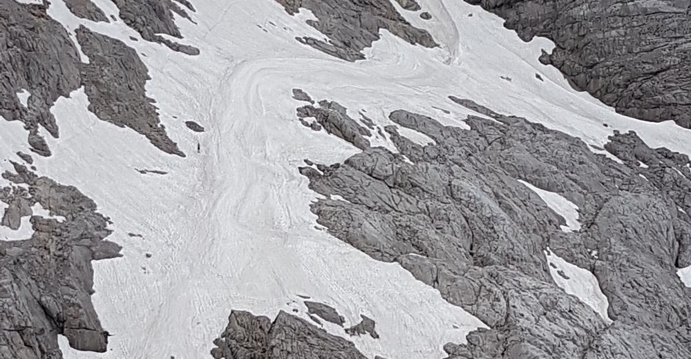
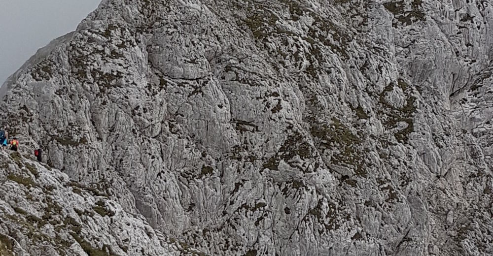
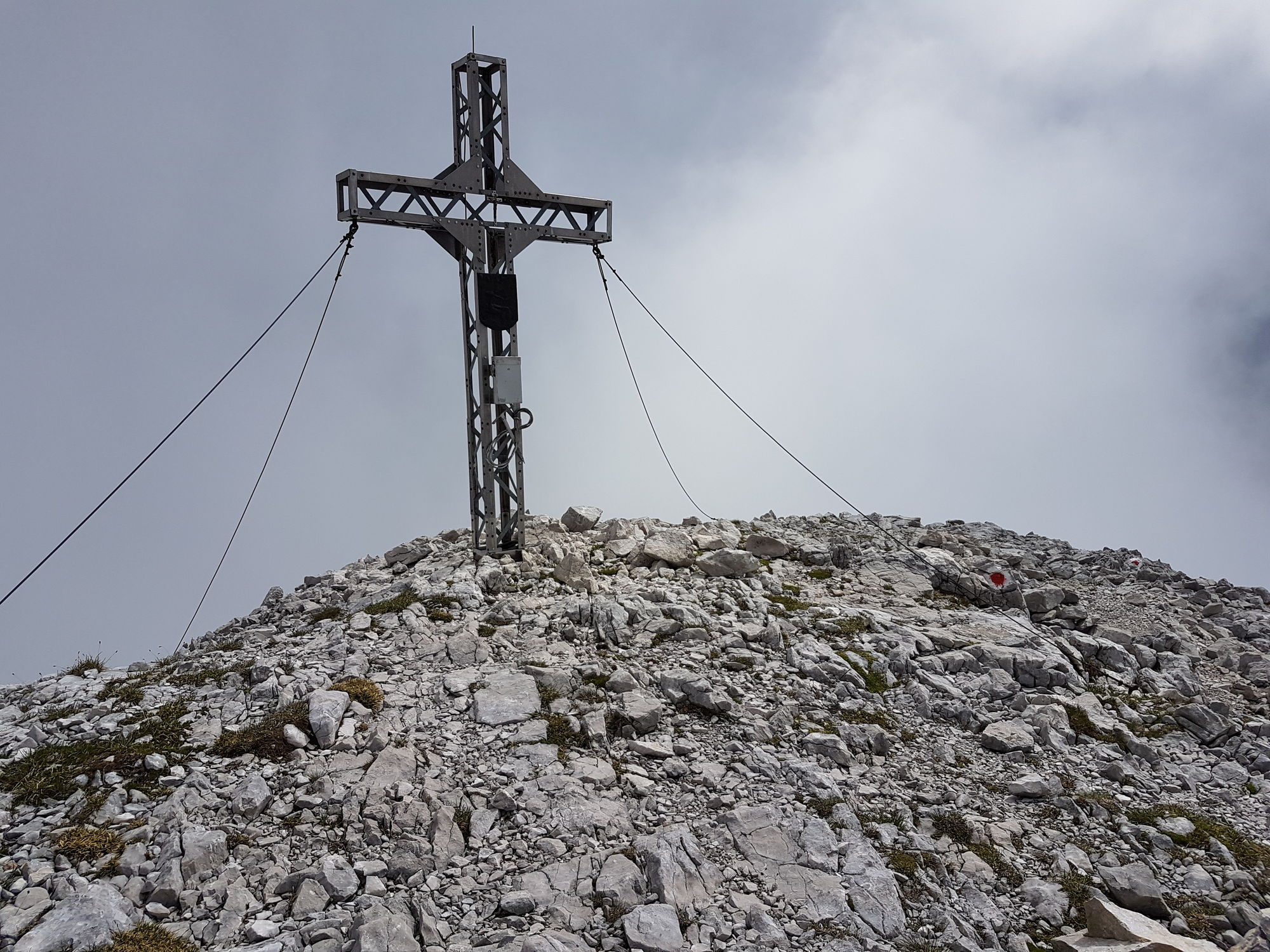
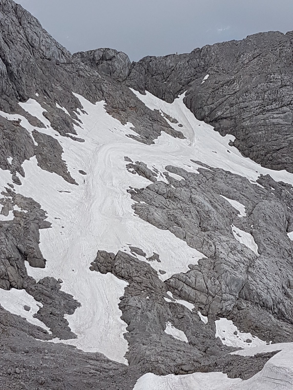
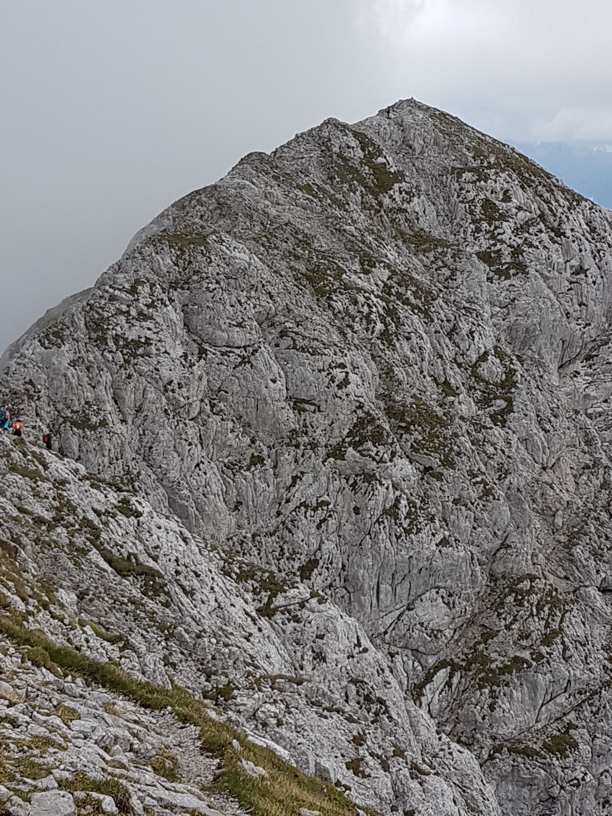
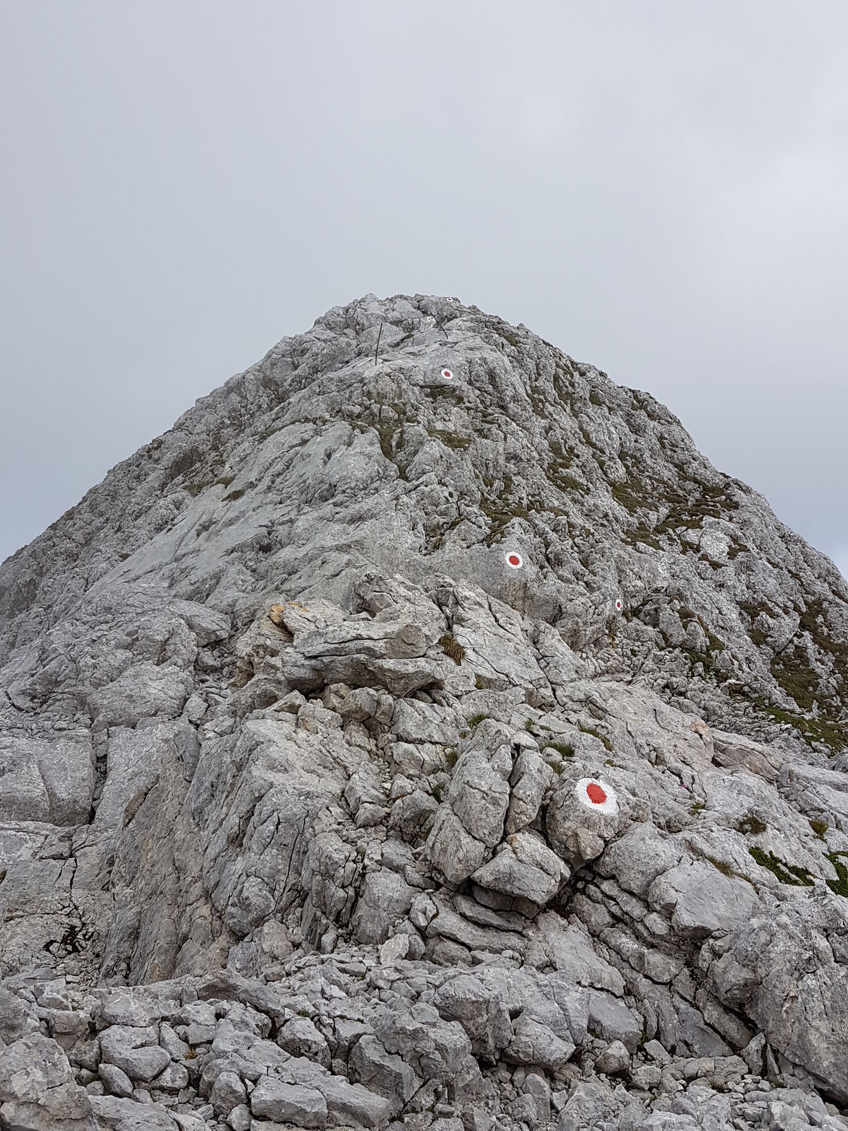
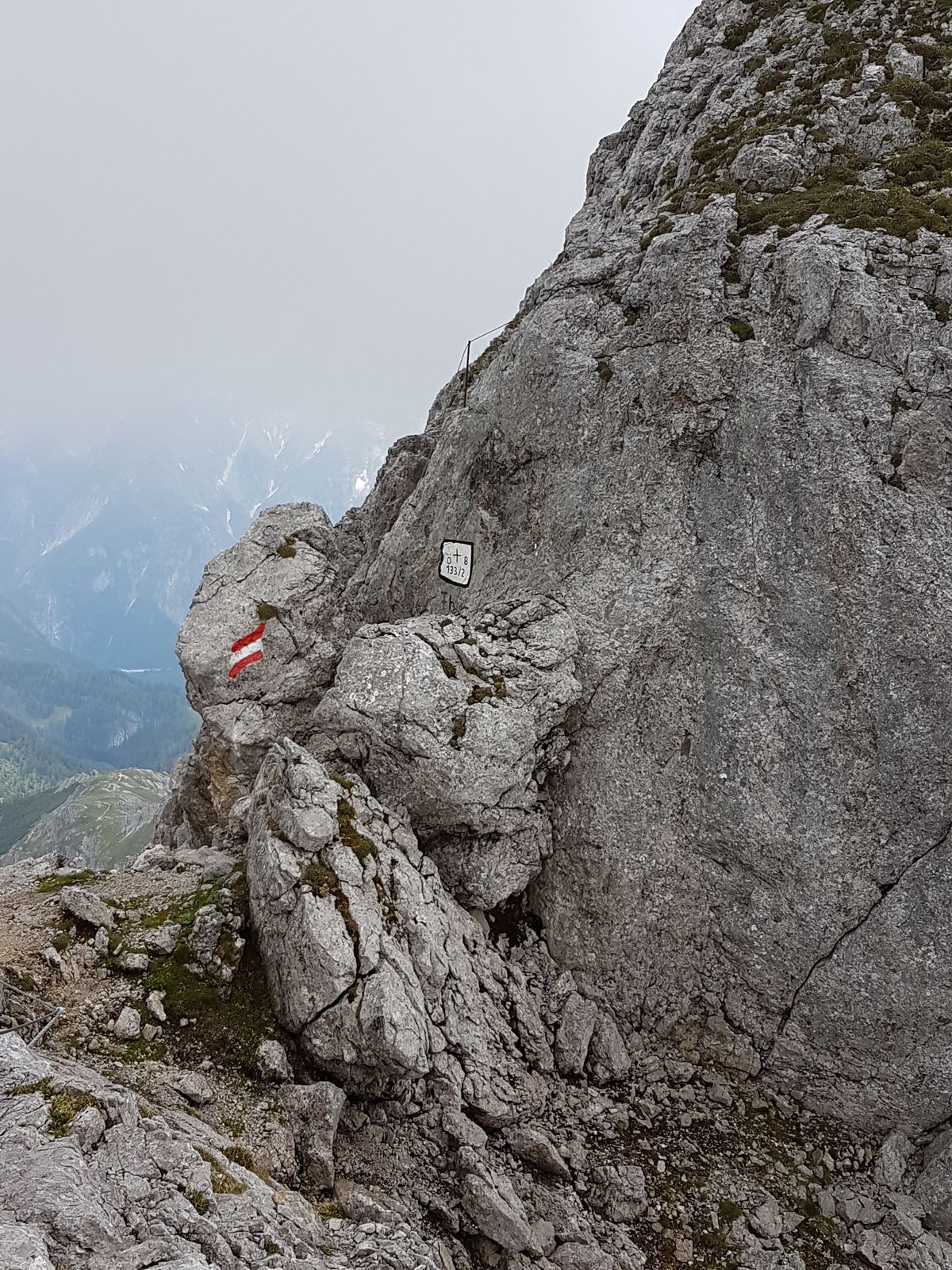
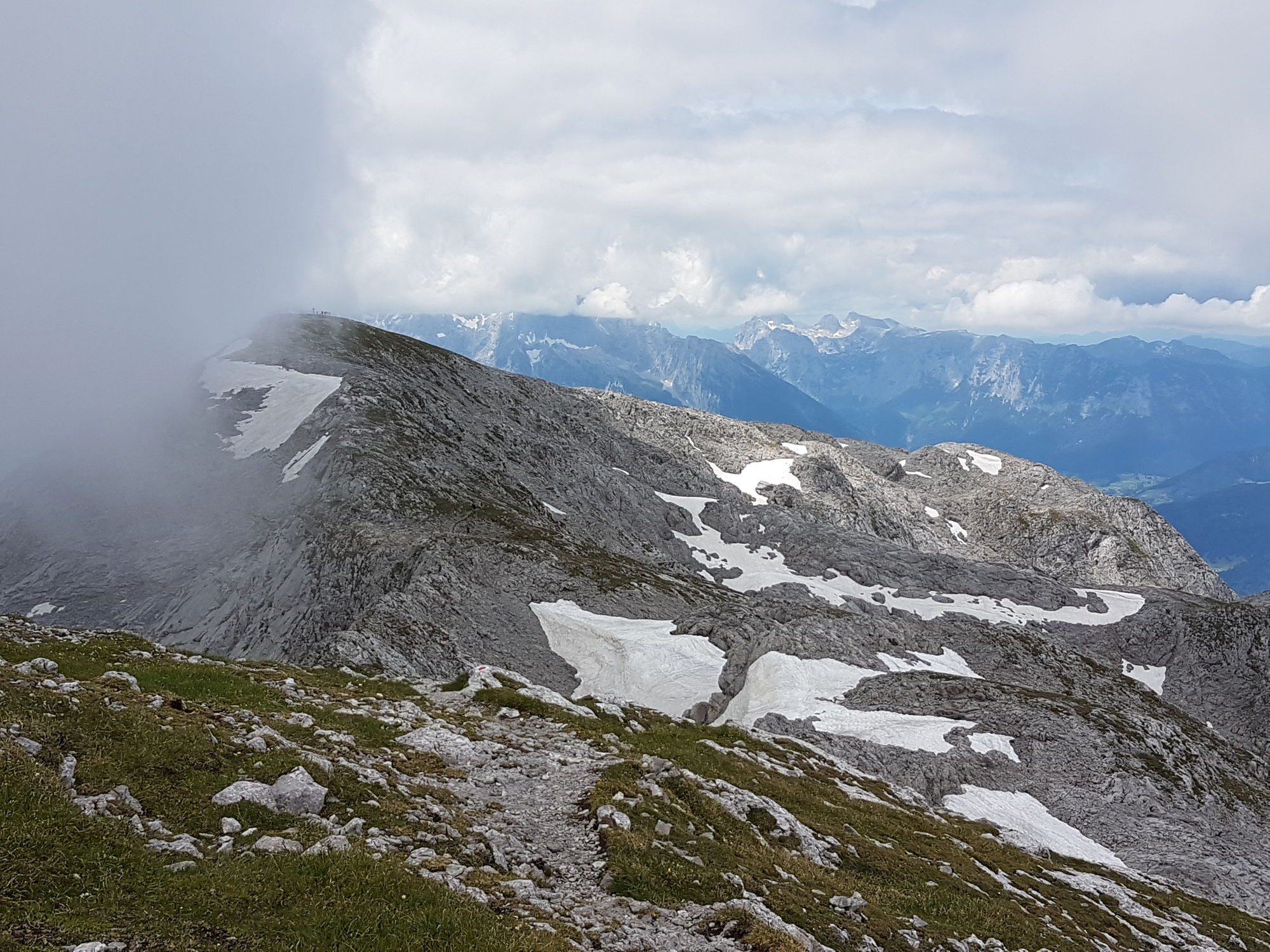
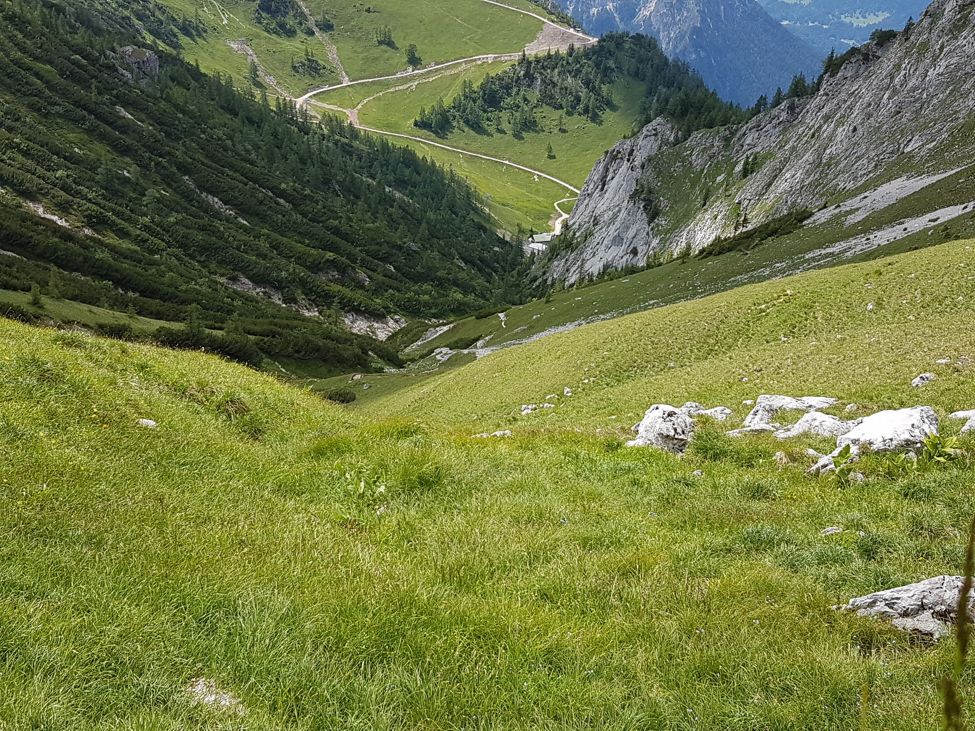
Umgäng (1,922 m)3.4 kmHoher Göll (2,522 m)6.2 kmGroßer Archenkopf (2,391 m)7.3 kmHohes Brett (2,340 m)8.9 kmMitterkaseralm11.3 kmKrautkaserlift Bergstation12.1 kmBergquell13.3 km
- Best season
-
JanFebMarAprMayJunJulAugSepOctNovDec
- Highest point
- 2,520 m
- Endpoint
-
Hoher Göll
- Rest/Retreat
-
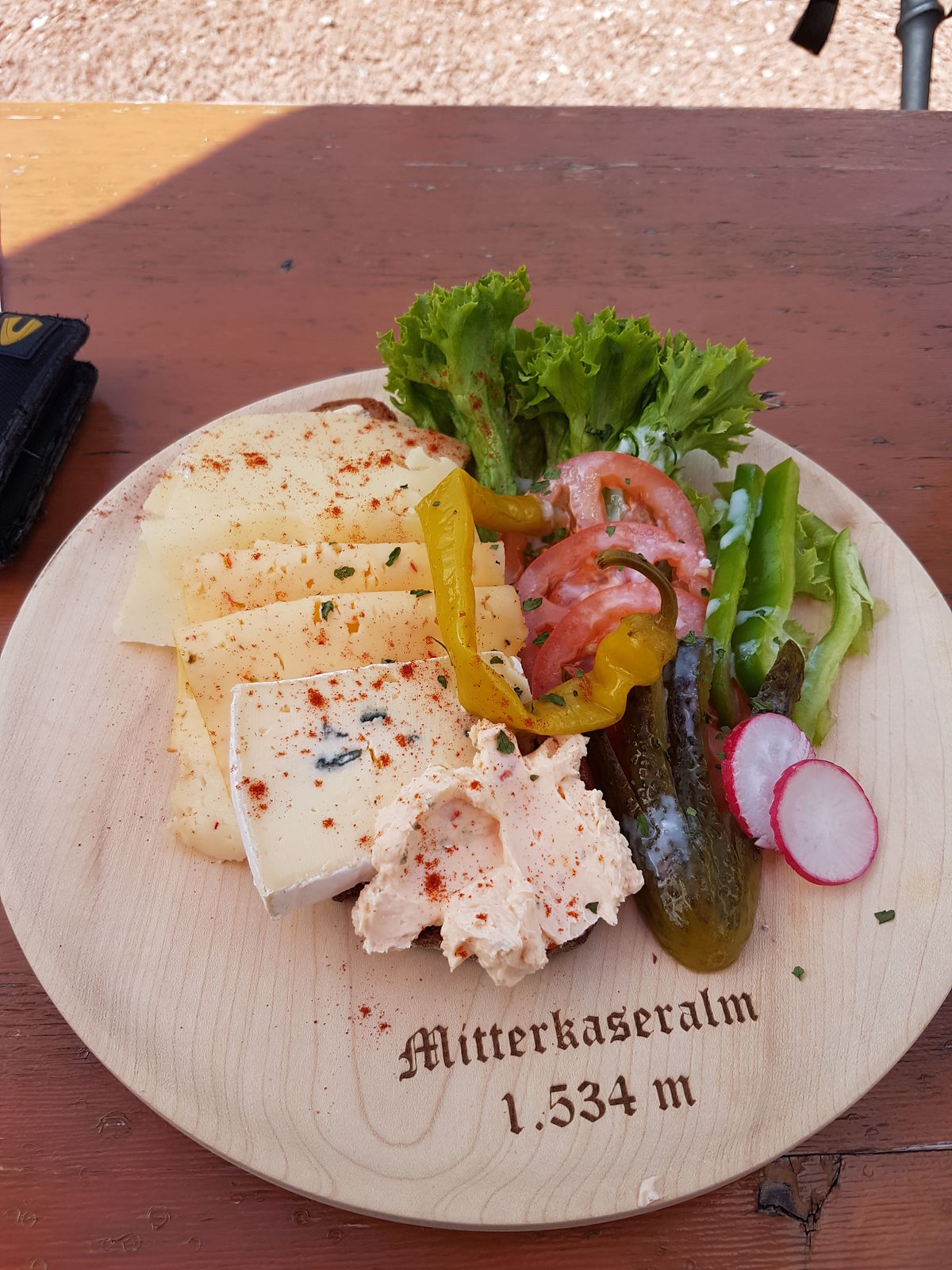
Mitterkaseralm


GPS Downloads


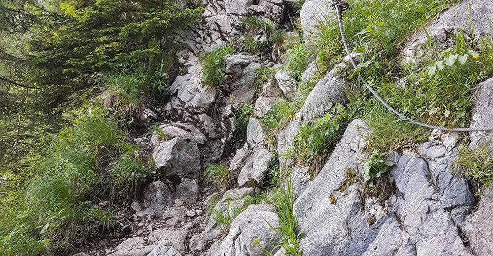
Trail conditions
Asphalt
Gravel
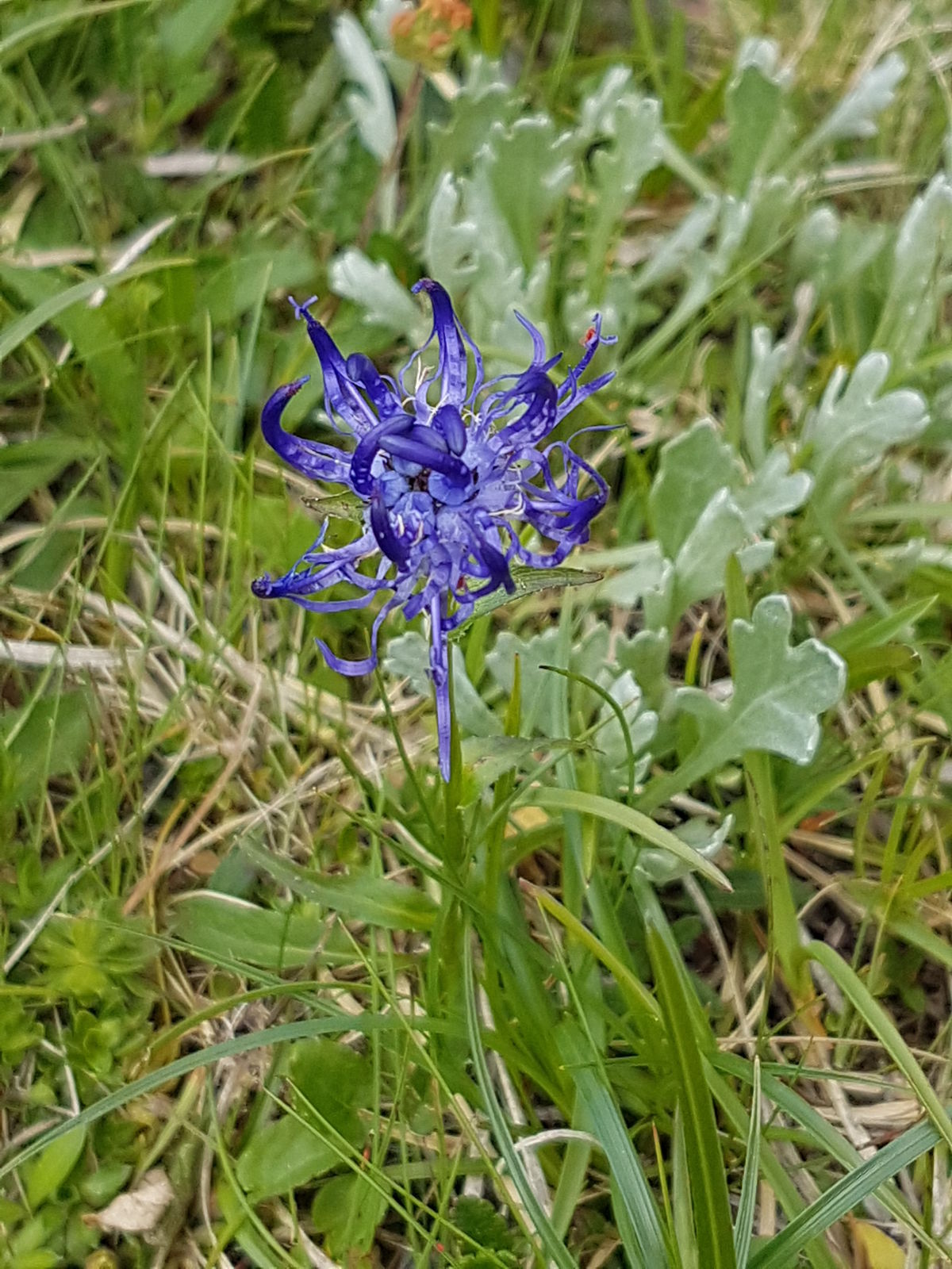
Meadow
Forest
Rock
Exposed
Other tours in the regions
-
Tennengau - Dachstein West
1998
-
Berchtesgaden
623


