


- Brief description
-
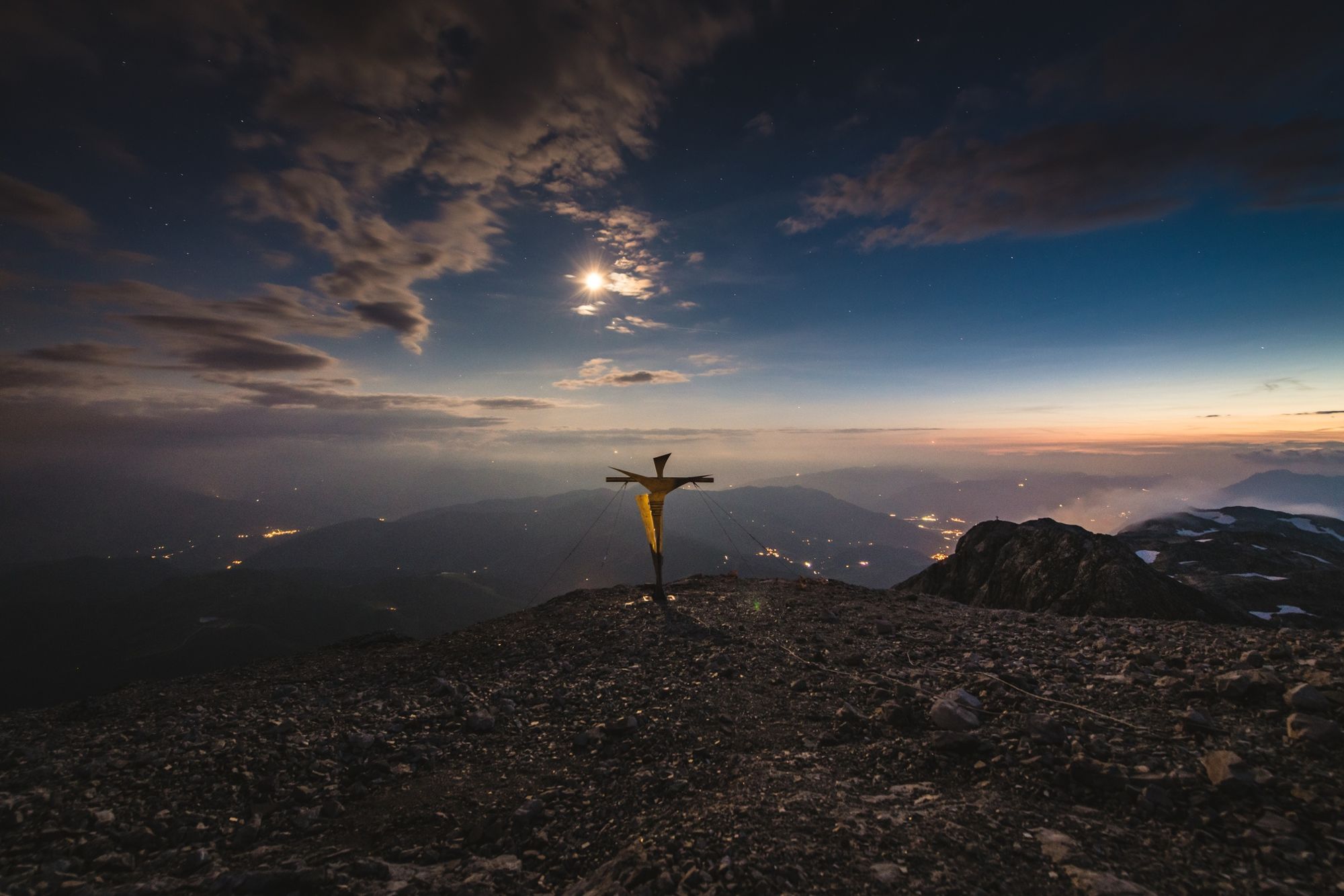
The tour up the Hochkönig is known as a proper "Wadlbeißer". A panoramic adventure for mountaineers with a lot of stamina and physical condition.
- Difficulty
-
difficult
- Rating
-
- Starting point
-
Arthurhaus
- Route
-
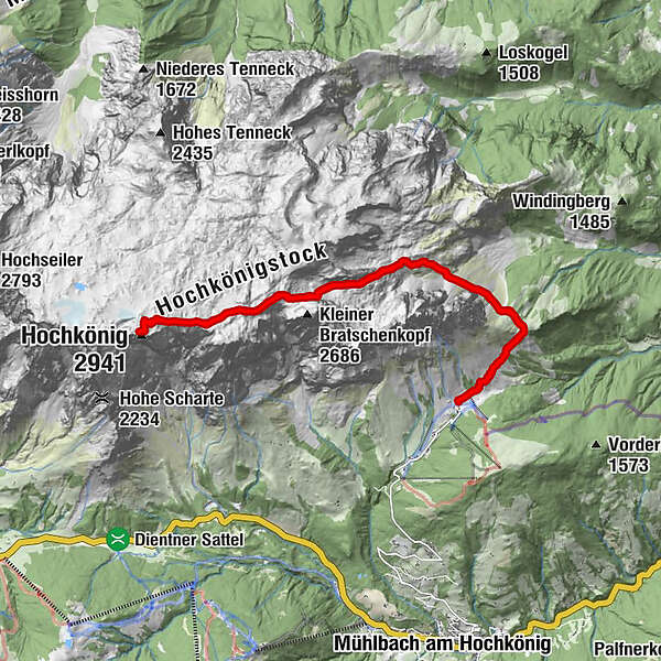
ArthurhausMitterfeldalm1.7 kmSchrammbachscharte (2,529 m)6.2 kmFranz-Eduard-Matras-Haus9.1 kmHochkönig (2,941 m)9.1 kmSchrammbachscharte (2,529 m)12.0 kmMitterfeldalm16.4 km
- Best season
-
JanFebMarAprMayJunJulAugSepOctNovDec
- Description
-
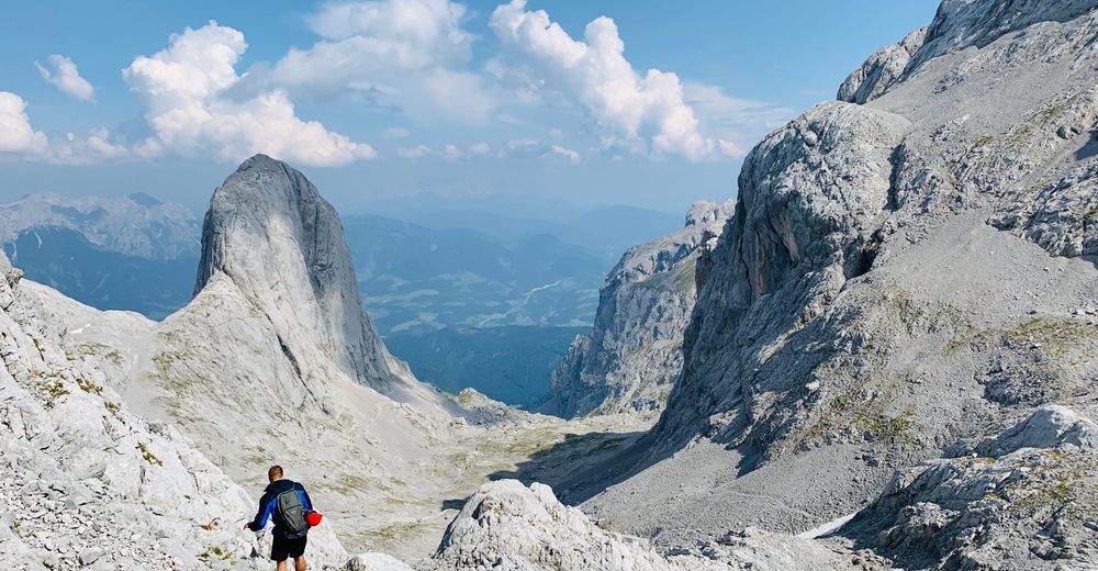
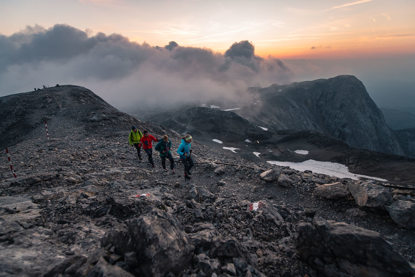
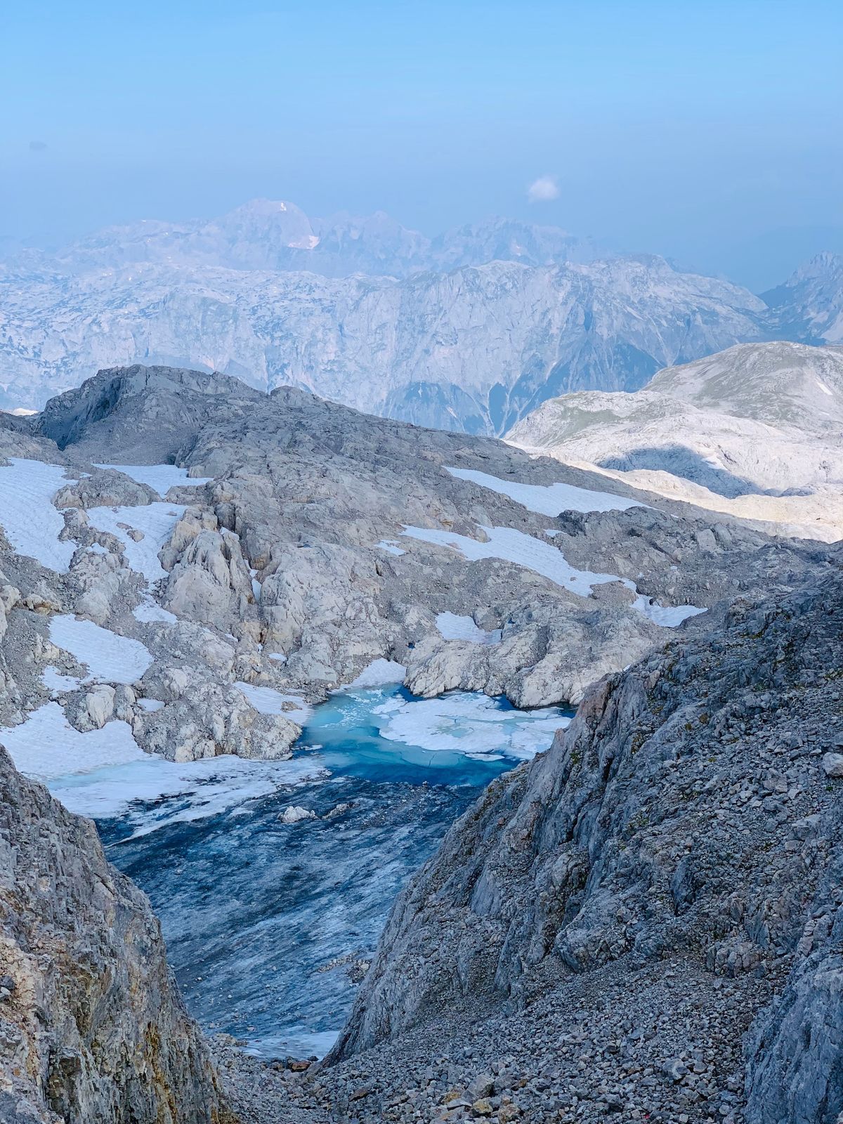
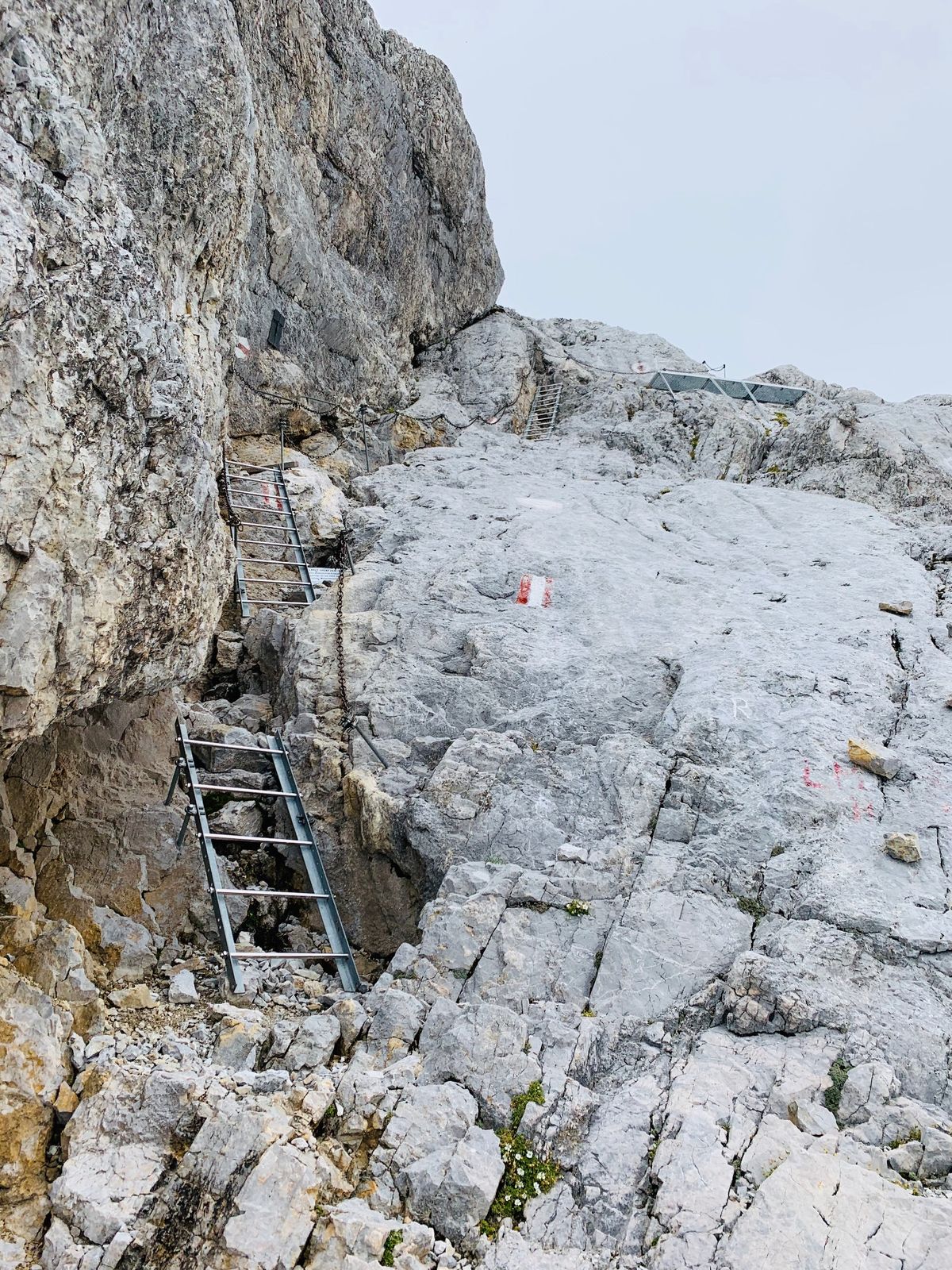
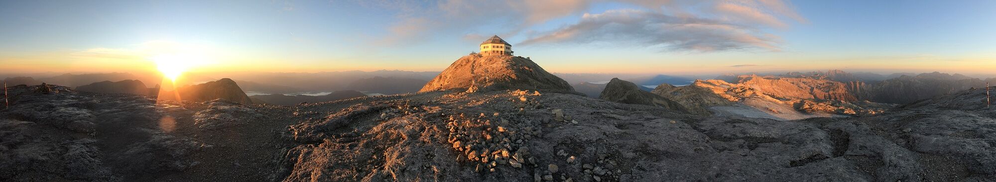
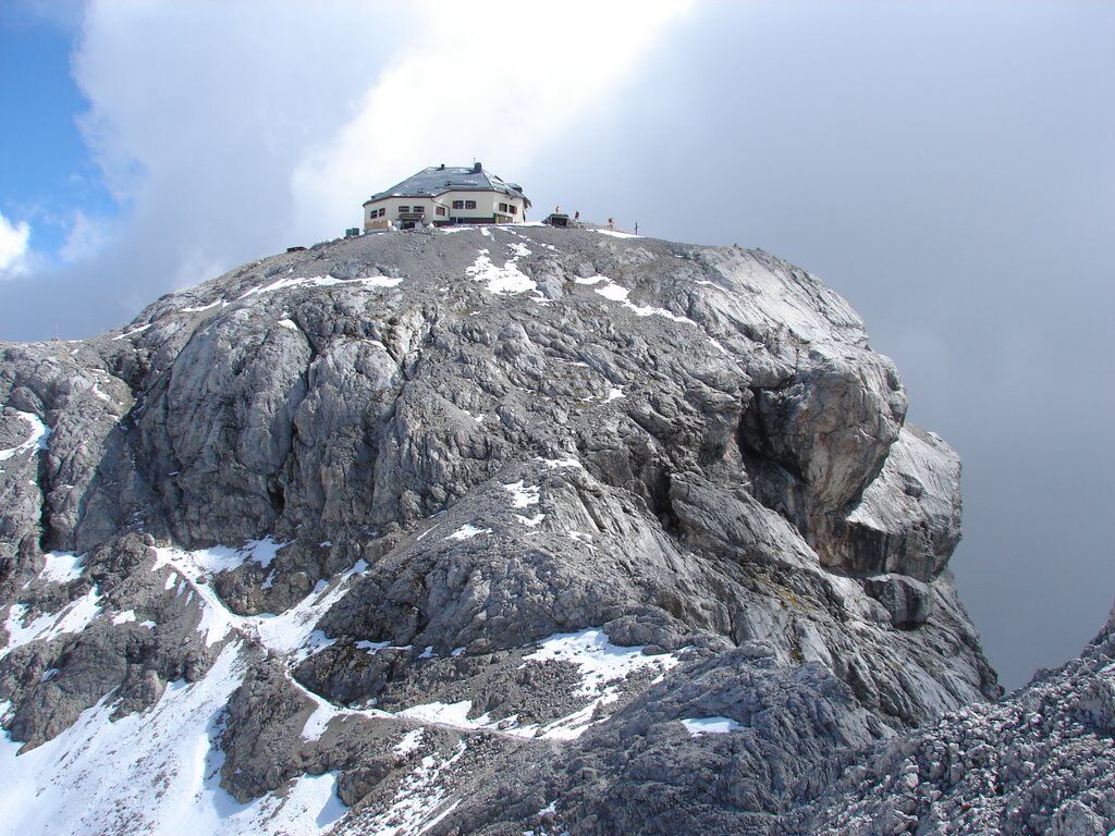
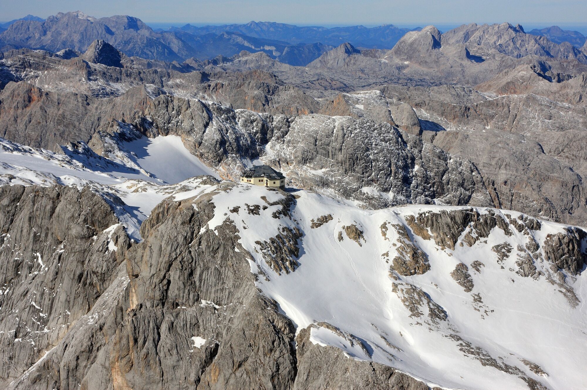
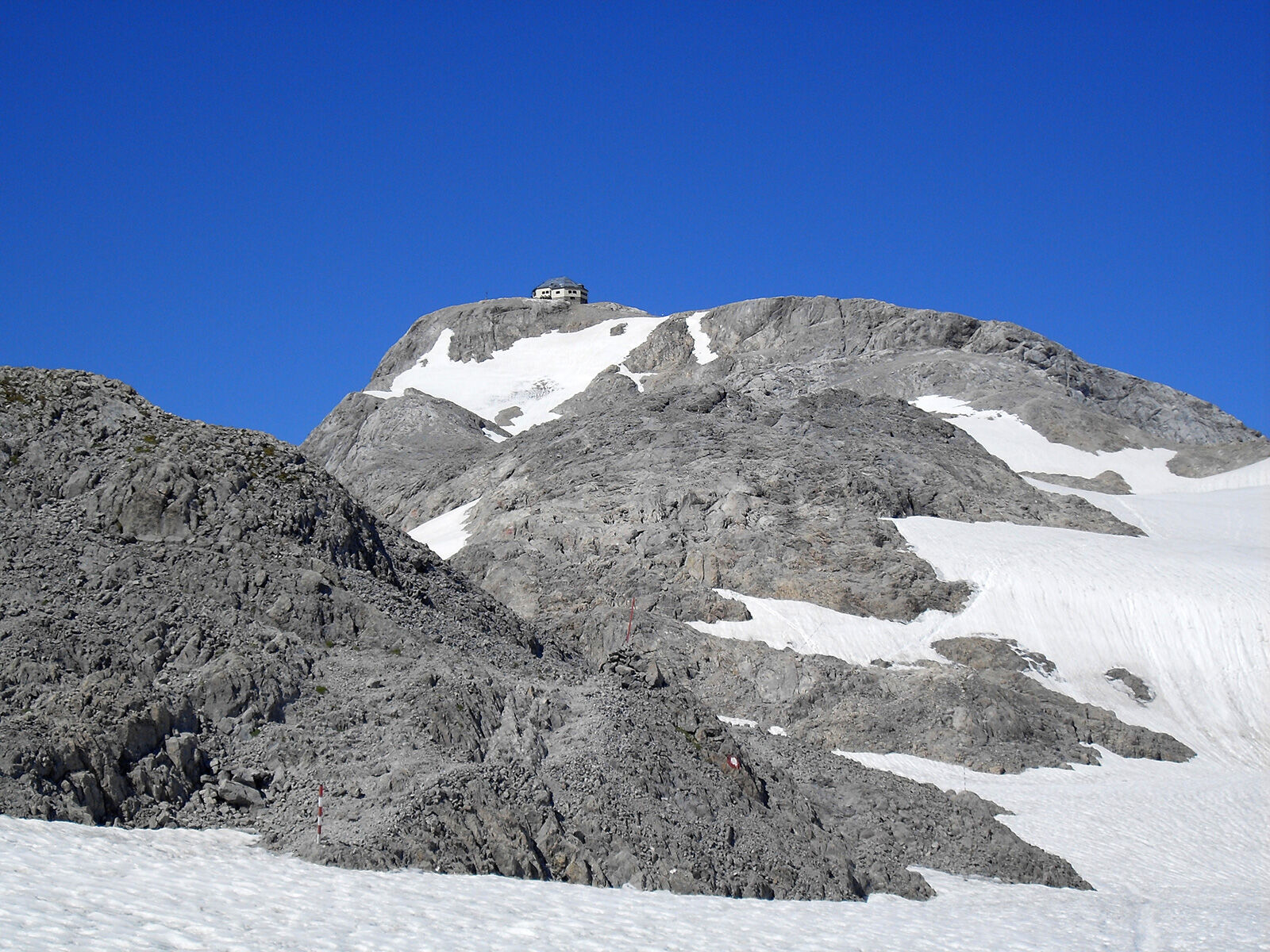
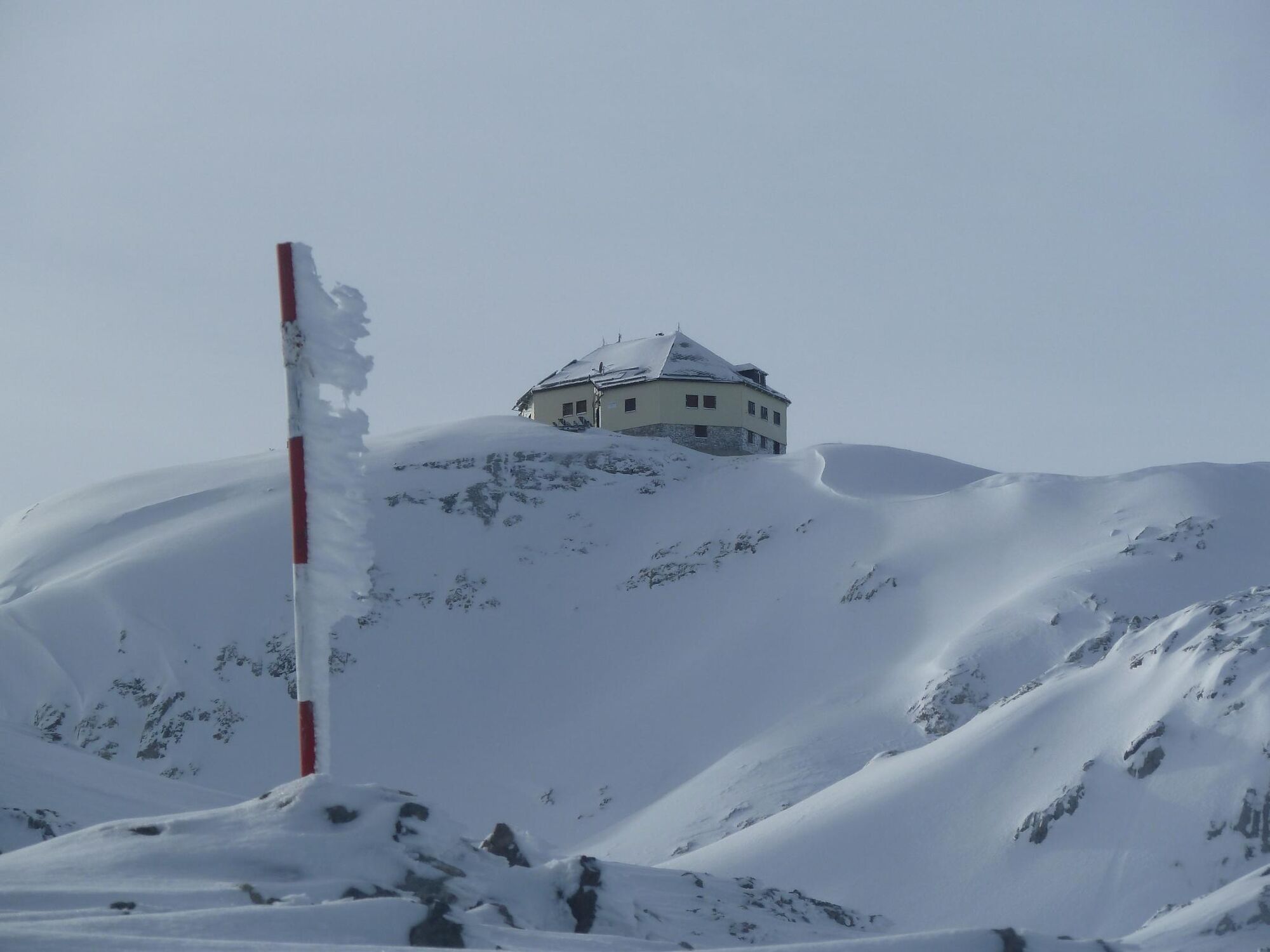
The easiest climb to the summit of Hochkönig ( 2941 m ) leads on the road no. 430 from Arthurhaus on a gravel road to the Mitterfeldalm. We continue on a marked trail to the edge of the glacier Übergossene Alm. Next on the flat snow field to the summit structure which is mounted on a steep, with ladder and ropes, how secure a stretch. On the Hochkönig summit awaits the Matrashaus and a wonderful panorama. Suitable for well-equipped and experienced hikers, a mountain guide is recommended. Please note the current weather situation.
- Directions
-
Those wanting to conquer the Hochkönig mountain need one thing above all, and that is fitness. This tour is a real leg-acher, and renowned. It is an adventure for experienced alpinists. The simplest route up to the Hochkönig’s summit at 2941 m is by taking path Nr. 430 from the Arthurhaus on a gravel track to the Mitterfeldalm. You then take a marked path uphill, past the imposing Torsäule to the edge of the Übergossene Alm glacier. The last section of path to your goal takes you over a flat snowfield. And those who have managed the steep section that is secu-red with ladders and ropes then stand right at the top, at the peak of their emotions. At the summit, it is not only an amazing panorama that awaits, but also the Matrashaus, one of the highest mountain huts in the Alps. Very important: This tour is only for well-equipped, experienced mountain walkers. We recom-mend you take a mountain guide. Always be aware of the prevailing weather situation.
- Highest point
- 2,918 m
- Endpoint
-
Matrashaus
- Height profile
-

- Equipment
-
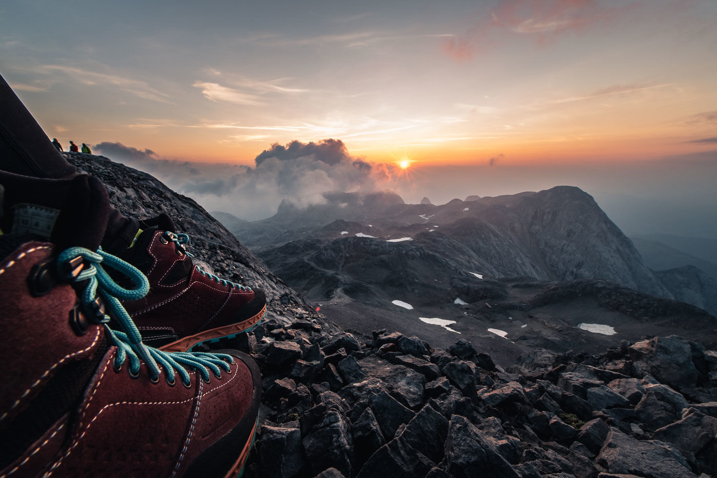
Mountaineering equipment required: ankle-high mountain boots, hiking poles, long and short-sleeved breathable clothing, sun protection, wind and rain protection, sunglasses, sunscreen, drinks, muesli bars, camera, hiking map
- Safety instructions
-
Safe hiking requires advance information and preparation. Please follow the rules for correct behaviour in the mountains. Because your safety is very important to us. And don't forget: Drink plenty of fluids during the tour! Bring litter down to the valley. Conserve the flora and fauna. Behavior with animals on the mountain pastures: Do not stroke or irritate cows, calves, sheep, horses, etc., but behave "normally" and do not show fear. Do not leave ways on alpine pastures and avoid animals with large distance. The dog must not chase on the pasture animals under any circumstances, especially mother cows fear for their calves. If a grazing animal should attack the dog, however, simply let it run for its own protection.
Emergency call numbers: Alpine emergency call: 140 International emergency call: 112
- Tips
-
High Alpine Tour with paths over glaciers! Only for experienced ,physically fit mountaineers!
- Additional information
- Directions
-
Hochkönigbundesstrasse B164 , Mandlwandstraße in the direction Arthurhaus.
- Public transportation
- Parking
-
Parking at the Arthurhaus.


- Author
-
The tour Summit tour Hochkönig main route is used by outdooractive.com provided.


General info
-
Hochkönig
2023
-
Mühlbach am Hochkönig
585