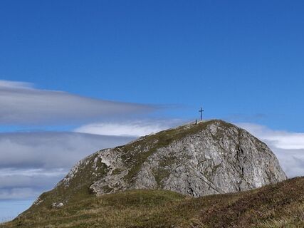
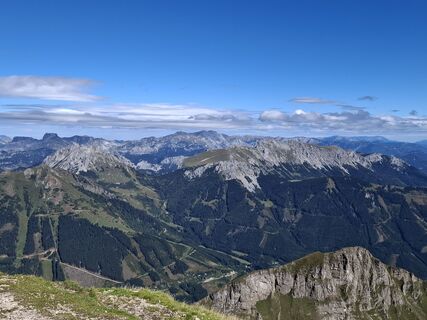
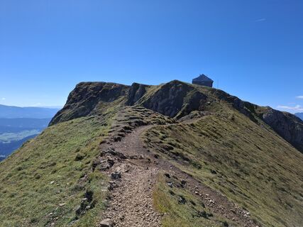
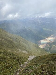
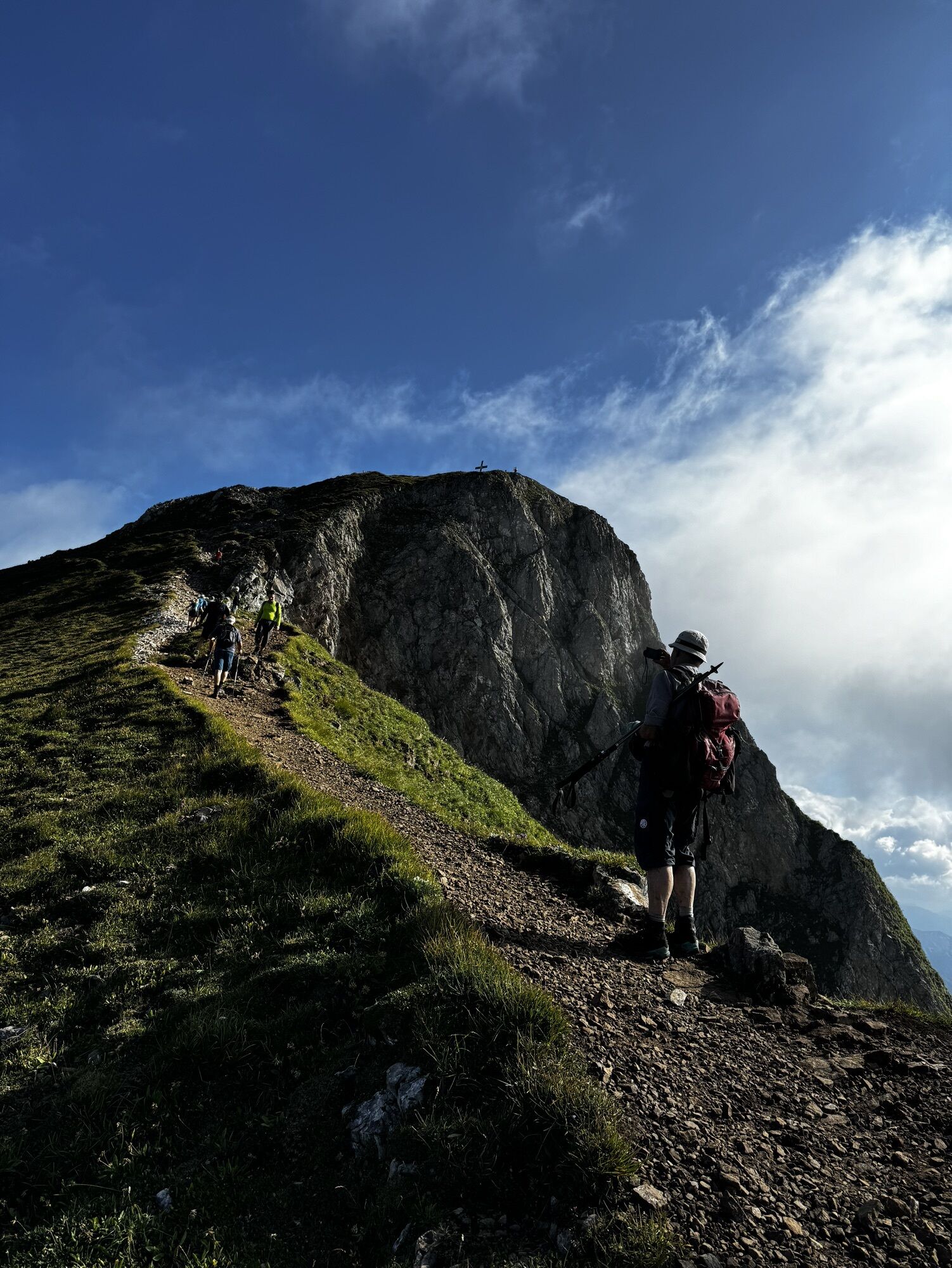
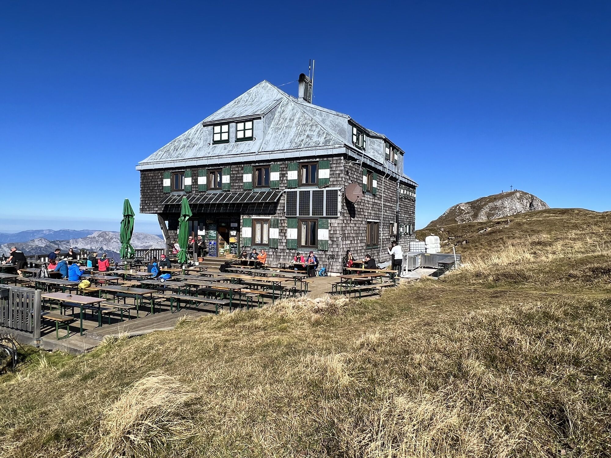
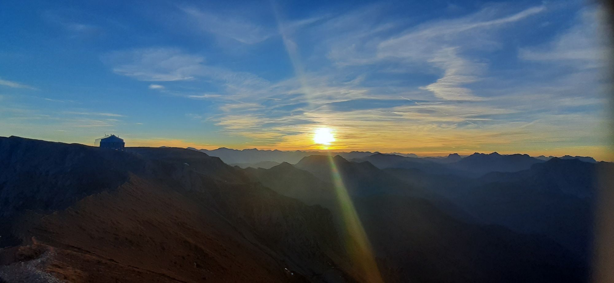
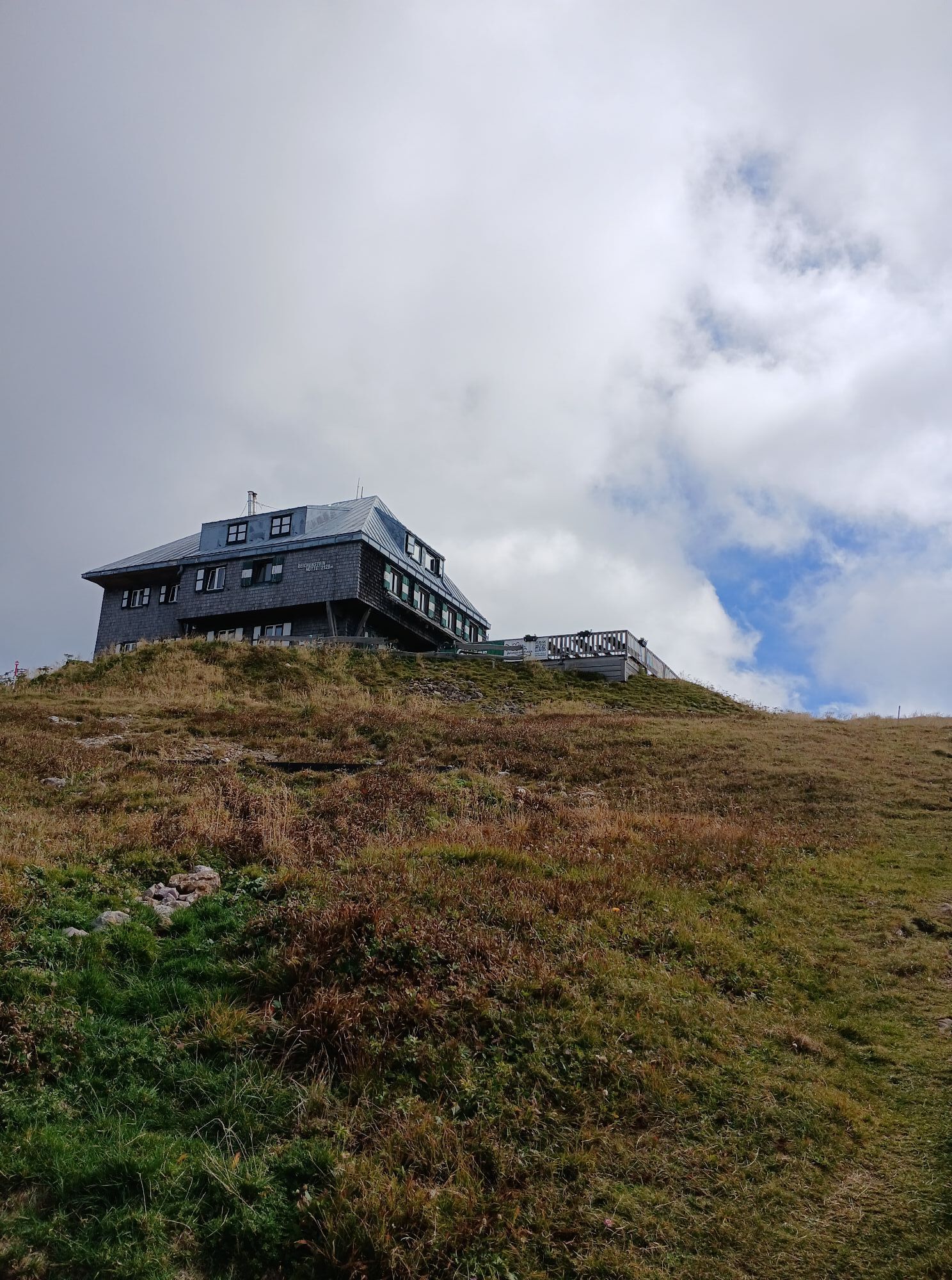
Reichenstein
Hiking
Navigate
Navigate
Get this tour on your mobile
Reichenstein
Hiking
16.09
km
Scan the QR code and start navigation in the bergfex app

Hiking & Tracking


Distance
16.09
km
Duration
05:59
h
Ascent
1,514
m
Sea level
841 -
2,158
m
Track download
Reichenstein
Hiking
16.09
km


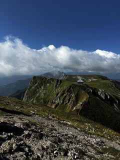
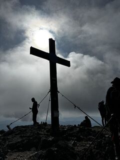
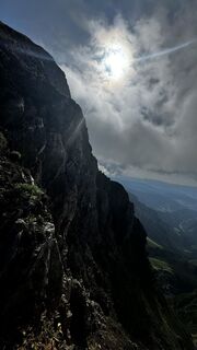
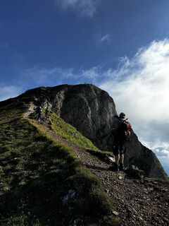
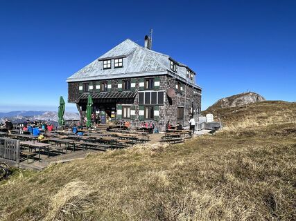
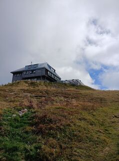
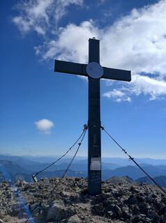
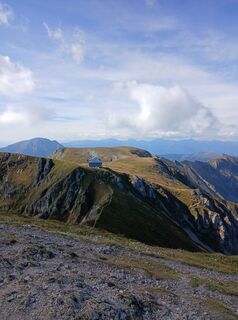
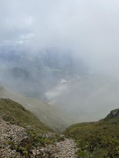
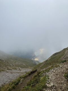
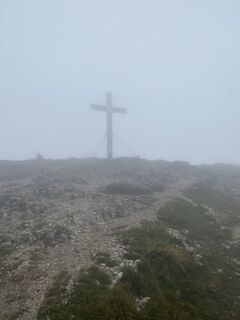
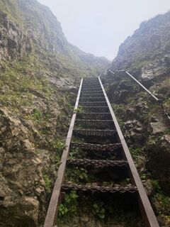
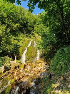
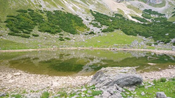
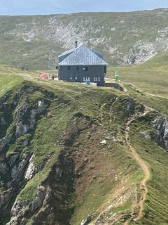
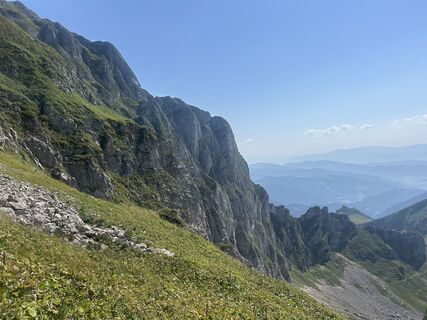
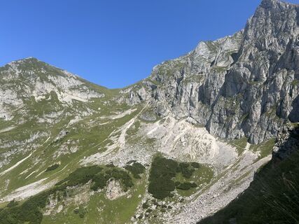
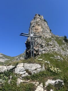
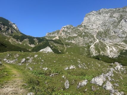
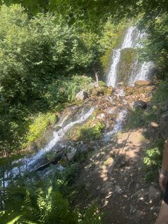
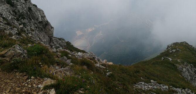
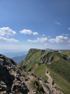
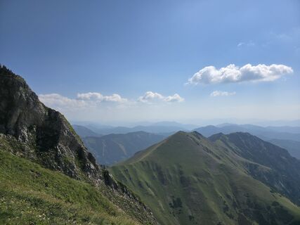
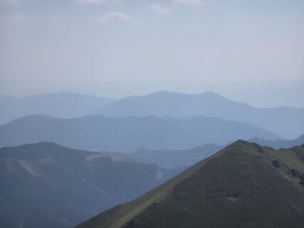
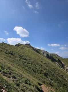
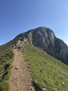
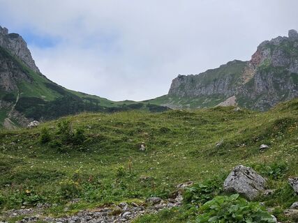
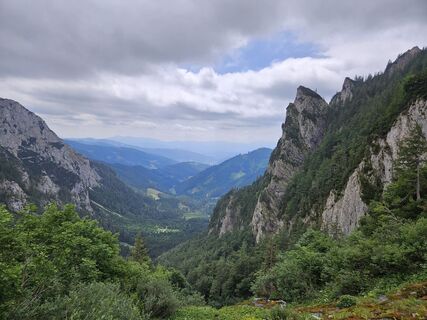
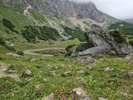
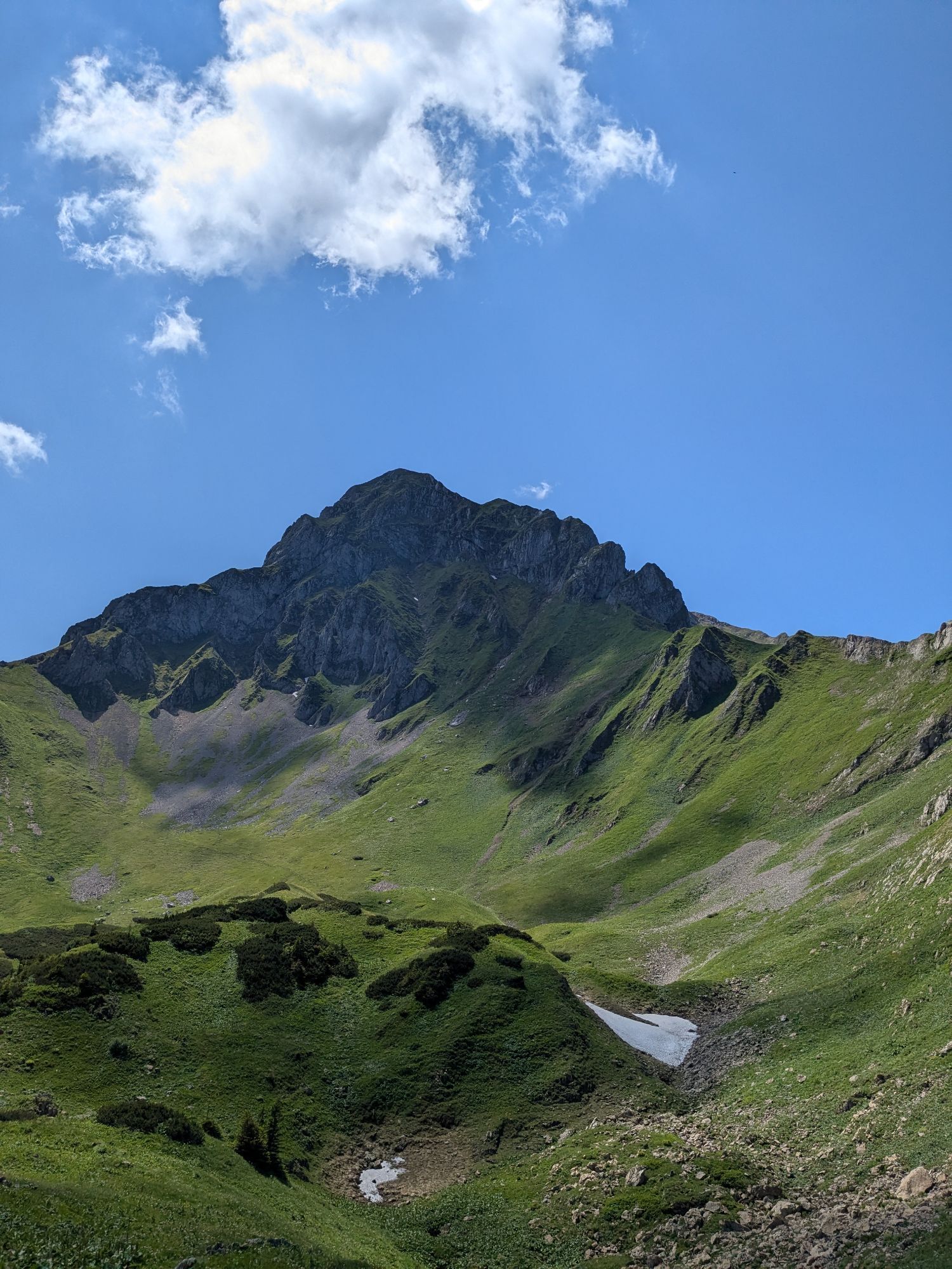
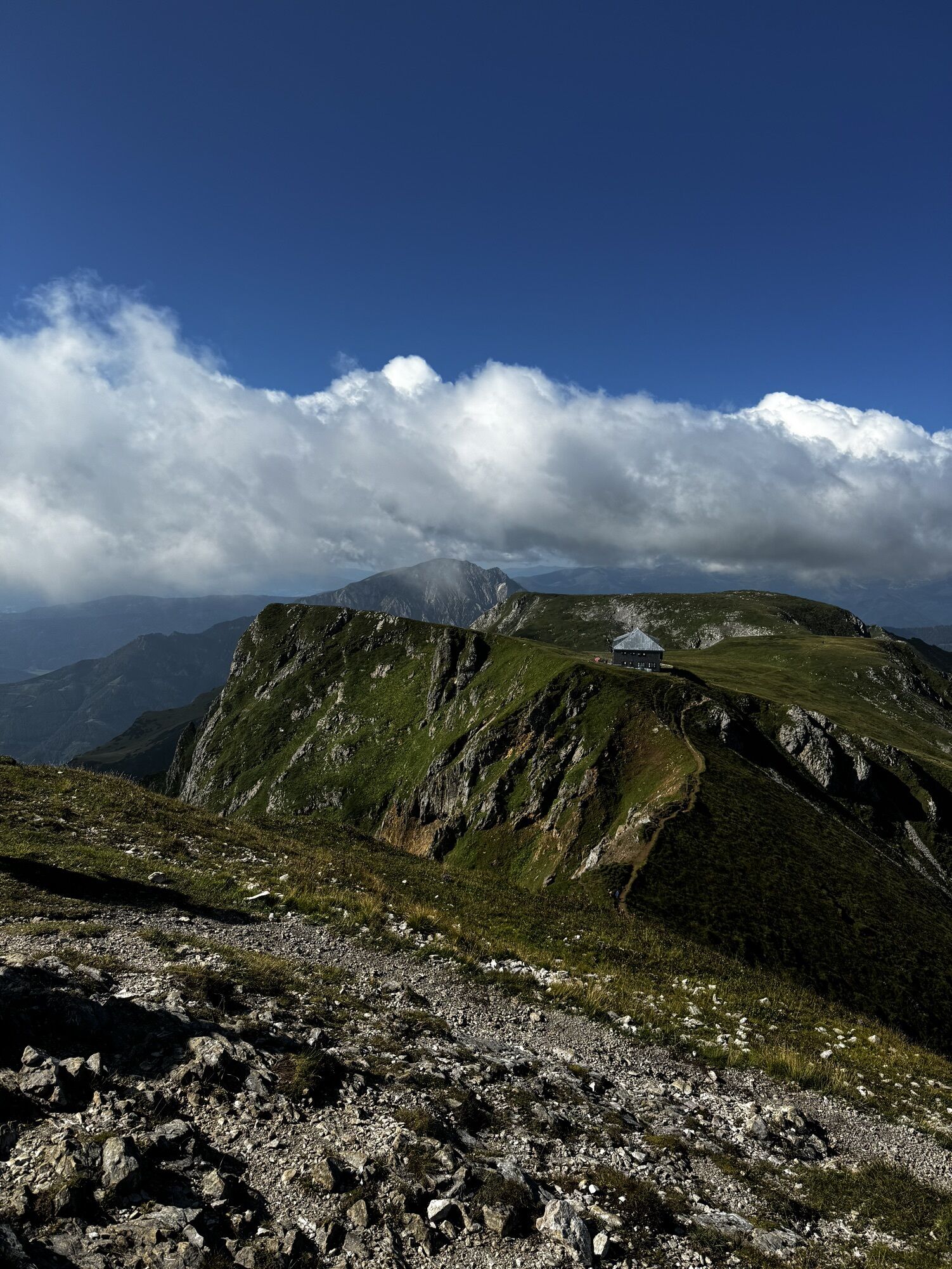
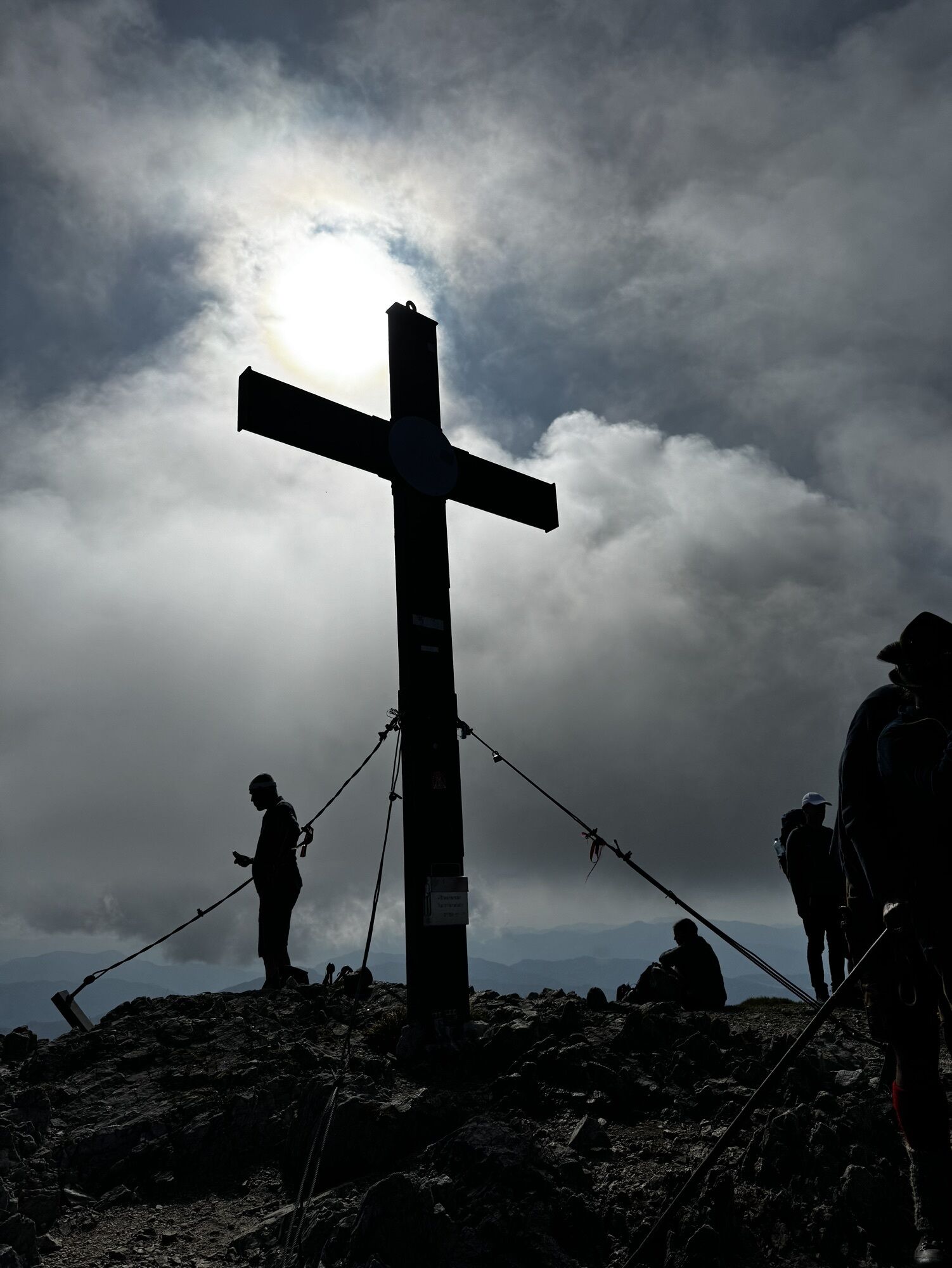
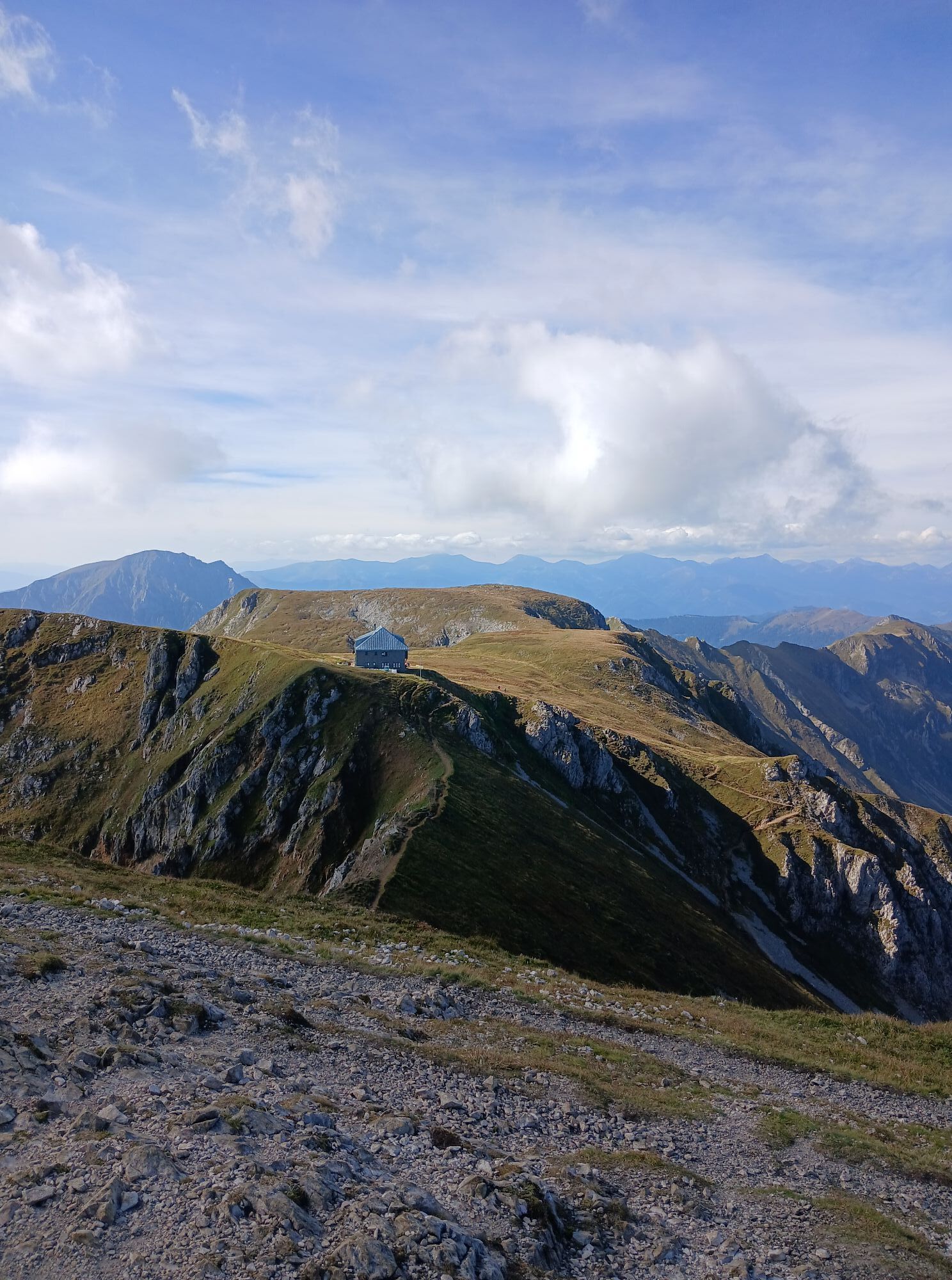
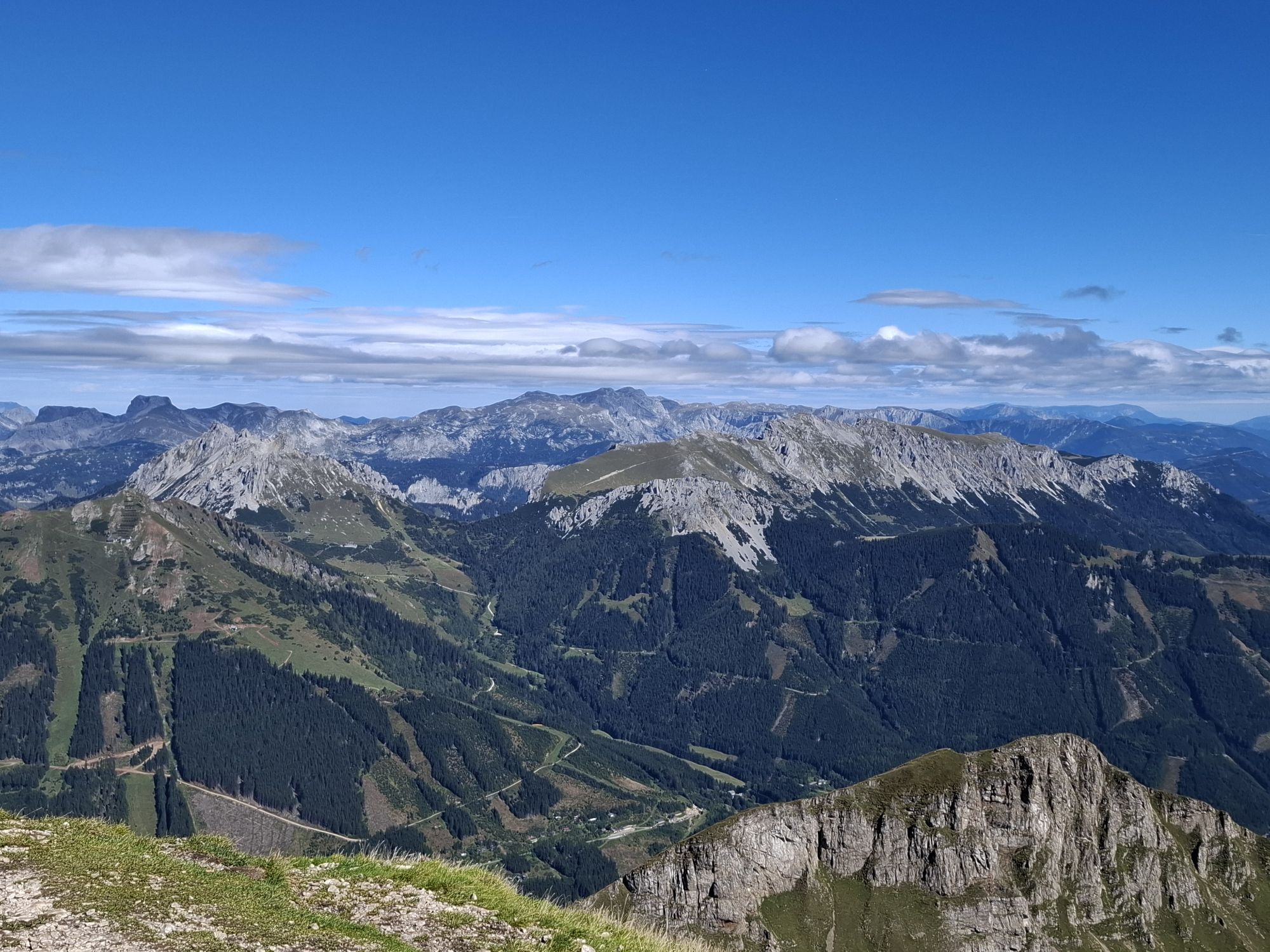
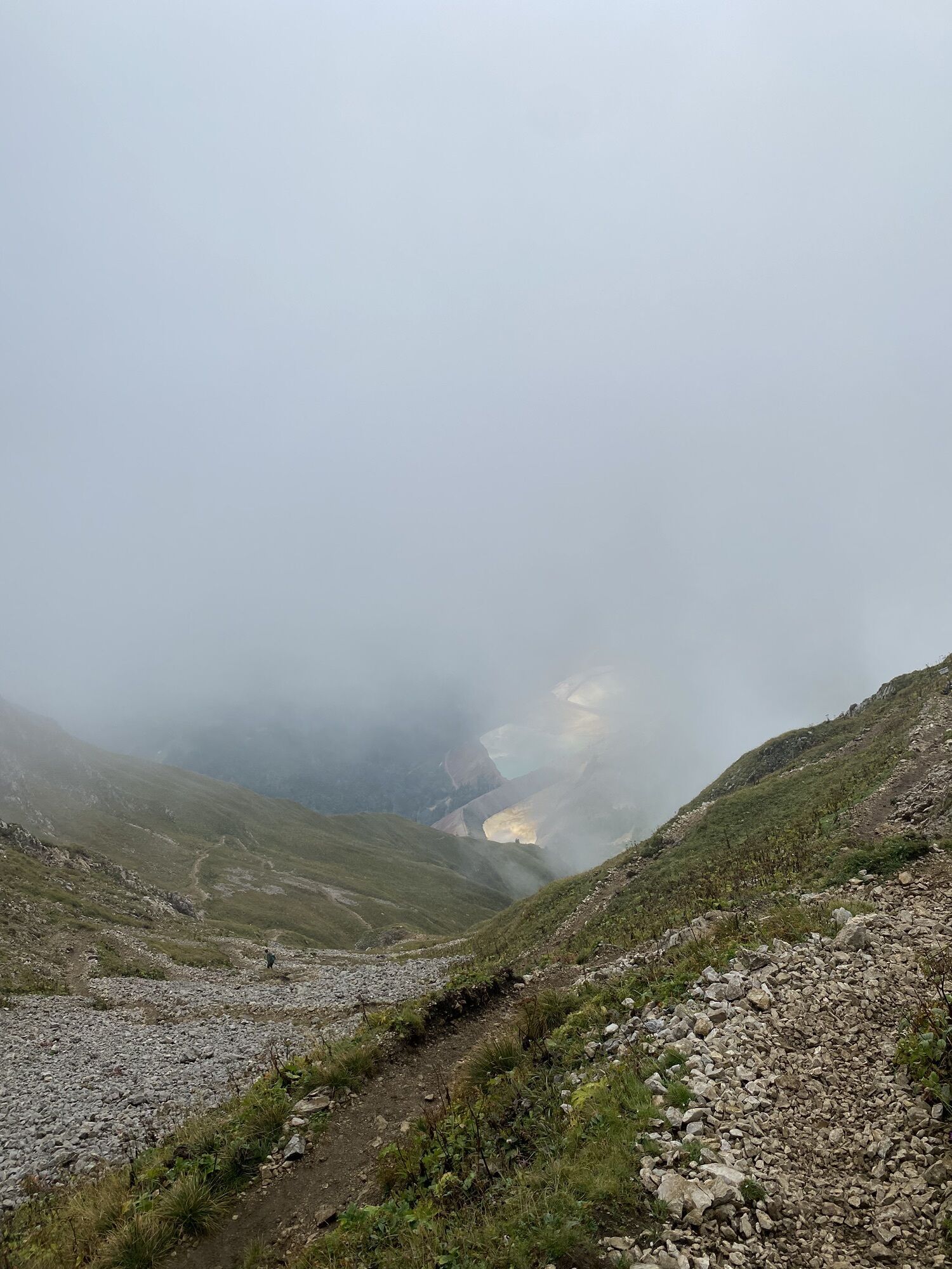
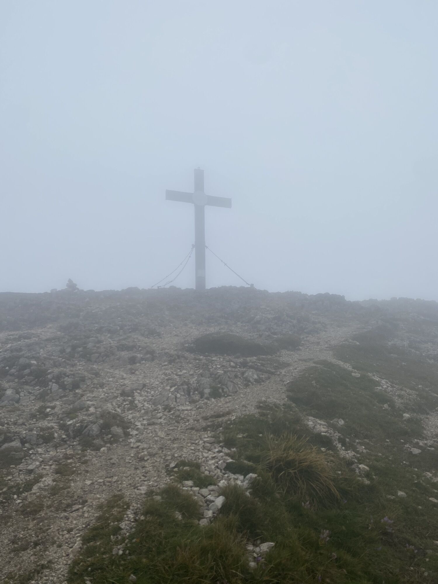
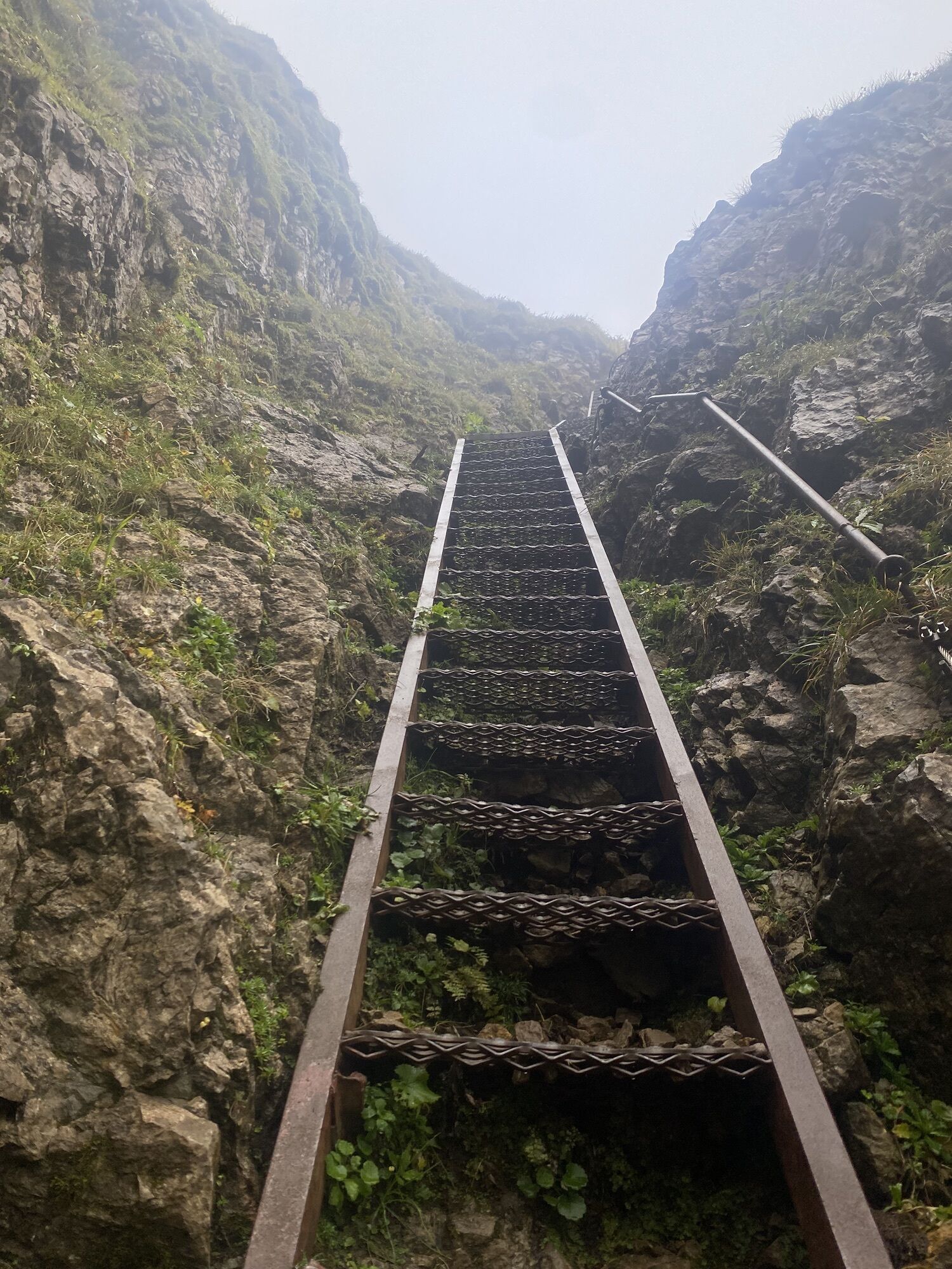
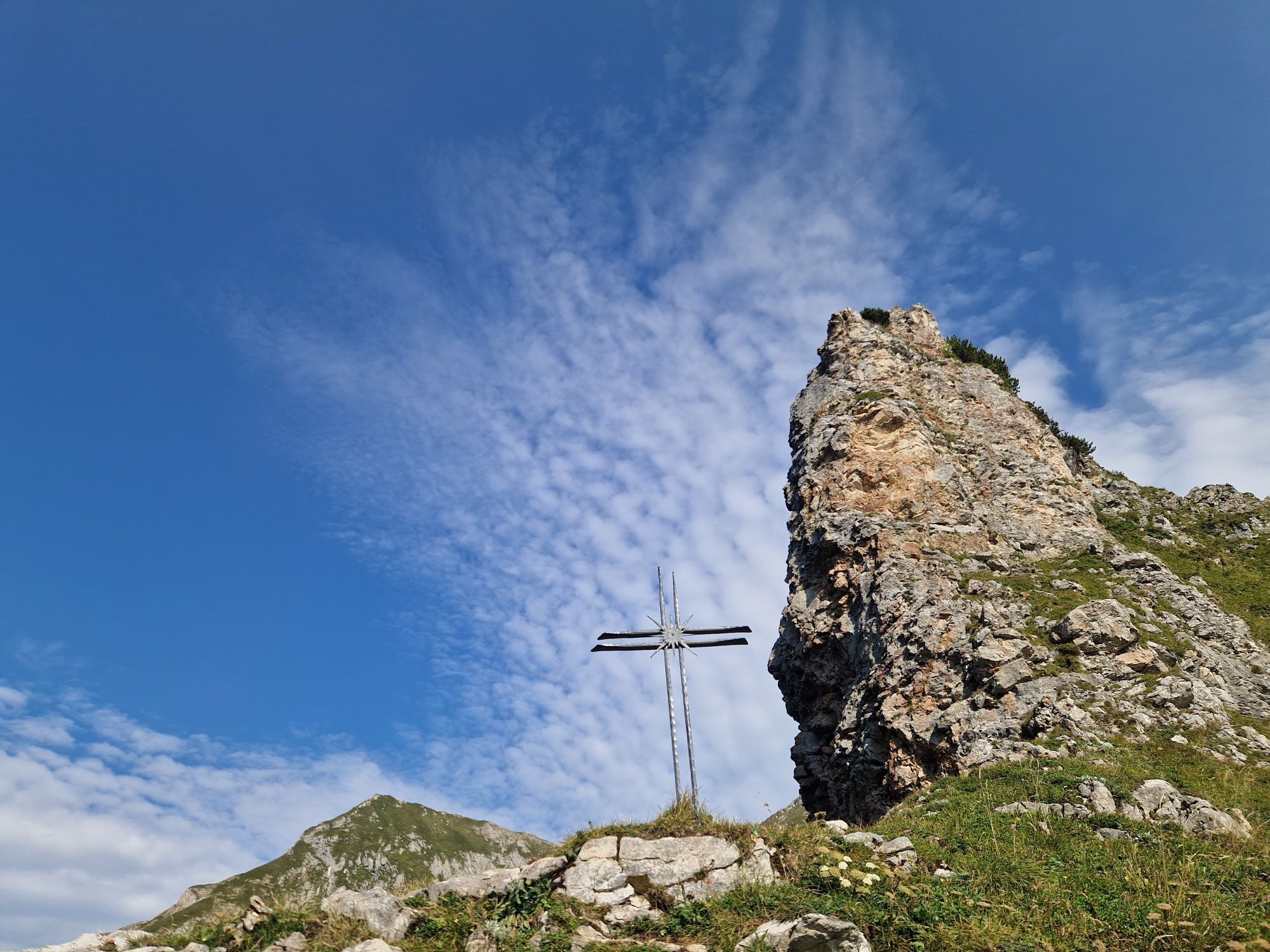
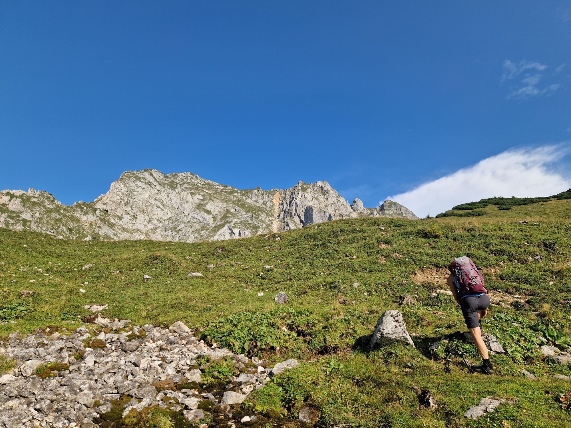
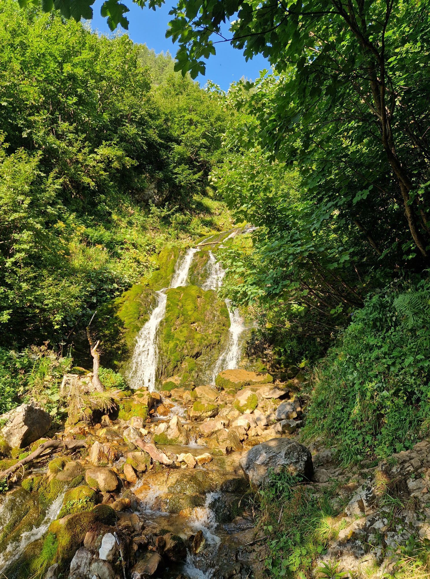
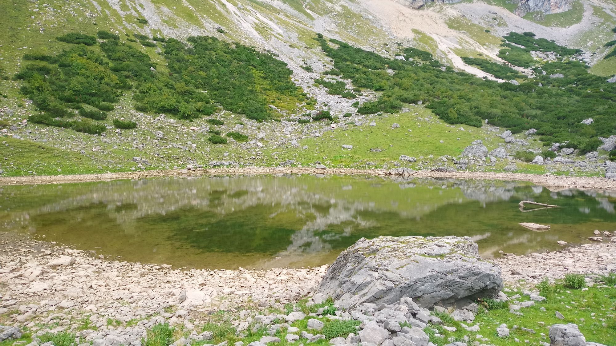
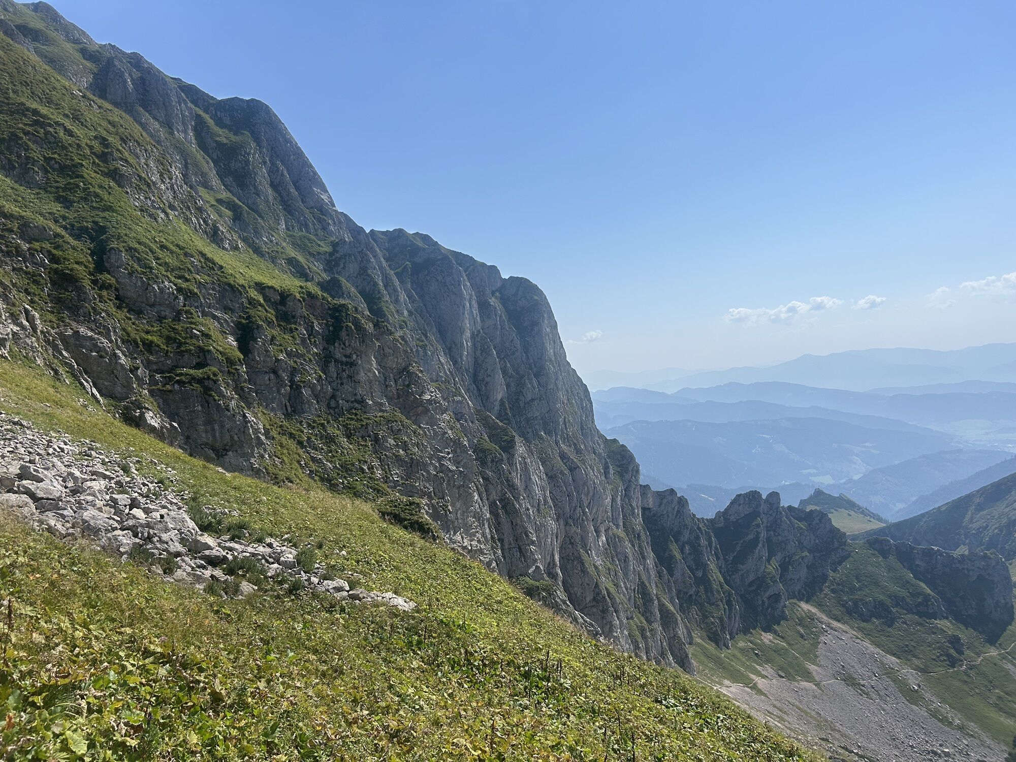
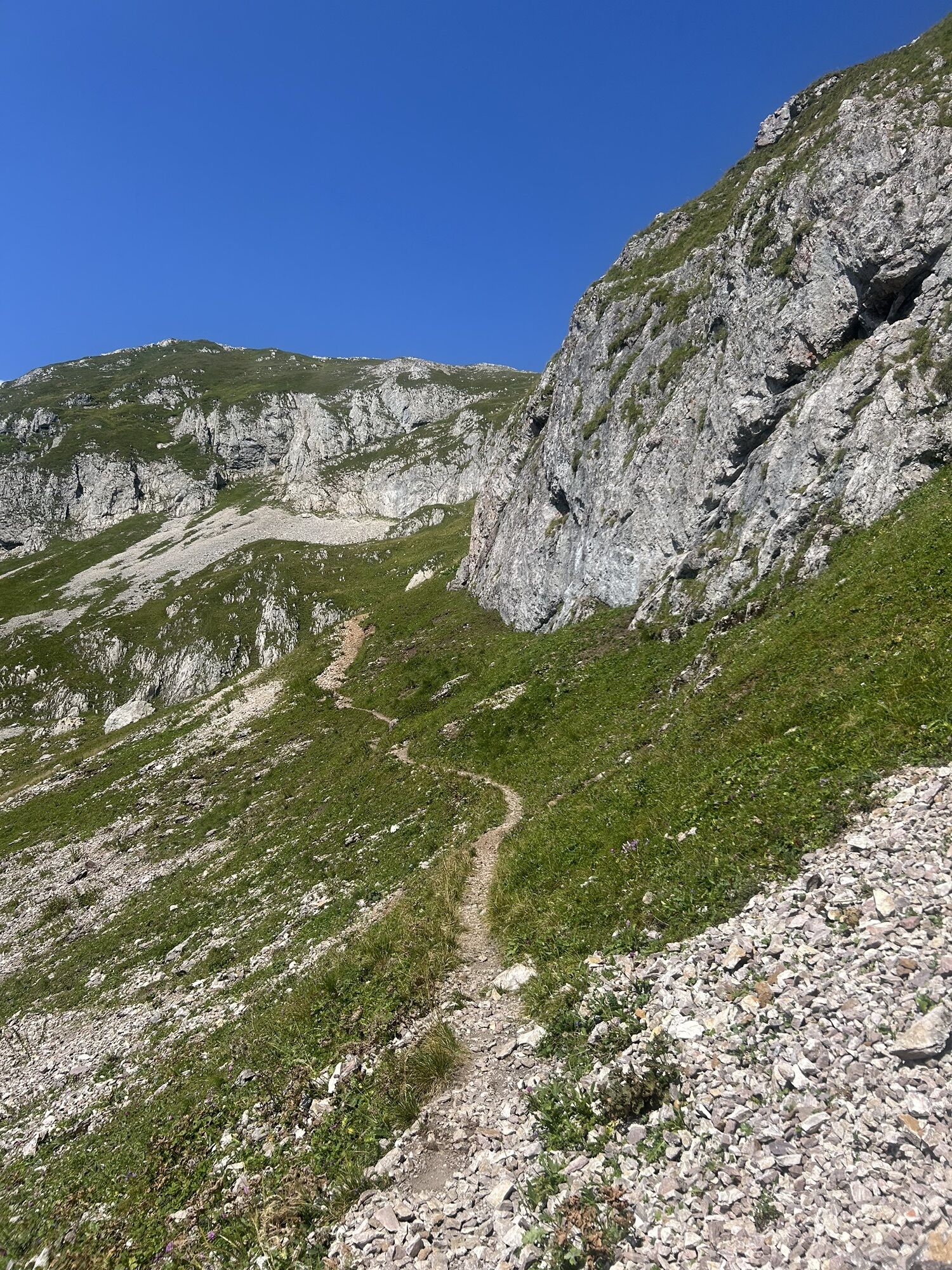
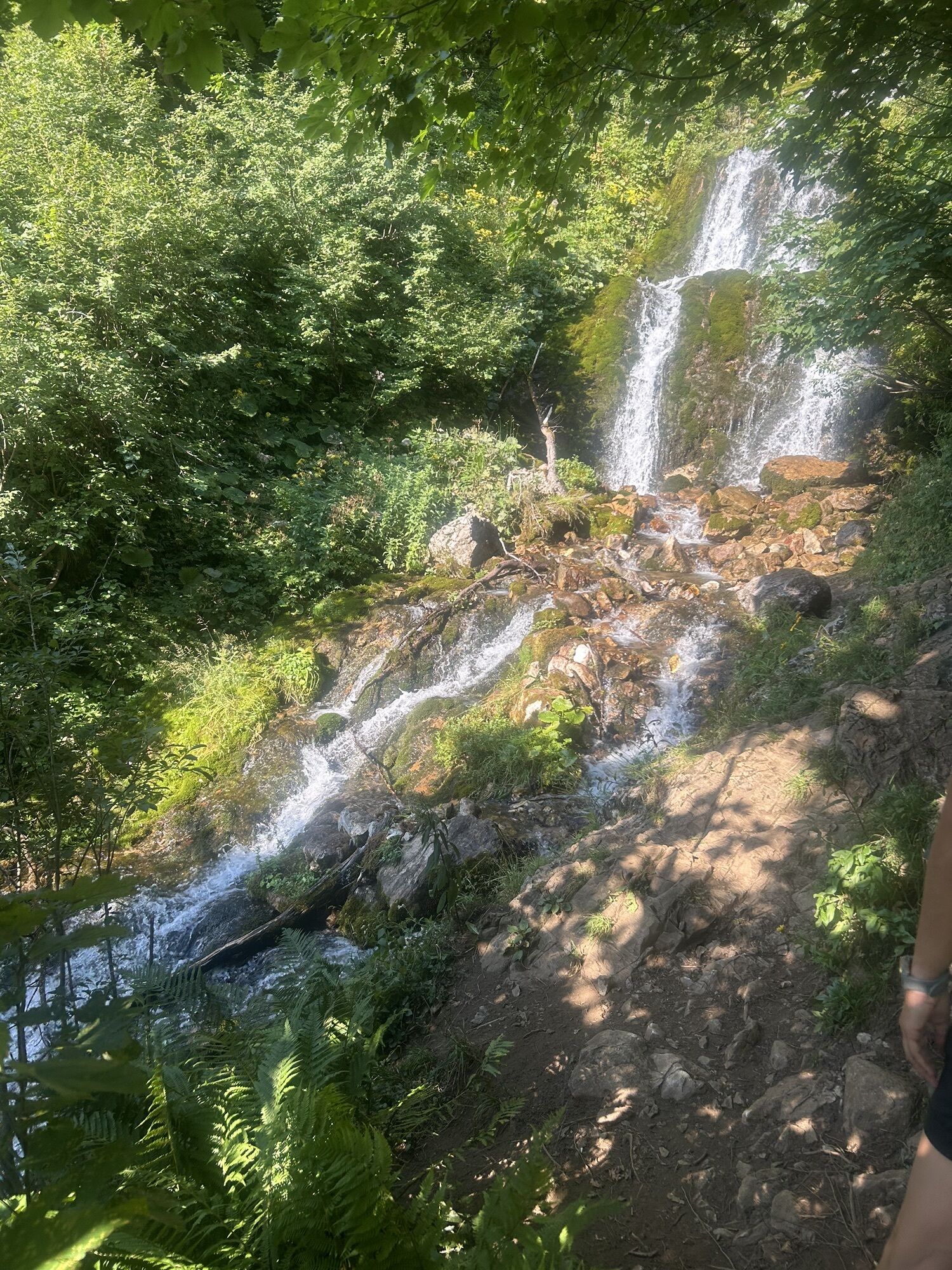
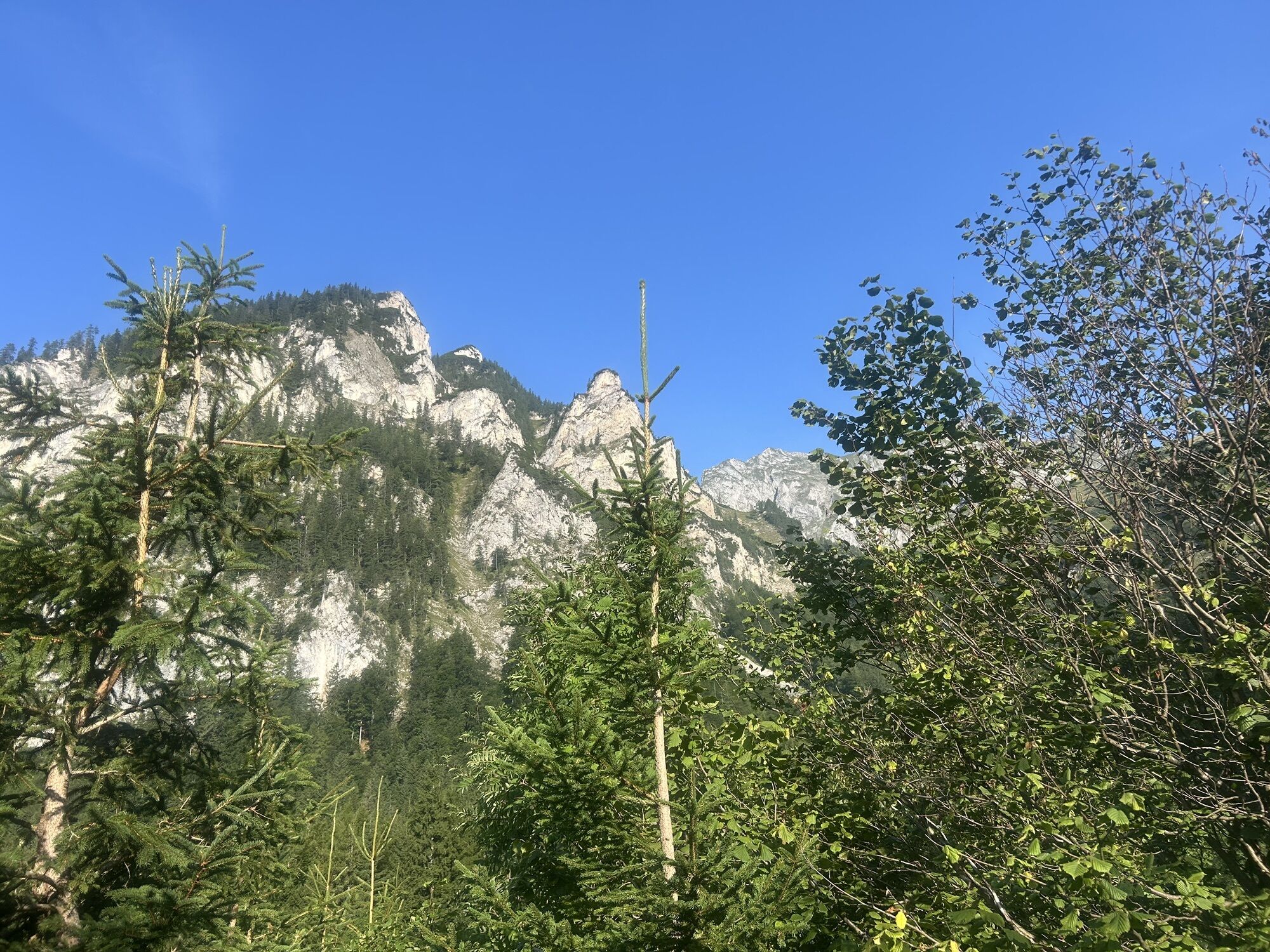
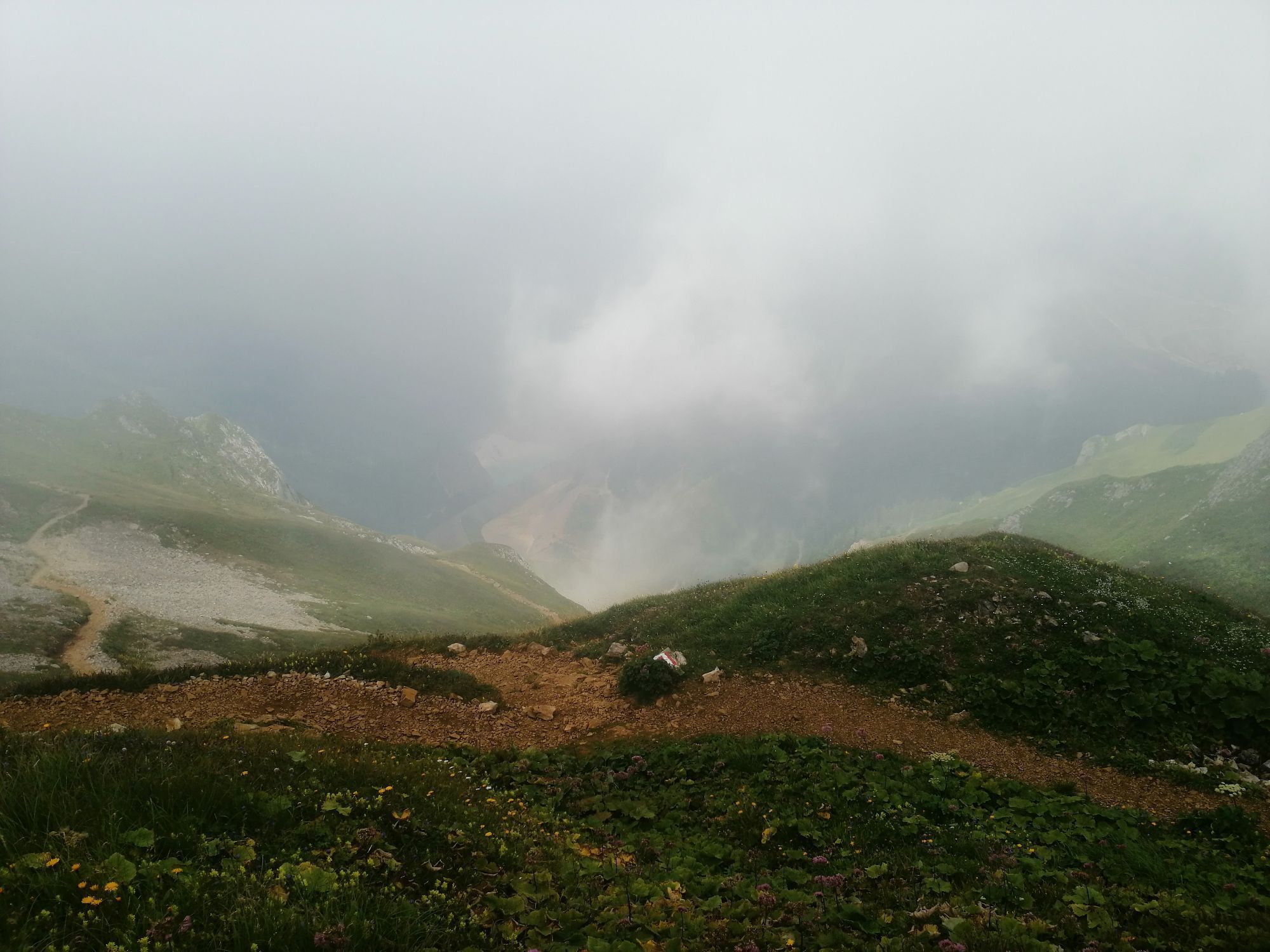
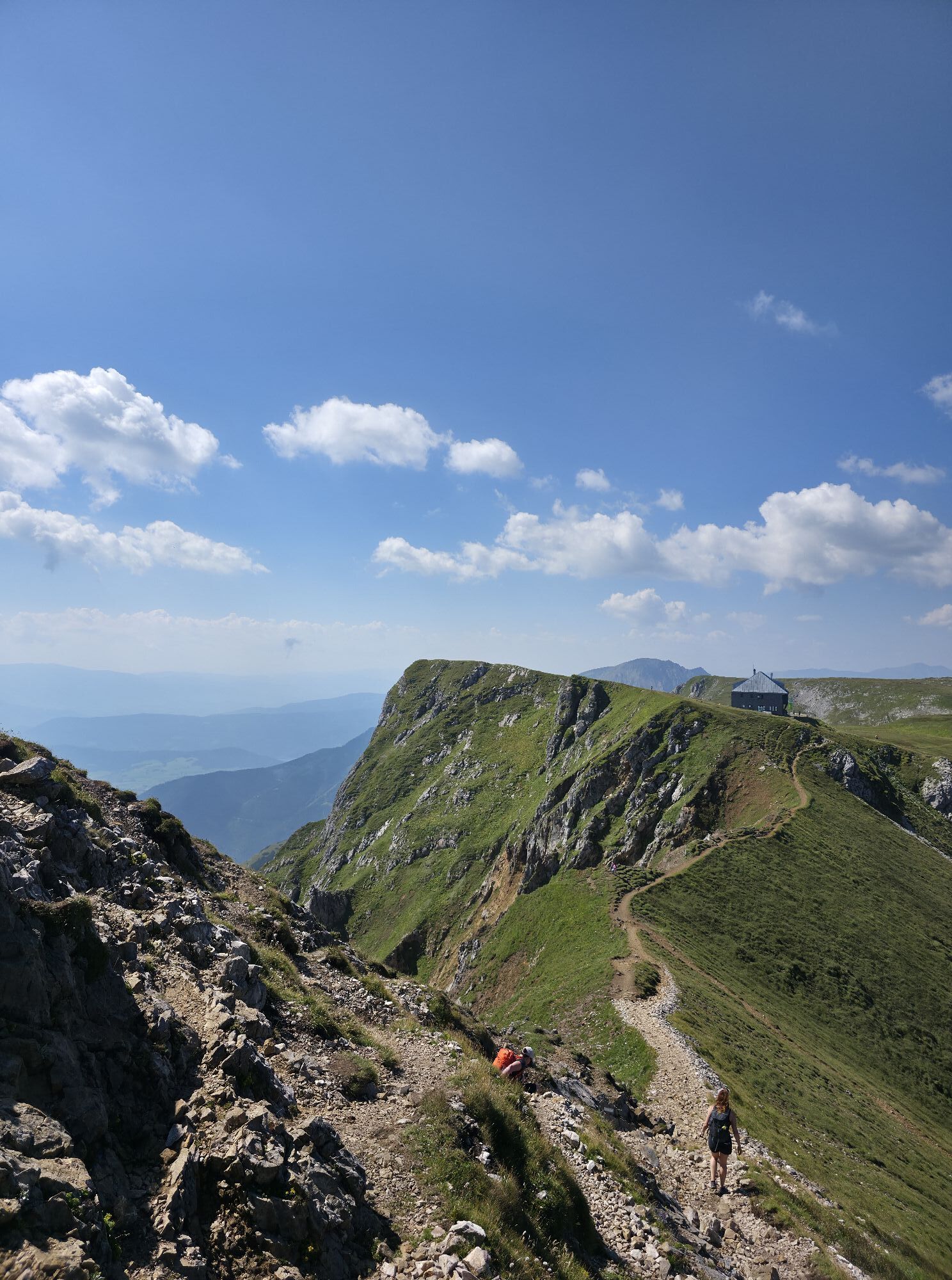
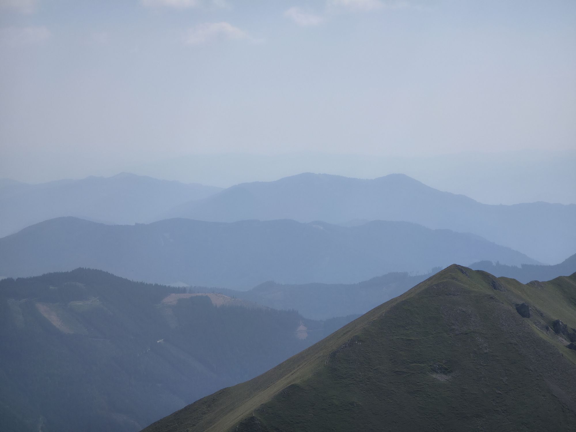
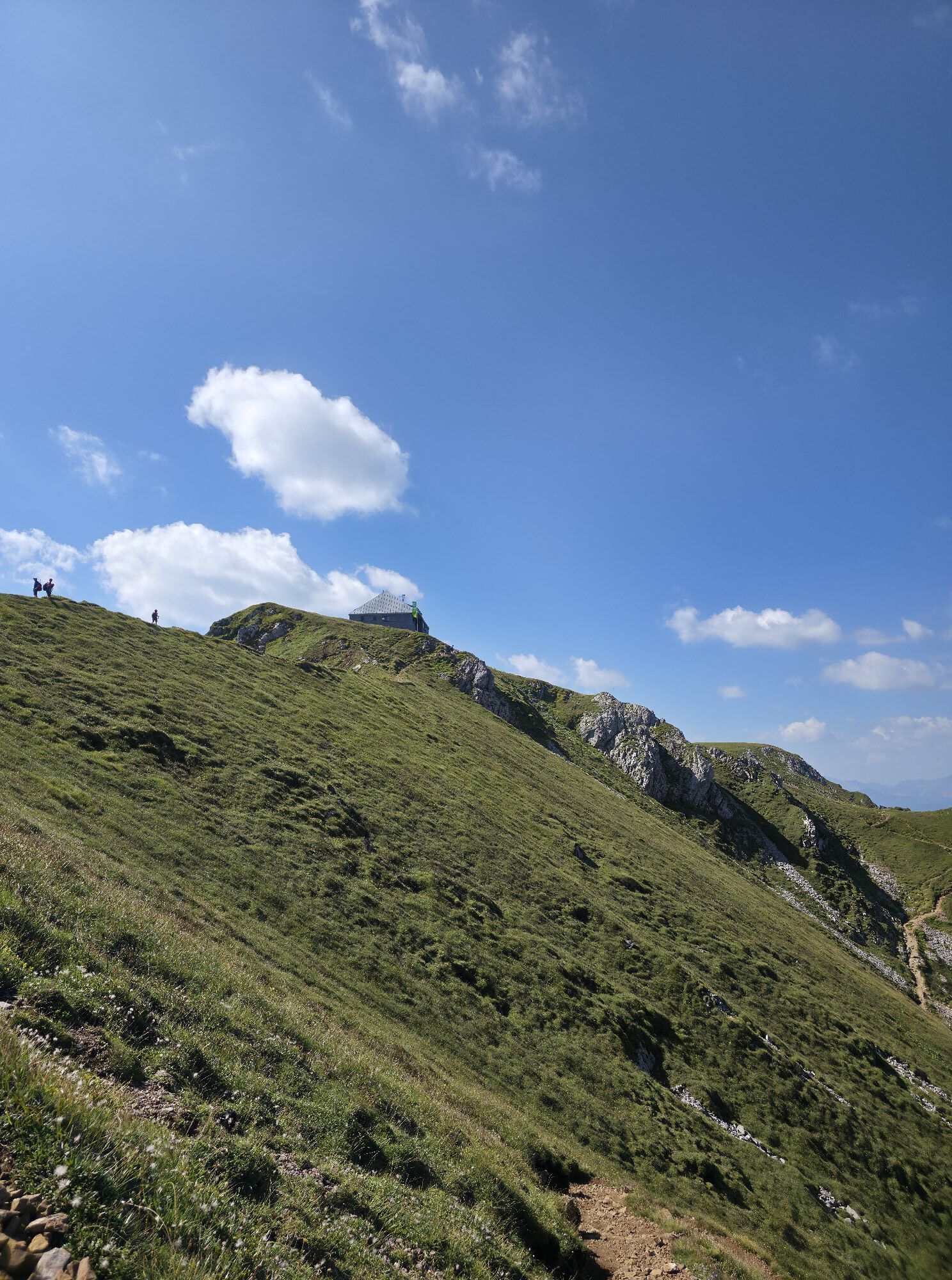
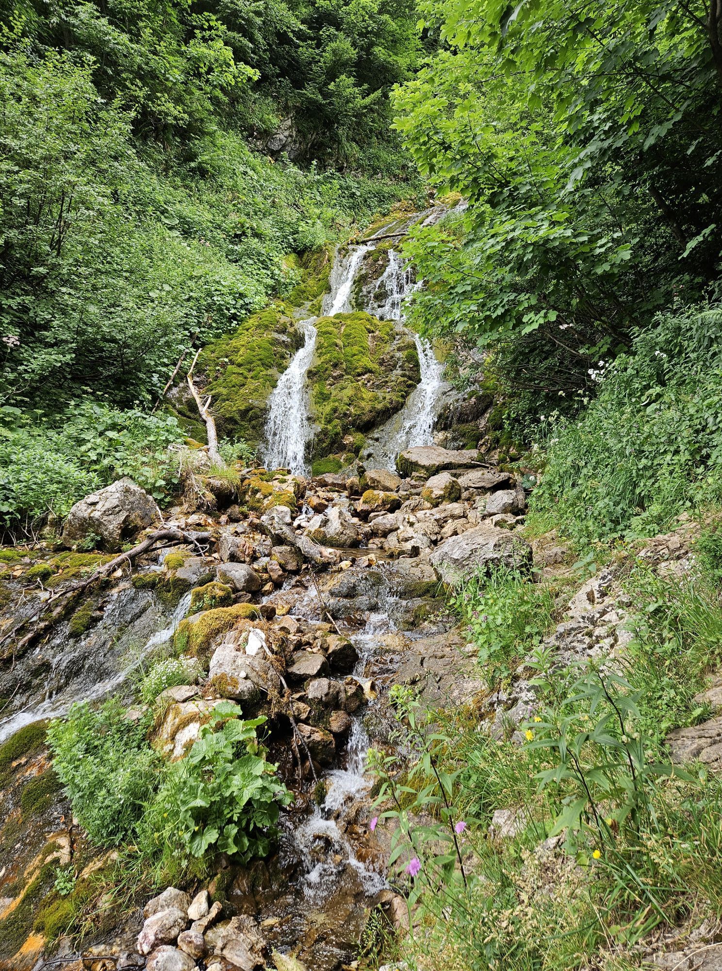
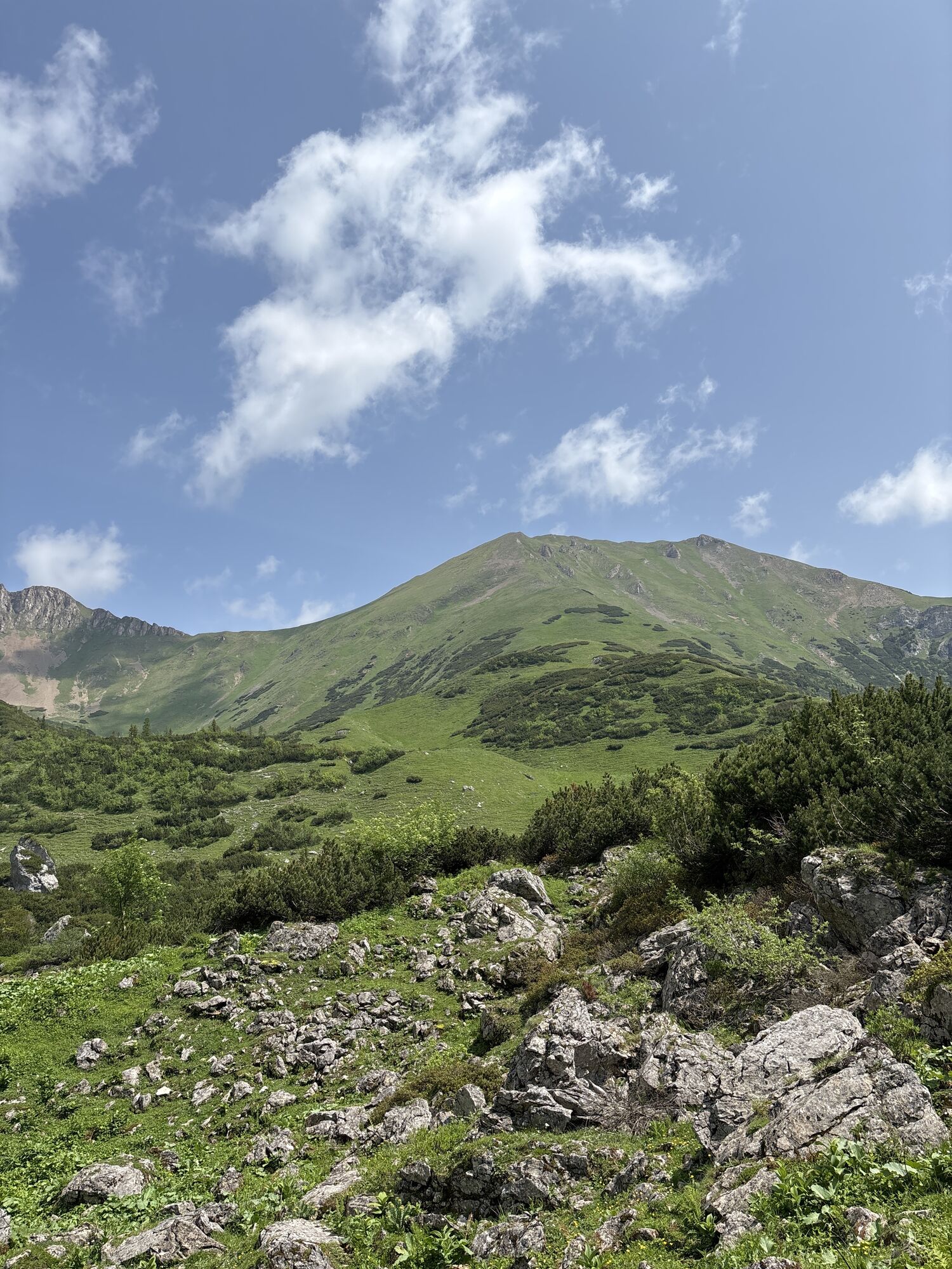
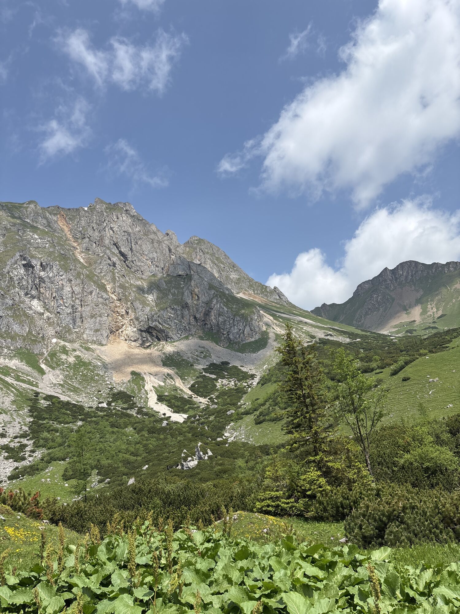
Photos from our users
-

 © UmfiCreated on 21.06.2025
 -

 © Peter LödlerCreated on 10.08.2024
 -
 © Peter LödlerCreated on 10.08.2024
 -
 © Peter LödlerCreated on 10.08.2024
 -
 © Peter LödlerCreated on 10.08.2024
 -
 © Peter LödlerCreated on 10.08.2024
 -
 © FlinkCreated on 18.10.2022
 -

 © BuschnegCreated on 17.10.2022
 -
 © Irmgard SchinnerlCreated on 22.09.2025
 -
 © Irmgard SchinnerlCreated on 22.09.2025
 -
 © Irmgard SchinnerlCreated on 22.09.2025
 -
 © Roman BrandtnerCreated on 18.09.2025
 -
 © Roman BrandtnerCreated on 18.09.2025
 -
 © Roman BrandtnerCreated on 18.09.2025
 -
 © Markus BischofCreated on 13.09.2025
 -
 © Markus BischofCreated on 13.09.2025
 -
 © Markus BischofCreated on 13.09.2025
 -
 © Markus BischofCreated on 13.09.2025
 -
 © Markus BischofCreated on 13.09.2025
 -

 © Peter MandlCreated on 27.08.2025
 -
 © Peter MandlCreated on 27.08.2025
 -
 © Peter MandlCreated on 27.08.2025
 -
 © Peter MandlCreated on 27.08.2025
 -
 © Peter MandlCreated on 27.08.2025
 -
 © Peter MandlCreated on 27.08.2025
 -
 © Viktor FresnerCreated on 24.08.2025
 -
 © Carola KremsCreated on 15.08.2025
 -
 © Carola KremsCreated on 15.08.2025
 -
 © Carola KremsCreated on 15.08.2025
 -
 © Carola KremsCreated on 15.08.2025
 -
 © Carola KremsCreated on 15.08.2025
 -
 © Carola KremsCreated on 15.08.2025
 -
 © Carola KremsCreated on 15.08.2025
 -
 © Carola KremsCreated on 15.08.2025
 -
 © franzbacCreated on 11.08.2025
 -
 © franzbacCreated on 11.08.2025
 -
 © Aleksei VasilevCreated on 10.08.2025
 -
 © Aleksei VasilevCreated on 10.08.2025
 -
 © Aleksei VasilevCreated on 10.08.2025
 -
 © Aleksei VasilevCreated on 10.08.2025
 -
 © Aleksei VasilevCreated on 10.08.2025
 -
 © bfink41Created on 10.08.2025
 -
 © Birgit GruberCreated on 05.07.2025
 -
 © Birgit GruberCreated on 05.07.2025
 -
 © Birgit GruberCreated on 05.07.2025
 -
 © Birgit GruberCreated on 05.07.2025
 -
 © Mandy Friedrich 1Created on 09.06.2025
 -
 © Mandy Friedrich 1Created on 09.06.2025


No reviews yet
Popular tours in the neighbourhood
-
4.6
Messnerin
mediumHiking 8.90 km -
4.9
Rundwanderung von Tragöß auf die Sonnschienalm
mediumHiking 17.4 km -
4.3
Trofaiach: Gößeck
mediumHiking 11.6 km -
4.8
Präbichl - Polster - Leobner Hütte - Präbichl
mediumHiking 9.49 km -
4.9
Immergrün auf steilem Berg - Eisenerzer Reichenstein ab Hirnalm - Eine Genusstour
mediumHiking 16.6 km -
4.8
/\ TAC Spitze, Griesmauer und Polster
heavyHiking 9.82 km -
4.8
Jassing - Sonnschienalm Steiermark/Österreich
lightHiking 7.01 km -
4.8
Eisenerzer Reichenstein
mediumHiking 9.01 km -
4.8
"Messnerin 1835m" mit gewaltigen 360 Grad Panorama
mediumHiking 16.4 km -
4.3
Eisenerzer Reichenstein vom Präbichl
mediumHiking 10.3 km
Hiking & Tracking

Over 550.000 tour suggestions, detailed maps and an intuitive route planner make the app a must-have for all nature enthusiasts.

Don't miss out on offers and inspiration for your next holiday
Subscribe to the newsletter
Error
An error has occurred. Please try again.
Thank you for your registration
Your e-mail address has been added to the mailing list.
Tours throughout Europe
Austria
Switzerland
Germany
Italy
Slovenia
France
Netherlands
Belgium
Poland
Liechtenstein
Czechia
Slovakia
Spain
Croatia
Bosnia and Herzegovina
Luxembourg
Andorra
Portugal
Iceland
United Kingdom
Ireland
Greece
Albania
North Macedonia
Malta
Norway
Montenegro
Moldova
Kosovo
Hungary
San Marino
Romania
Estonia
Latvia
Belarus
Cyprus
Lithuania
Serbia
Bulgaria
Monaco
Denmark
Sweden
Finland