


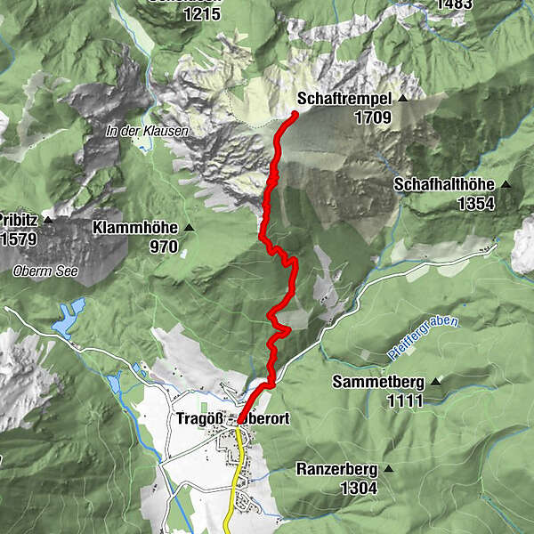
Tour data
4.42km
804
- 1,805m
1,004hm
1,004hm
04:00h
- Brief description
-
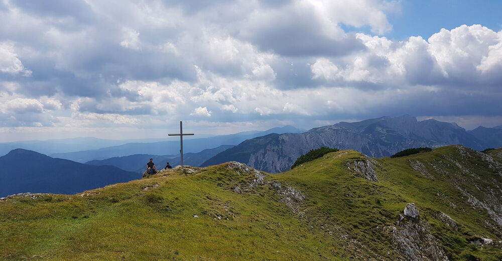
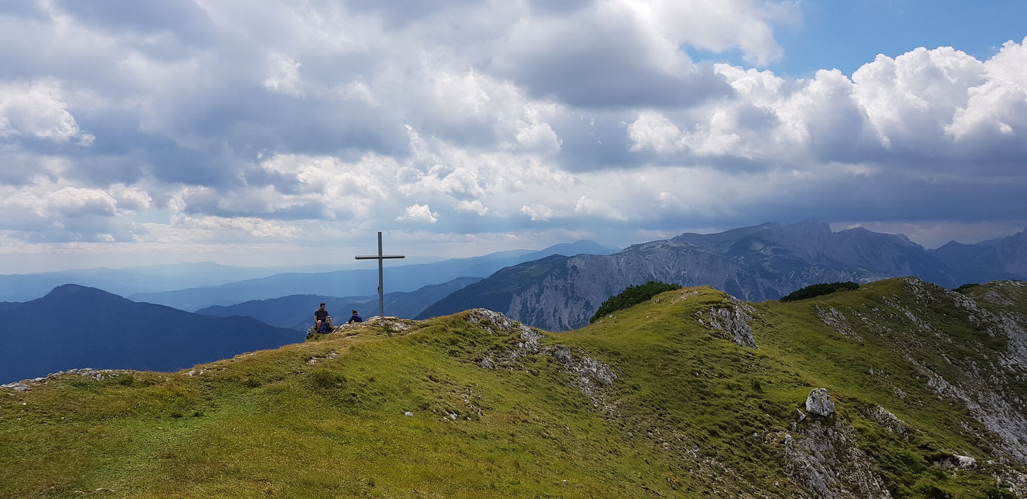
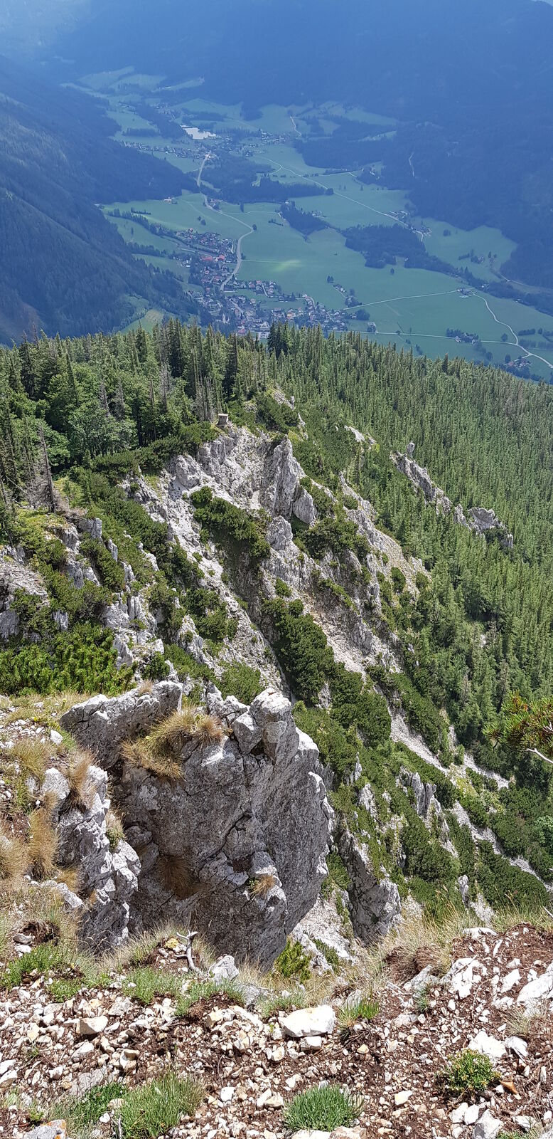
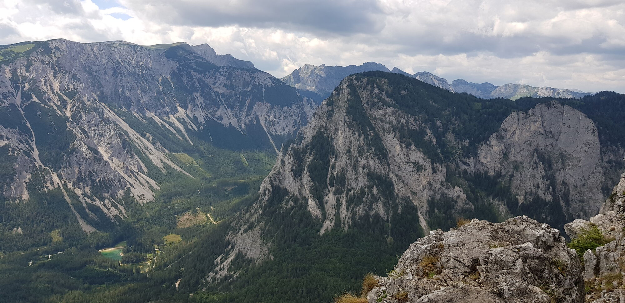
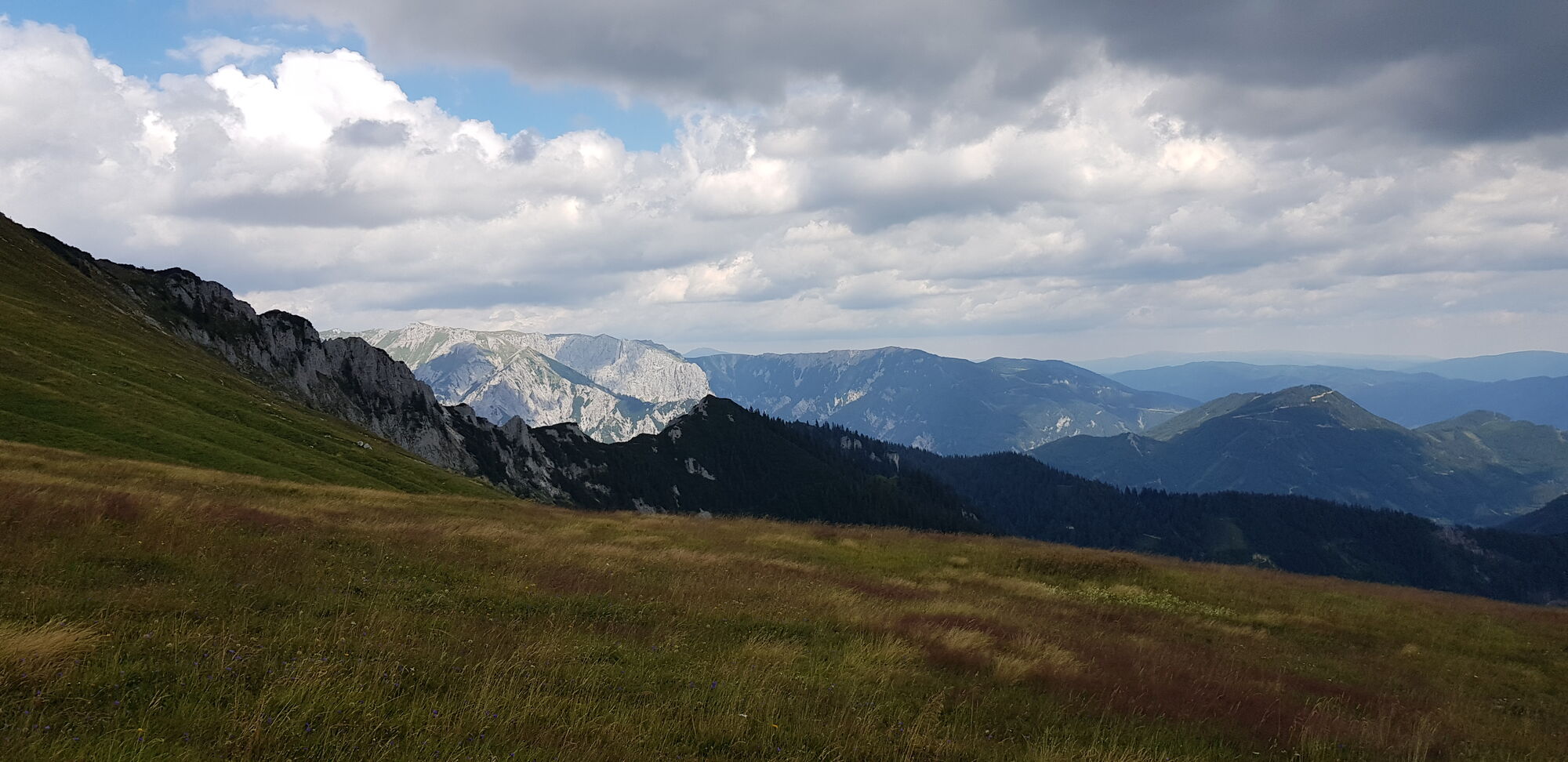
Mittelschwere Wanderung. Steiler Aufstieg im Wald und am Ausstieg zum grasigen Gipfelhang. Sehr guter Zustand des Wanderwegs (Erde - Steine Mix) und optimale Markierung.
- Difficulty
-
medium
- Rating
-
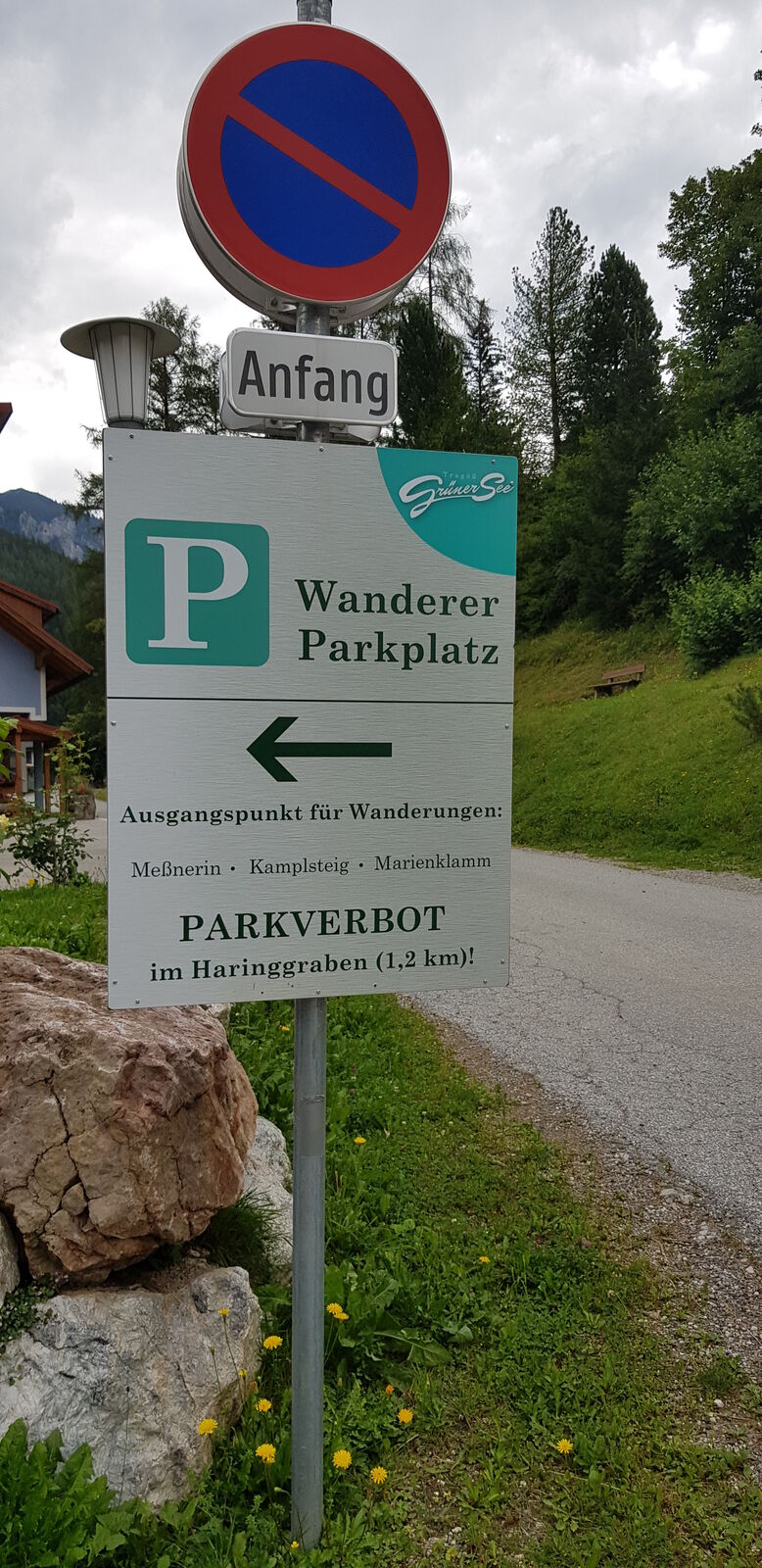
- Starting point
-
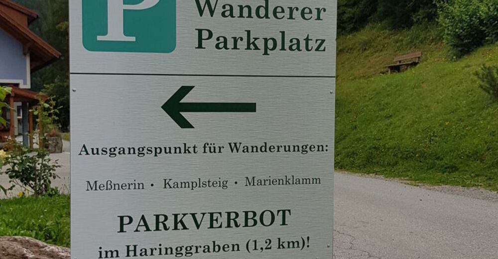
Tragöß Oberort - Wanderparkplatz im Ort
- Route
-
Tragöß - OberortAntoniuskapelle0.0 kmAmbrosi Bründl1.4 kmWindscharte2.9 kmGrüner See-Blick2.9 kmGrüner See-Blick3.0 kmMessnerin (1,835 m)4.3 km
- Best season
-
JanFebMarAprMayJunJulAugSepOctNovDec
- Highest point
- 1,805 m
- Rest/Retreat
-
Wirtshäuser in Tragöß Oberort.
- Ticket material


- Info phone
-
tv.tragoess.gruener.see@utanet.at, Tel.: +43 3868 8330
- Link
GPS Downloads


Trail conditions
Asphalt
Gravel
Meadow
Forest
Rock
Exposed
Other tours in the regions
-
Erzberg Leoben
2530
-
Hochschwab
1272
-
Tragöß - Grüner See
471


 & Kaiserschild (rechts)")


