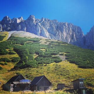
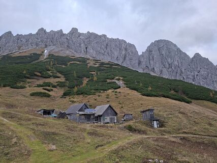
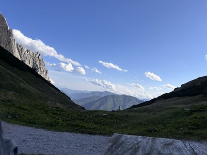
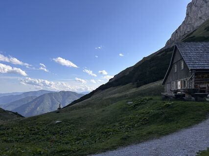
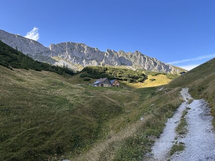
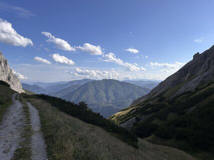
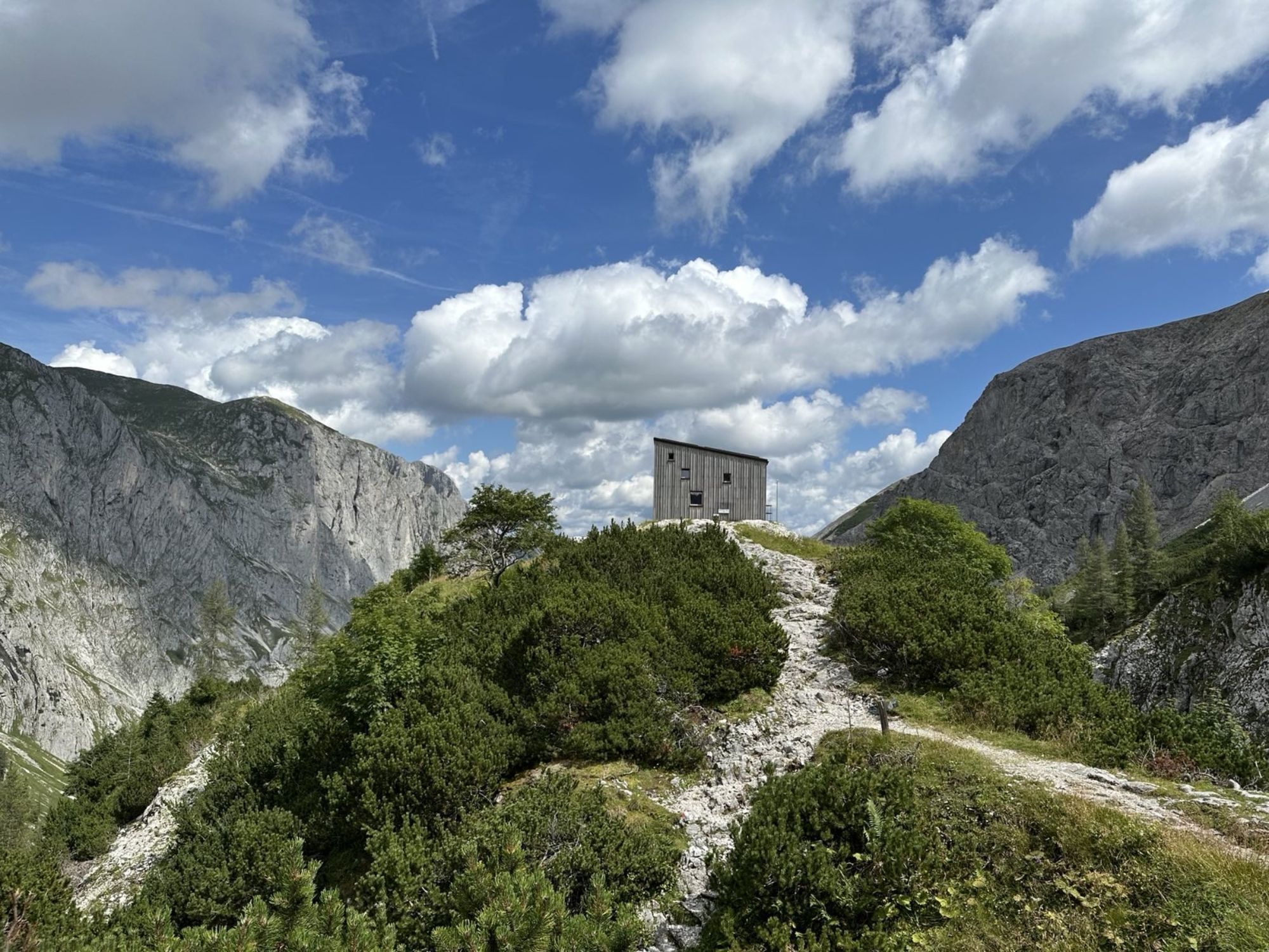
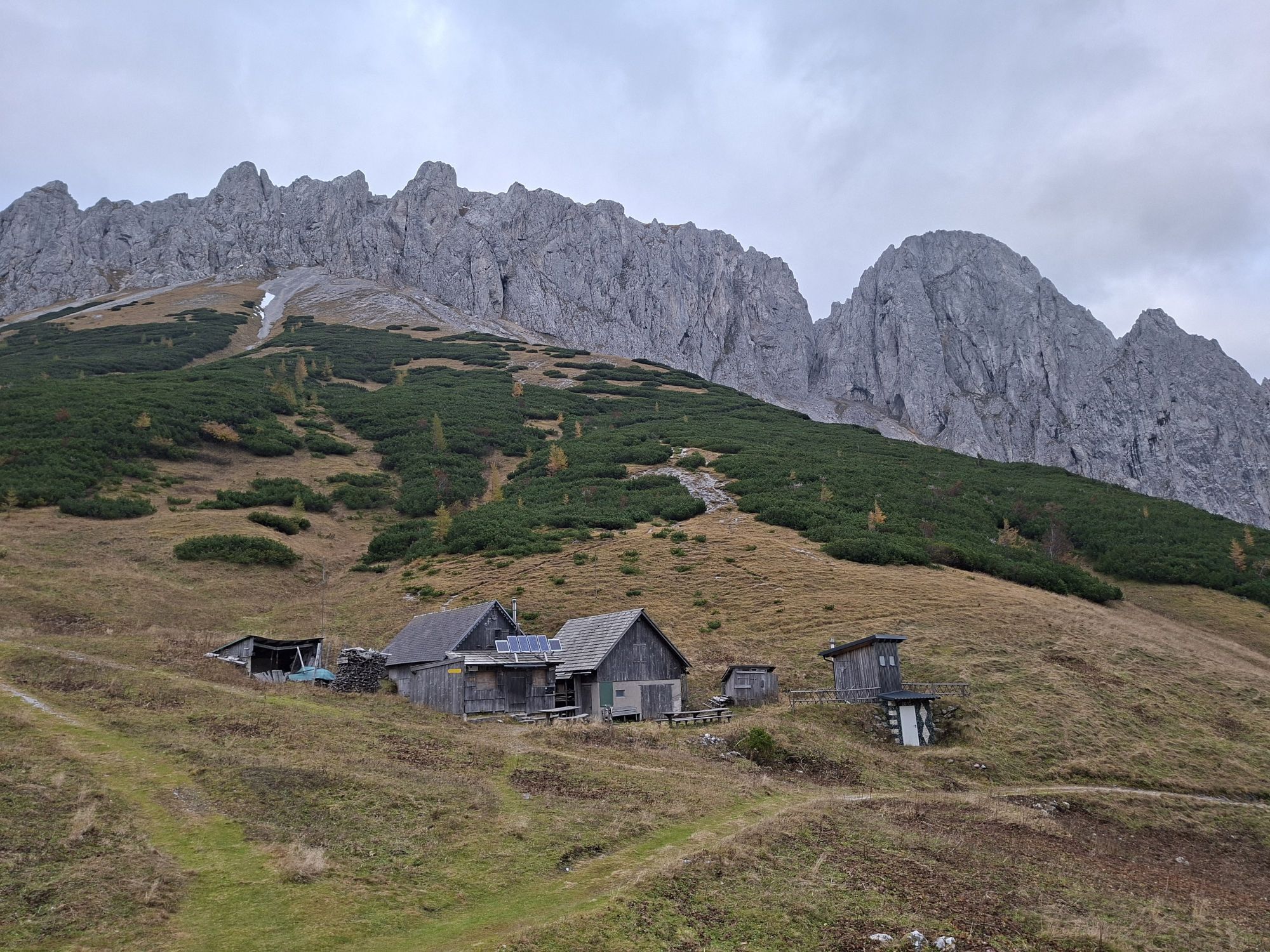
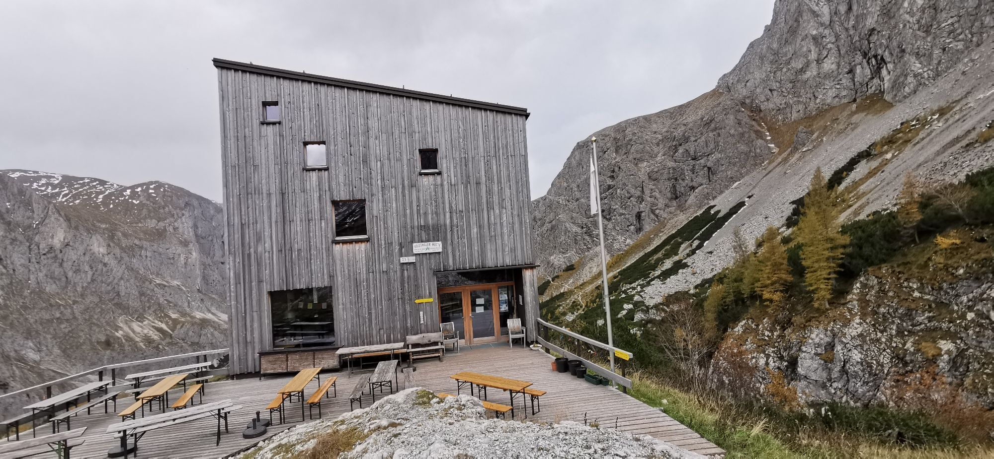
Voisthaler Hütte
Mountainbike
Navigate
Navigate
Get this tour on your mobile
Voisthaler Hütte
Mountainbike
14.70
km
Scan the QR code and start navigation in the bergfex app

Hiking & Tracking


Distance
14.70
km
Duration
07:02
h
Ascent
1,288
m
Sea level
697 -
1,649
m
Track download
Voisthaler Hütte
Mountainbike
14.70
km


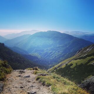
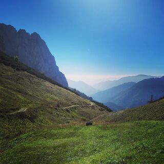
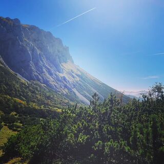
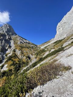
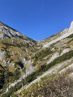
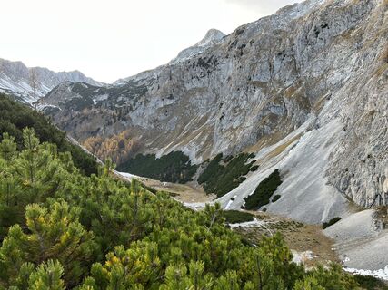
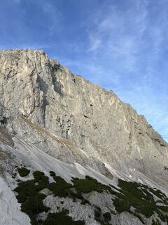
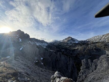
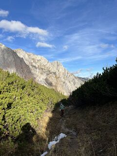
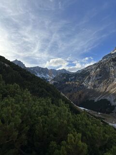
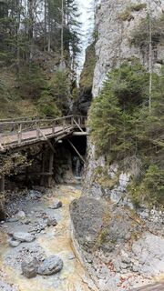
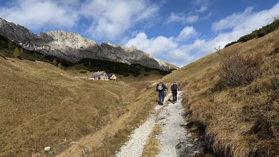
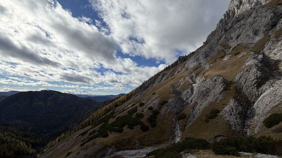
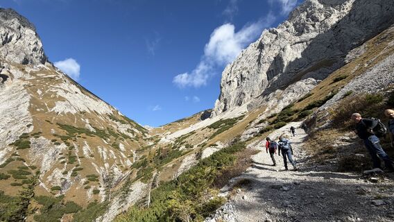
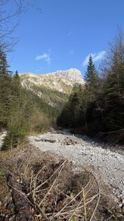
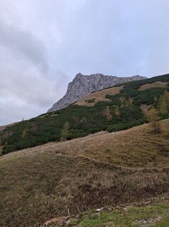
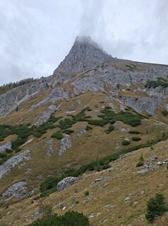
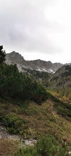
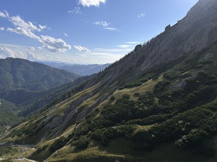
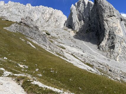
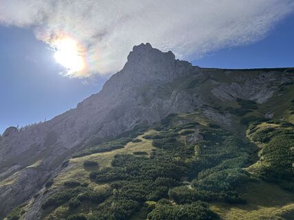
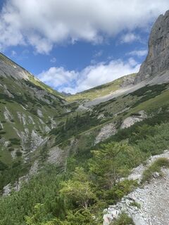
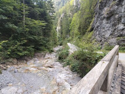
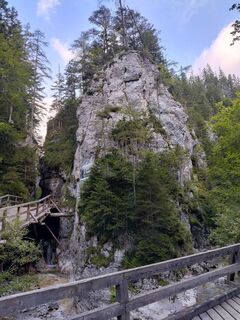
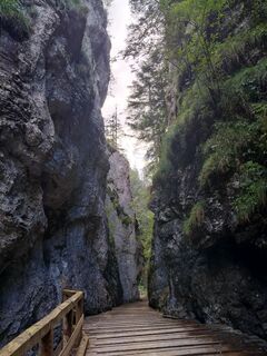
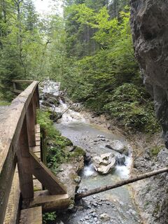
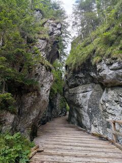
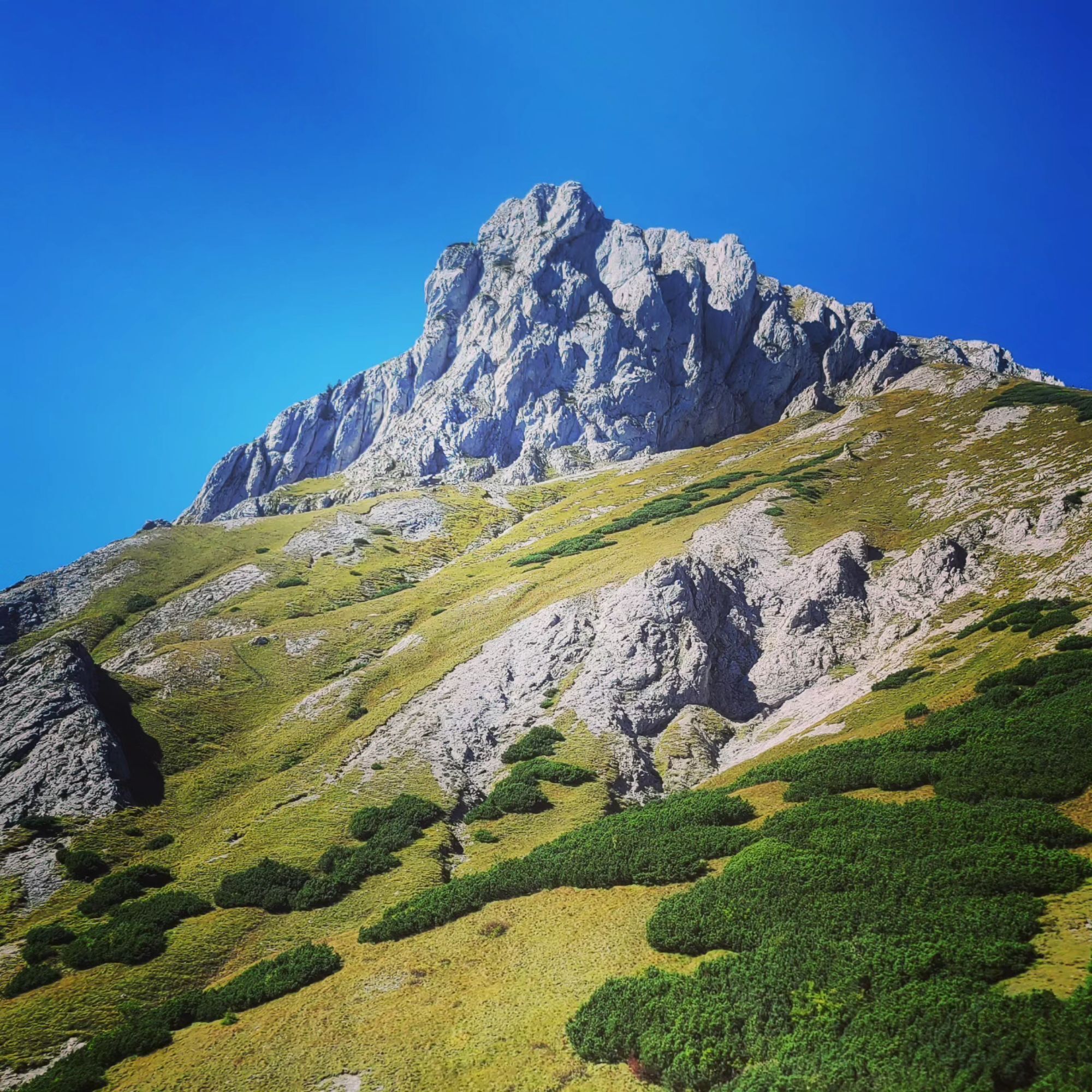
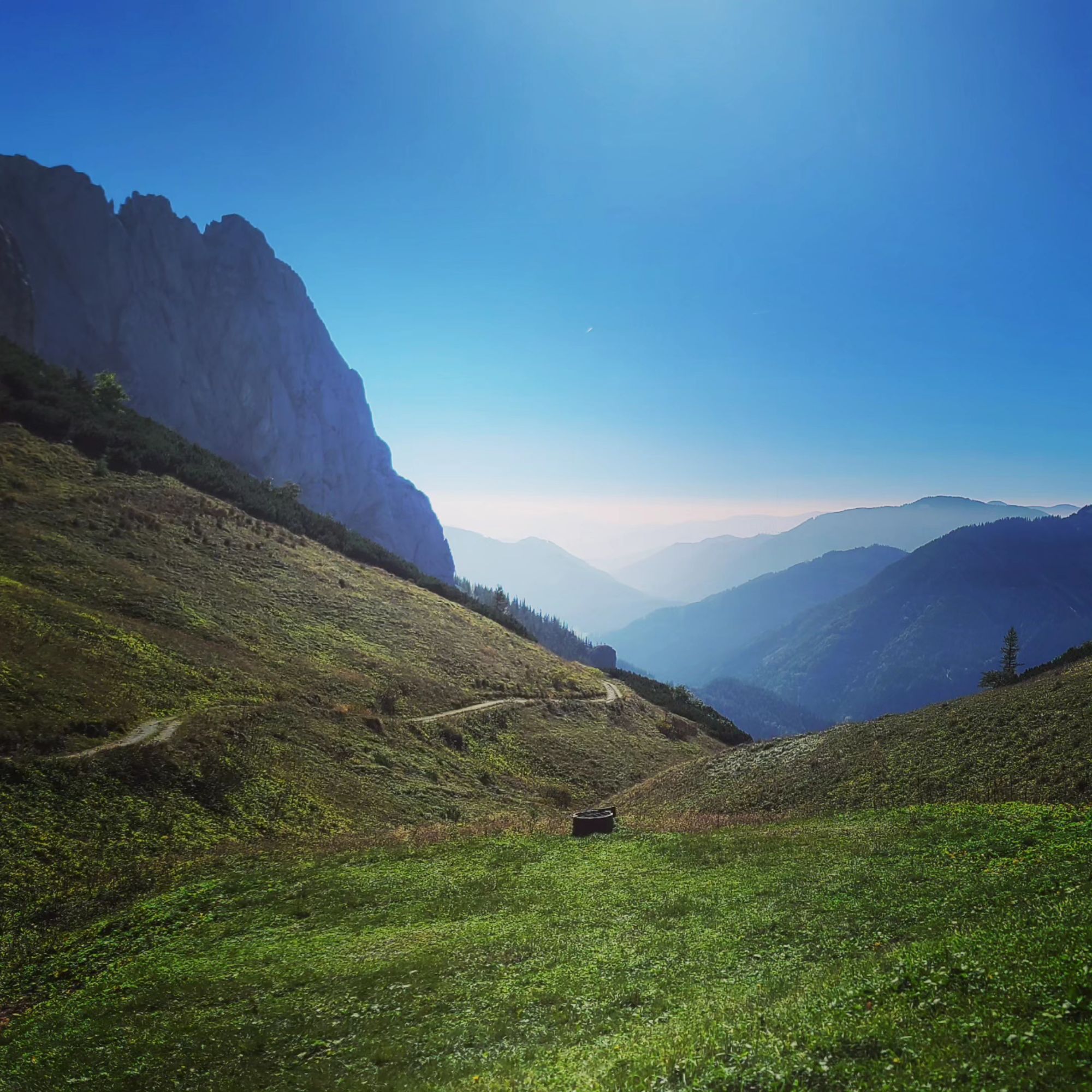
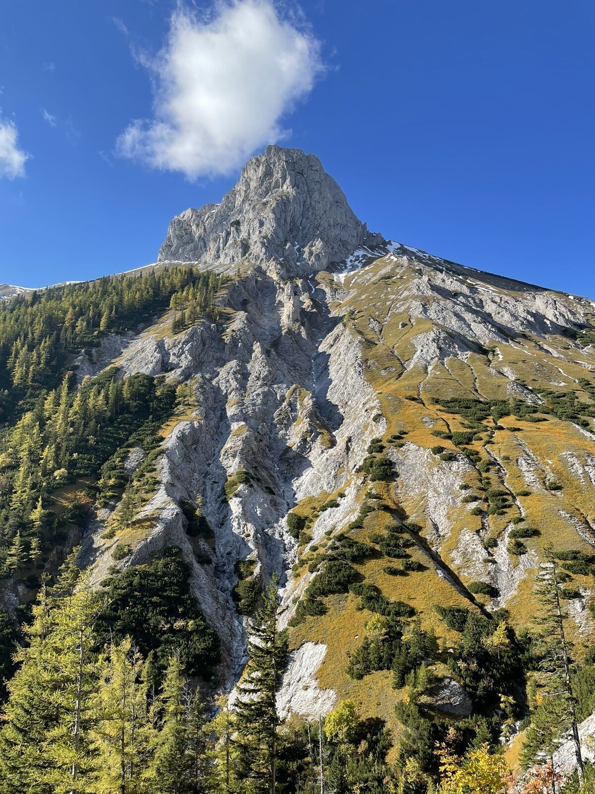
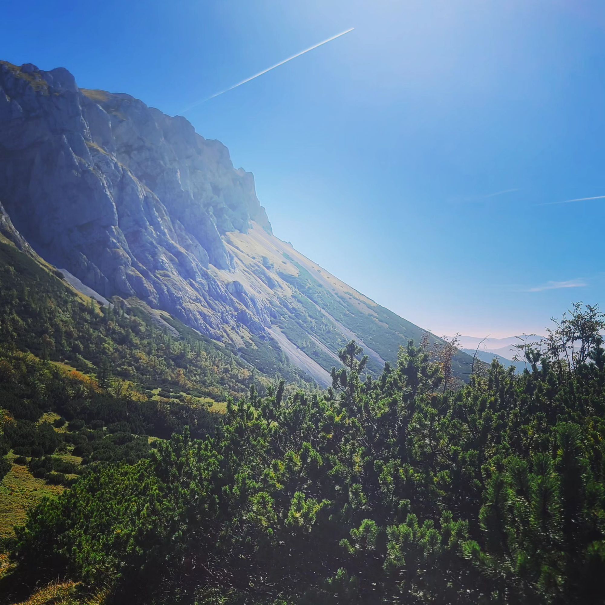
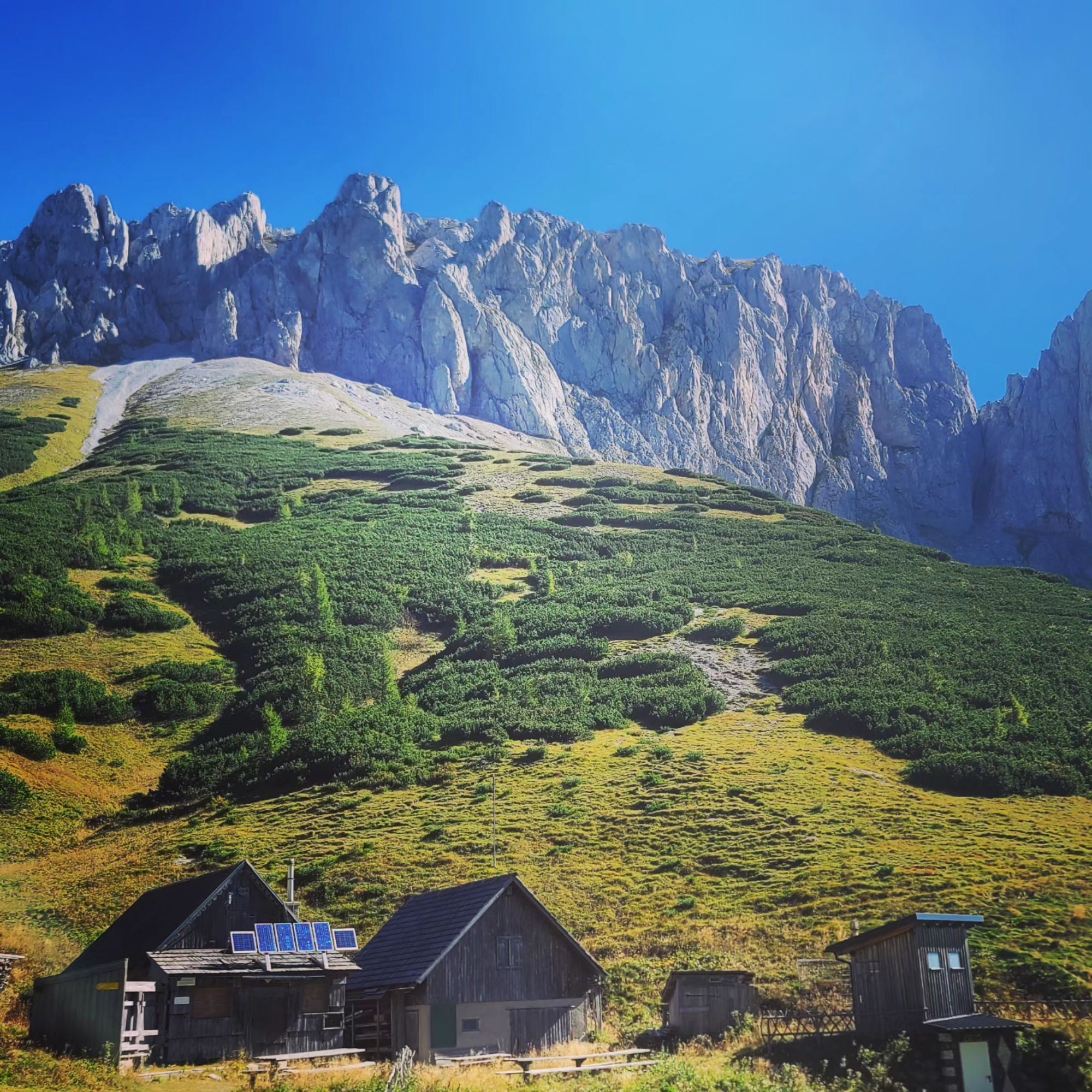
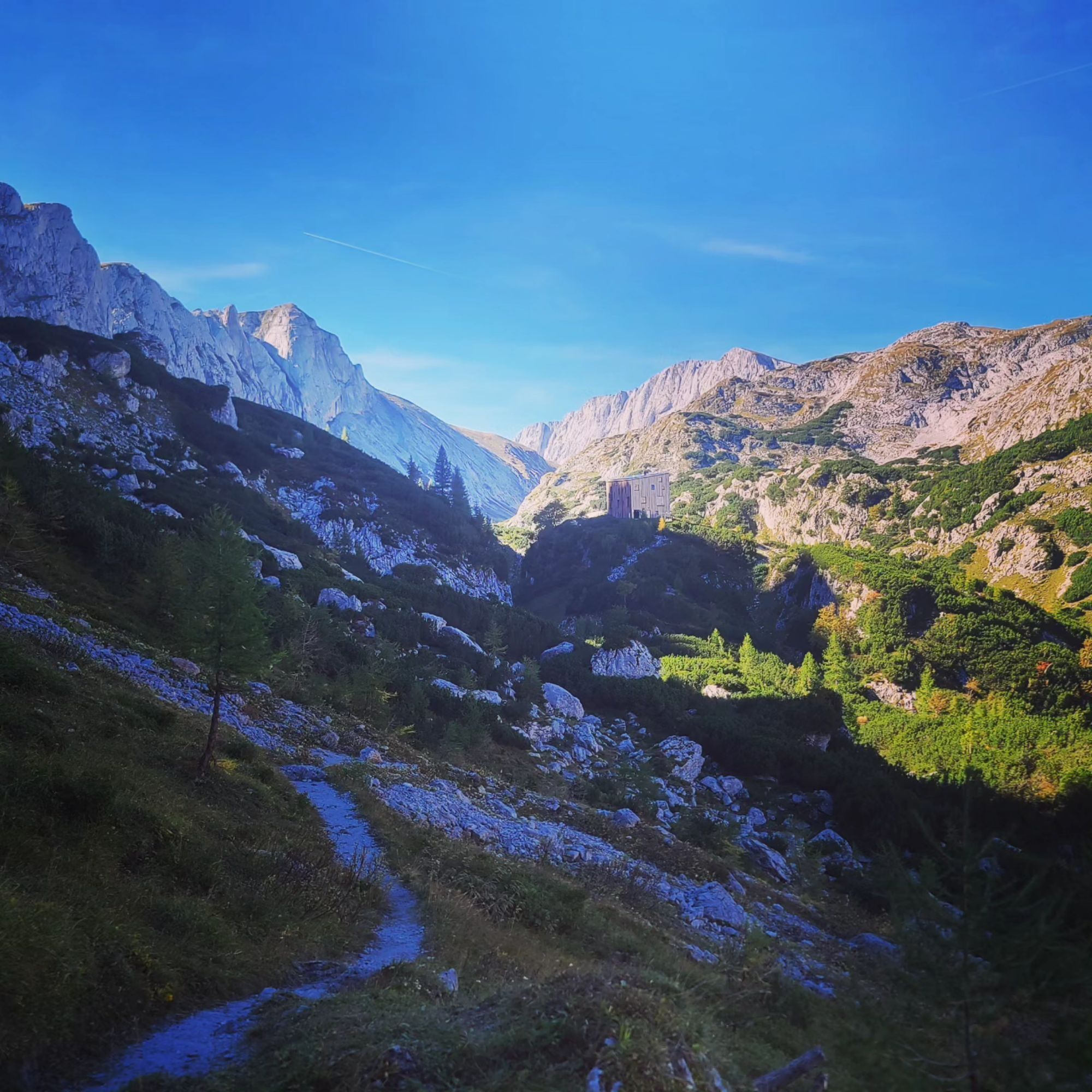
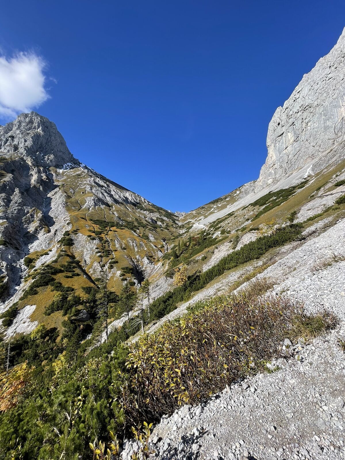
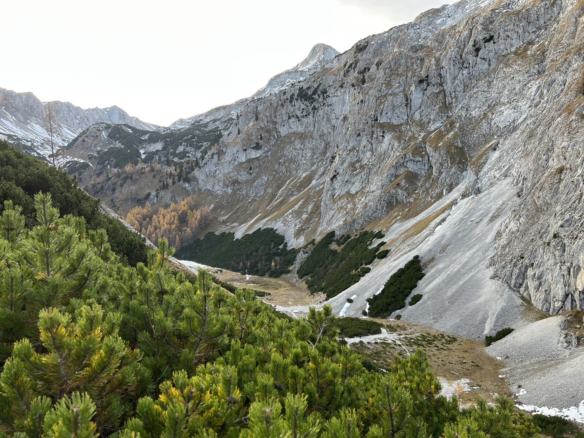
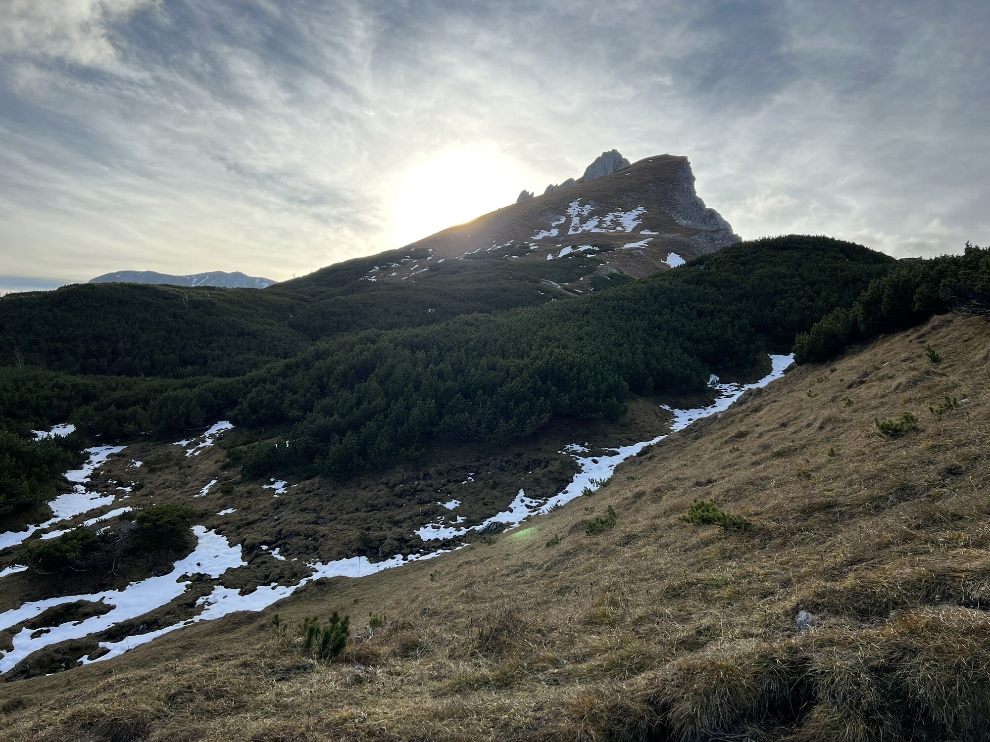
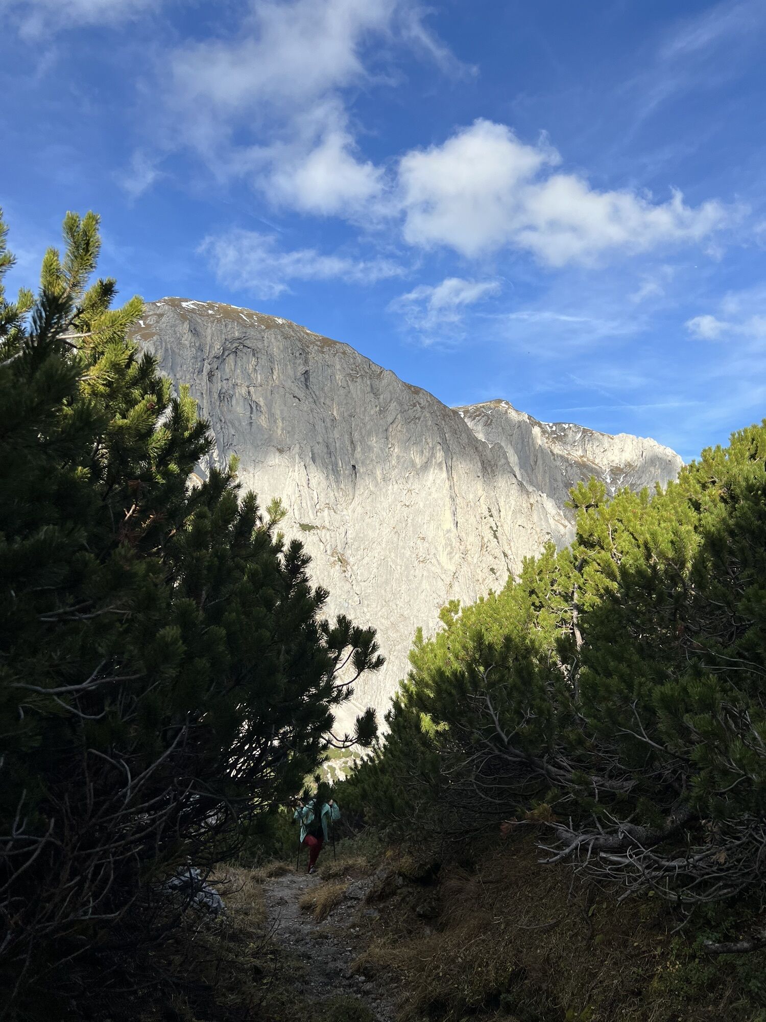
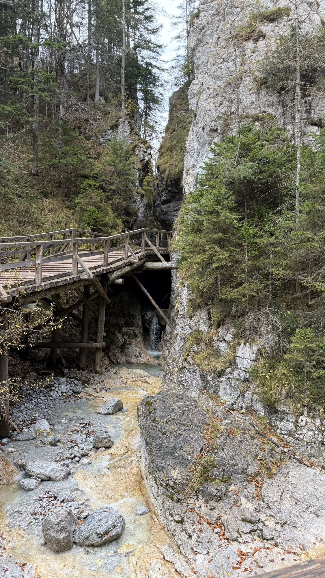
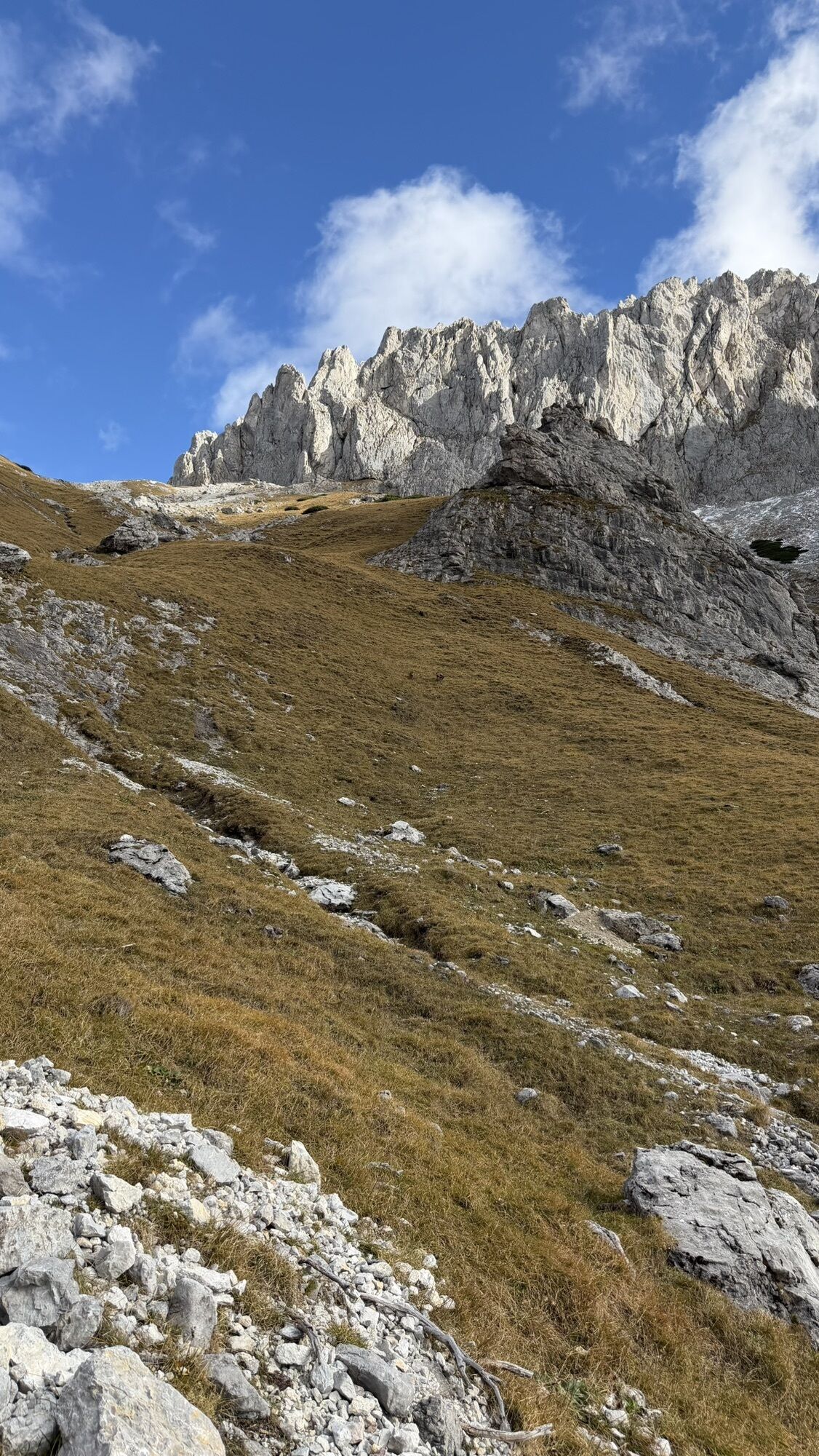
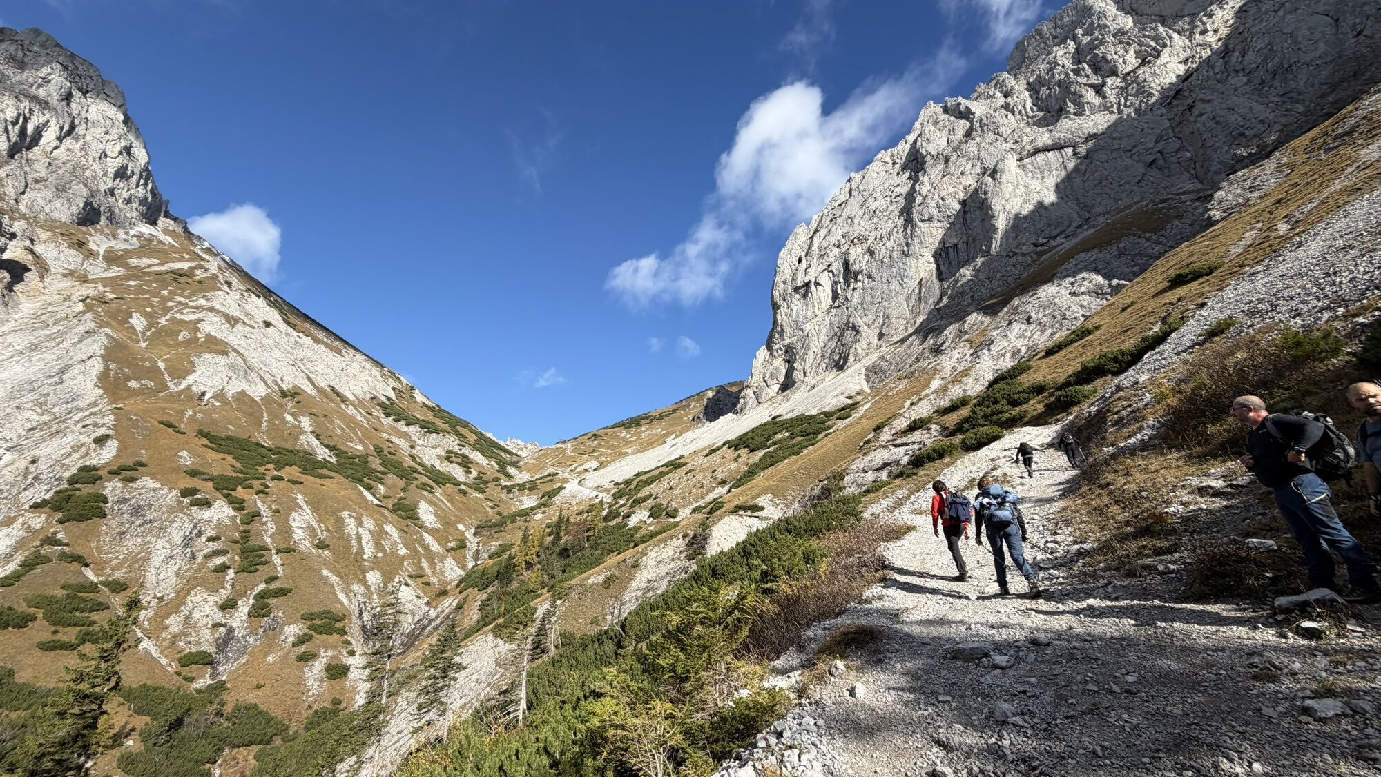
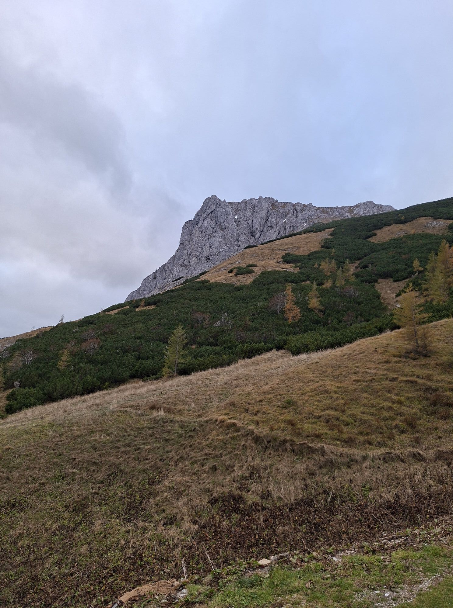
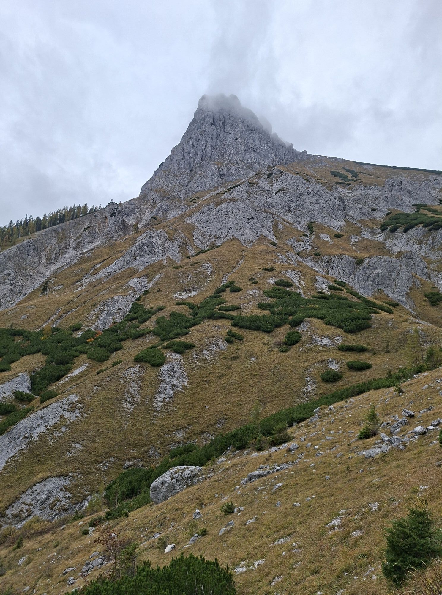
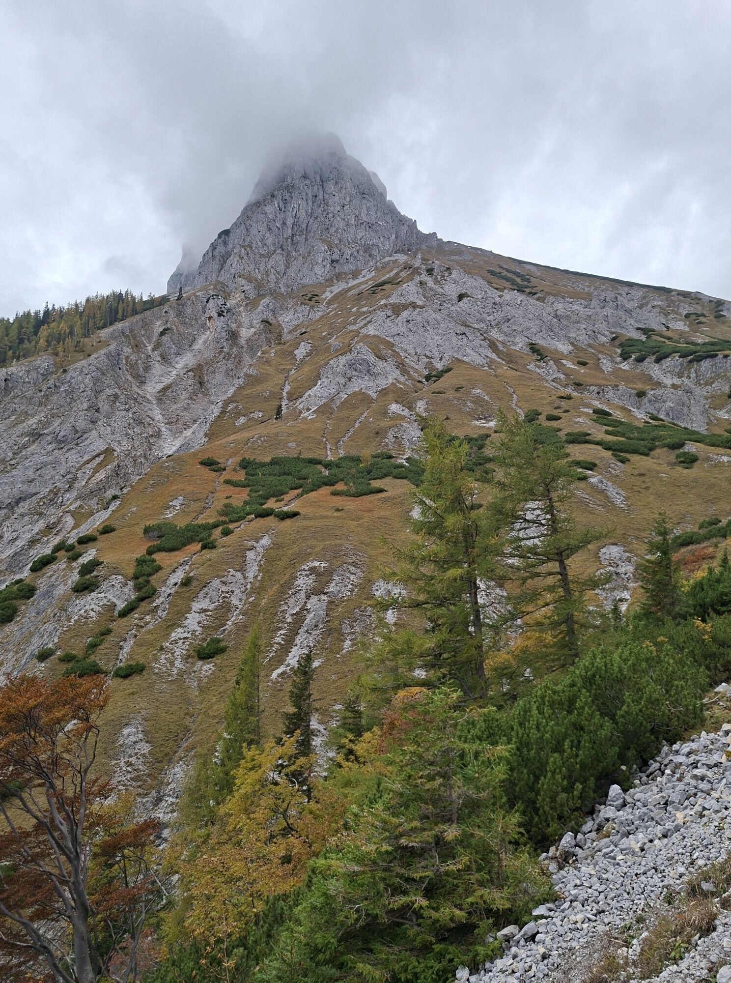
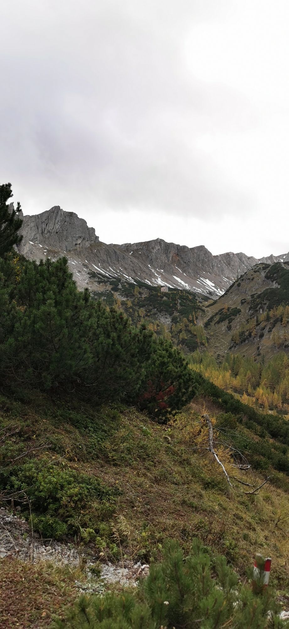
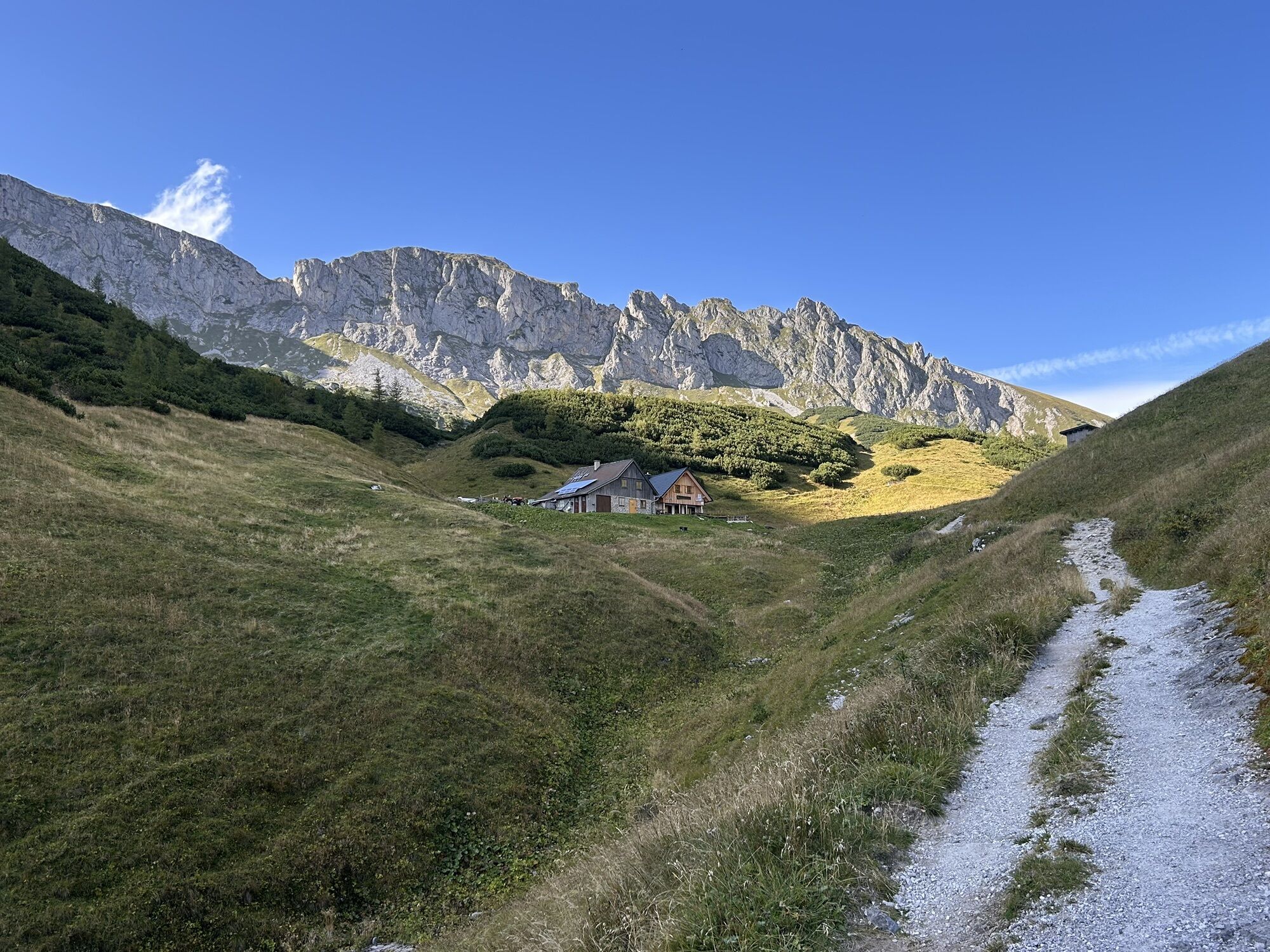
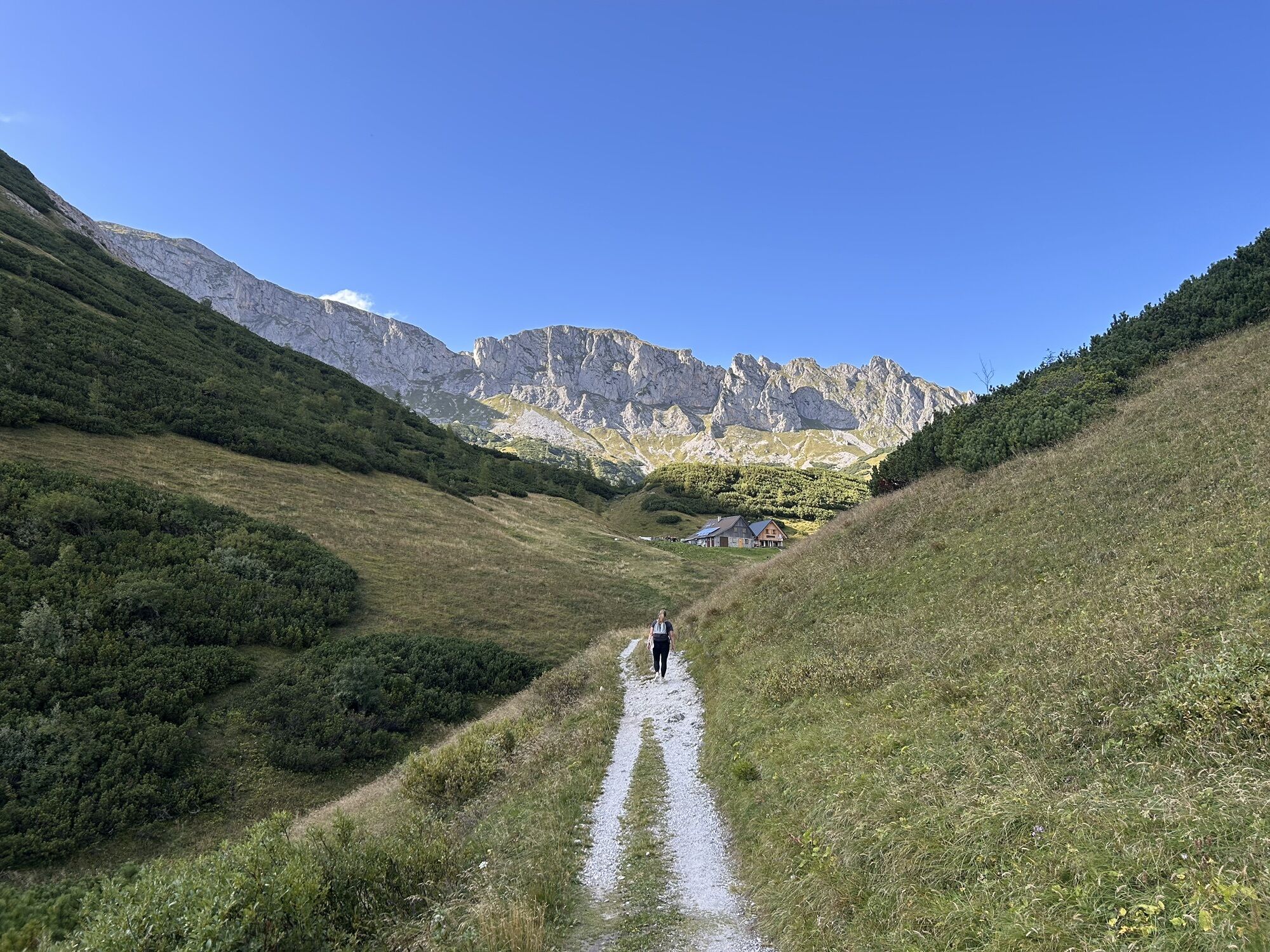
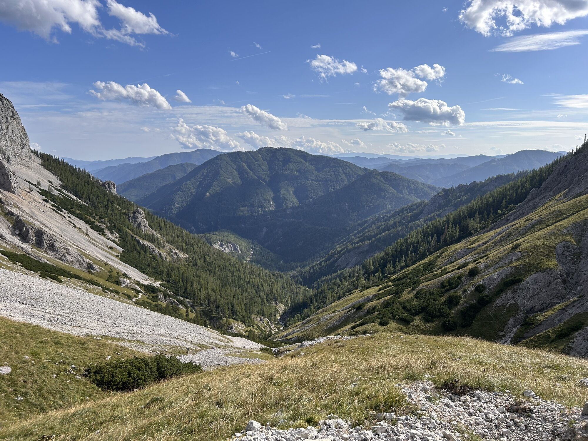
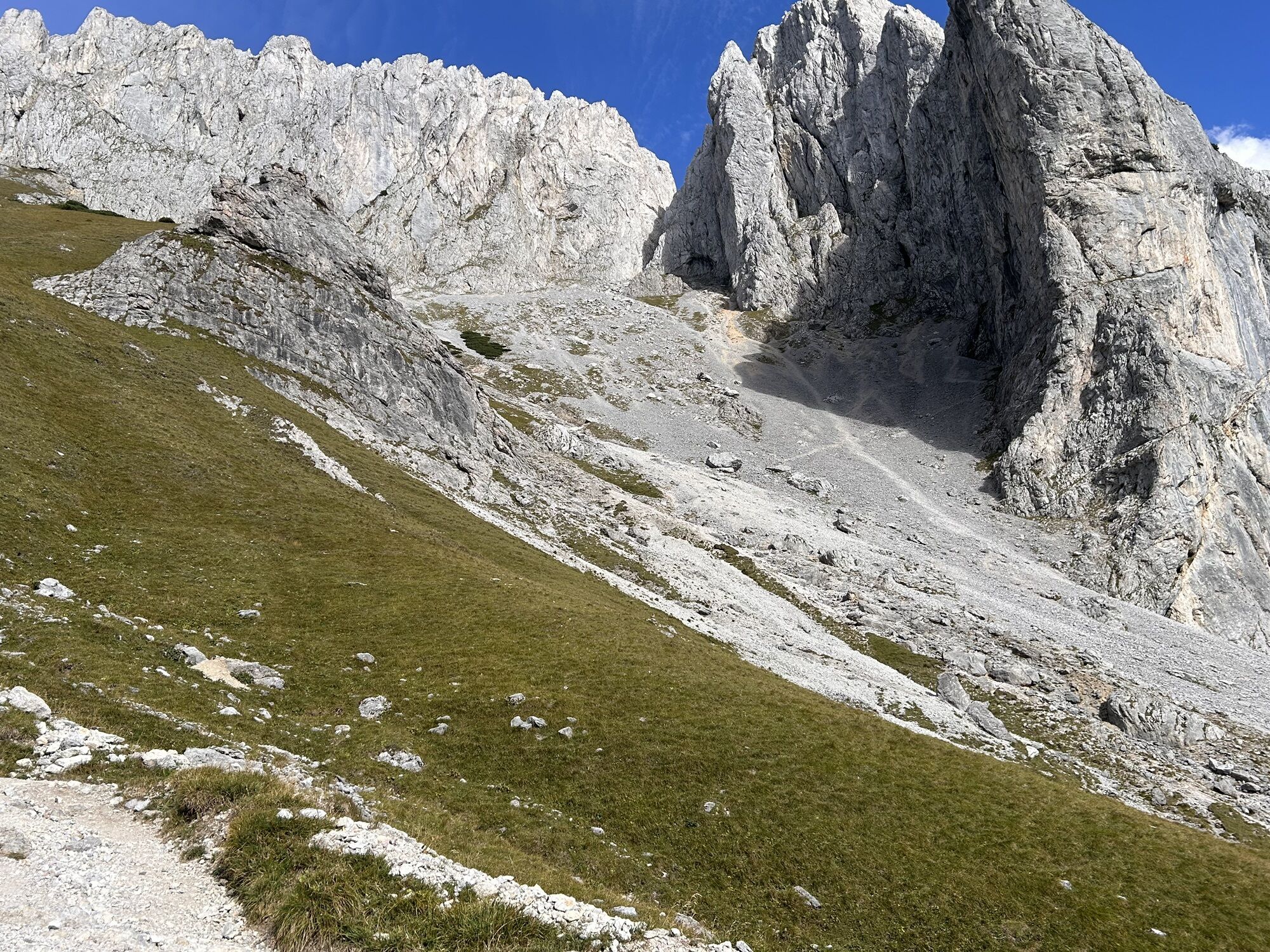
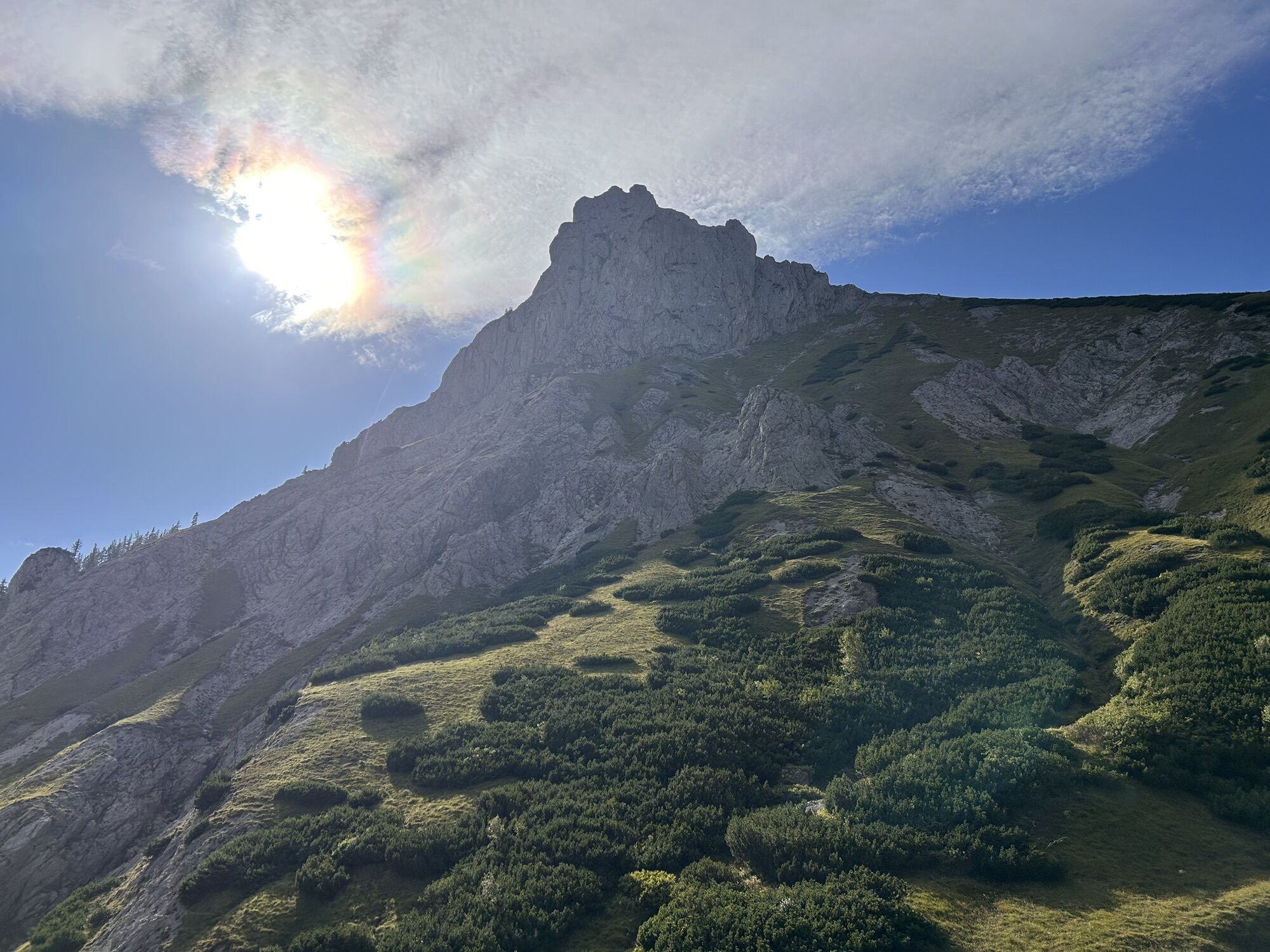
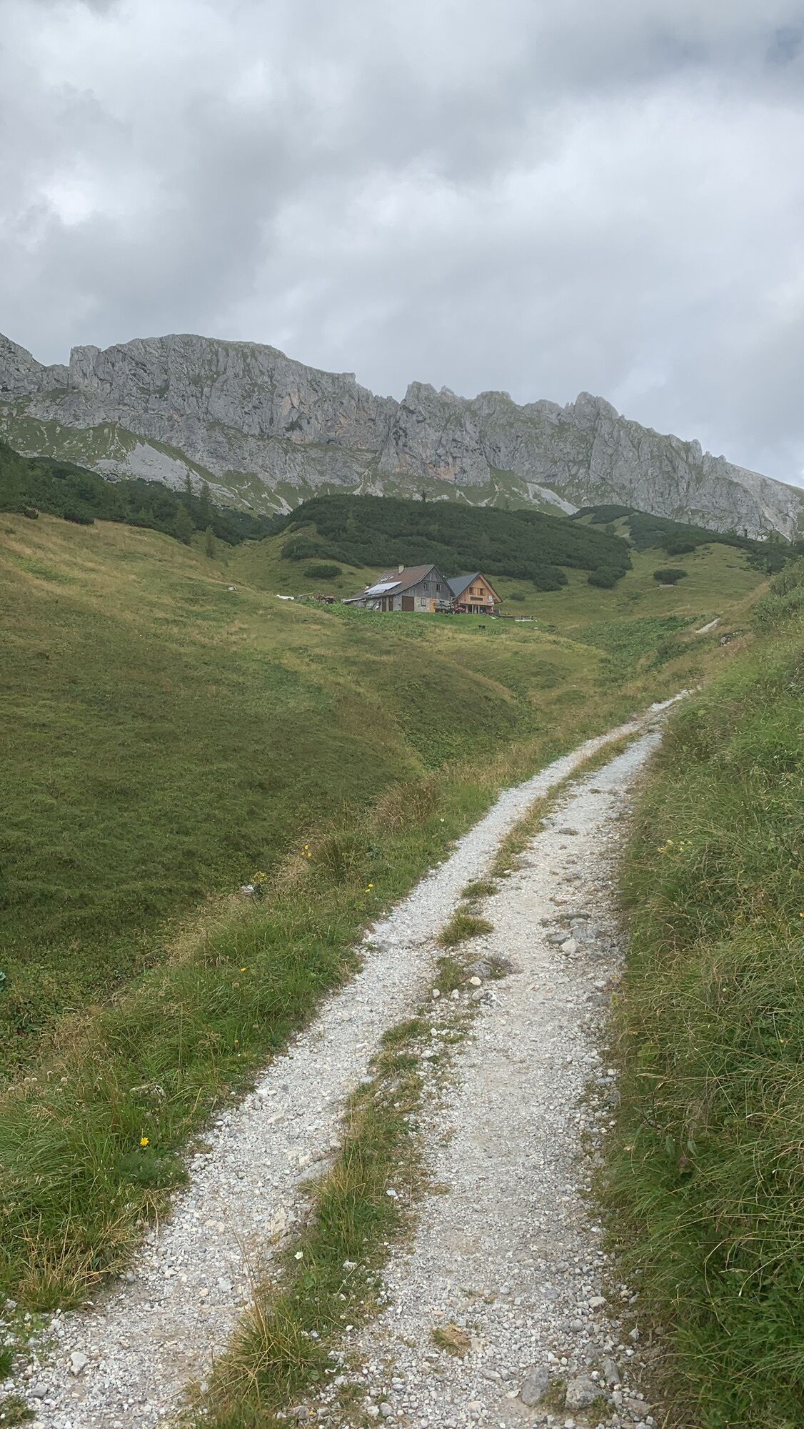
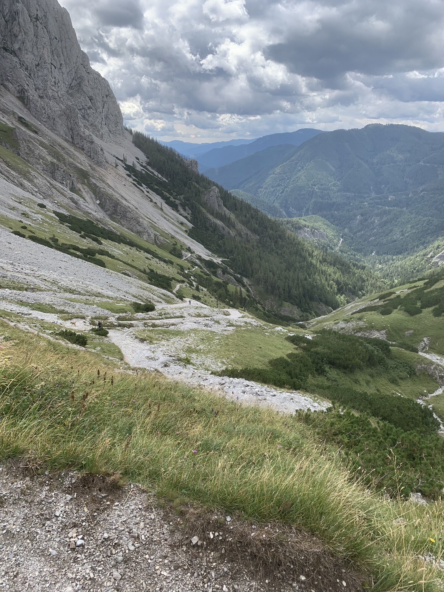
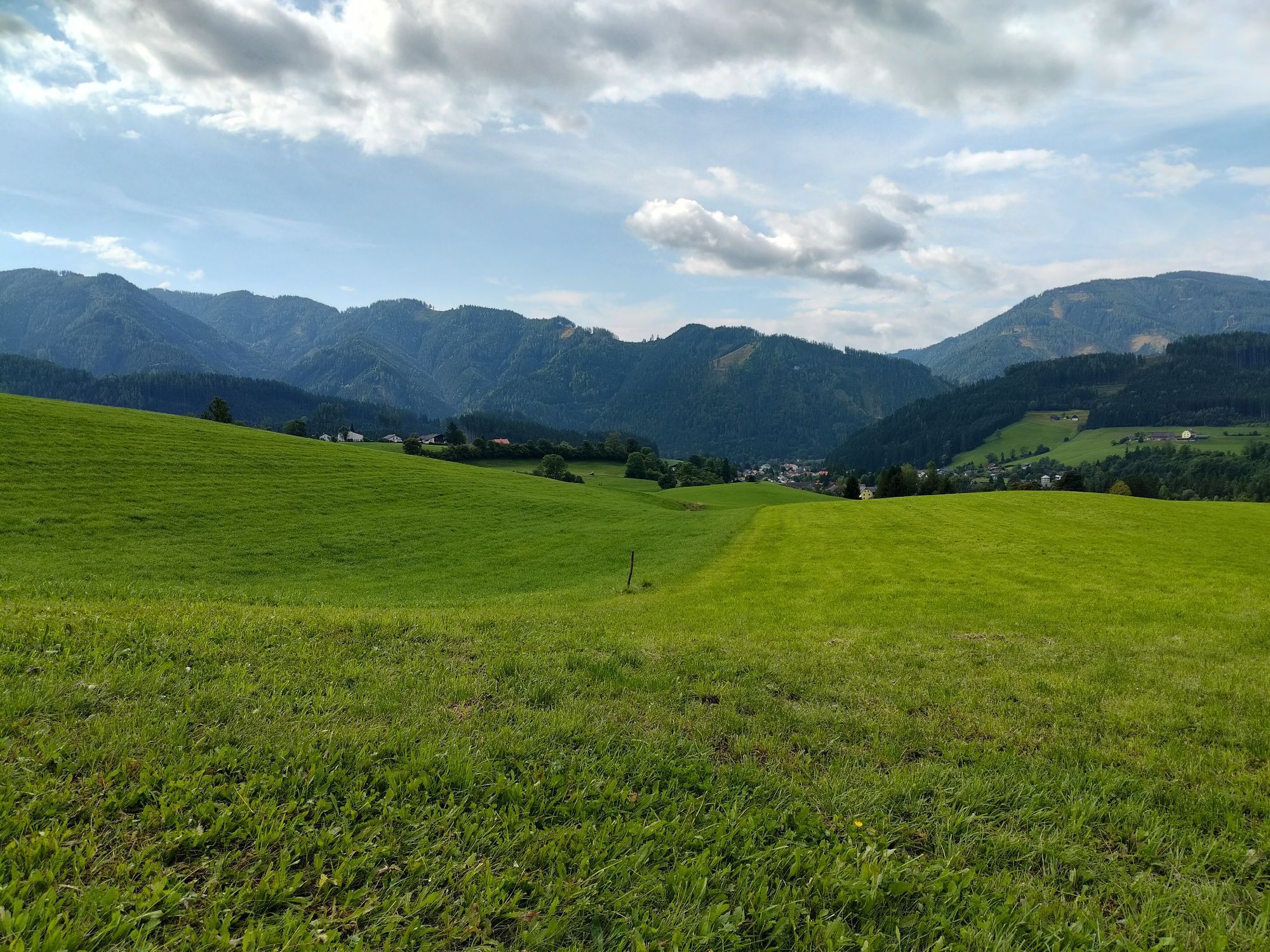
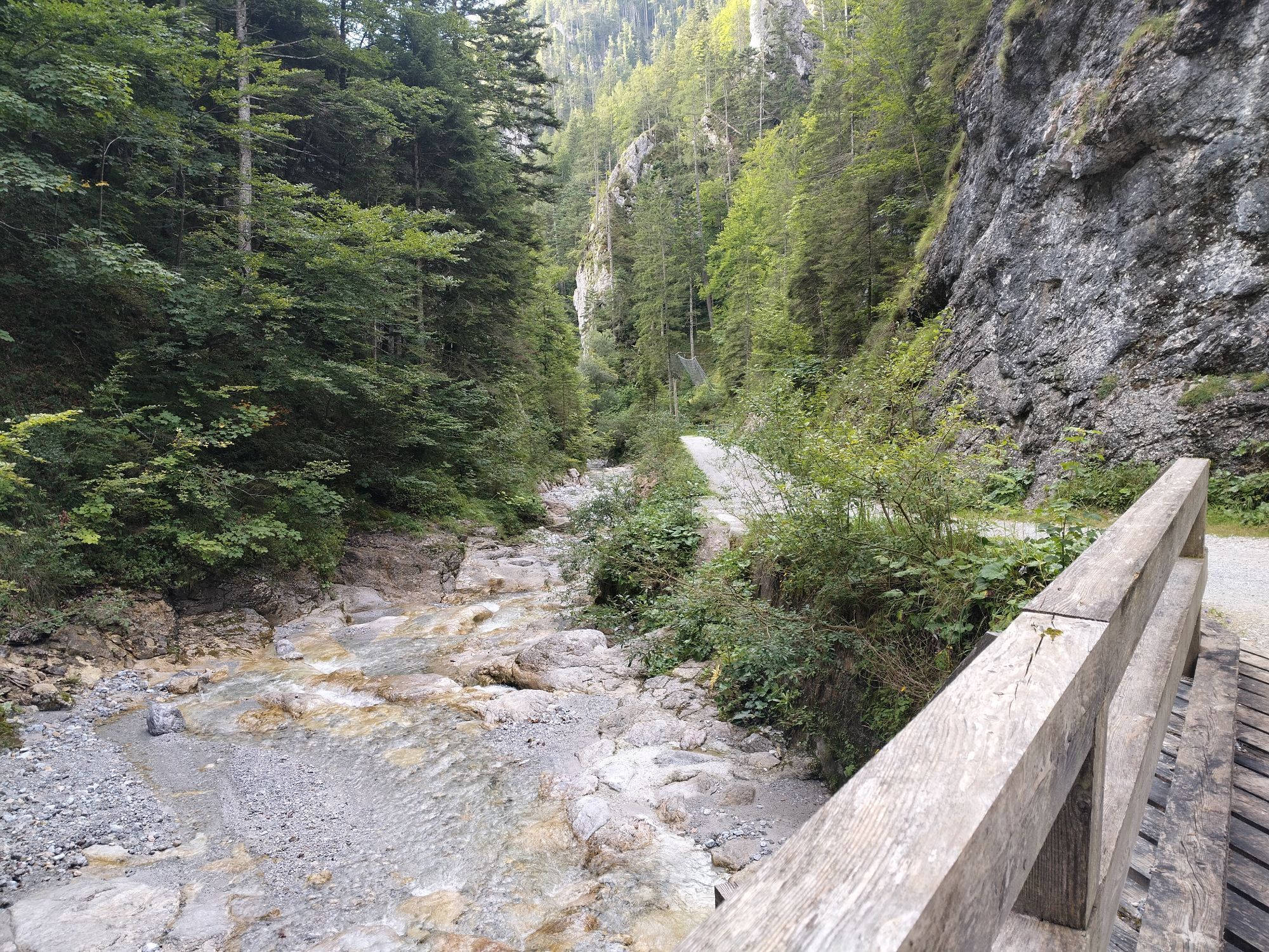
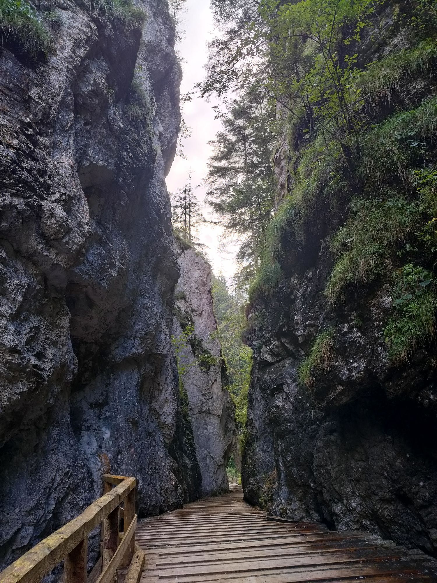
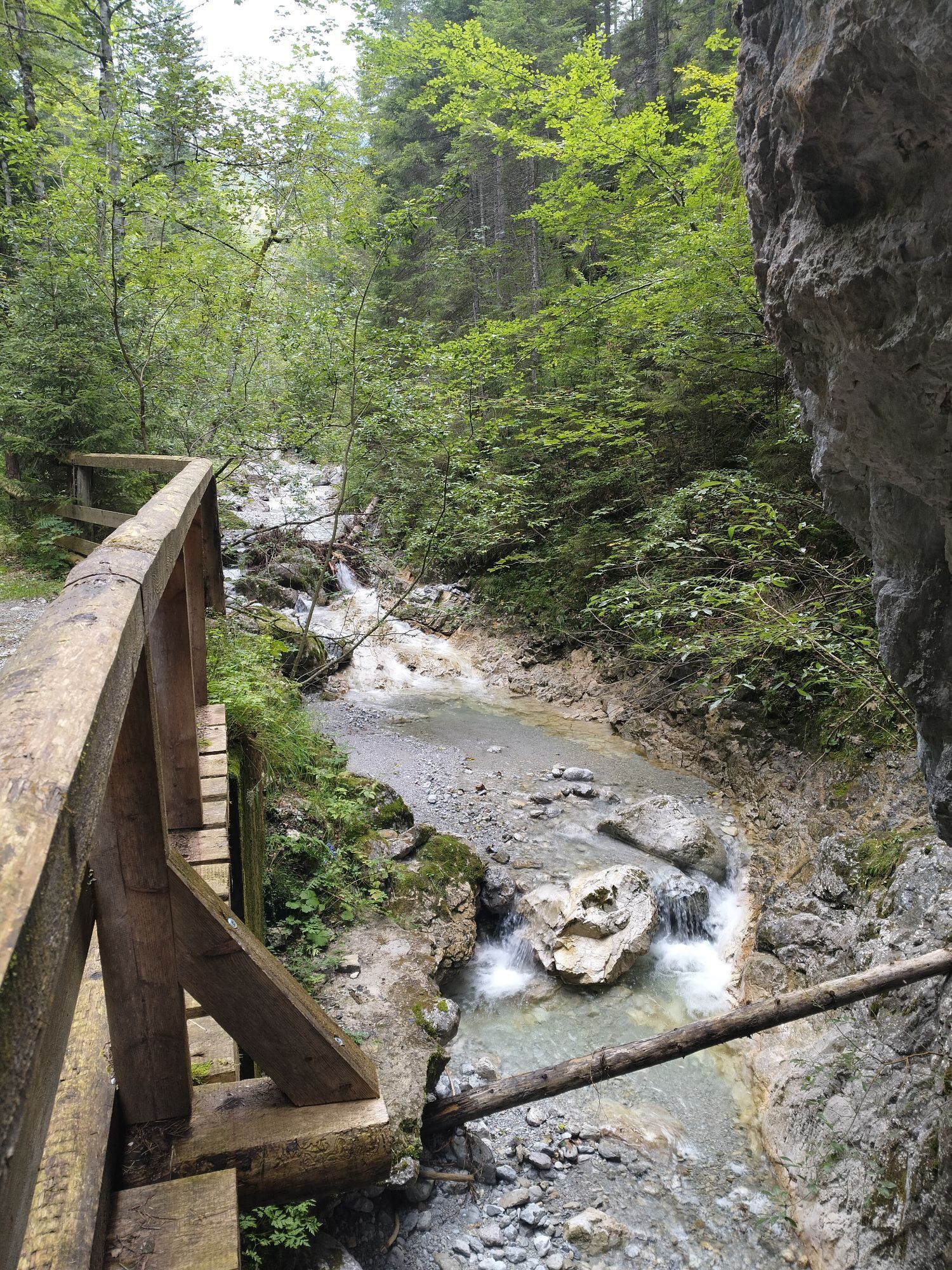
Photos from our users
-

 © Sandra HoffellnerCreated on 03.10.2023
 -
 © Sandra HoffellnerCreated on 03.10.2023
 -
 © Sandra HoffellnerCreated on 03.10.2023
 -

 © Dominic ReitererCreated on 17.10.2021
 -

 © mborkoCreated on 09.08.2024
 -
 © Sandra HoffellnerCreated on 03.10.2023
 -
 © Sandra HoffellnerCreated on 03.10.2023
 -
 © Sandra HoffellnerCreated on 03.10.2023
 -
 © Dominic ReitererCreated on 17.10.2021
 -
 © Dominic ReitererCreated on 17.10.2021
 -
 © Anton GigeleCreated on 01.11.2025
 -
 © Anton GigeleCreated on 01.11.2025
 -
 © Anton GigeleCreated on 01.11.2025
 -
 © Anton GigeleCreated on 01.11.2025
 -
 © Anton GigeleCreated on 01.11.2025
 -
 © Anton GigeleCreated on 01.11.2025
 -
 © Anton GigeleCreated on 01.11.2025
 -
 © Zsolt KozslaCreated on 26.10.2025
 -
 © Zsolt KozslaCreated on 26.10.2025
 -
 © Zsolt KozslaCreated on 26.10.2025
 -
 © Zsolt KozslaCreated on 26.10.2025
 -
 © Zsolt KozslaCreated on 26.10.2025
 -
 © Zsolt KozslaCreated on 26.10.2025
 -
 © Mark B.Created on 17.10.2025
 -
 © Mark B.Created on 17.10.2025
 -
 © Mark B.Created on 17.10.2025
 -
 © Mark B.Created on 17.10.2025
 -

 © AndreasCreated on 15.10.2025
 -
 © AndreasCreated on 15.10.2025
 -
 © AndreasCreated on 15.10.2025
 -
 © Péter ZvadaCreated on 08.09.2025
 -
 © Péter ZvadaCreated on 08.09.2025
 -
 © Péter ZvadaCreated on 08.09.2025
 -
 © Péter ZvadaCreated on 08.09.2025
 -
 © Péter ZvadaCreated on 08.09.2025
 -
 © Péter ZvadaCreated on 08.09.2025
 -
 © Péter ZvadaCreated on 08.09.2025
 -
 © Péter ZvadaCreated on 08.09.2025
 -
 © Péter ZvadaCreated on 08.09.2025
 -

 © Ilya TolkachevCreated on 24.08.2025
 -
 © Ilya TolkachevCreated on 24.08.2025
 -
 © Ilya TolkachevCreated on 24.08.2025
 -

 © PoschacherCreated on 23.08.2025
 -
 © PoschacherCreated on 23.08.2025
 -
 © PoschacherCreated on 23.08.2025
 -
 © PoschacherCreated on 23.08.2025
 -
 © PoschacherCreated on 23.08.2025
 -
 © PoschacherCreated on 23.08.2025


No reviews yet
Popular tours in the neighbourhood
-
4.6
Messnerin
mediumHiking 8.90 km -
4.9
Rundwanderung von Tragöß auf die Sonnschienalm
mediumHiking 17.4 km -
4.9
Bodenbauer - Hochschwab - G`hackte - Häuselalm
mediumHiking 18.7 km -
4.8
Jassing - Sonnschienalm Steiermark/Österreich
lightHiking 7.01 km -
4.8
"Messnerin 1835m" mit gewaltigen 360 Grad Panorama
mediumHiking 16.4 km -
5.0
Über den riesigen "Hochschwab 2277m" - Bodenbauer - Hochschwabgruppe - G'Hacktes - Steiermark - Thörl
mediumHiking 23.9 km -
4.5
Übers G'hackte auf den Hochschwab
heavyHiking 7.51 km -
5.0
Über den „Hochturm 2080m“ mit Blick auf den Grünen See - Rundwanderweg - Oberort
mediumHiking 25.3 km -
4.8
Rund um den Grünen See
lightHiking 3.63 km -
5.0
Hochschwabgruppe - Hochschwab 2.277m - vom G'hackten bis zur Fölz
mediumHiking 19.5 km
Hiking & Tracking

Over 550.000 tour suggestions, detailed maps and an intuitive route planner make the app a must-have for all nature enthusiasts.

Don't miss out on offers and inspiration for your next holiday
Subscribe to the newsletter
Error
An error has occurred. Please try again.
Thank you for your registration
Your e-mail address has been added to the mailing list.
Tours throughout Europe
Austria
Switzerland
Germany
Italy
Slovenia
France
Netherlands
Belgium
Poland
Liechtenstein
Czechia
Slovakia
Spain
Croatia
Bosnia and Herzegovina
Luxembourg
Andorra
Portugal
Iceland
United Kingdom
Ireland
Greece
Albania
North Macedonia
Malta
Norway
Montenegro
Moldova
Kosovo
Hungary
San Marino
Romania
Estonia
Latvia
Belarus
Cyprus
Lithuania
Serbia
Bulgaria
Monaco
Denmark
Sweden
Finland