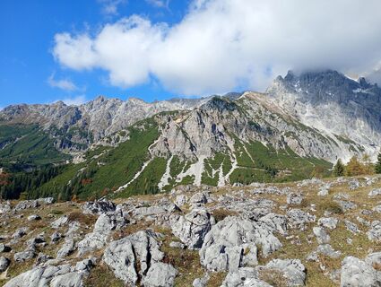
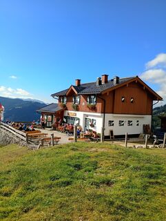
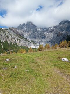
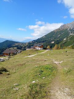
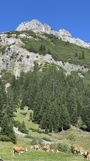
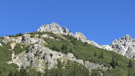
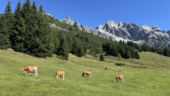
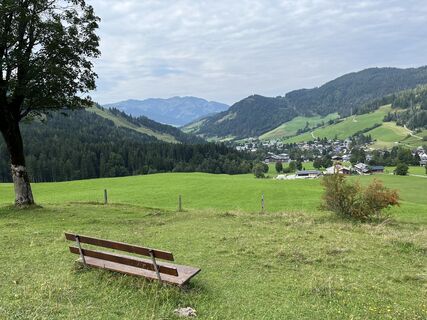
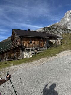
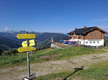
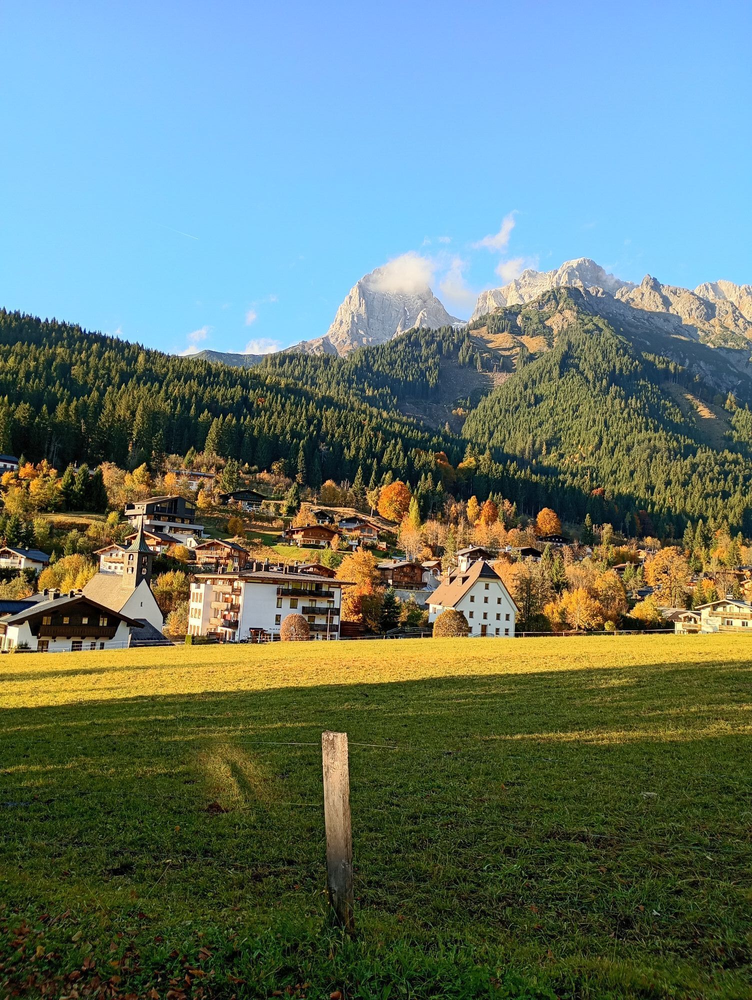
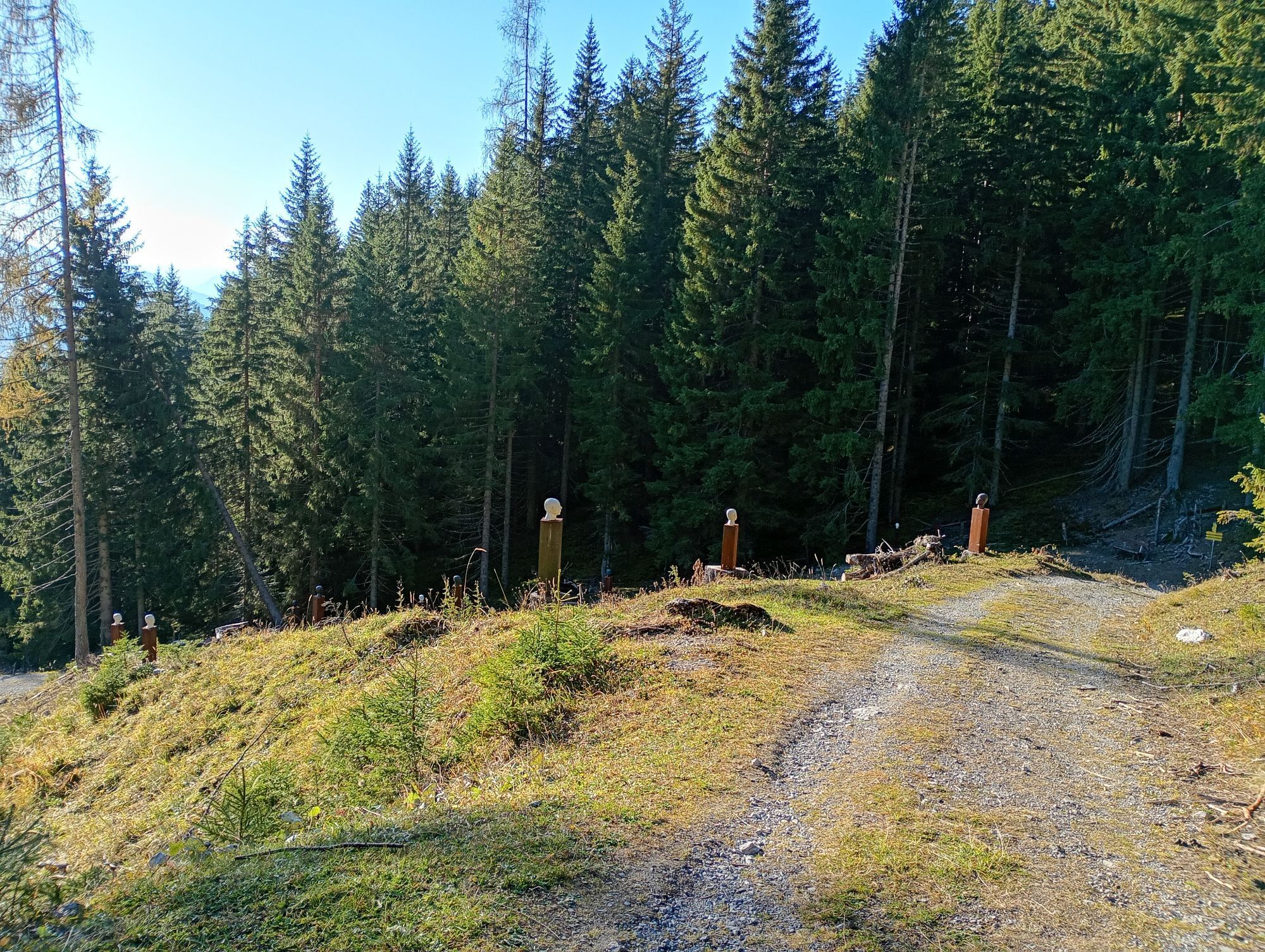
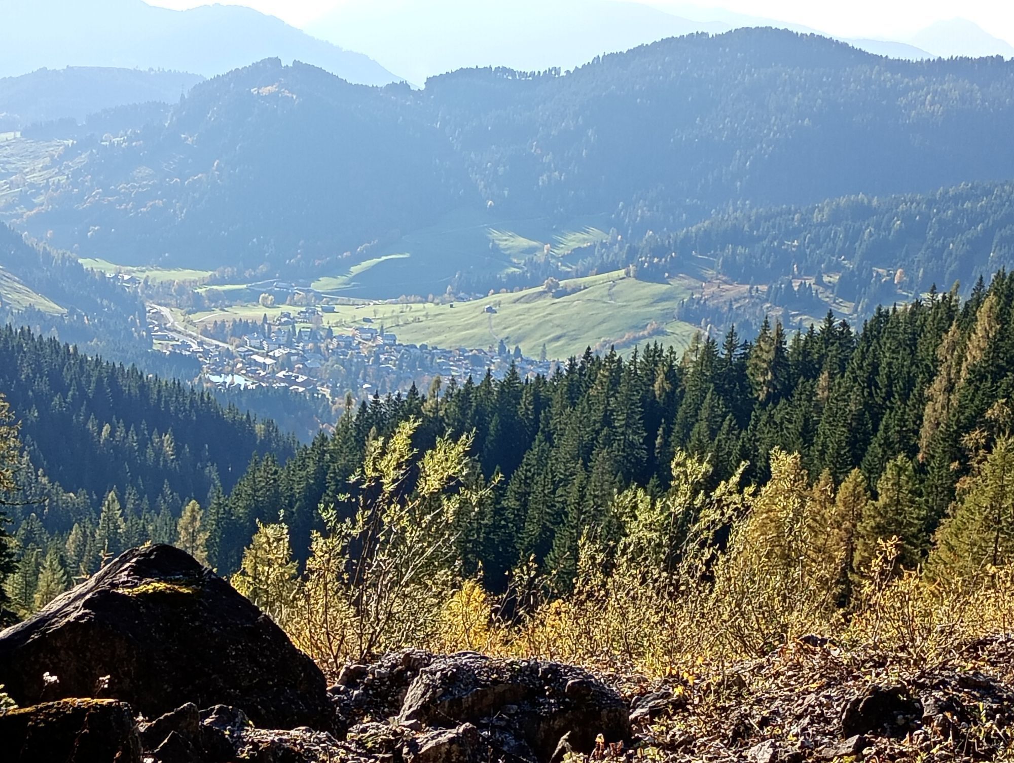
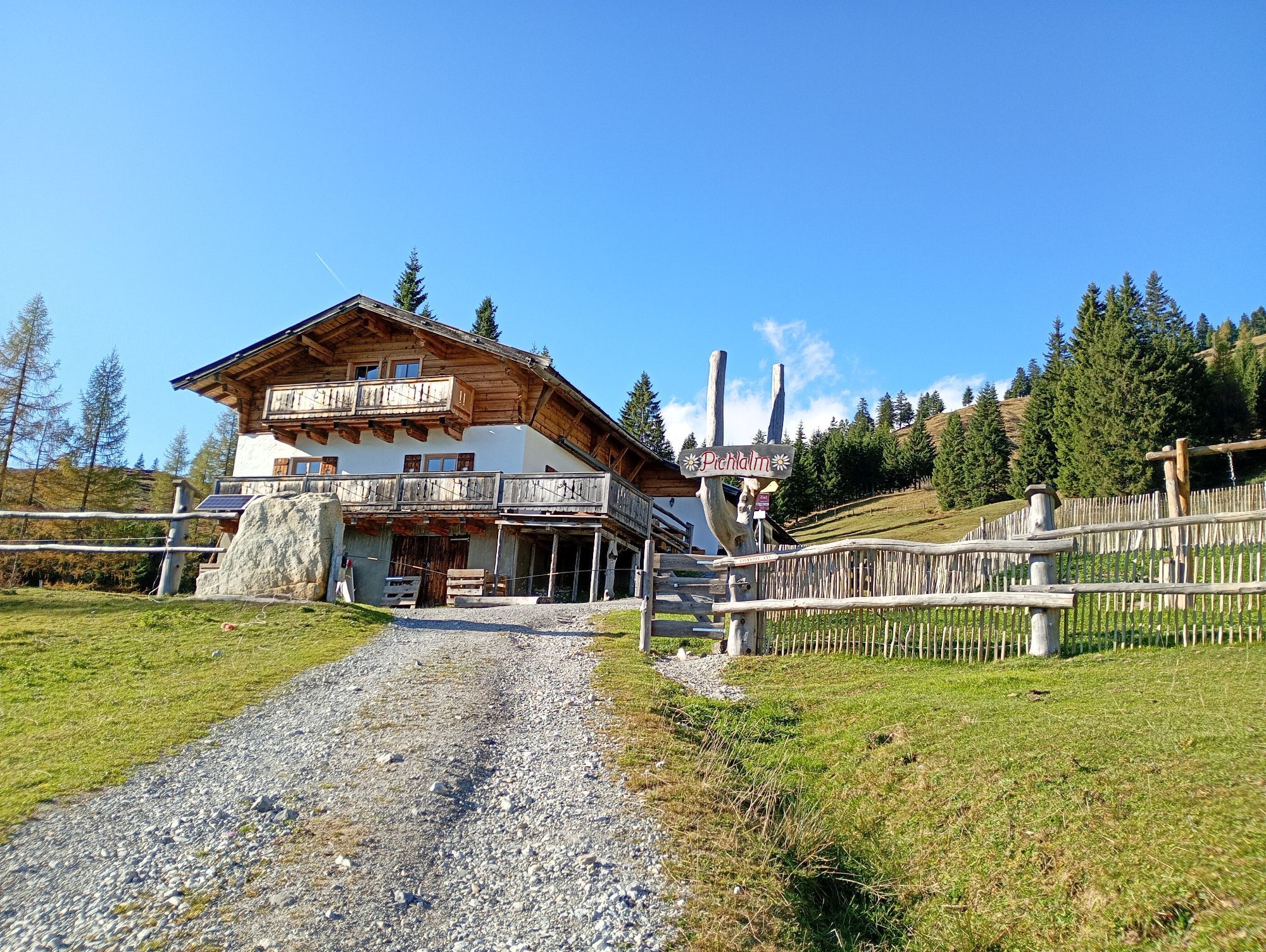
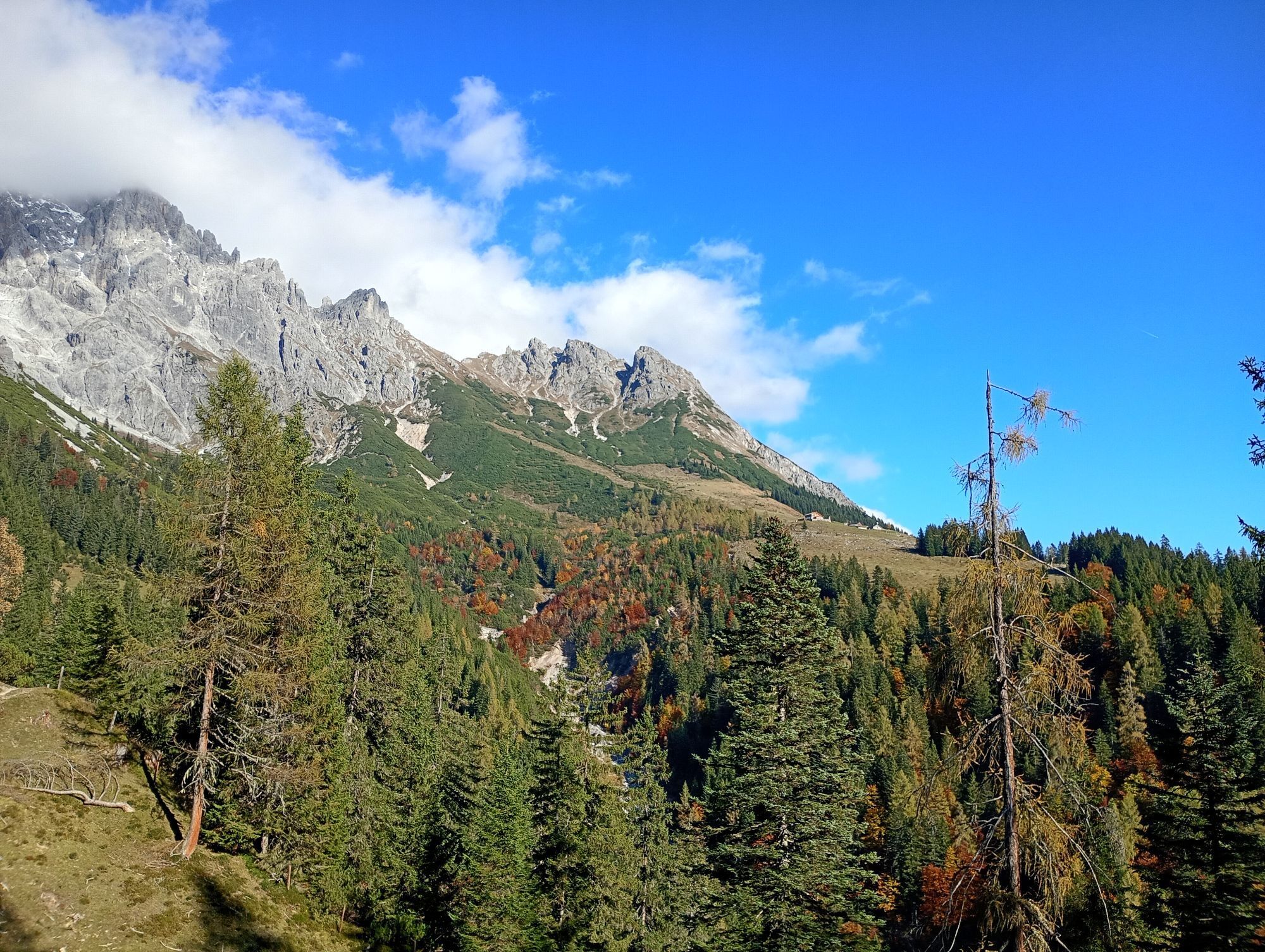
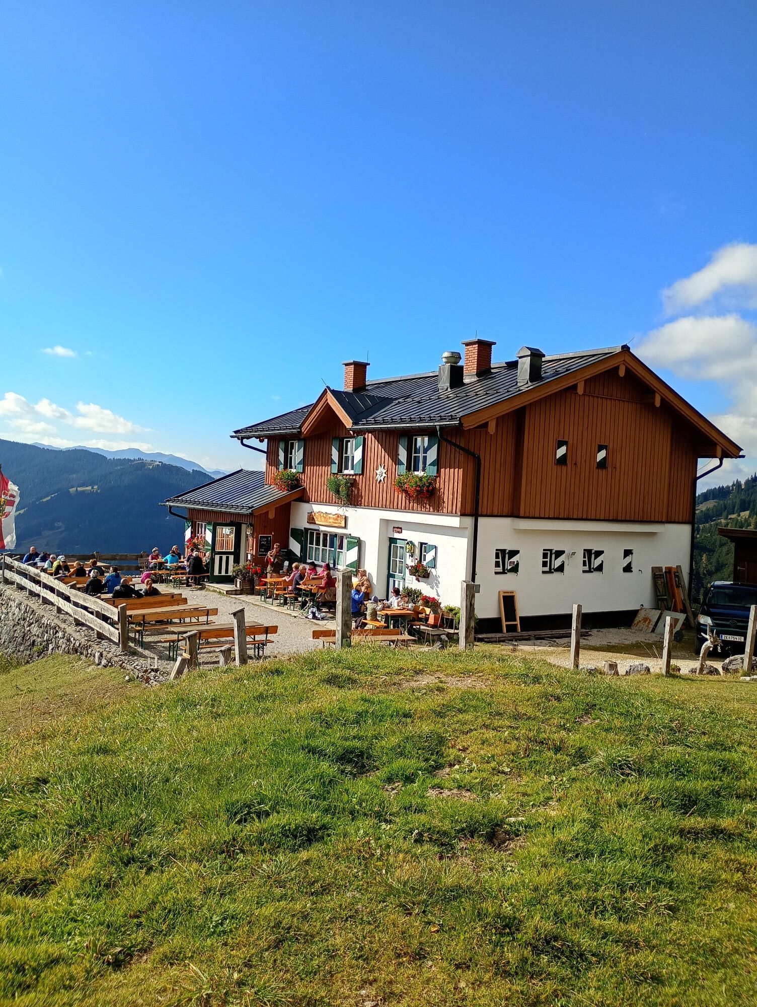
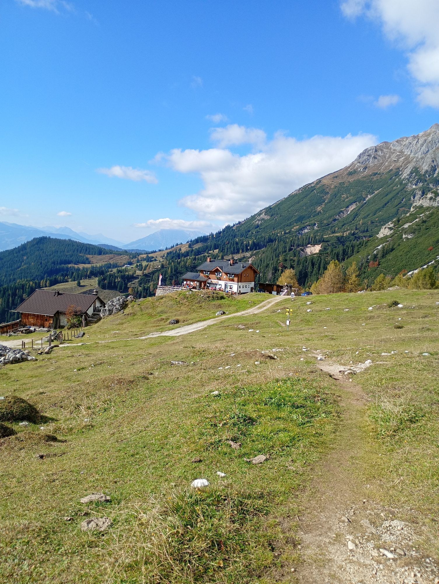
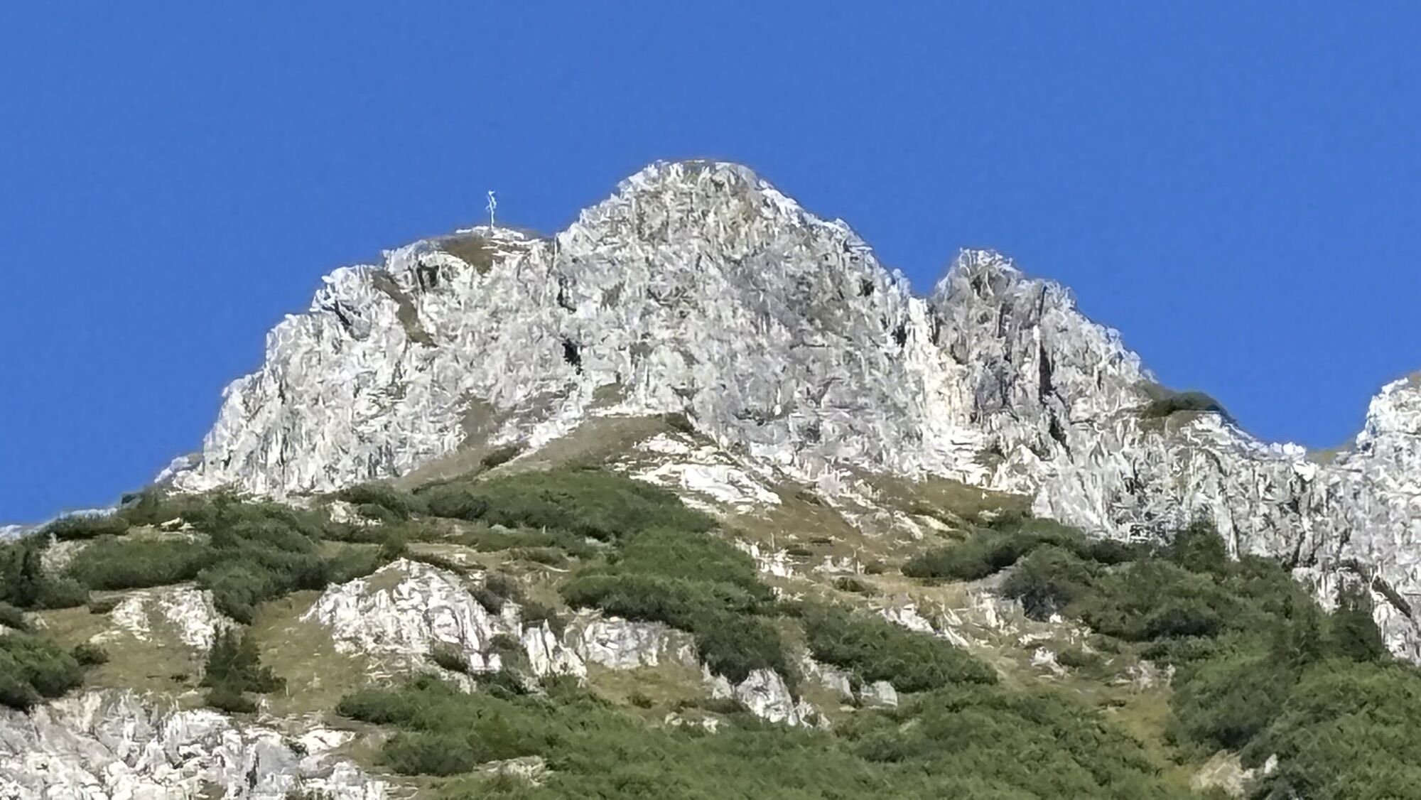
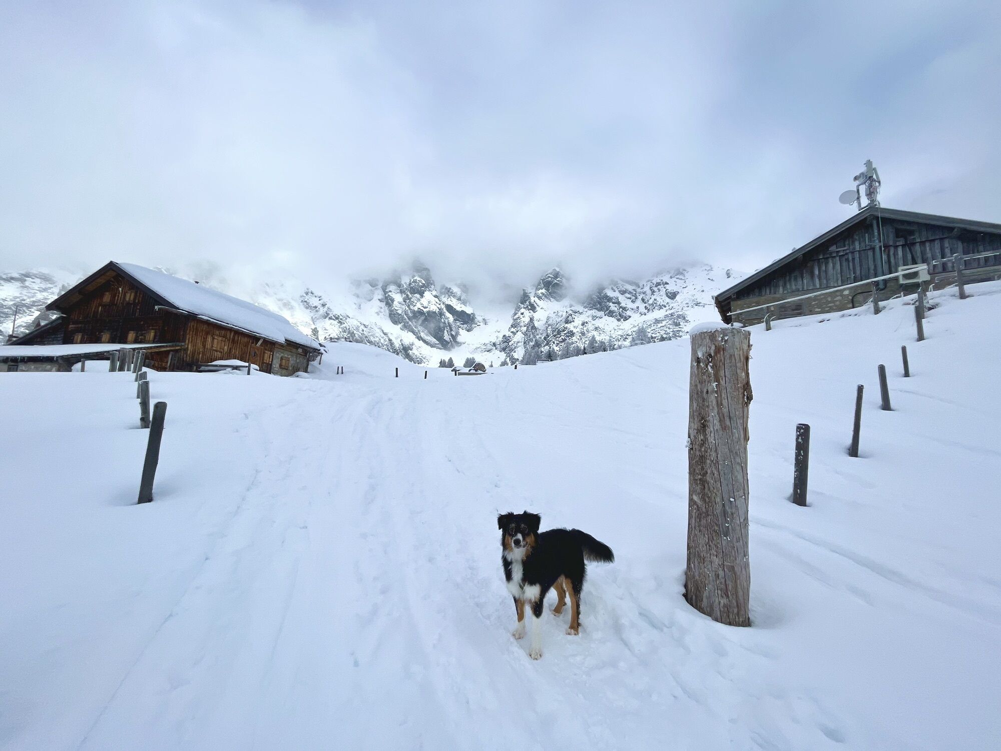
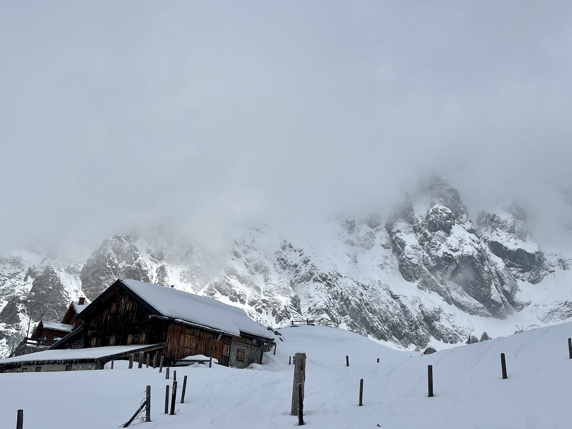
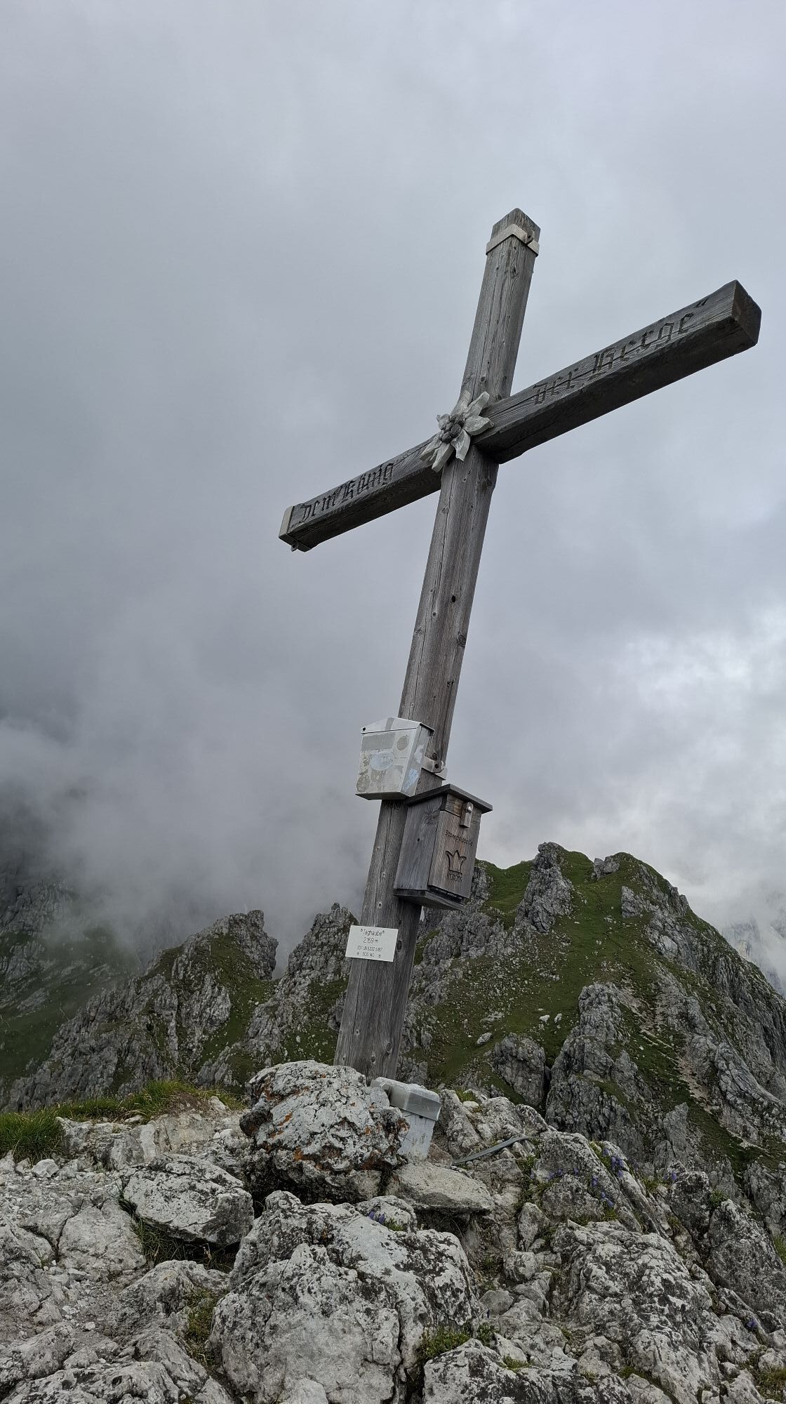
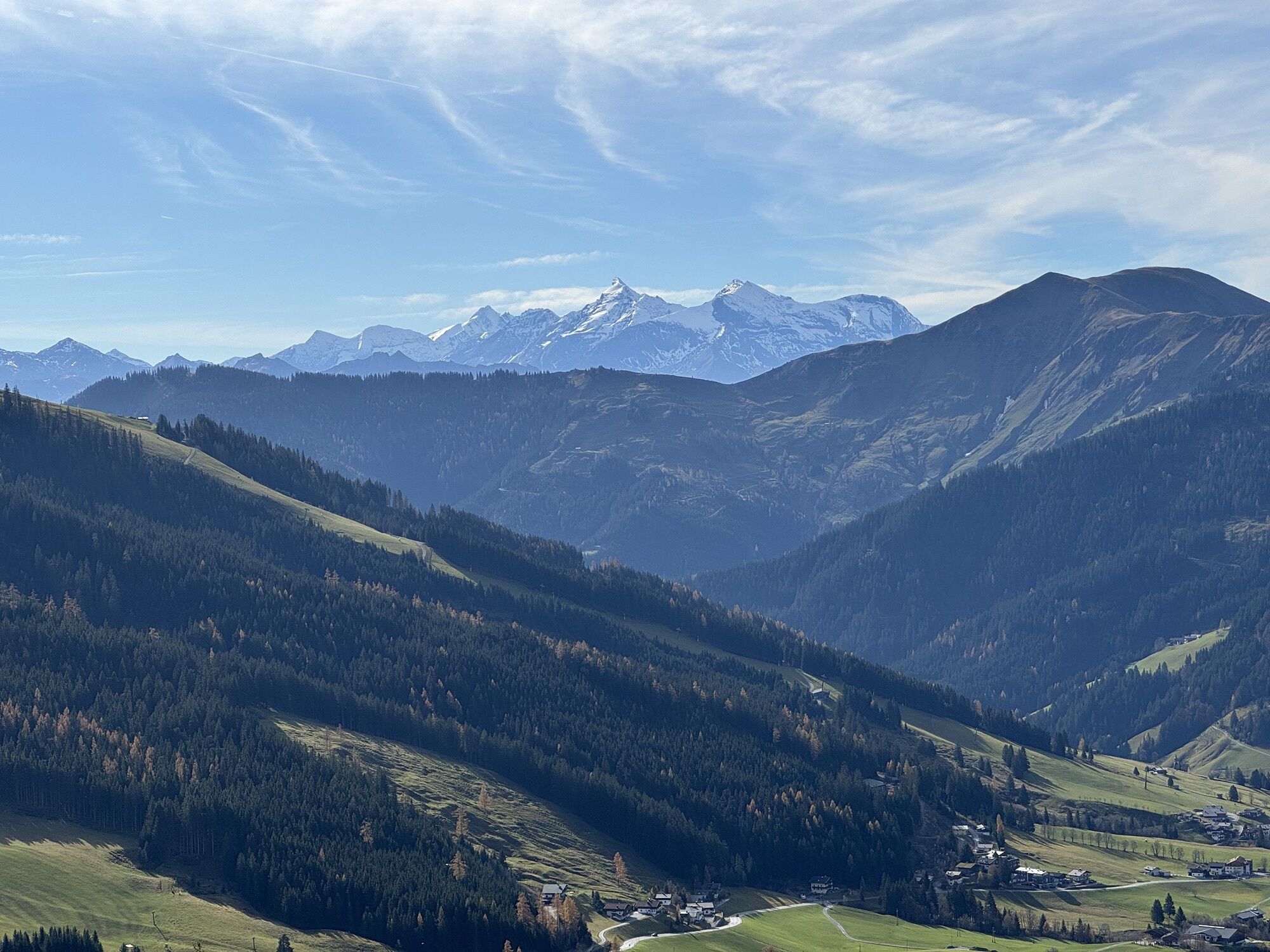
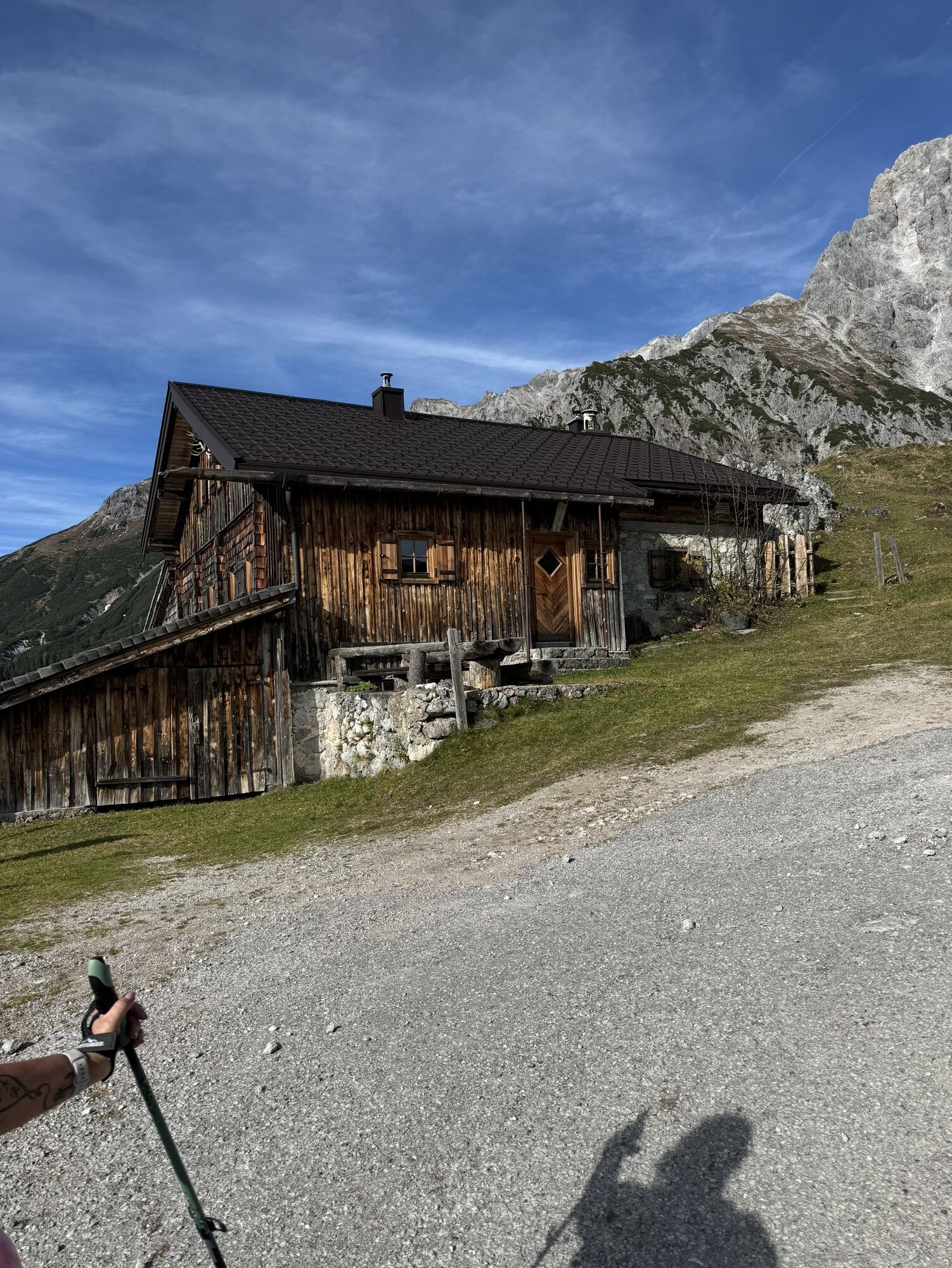
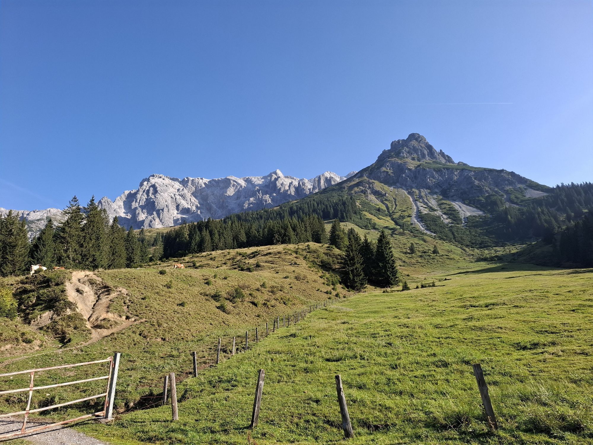
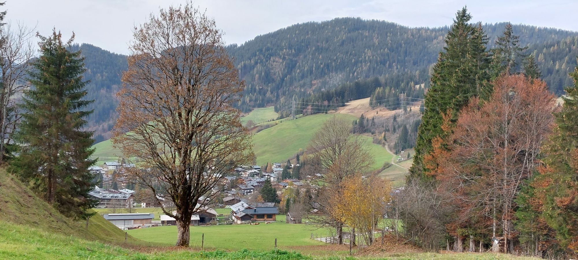
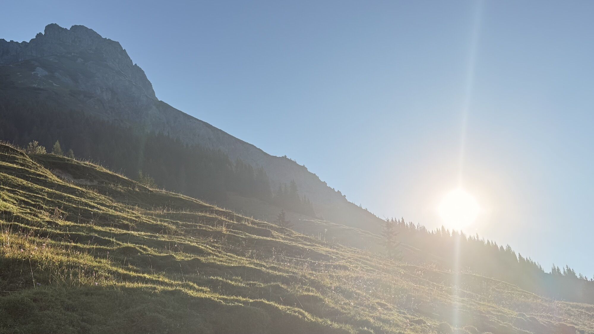
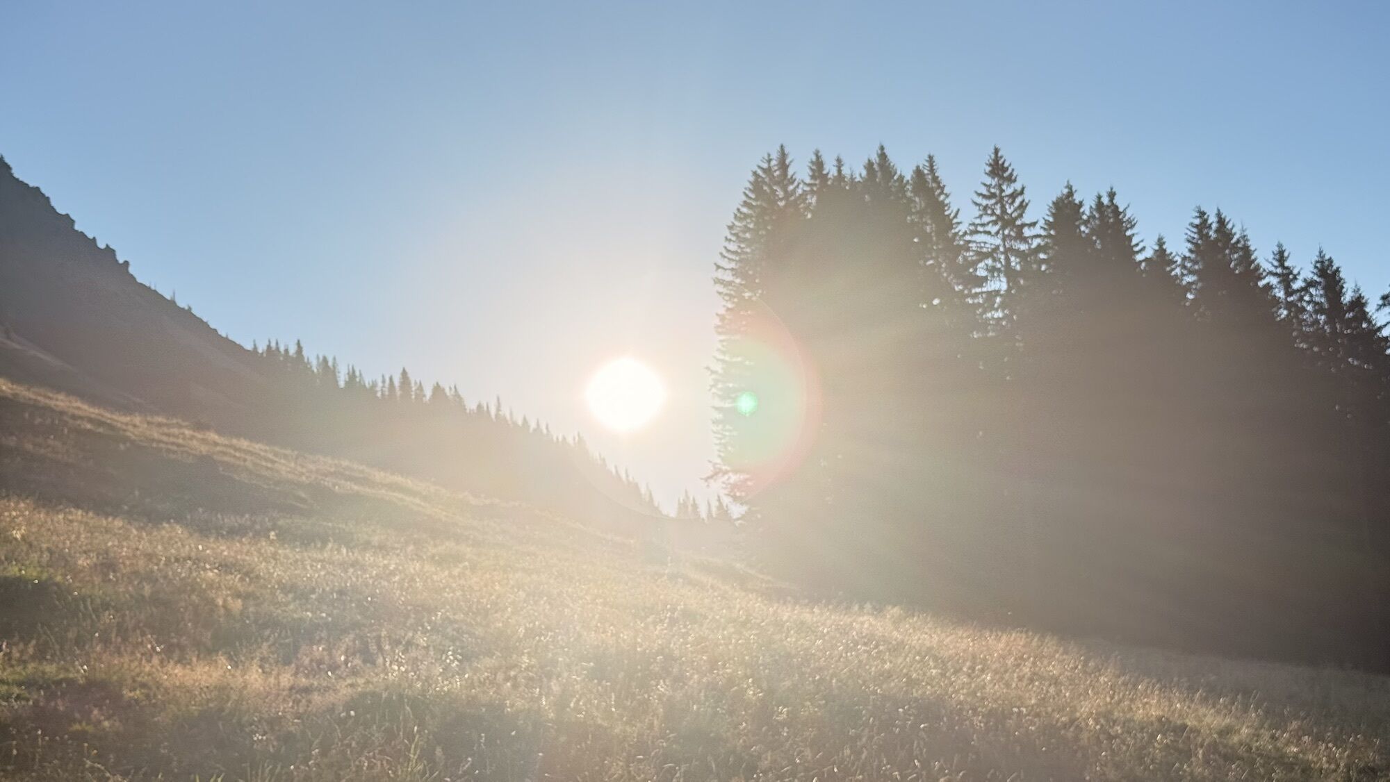
Erichhütte
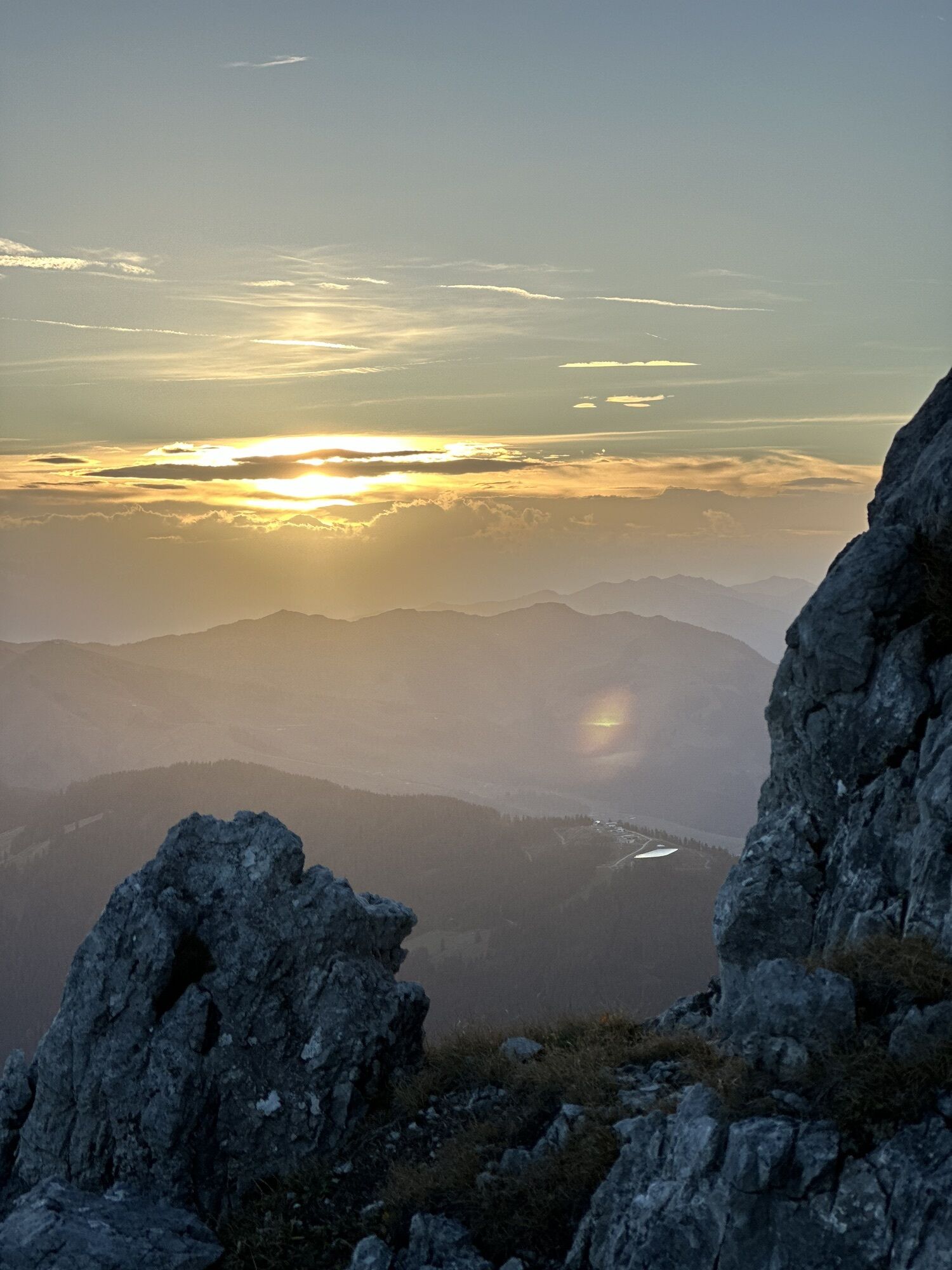
Hiking
Navigate
Navigate
Get this tour on your mobile
Erichhütte
Hiking
12.41
km
Scan the QR code and start navigation in the bergfex app

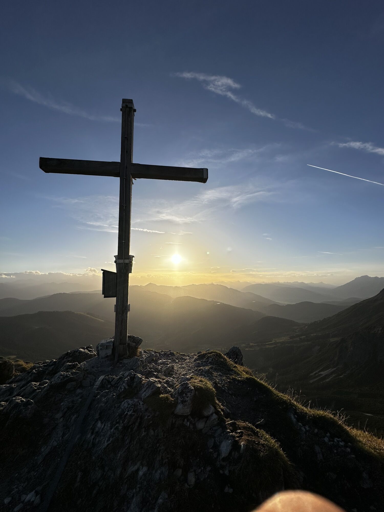
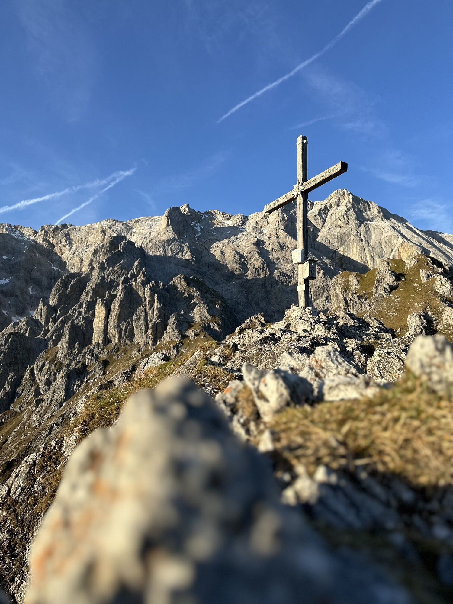
Hiking & Tracking


Distance
12.41
km
Duration
05:20
h
Ascent
1,069
m
Sea level
1,013 -
2,140
m
Track download
Erichhütte
Hiking
12.41
km


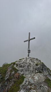
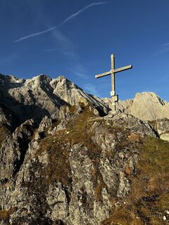
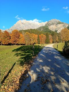
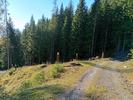
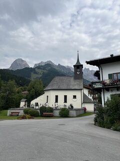
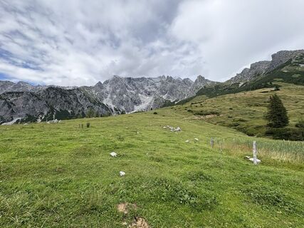
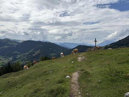
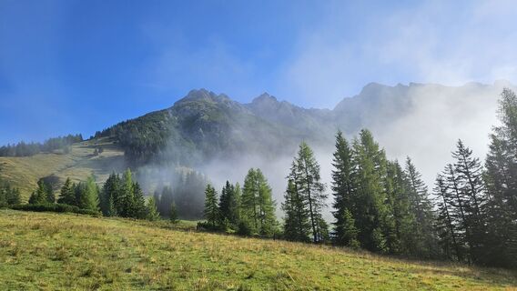
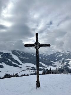
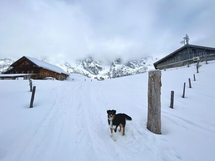
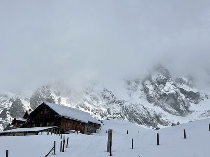
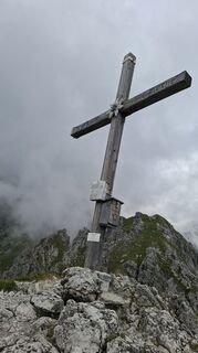
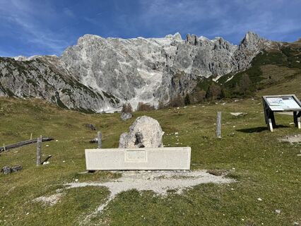
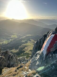
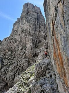
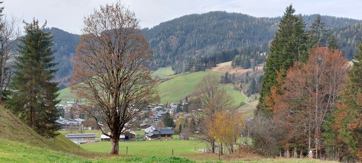
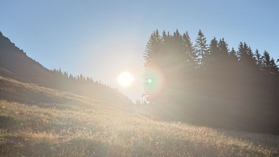
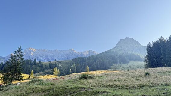
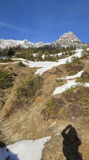
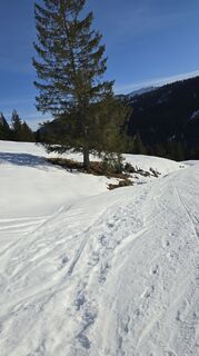
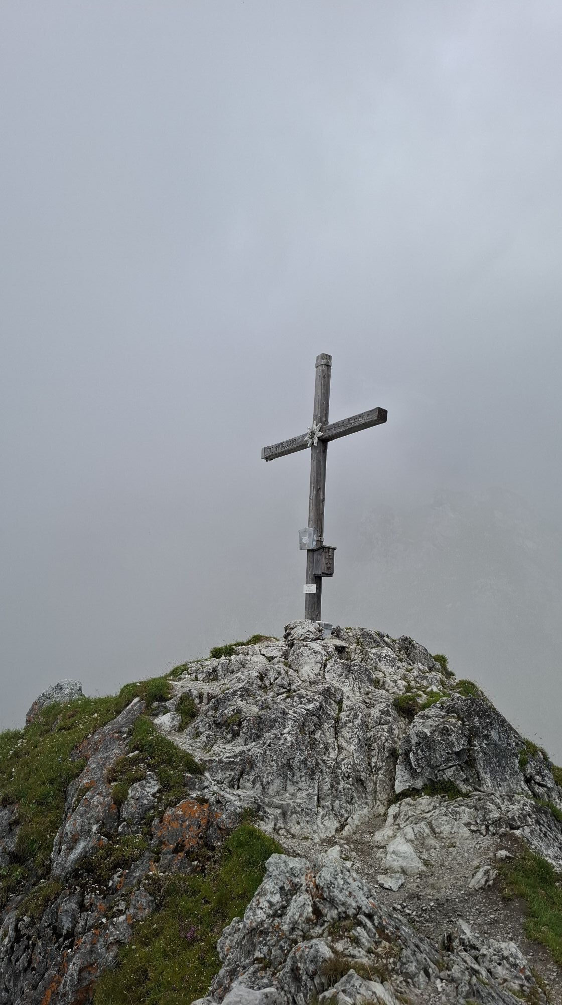
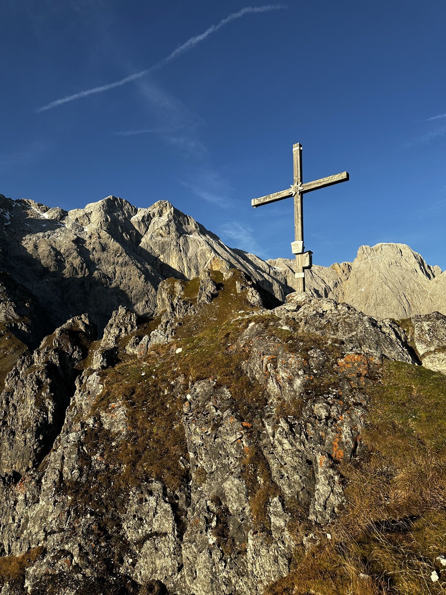
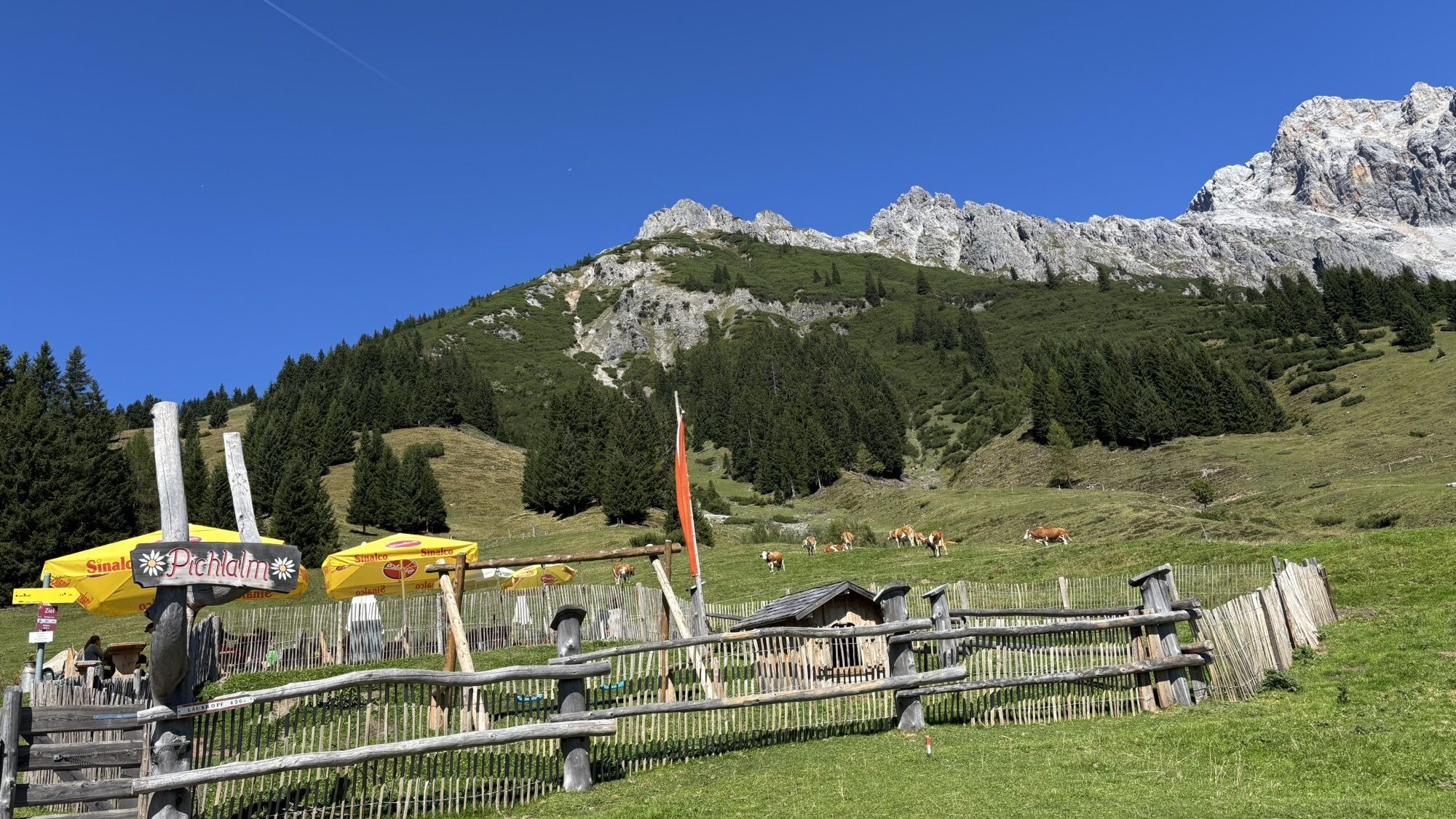
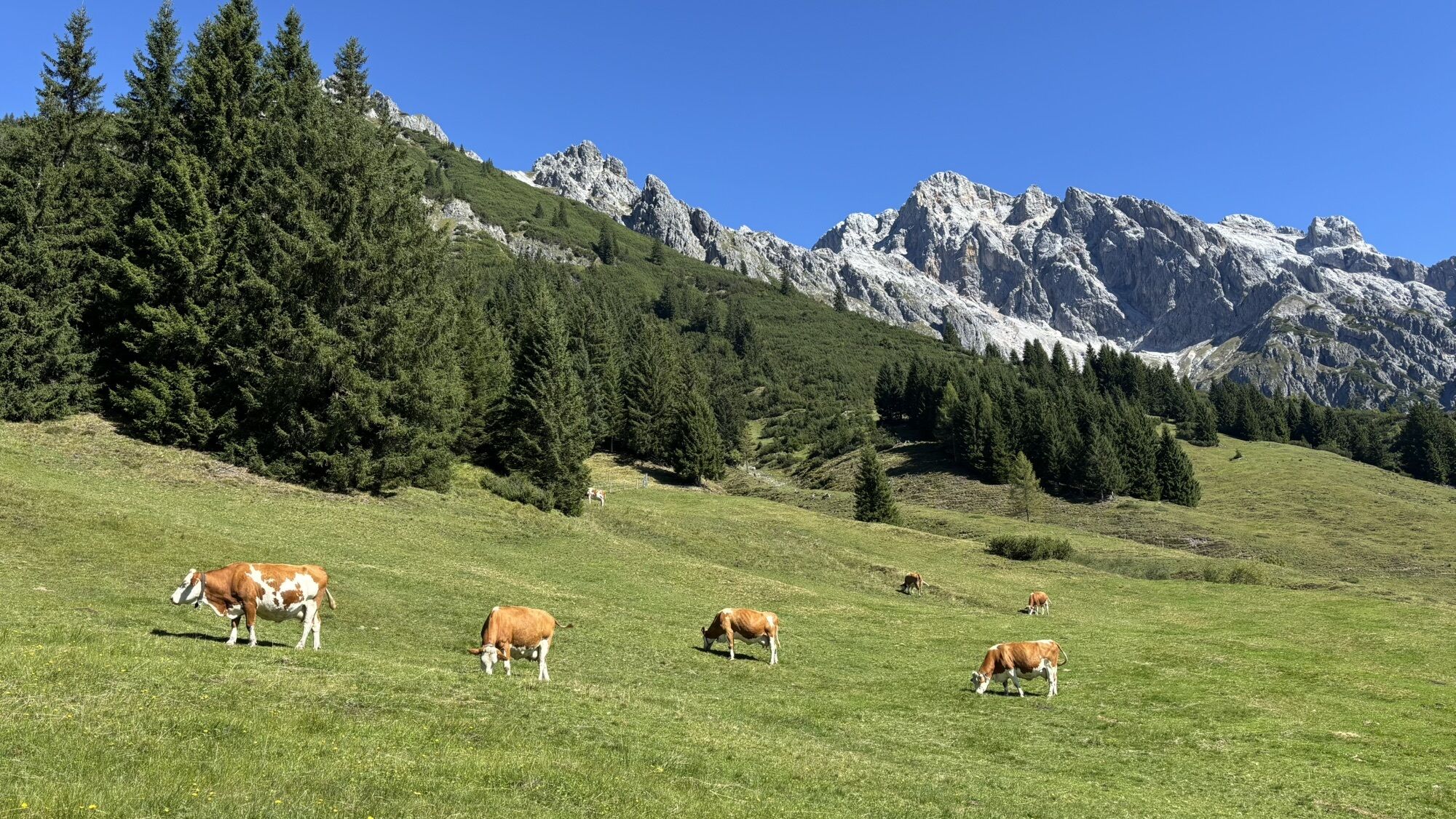
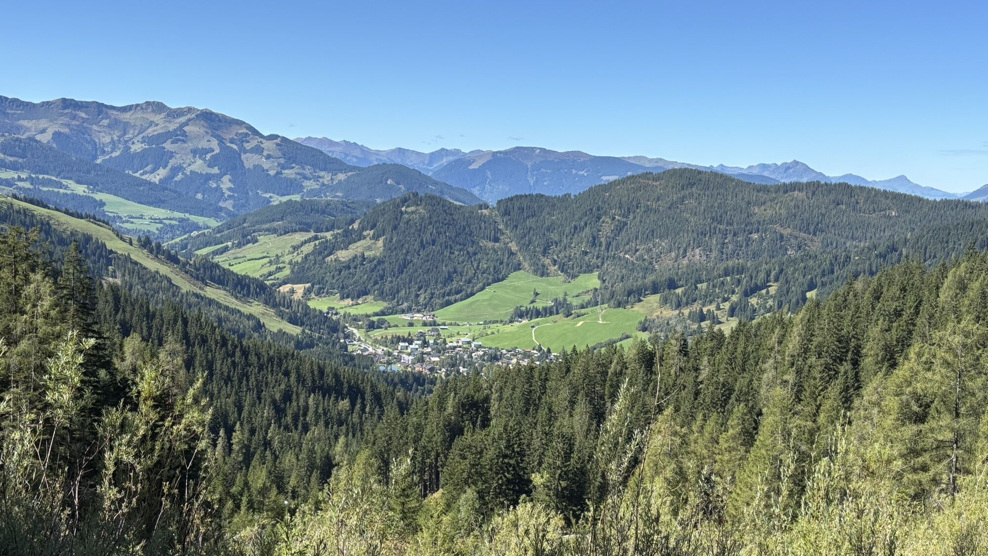
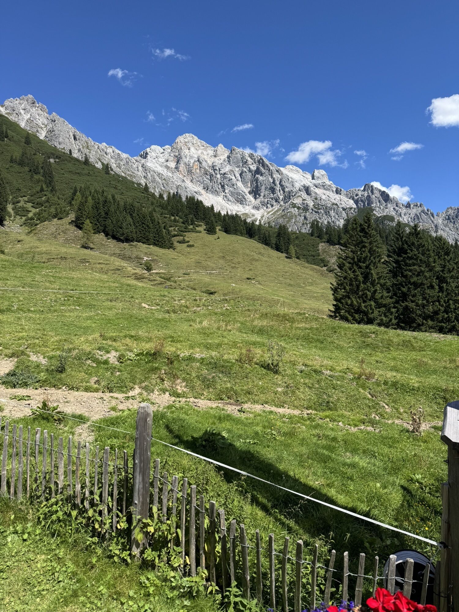
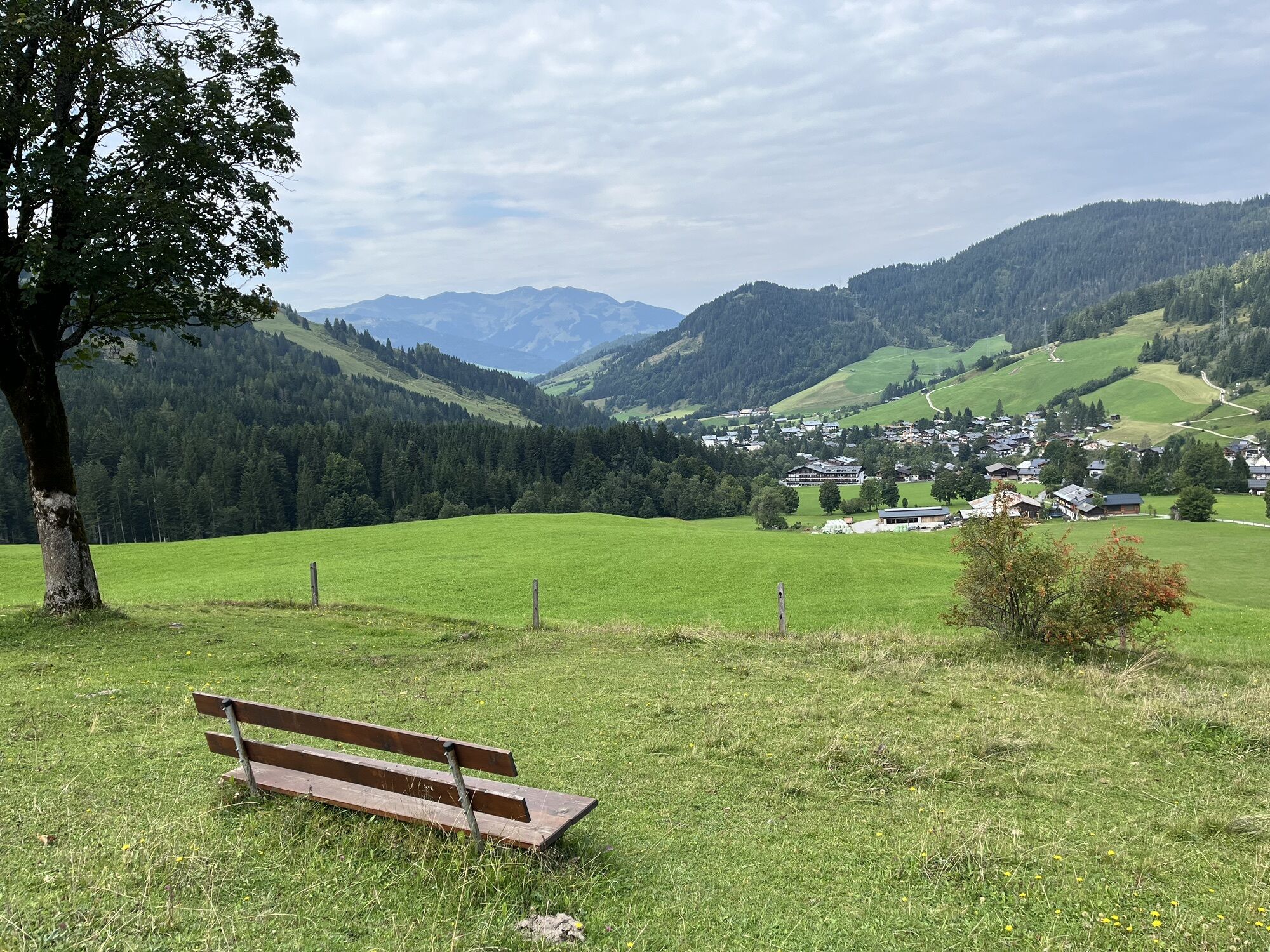
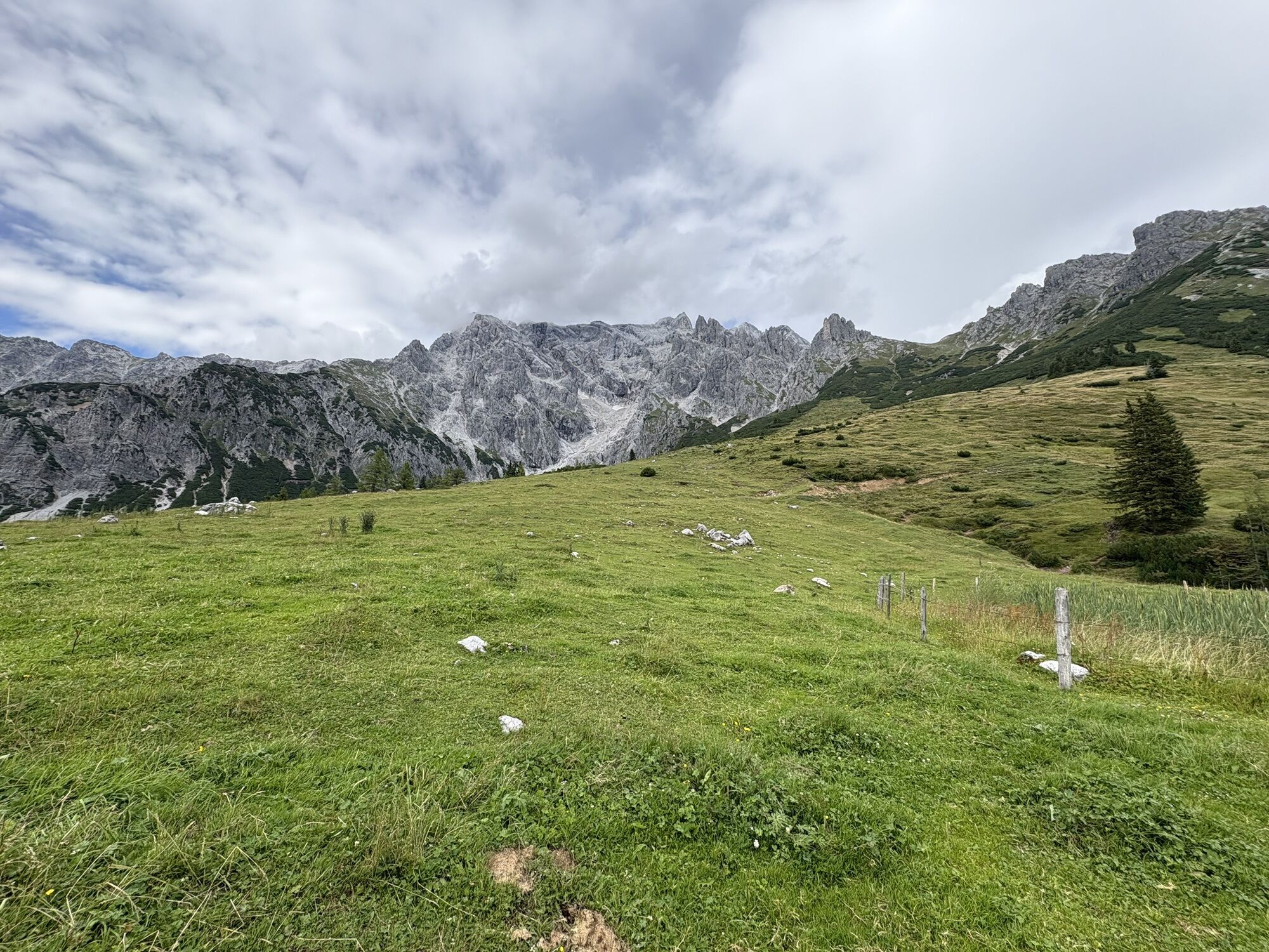
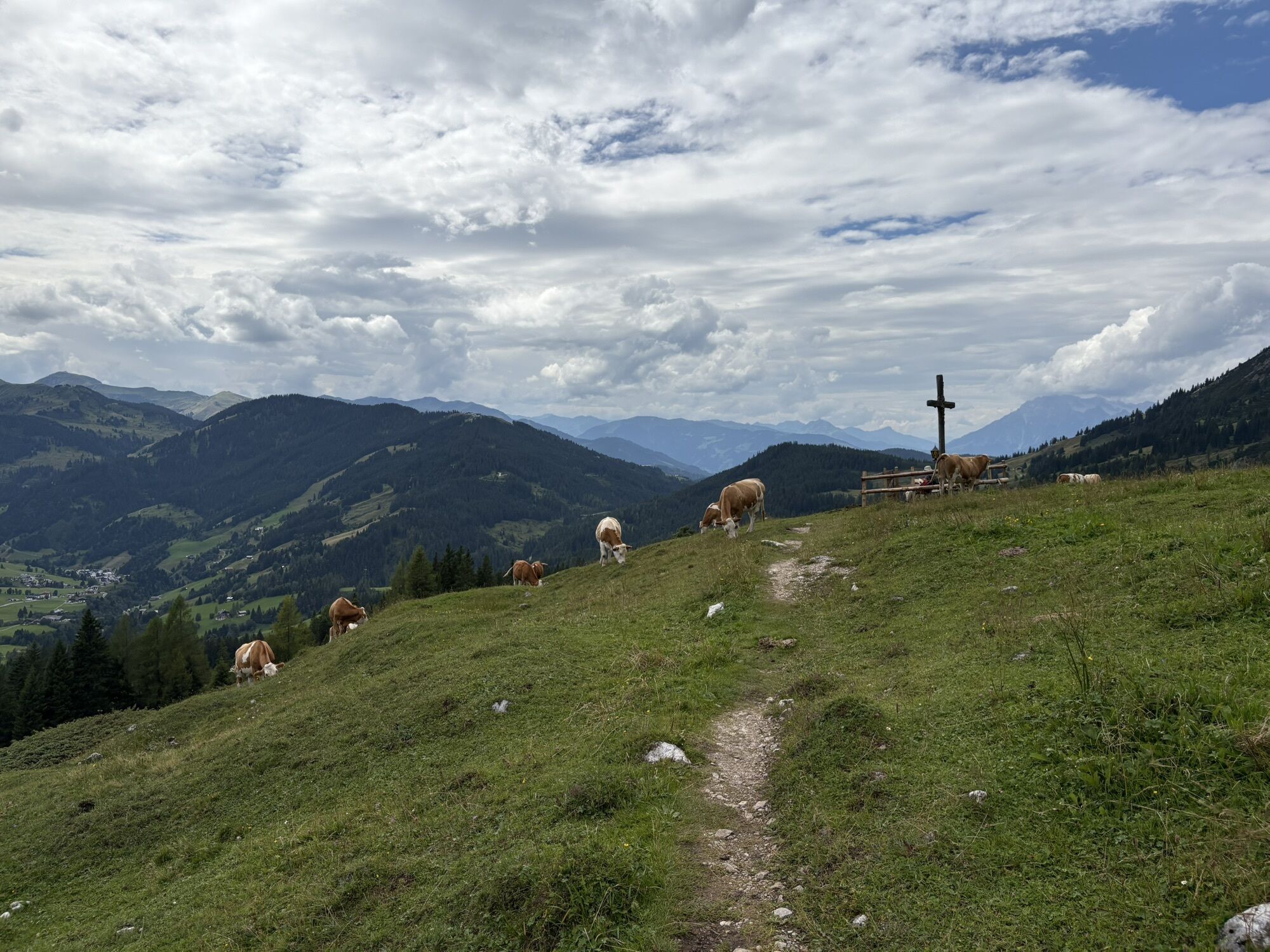
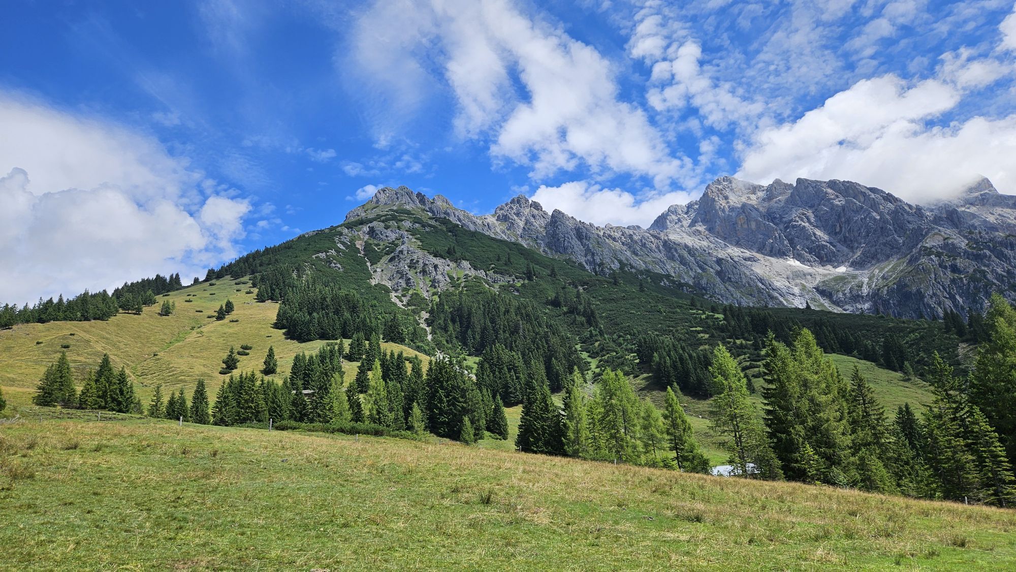
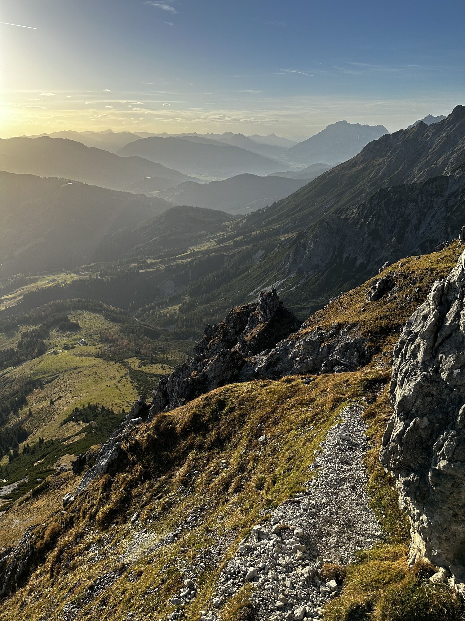
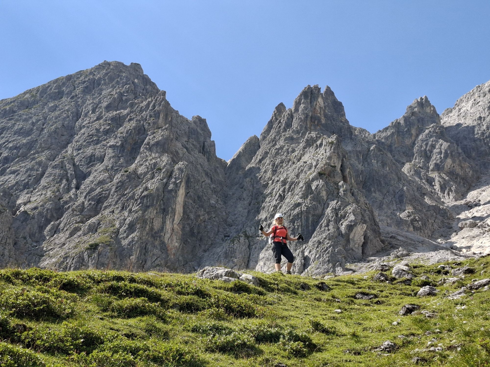
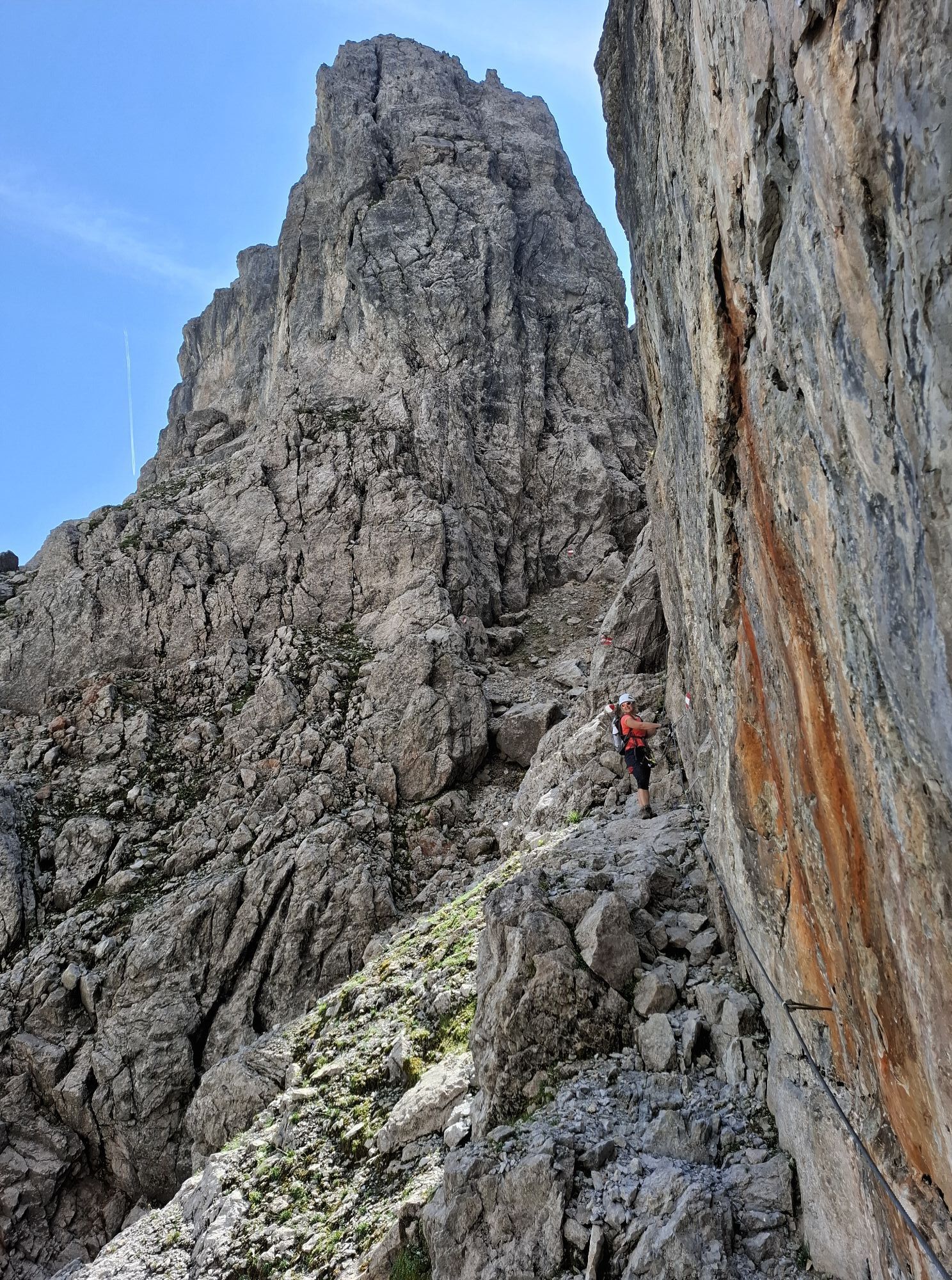
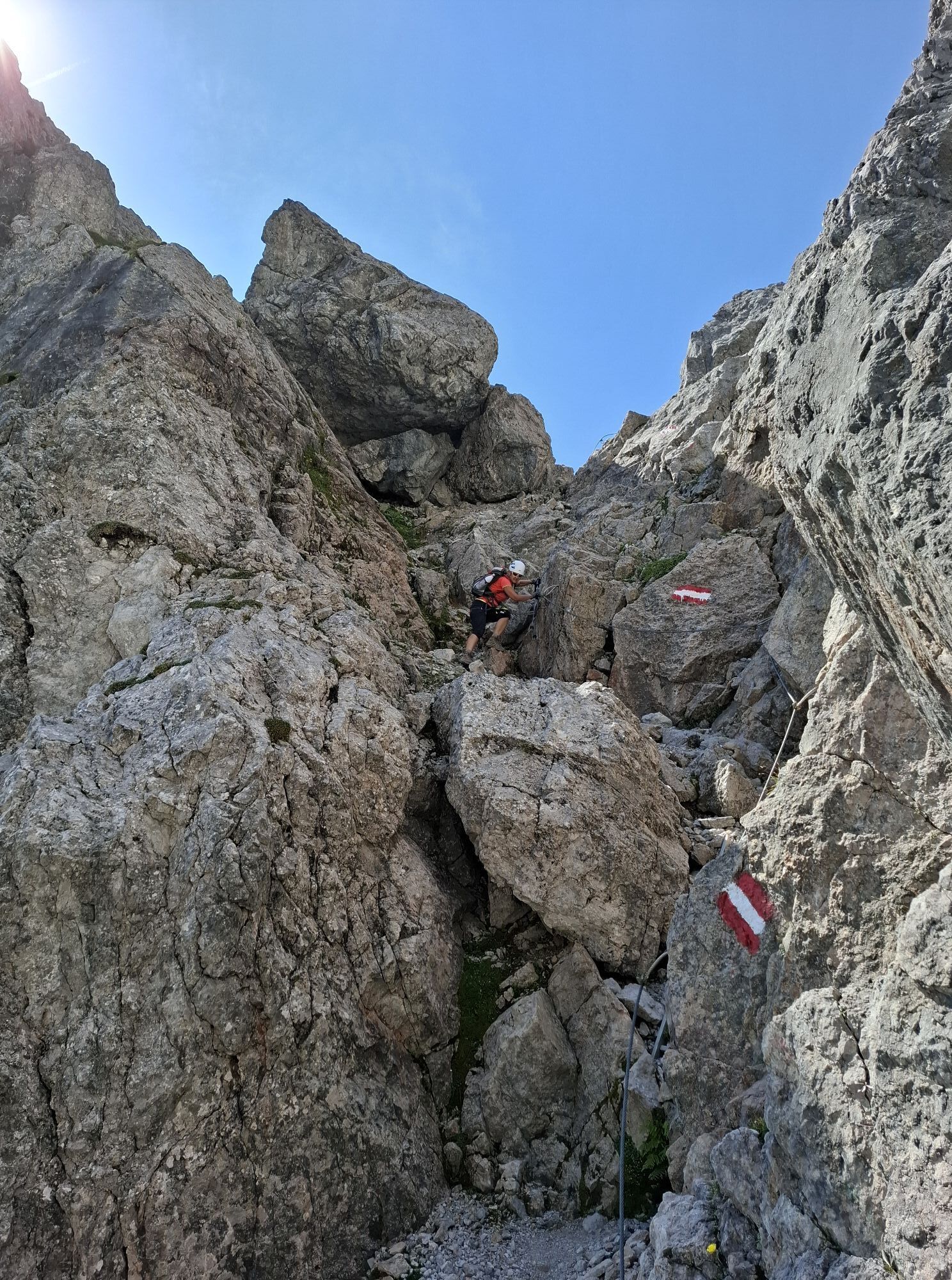
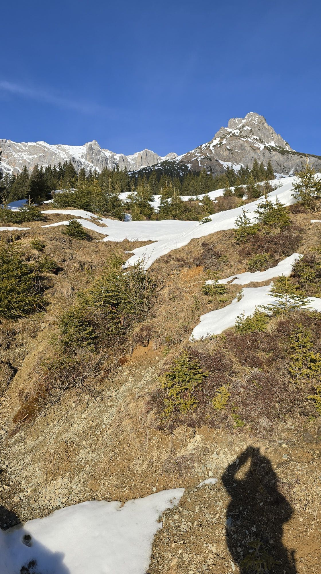
Photos from our users
-
 © JordyCreated on 15.07.2025
 -
 © Josef Miller 1Created on 26.10.2024
 -

 © Monika JeskovaCreated on 18.10.2025
 -
 © Monika JeskovaCreated on 18.10.2025
 -
 © Monika JeskovaCreated on 18.10.2025
 -
 © Monika JeskovaCreated on 18.10.2025
 -
 © Monika JeskovaCreated on 18.10.2025
 -
 © Monika JeskovaCreated on 18.10.2025
 -
 © Monika JeskovaCreated on 18.10.2025
 -
 © Monika JeskovaCreated on 18.10.2025
 -
 © Monika JeskovaCreated on 18.10.2025
 -
 © Monika JeskovaCreated on 18.10.2025
 -
 © Simone RatasichCreated on 15.09.2025
 -
 © Simone RatasichCreated on 15.09.2025
 -
 © Simone RatasichCreated on 15.09.2025
 -
 © Simone RatasichCreated on 15.09.2025
 -
 © Simone RatasichCreated on 15.09.2025
 -
 © Simone RatasichCreated on 15.09.2025
 -

 © Katrin VietzkeCreated on 01.09.2025
 -
 © Kerstin AlbrechtCreated on 27.08.2025
 -
 © Kerstin AlbrechtCreated on 27.08.2025
 -
 © Dirk VollbrechtCreated on 30.07.2025
 -
 © Dirk VollbrechtCreated on 30.07.2025
 -

 © Toni0815Created on 30.07.2025
 -
 © Toni0815Created on 30.07.2025
 -
 © Daniel PunzCreated on 27.01.2023
 -
 © Daniel PunzCreated on 27.01.2023
 -
 © Daniel PunzCreated on 27.01.2023
 -
 © JordyCreated on 15.07.2025
 -

 © Hannes HöffererCreated on 01.11.2024
 -
 © Hannes HöffererCreated on 01.11.2024
 -
 © Hannes HöffererCreated on 01.11.2024
 -
 © Josef Miller 1Created on 26.10.2024
 -
 © Josef Miller 1Created on 26.10.2024
 -
 © Josef Miller 1Created on 26.10.2024
 -
 © Josef Miller 1Created on 26.10.2024
 -
 © Josef Miller 1Created on 26.10.2024
 -

 © Klaus NeuholdCreated on 02.09.2024
 -
 © Klaus NeuholdCreated on 02.09.2024
 -
 © Klaus NeuholdCreated on 02.09.2024
 -
 © Klaus NeuholdCreated on 02.09.2024
 -
 © Klaus NeuholdCreated on 02.09.2024
 -
 © WaldfredCreated on 24.10.2022
 -
 © Erich MatheisCreated on 09.08.2025
 -
 © Erich MatheisCreated on 09.08.2025
 -
 © Erich MatheisCreated on 09.08.2025
 -
 © Sigrid BöhmCreated on 20.01.2025
 -
 © Sigrid BöhmCreated on 20.01.2025


No reviews yet
Popular tours in the neighbourhood
-
4.8
Summit storming route Taghaube
heavyHiking 6.25 km -
4.9
Hochkönig - Gipfel der Gefühle - Matrashaus
heavyHiking 20.9 km -
3.8
Hochkönig summit route - main ascent
heavyHiking 18.1 km -
4.7
Panorama hike to the Hochkeil
mediumHiking 6.07 km -
4.8
Summit stormer route Lauskopf
heavyHiking 8.16 km -
3.6
Wanderung zur Ostpreußenhütte in Werfen (1.630 m)
mediumHiking 11.2 km -
4.7
About the "Four Huts circular route" to Windraucheggalm
mediumHiking 10.1 km -
5.0
Königssee - Kärlinger-Haus
Hiking 10.1 km -
3.7
Auf die Ostpreussenhütte
mediumHiking 16.6 km -
4.4
Riemannhaus
heavyHiking 3.69 km

Hiking & Tracking

Over 550.000 tour suggestions, detailed maps and an intuitive route planner make the app a must-have for all nature enthusiasts.

Don't miss out on offers and inspiration for your next holiday
Subscribe to the newsletter
Error
An error has occurred. Please try again.
Thank you for your registration
Your e-mail address has been added to the mailing list.
Tours throughout Europe
Austria
Switzerland
Germany
Italy
Slovenia
France
Netherlands
Belgium
Poland
Liechtenstein
Czechia
Slovakia
Spain
Croatia
Bosnia and Herzegovina
Luxembourg
Andorra
Portugal
Iceland
United Kingdom
Ireland
Greece
Albania
North Macedonia
Malta
Norway
Montenegro
Moldova
Kosovo
Hungary
San Marino
Romania
Estonia
Latvia
Belarus
Cyprus
Lithuania
Serbia
Bulgaria
Monaco
Denmark
Sweden
Finland