2026 Berliner Höhenweg
Hiking
Navigate
Navigate
Get this tour on your mobile
2026 Berliner Höhenweg
Hiking
54.24
km
Scan the QR code and start navigation in the bergfex app

Hiking & Tracking


Distance
54.24
km
Duration
33:44
h
Ascent
5,178
m
Sea level
1,782 -
3,112
m
Track download
2026 Berliner Höhenweg
Hiking
54.24
km


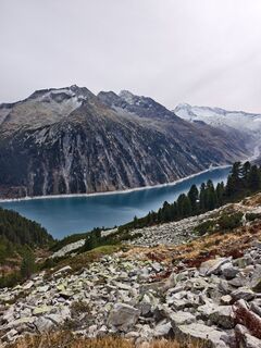
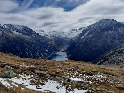
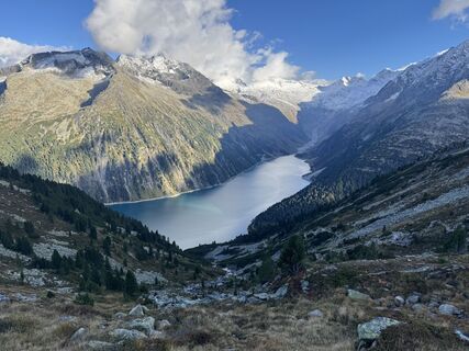
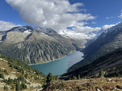
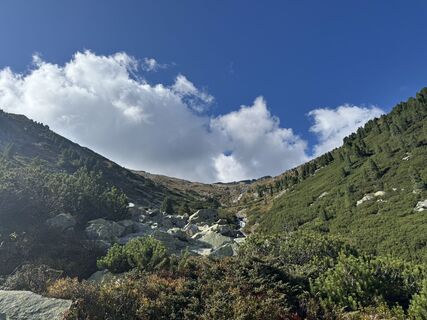
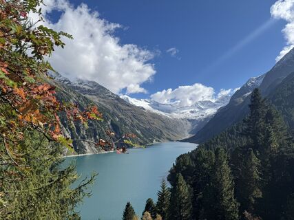
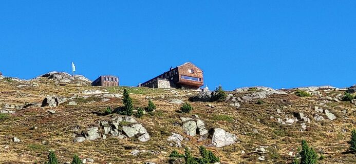
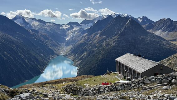
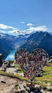
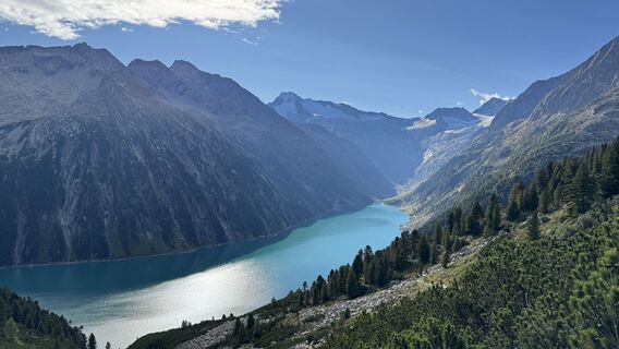
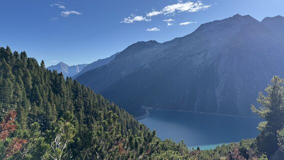
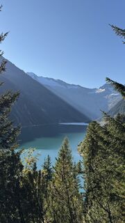
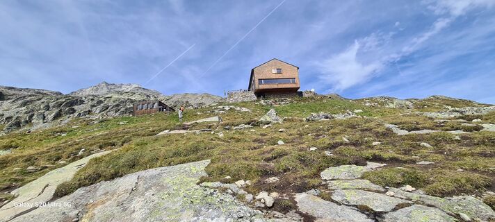
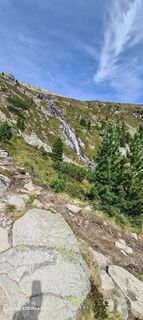
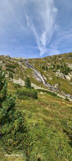
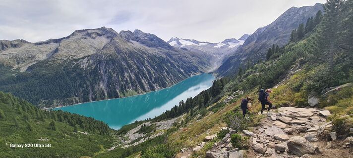
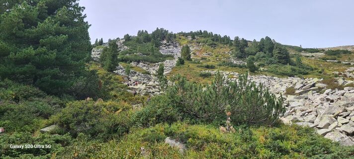
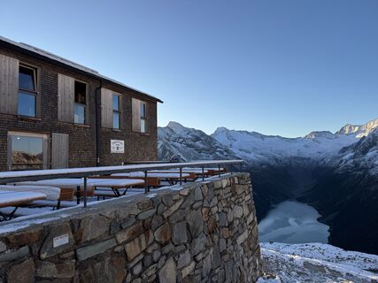
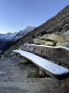
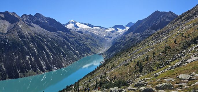
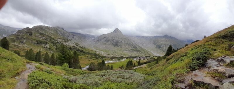
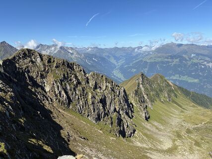
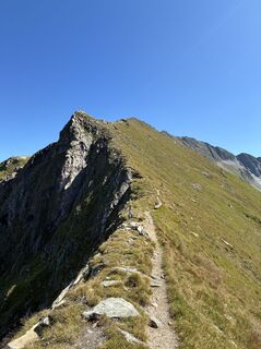
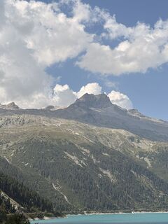
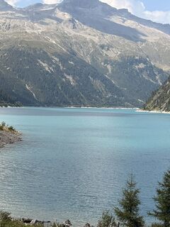
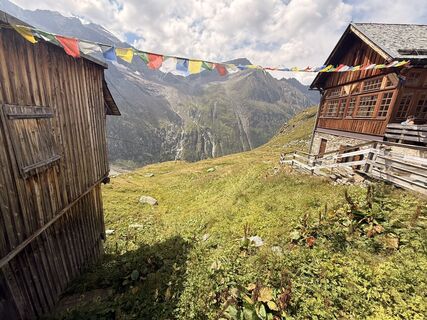
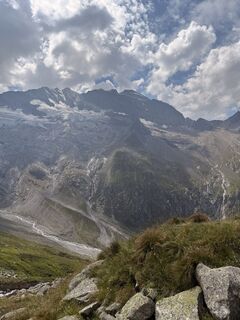
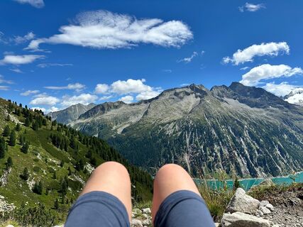
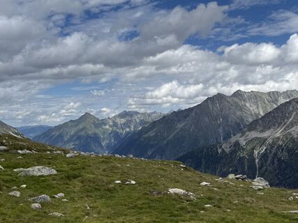
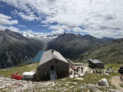
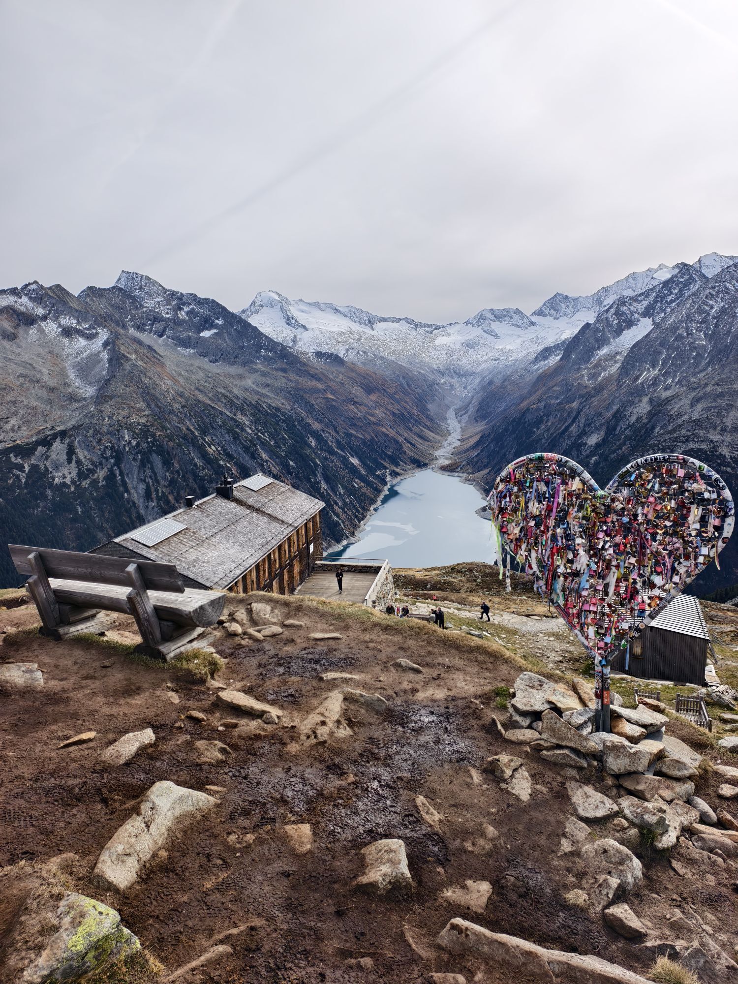
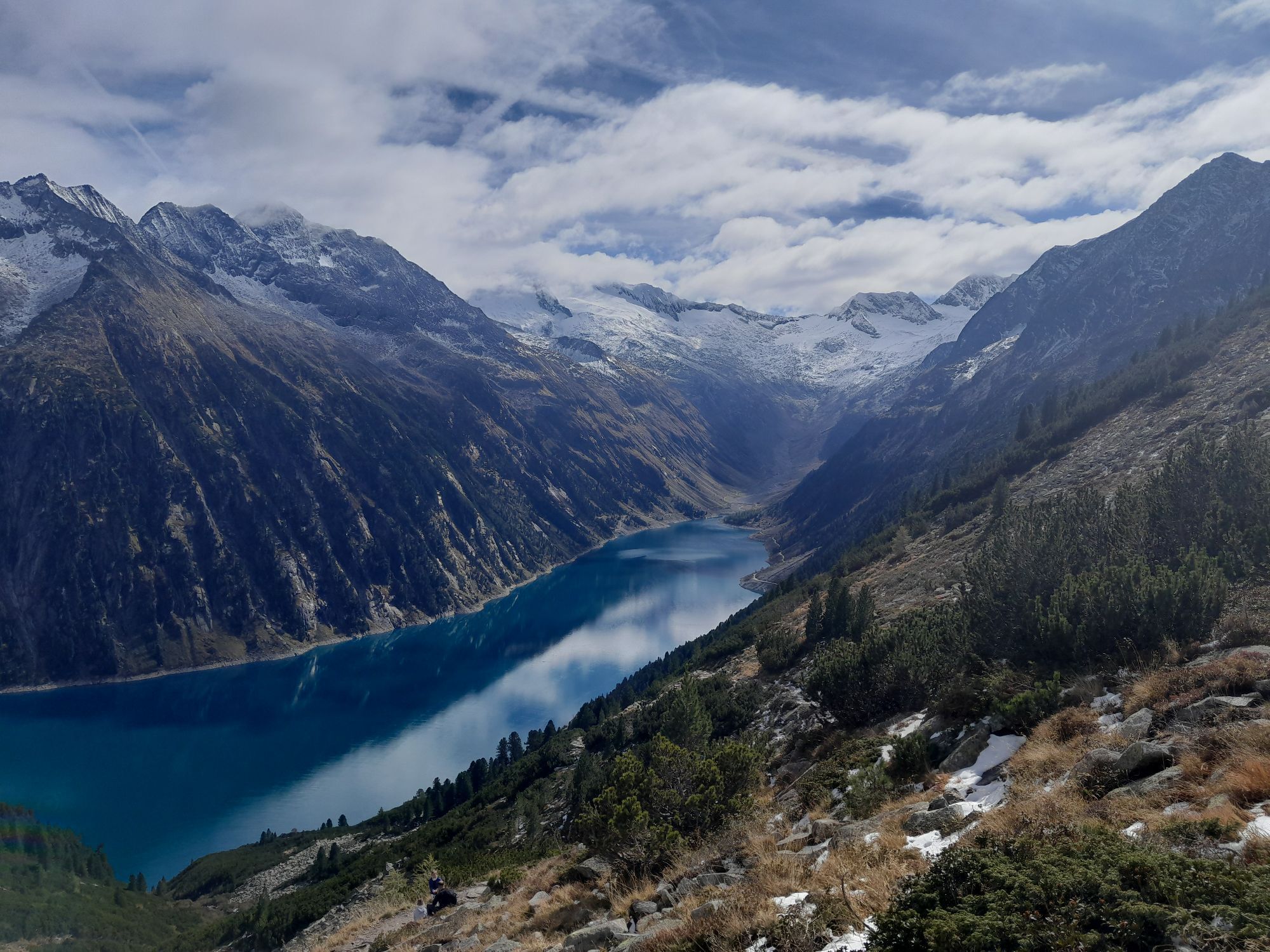
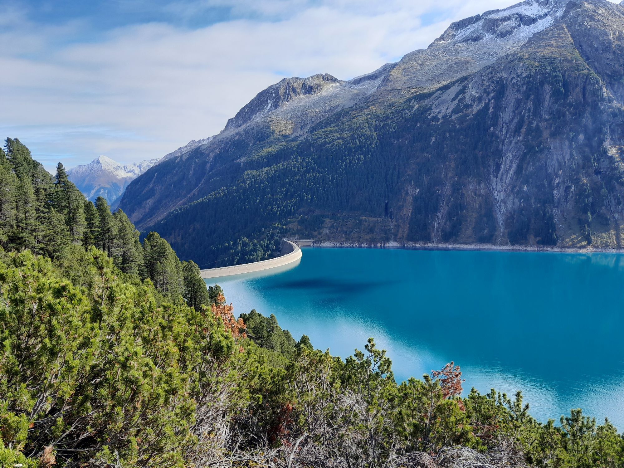
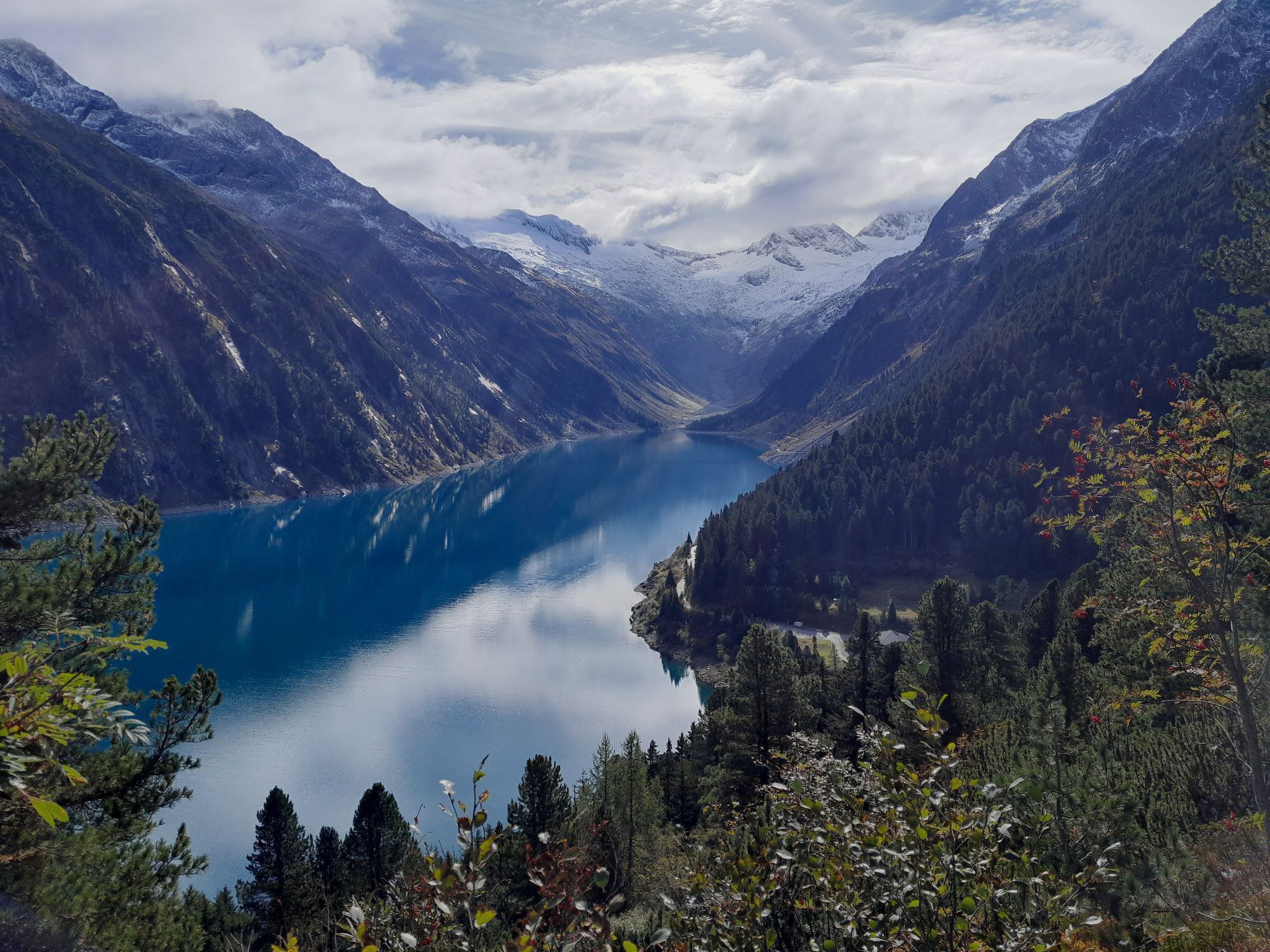
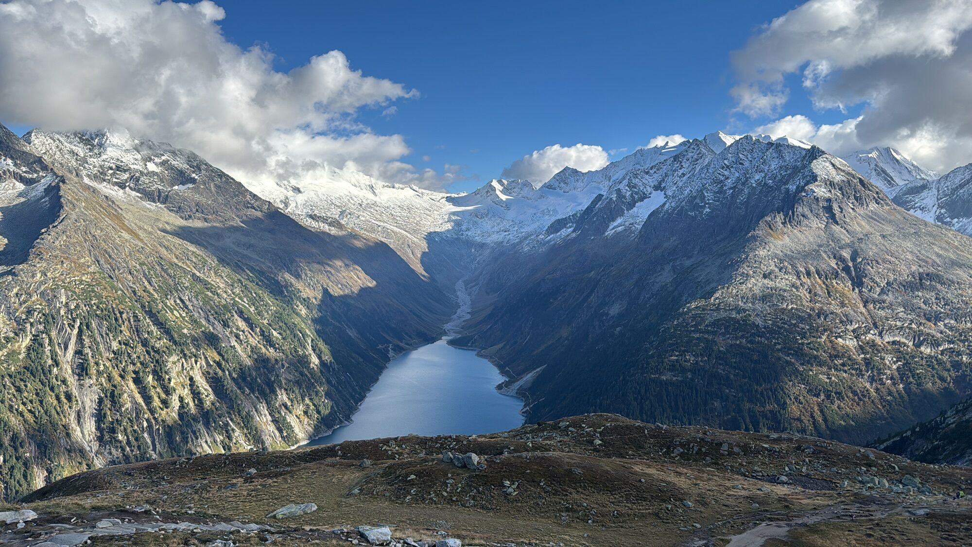
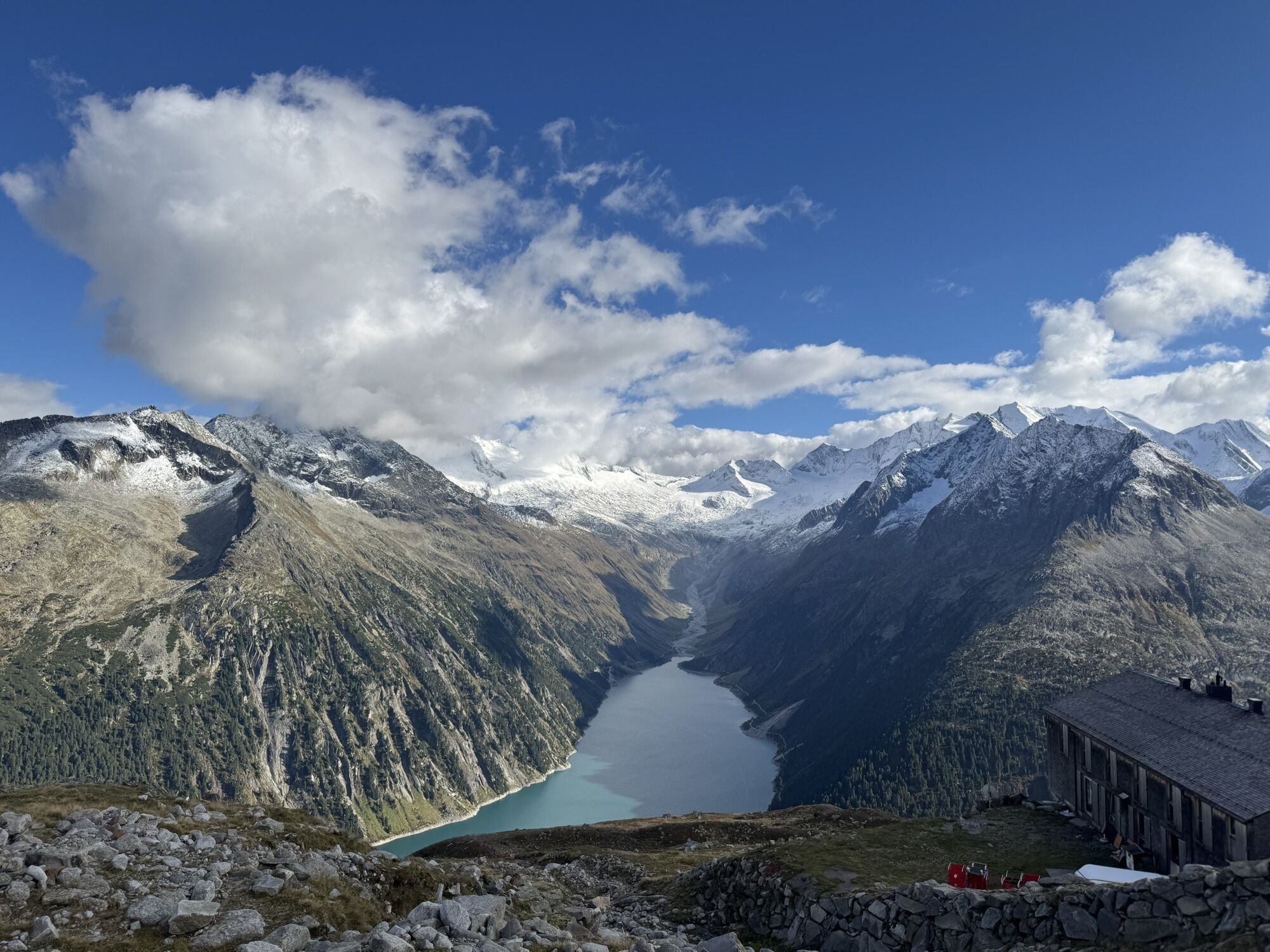
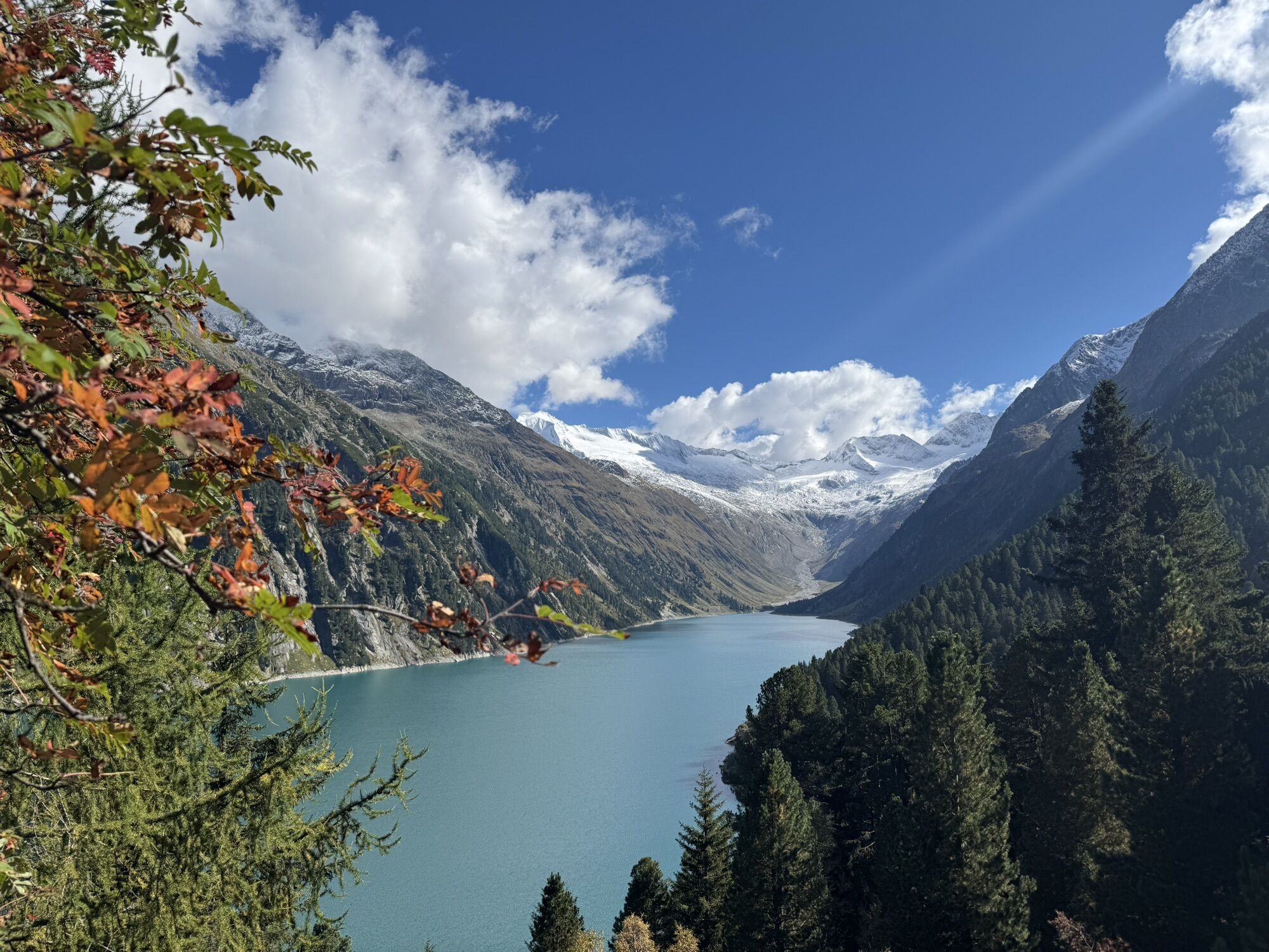
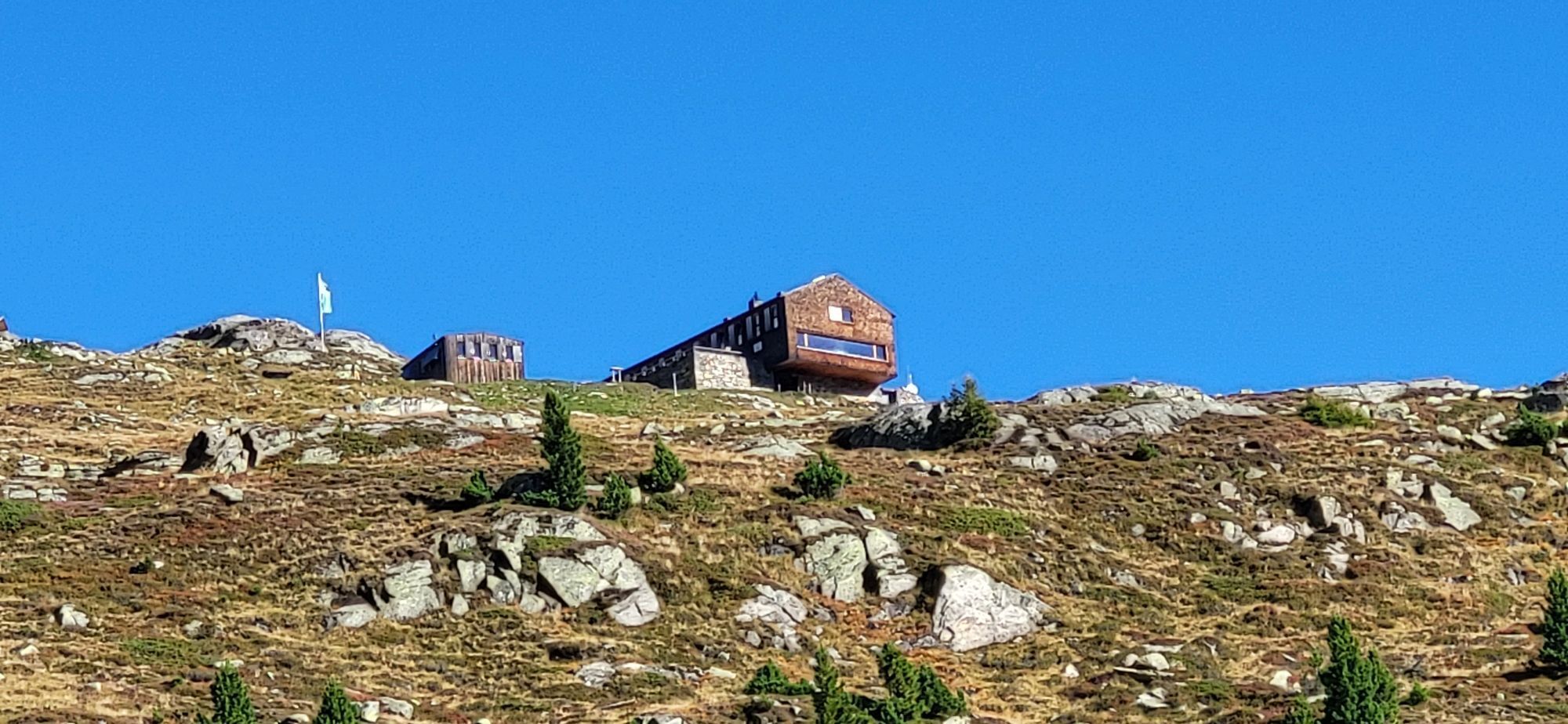
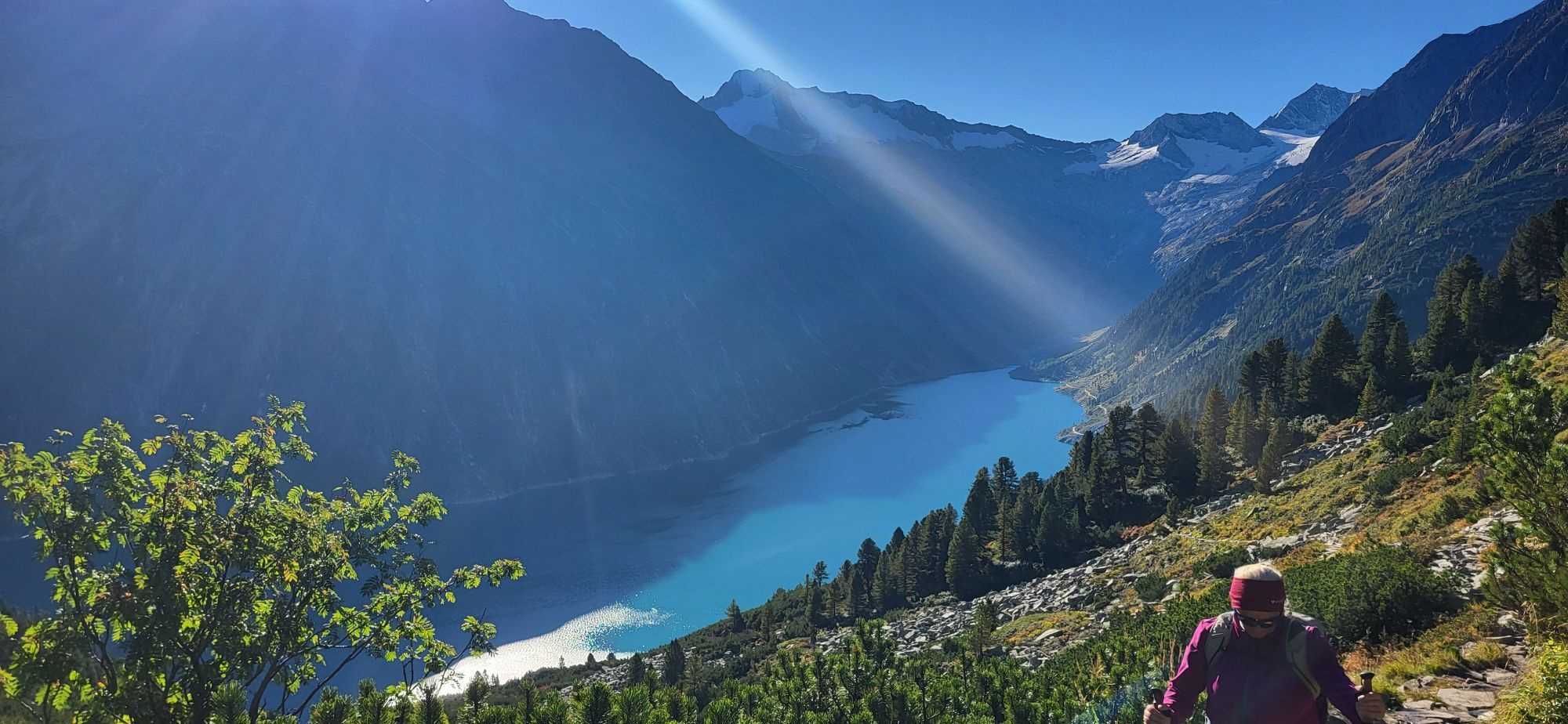
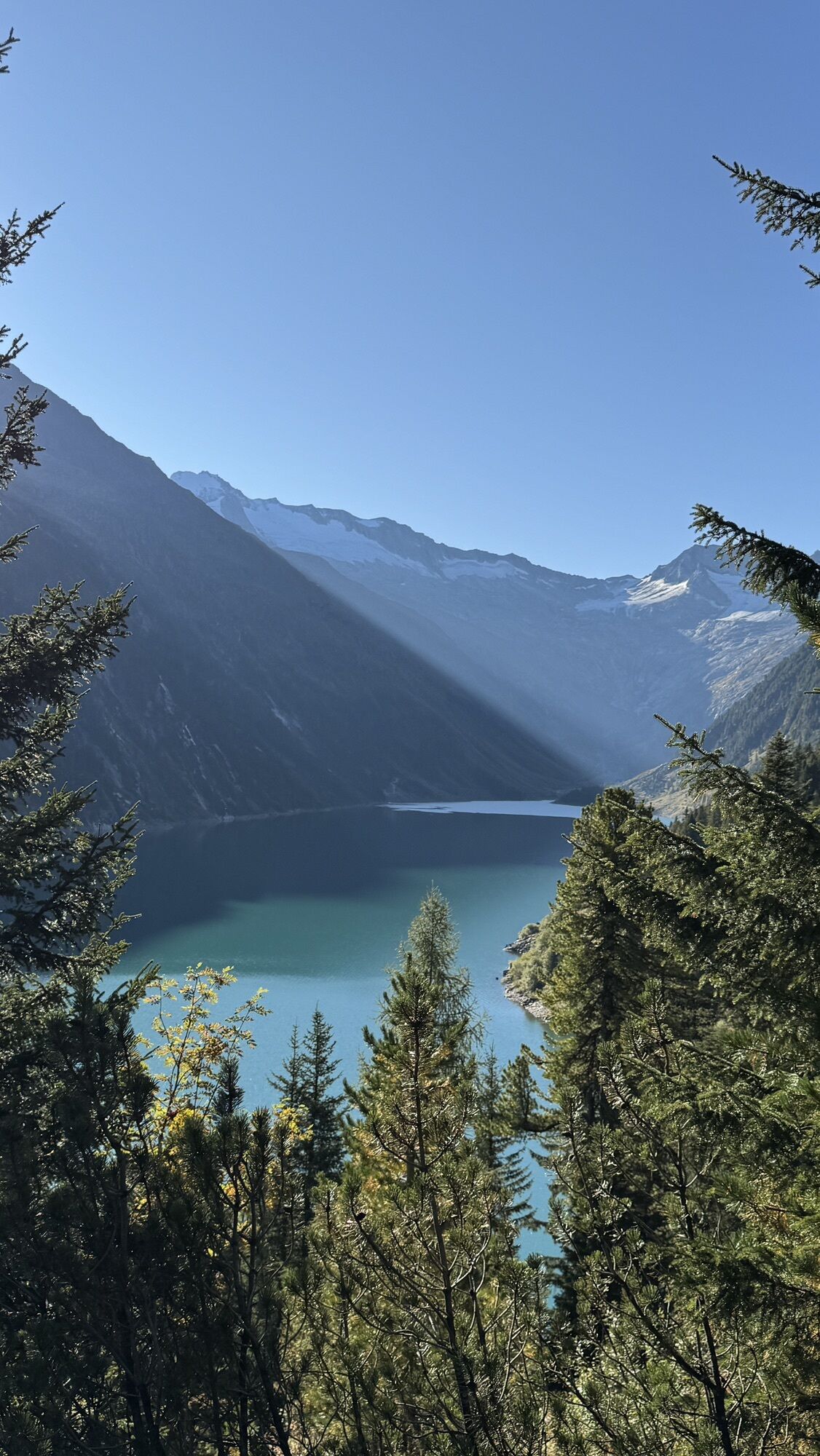
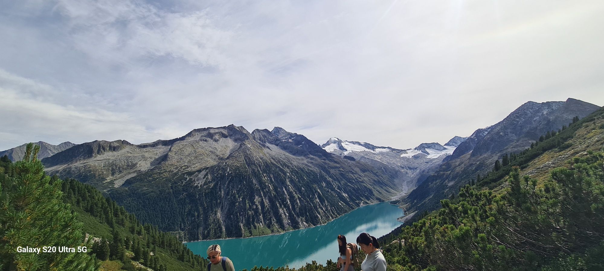
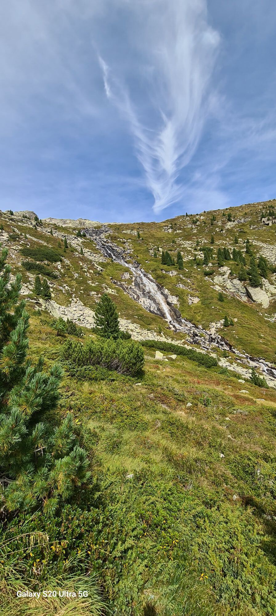
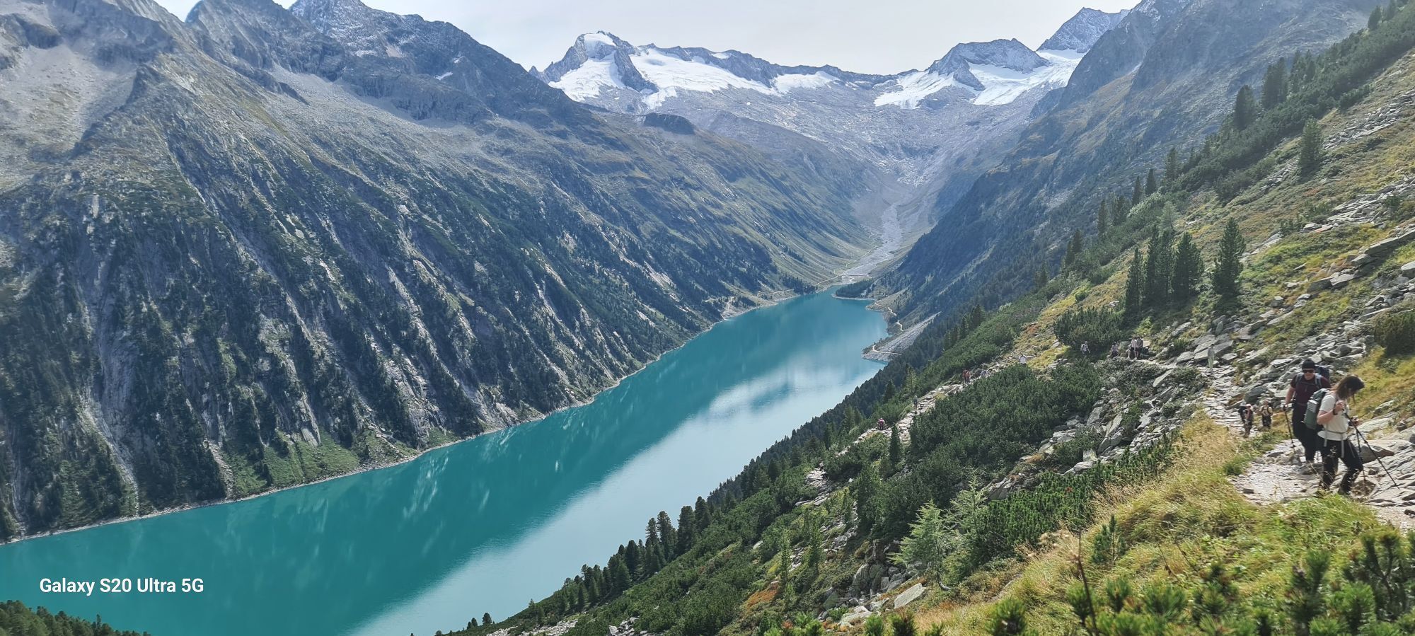
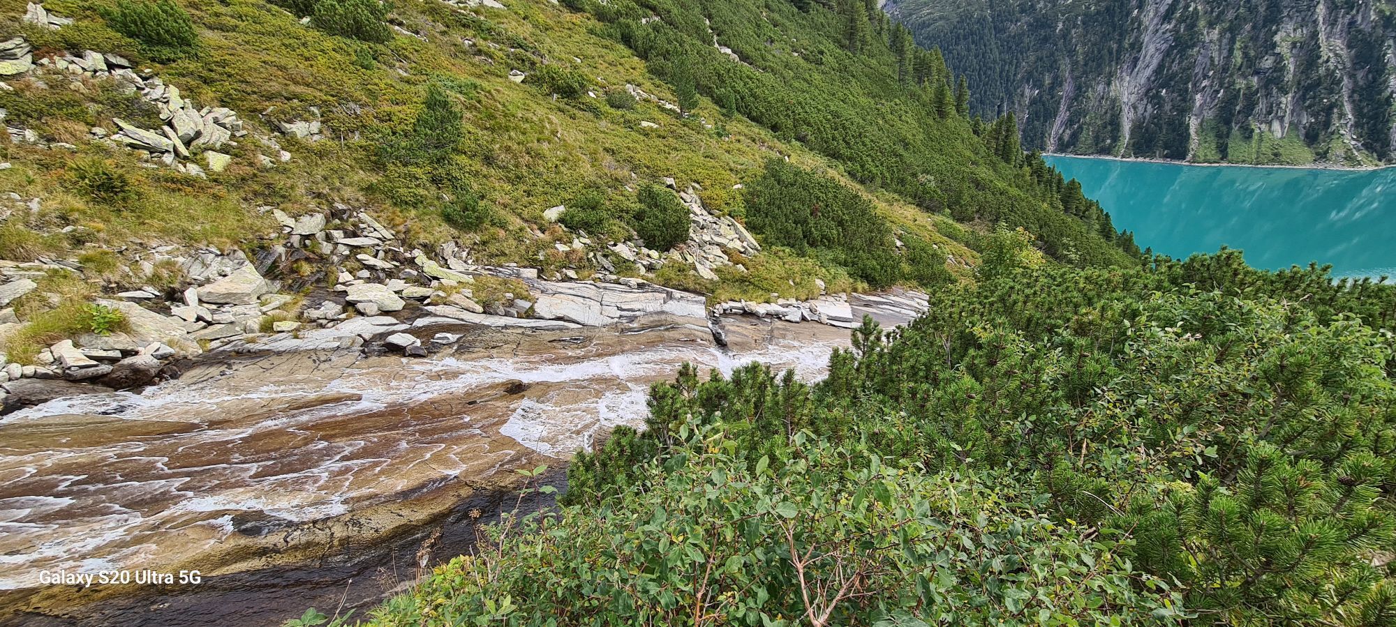
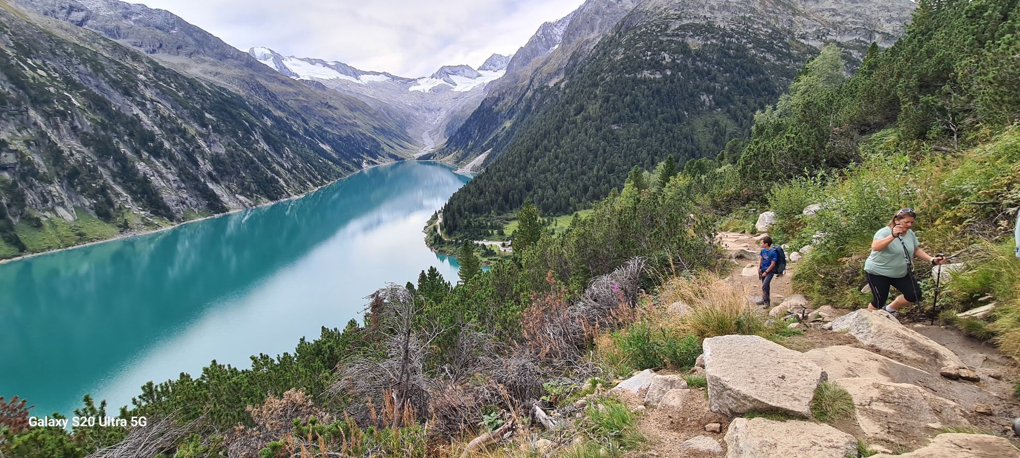
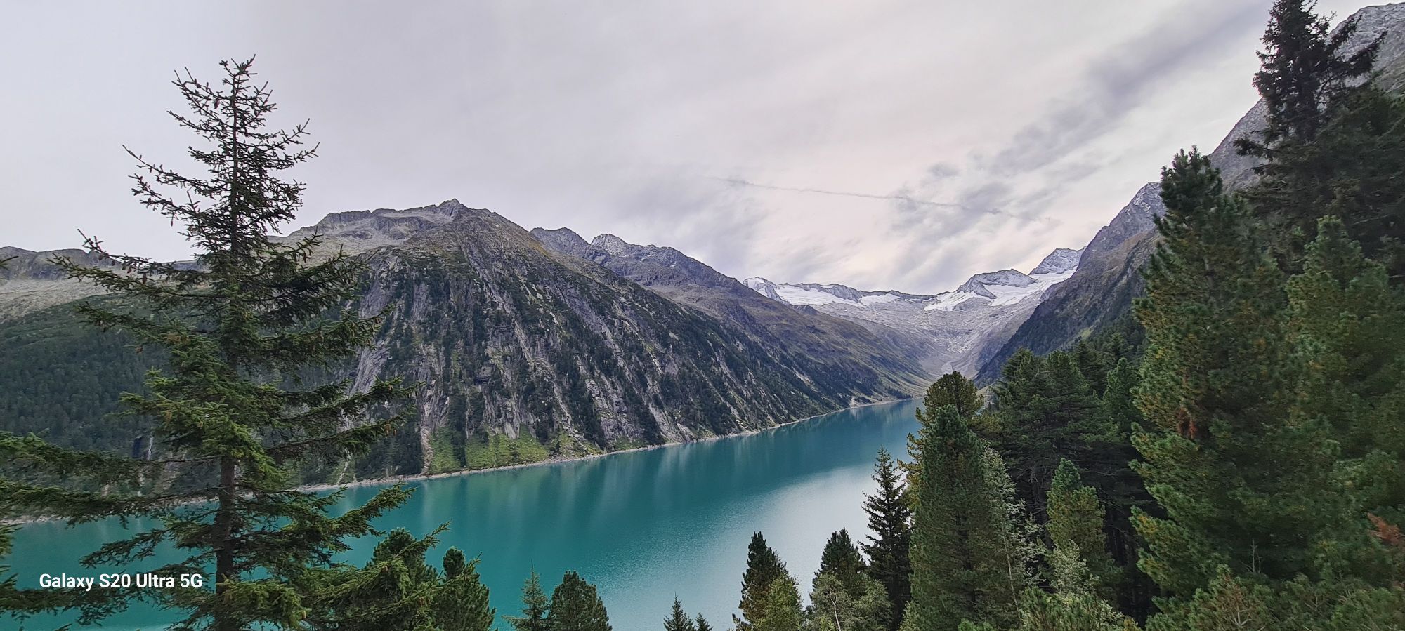
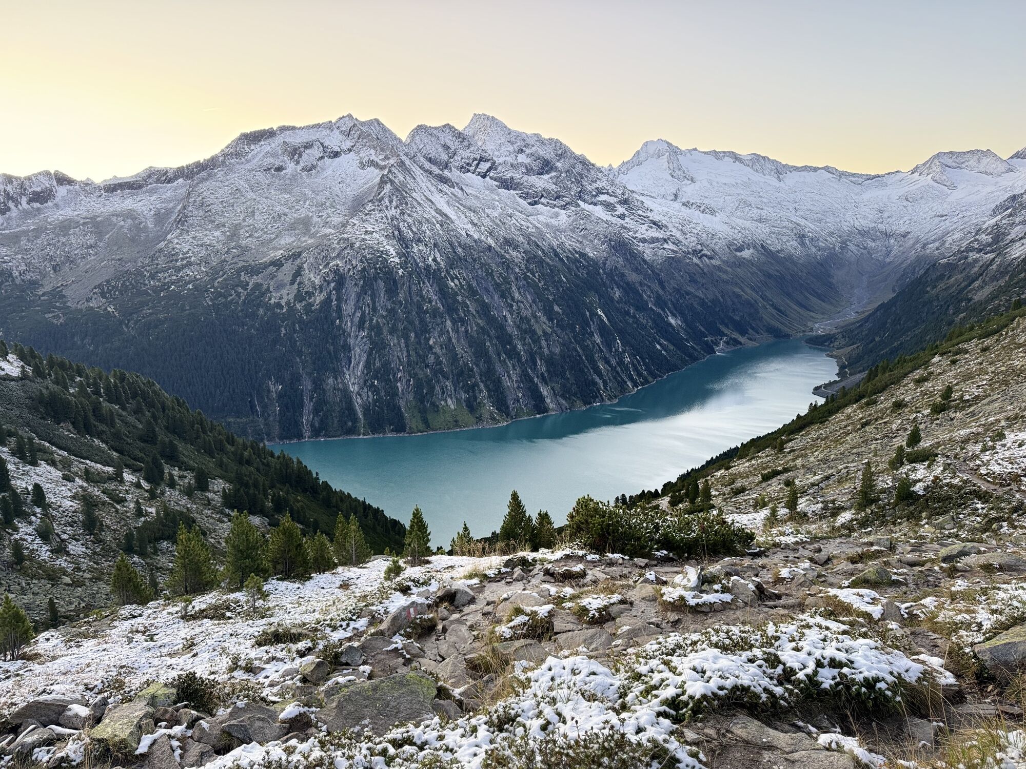
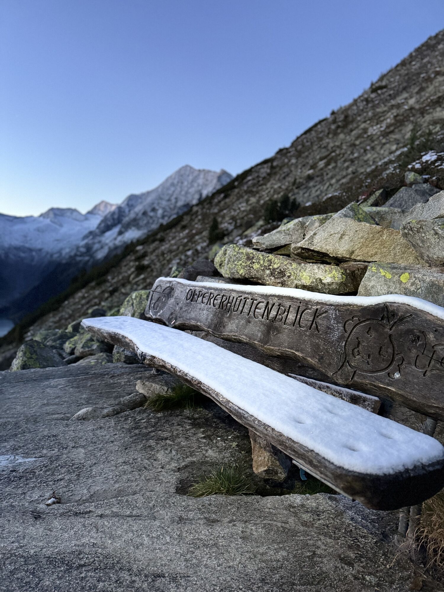
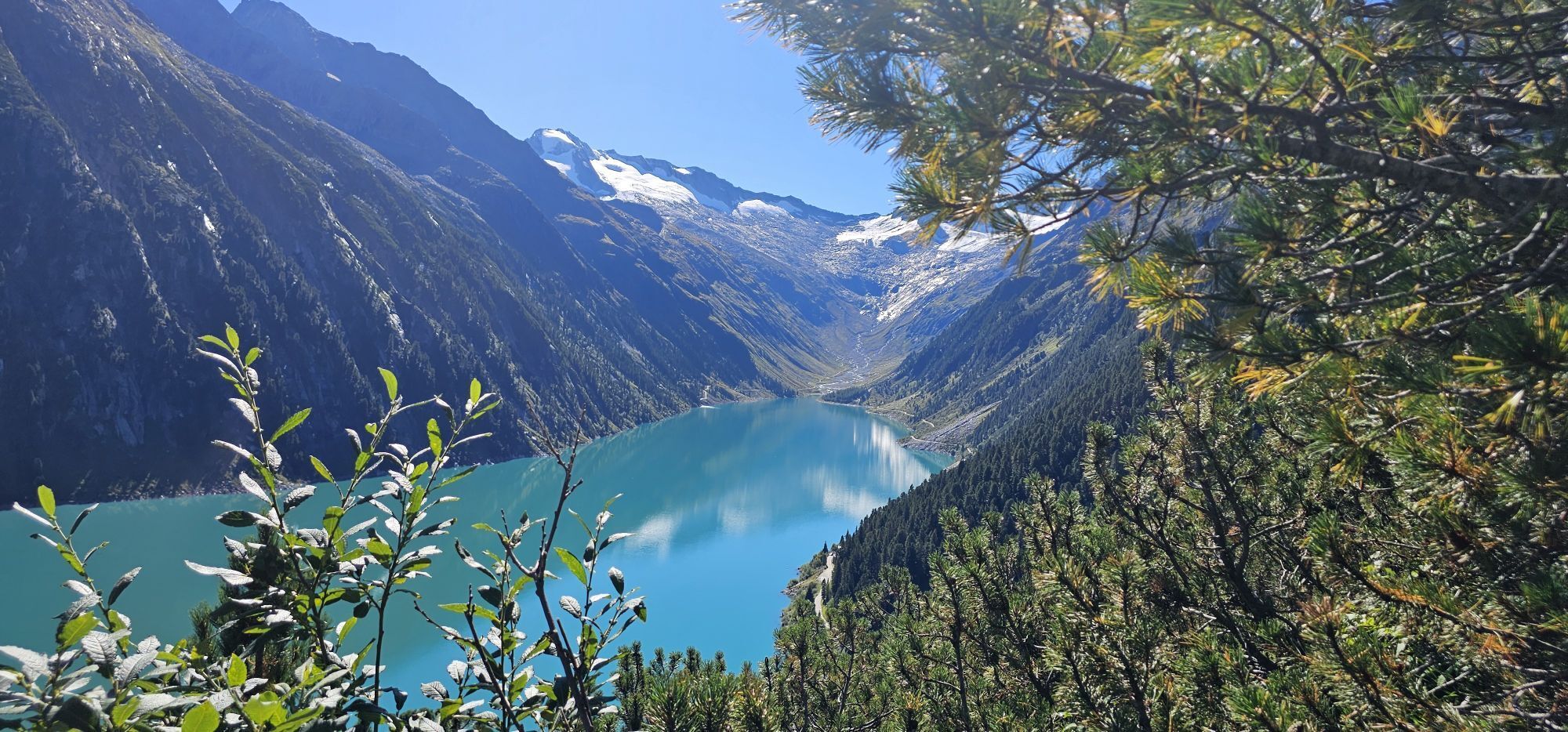
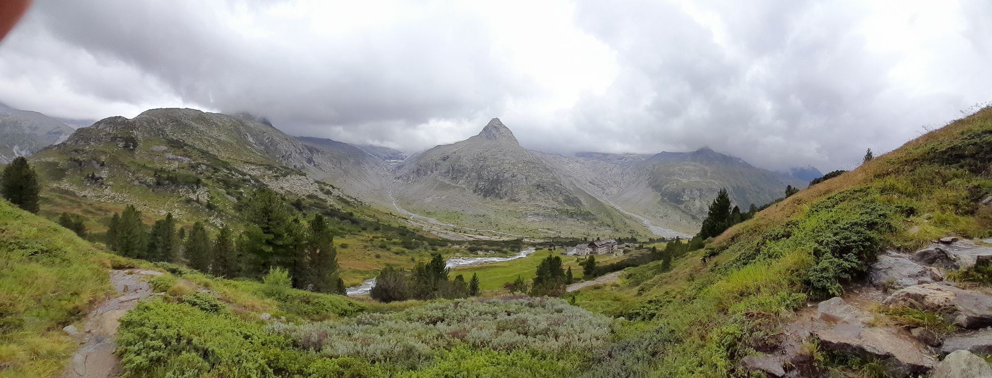
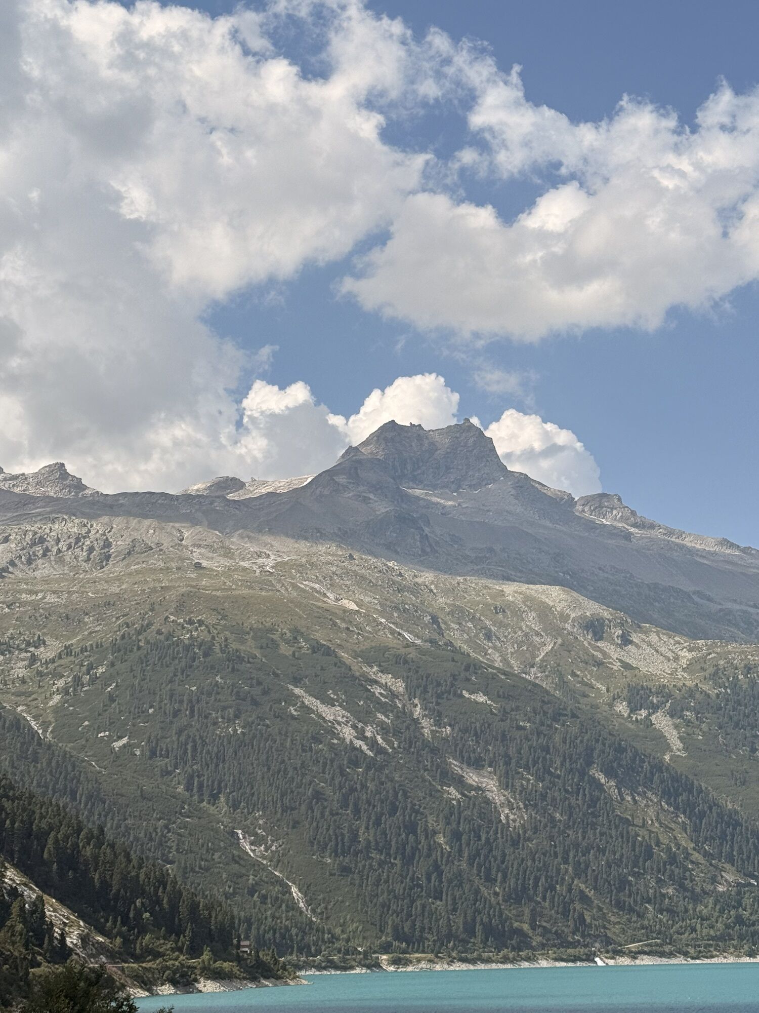
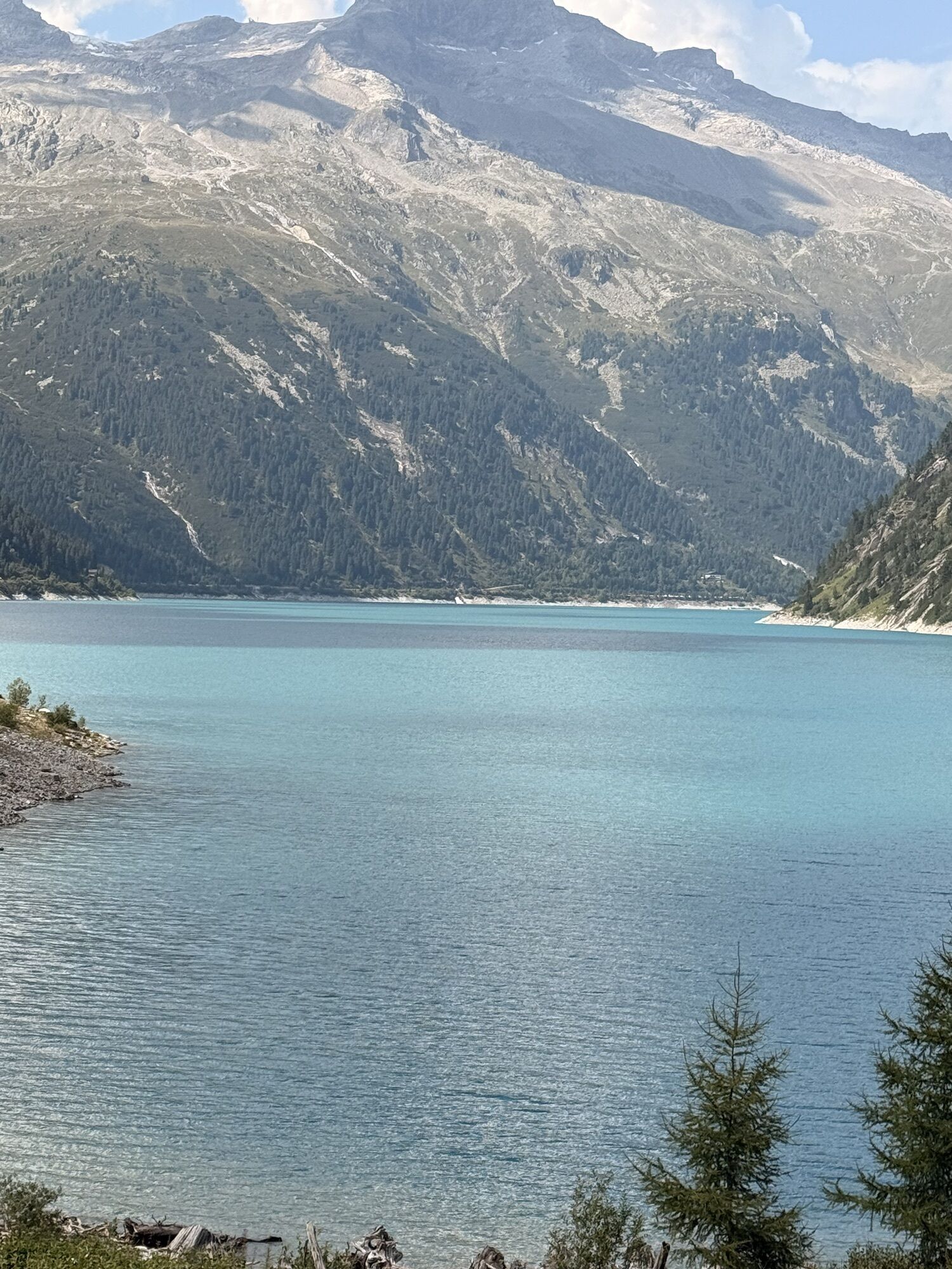
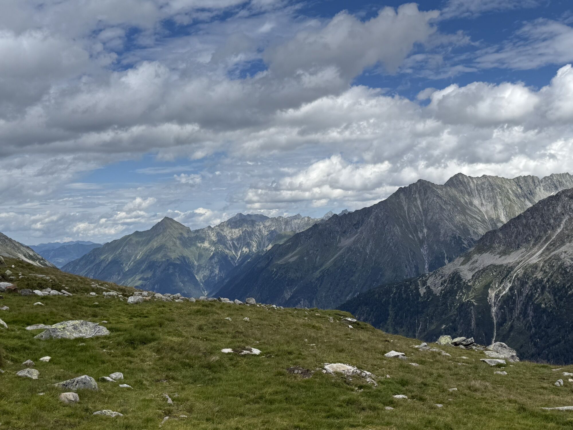
Photos from our users
-

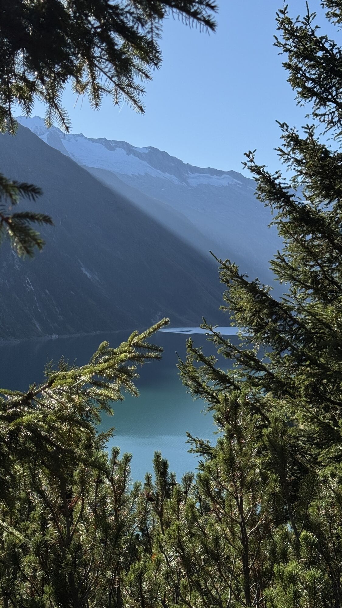
 © Porpáczy SzabinaCreated on 19.10.2025
 -
 © Porpáczy SzabinaCreated on 19.10.2025
 -
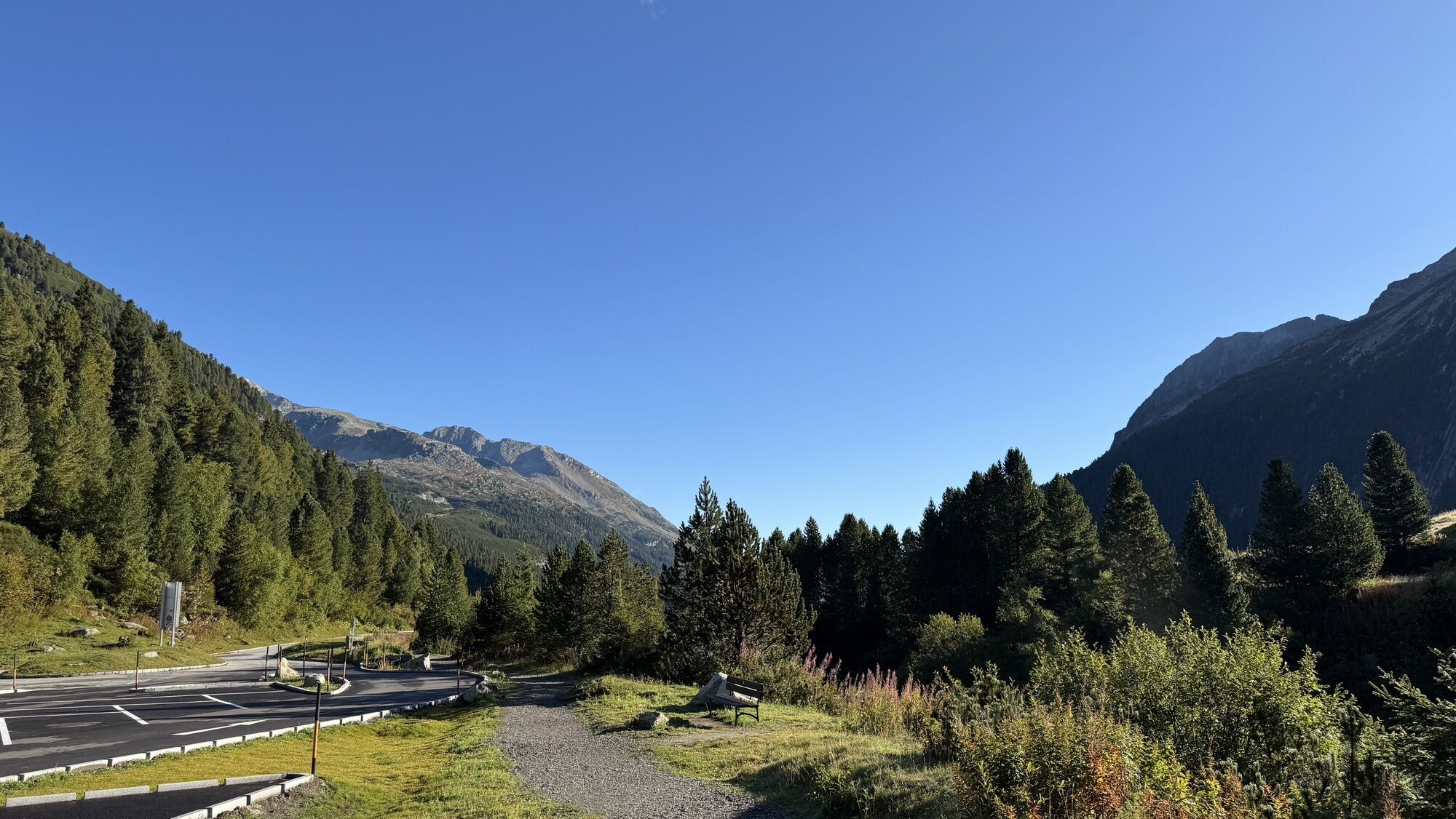
 © Roman KünzliCreated on 08.10.2025
 -
 © Roman KünzliCreated on 08.10.2025
 -
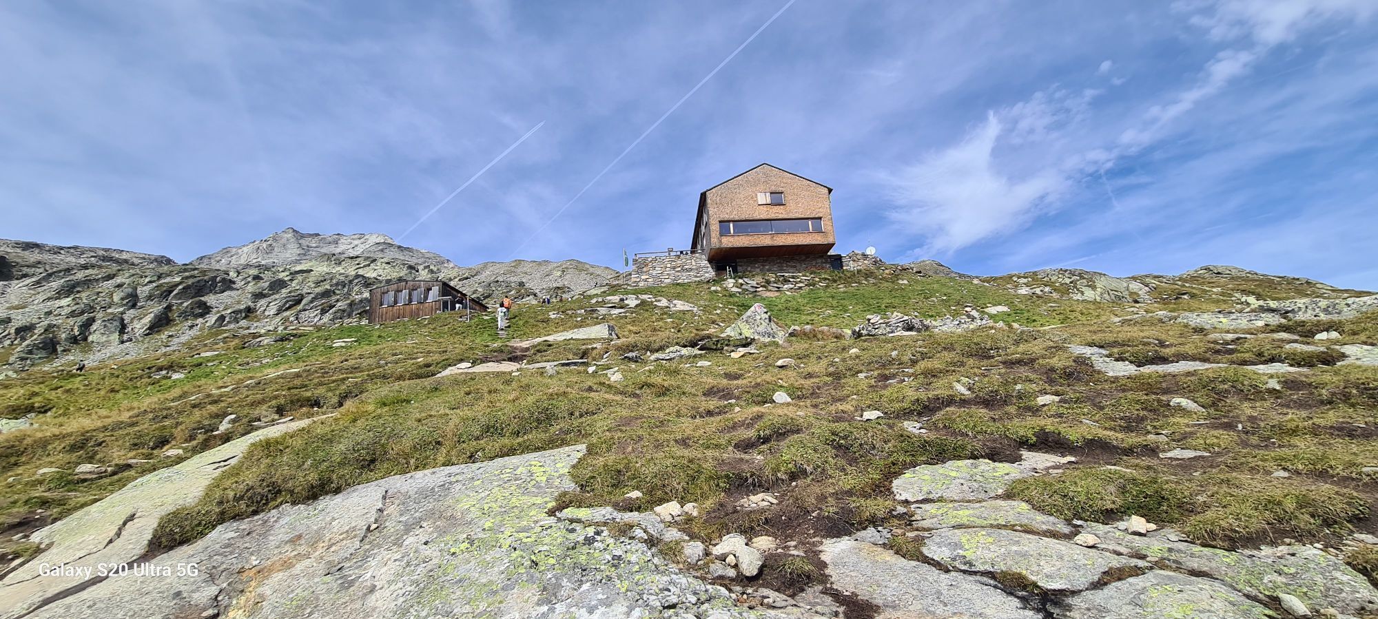
 © Roman KünzliCreated on 08.10.2025
 -
 © Roman KünzliCreated on 08.10.2025
 -
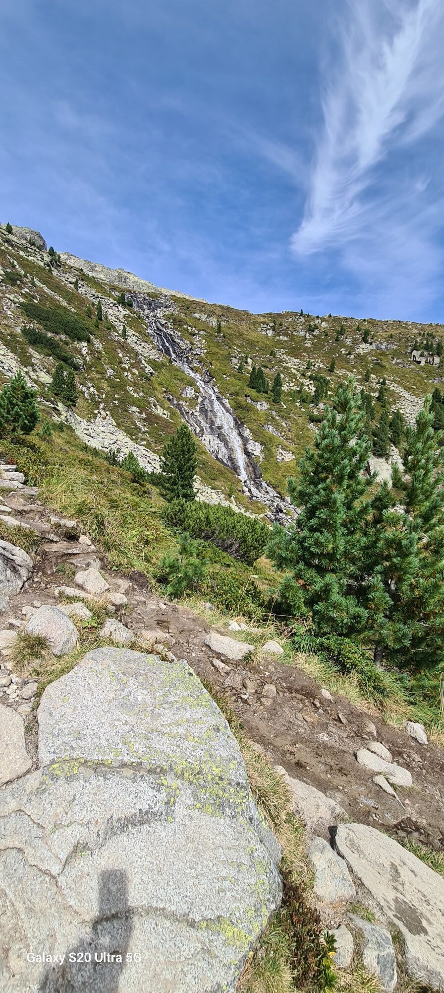
 © Stefan MariacherCreated on 28.09.2025
 -
 © Stefan MariacherCreated on 28.09.2025
 -
 © Stefan MariacherCreated on 28.09.2025
 -
 © Stefan MariacherCreated on 28.09.2025
 -
 © Stefan MariacherCreated on 28.09.2025
 -
 © Stefan MariacherCreated on 28.09.2025
 -
 © MarianneCreated on 15.09.2025
 -
 © MarianneCreated on 15.09.2025
 -
 © Sebastiaan LaneyCreated on 11.09.2025
 -
 © Sebastiaan LaneyCreated on 11.09.2025
 -
 © Sebastiaan LaneyCreated on 11.09.2025
 -
 © Sebastiaan LaneyCreated on 11.09.2025
 -
 © Sebastiaan LaneyCreated on 11.09.2025
 -
 © Sebastiaan LaneyCreated on 11.09.2025
 -
 © Sebastiaan LaneyCreated on 11.09.2025
 -
 © Rafal BuijsCreated on 07.09.2025
 -
 © Rafal BuijsCreated on 07.09.2025
 -
 © Rafal BuijsCreated on 07.09.2025
 -
 © Rafal BuijsCreated on 07.09.2025
 -
 © Rafal BuijsCreated on 07.09.2025
 -
 © Rafal BuijsCreated on 07.09.2025
 -
 © Rafal BuijsCreated on 07.09.2025
 -
 © Rafal BuijsCreated on 07.09.2025
 -
 © Rafal BuijsCreated on 07.09.2025
 -
 © Rafal BuijsCreated on 07.09.2025
 -
 © Rafal BuijsCreated on 07.09.2025
 -
 © Lea RicklefsCreated on 06.09.2025
 -
 © Lea RicklefsCreated on 06.09.2025
 -
 © Lea RicklefsCreated on 06.09.2025
 -
 © Péter SzelencsikCreated on 31.08.2025
 -
 © Péter SzelencsikCreated on 31.08.2025
 -
 © Fiet haenenCreated on 22.08.2025
 -
 © Kristina 1Created on 18.08.2025
 -
 © Kristina 1Created on 18.08.2025
 -
 © Frank ThiesCreated on 14.08.2025
 -
 © Frank ThiesCreated on 14.08.2025
 -
 © Frank ThiesCreated on 14.08.2025
 -
 © Frank ThiesCreated on 14.08.2025
 -
 © Frank ThiesCreated on 14.08.2025
 -
 © AndiChef1Created on 05.08.2025
 -
 © AndiChef1Created on 05.08.2025
 -
 © AndiChef1Created on 05.08.2025


No reviews yet
Popular tours in the neighbourhood
-
3.9
Edelhütte
lightHiking 3.16 km -
4.8
Speikboden, Südtirol
mediumHiking 10.7 km -
4.5
Mayrhofen-Stilluptal
mediumMountainbike 18.4 km -
4.5
Ahornspitze
mediumMountain hiking 14.2 km -
4.9
Schlegeisspeicher staudam to Olpererhutte via Unterschrammachkar back Tirol/Österreich
mediumHiking 9.69 km -
4.7
Gamshütte von Finkenberg aus
mediumHiking 5.28 km -
5.0
Wanderung zur Schwarzsteinhütte
heavyHiking 17.8 km -
4.9
Friesenbergalm & Olpererhütte
heavyHiking 13.4 km -
5.0
Mayrhofen - Stillup Stausee - Kasseler Hütte
Hiking 22.5 km -
4.5
Schlegeisspeicher-Pfitscherjoch-Olpererhütte
mediumMountain hiking 19.1 km

Hiking & Tracking

Over 550.000 tour suggestions, detailed maps and an intuitive route planner make the app a must-have for all nature enthusiasts.

Don't miss out on offers and inspiration for your next holiday
Subscribe to the newsletter
Error
An error has occurred. Please try again.
Thank you for your registration
Your e-mail address has been added to the mailing list.
Tours throughout Europe
Austria
Switzerland
Germany
Italy
Slovenia
France
Netherlands
Belgium
Poland
Liechtenstein
Czechia
Slovakia
Spain
Croatia
Bosnia and Herzegovina
Luxembourg
Andorra
Portugal
Iceland
United Kingdom
Ireland
Greece
Albania
North Macedonia
Malta
Norway
Montenegro
Moldova
Kosovo
Hungary
San Marino
Romania
Estonia
Latvia
Belarus
Cyprus
Lithuania
Serbia
Bulgaria
Monaco
Denmark
Sweden
Finland