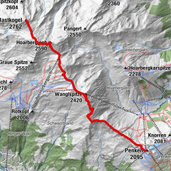
Tour data
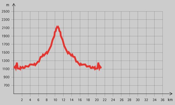
22.5km
1,125
- 2,161m
1,118hm
06:00h
- Brief description
-
Wunderschöne Wanderung durch den Stillupgrund
- Rating
-
- Starting point
-
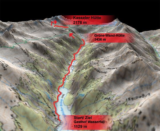
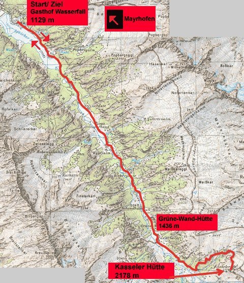
Gasthof Wasserfall (1129 m)
- Route
-
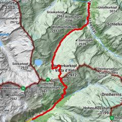
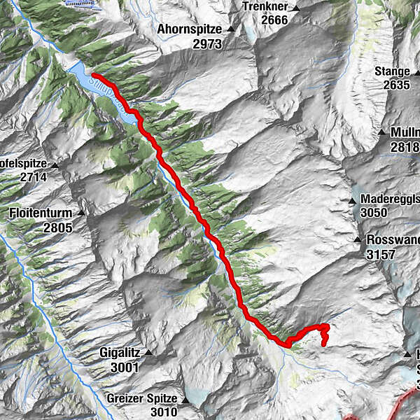
Alpengasthof Stillupperhaus3.6 kmGrüne-Wand-Hütte7.1 kmKasseler Hütte11.2 km
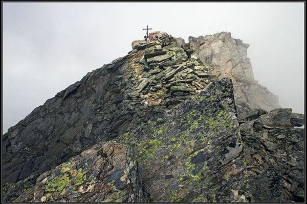
- Highest point
- 2,161 m
- Rest/Retreat
-
Gasthof Wasserfall, Grüne-Wand-Hütte, Kasseler Hütte
- Ticket material
GPS Downloads


Trail conditions
Asphalt
Gravel
Meadow
Forest
Rock
Exposed
Other tours in the regions
-
Bruneck und Umgebung / Kronplatz
1814
-
Ahrntal
607
-
Brandberg
241