Lochau-Hörbranz - St. Sebastian - Kloster St. Othmar - St. Othmar
medium
Navigate
Navigate
Get this tour on your mobile
Lochau-Hörbranz - St. Sebastian - Kloster St. Othmar - St. Othmar
medium
Mountainbike
54.63
km
Scan the QR code and start navigation in the bergfex app

Hiking & Tracking


Distance
54.63
km
Duration
03:22
h
Ascent
131
m
Sea level
396 -
407
m
Track download
Lochau-Hörbranz - St. Sebastian - Kloster St. Othmar - St. Othmar
medium
Mountainbike
54.63
km


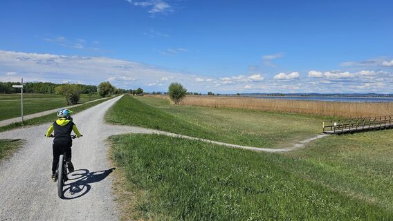
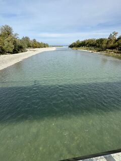
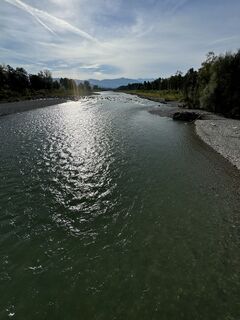
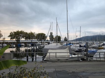
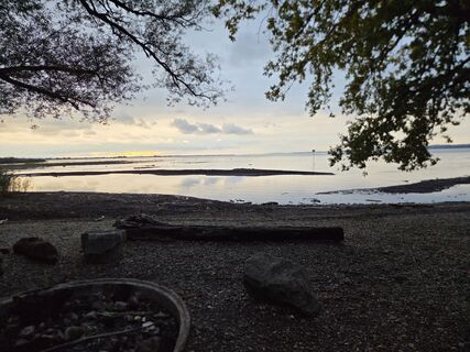
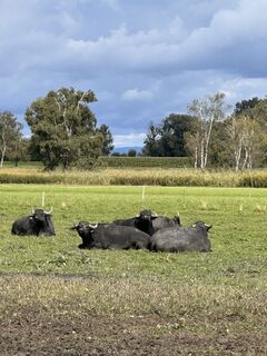
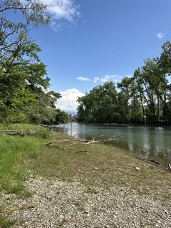
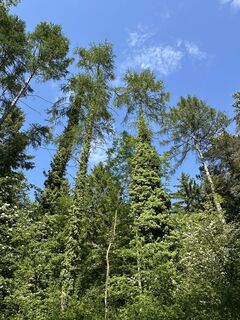
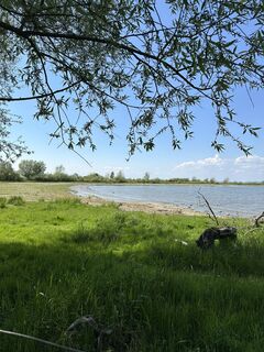
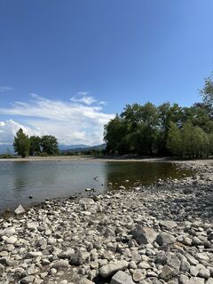
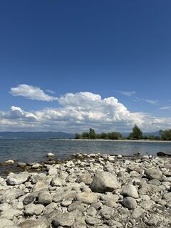
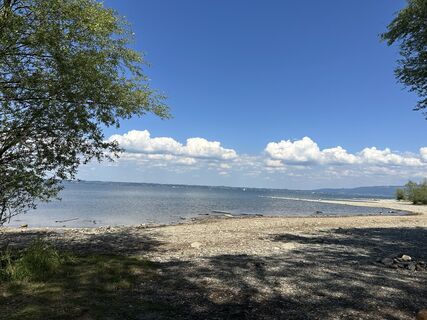
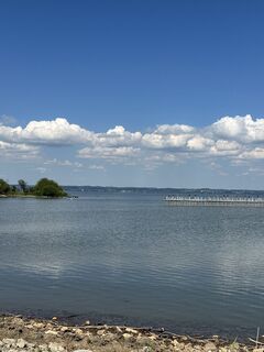
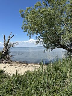
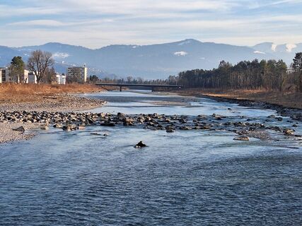
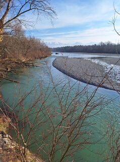
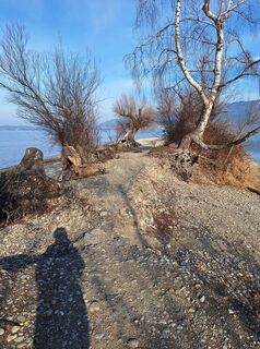
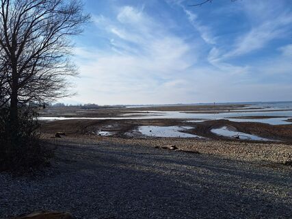
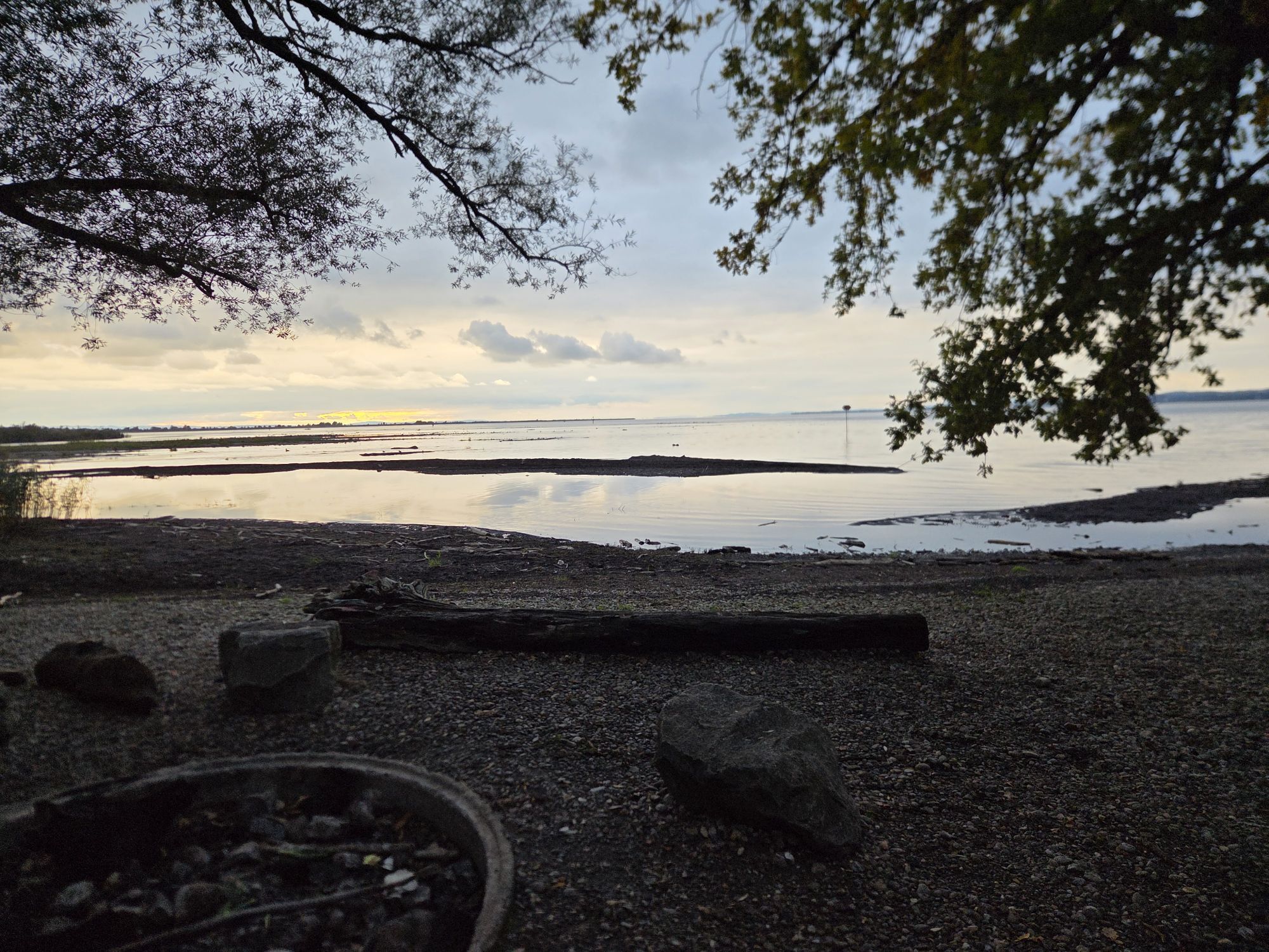
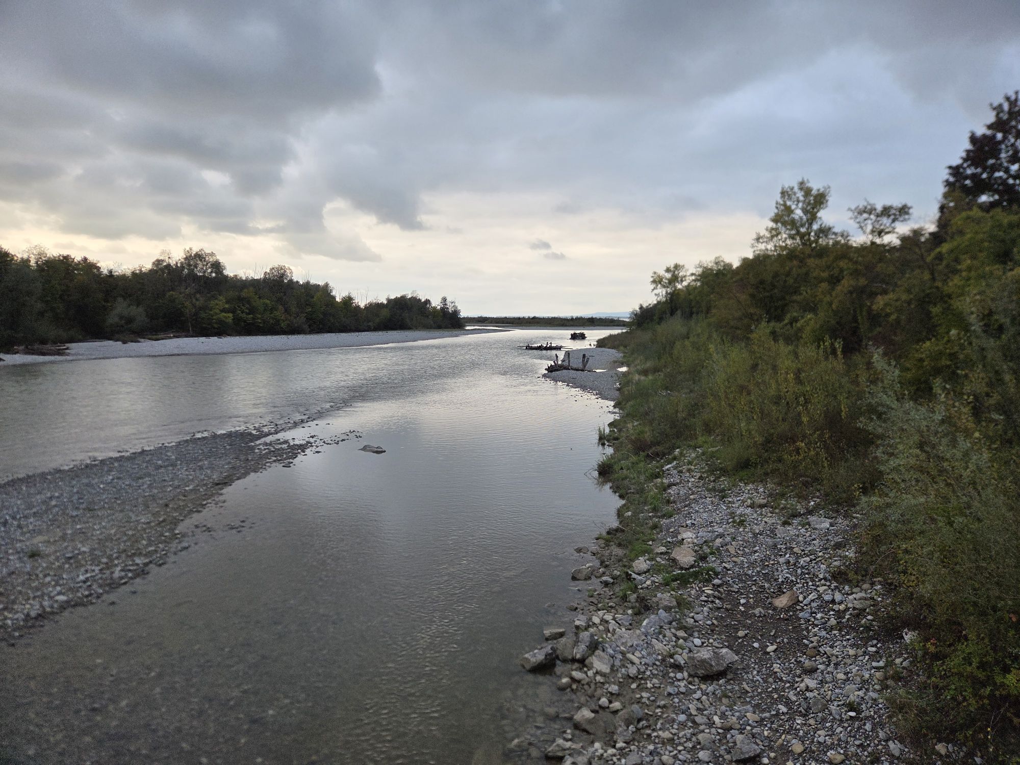
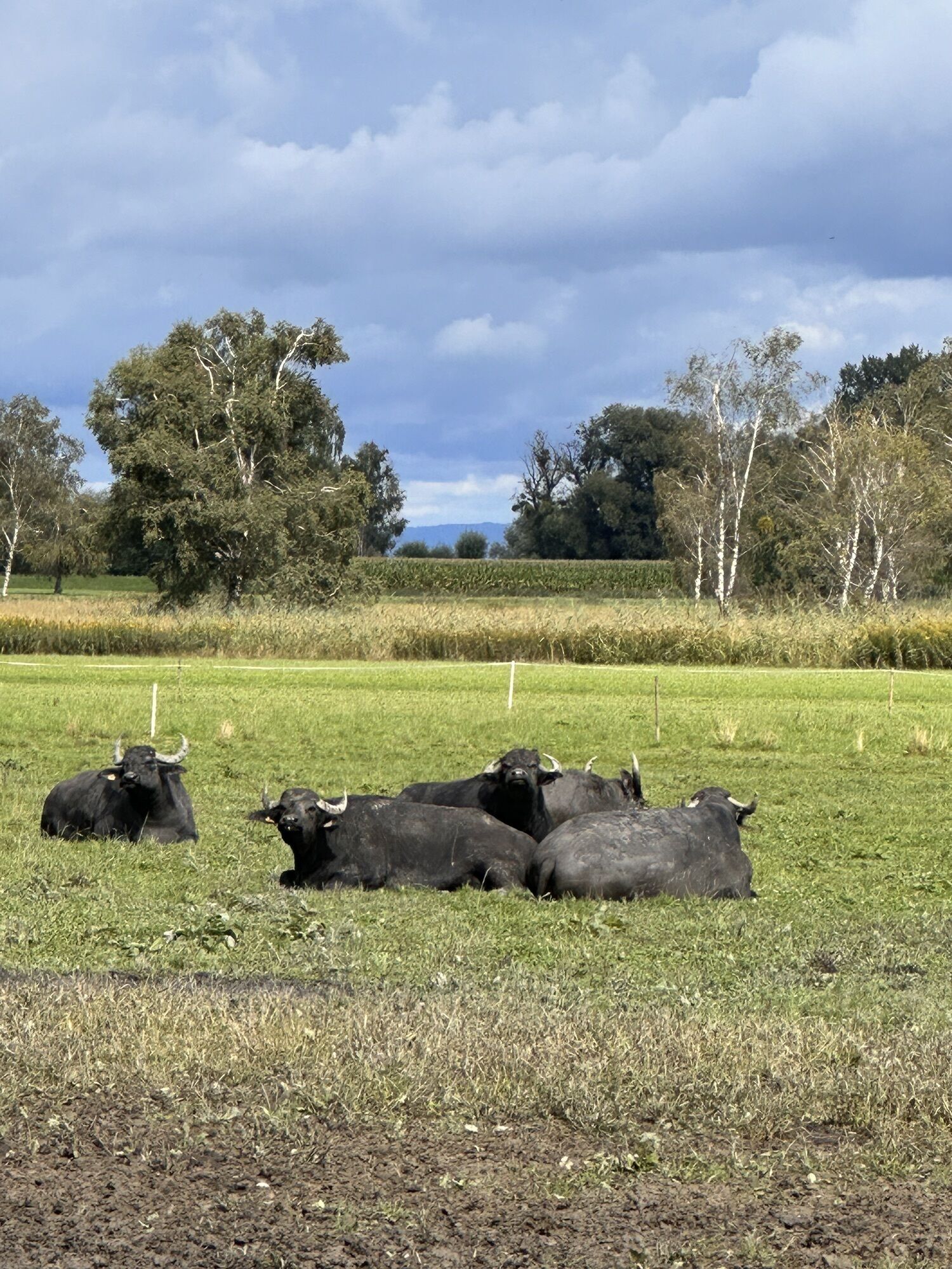
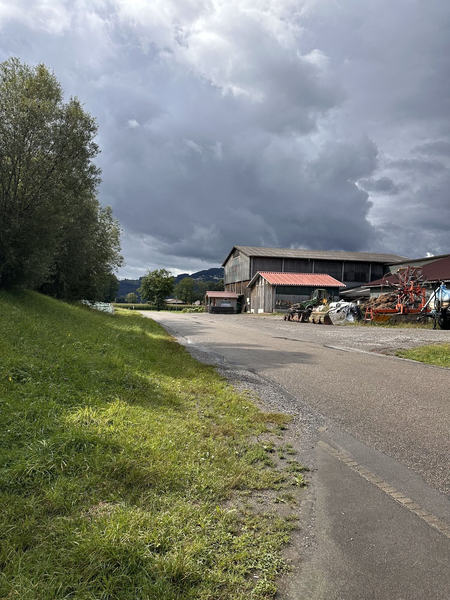
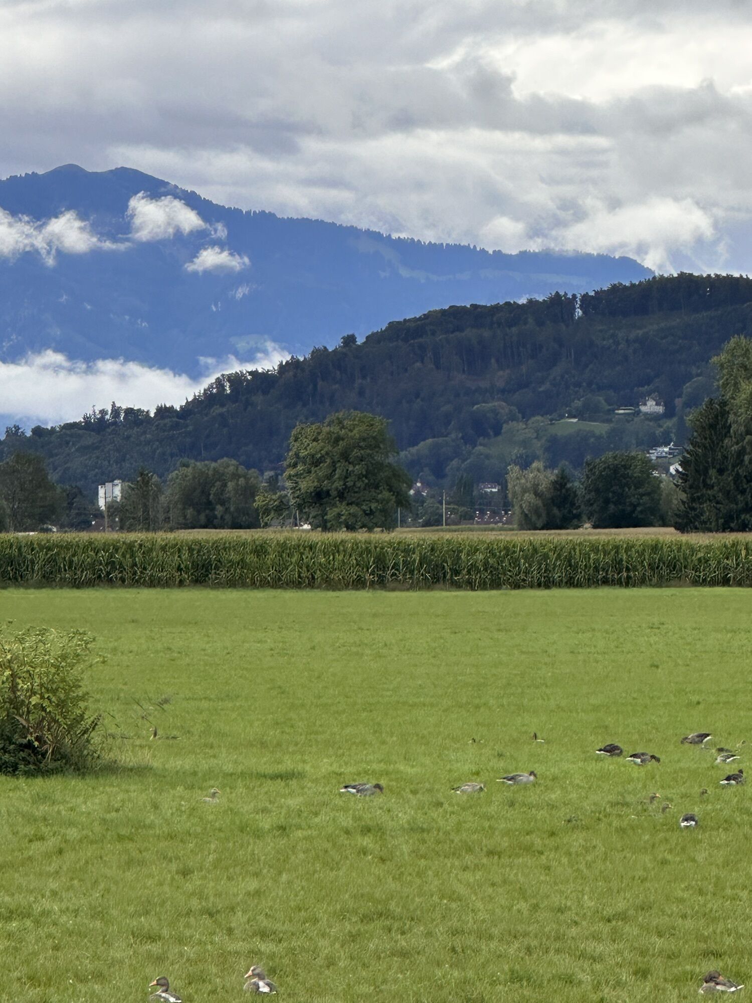
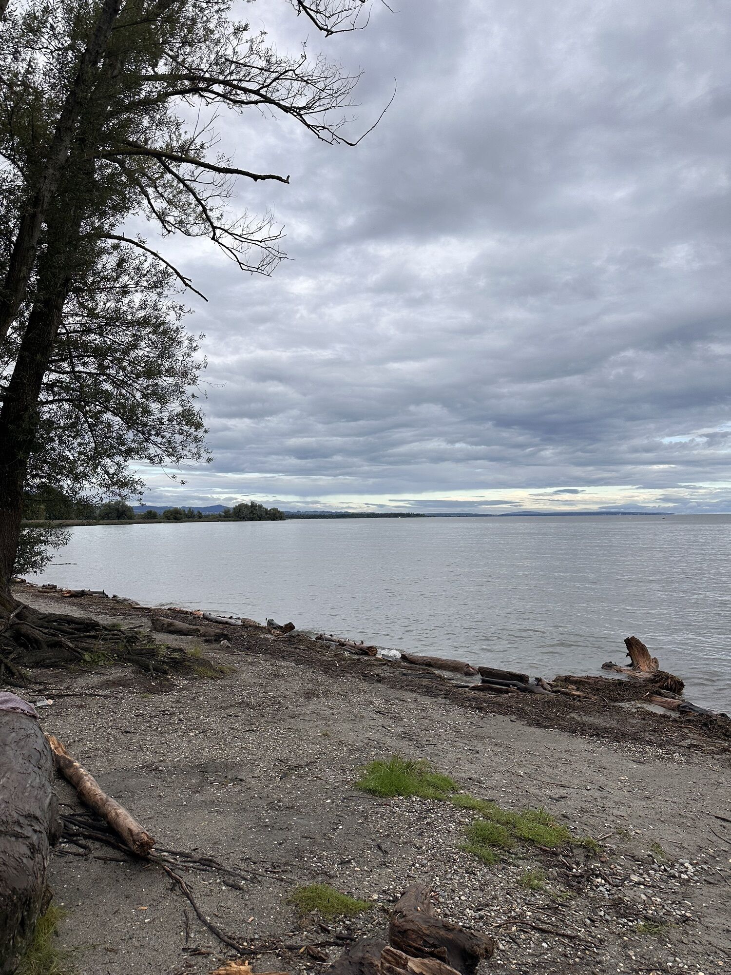
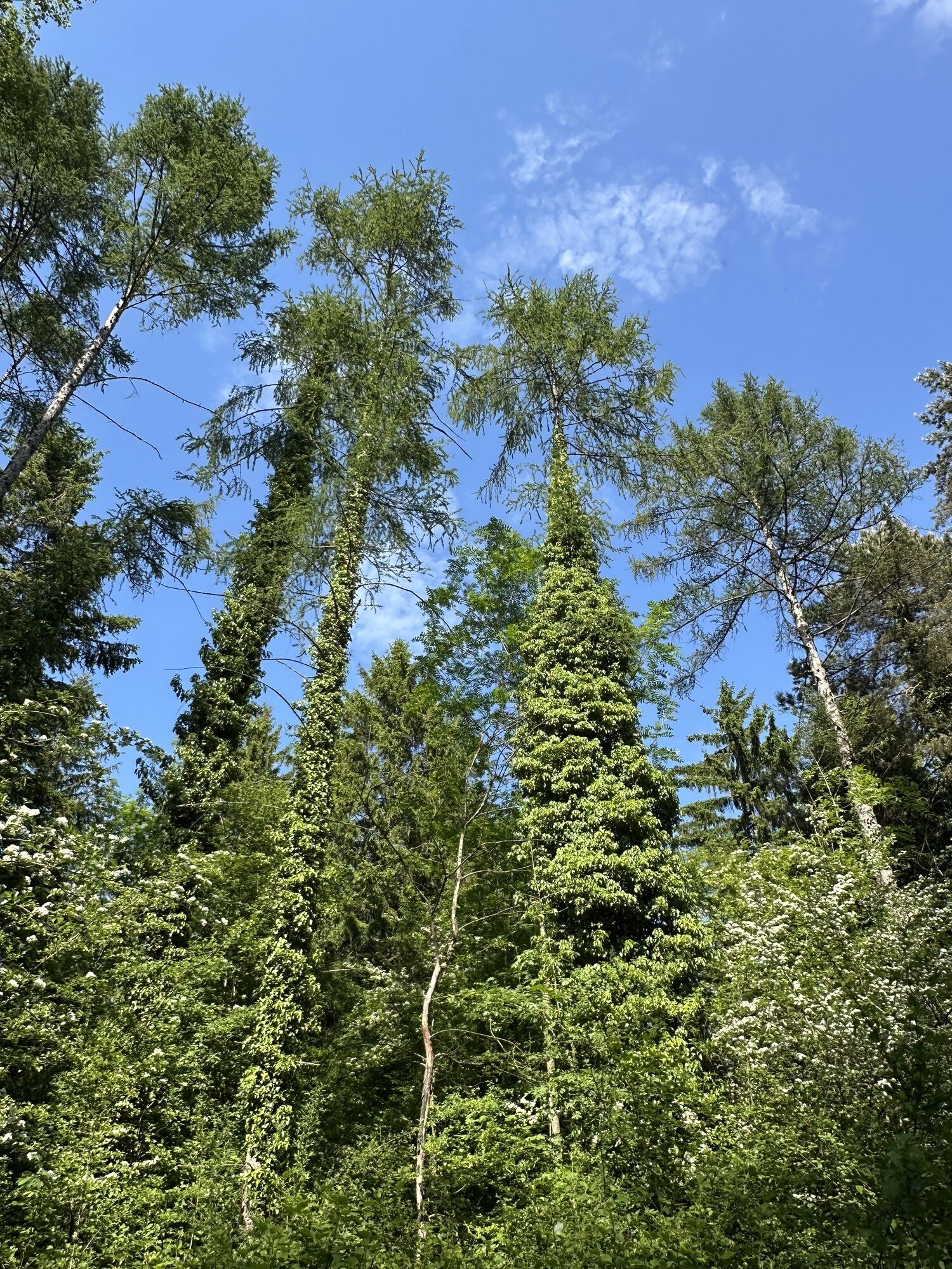
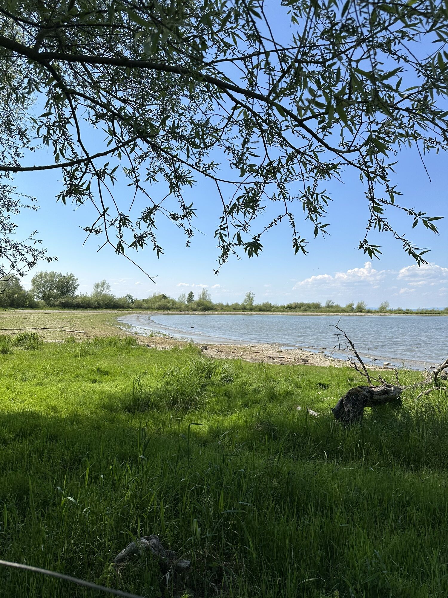
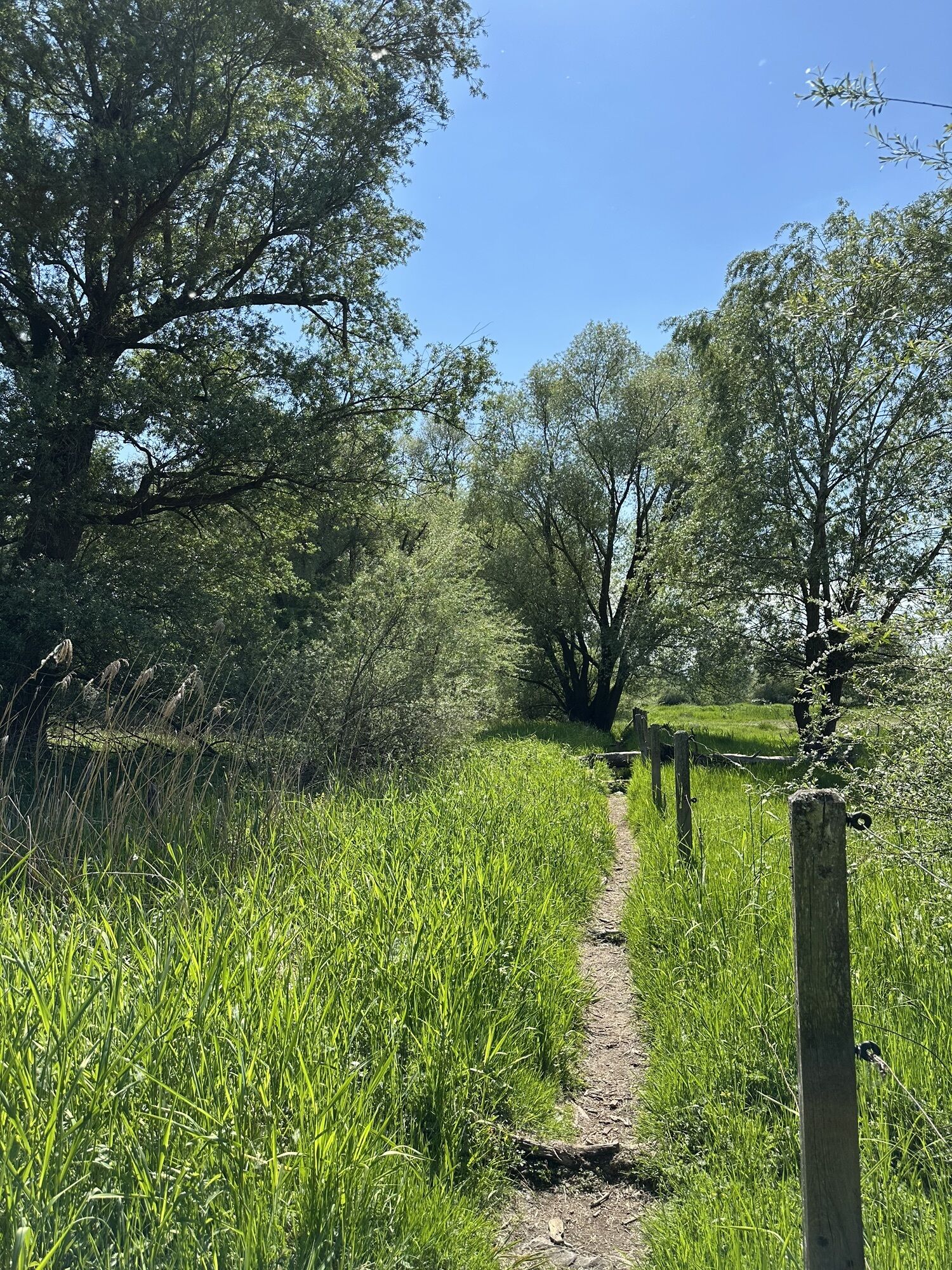
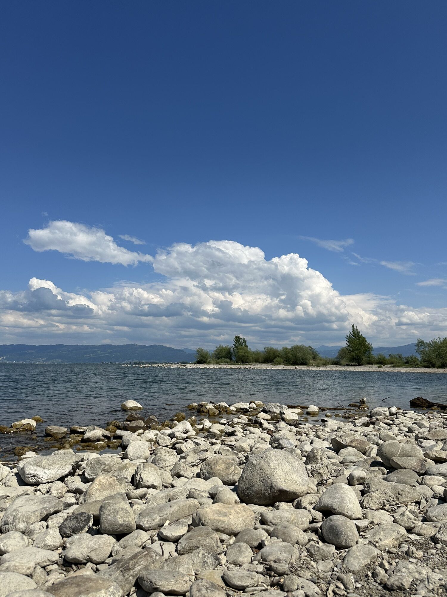
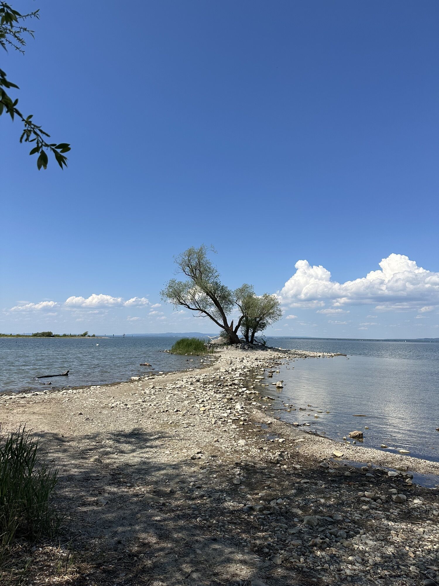
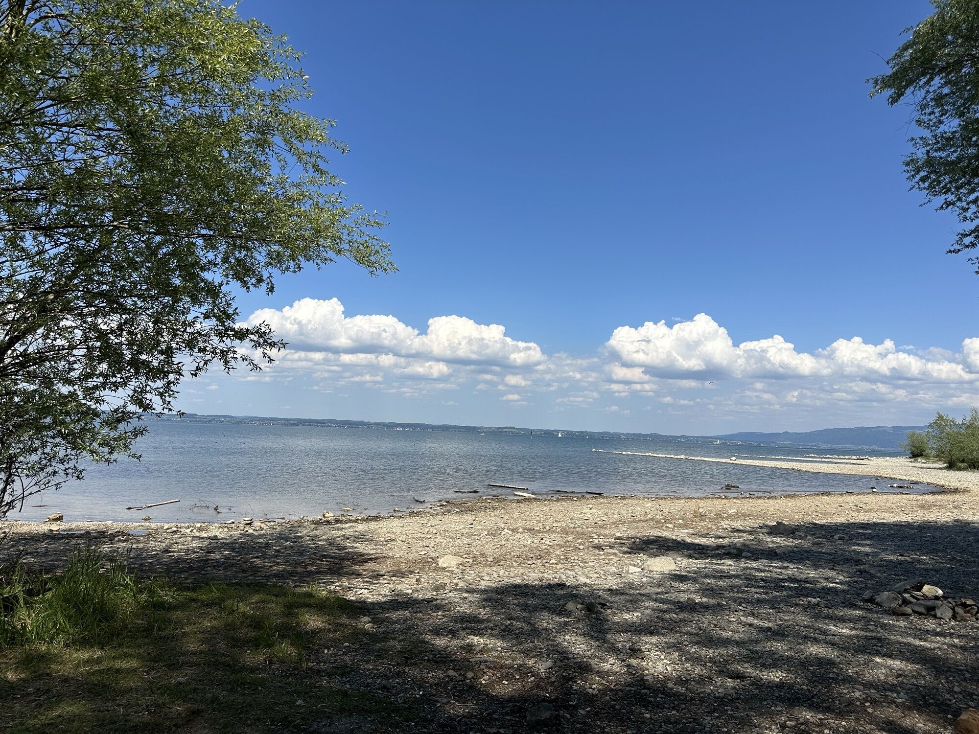
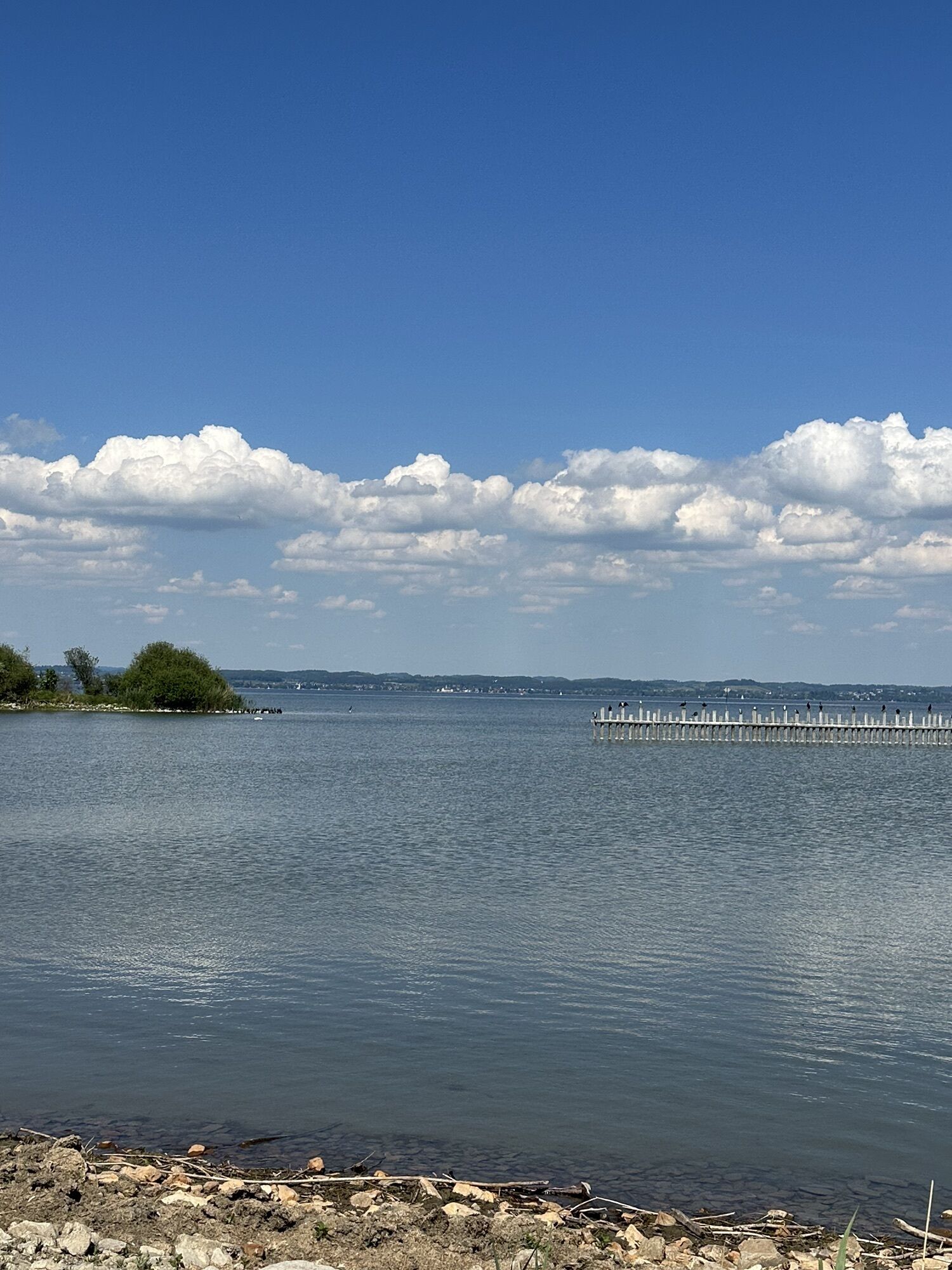
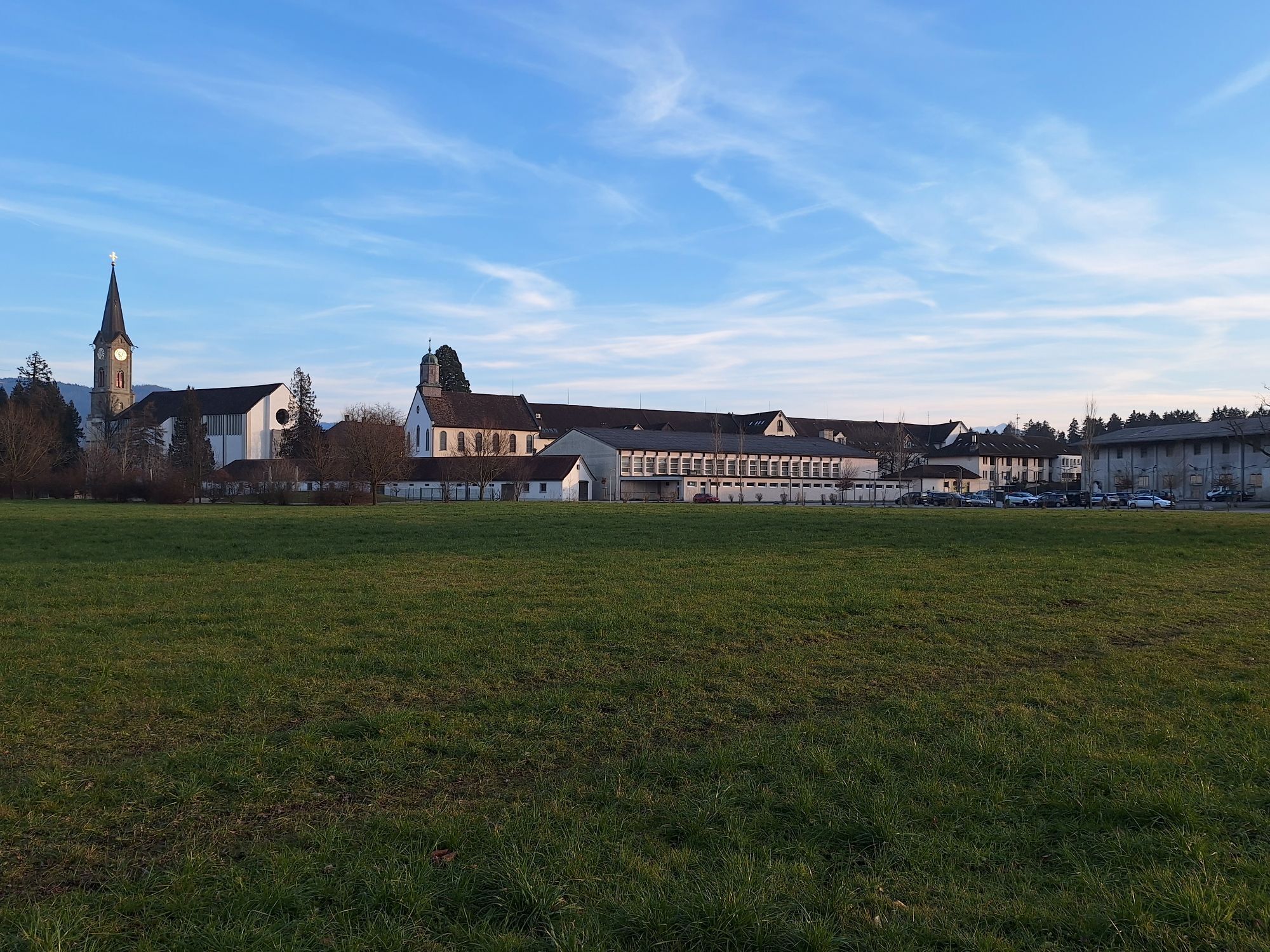
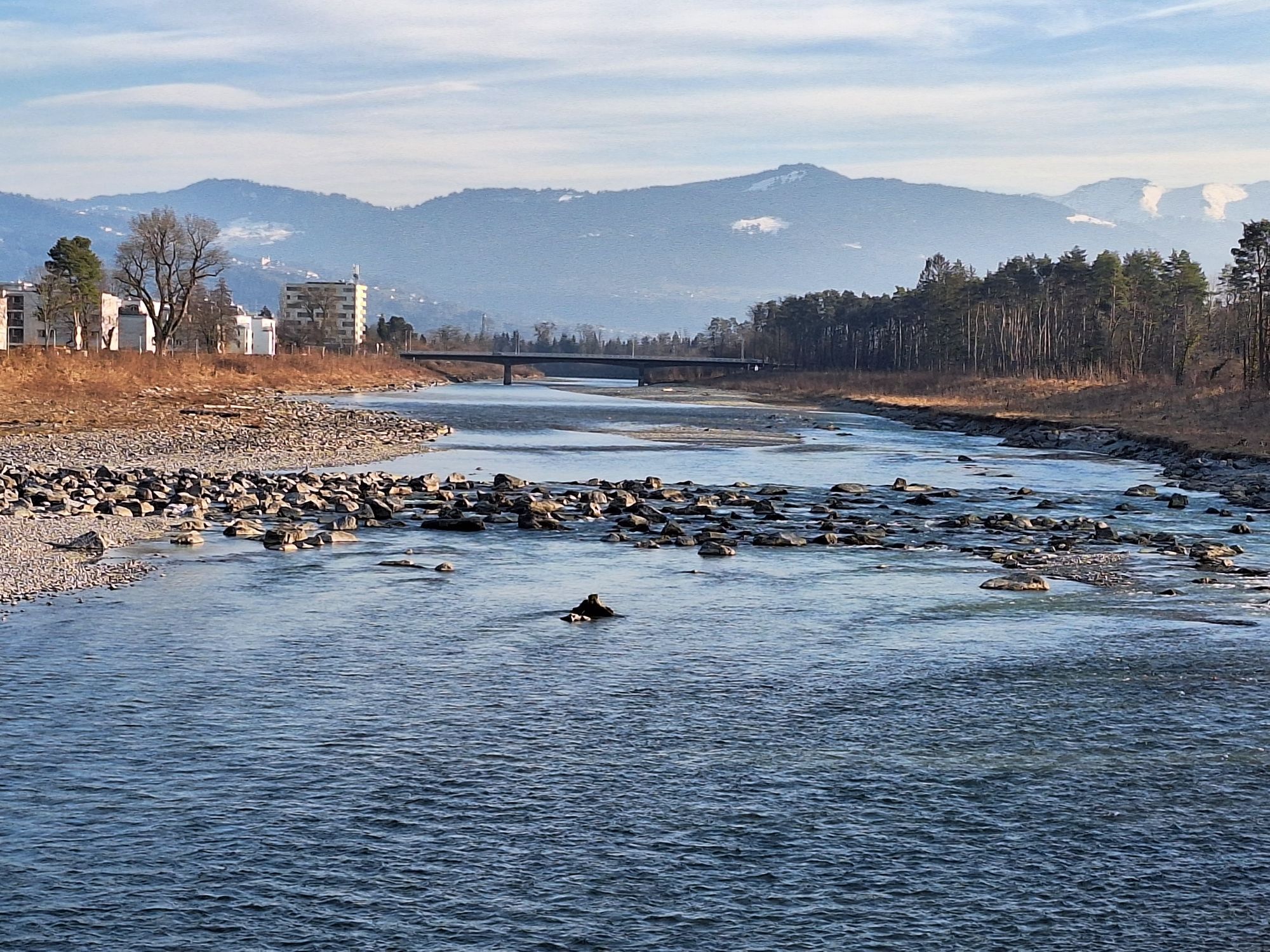
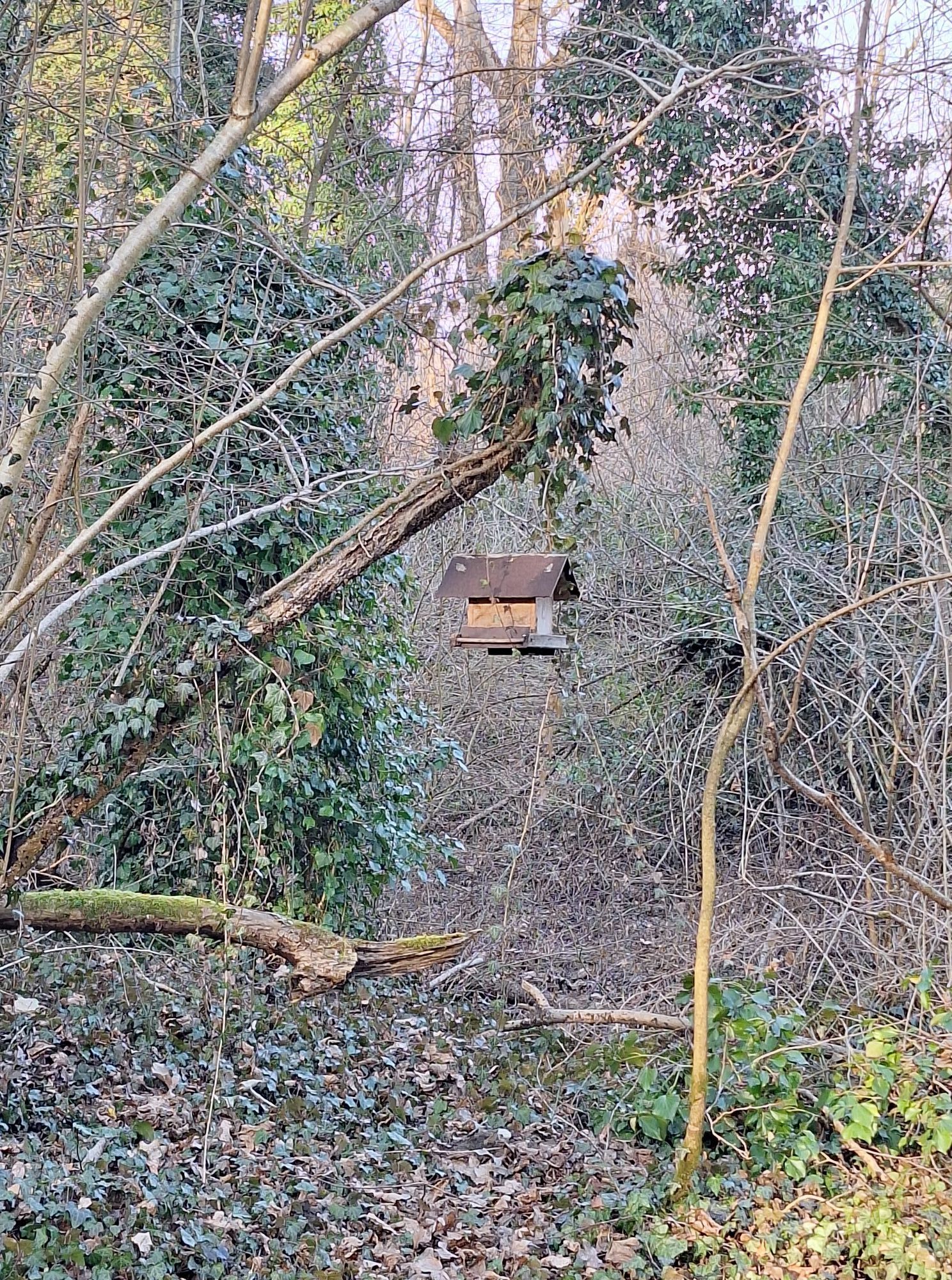
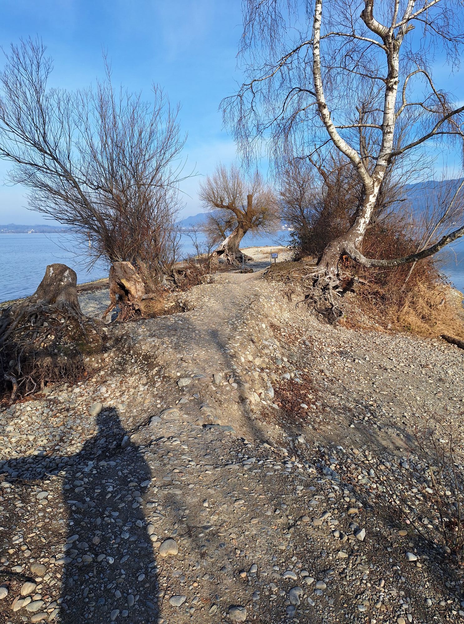
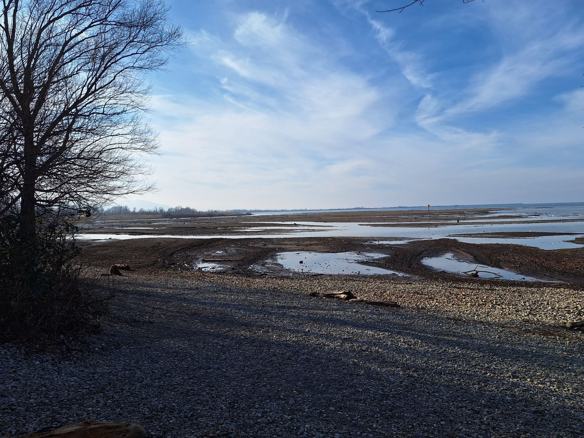
Photos from our users
-
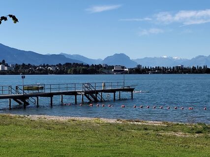
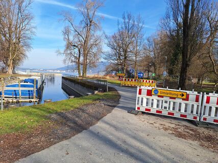
 © Uschi BereuterCreated on 31.08.2025
 -
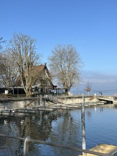
 © Ch TCreated on 21.04.2025
 -

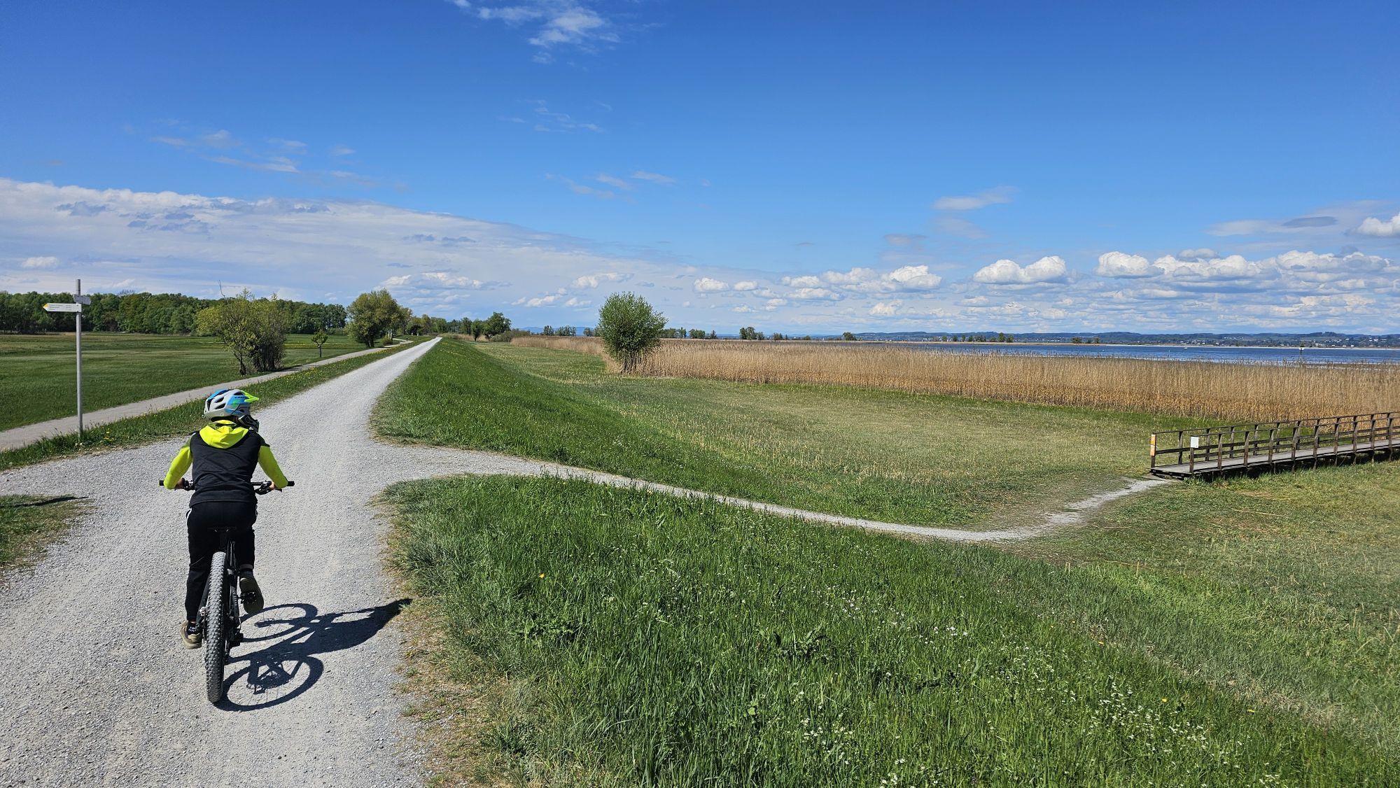
 © H ElsnerCreated on 22.09.2024
 -
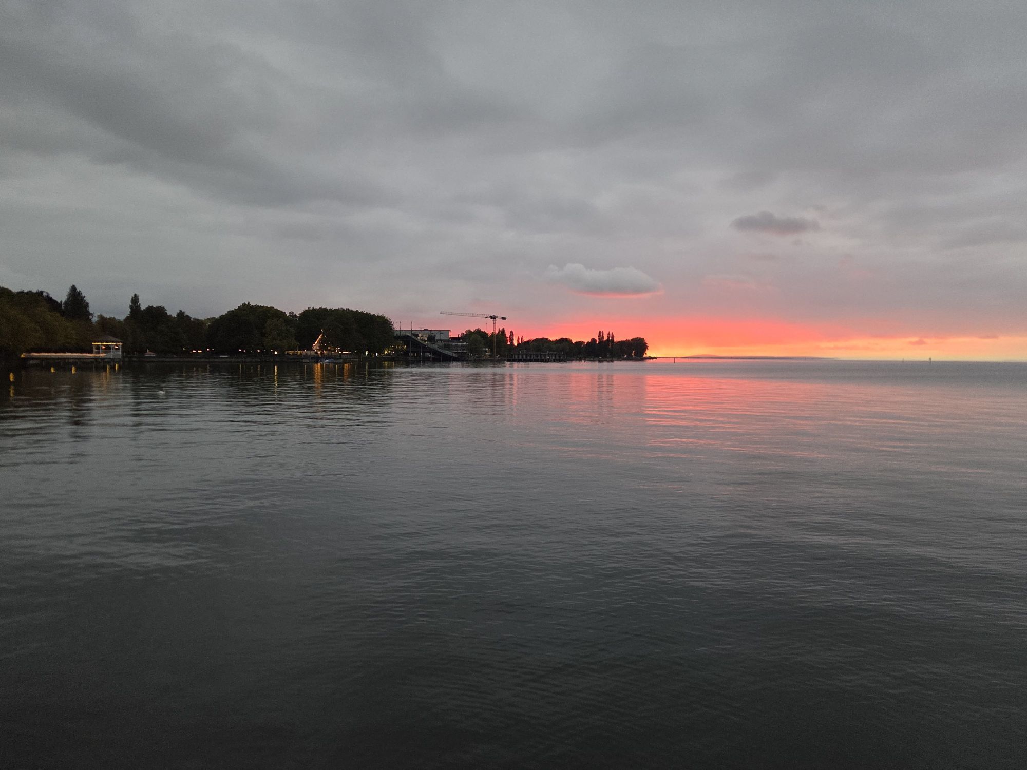
 © H ElsnerCreated on 22.09.2024
 -
 © H ElsnerCreated on 22.09.2024
 -
 © Blacktixo7Created on 27.09.2025
 -
 © Blacktixo7Created on 27.09.2025
 -
 © Blacktixo7Created on 27.09.2025
 -
 © Blacktixo7Created on 27.09.2025
 -
 © Cyrill BischofCreated on 30.08.2025
 -
 © Cyrill BischofCreated on 30.08.2025
 -
 © Cyrill BischofCreated on 30.08.2025
 -
 © Cyrill BischofCreated on 30.08.2025
 -
 © Cyrill BischofCreated on 30.08.2025
 -
 © Cyrill BischofCreated on 12.05.2025
 -
 © Cyrill BischofCreated on 12.05.2025
 -
 © Cyrill BischofCreated on 12.05.2025
 -
 © Cyrill BischofCreated on 12.05.2025
 -
 © Cyrill BischofCreated on 12.05.2025
 -
 © Cyrill BischofCreated on 12.05.2025
 -
 © Cyrill BischofCreated on 12.05.2025
 -
 © Cyrill BischofCreated on 12.05.2025
 -
 © Cyrill BischofCreated on 12.05.2025
 -
 © Cyrill BischofCreated on 12.05.2025
 -
 © Josef ÖsterleCreated on 07.02.2025
 -
 © Josef ÖsterleCreated on 07.02.2025
 -
 © Josef ÖsterleCreated on 07.02.2025
 -
 © Josef ÖsterleCreated on 07.02.2025
 -
 © Josef ÖsterleCreated on 07.02.2025
 -
 © Josef ÖsterleCreated on 07.02.2025
 -
 © Josef ÖsterleCreated on 07.02.2025
 -
 © Cyrill BischofCreated on 03.02.2025


Route
Magdalena Kapelle
(399 m)
Place of worship
2.2 km
Bregenz
(427 m)
City
3.3 km
St. Sebastian
(398 m)
Place of worship
11.5 km
Rheinspitz
(396 m)
Corridor/terrain
25.8 km
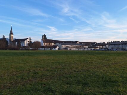
Kloster St. Othmar
(398 m)
Place of worship
30.8 km
St. Othmar
(399 m)
Place of worship
30.9 km
Magdalena Kapelle
(399 m)
Place of worship
52.3 km
Route
Lochau-Hörbranz - St. Sebastian - Kloster St. Othmar - St. Othmar
medium
Mountainbike
54.63
km
Lochau-Hörbranz
(399 m)
Railway station
0.0 km
Lochau
(420 m)
Village
0.6 km
Klausmühle
(407 m)
Settlement
2.2 km
Magdalena Kapelle
(399 m)
Place of worship
2.2 km
Tannenbach
(401 m)
Settlement
2.4 km
Bregenz
(427 m)
City
3.3 km
Bregenz
(398 m)
Railway station
3.8 km
Hard
(398 m)
Village
10.8 km
St. Sebastian
(398 m)
Place of worship
11.5 km
Fußach
(398 m)
Village
14.7 km
Seerestaurant Salzmann
(399 m)
Restaurant
19.2 km
Glashaus
(398 m)
Restaurant
19.6 km
Rheinholz Gärtle
(397 m)
Restaurant
25.5 km
Rheinspitz
(396 m)
Corridor/terrain
25.8 km
Steakhaus Patagonia
(399 m)
Restaurant
28.5 km
Yachtklub Wetterwinkel
(398 m)
Restaurant
28.7 km
Rheineck
(400 m)
Village
29.6 km
Kloster St. Othmar
(398 m)
Place of worship
30.8 km
St. Othmar
(399 m)
Place of worship
30.9 km
Gaißau
(399 m)
Village
30.9 km
Seerestaurant Salzmann
(399 m)
Restaurant
36.6 km
Fußach
(398 m)
Village
40.2 km
Hard
(398 m)
Village
44.2 km
Bregenz
(398 m)
Railway station
50.7 km
Bregenz
(427 m)
City
51.3 km
Tannenbach
(401 m)
Settlement
52.1 km
Klausmühle
(407 m)
Settlement
52.2 km
Magdalena Kapelle
(399 m)
Place of worship
52.3 km
Lochau
(420 m)
Village
54.0 km
Lochau-Hörbranz
(399 m)
Railway station
54.6 km
No reviews yet
Popular tours in the neighbourhood
-
4.7
Hochälpele 1464m, Bödele
lightHiking 9.87 km -
4.4
Bregenz, Austria - Pfänder
lightHiking 8.57 km -
4.2
Vom Karren zum Staufen über Wurzelweg Dornbirn, Österreich
mediumHiking 8.02 km -
4.2
Sonntagsrunde
mediumHiking 7 km -
3.7
Auf den Karren
lightHiking 12.2 km -
3.4
Schwarzenberg| Bödele - Hochalpl
lightHiking 10.2 km -
5.0
Große Schlossbergrunde Hohenems, Vorarlberg
mediumHiking 7.18 km -
5.0
Karrenbahn (Talstation) - Karren - Schluchtsee - Rappenloch (Klamm)
mediumHiking 8.03 km -
5.0
Staufenrunde, Dornbirn
mediumHiking 7.29 km -
4.4
Zur Ruine Alt Ems - Serpentinenweg auf den Schlossberg
Hiking 5.60 km
Hiking & Tracking

Over 550.000 tour suggestions, detailed maps and an intuitive route planner make the app a must-have for all nature enthusiasts.

Don't miss out on offers and inspiration for your next holiday
Subscribe to the newsletter
Error
An error has occurred. Please try again.
Thank you for your registration
Your e-mail address has been added to the mailing list.
Tours throughout Europe
Austria
Switzerland
Germany
Italy
Slovenia
France
Netherlands
Belgium
Poland
Liechtenstein
Czechia
Slovakia
Spain
Croatia
Bosnia and Herzegovina
Luxembourg
Andorra
Portugal
Iceland
United Kingdom
Ireland
Greece
Albania
North Macedonia
Malta
Norway
Montenegro
Moldova
Kosovo
Hungary
San Marino
Romania
Estonia
Latvia
Belarus
Cyprus
Lithuania
Serbia
Bulgaria
Monaco
Denmark
Sweden
Finland