
Peter Mathis
Tour data
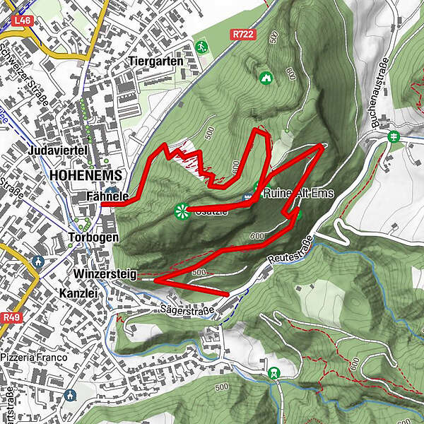
5.6km
435
- 664m
399hm
02:00h
- Rating
-
- Starting point
-
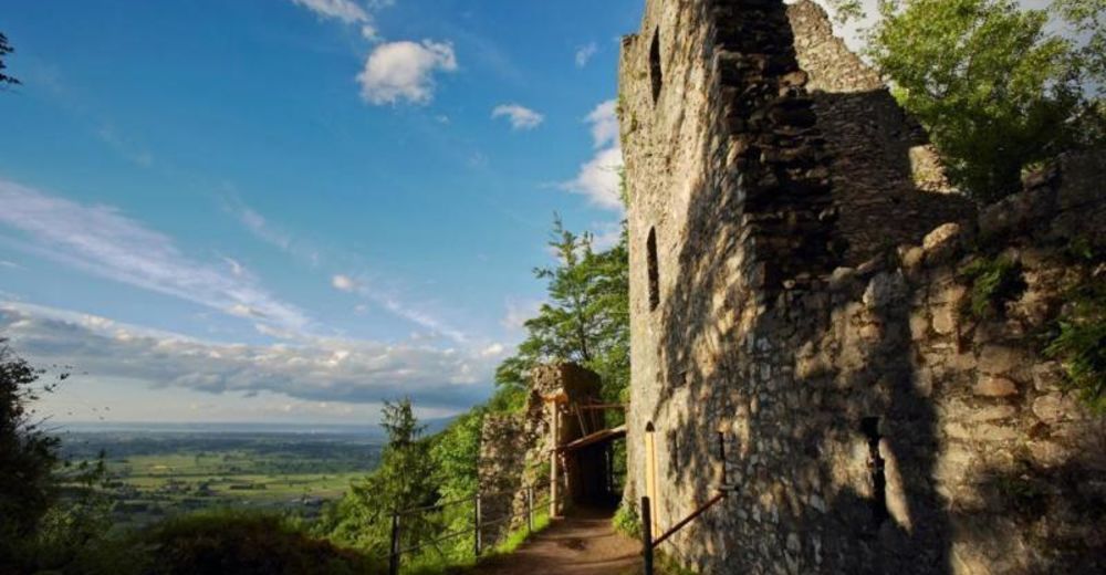
Hohenems, Pfarrkirche St. Karl
- Route
-
JudaviertelHohenems (432 m)JudagassTorbogenPlatzbruckKirchenfeld0.0 kmFähnele0.0 kmSt. Karl Borromäus0.0 kmUnters Gsätzle0.1 kmLeuezüg0.1 kmSchlossberg0.7 kmStälli0.9 kmGsätzle1.2 kmSäge2.4 kmWinzersteig2.5 km
- Highest point
- 664 m

GPS Downloads


Trail conditions
Asphalt
Gravel
Meadow
Forest
Rock
Exposed
Other tours in the regions
-
St. Gallen - Bodensee
2067
-
St. Galler Rheintal
1334
-
Hohenems
348


