


Level of difficulty: T2


Starting from the Füssener Jöchle mountain station, continue over the Raintaler Joch and the Vilser Scharte to the Große Schlicke. A magnificent view over the Tannheimer Tal and the adjacent Allgäu rewards...
Starting from the Füssener Jöchle mountain station, continue over the Raintaler Joch and the Vilser Scharte to the Große Schlicke. A magnificent view over the Tannheimer Tal and the adjacent Allgäu rewards the efforts of the ascent.

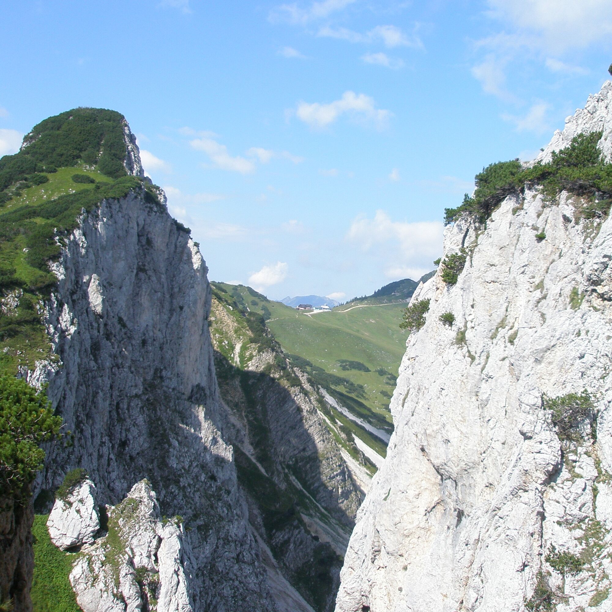
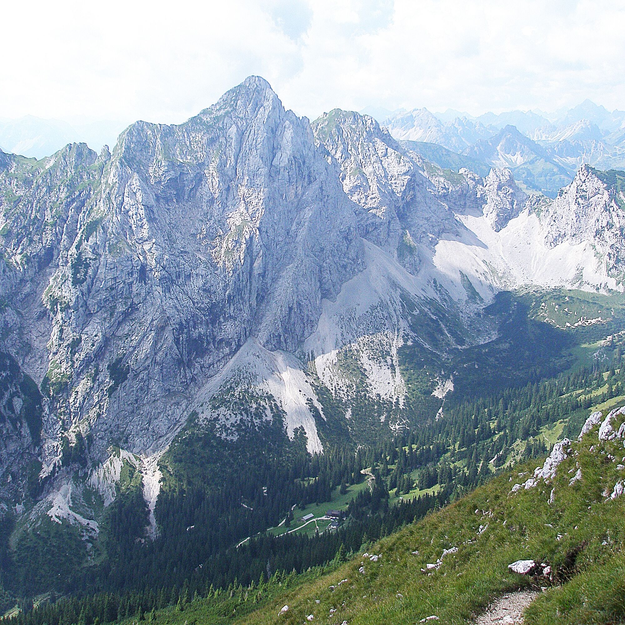
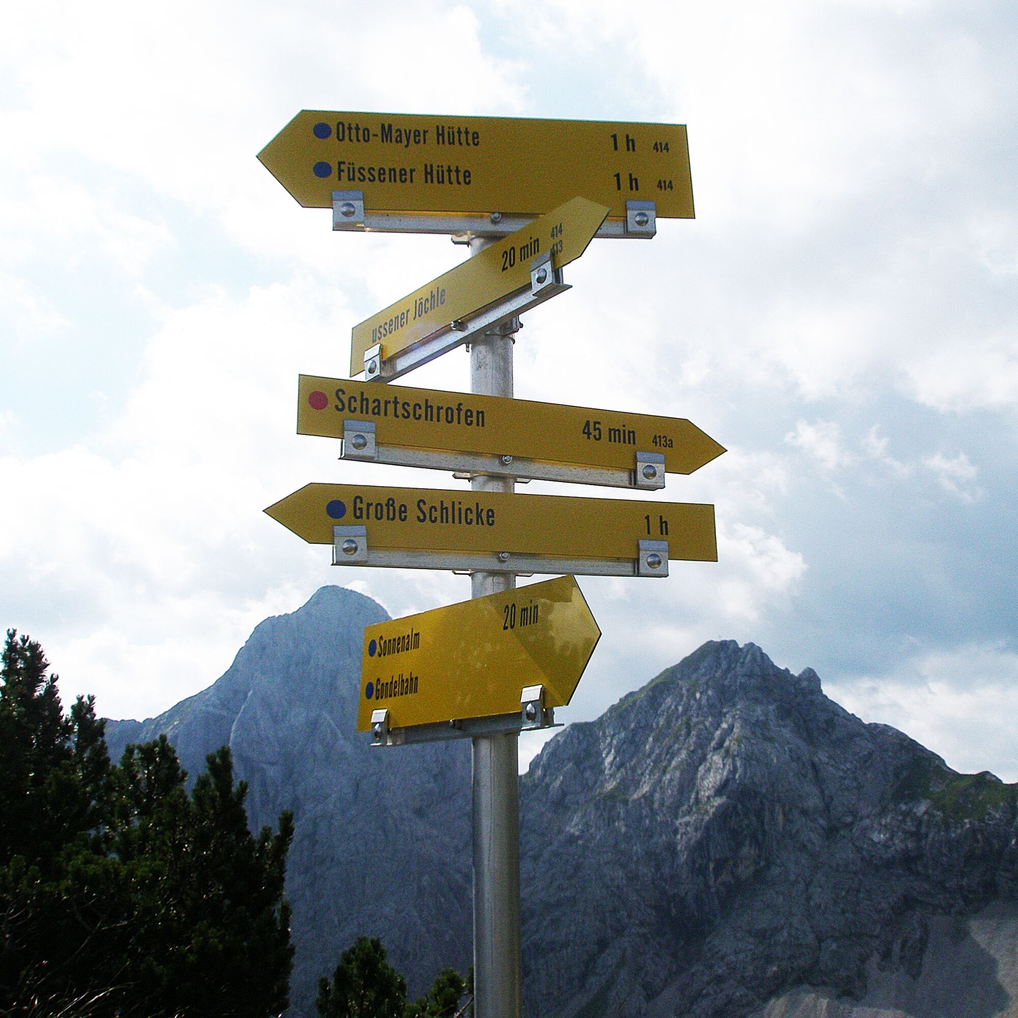
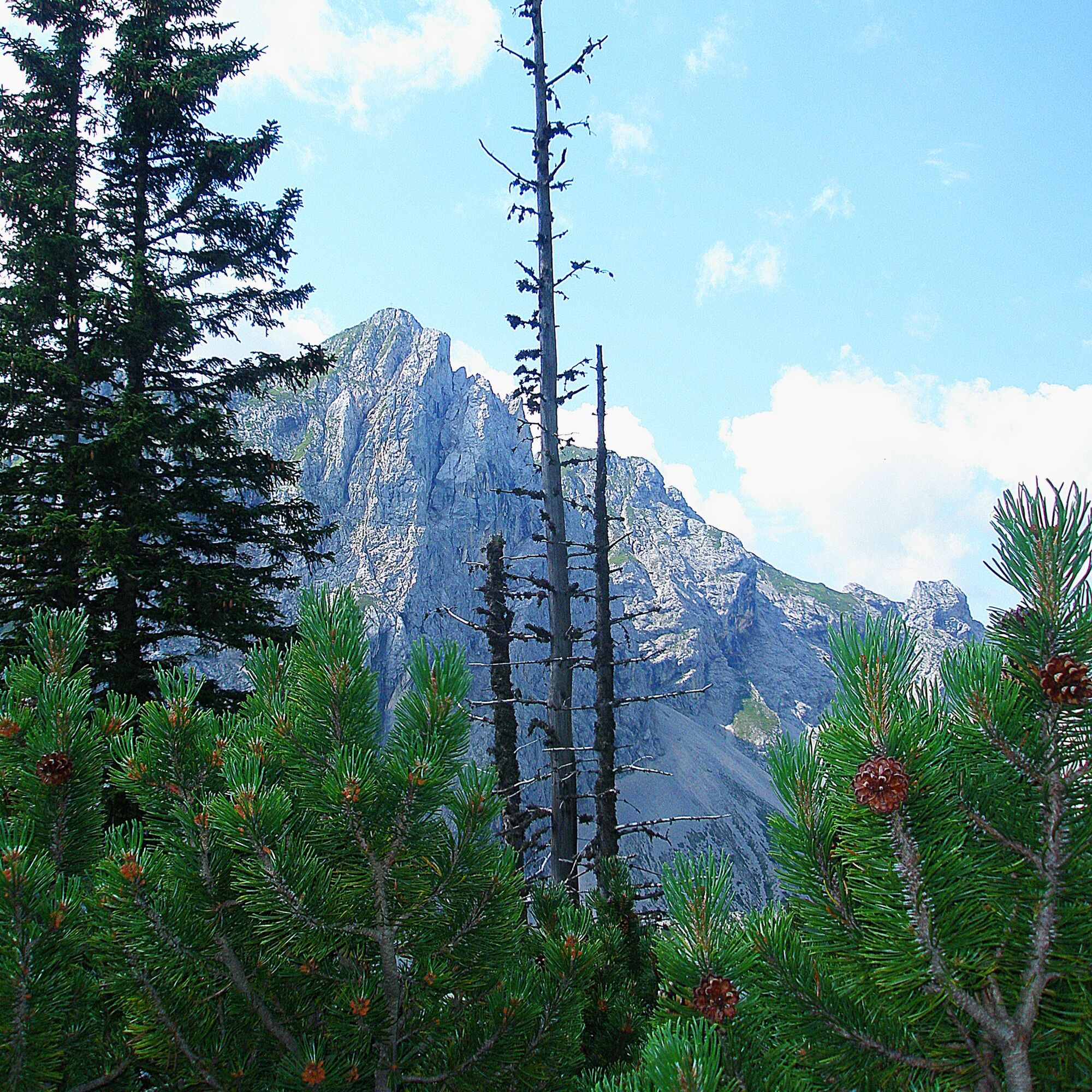
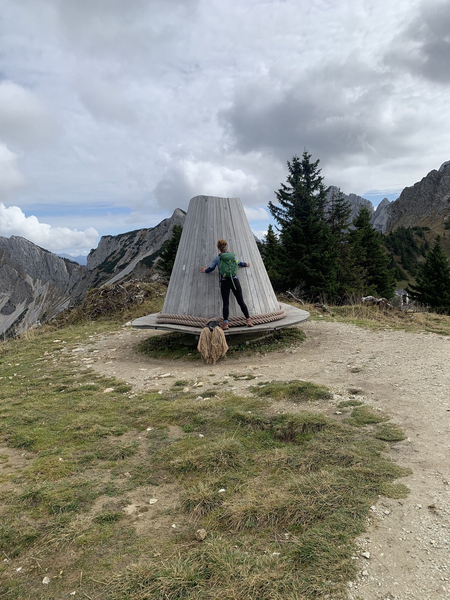
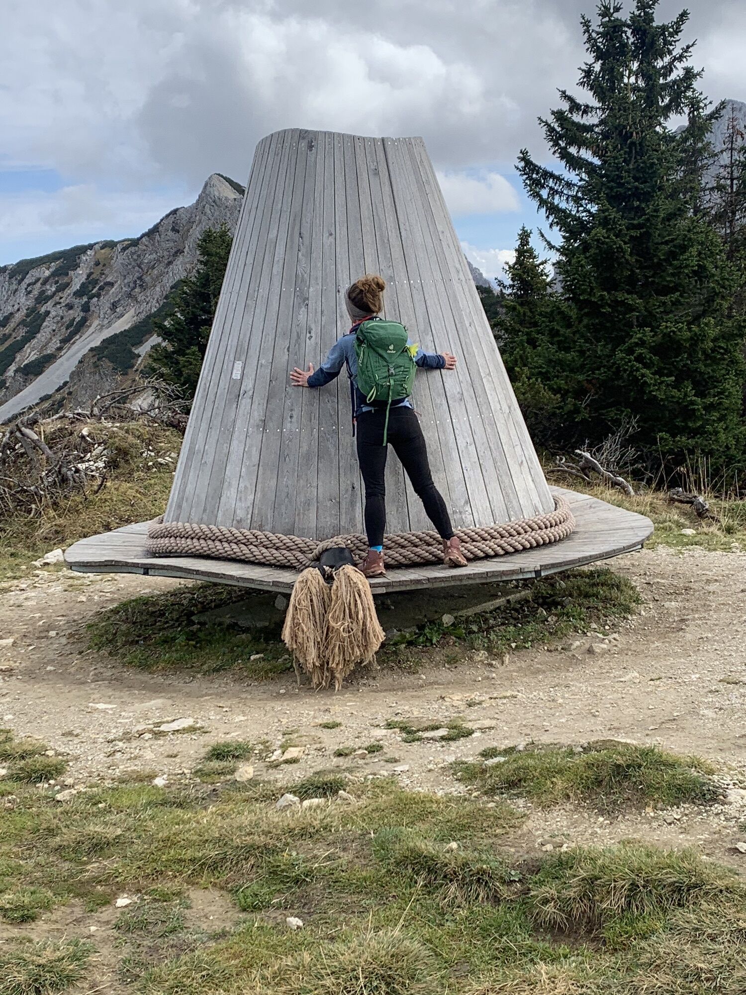
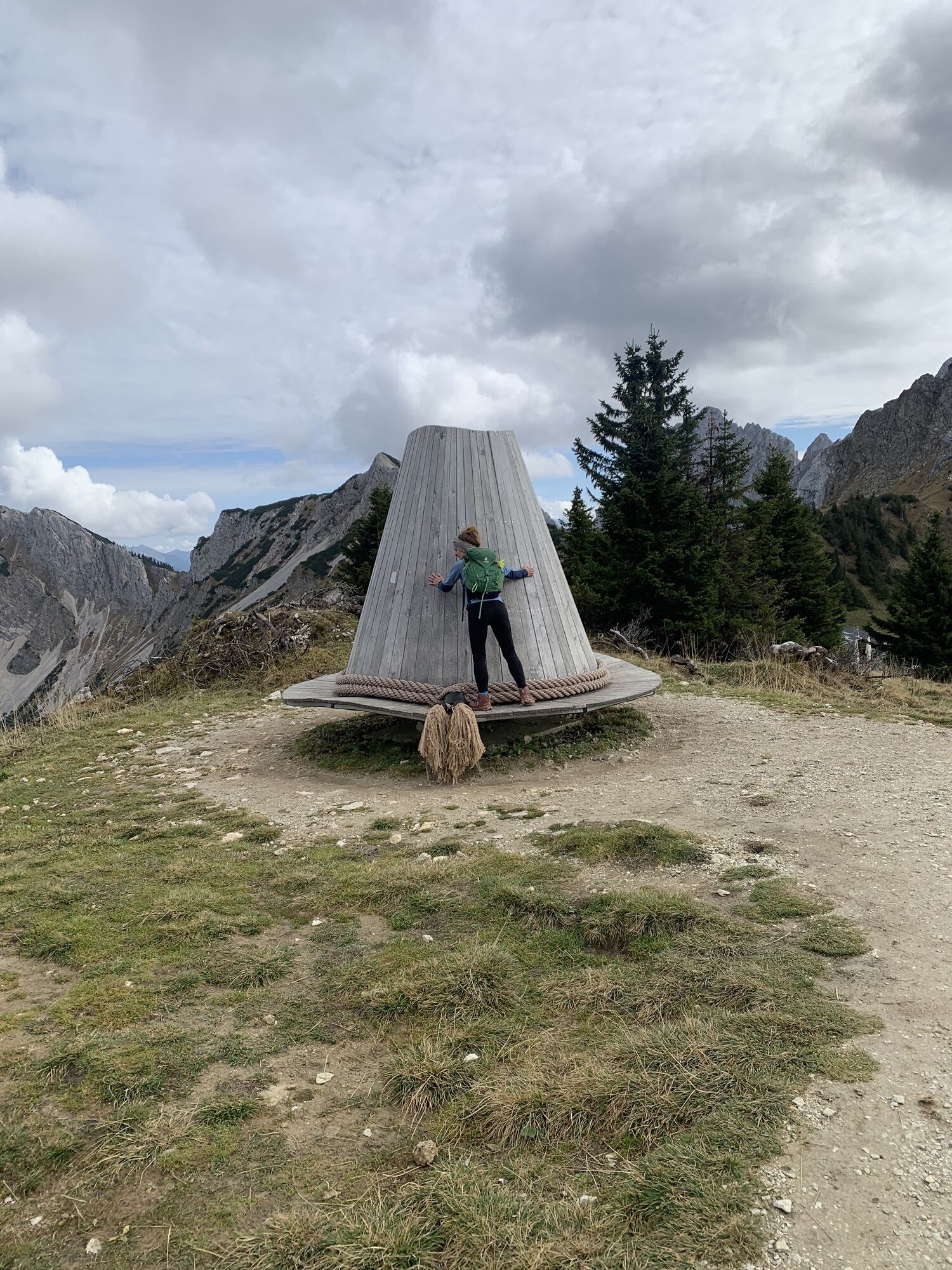
To the right beside the valley station of the cable car in Grän goes the footpath to the Füssener Jöchle. Initially moderate, later somewhat steeper, the path winds its way up. Once at the top, we first enjoy the magnificent view. Our gaze stretches far and wide over the Tannheimer Tal on one side or to the Allgäu on the other. Towards the east, passing below the Läuferspitze on the left, we continue to the Raintaler Joch. There we follow the signpost to the left. Initially gently downhill, past the Hahnenkopf and on to the Vilser Scharte. Then uphill towards Kleine Schlicke and over the grassy mountain slope up to the Große Schlicke.
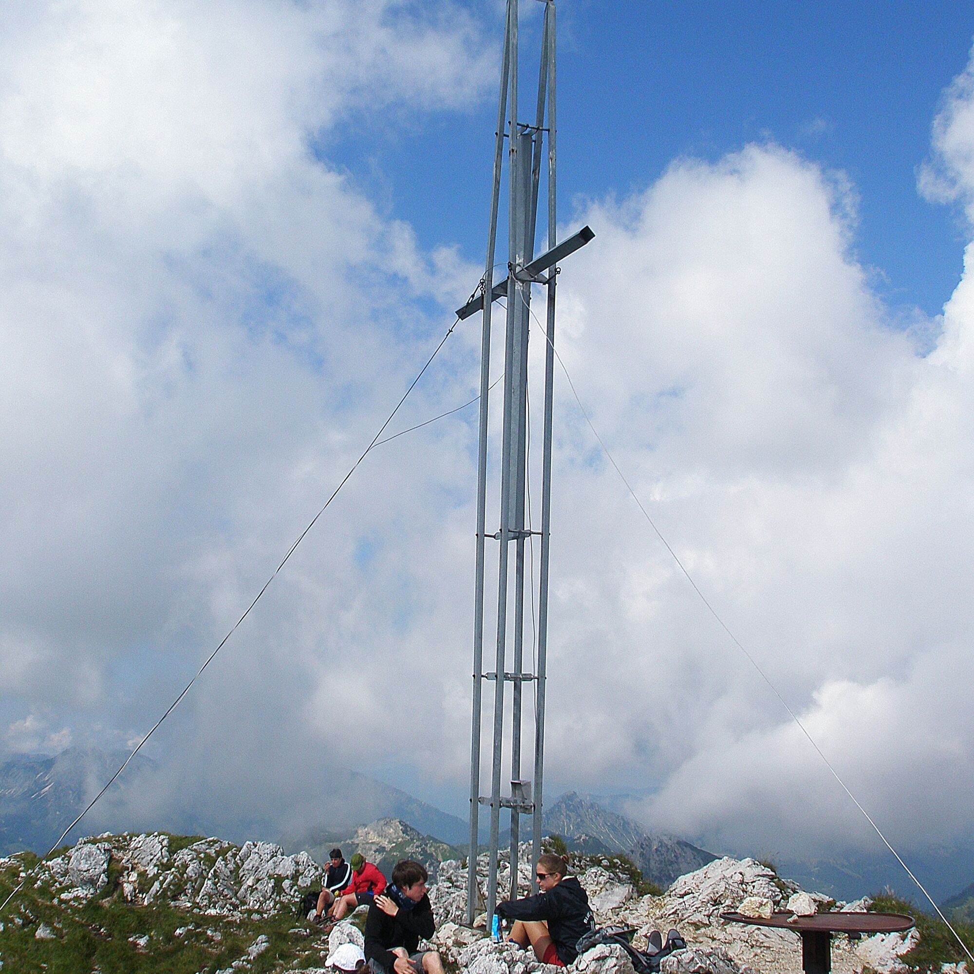
At the summit, our view roams around. The view in all directions is truly impressive. The somewhat modern steel summit cross is also not necessarily expected here at the top.
Then we head back the same way to the Füssener Jöchle and take the gondola back down into the valley. Arriving at the valley station of the Füssener Jöchle cable car, a beautiful mountain hiking day comes to an end.
Yes
Yes
Yes
Personal mountaineering equipment must be safe and functional and comply with the respective technical standards. Every hiker is advised to inform themselves about the planned routes in alpine specialist literature or on site.
General valid and usual rules of conduct.
It should be noted that there is an increased risk of accidents and injuries in mountaineering. Despite careful route planning, a basic risk always remains. Preparing for tours through endurance sports, appropriate technical training, and further education as well as personal prudence reduces the risk of accidents and dangers. But please never forget that the weather in the mountains can change very quickly. Stay on the marked hiking trails.
On the A7 motorway take the "Oy-Mittelberg" exit onto B310 towards Wertach and Oberjoch. There follow the signs for "Tannheimer Tal" B199, exit Grän, towards Füssener Jöchle cable car.
From the Tyrol side via Reutte on the B198 towards Lechtal to Weißenbach, over the Gaichtpass along the B199 to the exit Grän, towards Füssener Jöchle cable car.
By train to Sonthofen, Pfronten/Ried, or Reutte, then by bus to Grän.
At the valley station of the Füssener Jöchle gondola.
T2
Webcams of the tour
Haldensee - Neunerköpfle
Breitenberg Bergstation
Grän - Almdorf Tirol
Panoramarestaurant Hahnenkamm
Grän - Hotel Bergblick
Füssener Jöchle Bergstation
Füssener Jöchle Bergstation
Füssener Jöchle Bergstation
Füssener Jöchle Bergstation
Füssener Jöchle Bergstation
Füssener Jöchle Bergstation
Breitenbergbahn - Pfronten
Füssener Jöchle Bergstation
Füssener Jöchle Bergstation
Haller
Haller
Haller
Haller
Haller
Popular tours in the neighbourhood
- 4,2
Three-lake route (awarded the Tyrolean Hiking Trail Seal of Quality)
mediumHiking14,8 km - 4,6
3-Seen Rundtour Vilsalpsee / Schrecksee / Traualpsee
mediumHiking17,1 km - 4,9
3-Gipfel-Tour
mediumHiking11,2 km - 4,6
Mountain hike to the Aggenstein
heavyHiking15,3 km - 4,8
Around Lake Weißensee
lightHiking6,12 km - 5,0
Hiking tour to Breitenberg
heavyHiking15,6 km - 4,8
To the Bad Kissinger Hut via the Gräner Höhenweg
mediumHiking13,0 km - 3,8
From Tannheim to Sulzspitze
mediumHiking15,6 km - 4,7
Bad Hindelang, Hinterstein, Deutschland
mediumHiking14,1 km - 5,0
Gemeinde Grän, Tirol/Österreich Aggenstein Rundtour über Höhenweg
mediumHiking9,84 km
Hiking & Tracking


Don't miss out on offers and inspiration for your next holiday
Your e-mail address has been added to the mailing list.