


- Brief description
-
Fantastic summit tour to the Sulzspitze
- Difficulty
-
medium
- Rating
-
- Starting point
-
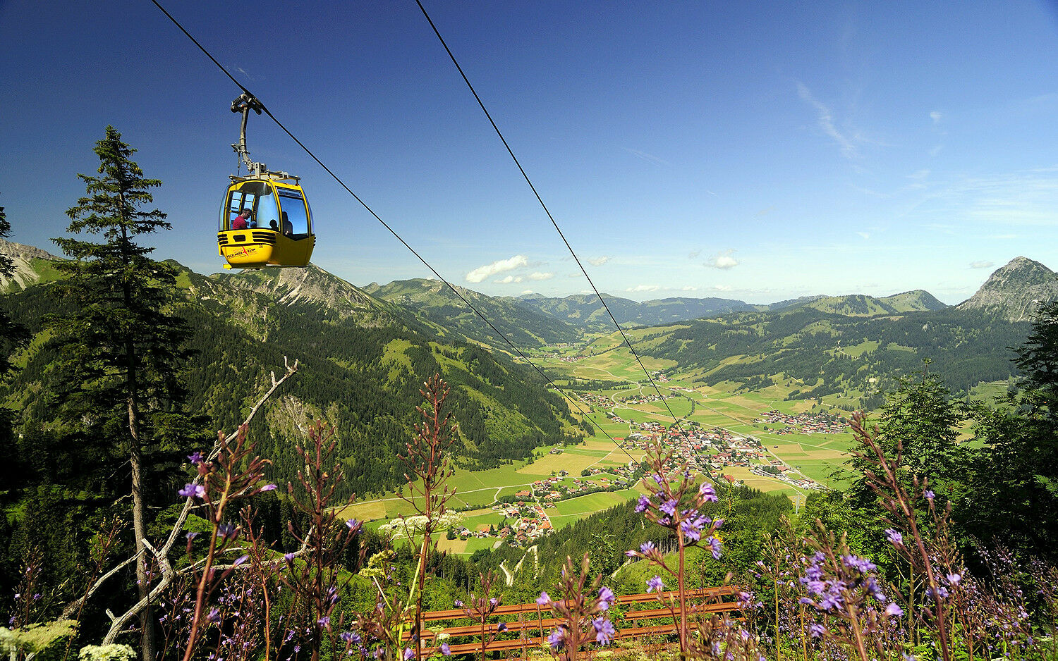
Bottom station Tannheim mountain railway
- Route
-
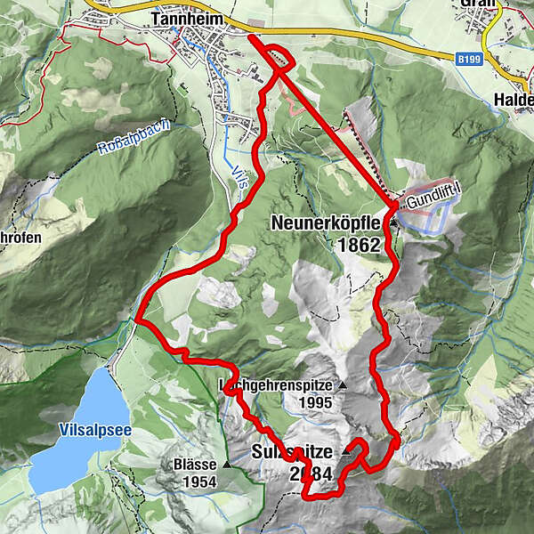
Gondelbahn Neunerköpfle2.2 kmSulzspitze (2,084 m)6.0 kmGappenfeldalpe7.5 km
- Best season
-
JanFebMarAprMayJunJulAugSepOctNovDec
- Description
-
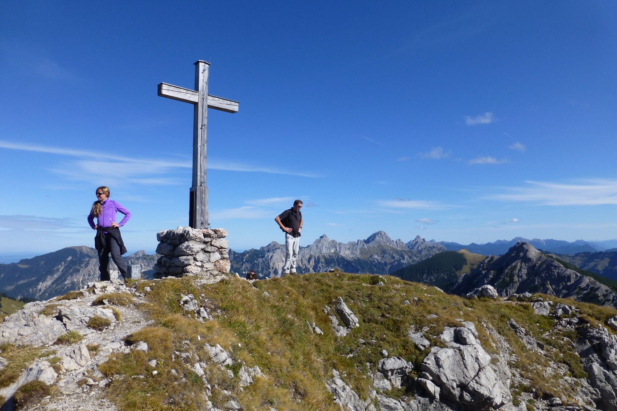
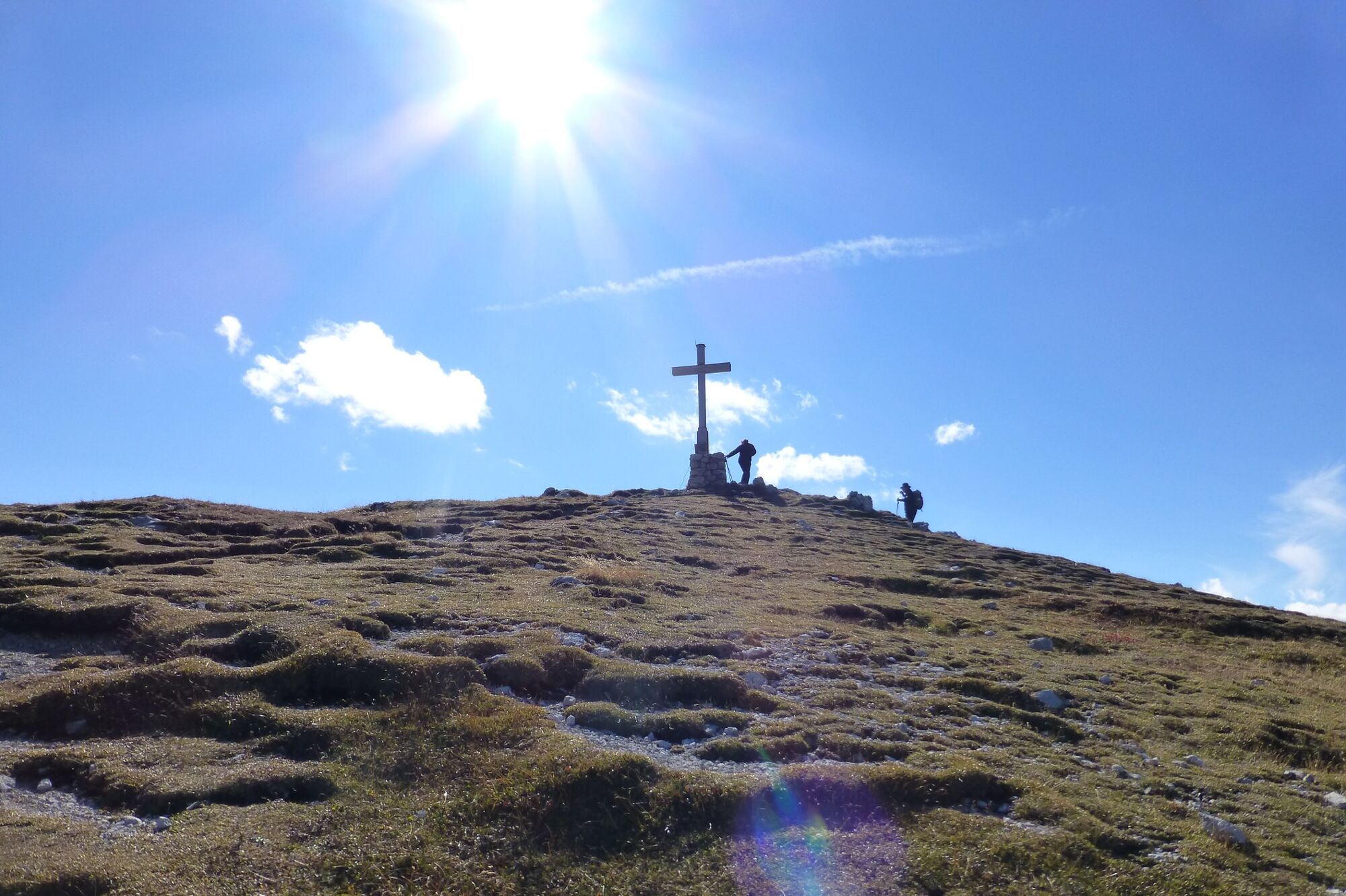
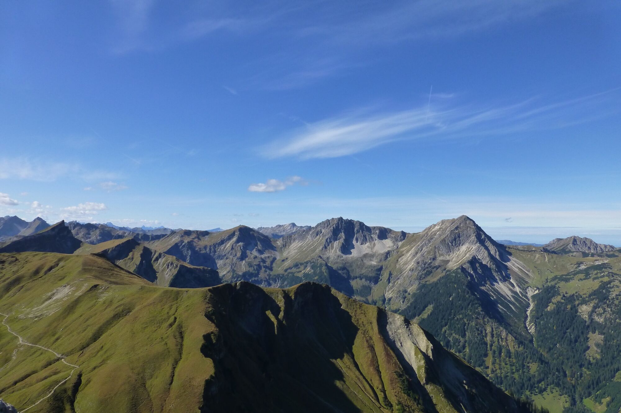
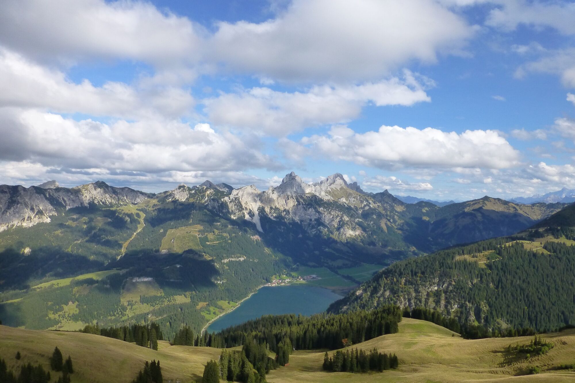
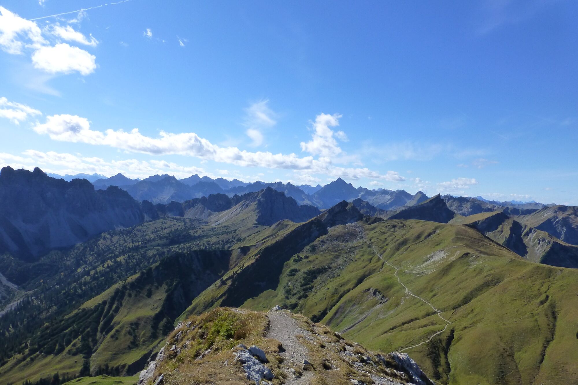
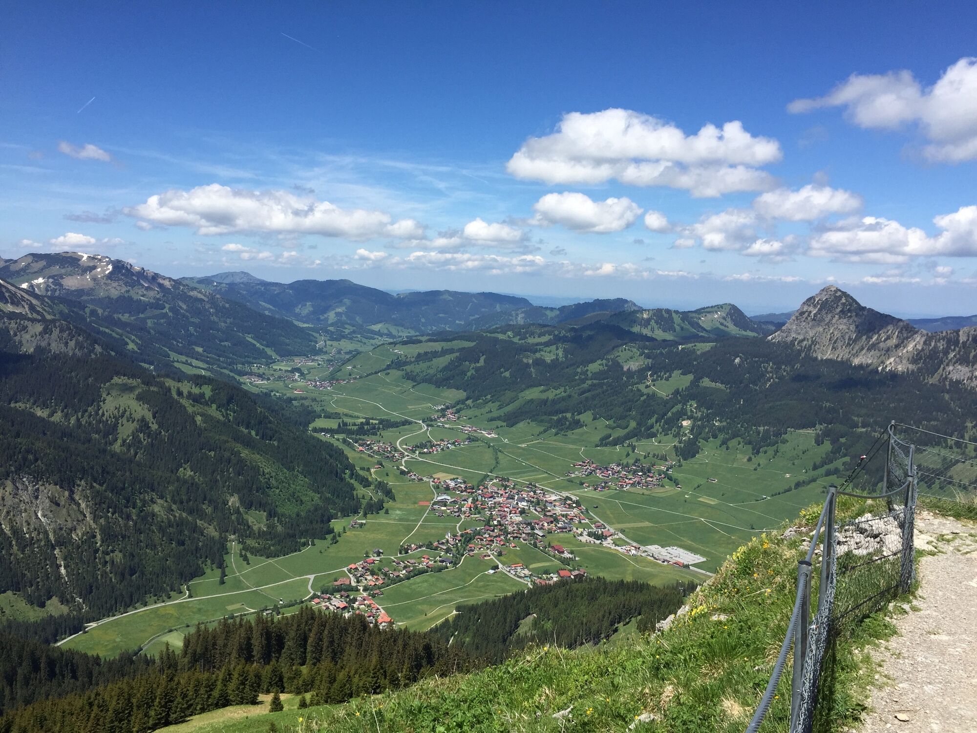
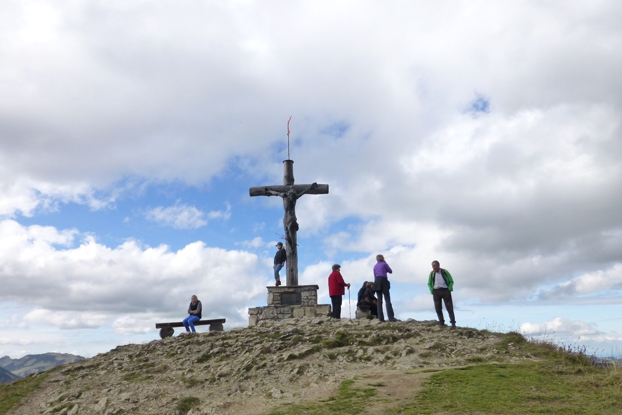
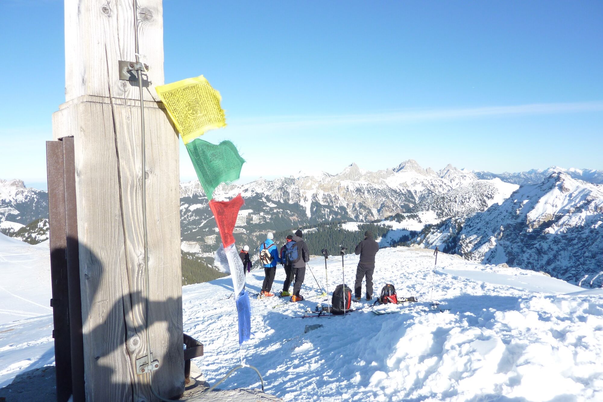
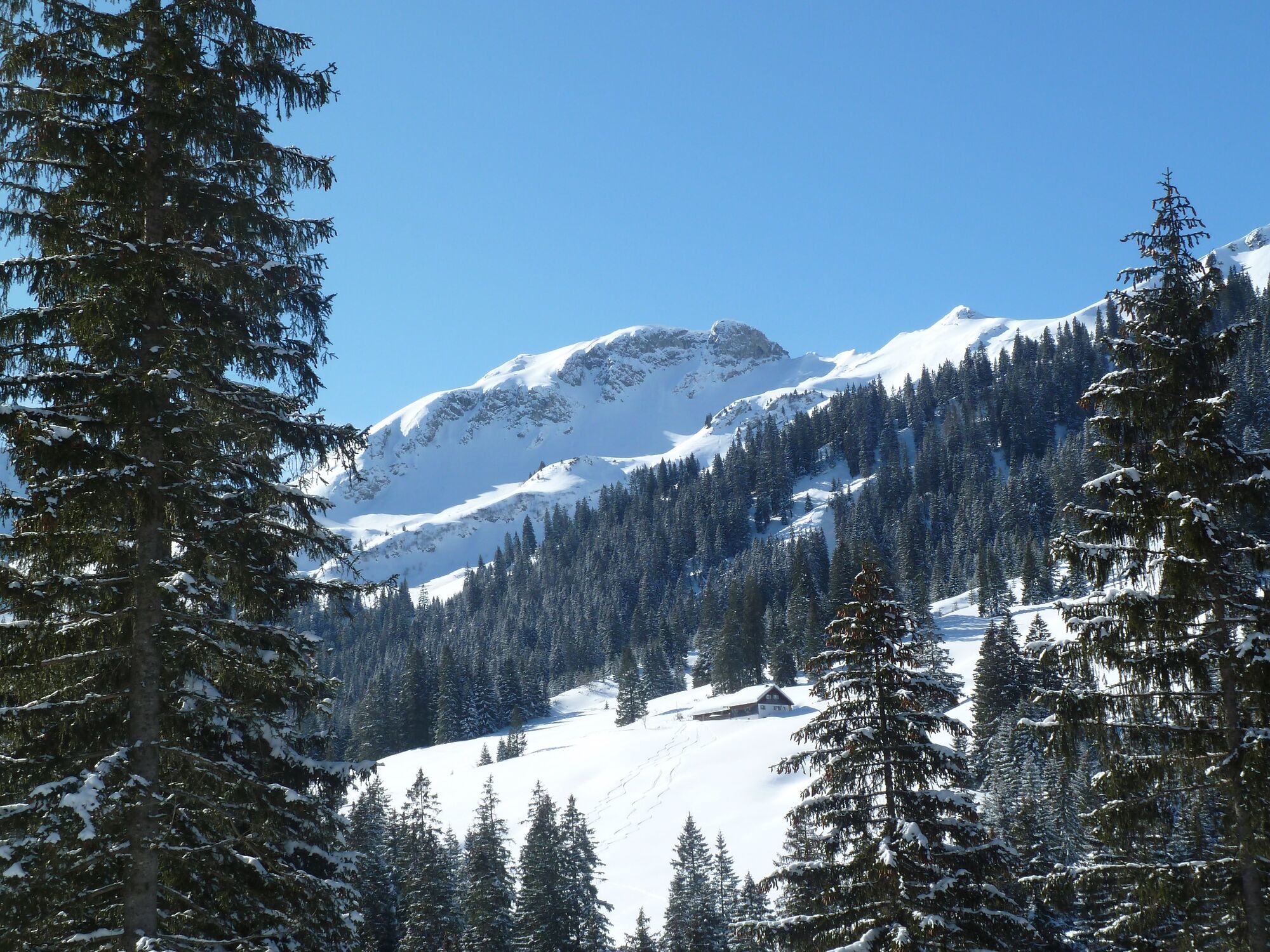
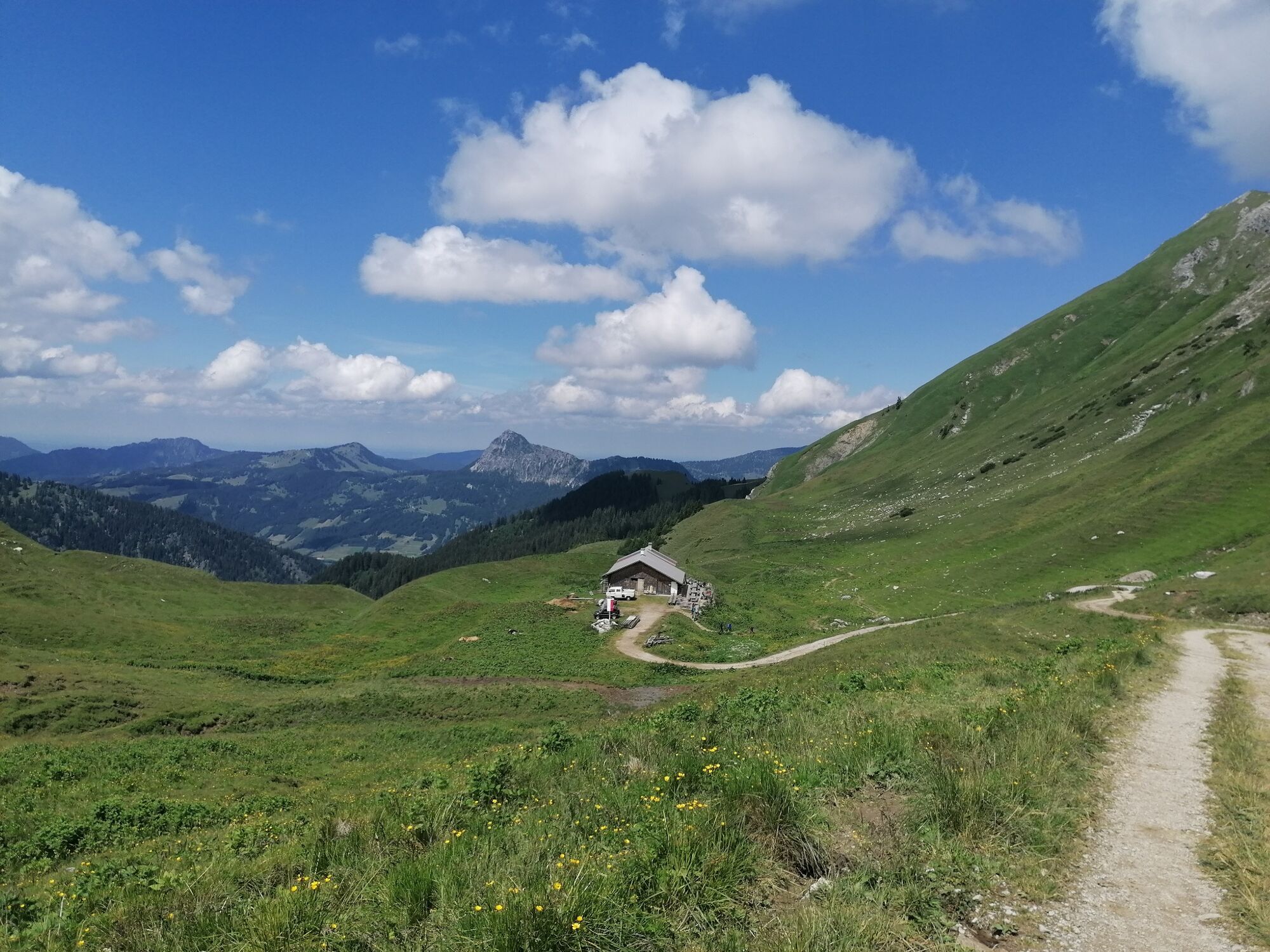
A wonderful summit hike to the Sulzspitze. The path offers magnificent views, a magnificent summit panorama and several refreshment stops. The Sulzspitze is not only a popular mountain in summer, but also a favourite for hikers in winter. The Sulzspitze is a beautiful, not too difficult mountain, which can be hiked in almost every season.
- Directions
-
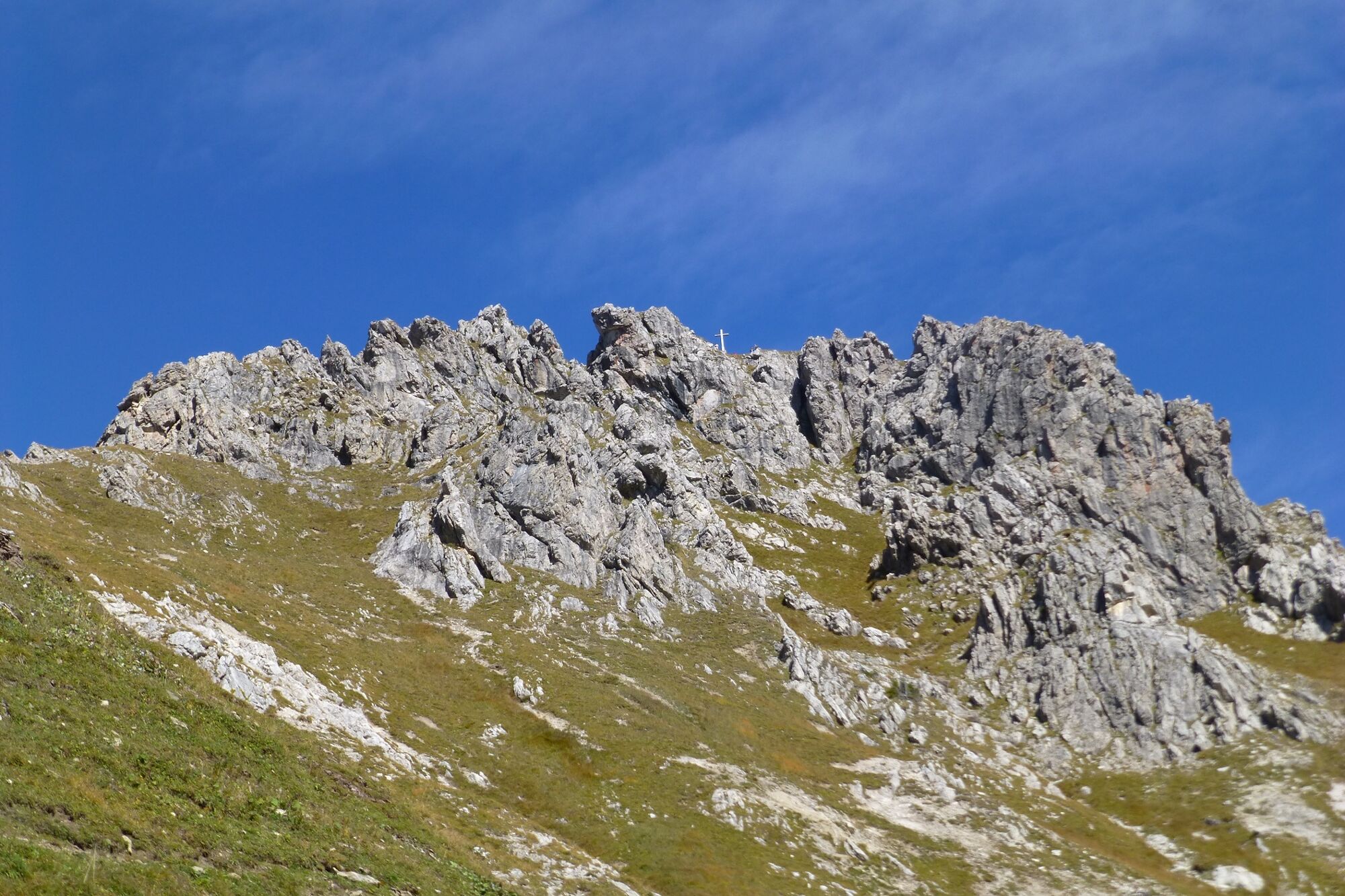
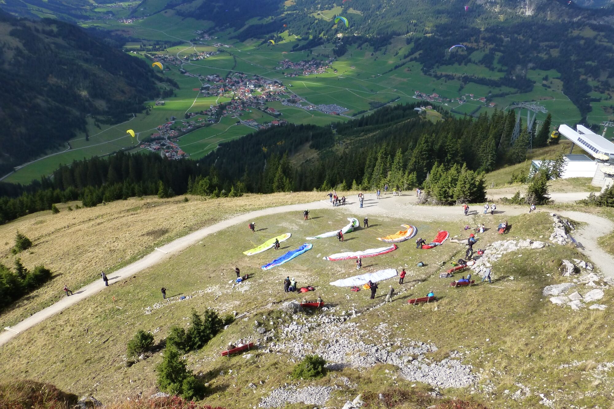
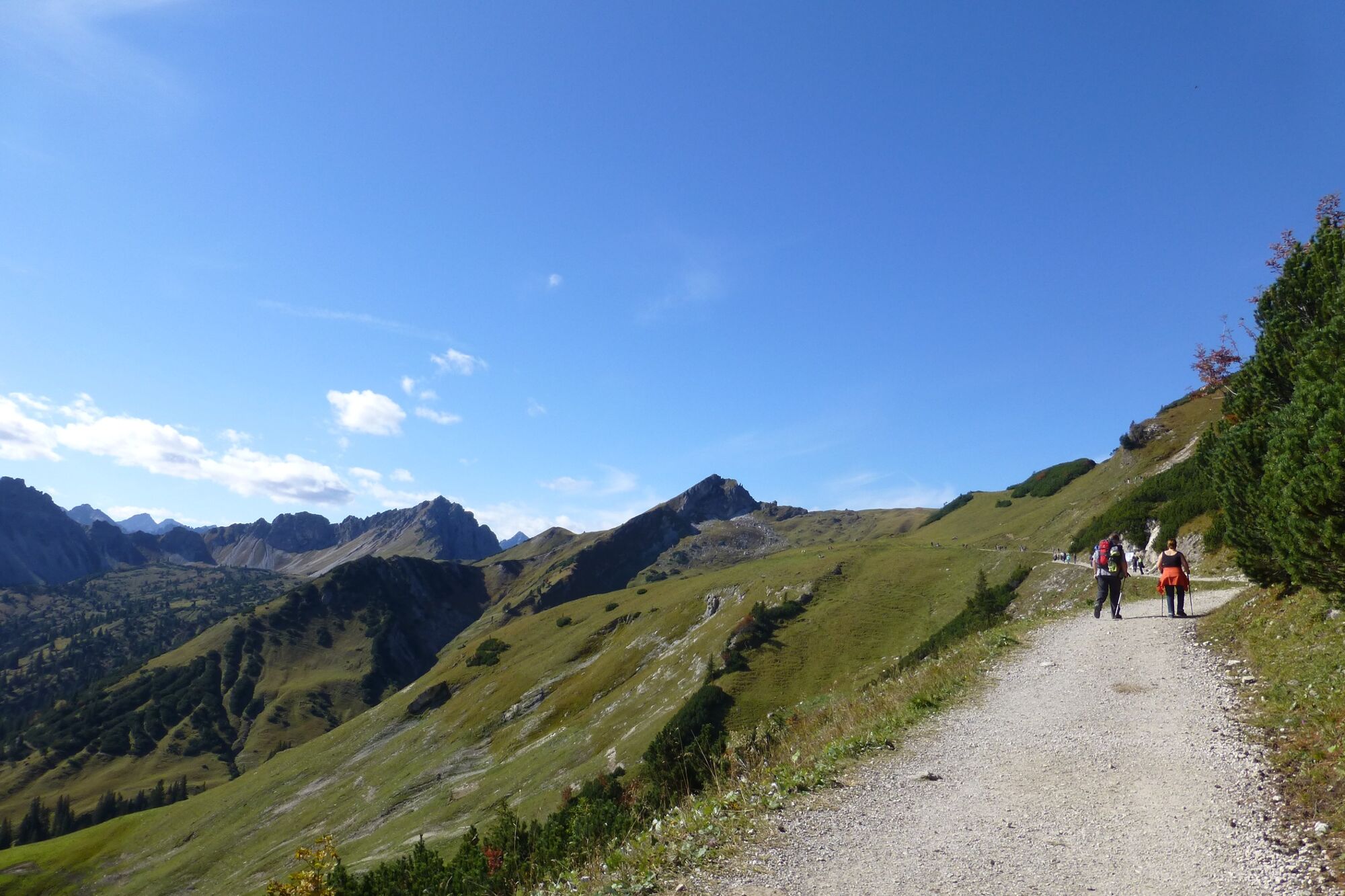
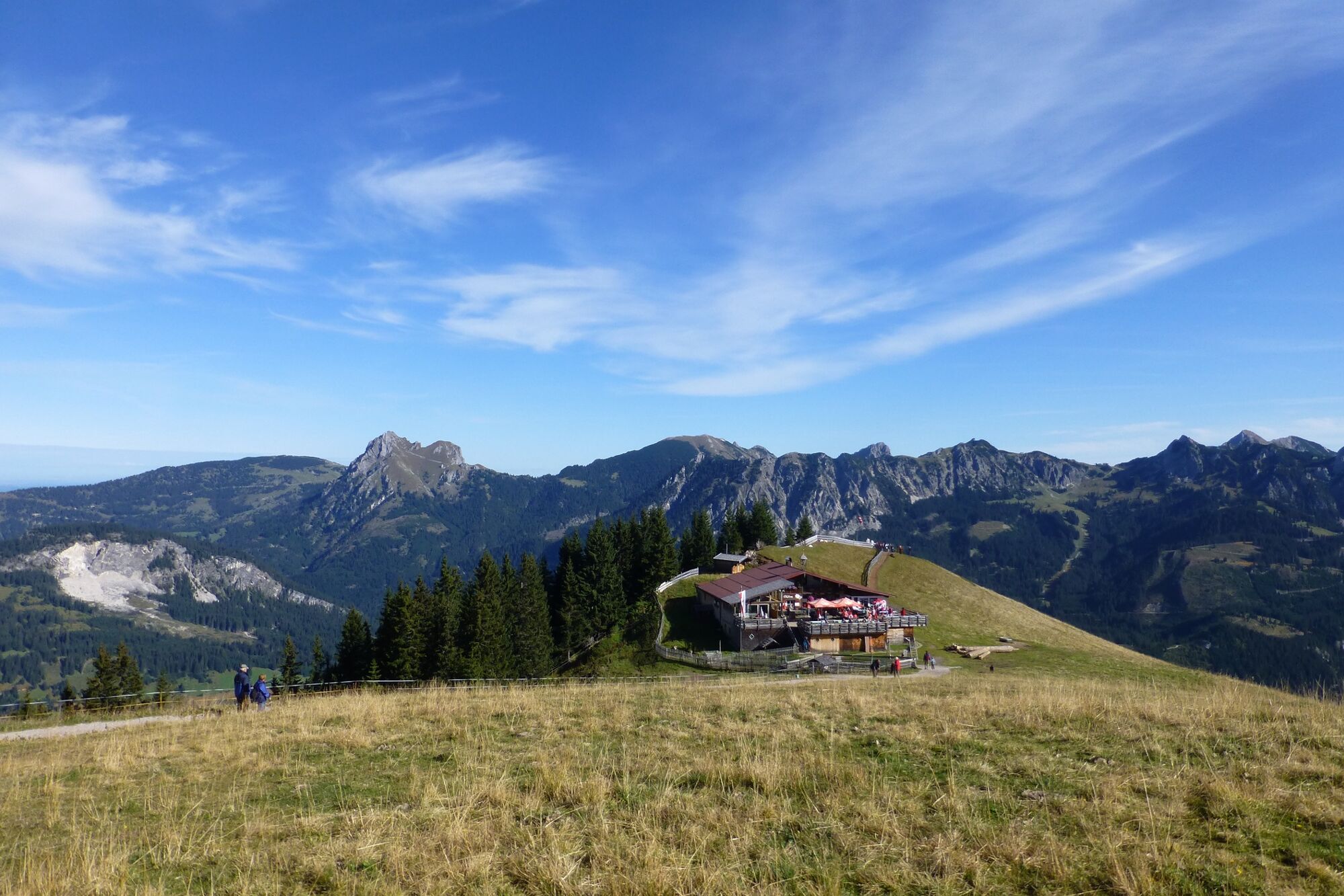
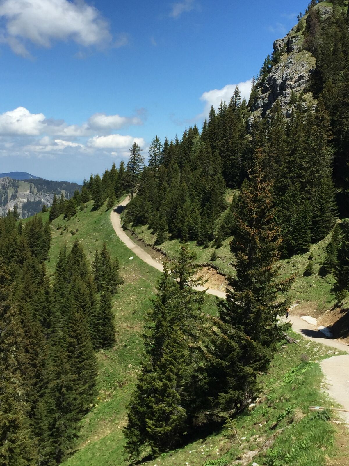
After the comfortable ascent by train to Neunerköpfle, we could already leave some meters of altitude behind us. The path leads us below the Neunerköpfle further south. To the left below is now the Strindenalm. The path is wonderful to walk along. Shortly afterwards there is a place with a sign: "Only for experienced hikers". We pass this place and after a short time we come to a signpost. Here we follow it to the top of the Sulzspitze. After a rest at the summit, we hike further over the Gappenfeldalm back into the valley. Here we follow the path towards Tannheim. Shortly before the bridge (approx. 80 metres after the gravel pit) we follow the forest path to the right. Here we follow the path straight on to the starting point.
- Highest point
- 2,075 m
- Endpoint
-
Bottom station Tannheim mountain railway
- Height profile
-

- Equipment
-
The personal mountaineering equipment must be safe and serviceable and meet the relevant technical standards. Every hiker is recommended to obtain information about the planned tours from specialist alpine literature or on site.
- Safety instructions
-
General valid and usual rules of conduct! it should be noted that in mountain sports there is an increased risk of accidents and injuries. Despite careful route planning, a basic risk always remains. Tour preparation through endurance sports, appropriate technical training and further education as well as personal prudence reduces the risk of accidents and injuries. However, please never forget that the weather in the mountains can change very quickly. Stay on the marked hiking trails.
- Tips
-
The tour is expandable, several peaks in the vicinity. The hiking trail further on to the Landsberger Hütte is also popular.
- Directions
-
On the motorway A7 at the exit "Oy-Mittelberg" on the B310 towards Wertach and to Oberjoch. Follow the signs "Tannheimer Tal" B199, exit Tannheim, Neunerköpfle mountain railway From the Tyrolean side via Reutte on the B198 towards Lechtal until Weißenbach, over the Gaichtpass along the B199 until exit Tannheim, Neunerköpfle mountain railway.
- Public transportation
-
By train to Sonthofen, Pfronten/Ried or Reutte, then by bus to Tannheim.
- Parking
-
Directly at the bottom station of the Tannheimer Bergbahn - free of charge


-

-
AuthorThe tour From Tannheim to Sulzspitze is used by outdooractive.com provided.


General info
-
Allgäu
2360
-
Tannheimer Tal
1449
-
Tannheim
519


