Großer Zunig 2.776 m
heavy
Navigate
Navigate
Get this tour on your mobile
Großer Zunig 2.776 m
heavy
Hiking
21.26
km
Scan the QR code and start navigation in the bergfex app

Hiking & Tracking


Distance
21.26
km
Duration
09:00
h
Ascent
1,718
m
Sea level
1,044 -
2,764
m
Track download
Großer Zunig 2.776 m
heavy
Hiking
21.26
km
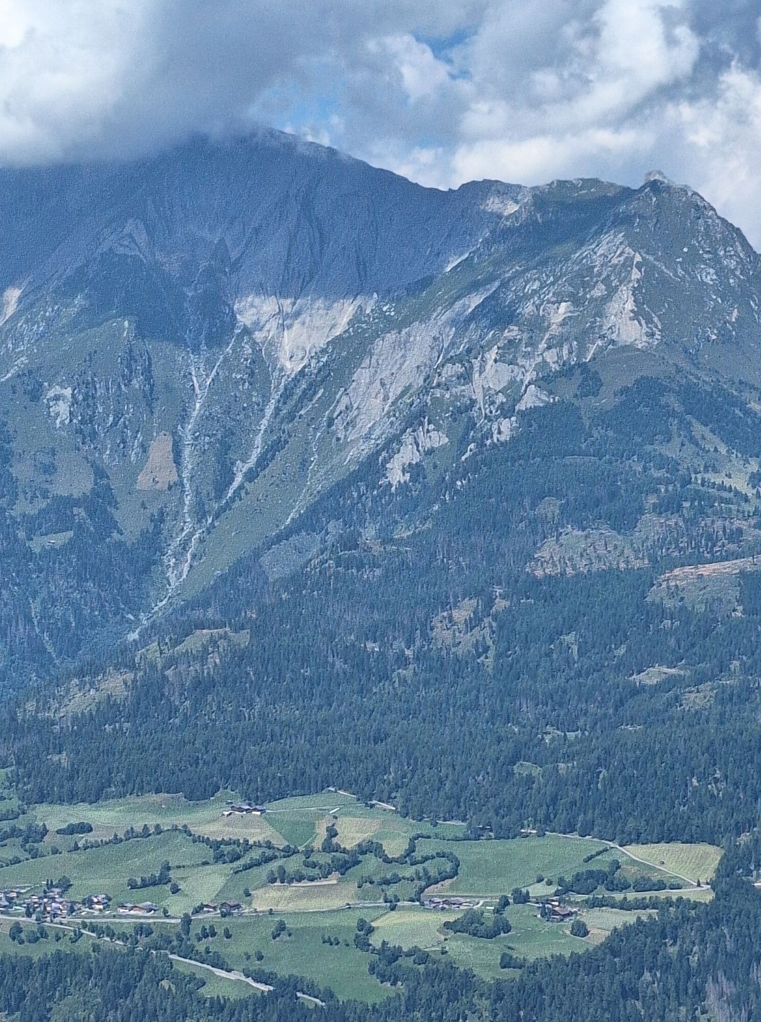
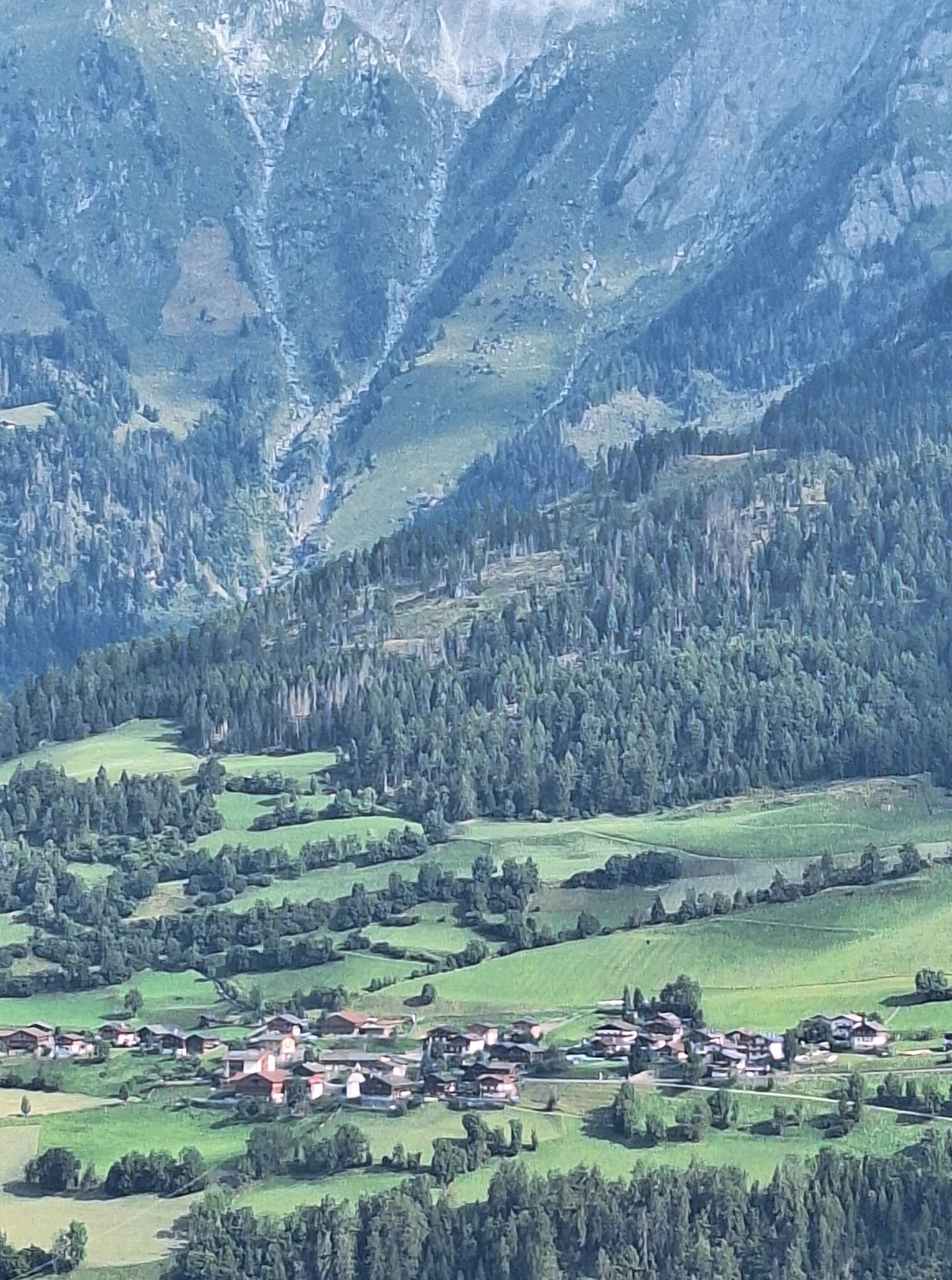
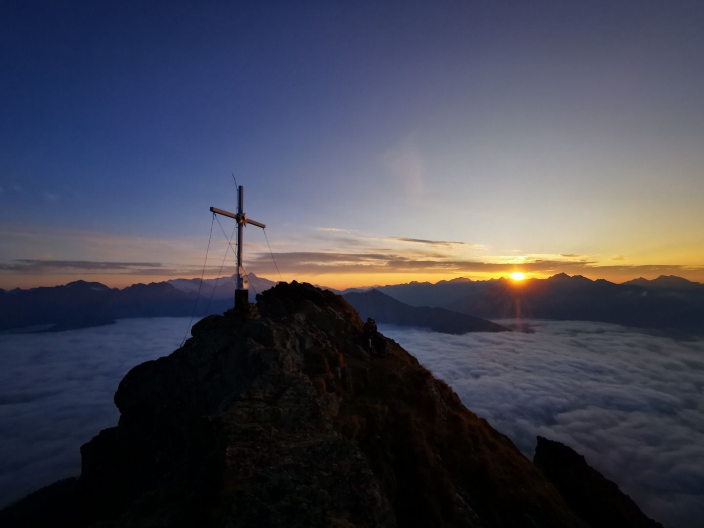
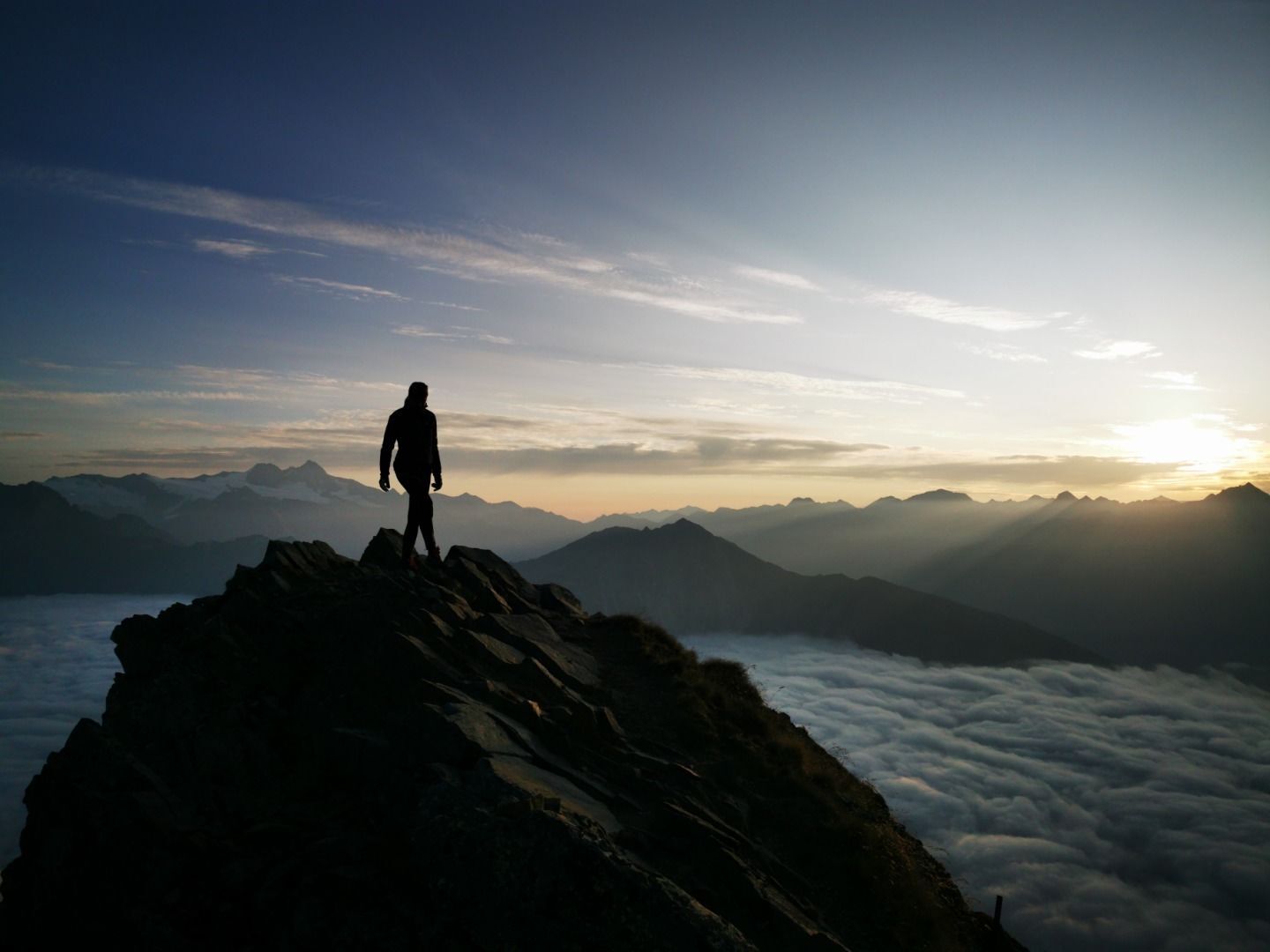
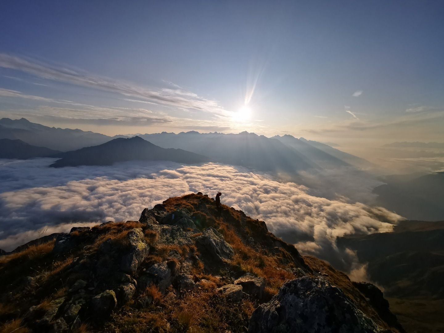
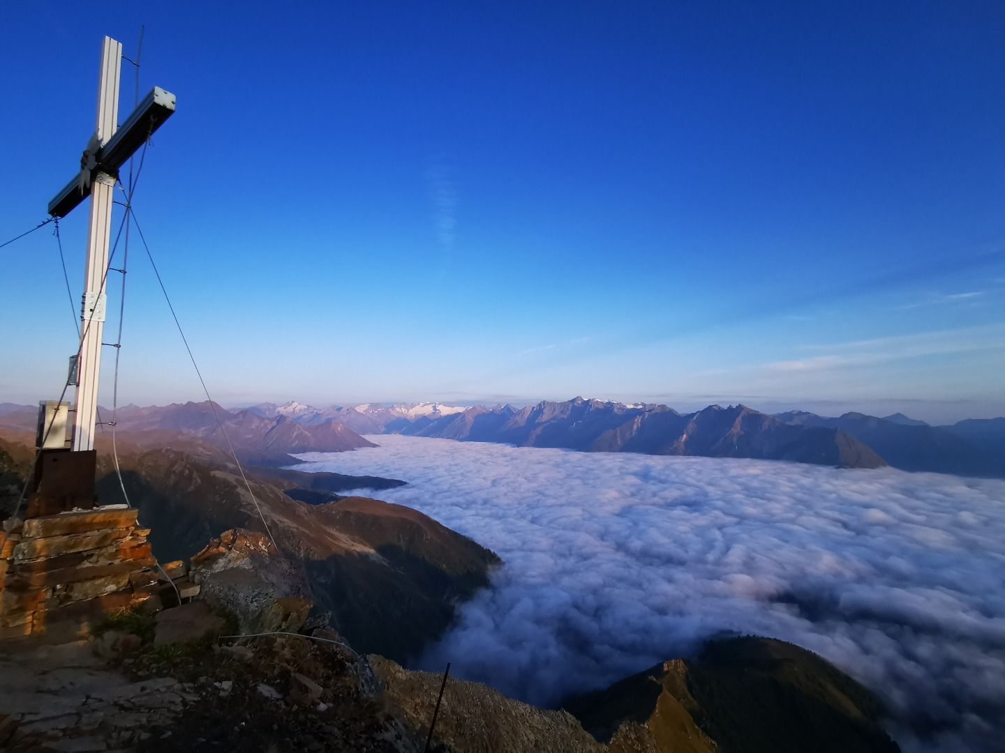
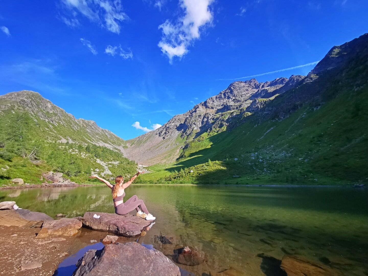
Thanks to its central location, the summit Großer Zunig provides breathtaking views. However
climbing it is very strenuous due to its enormous altitude difference. From the parking place Guggenberg you...
Description of the
Thanks to its central location, the summit Großer Zunig provides breathtaking views. However
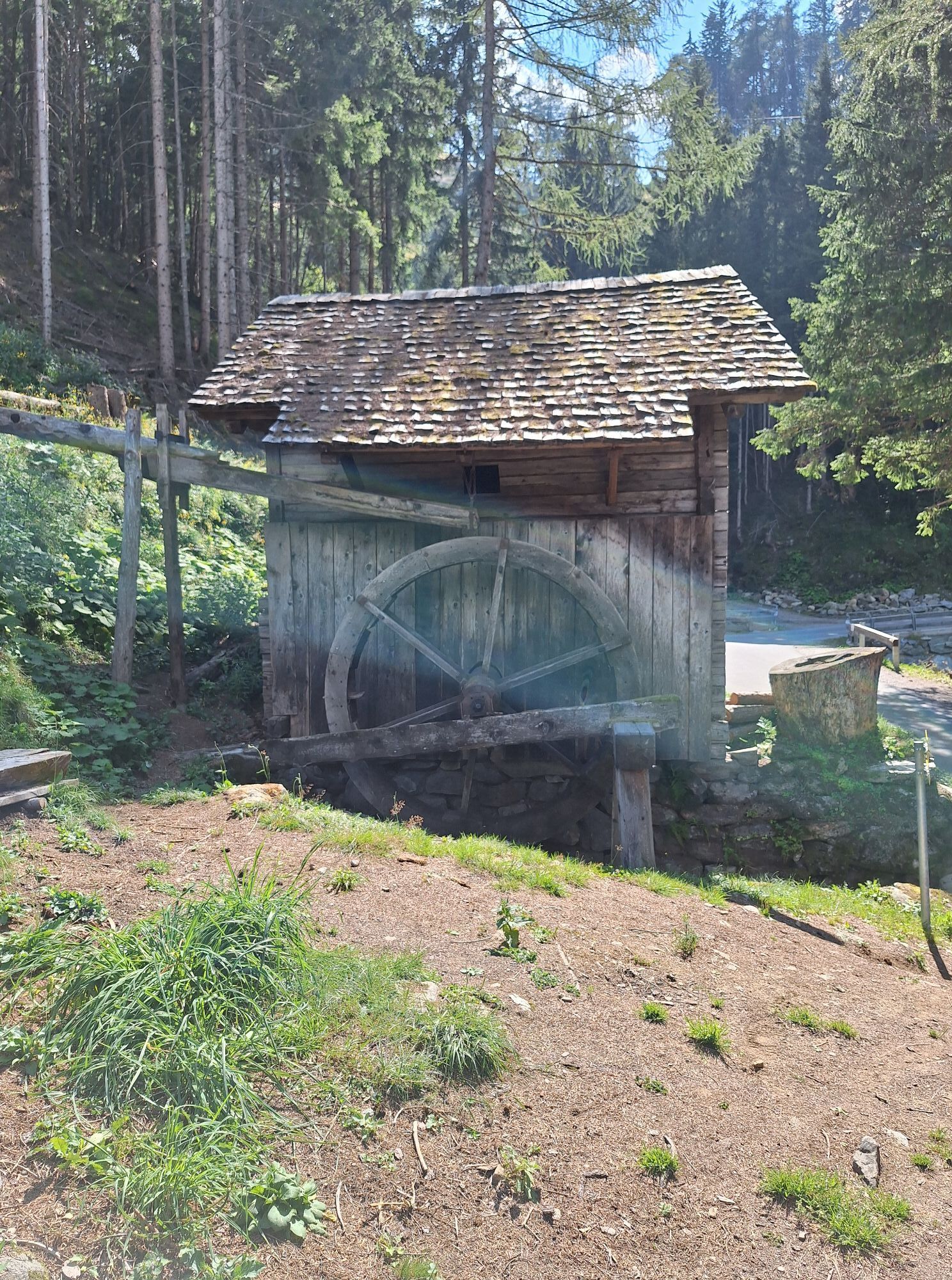
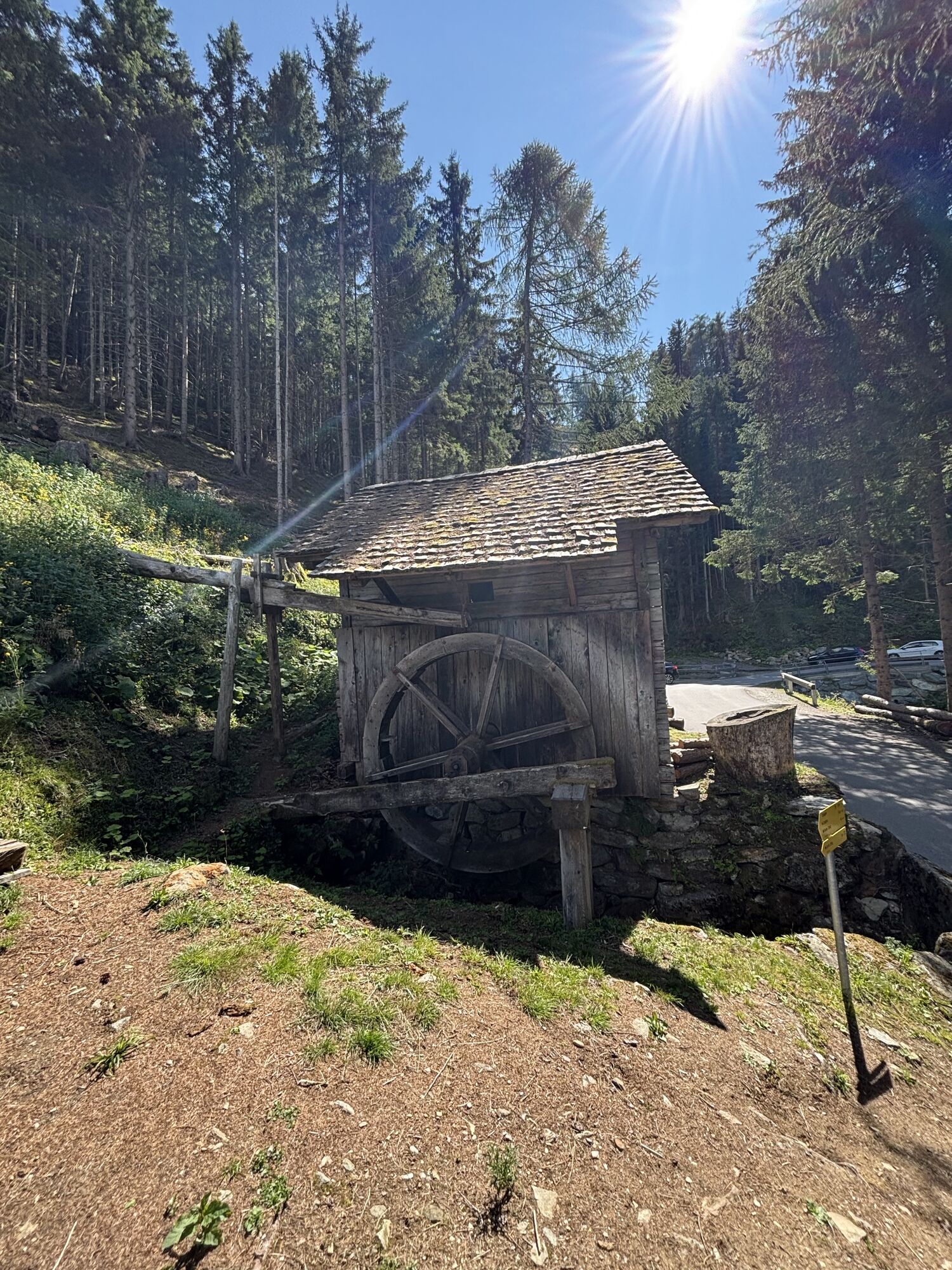
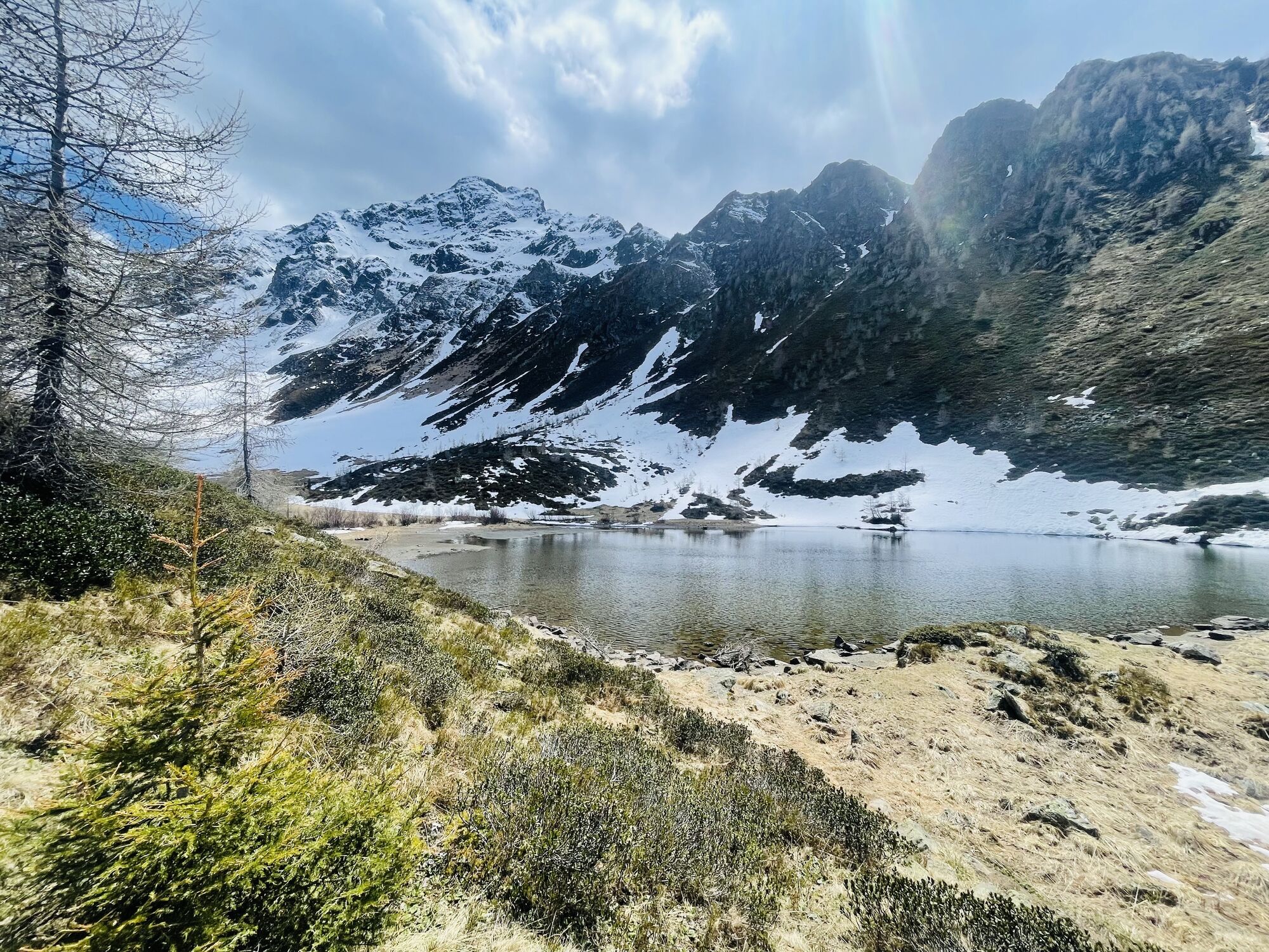
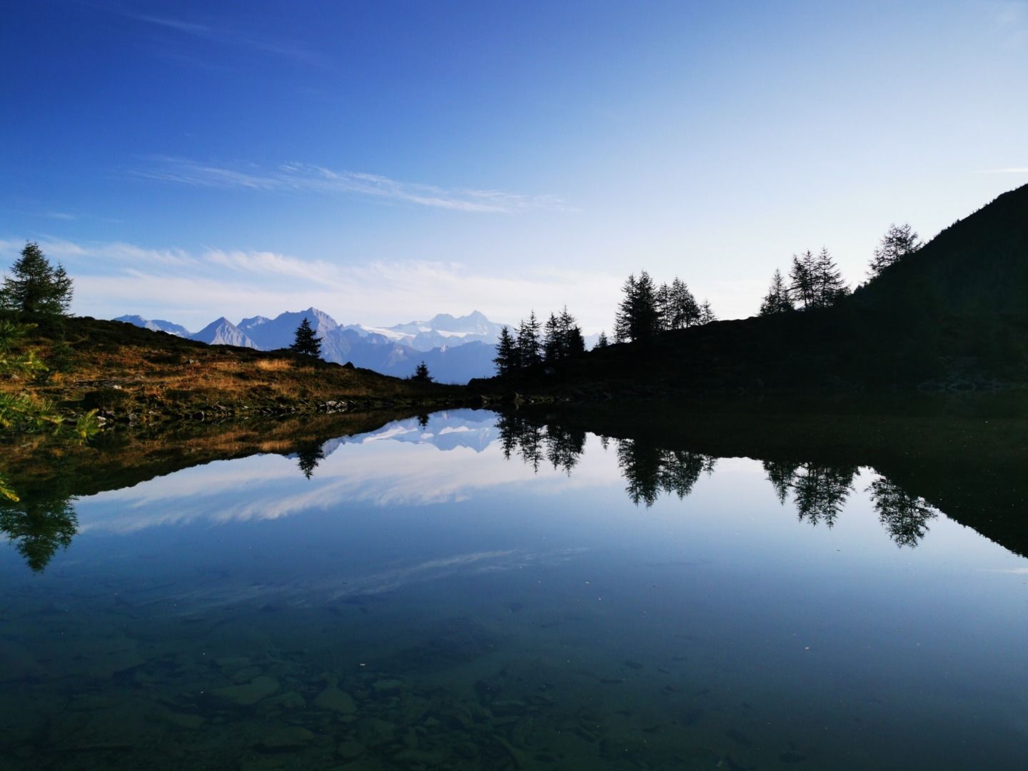
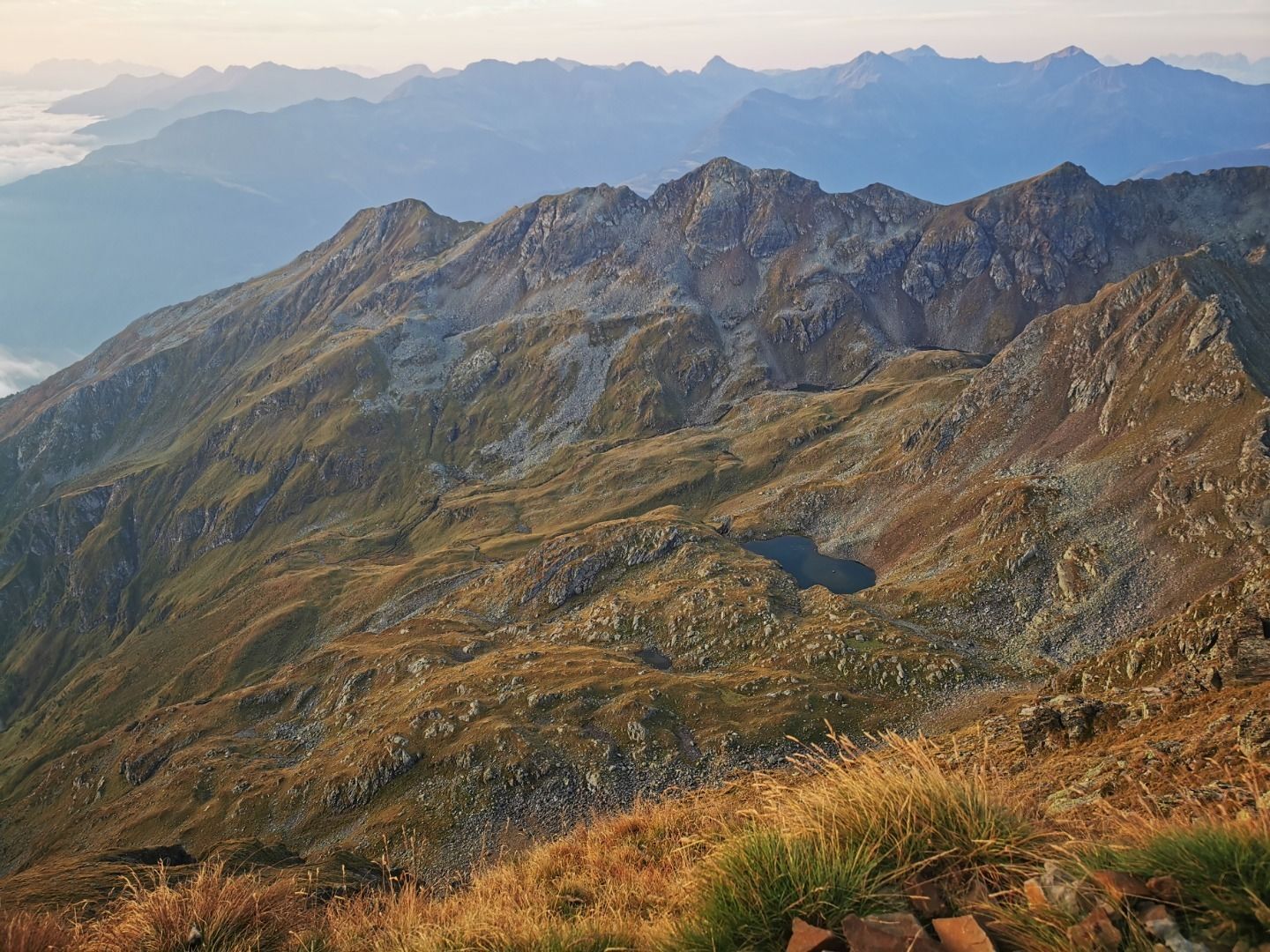
climbing it is very strenuous due to its enormous altitude difference. From the parking place Guggenberg you have to follow the forest road to the snack station Zunigalm (1.846 m). On a steep trail you get to the deep green mountain lake Zunigsee and hike then up on the mountain ridge to the col Zunigscharte. You reach the summit by following an easy to walk on, but quite steep north-eastern ridge. Arrived on the hiking destination, you can enjoy the superb panorama view to the massif Tauernmassiv and the Dolomites.
climbing it is very strenuous due to its enormous altitude difference. From the parking place Guggenberg you have to follow the forest road to the snack station Zunigalm (1.846 m). On a steep trail you get to the deep green mountain lake Zunigsee and hike then up on the mountain ridge to the col Zunigscharte. You reach the summit by following an easy to walk on, but quite steep north-eastern ridge. Arrived on the hiking destination, you can enjoy the superb panorama view to the massif Tauernmassiv and the Dolomites.
Route
Zunigalm
(1,848 m)
Shelter
6.8 km
Großer Zunig
(2,776 m)
Summit
10.6 km
Zunigtörl
(2,355 m)
Mountain saddle
11.7 km
Zunigalm
(1,848 m)
Shelter
14.3 km
Route
Großer Zunig 2.776 m
heavy
Hiking
21.26
km
Access information
Arrival
From Matrei in Osttirol to the district Bichl (in the south of Matrei in Osttirol). Pass the church St. Nikolaus and drive up the district Guggenberg for about 5 minutes to reach the parking place Guggenberg.
Public transport
Matrei in Osttirol Auerfeld
Parking
Parking place Guggenberg
No reviews yet
Popular tours in the neighbourhood
-
5.0
Figerhorn, 2743m, Lucknerhaus
mediumHiking 6.69 km -
5.0
Muhs-Panoramaweg
mediumHiking 14.0 km -
5.0
Muntanitz 3232m
heavyHigh tour 24.8 km -
5.0
Kleiner Zunig, Matrei in Osttirol, Österreich Matrei in Osttirol, Österreich
mediumHiking 12.6 km -
4.4
Themenweg "Geschichte(n)weg Dorfertal"
lightHiking 16.4 km -
5.0
Angstingeralm, Bodenalm, Eisseehütte
mediumHiking 14.5 km -
5.0
Rotenkogel
heavyHiking 4.22 km -
5.0
Bodenalm, Sajathütte, Rote Säule 2.820m Überschreitung D/E Klettersteig
heavyVia ferrata 15.6 km -
Roten Kogel
mediumHiking 5.25 km -
5.0
Kals / Burg - Bergeralm
lightHiking 7.96 km

Hiking & Tracking

Over 550.000 tour suggestions, detailed maps and an intuitive route planner make the app a must-have for all nature enthusiasts.

Don't miss out on offers and inspiration for your next holiday
Subscribe to the newsletter
Error
An error has occurred. Please try again.
Thank you for your registration
Your e-mail address has been added to the mailing list.
Tours throughout Europe
Austria
Switzerland
Germany
Italy
Slovenia
France
Netherlands
Belgium
Poland
Liechtenstein
Czechia
Slovakia
Spain
Croatia
Bosnia and Herzegovina
Luxembourg
Andorra
Portugal
Iceland
United Kingdom
Ireland
Greece
Albania
North Macedonia
Malta
Norway
Montenegro
Moldova
Kosovo
Hungary
San Marino
Romania
Estonia
Latvia
Belarus
Cyprus
Lithuania
Serbia
Bulgaria
Monaco
Denmark
Sweden
Finland