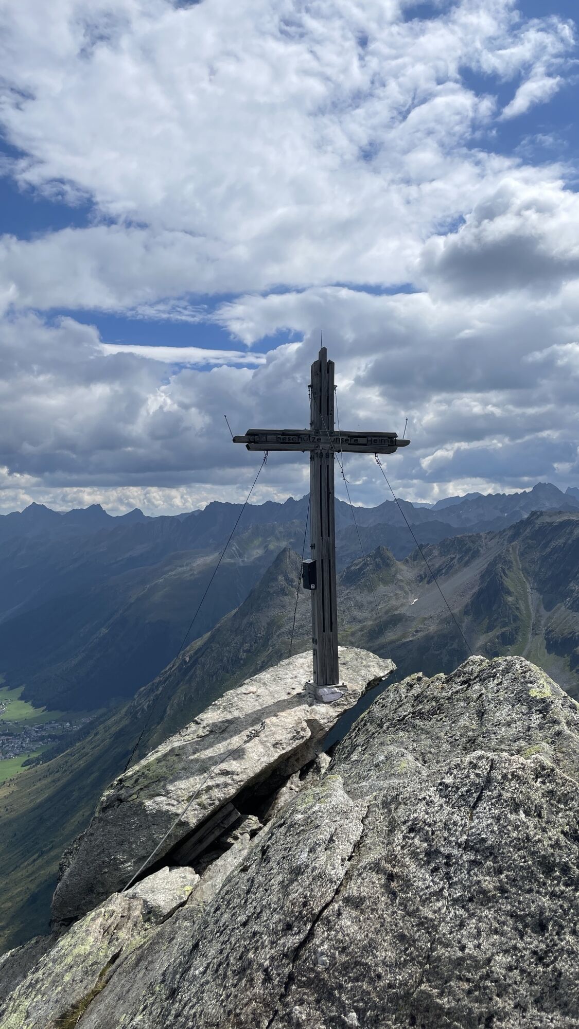
Ballunspitze
heavy
Navigate
Navigate
Get this tour on your mobile
Ballunspitze
heavy
Hiking
6.47
km
Scan the QR code and start navigation in the bergfex app

Hiking & Tracking


Distance
6.47
km
Duration
02:26
h
Ascent
702
m
Sea level
1,949 -
2,656
m
Track download
Ballunspitze
heavy
Hiking
6.47
km
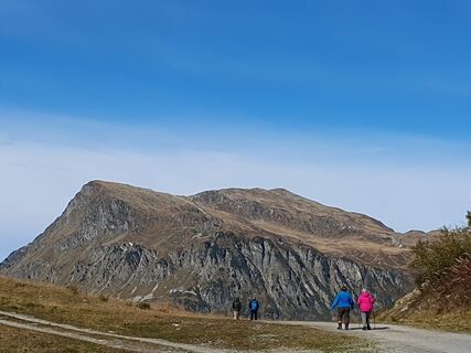
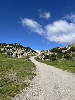
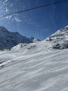
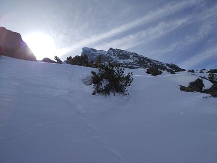
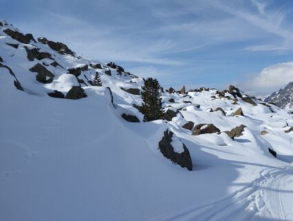
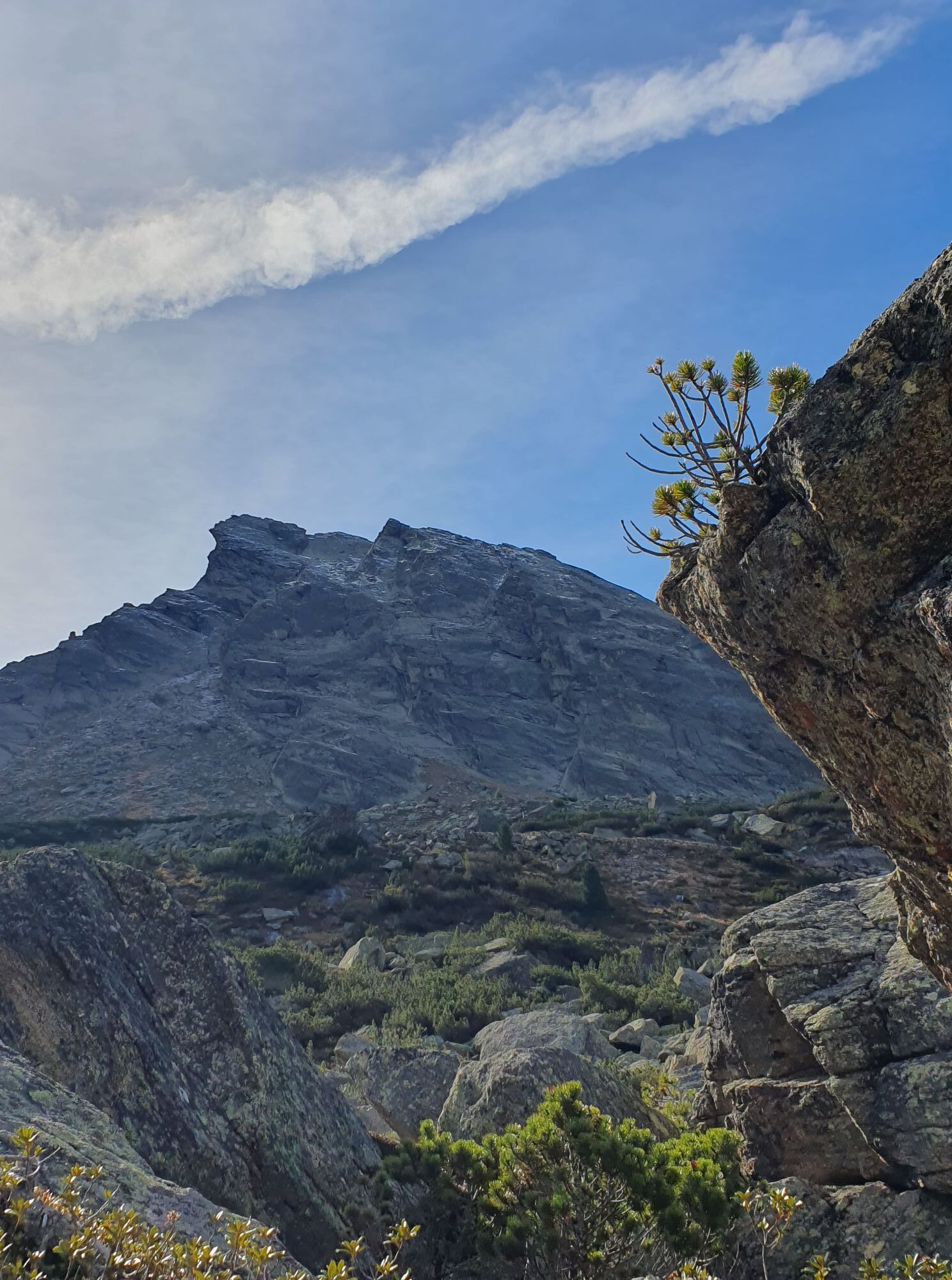
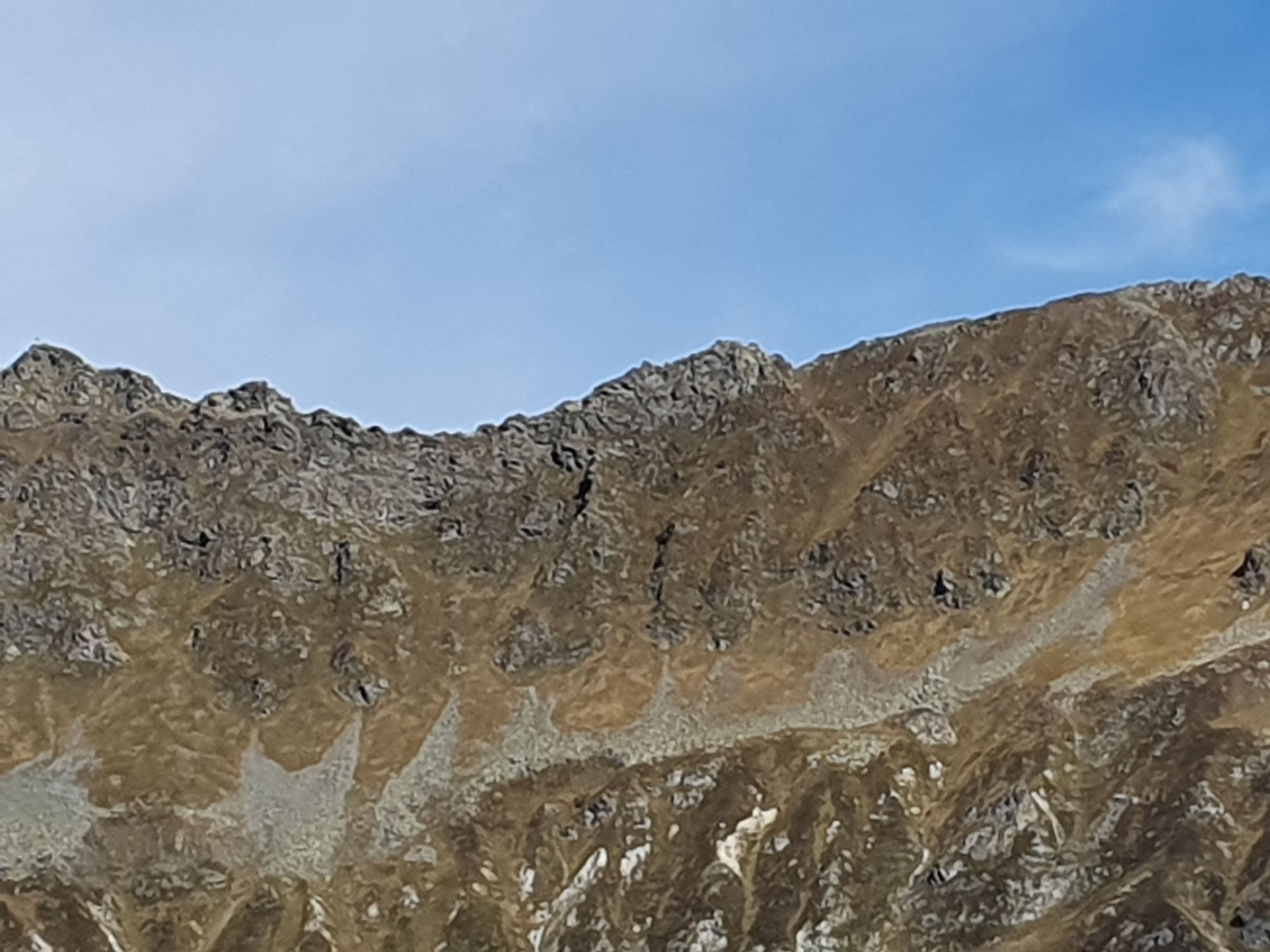
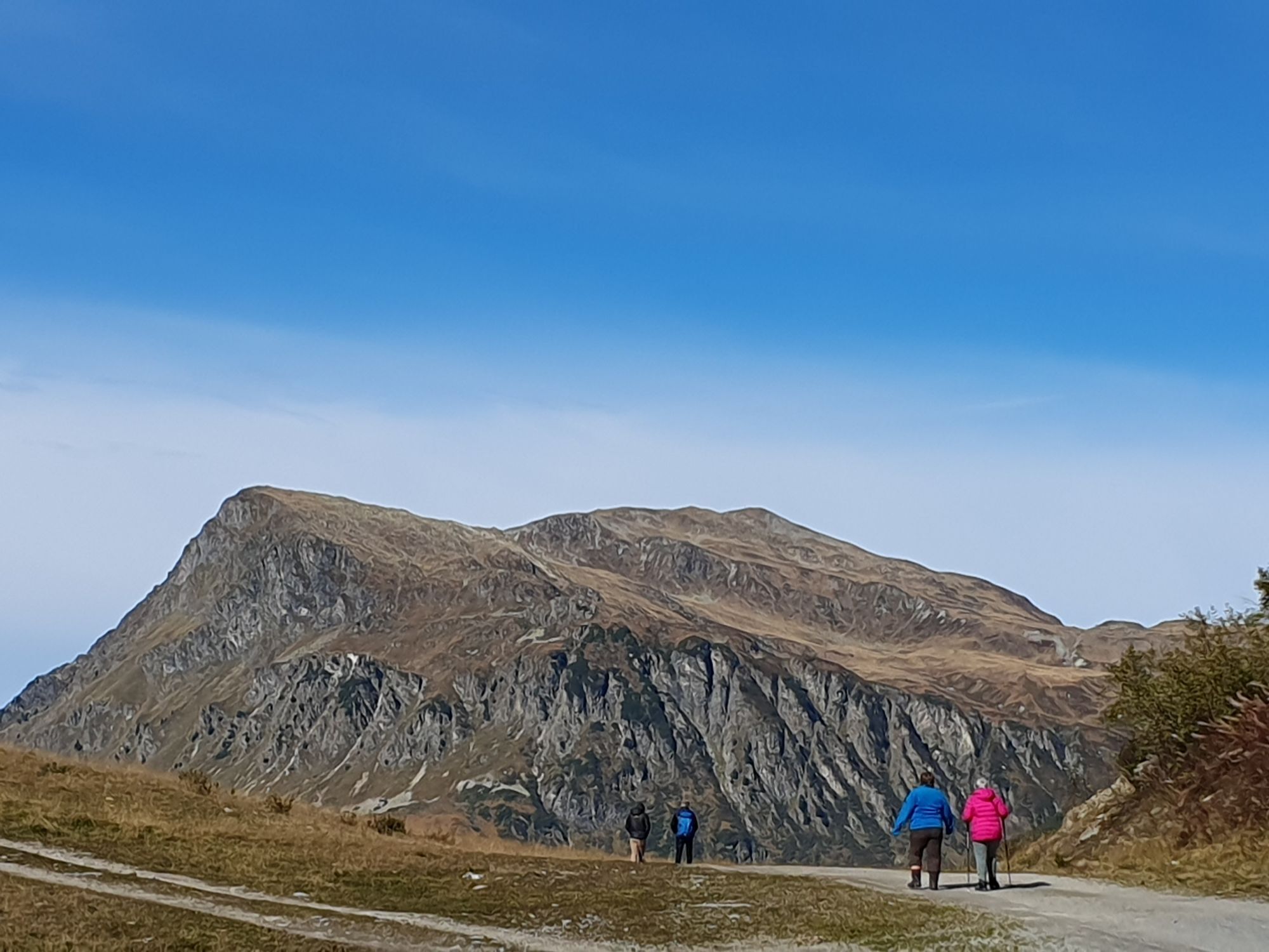
Photos from our users
-

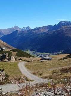
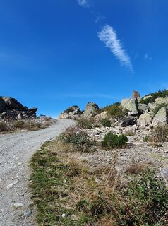
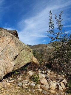
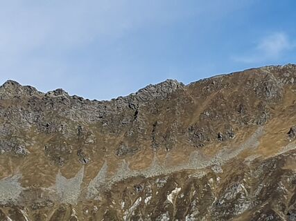
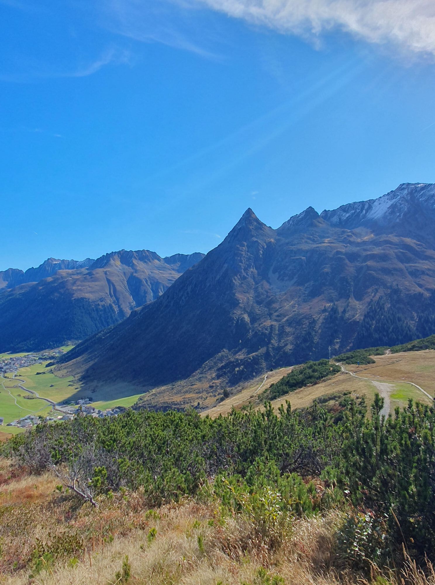
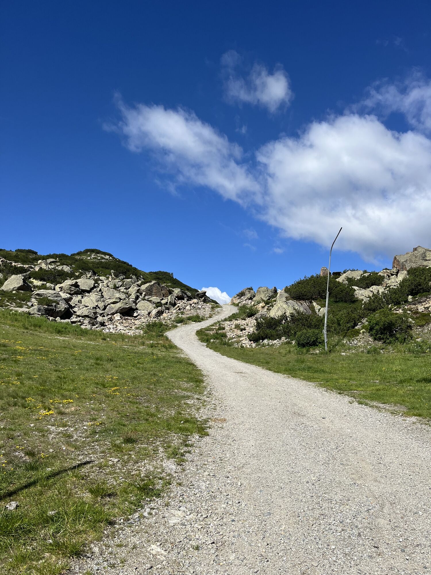
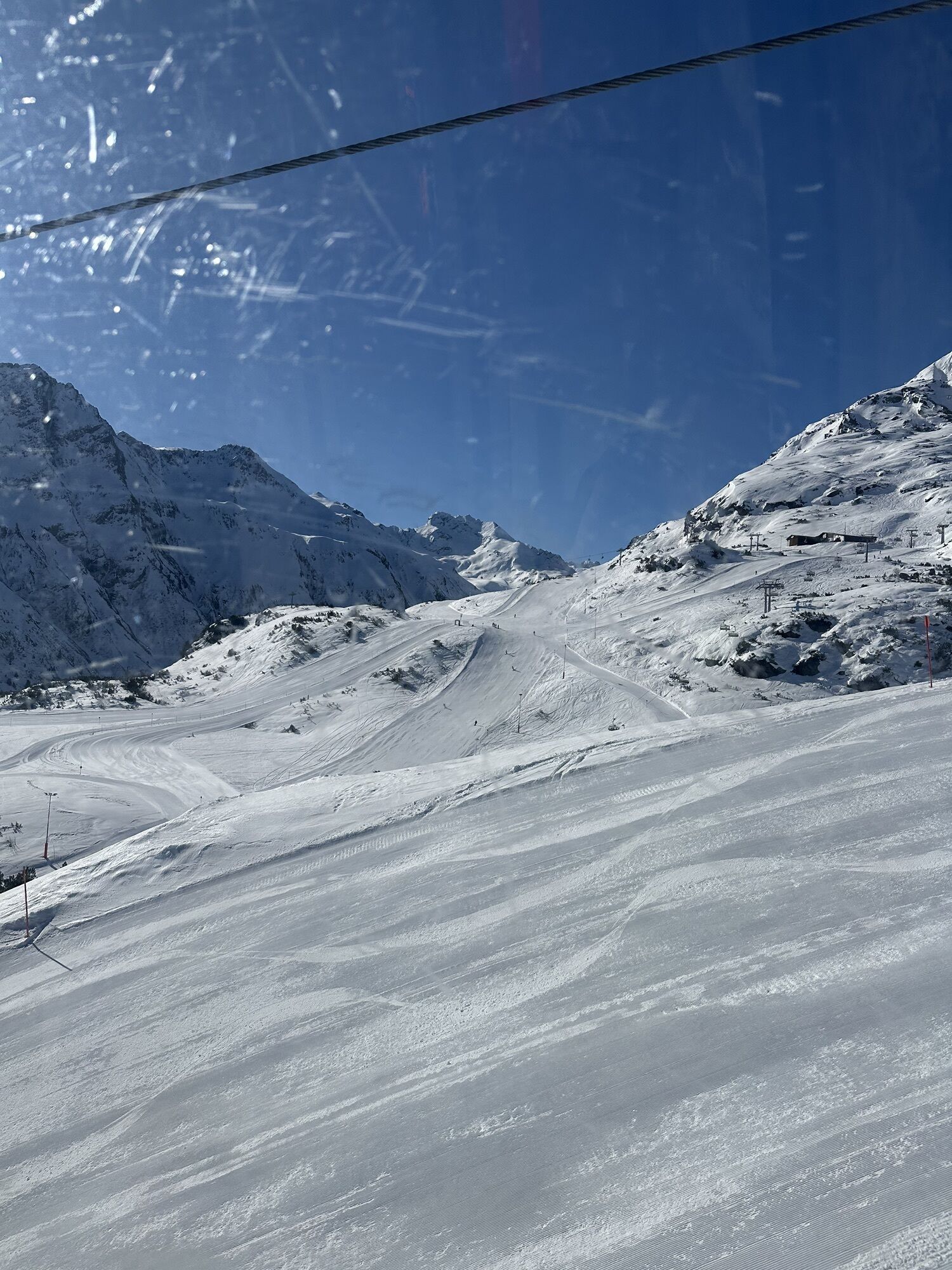
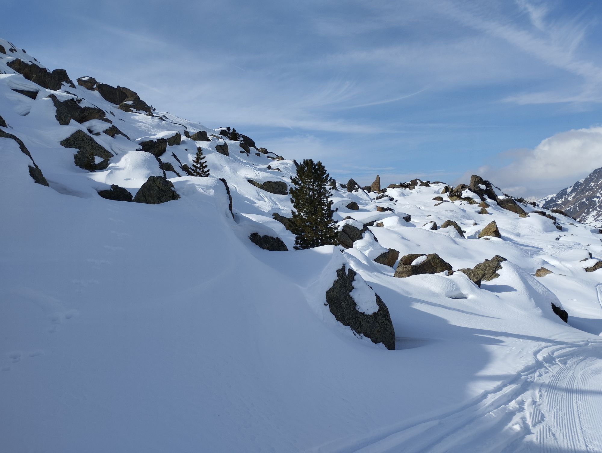
 © Christian StieberCreated on 03.10.2025
 -
 © Christian StieberCreated on 03.10.2025
 -
 © Christian StieberCreated on 03.10.2025
 -
 © Christian StieberCreated on 03.10.2025
 -
 © Christian StieberCreated on 03.10.2025
 -
 © Christian StieberCreated on 03.10.2025
 -
 © Christian StieberCreated on 03.10.2025
 -
 © Adam SzlottaCreated on 28.06.2025
 -
 © Marcus LCreated on 13.03.2026
 -
 © bergmax69Created on 23.02.2025
 -
 © bergmax69Created on 23.02.2025


Super Tour, anspruchsvoll aber sehr rentabel. Super Aussicht über Galtür und Umgebung.
Route
Route
Ballunspitze
heavy
Hiking
6.47
km

Route information
Route
Die Hälfte des Weges ist ein Güterweg (im Winter Schipiste), die obere Hälfte geht etwas steiler leider ohne Markierungen hinauf. Trotzdem ist der Weg und der Gipfel leicht zu finden.
Equipment
Für den Wanderweg wird keine Ausrüstung benötigt.
Valuations
2 Comments
Herbert Egger
17. Sep. 2025
Ballunspitze
Lässig👍
Dirk Schremper
02. Jun. 2024
Ballunspitze
Ich weiß nicht,wer diese Tour hier beschrieben hat.
Es hat allerdings nichts mit der Realität zu tun.
Der an und Abstieg zur Ballunspitze ist sehr steil ausgesetzt und kurz vor dem Gipfelkreuz kommt man an eine Stelle,an dem der Klettersteig kreuzt. Da ist angurten anzuraten.
Bei Nässe ist komplett von dieser Tour abzuraten.
Der Schwierigkeitsgrat ist zwischen 1 und 2 anzusiedeln.
Also Vorsicht bei zu einfachen Beschreibungen!
Webcams of the tour
-
Ballunspitzbahn
-
Galtür - Kopssee
-
Galtür - Dorf
-
Galtür - Kopssee
-
Galtür - Kopssee
-
Galtür - Kopssee
-
Galtür - Kopssee
-
Galtür - Kopssee
-
Galtür - Hotel Luggi
-
Breitspitzbahn
-
Breitspitzbahn
-
Breitspitzbahn
-
Breitspitzbahn
-
Breitspitzbahn
-
Breitspitzbahn
-
Breitspitzbahn
-
Heilbronner Hütte
-
Heilbronner Hütte
-
Heilbronner Hütte

Popular tours in the neighbourhood
-
4.8
Hiking trail Piz Buin - view
mediumHiking 14.4 km -
5.0
Großer Piz Buin (3.312m), Normalweg 2019 über Ochsentaler Gletscher
heavyHigh tour 24.1 km -
2.8
Bielerhöhe and circular hike around the Silvretta reservoir
mediumHiking 13.1 km -
4.8
Heilbronner lodge
mediumHiking 13.0 km -
4.4
Vom Kopssee zur Breitspitze Gemeinde Gaschurn, Vorarlberg/Österreich
mediumHiking 12.5 km -
4.7
Alpgues circular route
mediumThematic route 9.36 km -
4.4
Madrisella summit path
mediumThematic route 10.8 km -
5.0
Wiegensee-Kopssee
mediumHiking 8.17 km -
5.0
Wiegenseeweg
mediumThematic route 12.7 km -
5.0
Menta Alm - Scheibenalm
lightHiking 11.4 km
Hiking & Tracking

Over 550.000 tour suggestions, detailed maps and an intuitive route planner make the app a must-have for all nature enthusiasts.

Don't miss out on offers and inspiration for your next holiday
Subscribe to the newsletter
Error
An error has occurred. Please try again.
Thank you for your registration
Your e-mail address has been added to the mailing list.
Tours throughout Europe
Austria
Switzerland
Germany
Italy
Slovenia
France
Netherlands
Belgium
Poland
Liechtenstein
Czechia
Slovakia
Spain
Croatia
Bosnia and Herzegovina
Luxembourg
Andorra
Portugal
Iceland
United Kingdom
Ireland
Greece
Albania
North Macedonia
Malta
Norway
Montenegro
Moldova
Kosovo
Hungary
San Marino
Romania
Estonia
Latvia
Belarus
Cyprus
Lithuania
Serbia
Bulgaria
Monaco
Denmark
Sweden
Finland