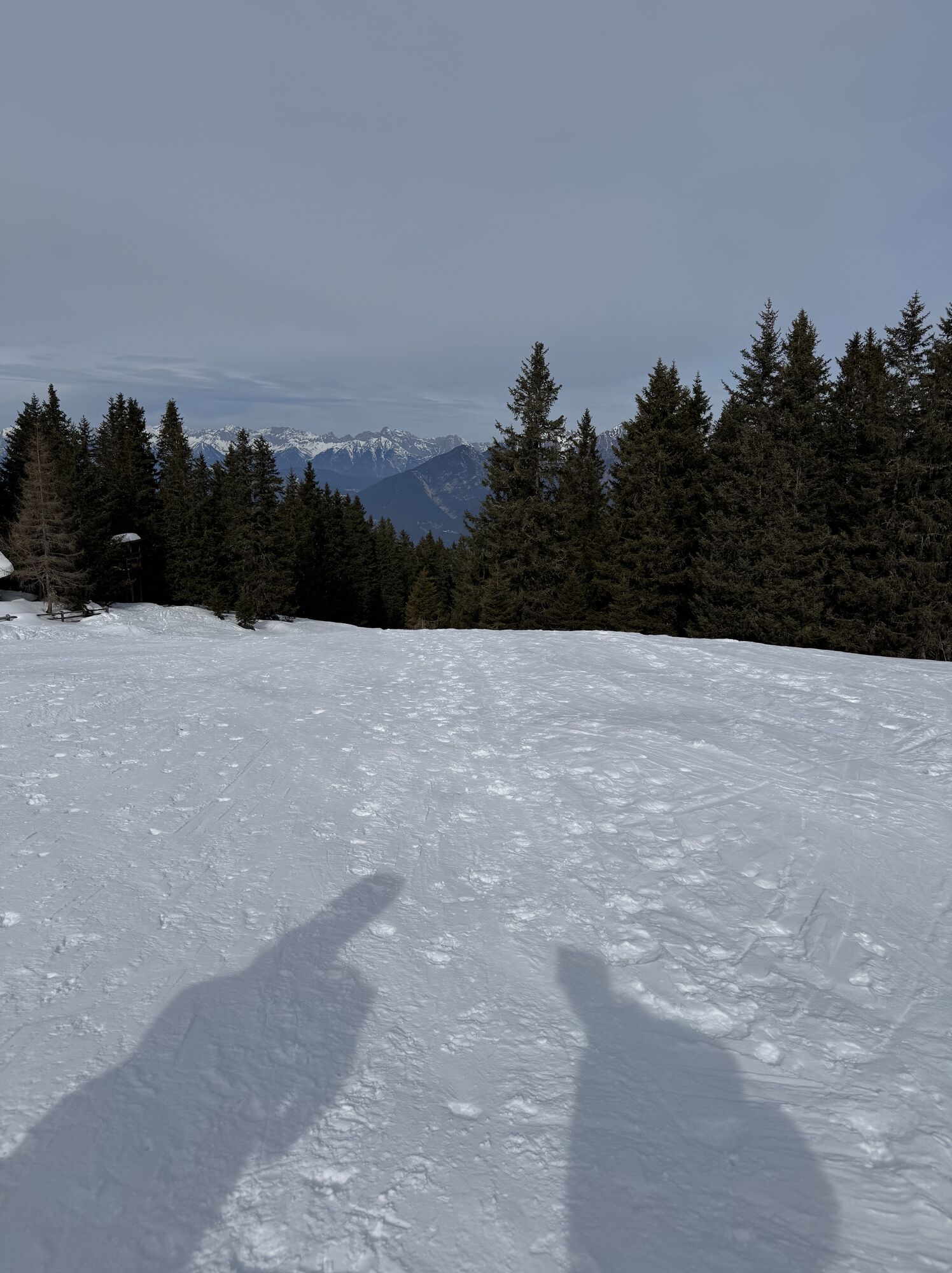
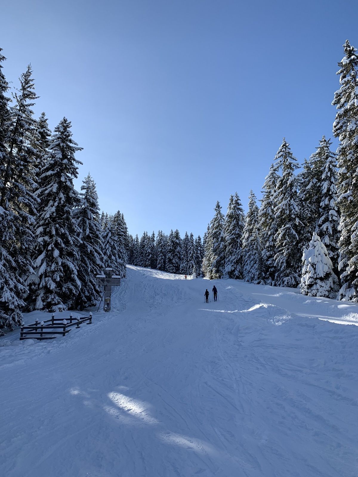
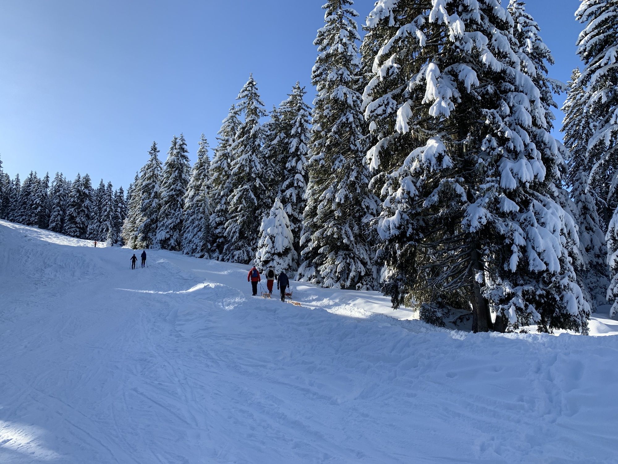
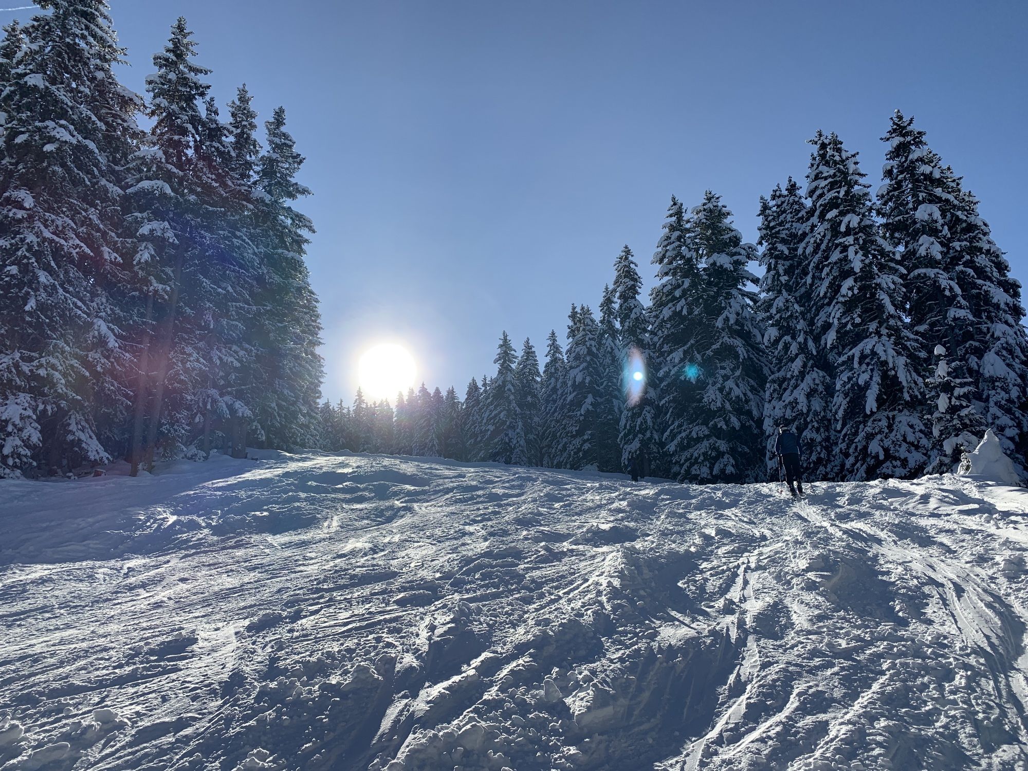
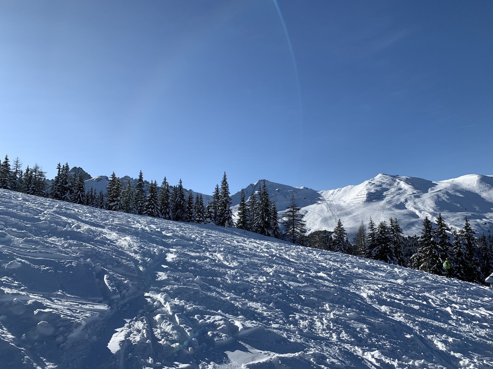
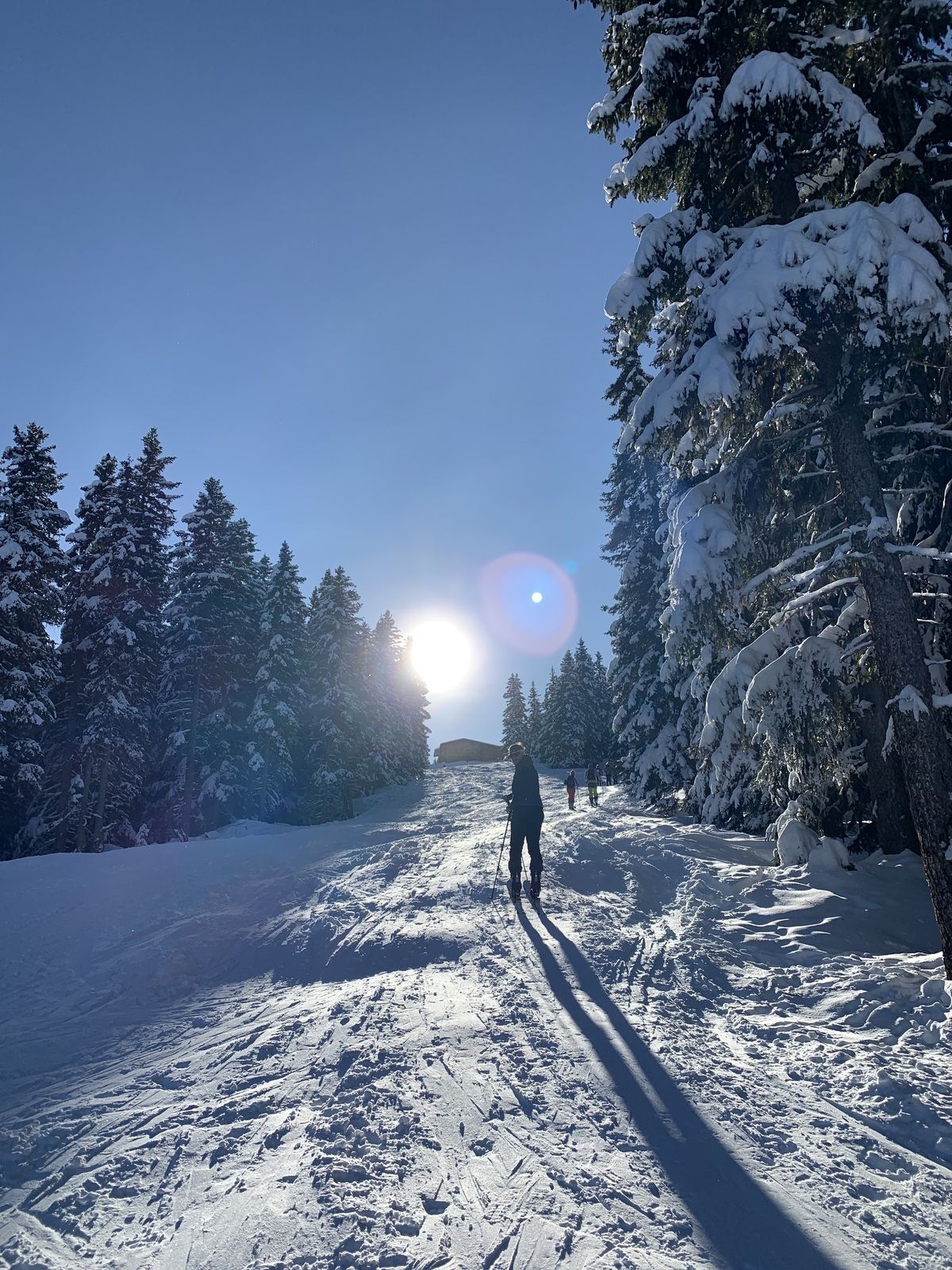
Birgitzköpflhaus
light
Navigate
Navigate
Get this tour on your mobile
Birgitzköpflhaus
light
Ski tour
4,18
km
Scan the QR code and start navigation in the bergfex app

Hiking & Tracking


Distance
4,18
km
Duration
01:33
h
Ascent
707
m
Sea level
1.323 -
2.029
m
Track download
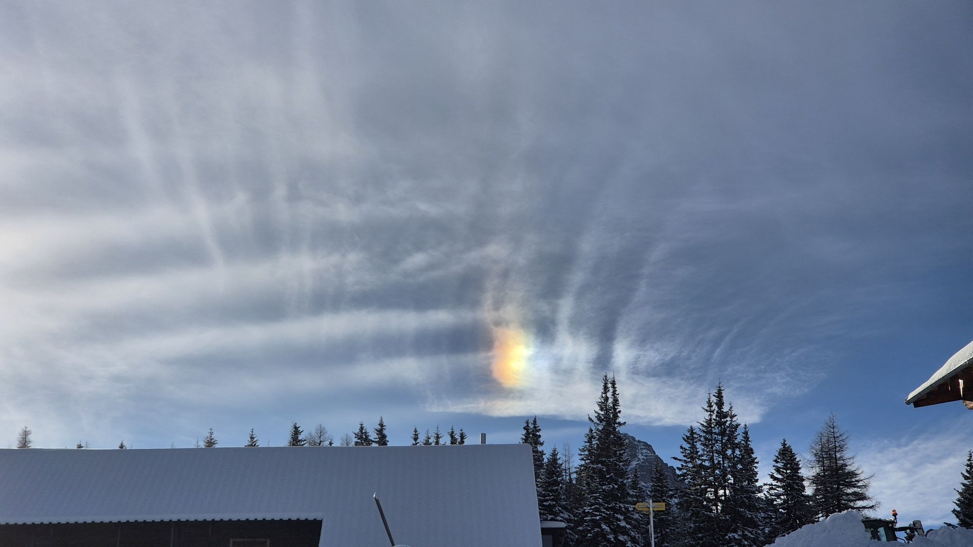
Birgitzköpflhaus
light
Ski tour
4,18
km


Route
Kehre 4
(1.356 m)
Corridor/terrain
0,3 km
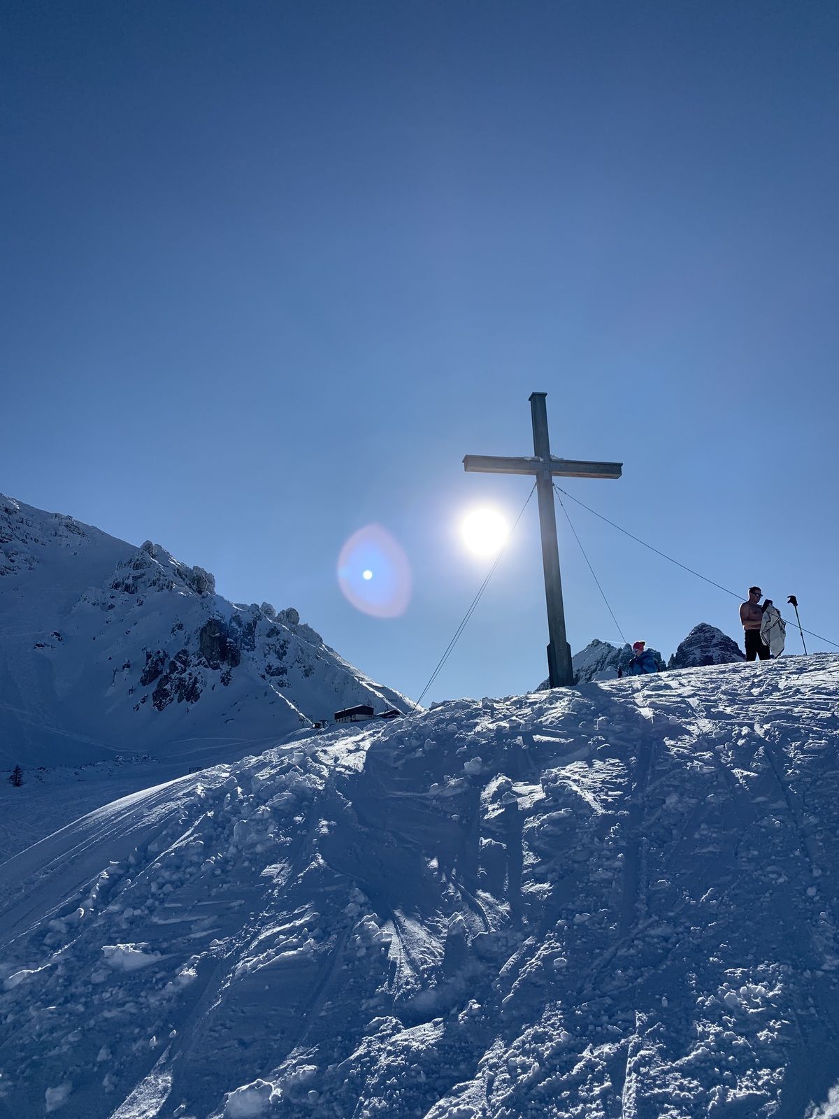
Birgitzköpfl
(1.980 m)
Summit
3,5 km
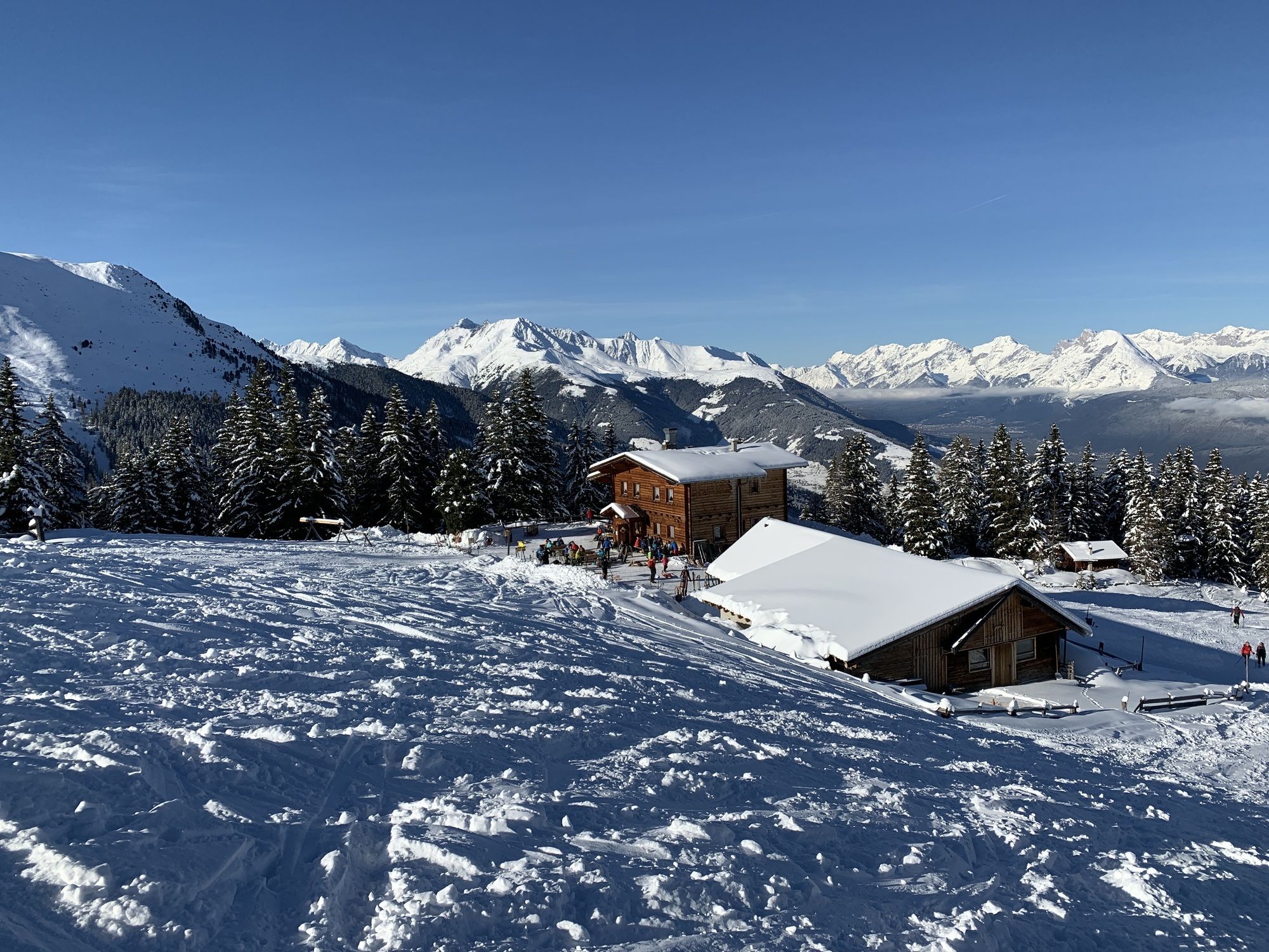
Birgitzköpflhaus
(2.035 m)
Restaurant
4,2 km
Route
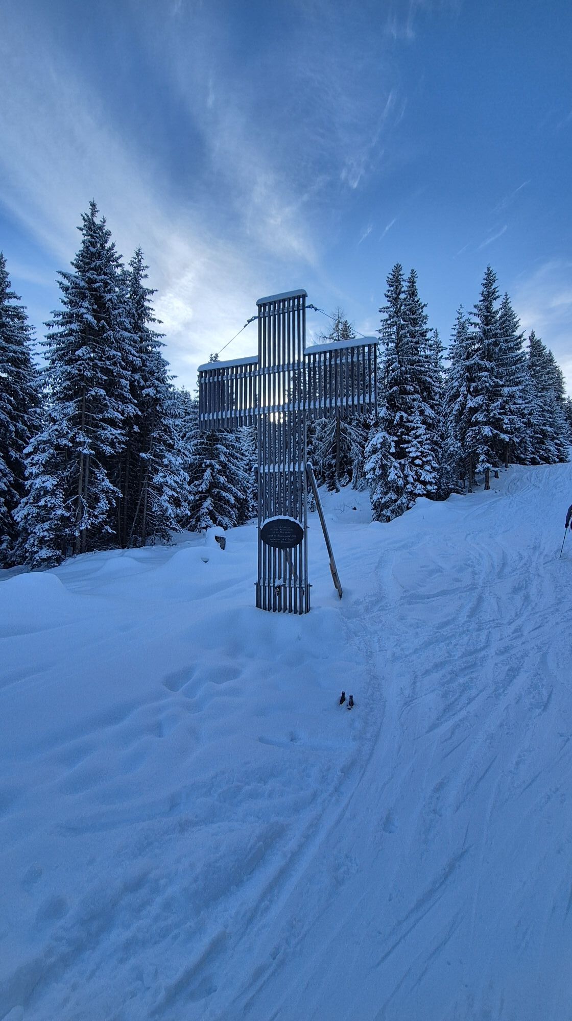
Birgitzköpflhaus
light
Ski tour
4,18
km
Kehre 4
(1.356 m)
Corridor/terrain
0,3 km
Hüttenboden
(1.602 m)
Corridor/terrain
1,6 km
Birgitzer Alm
(1.808 m)
Shelter
2,6 km
Birgitzköpfl
(1.980 m)
Summit
3,5 km
Birgitzköpflhaus
(2.035 m)
Restaurant
4,2 km


Valuations
5
(2)
4
(2)
3
(2)
2
(0)
1
(1)
Webcams of the tour
Hoadl-Haus
Panoramasee
Mutterer Alm
Panoramasee
Panoramasee
Panoramasee
Panoramasee
Karleiten
Scheibenweg/ Schanzlin
Axamer Lizum - Birgitzköpfl
Axamer Lizum - Hoadl
Hoadl-Haus
Hoadl-Haus
Hoadl-Haus
Hoadl-Haus
Hoadl-Haus
Karleiten
Karleiten
Karleiten
Karleiten
Karleiten
Mutterer Alm
Mittelstation Froneben
Mutterer Alm
Mutterer Alm
Popular tours in the neighbourhood
- 4,2
"Königstour" über die Gipfel
Hiking4,52 km - 4,7
Patscherkofl
mediumHiking18,5 km - 5,0
Ehnbachklamm und Kaiser MaxGrotte, Zirl, Tirol/Österreich
heavyHigh tour6,30 km - 5,0
Reitherspitz
mediumHiking6,03 km - 4,0
Innsbruck/ Igls: Patscherkofel
Mountainbike14,1 km - 4,8
Seegrube
mediumHiking4,03 km - 4,5
Von der Kemater Alm zum Sonntagsköpfl
lightHiking9,20 km - 4,2
Patscherkofel
lightSki tour6,42 km - 4,2
Vordere Brandjochspitze, Tirol/Österreich
mediumHiking15,2 km - 4,8
Patscherkofel Gipfelrunde mit Zirbenweg
lightHiking6,52 km

Hiking & Tracking

Over 550.000 tour suggestions, detailed maps and an intuitive route planner make the app a must-have for all nature enthusiasts.

Don't miss out on offers and inspiration for your next holiday
Subscribe to the newsletter
Error
An error has occurred. Please try again.Thank you for your registration
Your e-mail address has been added to the mailing list.
Tours throughout Europe
Austria Switzerland Germany Italy Slovenia France Netherlands Belgium Poland Liechtenstein Czechia Slovakia Spain Croatia Bosnia and Herzegovina Luxembourg Andorra Portugal Iceland United Kingdom Ireland Greece Albania North Macedonia Malta Norway Montenegro Moldova Kosovo Hungary San Marino Romania Estonia Latvia Belarus Cyprus Lithuania Serbia Bulgaria Monaco Denmark Sweden Finland