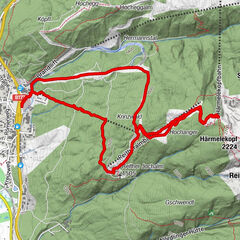

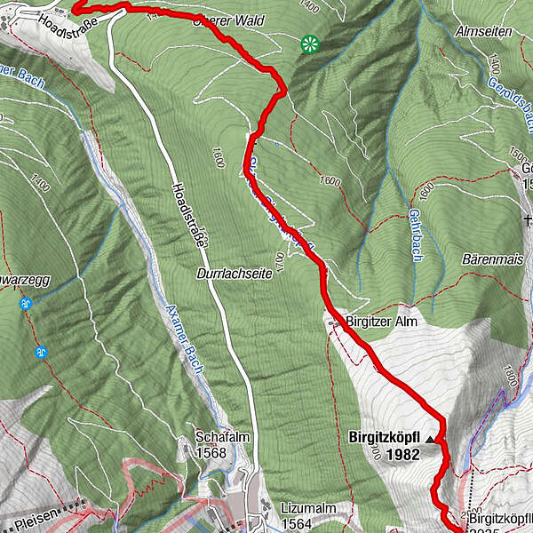
Tour data
4.18km
1,323
- 2,029m
707hm
2hm
01:33h
- Brief description
-
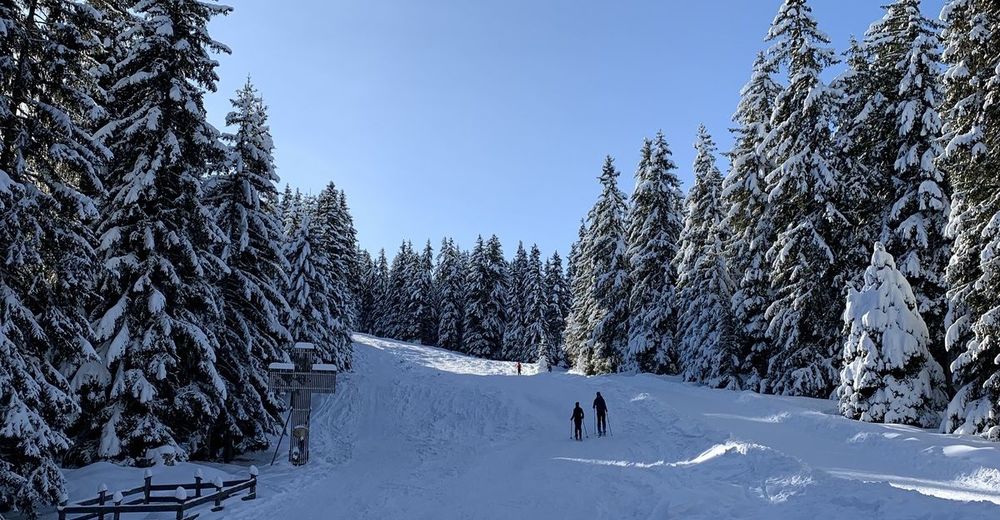
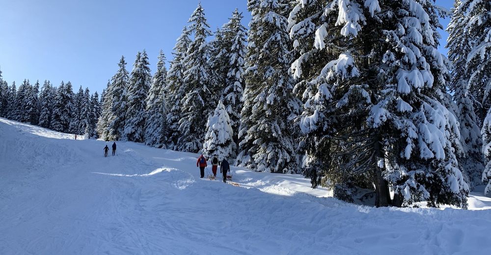
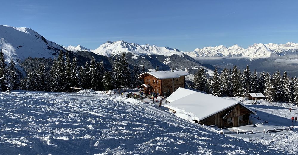
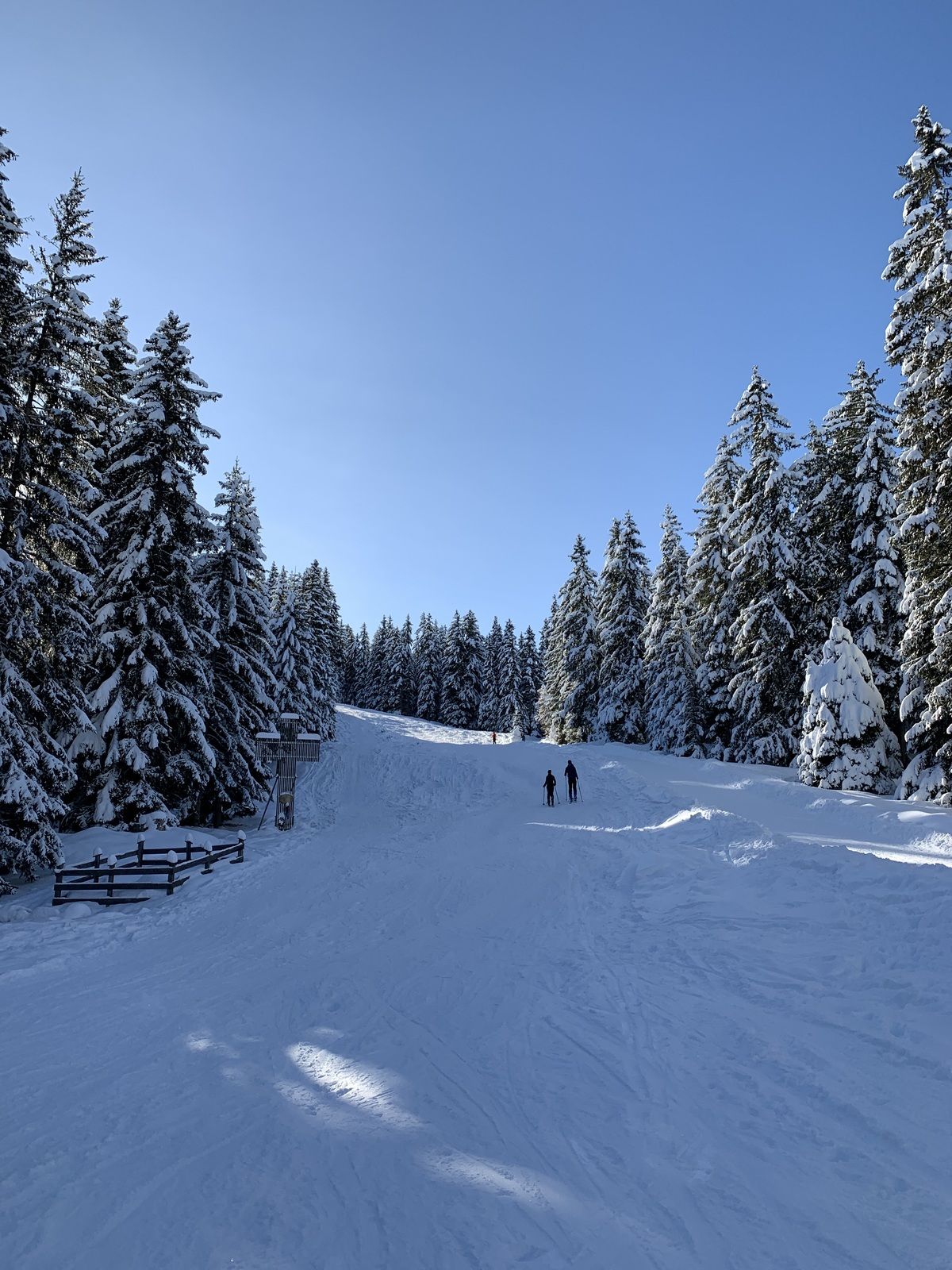
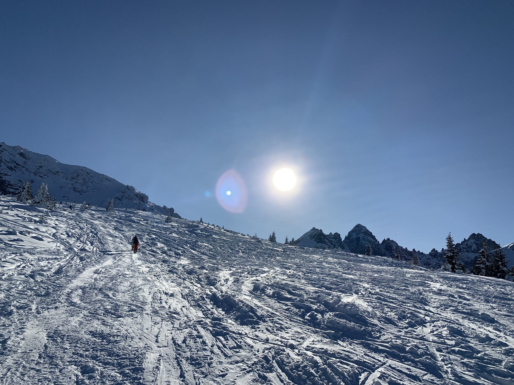
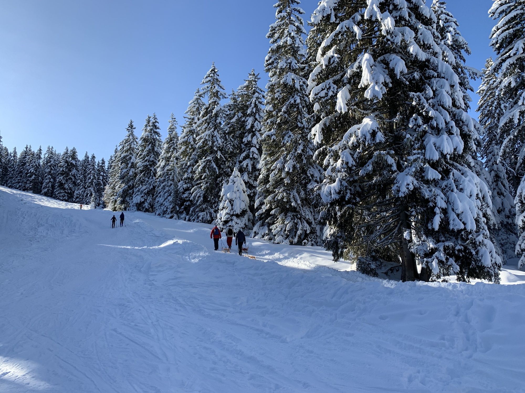
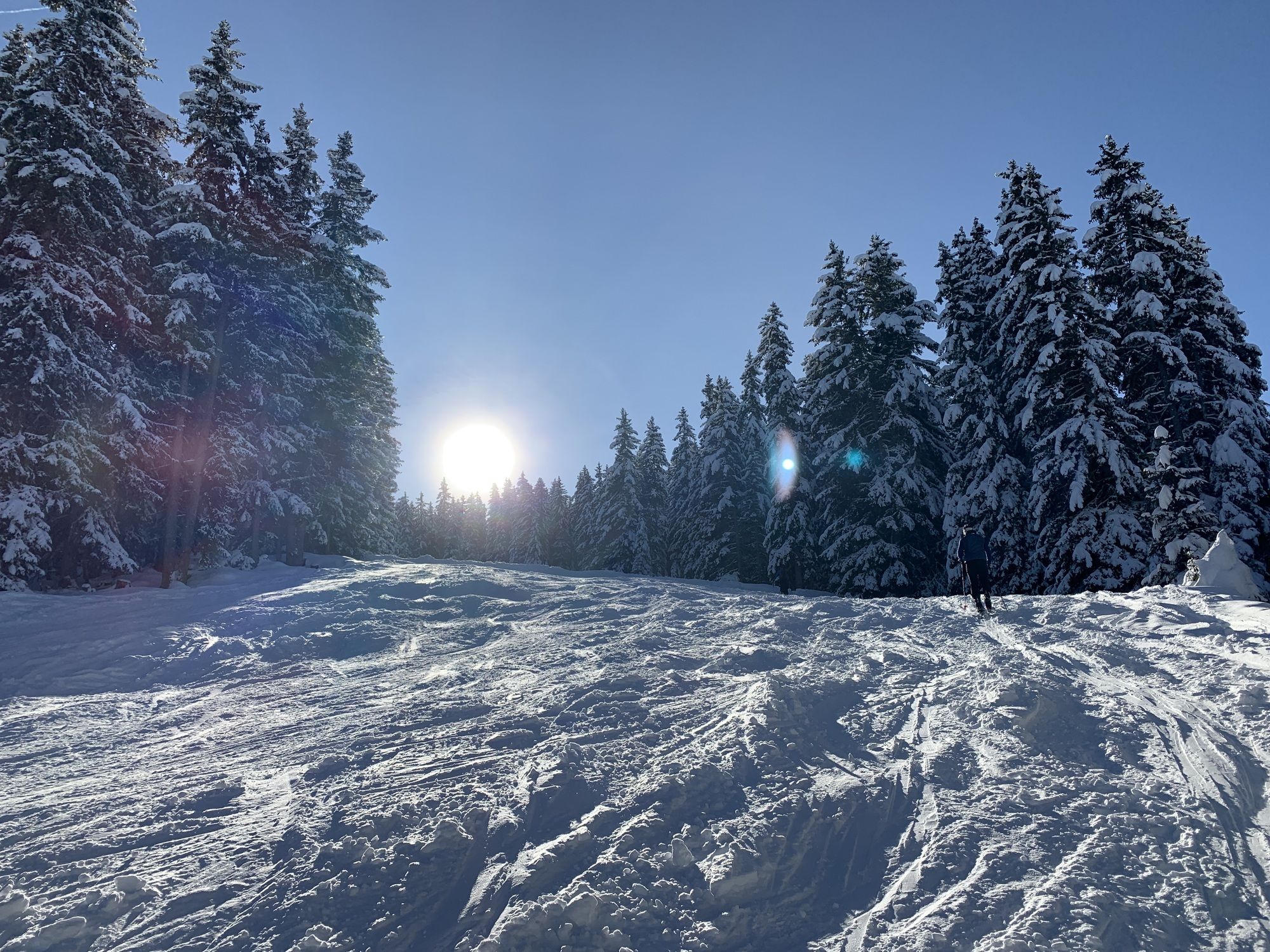
über Birgitzer Alm. !
- Difficulty
-
easy
- Rating
-
- Route
-
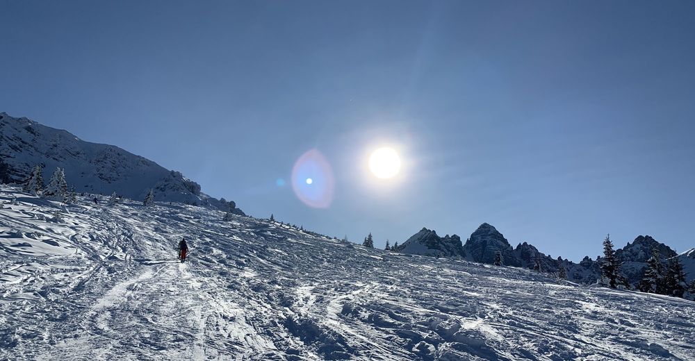
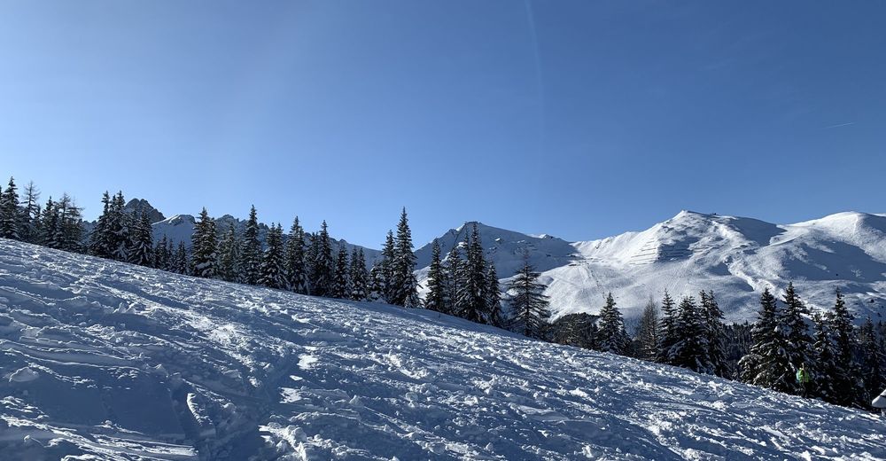
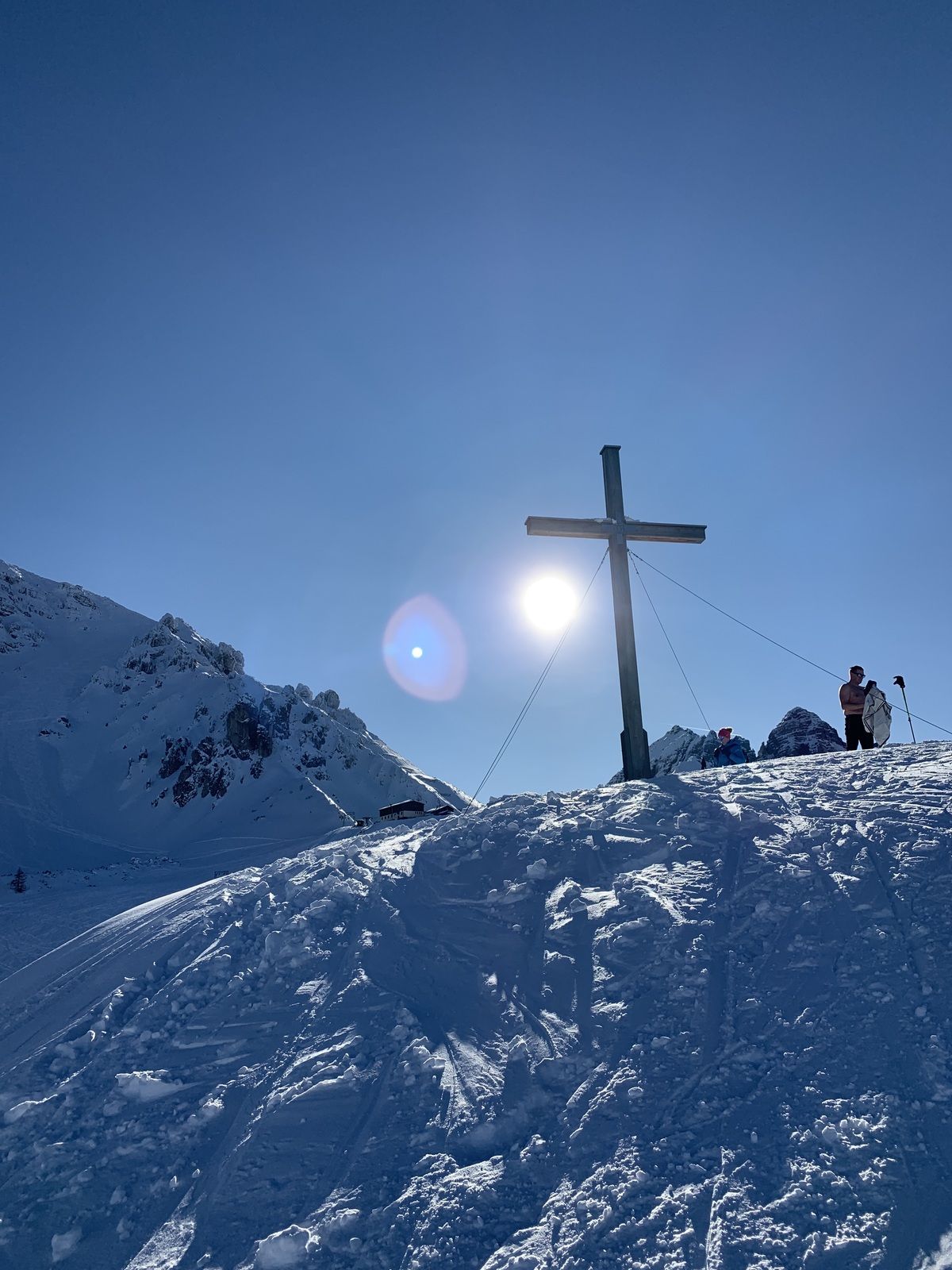
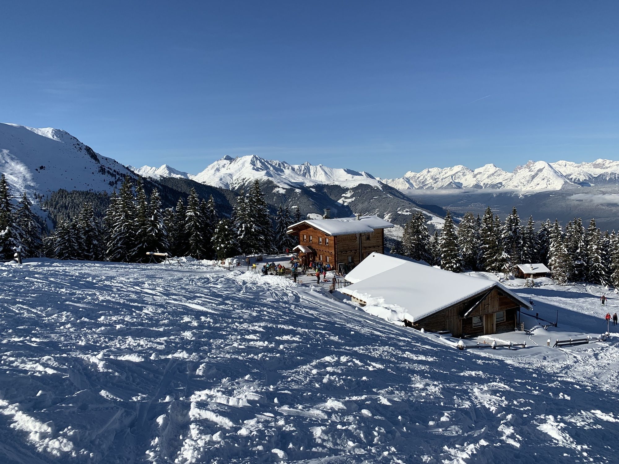
Kehre 4 (1,356 m)0.3 kmBirgitzer Alm (1,808 m)2.6 kmBirgitzköpfl (1,980 m)3.5 km
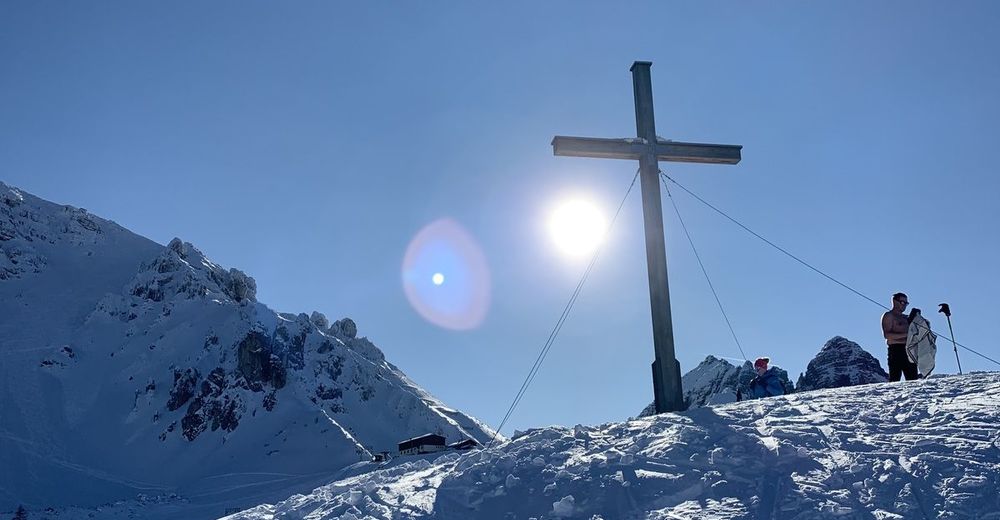
- Highest point
- 2,029 m

GPS Downloads


Other tours in the regions
-
Stubaital
165
-
Mutters - Muttereralm
28