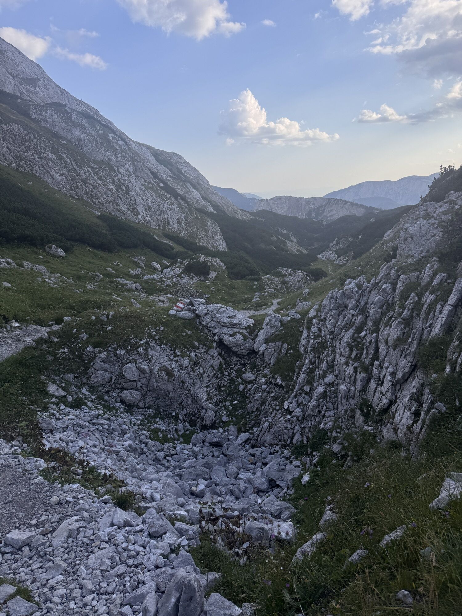
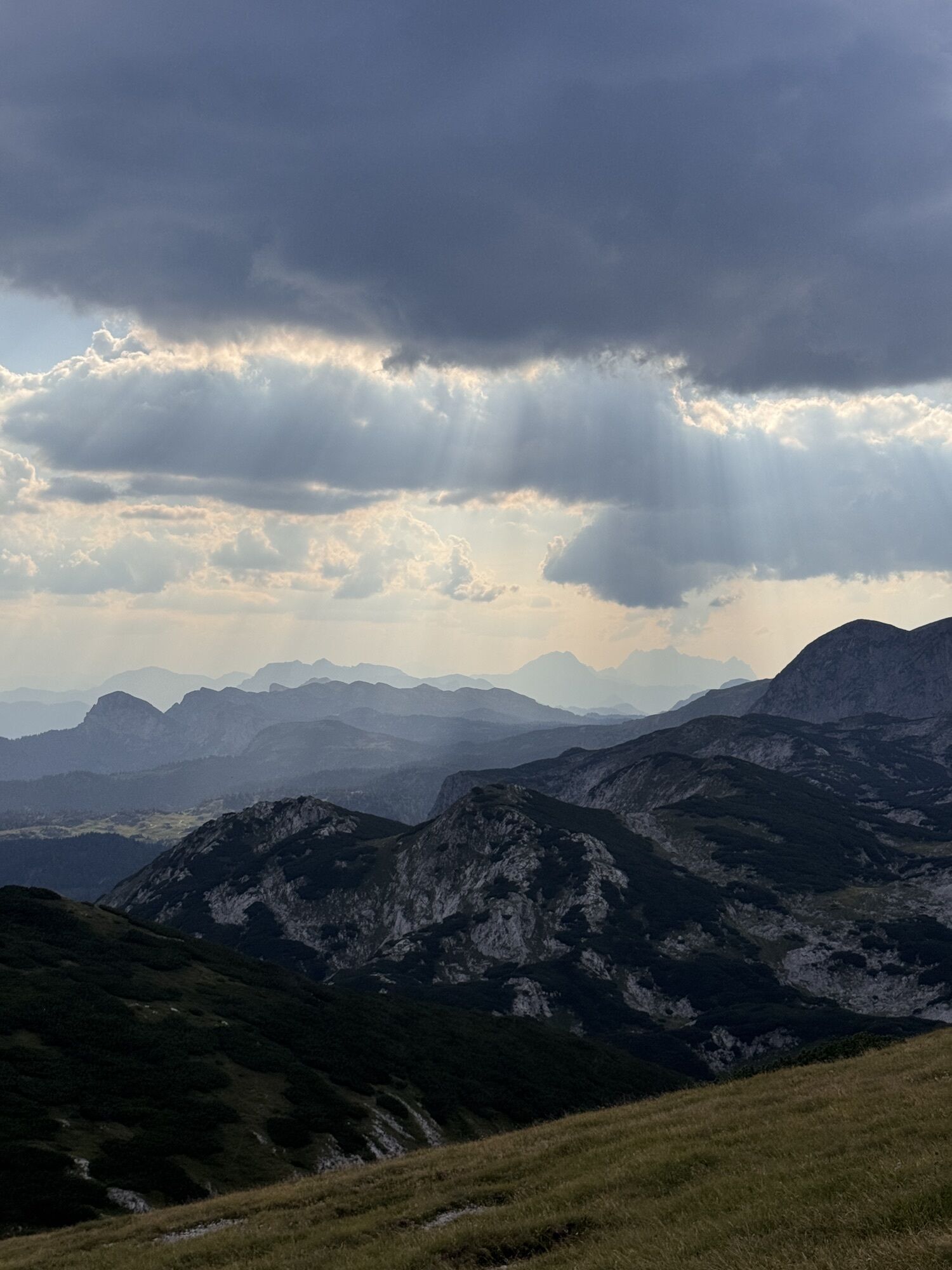
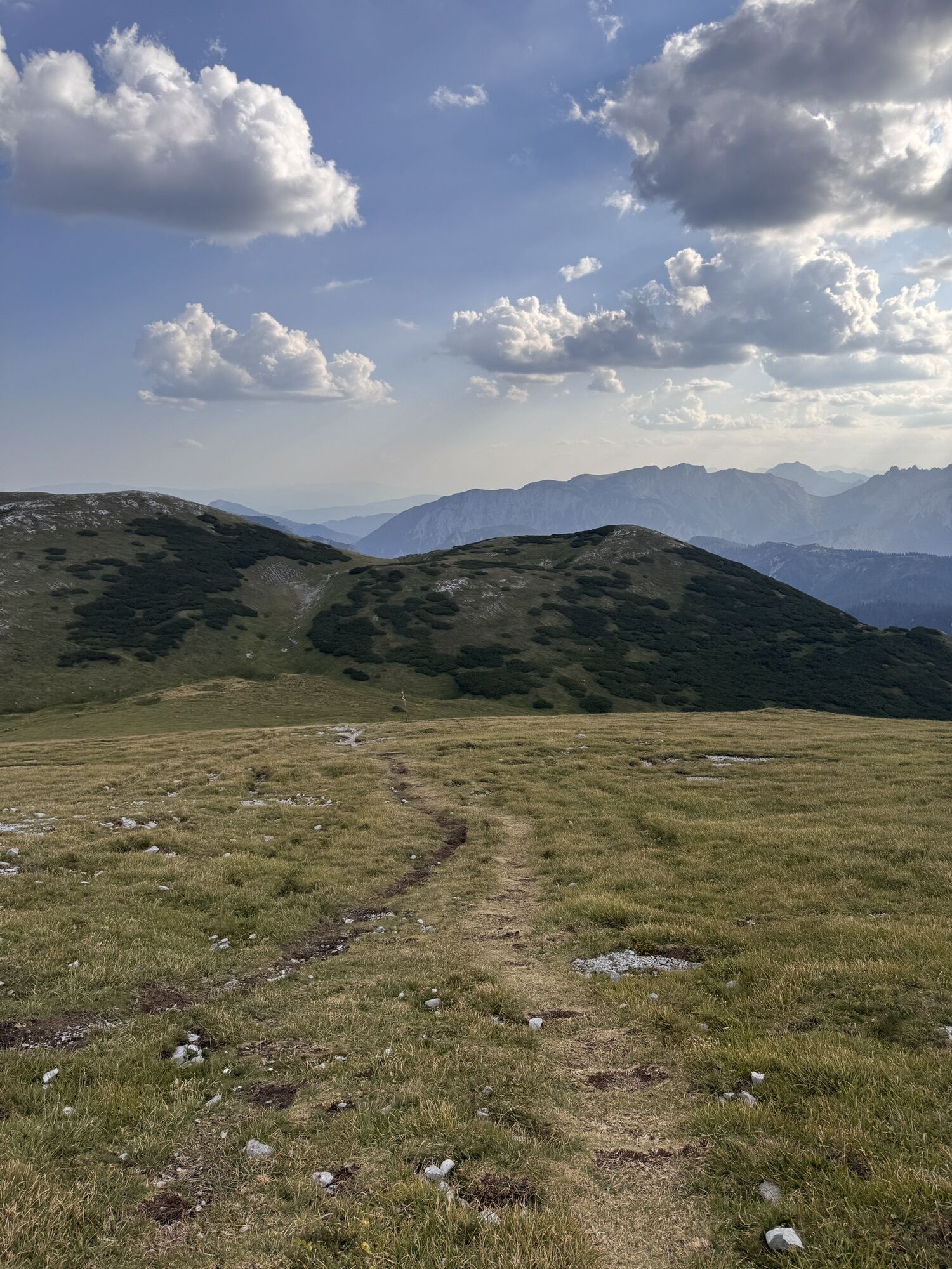
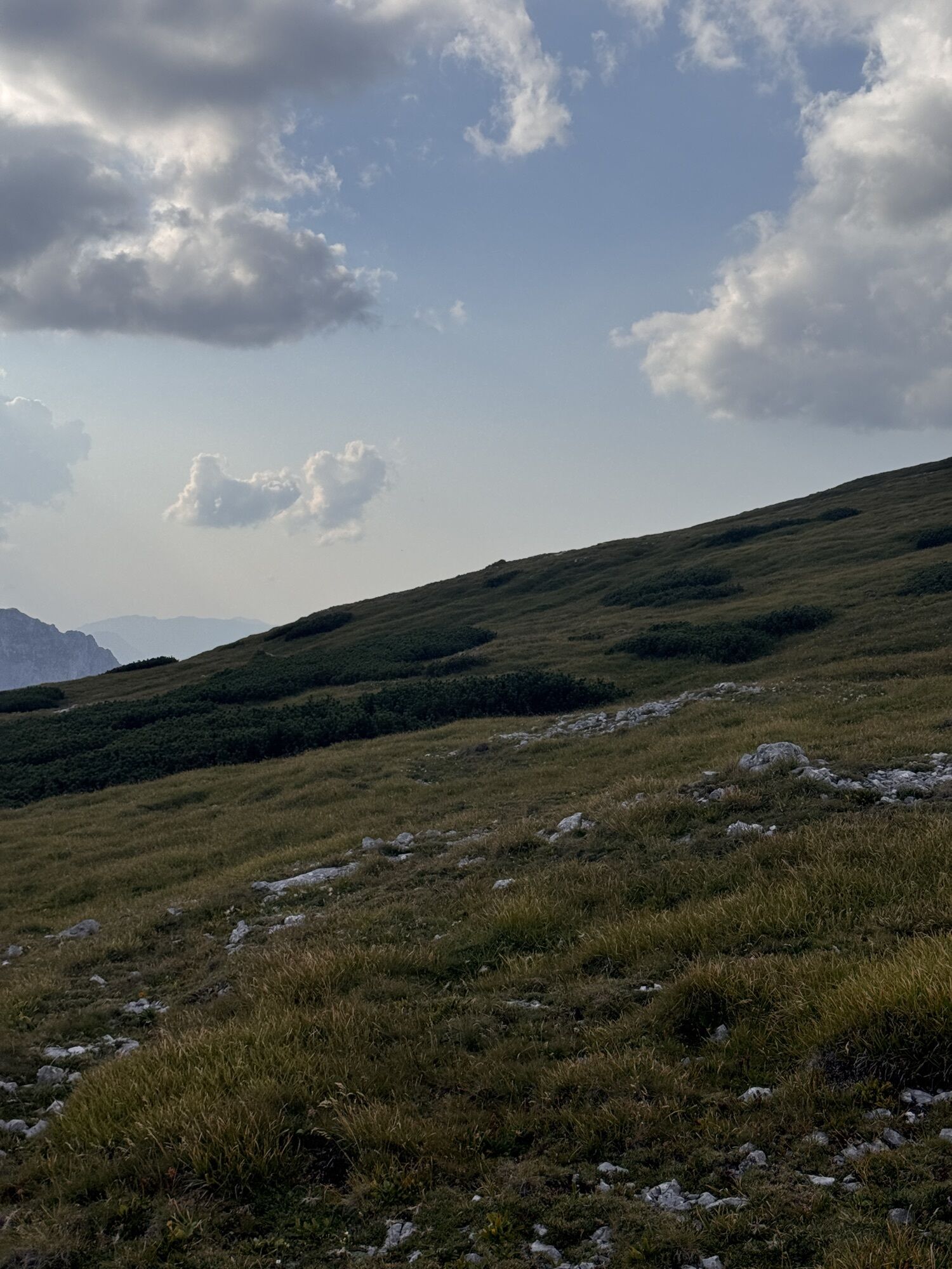
Bodenbauer - Hochschwab - G`hackte - Häuselalm
medium
Navigate
Navigate
Get this tour on your mobile
Bodenbauer - Hochschwab - G`hackte - Häuselalm
medium
Hiking
18,70
km
Scan the QR code and start navigation in the bergfex app

Hiking & Tracking


Distance
18,70
km
Duration
08:00
h
Ascent
1.355
m
Sea level
880 -
2.242
m
Track download
Bodenbauer - Hochschwab - G`hackte - Häuselalm
medium
Hiking
18,70
km


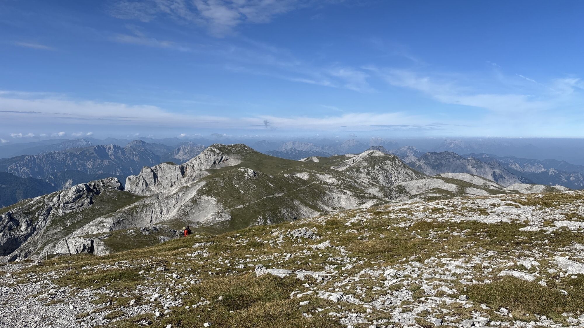
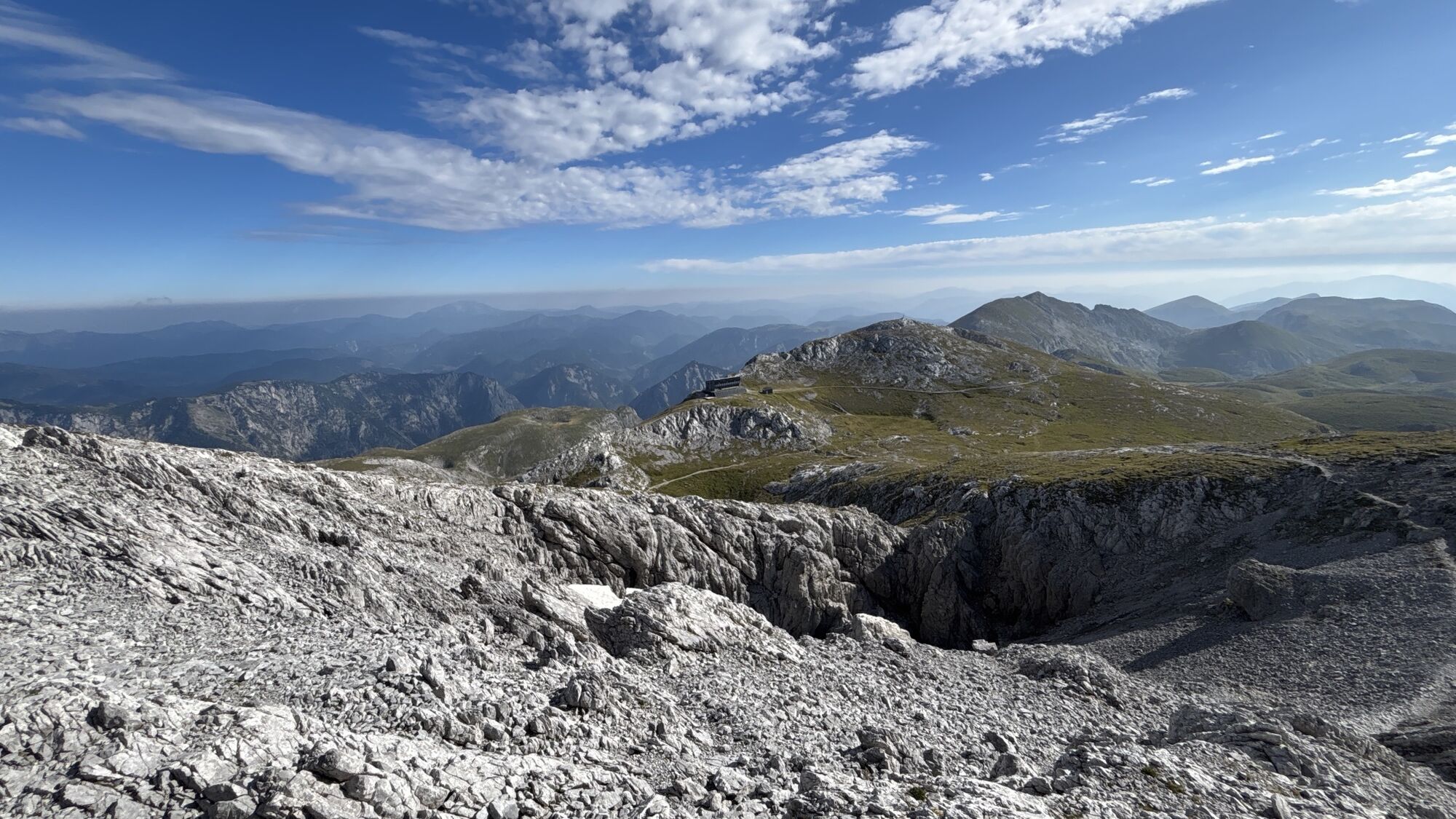
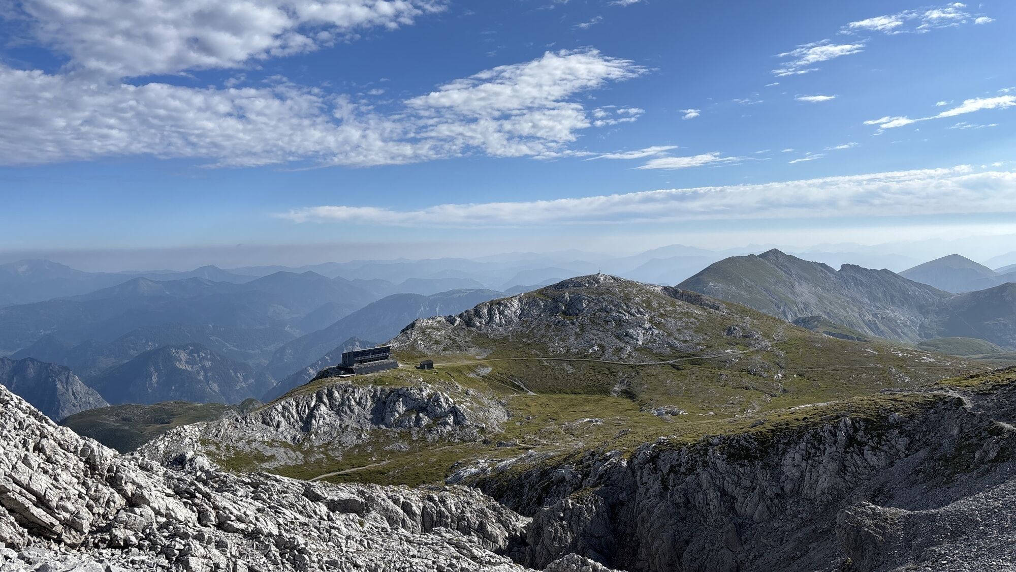
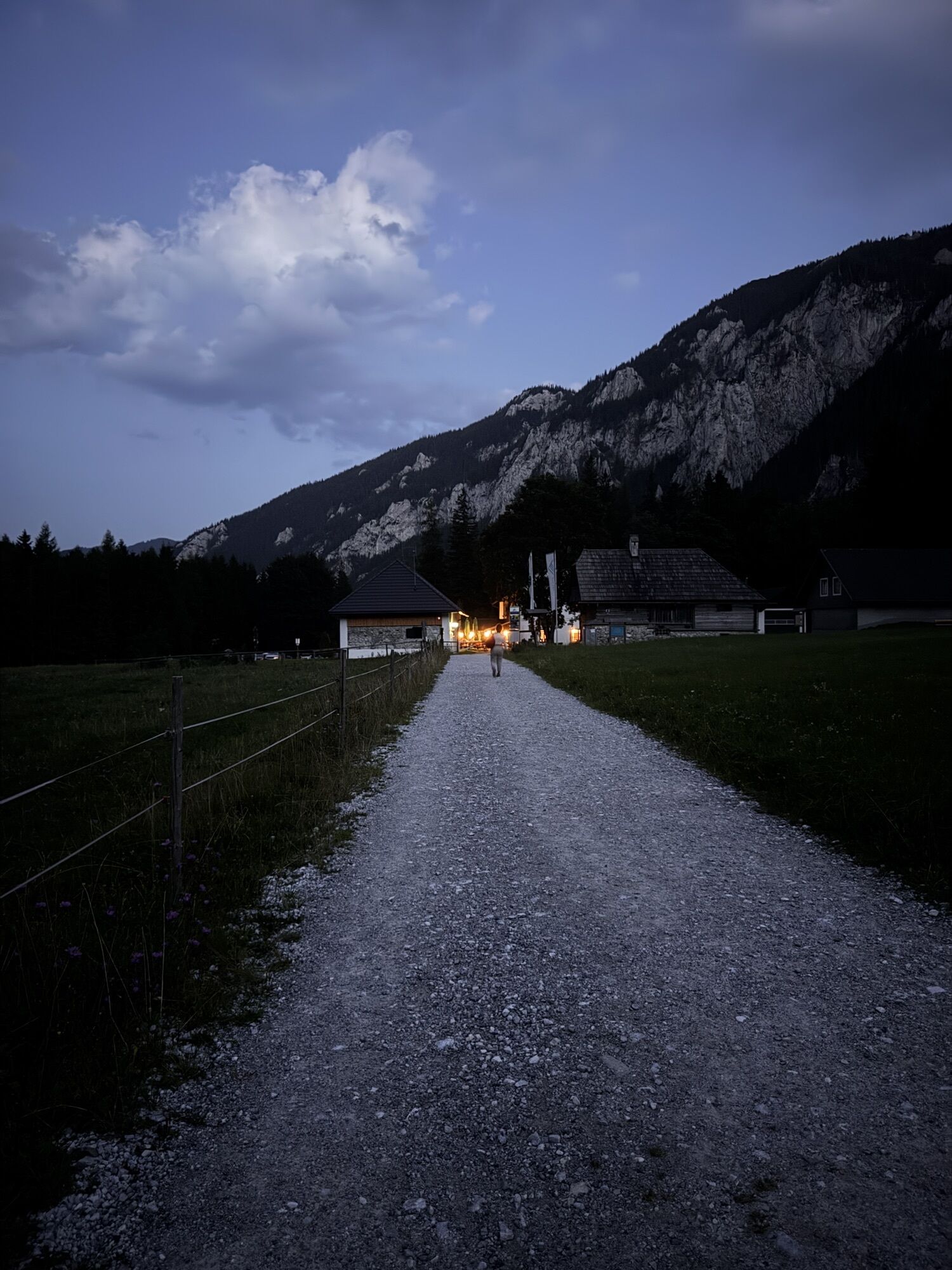
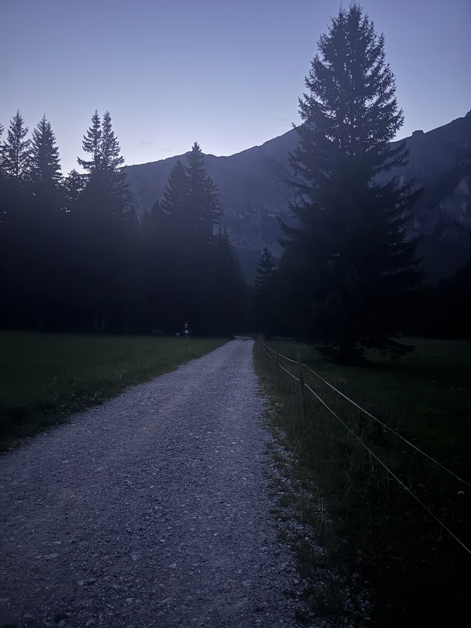
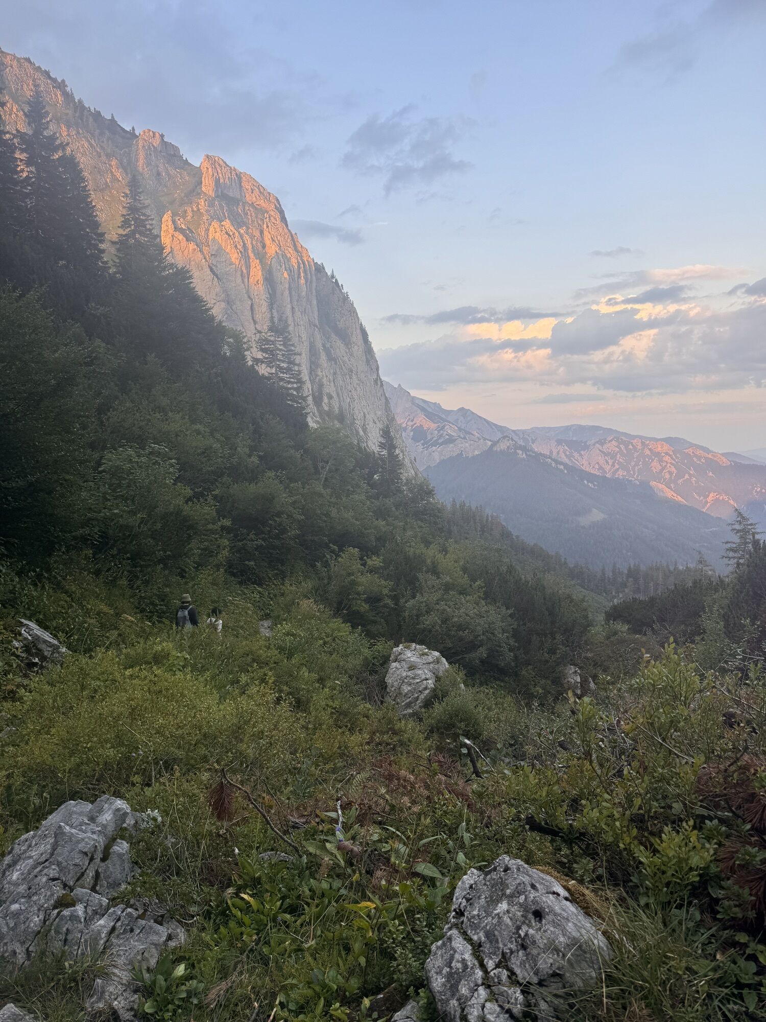
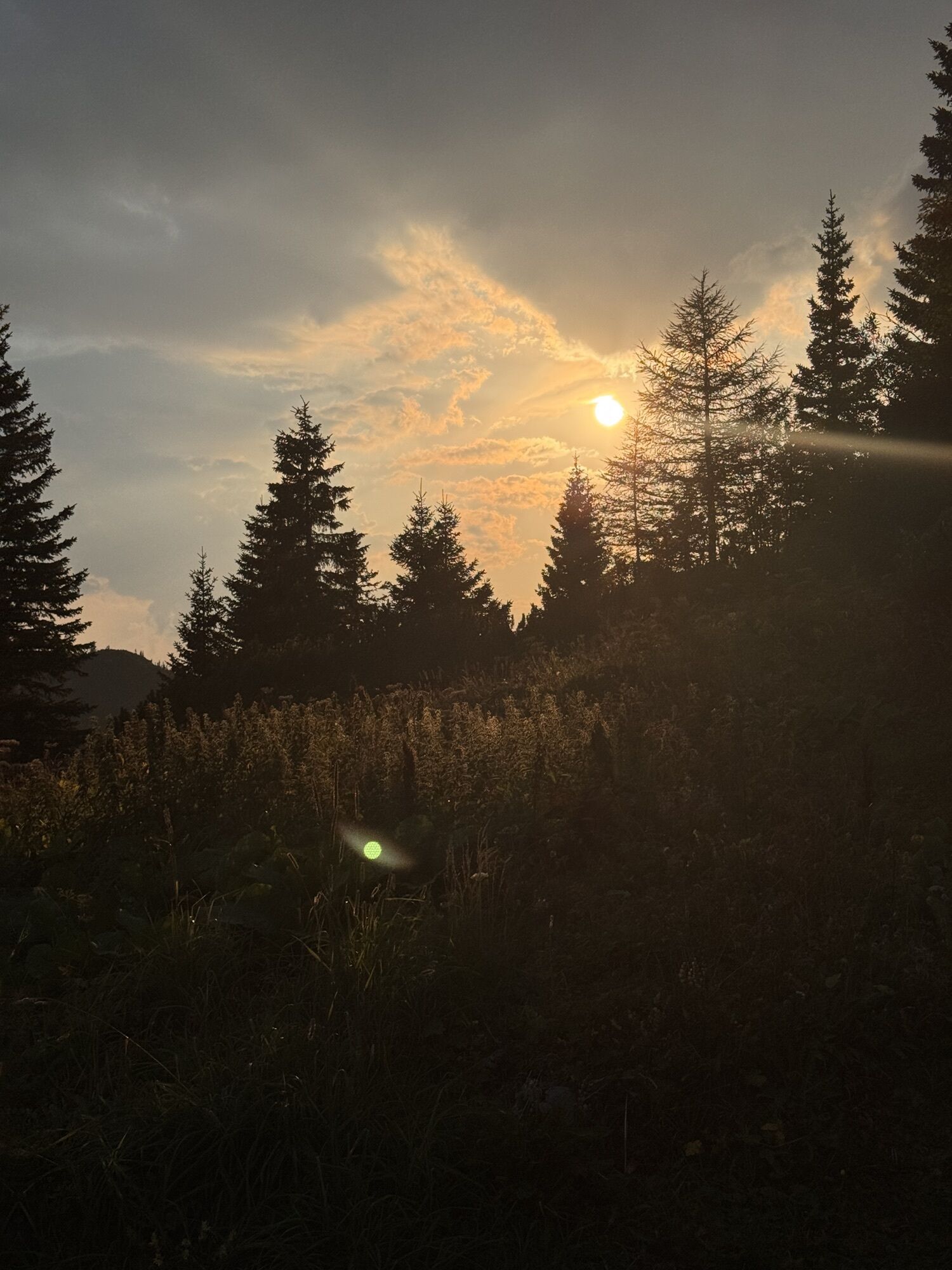
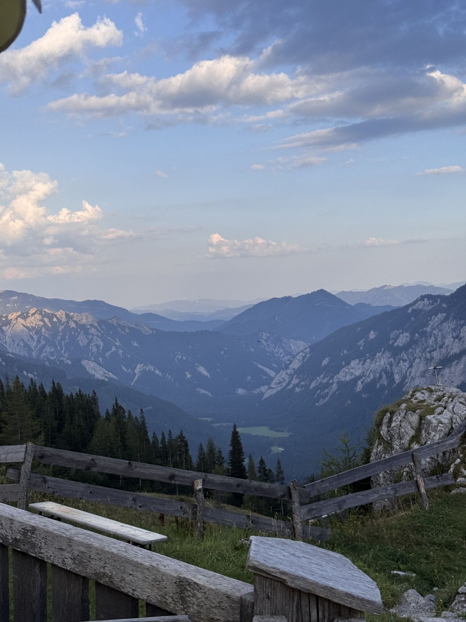
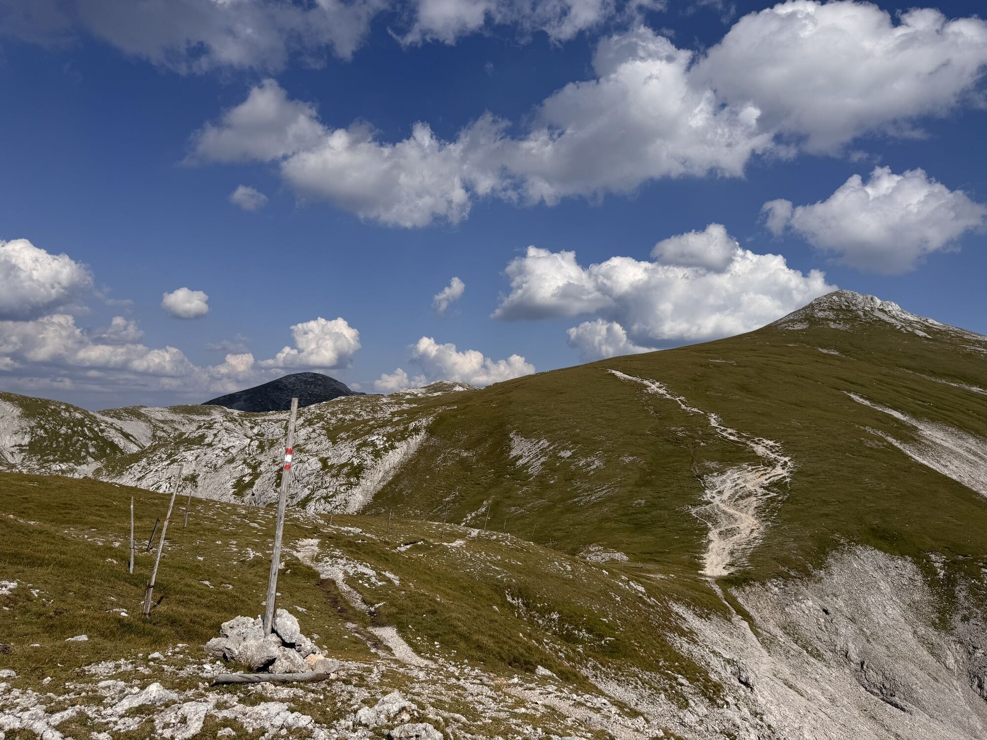
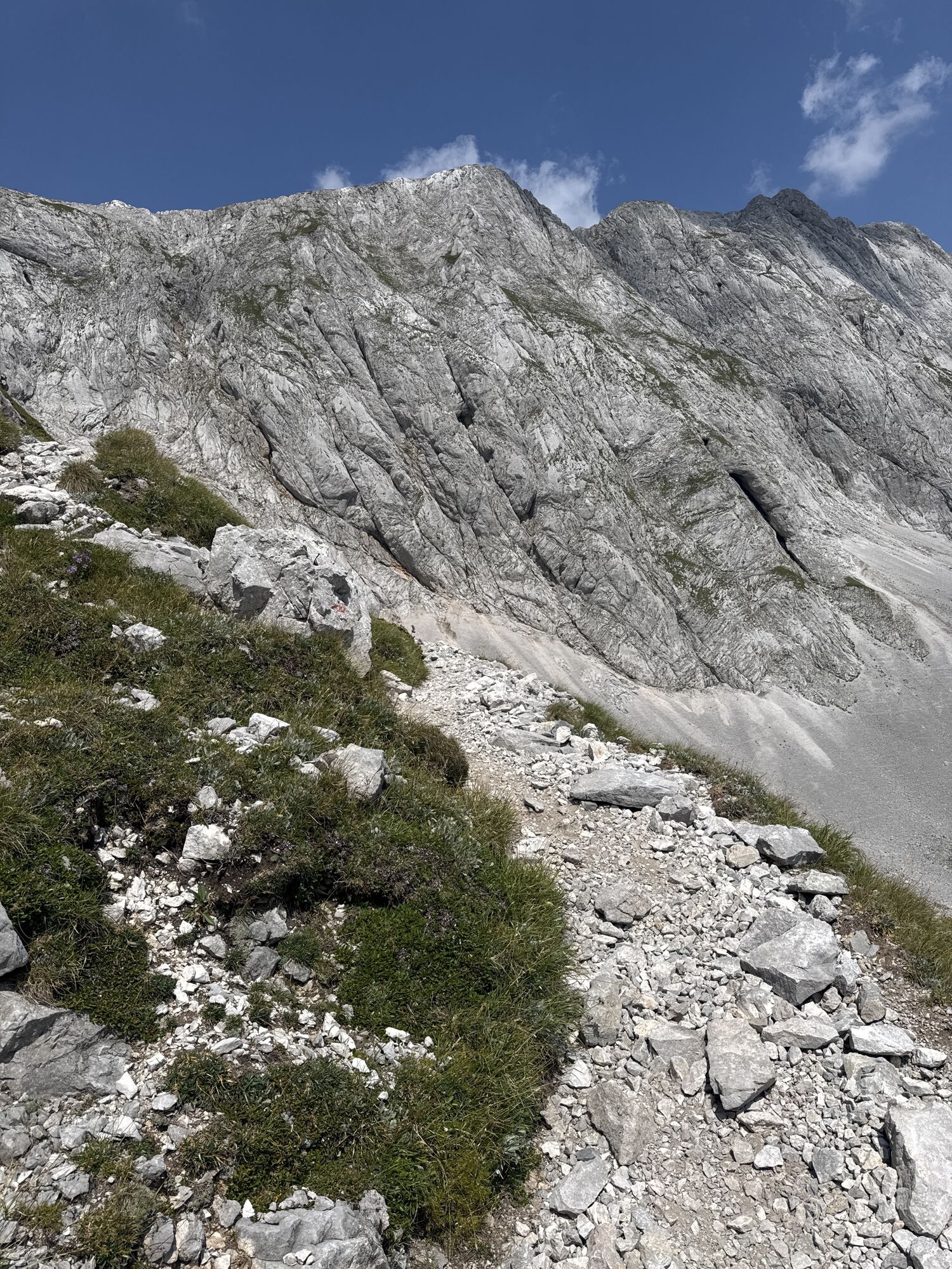
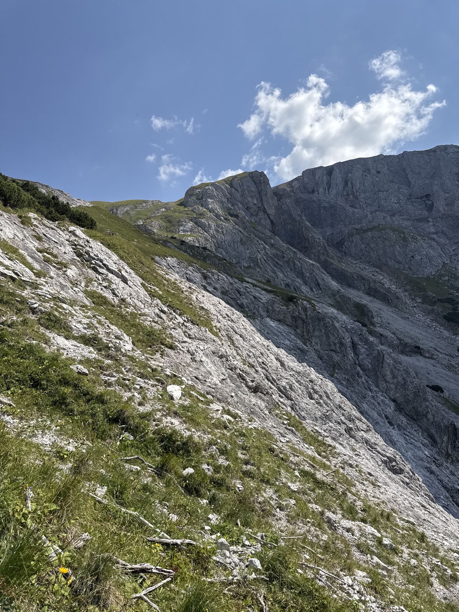
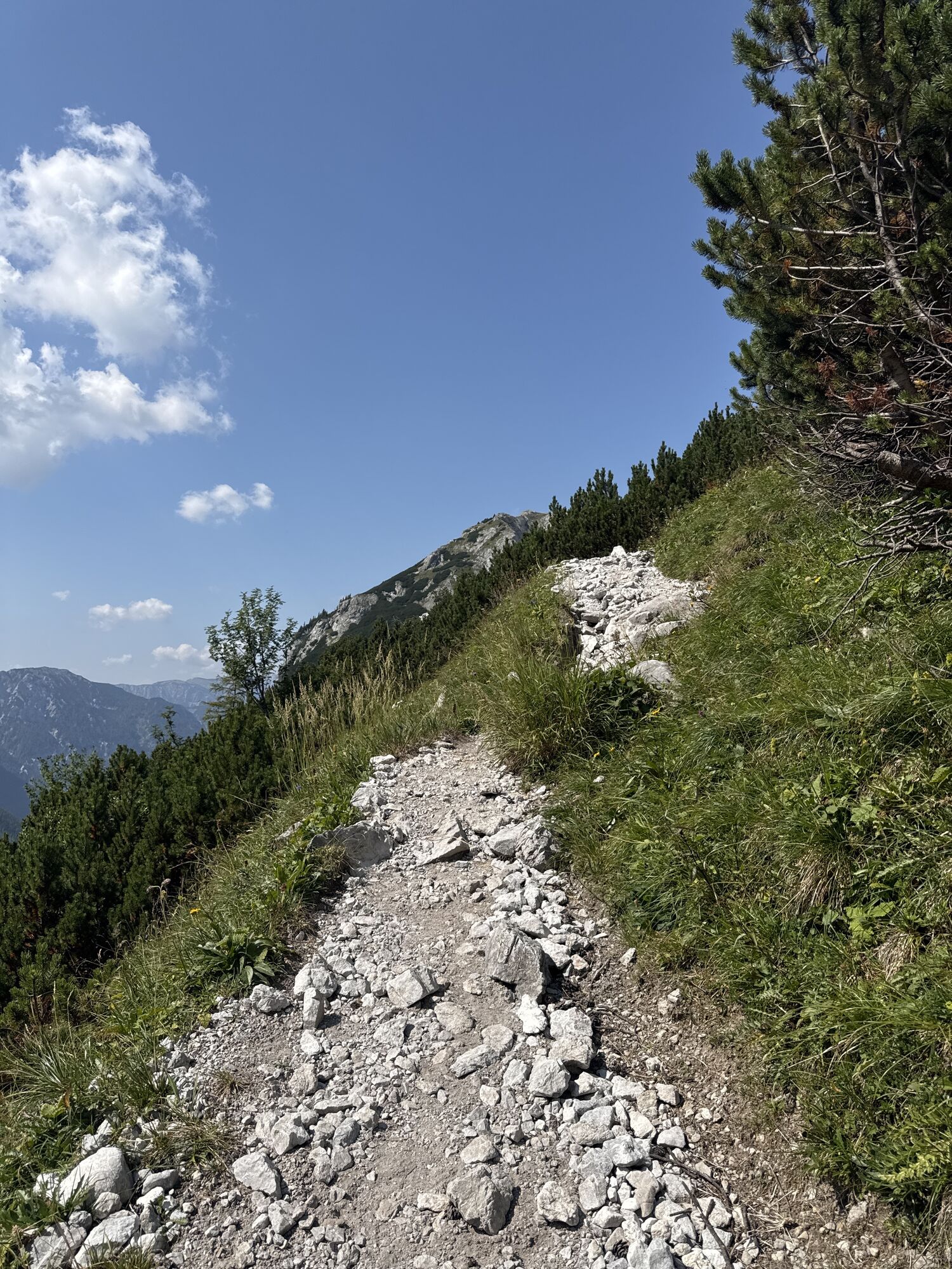
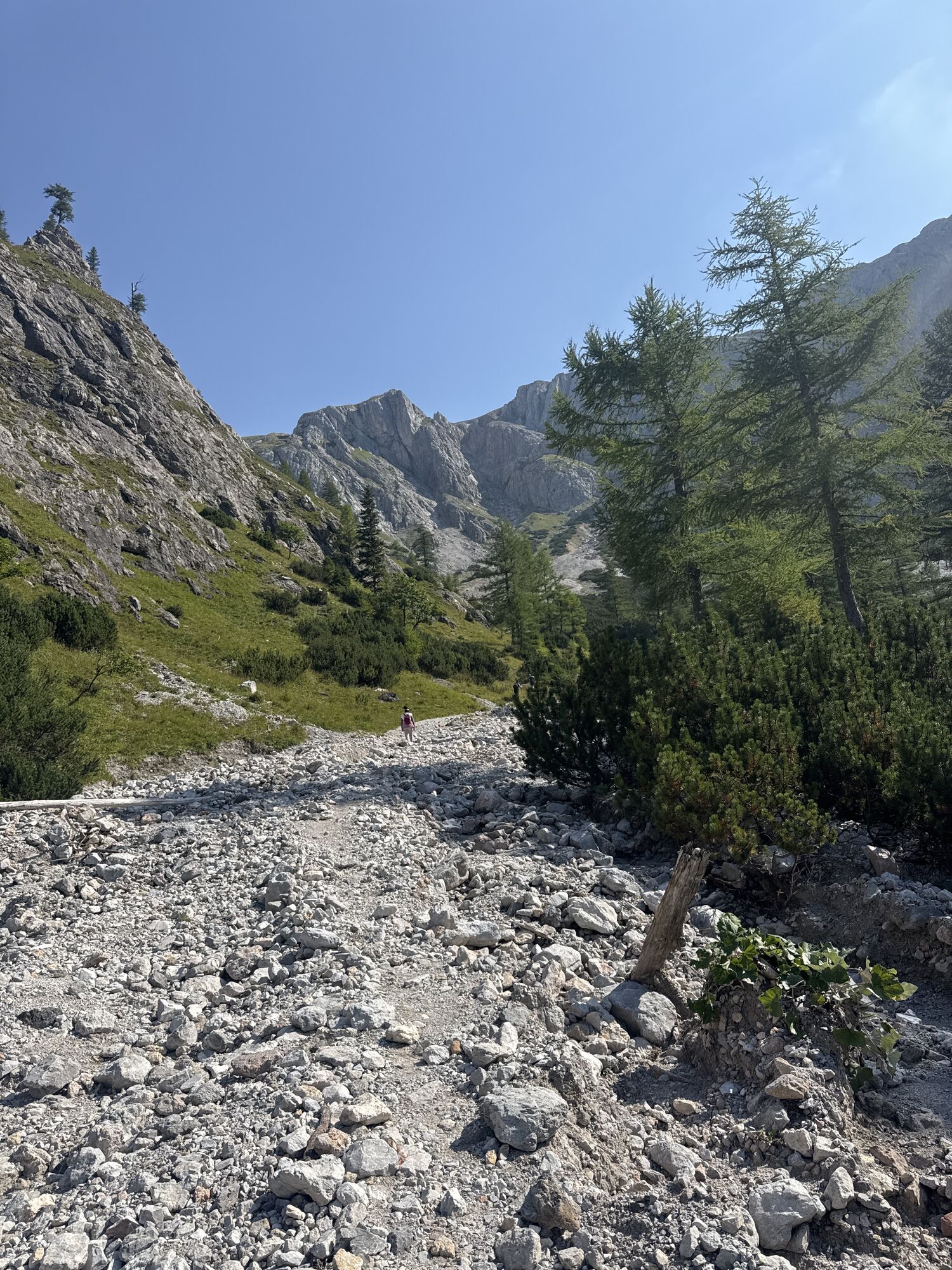
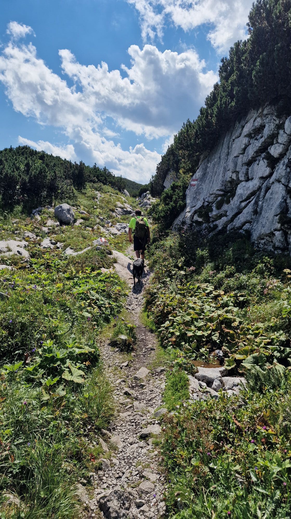
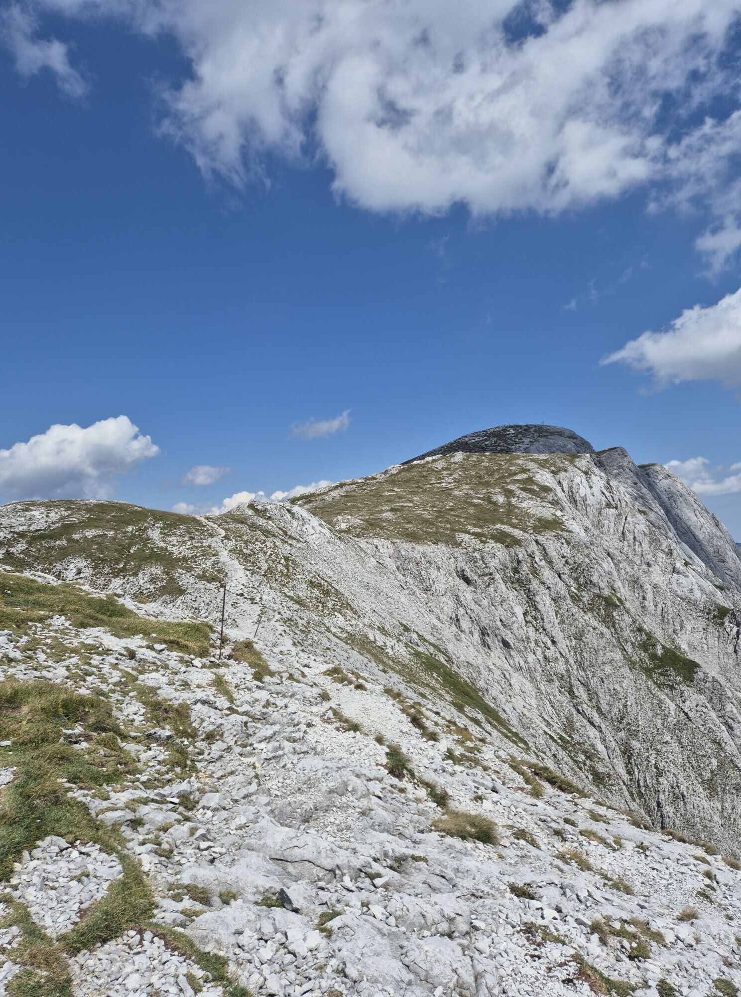
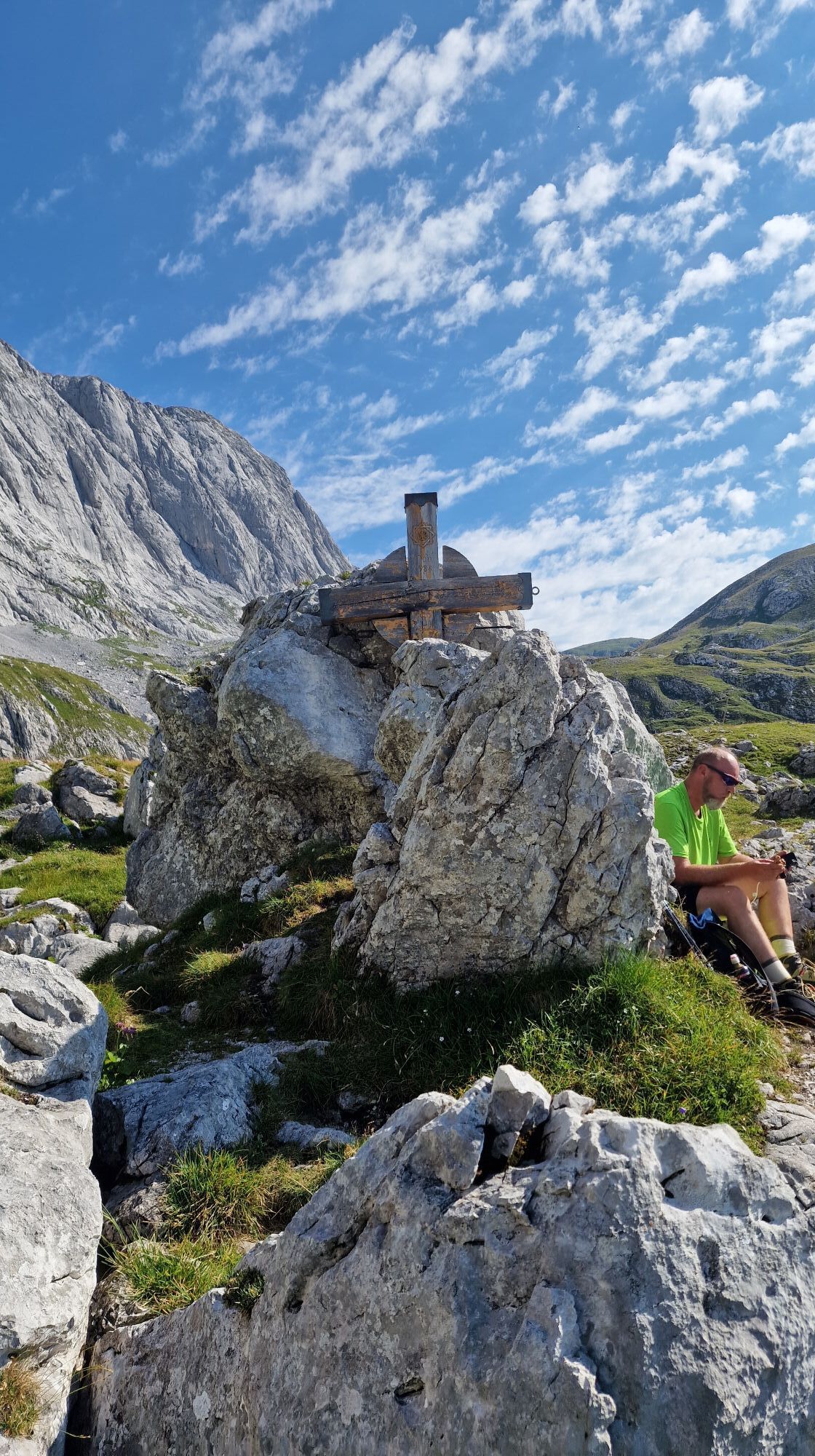
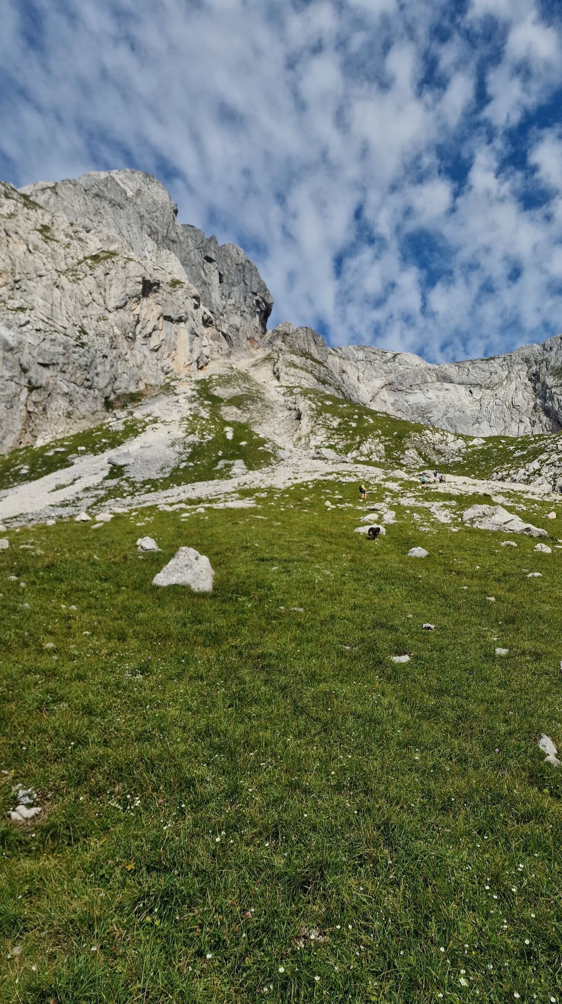
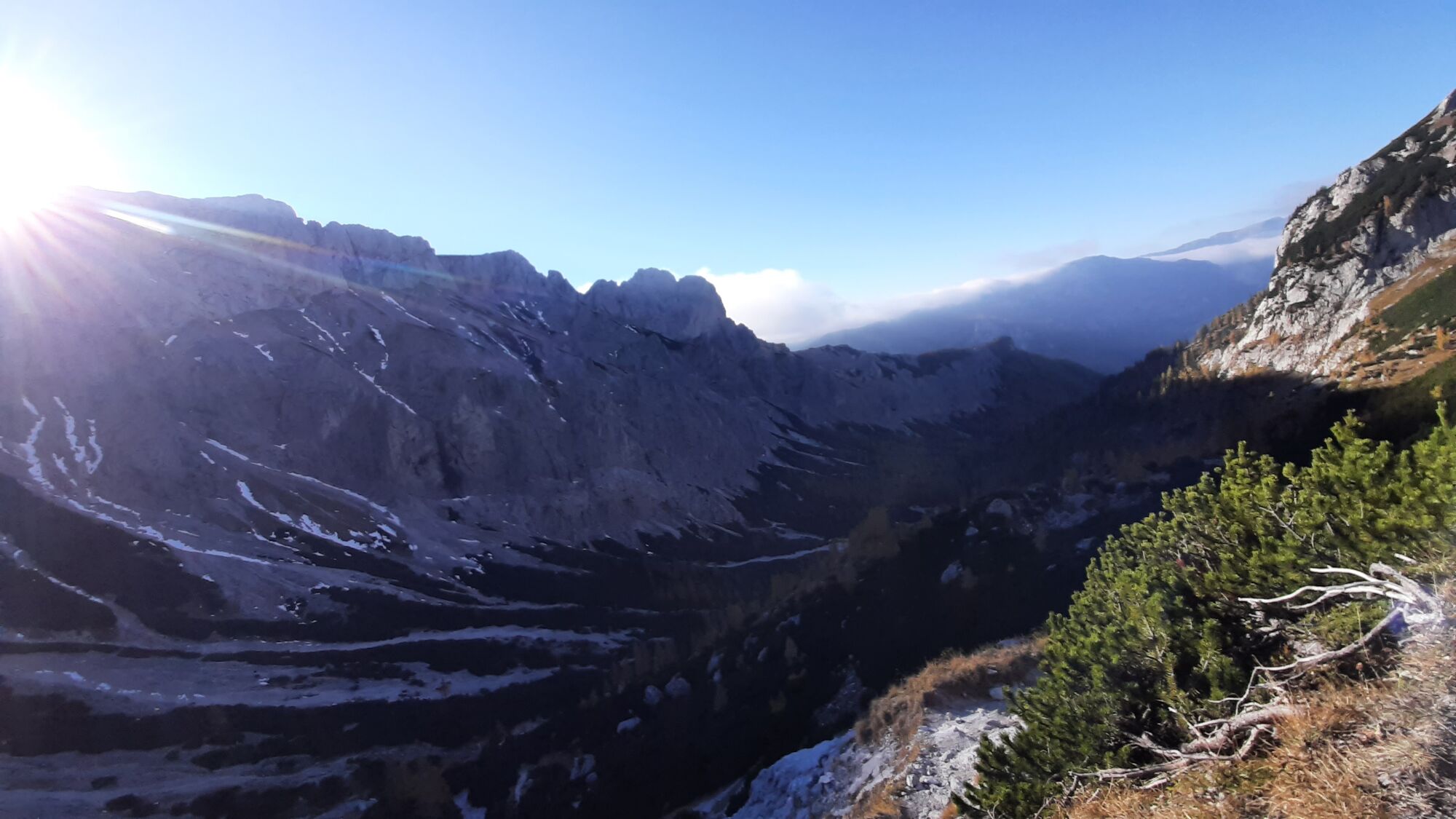
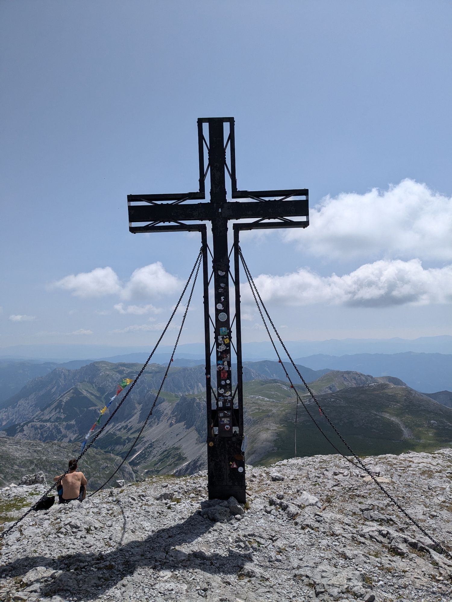
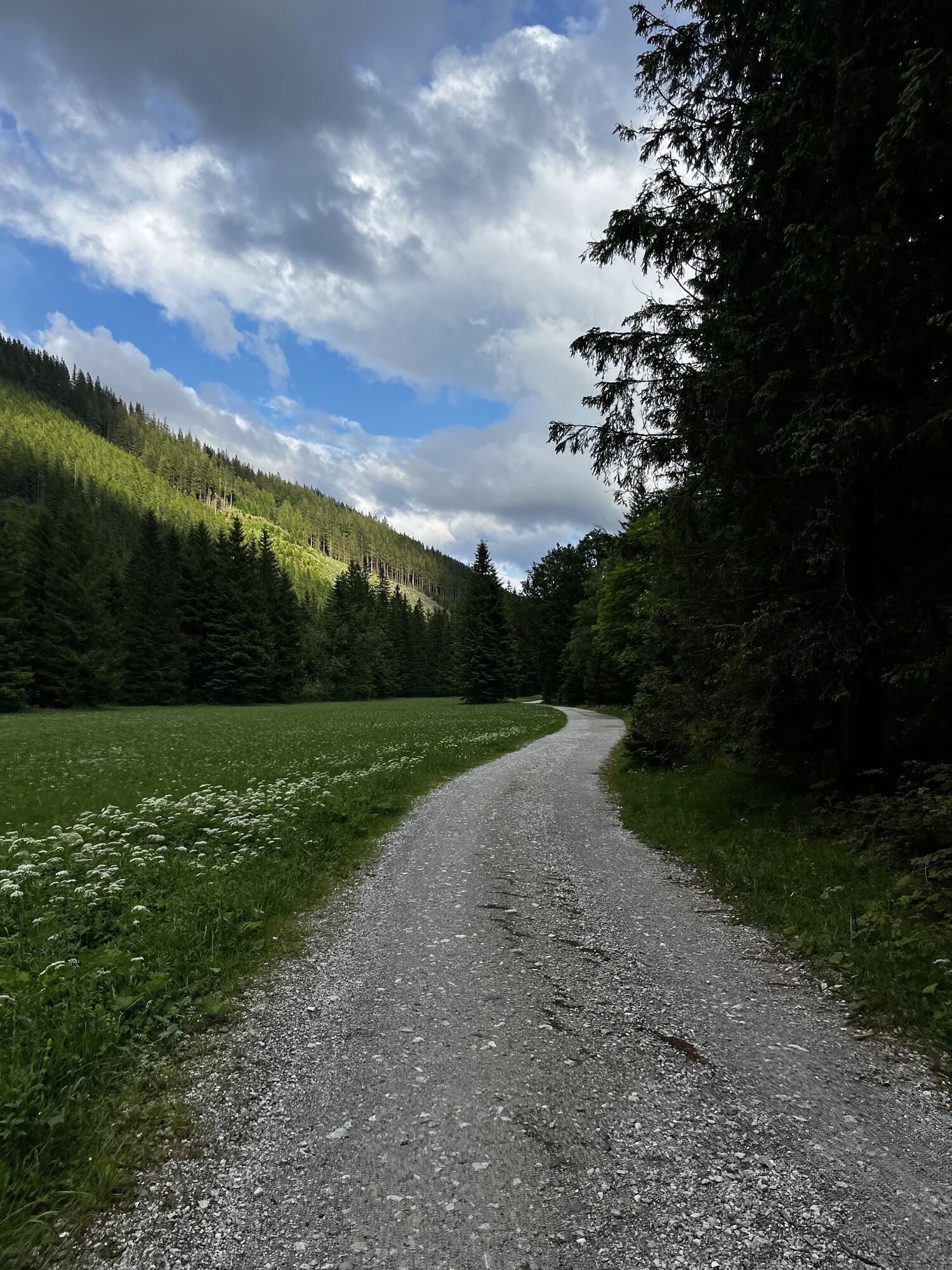
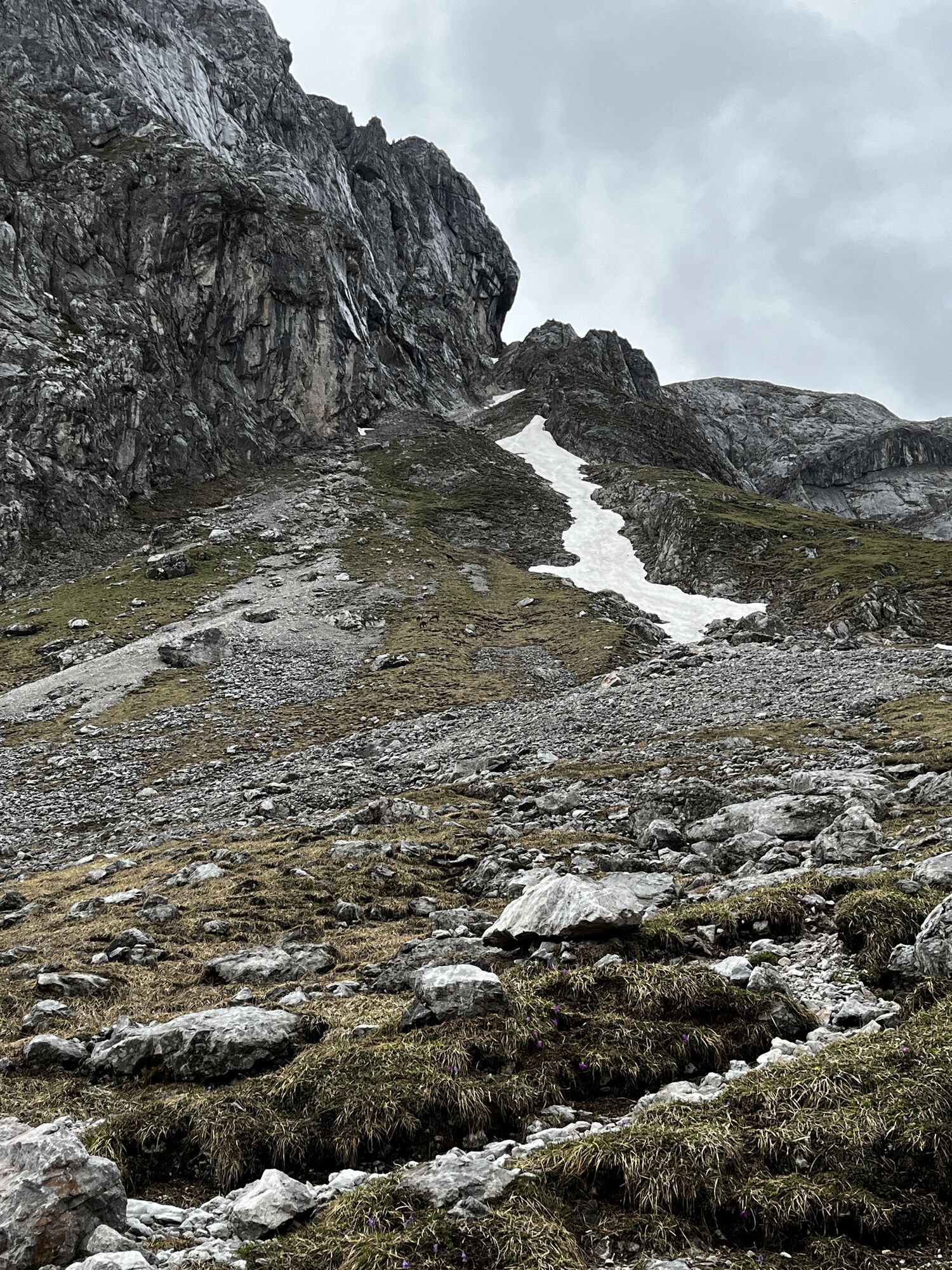
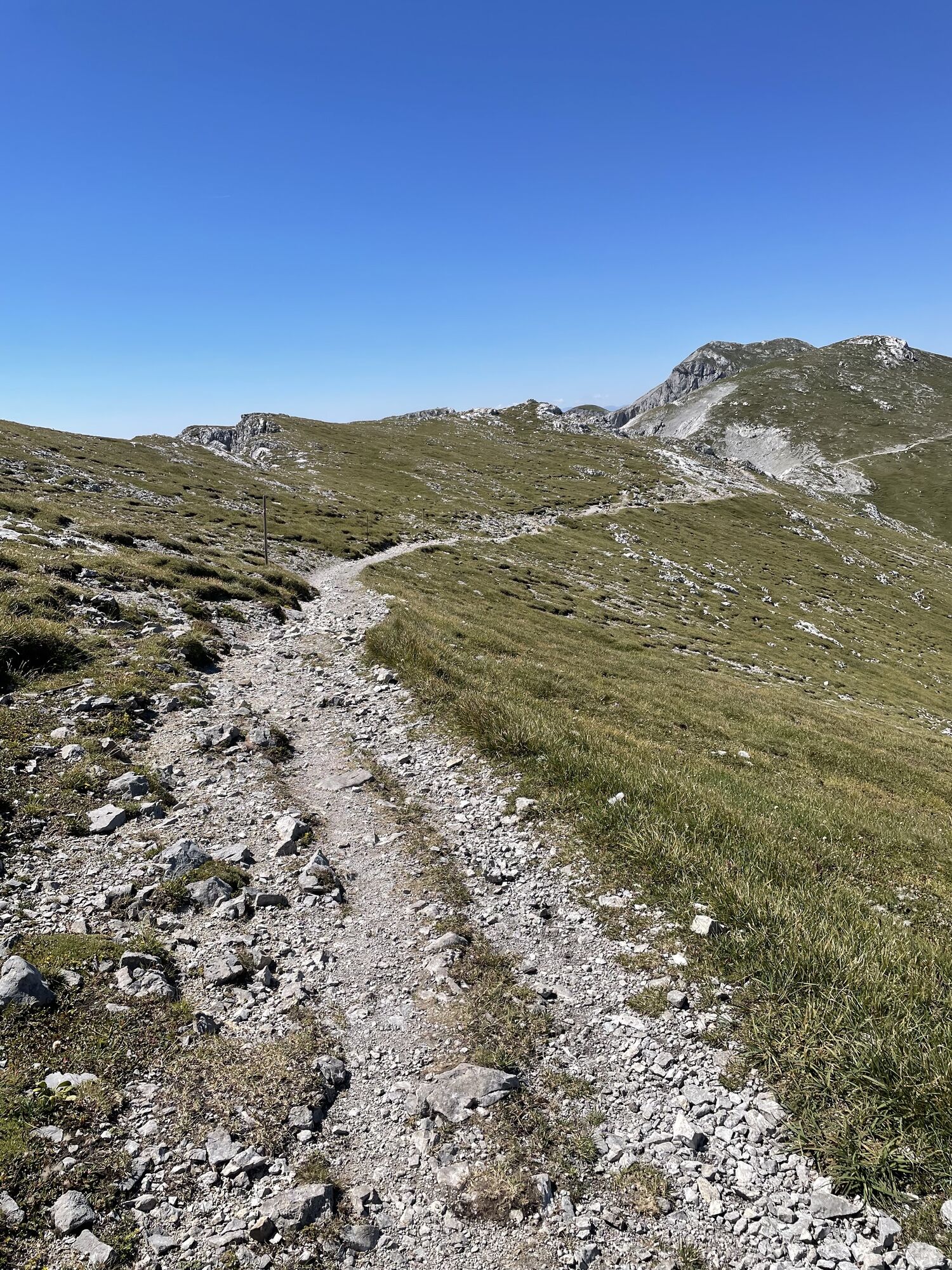
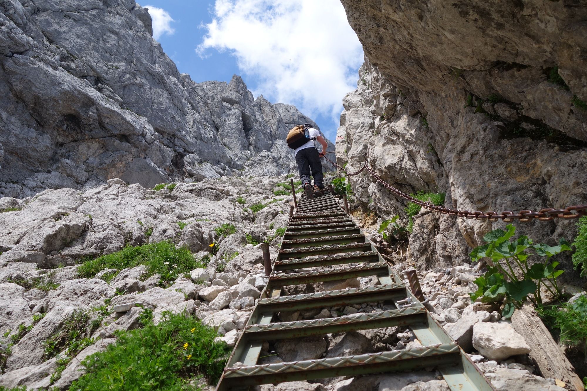
Photos of our users

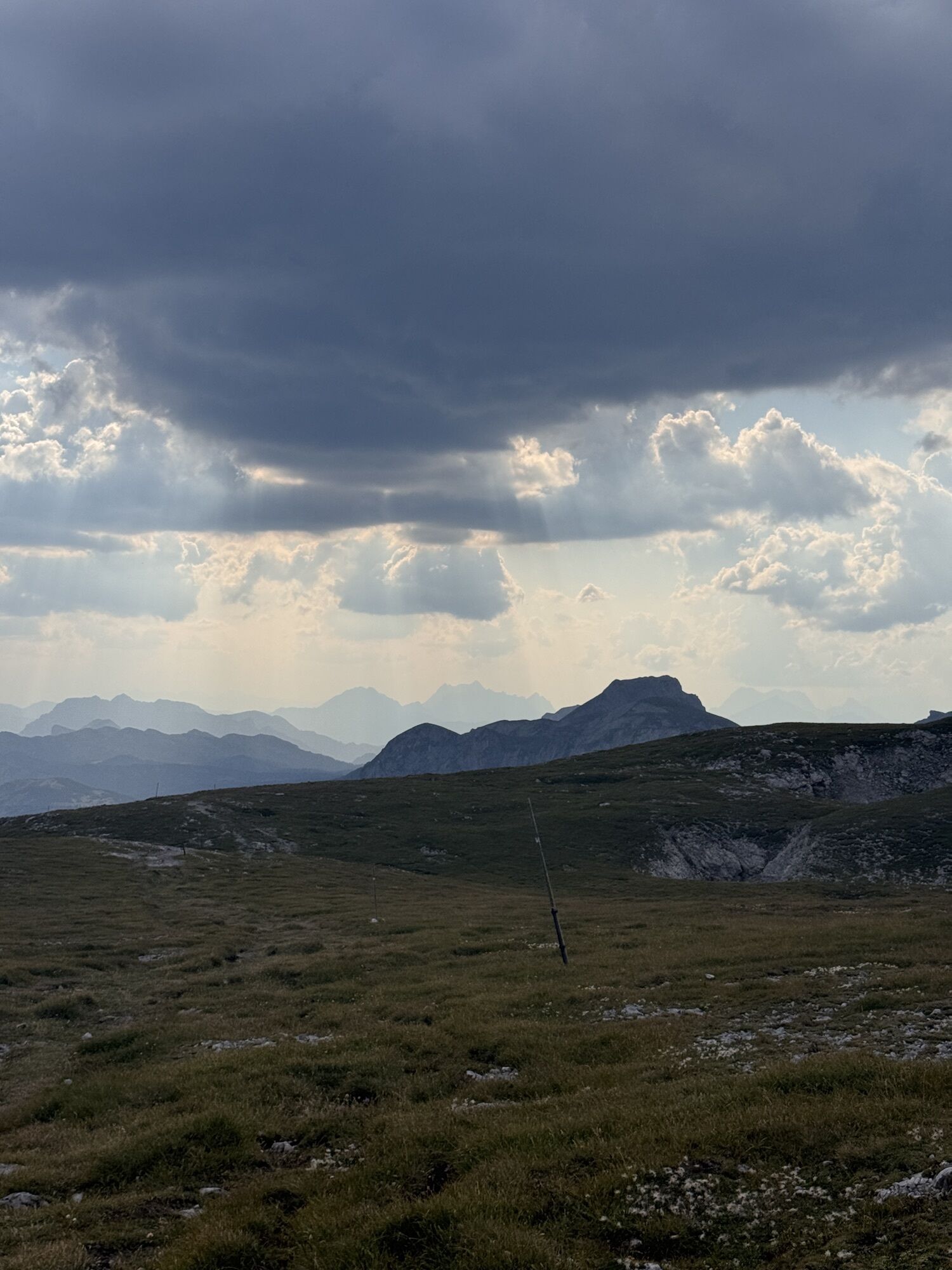
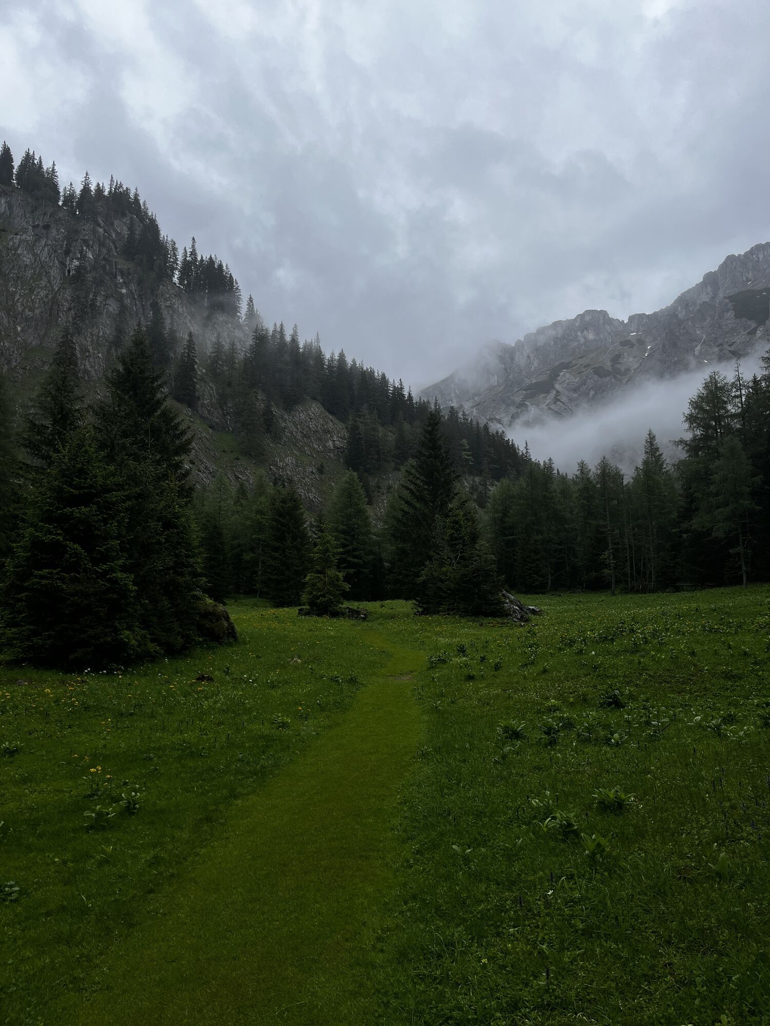
 © Peter VamosiCreated on 26.05.2024
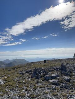
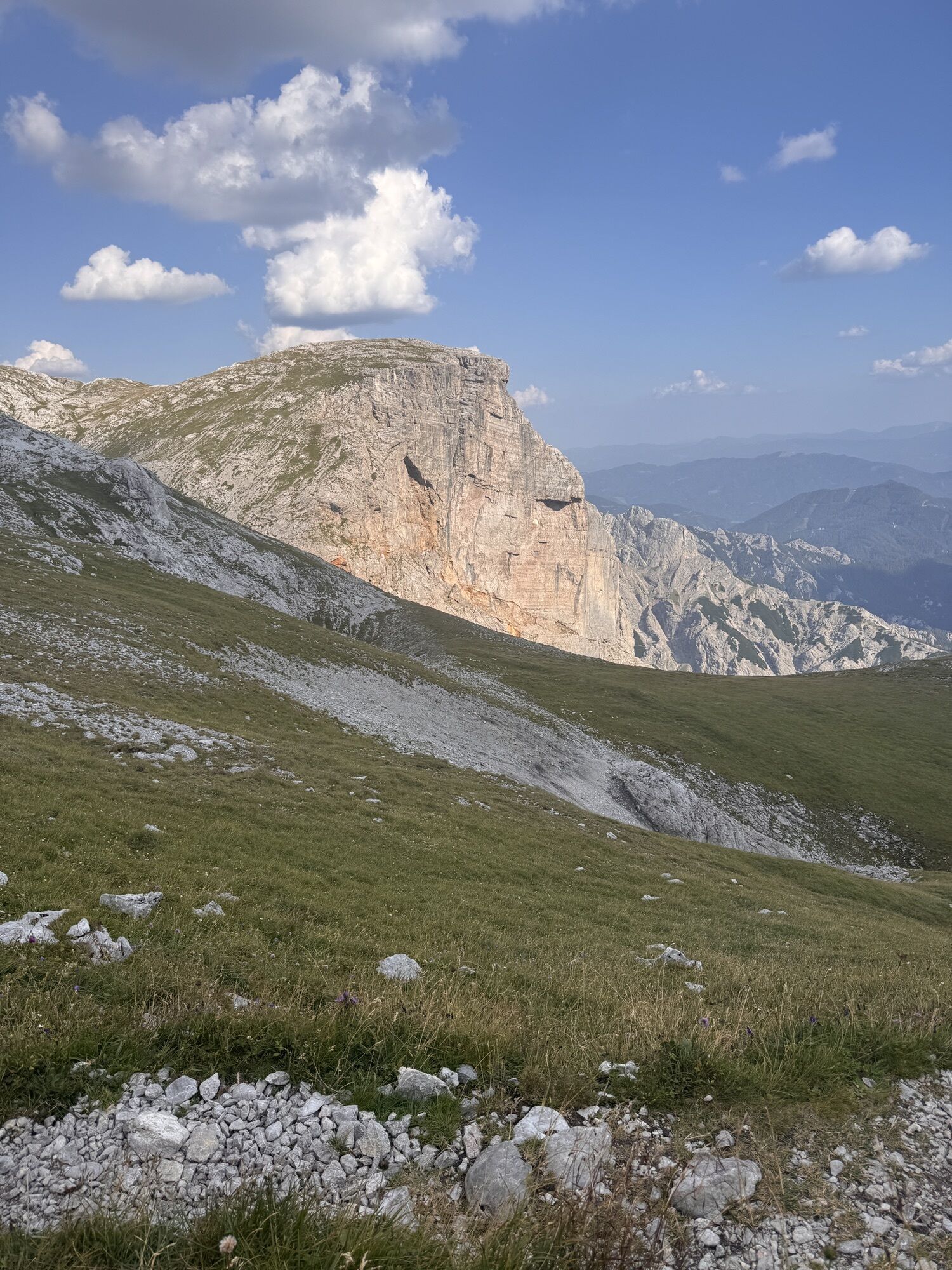
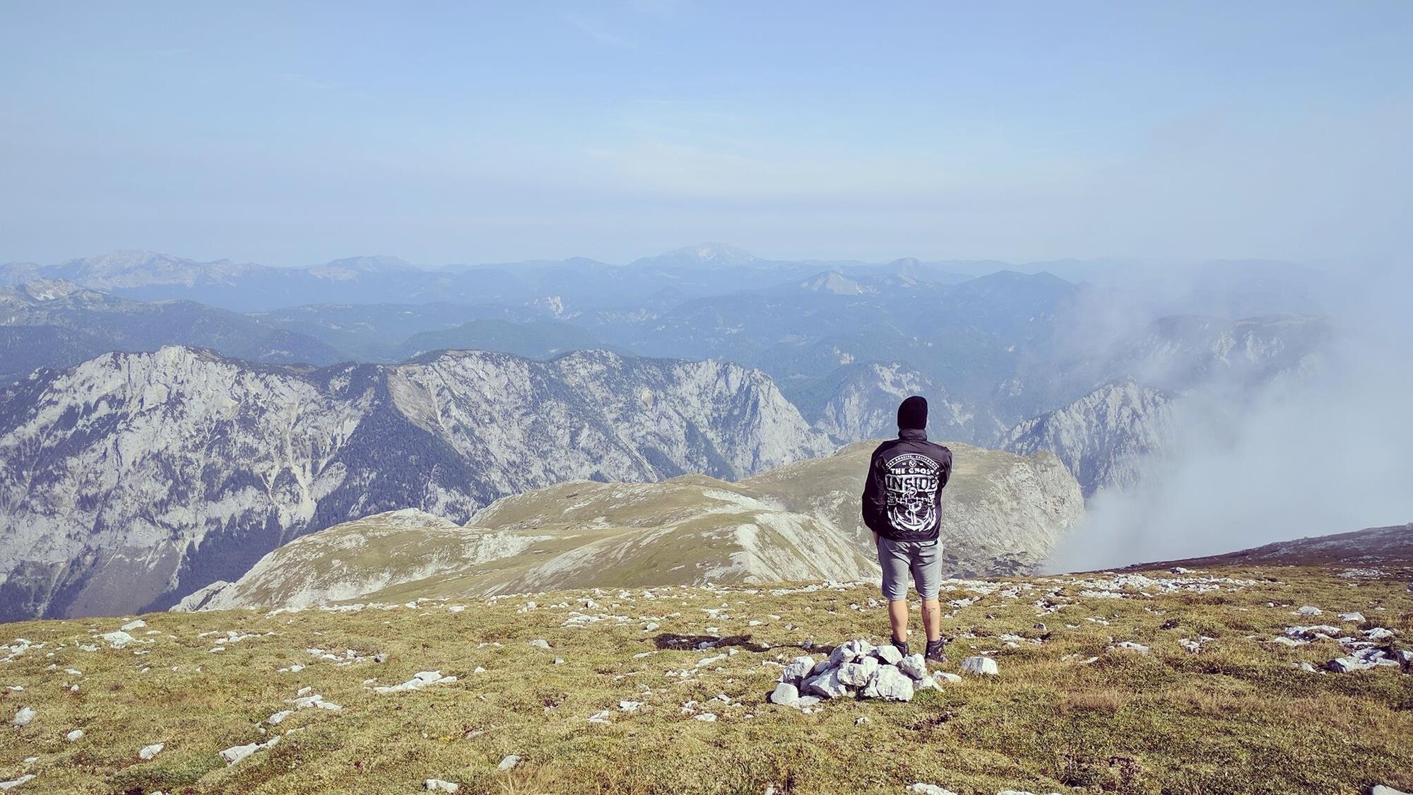
 © Botond CzelleczCreated on 20.08.2025
 © Botond CzelleczCreated on 20.08.2025
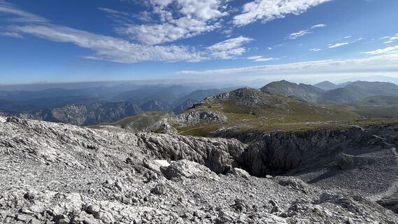 © Botond CzelleczCreated on 20.08.2025
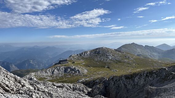 © Botond CzelleczCreated on 20.08.2025
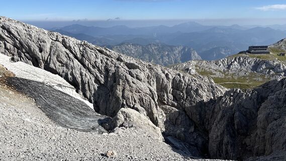 © Botond CzelleczCreated on 20.08.2025
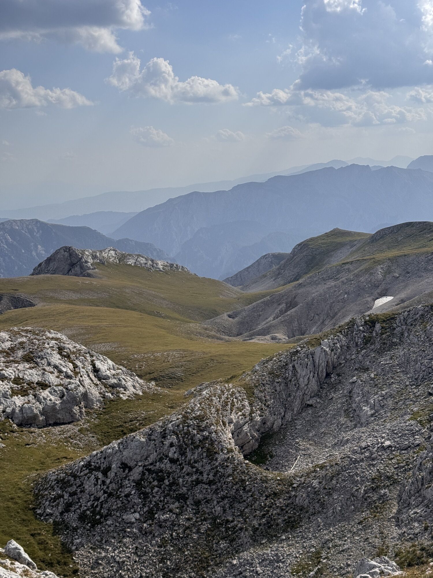
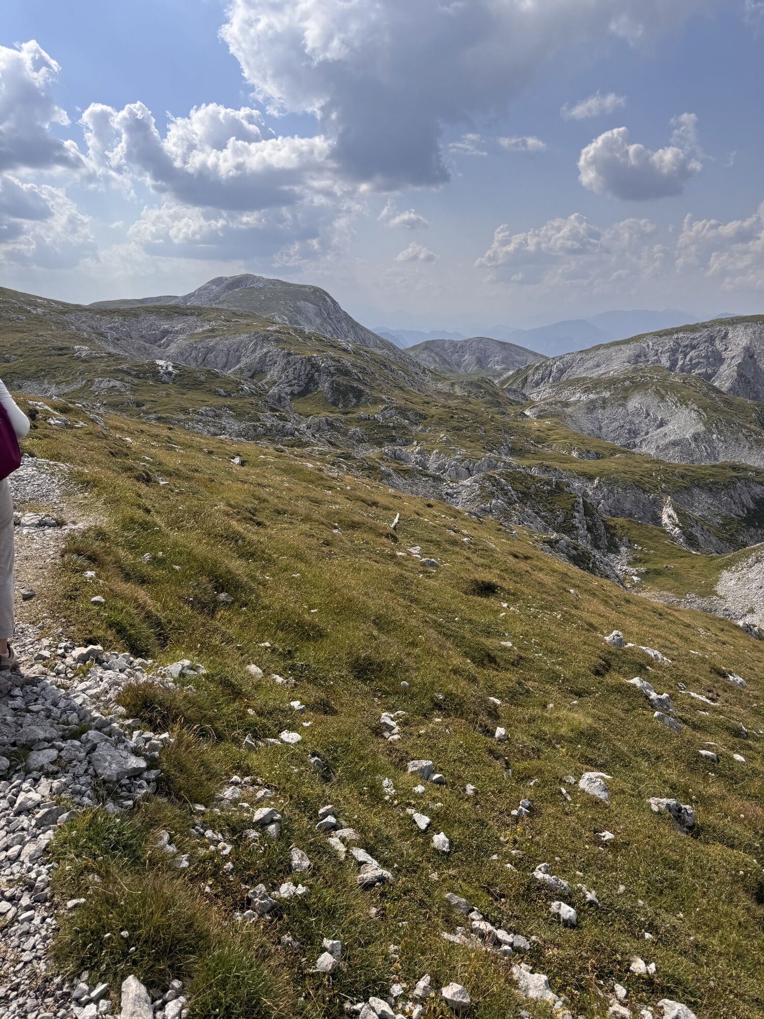
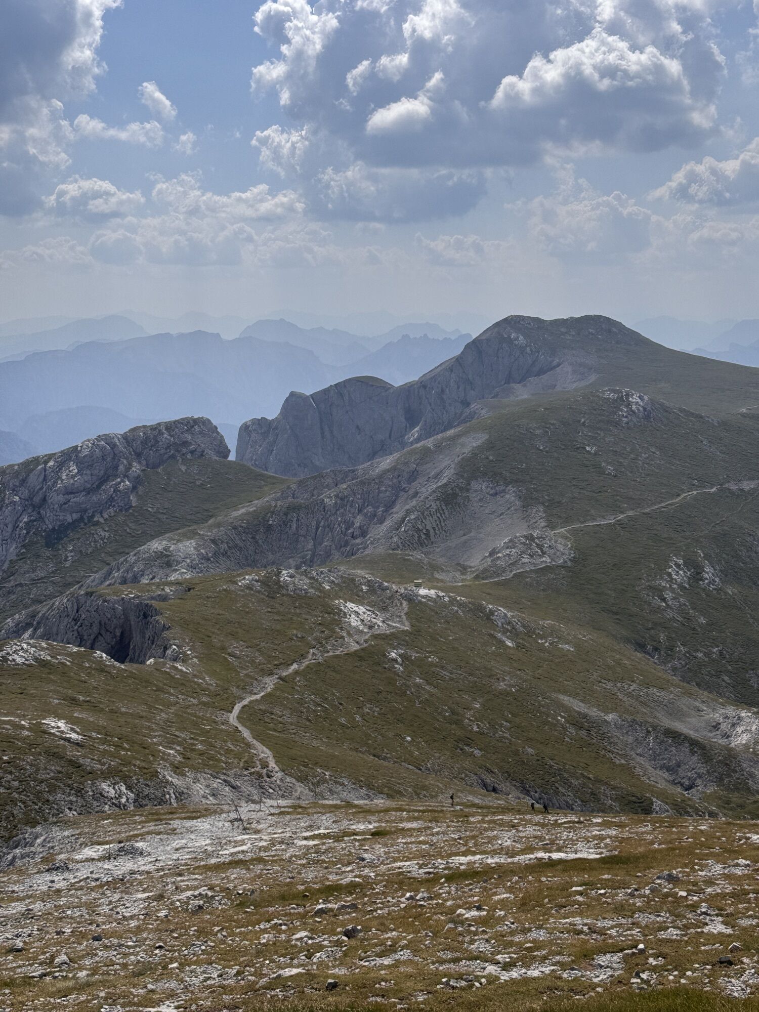
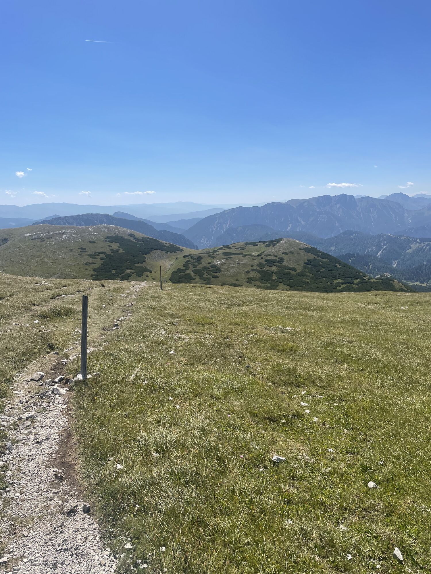
 © Vishnu Cherukattuvalappil MohananCreated on 15.08.2025
 © Vishnu Cherukattuvalappil MohananCreated on 15.08.2025
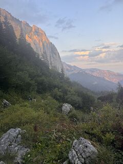 © Vishnu Cherukattuvalappil MohananCreated on 15.08.2025
 © Vishnu Cherukattuvalappil MohananCreated on 15.08.2025
 © Vishnu Cherukattuvalappil MohananCreated on 15.08.2025
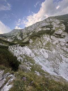 © Vishnu Cherukattuvalappil MohananCreated on 15.08.2025
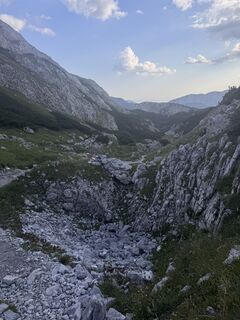 © Vishnu Cherukattuvalappil MohananCreated on 15.08.2025
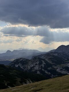 © Vishnu Cherukattuvalappil MohananCreated on 15.08.2025
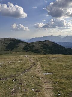 © Vishnu Cherukattuvalappil MohananCreated on 15.08.2025
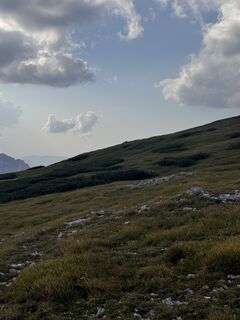 © Vishnu Cherukattuvalappil MohananCreated on 15.08.2025
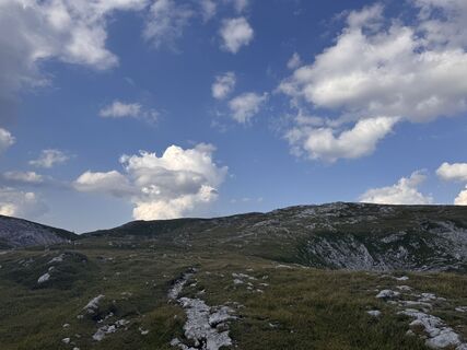 © Vishnu Cherukattuvalappil MohananCreated on 15.08.2025
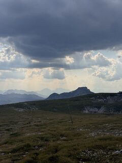 © Vishnu Cherukattuvalappil MohananCreated on 15.08.2025
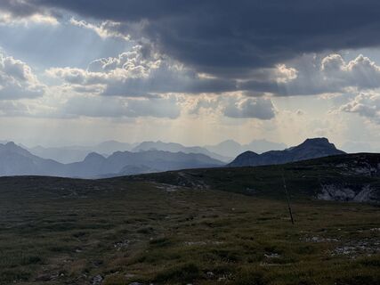 © Vishnu Cherukattuvalappil MohananCreated on 15.08.2025
 © Vishnu Cherukattuvalappil MohananCreated on 15.08.2025
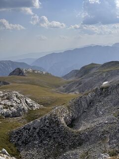 © Vishnu Cherukattuvalappil MohananCreated on 15.08.2025
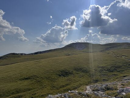 © Vishnu Cherukattuvalappil MohananCreated on 15.08.2025
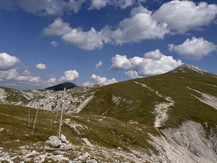 © Vishnu Cherukattuvalappil MohananCreated on 15.08.2025
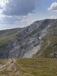 © Vishnu Cherukattuvalappil MohananCreated on 15.08.2025
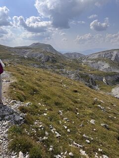 © Vishnu Cherukattuvalappil MohananCreated on 15.08.2025
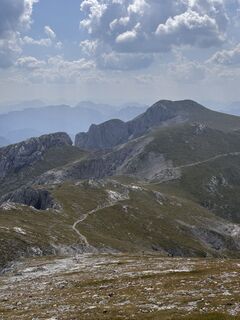 © Vishnu Cherukattuvalappil MohananCreated on 15.08.2025
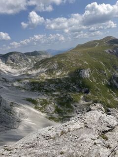 © Vishnu Cherukattuvalappil MohananCreated on 15.08.2025
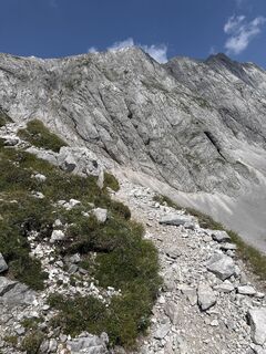 © Vishnu Cherukattuvalappil MohananCreated on 15.08.2025
 © Vishnu Cherukattuvalappil MohananCreated on 15.08.2025
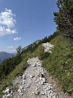 © Vishnu Cherukattuvalappil MohananCreated on 15.08.2025
 © Vishnu Cherukattuvalappil MohananCreated on 15.08.2025
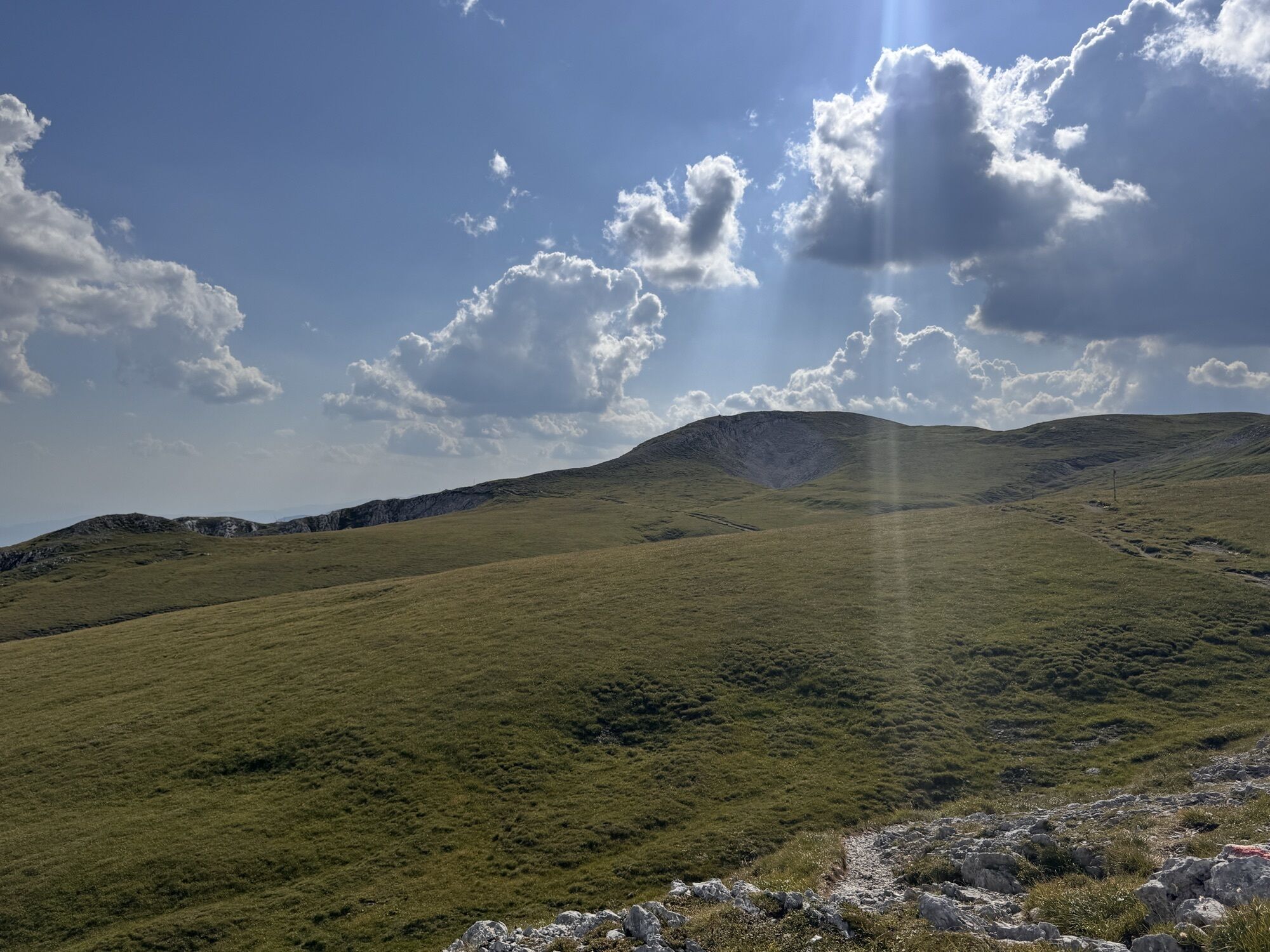
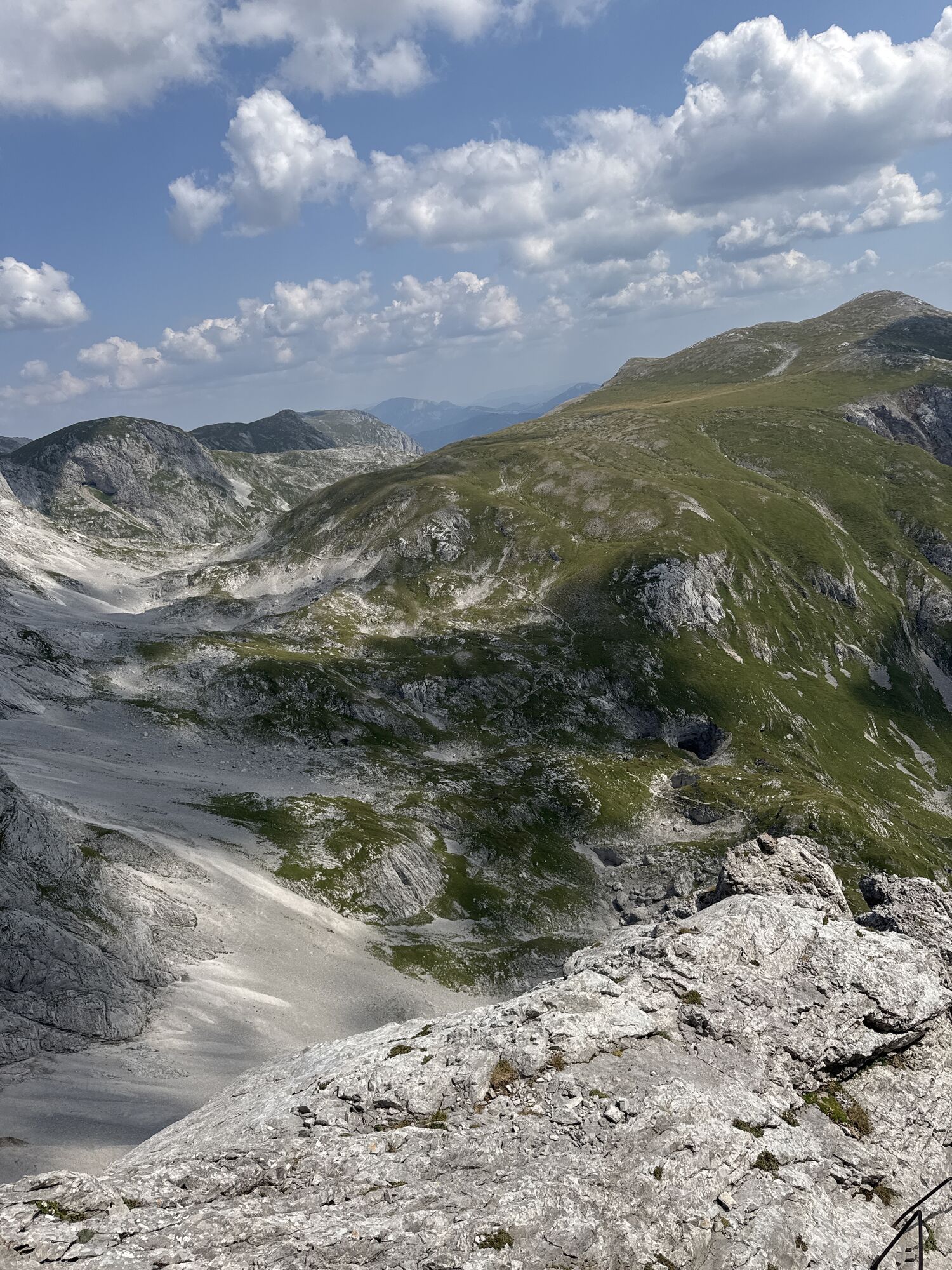
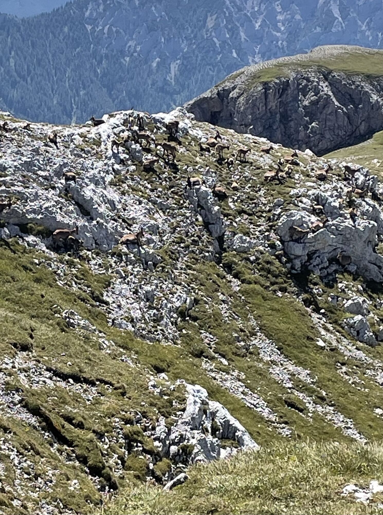
 © Siegried ZupancicCreated on 09.08.2025
 © LupusmotusCreated on 09.08.2025
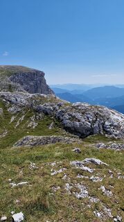 © Siegried ZupancicCreated on 09.08.2025
 © Siegried ZupancicCreated on 09.08.2025
 © Siegried ZupancicCreated on 09.08.2025
 © Aga MCreated on 24.10.2021
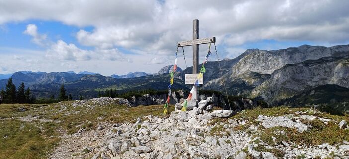
 © Filip TesarčíkCreated on 11.09.2024
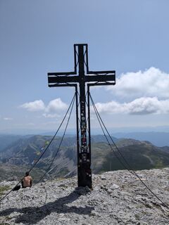
 © UmfiCreated on 29.06.2024
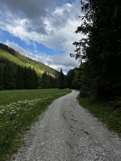 © Peter VamosiCreated on 26.05.2024
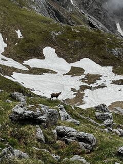 © Peter VamosiCreated on 26.05.2024
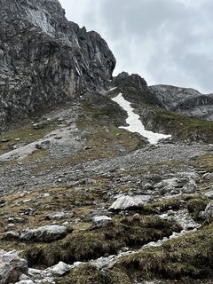 © Peter VamosiCreated on 26.05.2024
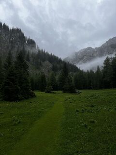 © Peter VamosiCreated on 26.05.2024
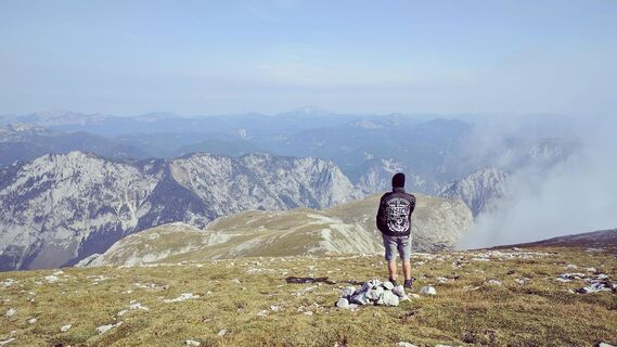
 © flocantaraCreated on 18.08.2022
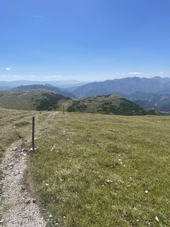 © Petra PirkerCreated on 08.08.2025
 © Petra PirkerCreated on 08.08.2025
 © Petra PirkerCreated on 08.08.2025
 © Petra PirkerCreated on 08.08.2025


Route
Gasthaus Bodenbauer
(884 m)
Restaurant
0,1 km
Schottenkogel
(1.100 m)
Summit
2,1 km
Trawiesalm
(1.235 m)
Corridor/terrain
3,0 km
Das G'hackte
(2.014 m)
Corridor/terrain
6,1 km
Hochschwab
(2.277 m)
Summit
7,3 km
Rauchtalsattel
(2.112 m)
Mountain saddle
9,5 km
Häuslalm Hütte
(1.526 m)
Shelter
14,7 km
Route
Bodenbauer - Hochschwab - G`hackte - Häuselalm
medium
Hiking
18,70
km
Gasthaus Bodenbauer
(884 m)
Restaurant
0,1 km
Schottenkogel
(1.100 m)
Summit
2,1 km
Trawiesalm
(1.235 m)
Corridor/terrain
3,0 km
Vogelbad
(1.632 m)
Source
5,0 km
G'hacktbrunn
(1.781 m)
Source
5,5 km
Das G'hackte
(2.014 m)
Corridor/terrain
6,1 km
Hochschwab
(2.277 m)
Summit
7,3 km
G'hacktkogel
(2.213 m)
Summit
8,3 km
Rauchtalsattel
(2.112 m)
Mountain saddle
9,5 km
Häuslalm Hütte
(1.526 m)
Shelter
14,7 km
Gasthaus Bodenbauer
(884 m)
Restaurant
18,6 km


Last tracked
today
Route information
Steep passage
Yes
Summit tour
Yes
Valuations
1 Comment
waltraud froihofer
07. Jul. 2025
Hochschwab Runde vom Bodenbauer aus über das G‘hackte und Häuselalm
Popular tours in the neighbourhood
- 4,6
Messnerin
mediumHiking8,90 km - 4,8
/\ TAC Spitze, Griesmauer und Polster
heavyHiking9,82 km - 4,8
"Messnerin 1835m" mit gewaltigen 360 Grad Panorama
mediumHiking16,4 km - 5,0
Präbichl - Polster - Leobner Hütte - Präbichl
mediumHiking9,49 km - 4,8
Jassing - Sonnschienalm Steiermark/Österreich
lightHiking7,01 km - 4,4
Übers G'hackte auf den Hochschwab
heavyHiking7,51 km - 5,0
Rundwanderung von Tragöß auf die Sonnschienalm
mediumHiking17,4 km - 4,9
Rund um den Grünen See
lightHiking3,63 km - 5,0
Über den riesigen "Hochschwab 2277m" - Bodenbauer - Hochschwabgruppe - G'Hacktes - Steiermark - Thörl
mediumHiking23,9 km - 4,7
Hochschwab: Trenchtling
mediumHiking6,41 km

Hiking & Tracking

Over 550.000 tour suggestions, detailed maps and an intuitive route planner make the app a must-have for all nature enthusiasts.

Don't miss out on offers and inspiration for your next holiday
Subscribe to the newsletter
Error
An error has occurred. Please try again.Thank you for your registration
Your e-mail address has been added to the mailing list.
Tours throughout Europe
Austria Switzerland Germany Italy Slovenia France Netherlands Belgium Poland Liechtenstein Czechia Slovakia Spain Croatia Bosnia and Herzegovina Luxembourg Andorra Portugal Iceland United Kingdom Ireland Greece Albania North Macedonia Malta Norway Montenegro Moldova Kosovo Hungary San Marino Romania Estonia Latvia Belarus Cyprus Lithuania Serbia Bulgaria Monaco Denmark Sweden Finland