Ramsau am Dachstein - Evang. Pfarrkirche - St. Rupert am Kulm - Erzherzog-Johann-Hütte
heavy
Navigate
Navigate
Get this tour on your mobile
Ramsau am Dachstein - Evang. Pfarrkirche - St. Rupert am Kulm - Erzherzog-Johann-Hütte
heavy
Long distance cycling
61,35
km
Scan the QR code and start navigation in the bergfex app

Hiking & Tracking


Distance
61,35
km
Duration
04:38
h
Ascent
494
m
Sea level
665 -
1.485
m
Track download
Ramsau am Dachstein - Evang. Pfarrkirche - St. Rupert am Kulm - Erzherzog-Johann-Hütte
heavy
Long distance cycling
61,35
km


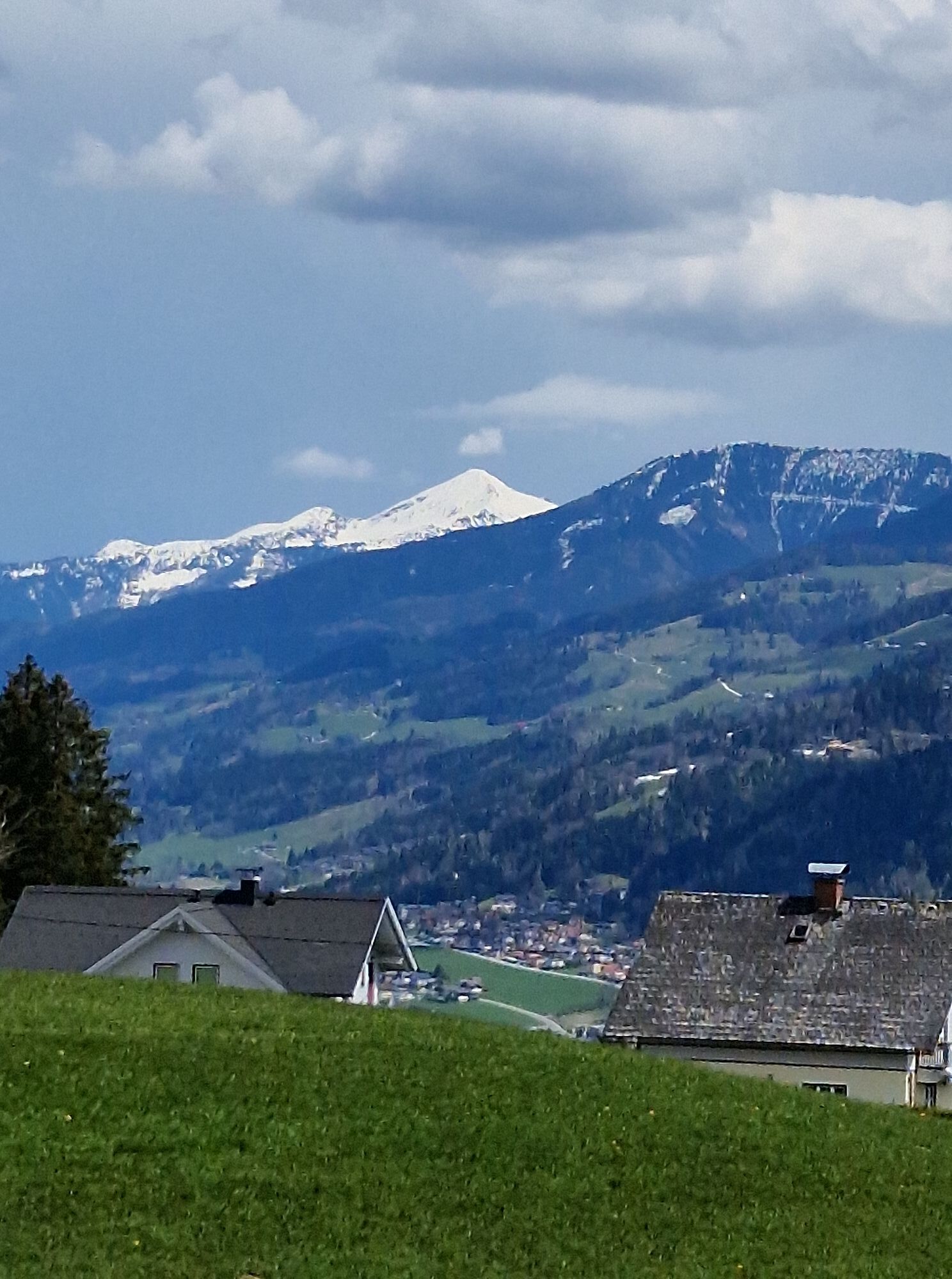
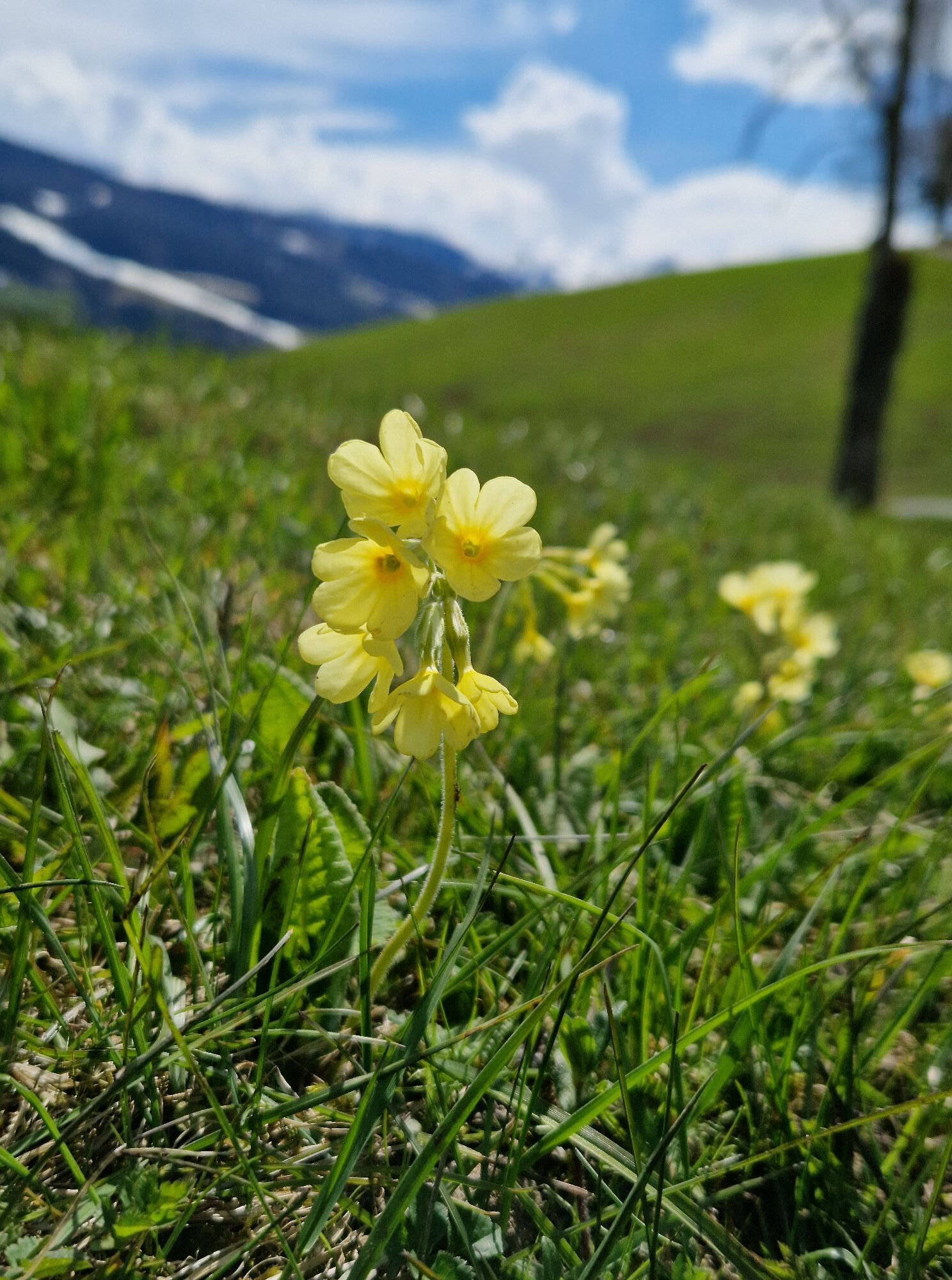
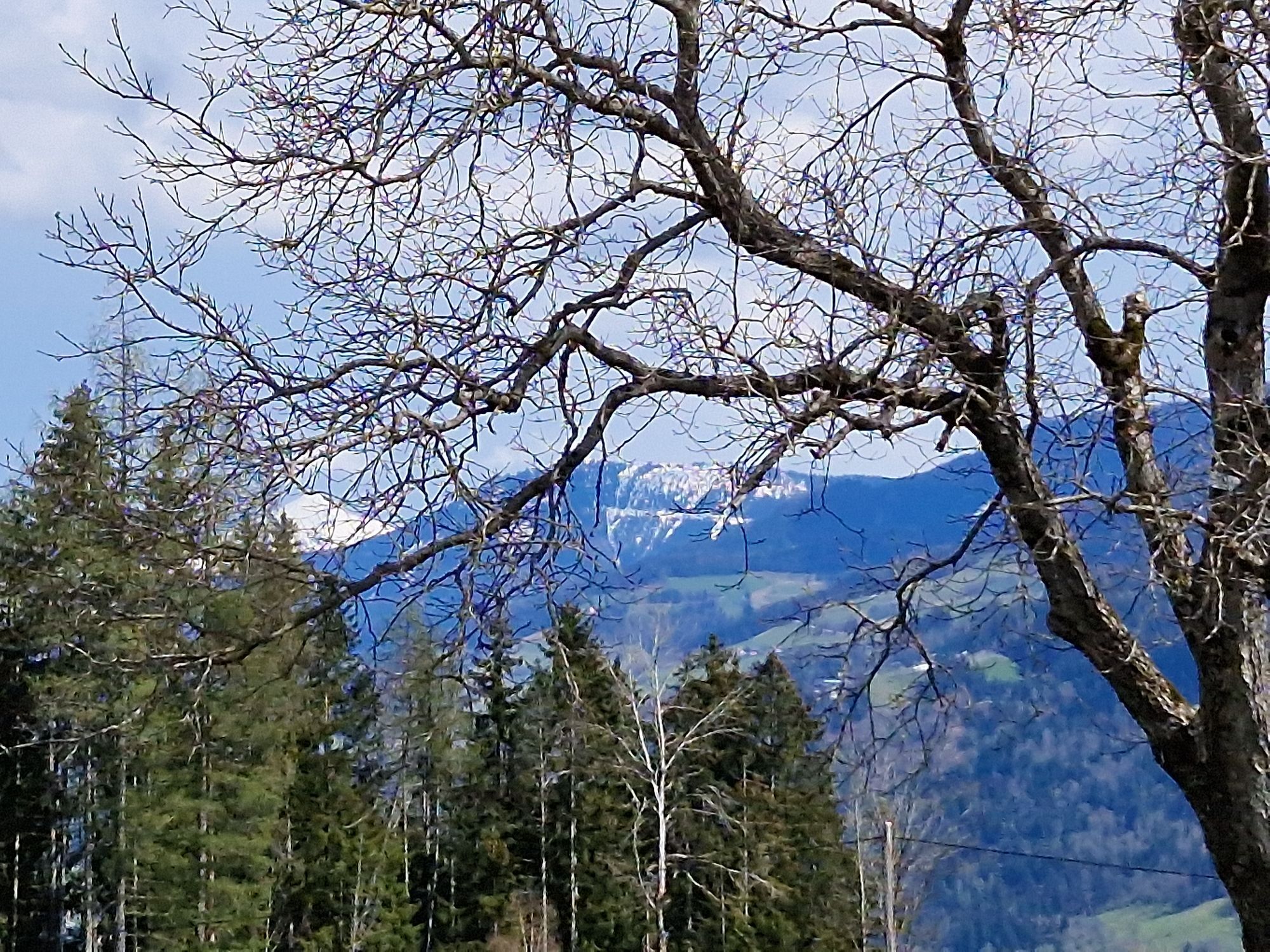
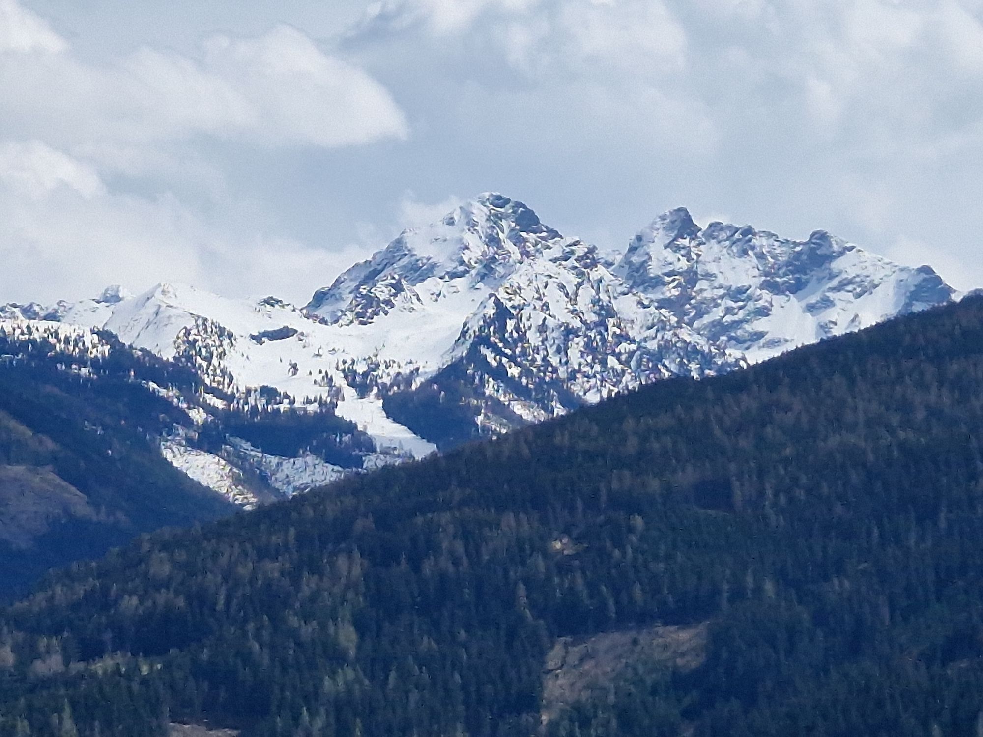
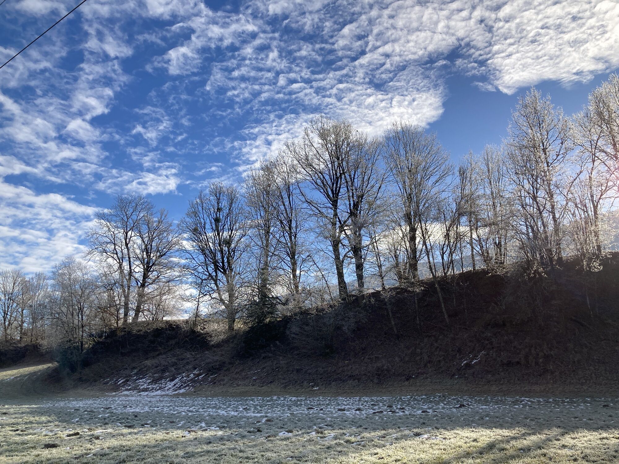
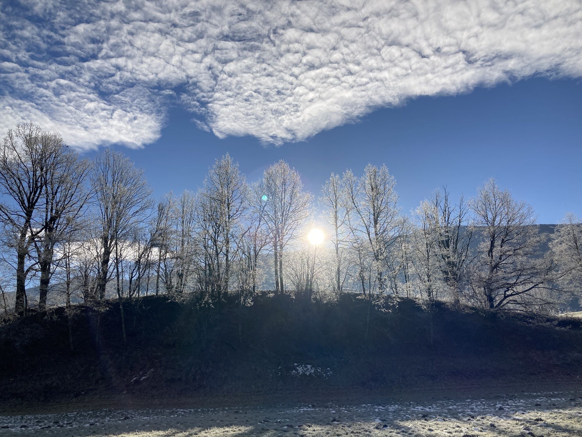
Photos from our users
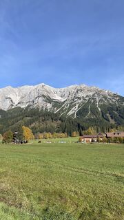
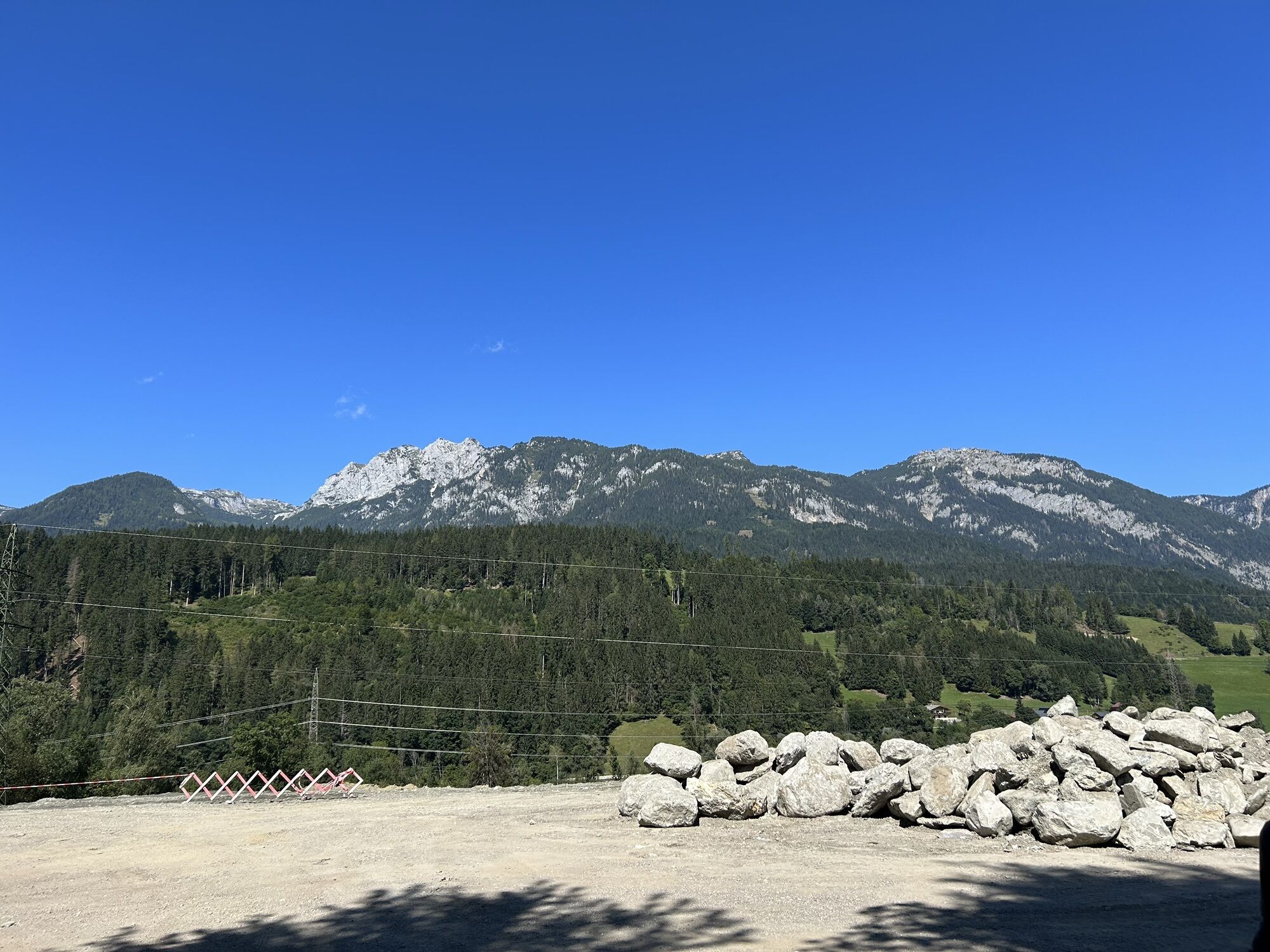
 © And BCreated on 29.10.2023
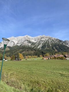 © And BCreated on 29.10.2023
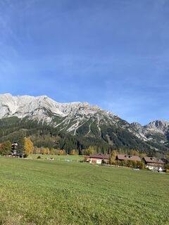 © And BCreated on 29.10.2023
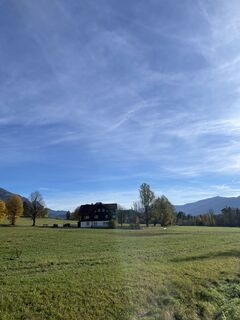 © And BCreated on 29.10.2023
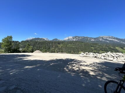
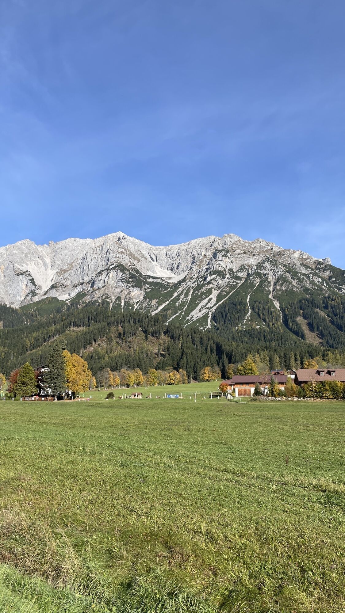
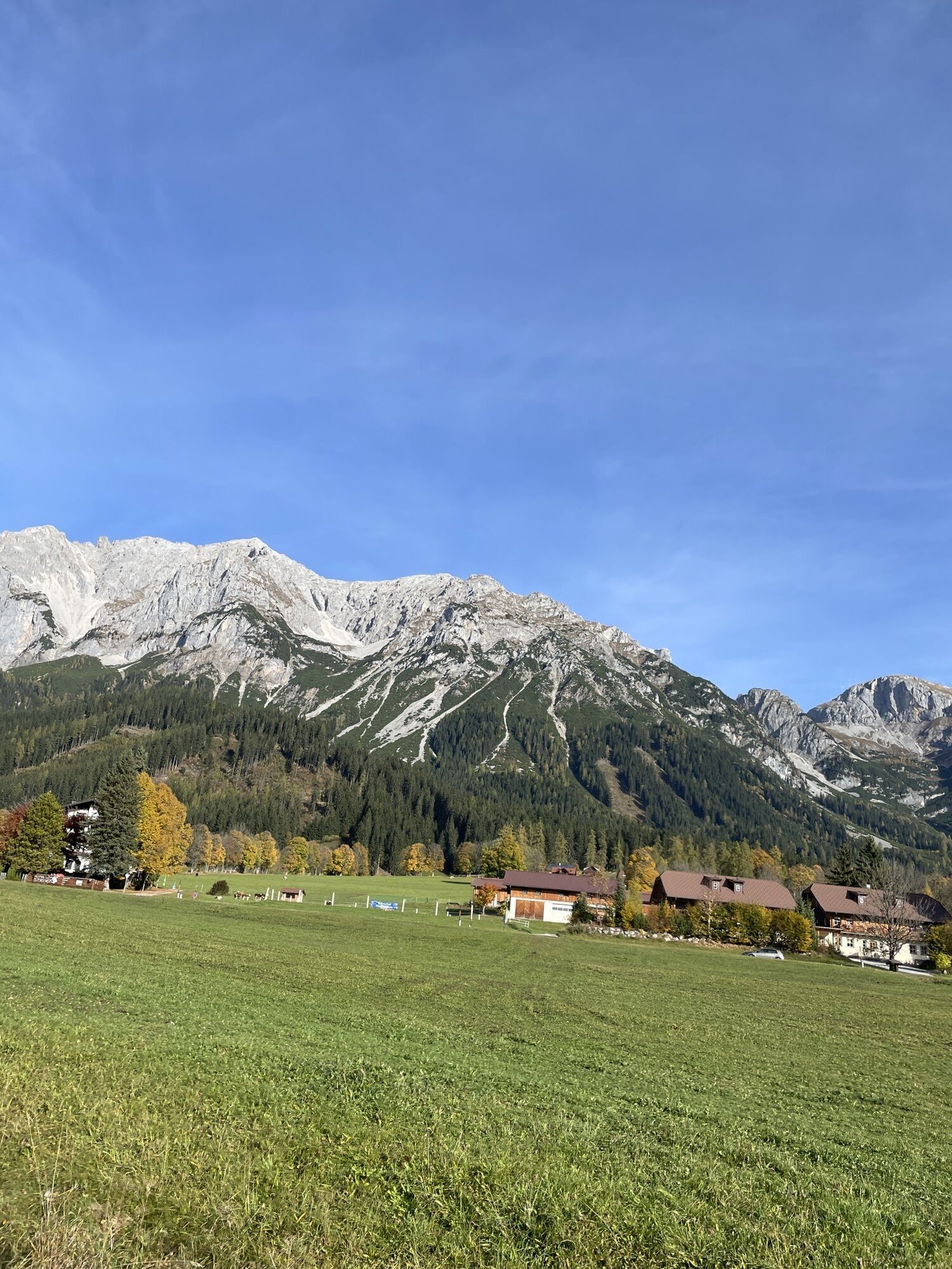
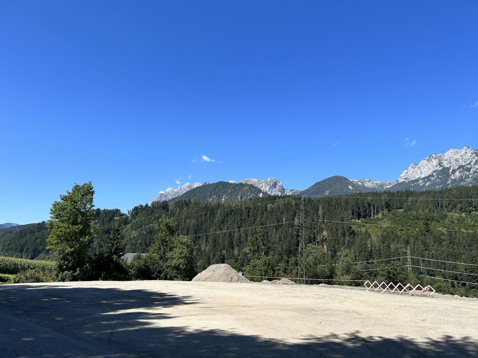
 © Walter KoppitschCreated on 05.09.2023
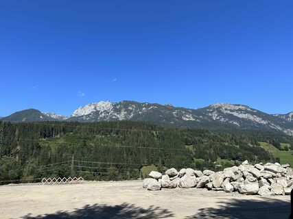 © Walter KoppitschCreated on 05.09.2023
 © Walter KoppitschCreated on 05.09.2023
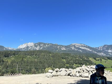 © Walter KoppitschCreated on 05.09.2023
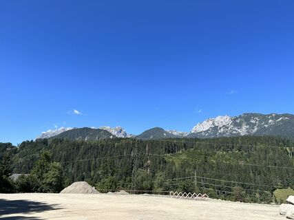 © Walter KoppitschCreated on 05.09.2023
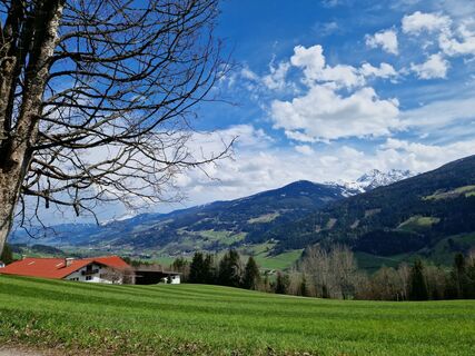
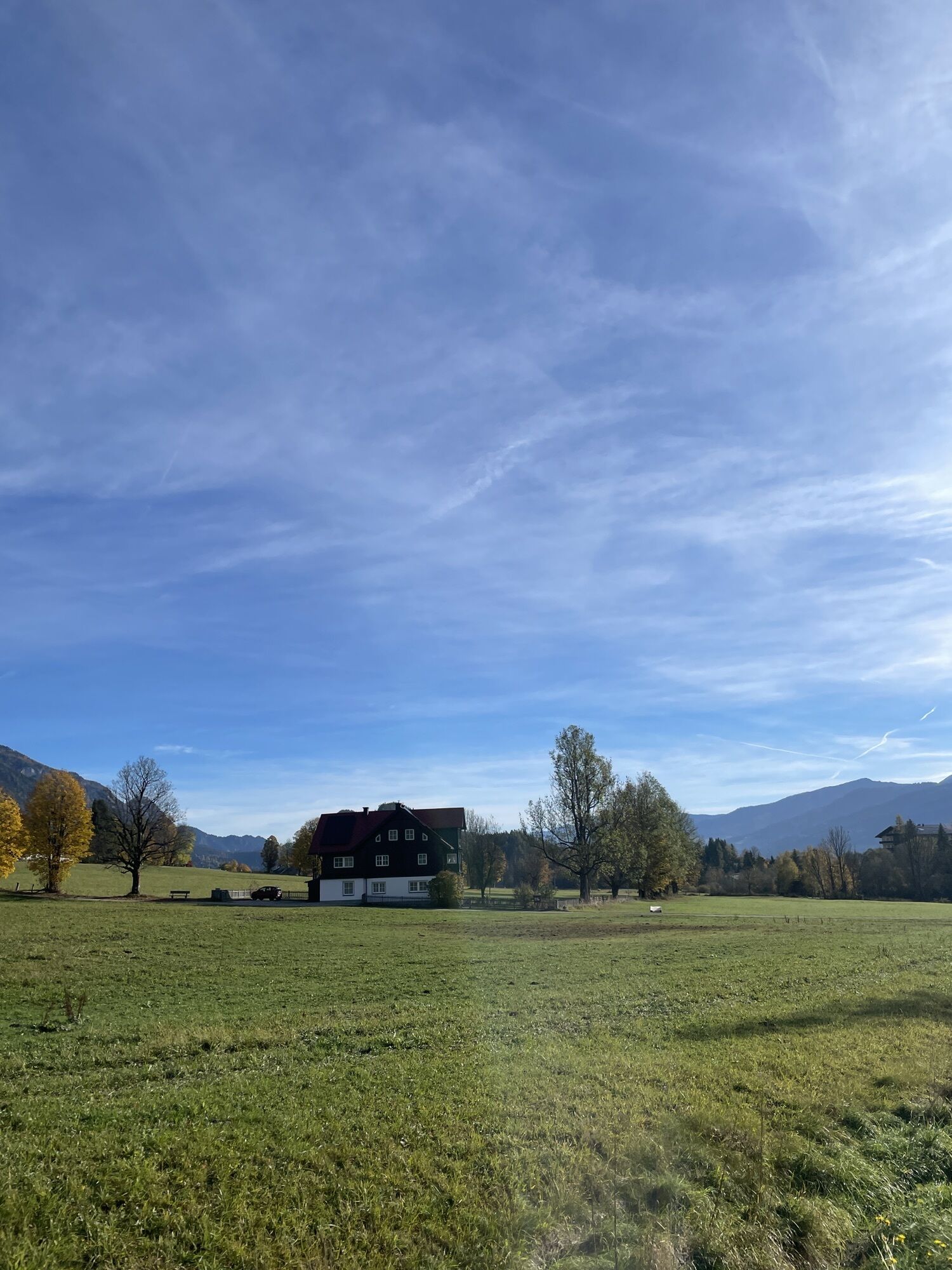
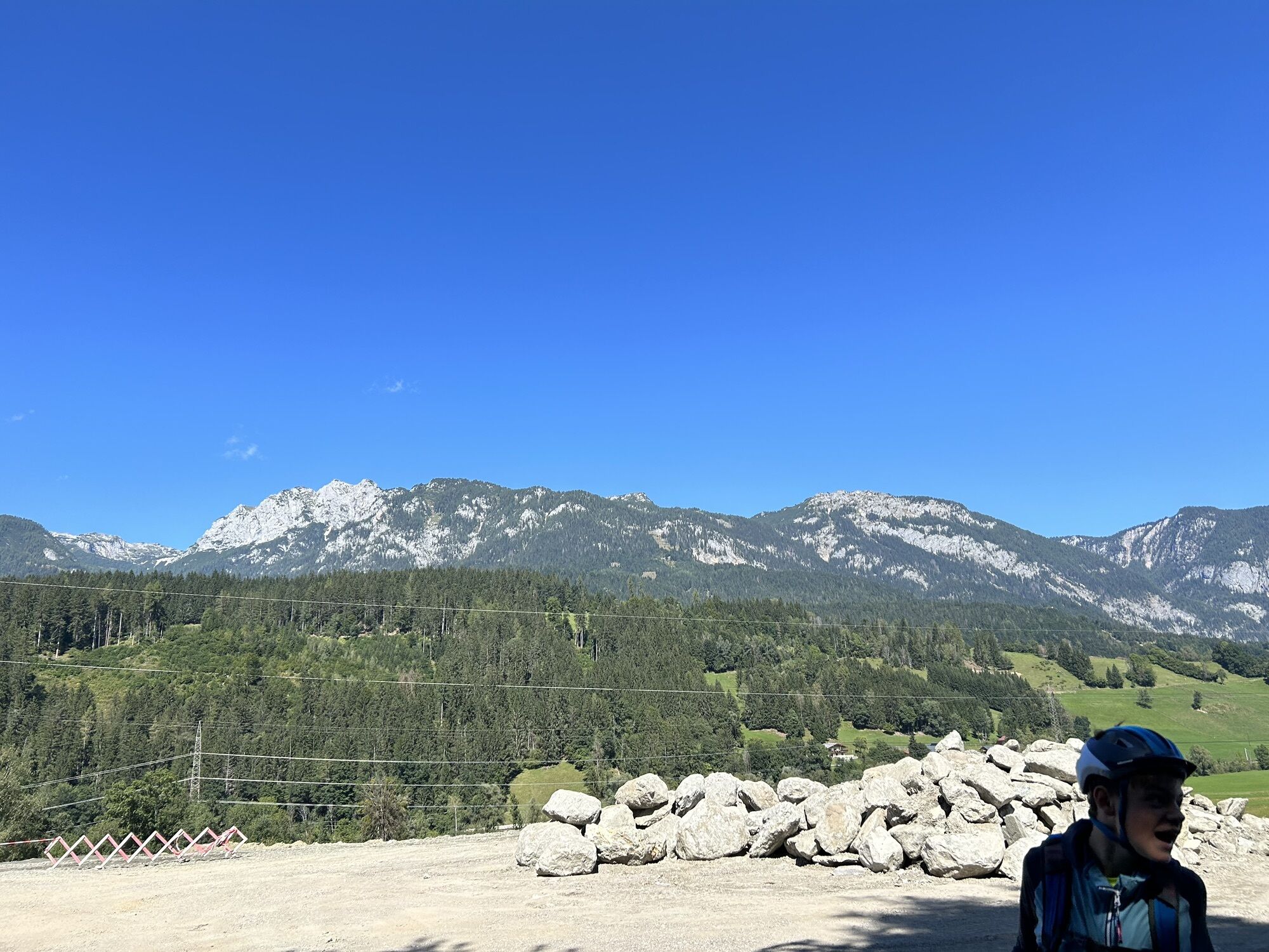
 © Hannes SticklerCreated on 23.04.2023
 © Hannes SticklerCreated on 23.04.2023
 © Hannes SticklerCreated on 23.04.2023
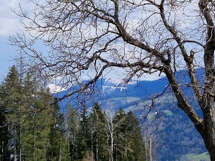 © Hannes SticklerCreated on 23.04.2023
 © Hannes SticklerCreated on 23.04.2023
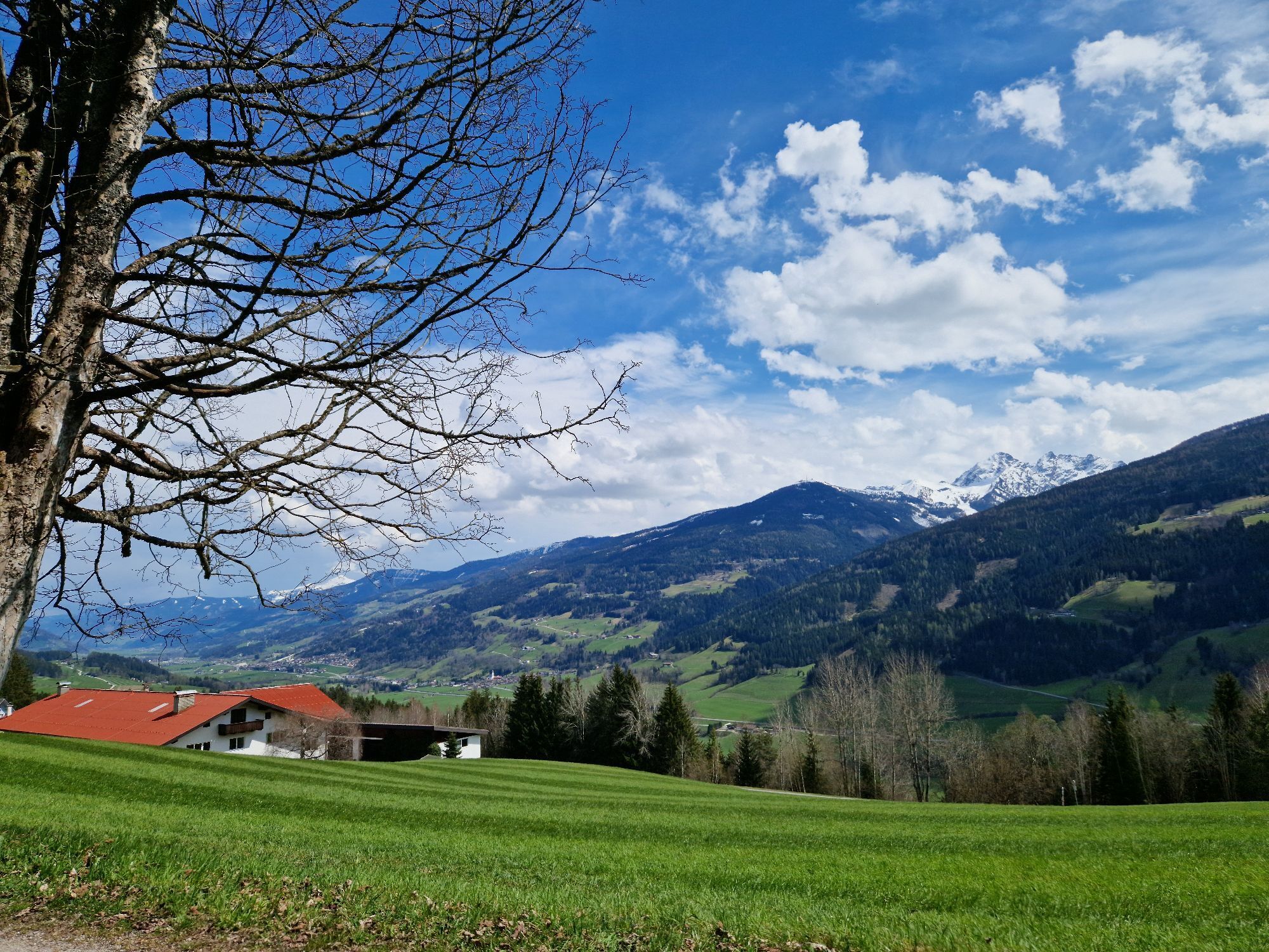
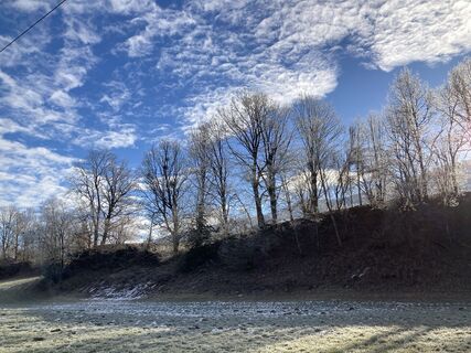 © Walter ReiterCreated on 29.12.2022
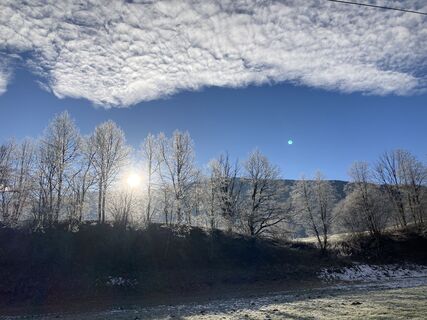 © Walter ReiterCreated on 29.12.2022
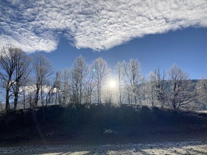 © Walter ReiterCreated on 29.12.2022


Route
St. Rupert am Kulm
(1.082 m)
Place of worship
2,4 km
Stadtpfarrkirche St. Achaz
(743 m)
Place of worship
9,6 km
Seebacher-Siedlung
(731 m)
Neighbourhood
11,3 km
Haus im Ennstal
(761 m)
Village
17,6 km
St. Michael
(697 m)
Place of worship
33,3 km
Gatschberg
(767 m)
Settlement
39,9 km
Erzherzog-Johann-Hütte
(1.490 m)
Shelter
61,3 km
Route
Ramsau am Dachstein - Evang. Pfarrkirche - St. Rupert am Kulm - Erzherzog-Johann-Hütte
heavy
Long distance cycling
61,35
km
Evang. Pfarrkirche
(1.135 m)
Place of worship
0,0 km
Ramsau am Dachstein
(1.126 m)
Village
0,4 km
St. Rupert am Kulm
(1.082 m)
Place of worship
2,4 km
Kulm
(1.073 m)
Neighbourhood
2,4 km
Almfrieden
(1.078 m)
Restaurant
2,9 km
Neuwirt
(1.046 m)
Restaurant
3,8 km
Schladming
(745 m)
City
9,1 km
Annakapelle
(742 m)
Place of worship
9,6 km
Stadtpfarrkirche St. Achaz
(743 m)
Place of worship
9,6 km
Evang. Peter-und-Paul-Kirche
(749 m)
Place of worship
10,1 km
Seebacher-Siedlung
(731 m)
Neighbourhood
11,3 km
Mauterndorf
(725 m)
Settlement
12,8 km
Lehen
(732 m)
Settlement
14,5 km
Oberhaus
(742 m)
Settlement
15,4 km
KulmiNarium
(725 m)
Restaurant
16,1 km
Haus im Ennstal
(761 m)
Village
17,6 km
Weißenbach
(720 m)
Village
20,3 km
Aich
(693 m)
Village
24,2 km
Pruggern
(681 m)
Village
29,0 km
Landgasthof Bierfriedl
(680 m)
Restaurant
29,1 km
Gröbming
(676 m)
Railway station
32,6 km
Moosheim
(696 m)
Settlement
33,2 km
St. Michael
(697 m)
Place of worship
33,3 km
Restaurant Hubertus
(669 m)
Restaurant
38,0 km
Stein an der Enns
(669 m)
Settlement
38,2 km
Gatschberg
(767 m)
Settlement
39,9 km
Großsölk
(902 m)
Village
43,1 km
Almstüberl
(919 m)
Restaurant
46,9 km
Fleiß
(920 m)
Settlement
46,9 km
Ödwirt
(925 m)
Restaurant
47,8 km
Gasthof Sölkstub'n
(992 m)
Restaurant
51,1 km
Mößna
(1.021 m)
Settlement
52,2 km
Sankt Nikolai im Sölktal
(1.127 m)
Village
55,2 km
Erzherzog-Johann-Hütte
(1.490 m)
Shelter
61,3 km
No reviews yet
Webcams of the tour
Planai Bergstation Burgstallalm
Hüttendorf Pruggern
Planai Bergstation
Hochwurzen Talstation
Galsterbergalmhütte
Stoderzinken Gipfelplateau Windmessstation
Ramsau - Aparthotel Ramsau
Ramsau - Aparthotel Ramsau
Rittisberg
Ramsau / Lindenhof - Ramsbergerhof
Ramsau am Dachstein - WM Stadion
Haus im Ennstal - Herrschaftstaverne
Lärchkogel Bergstation
Planai Talstation
Bergschlössl
Ramsau am Dachstein
Ramsau am Dachstein
Ramsau am Dachstein
Ramsau am Dachstein
Rohrmoos - Tauernalm
Rohrmoos - Tauernalm
Ramsau Beach
Galsterberg - Gallisches Skidorf
Sölkpass - Blick nach Norden
Sölkpass - Blick nach Süden
Gröbming
Hauser Kaibling, Talstation
Mitterberg - St. Martin
Stoderzinken
Hopsi Express Talstation
Hüttendorf Pruggern
Hauser Kaibling - Höfi 1 Talstation
Hauser Kaibling - Höfi 2 Bergstation
Hauser Kaibling - Übungslift
Hüttendorf Schladming
Hüttendorf Schladming
Hüttendorf Pruggern
Schladming
Popular tours in the neighbourhood
- 4,6
Preintalerhütte über den Alpinsteig Höll
mediumThematic route13,3 km - 4,5
Krahbergzinken - Gipfelglück auf 2.134 m
mediumHiking5,58 km - 4,1
Königstour Klafferkessel
heavyHiking21,3 km - 5,0
„Top of Niedere Tauern“- 2 tages Tour - Wilde Wasser - Greifenberg 2618m - Hochgolling 2862m
mediumHiking35,5 km - 5,0
Hoch hinaus auf den "Greifenberg 2615m" - Rundwanderweg
mediumHiking20,4 km - 4,0
"Tal der stürzenden Wasser" - 3-Seen-Tour: Steirischer Bodensee - Hüttensee - Obersee
mediumThematic route8,41 km - 4,8
Alpinsteig Höll zum Riesachsee
mediumThematic route5,05 km - 4,2
Riesach Wasserfälle
Hiking4,73 km - 4,4
Hans-Wödl-Hütte und Obersee
mediumHiking5,45 km - 3,9
Knallstein
heavyHiking19 km

Hiking & Tracking

Over 550.000 tour suggestions, detailed maps and an intuitive route planner make the app a must-have for all nature enthusiasts.

Don't miss out on offers and inspiration for your next holiday
Subscribe to the newsletter
Error
An error has occurred. Please try again.Thank you for your registration
Your e-mail address has been added to the mailing list.
Tours throughout Europe
Austria Switzerland Germany Italy Slovenia France Netherlands Belgium Poland Liechtenstein Czechia Slovakia Spain Croatia Bosnia and Herzegovina Luxembourg Andorra Portugal Iceland United Kingdom Ireland Greece Albania North Macedonia Malta Norway Montenegro Moldova Kosovo Hungary San Marino Romania Estonia Latvia Belarus Cyprus Lithuania Serbia Bulgaria Monaco Denmark Sweden Finland