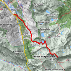
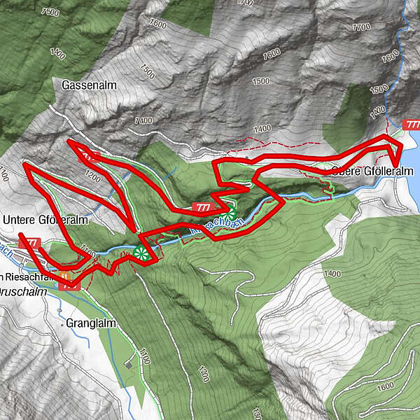
Tour data
4.73km
1,077
- 1,369m
292hm
03:00h
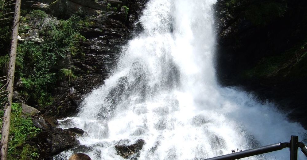
- Brief description
-
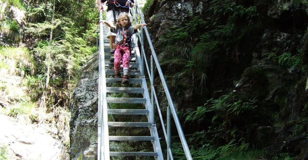
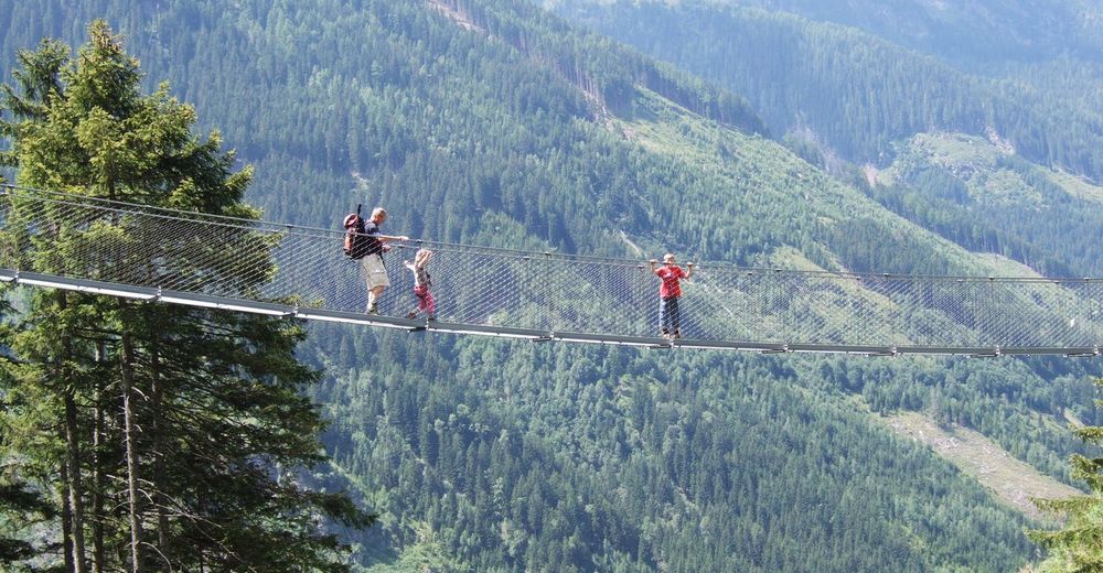
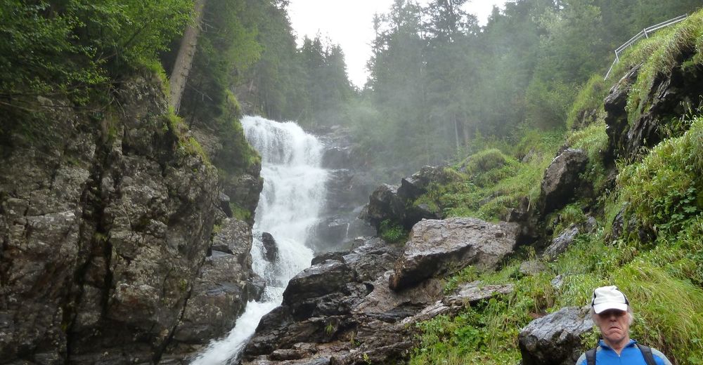
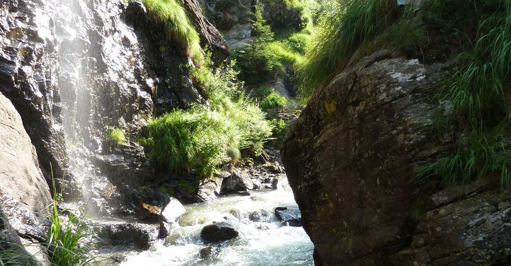
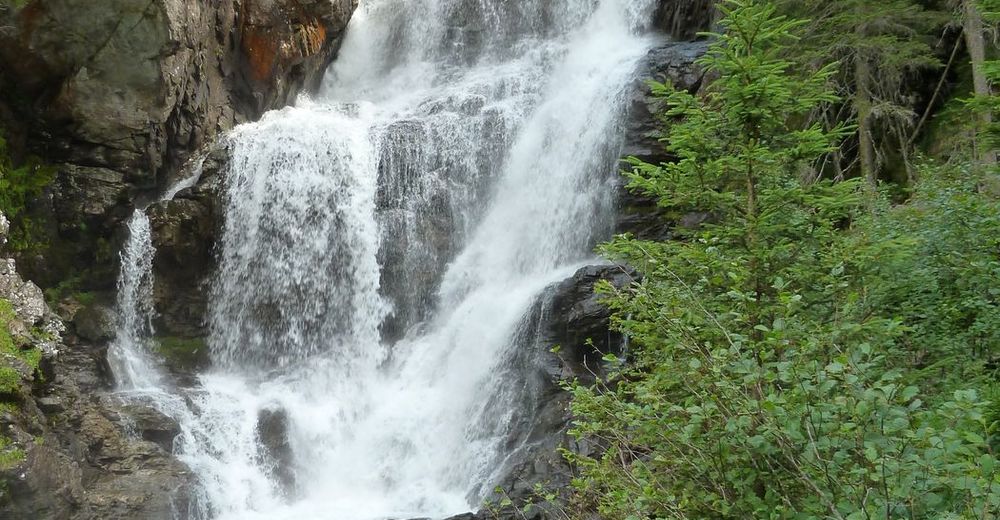
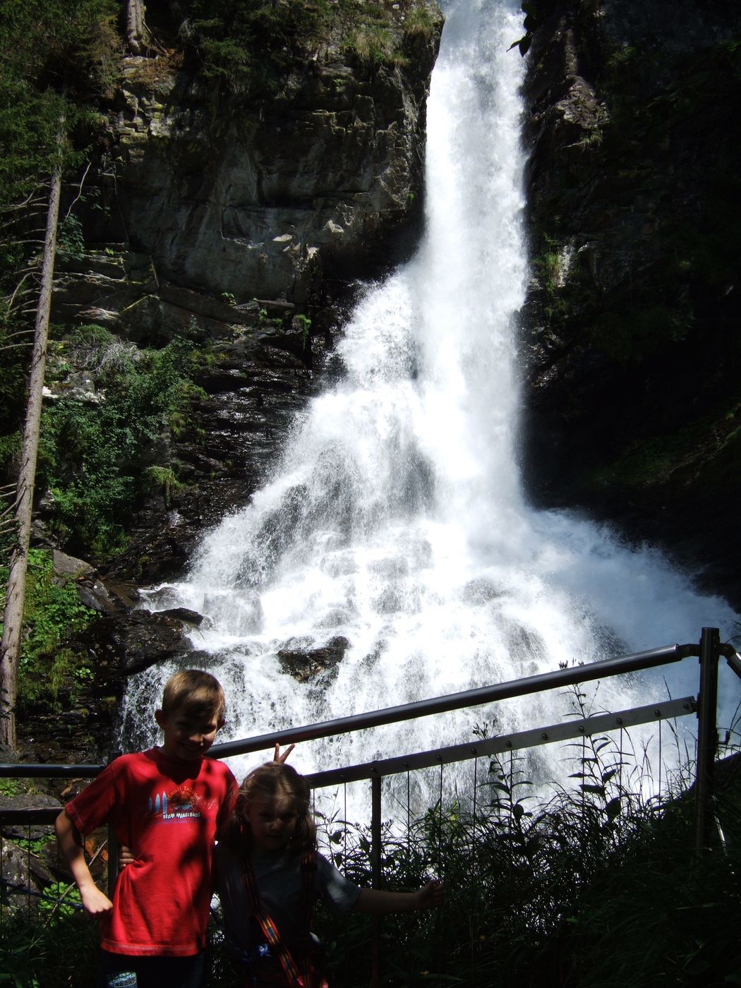
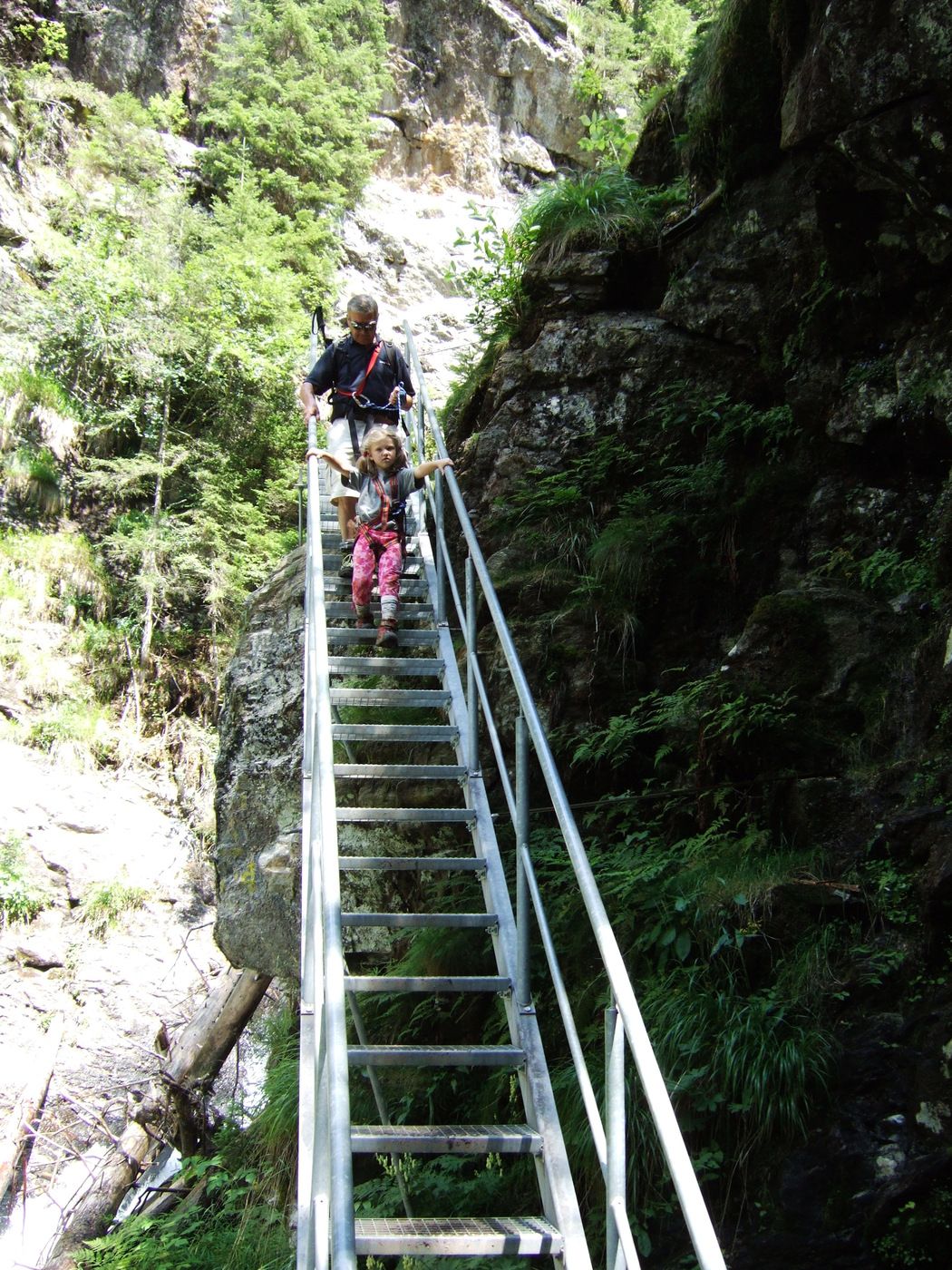
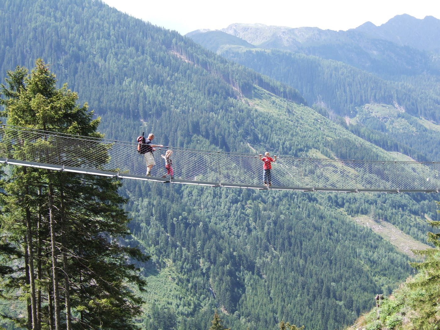
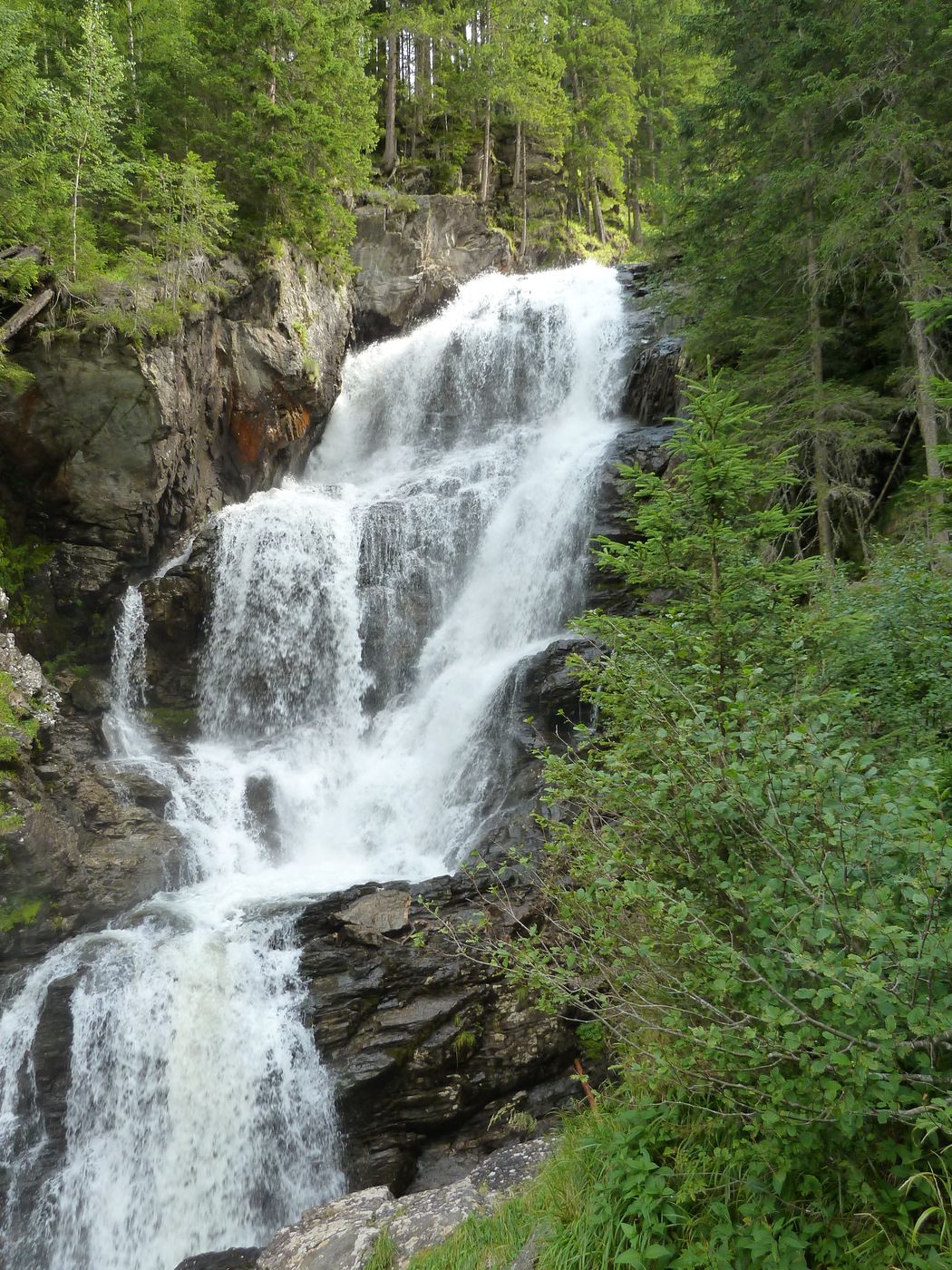
versicherter Steig über Leitern und Hängebrücken entlang des Wasserfalles bis zum Riesachsee
- Rating
-
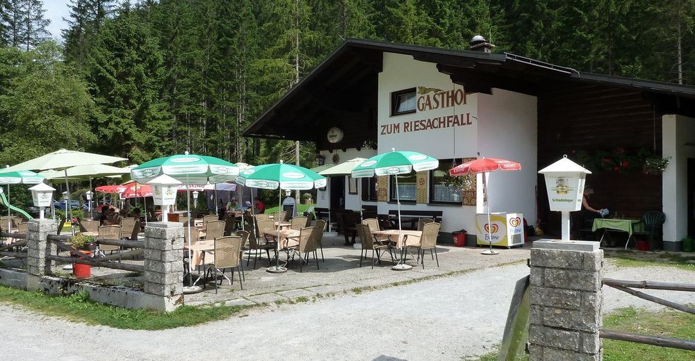
- Starting point
-
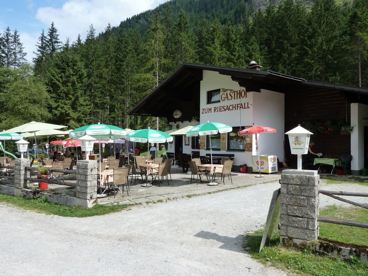
Parkplatz Untere Gföllalm, Gasthaus Riesachfall
- Route
-
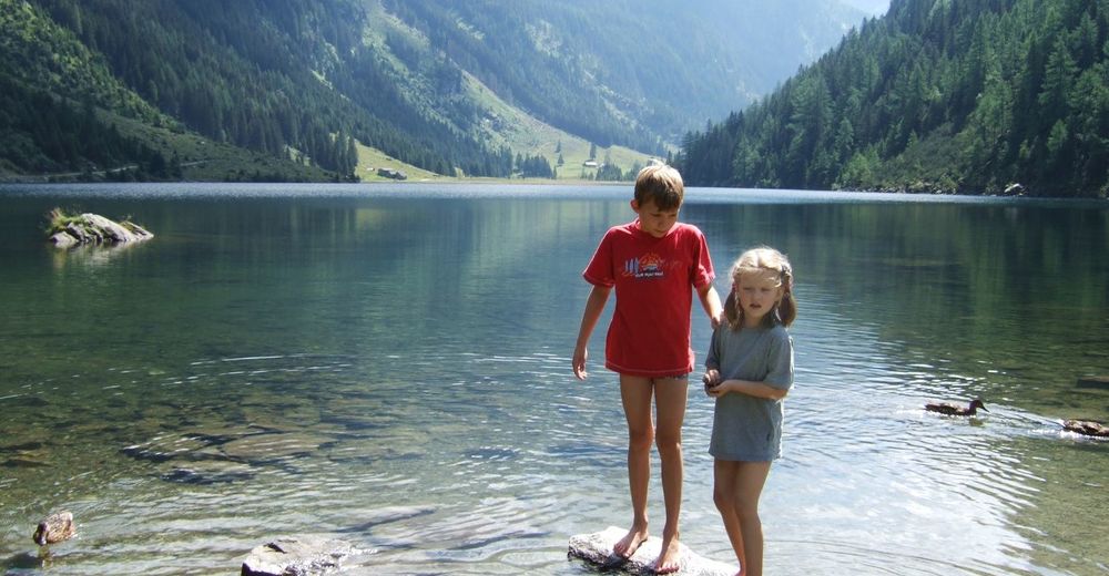
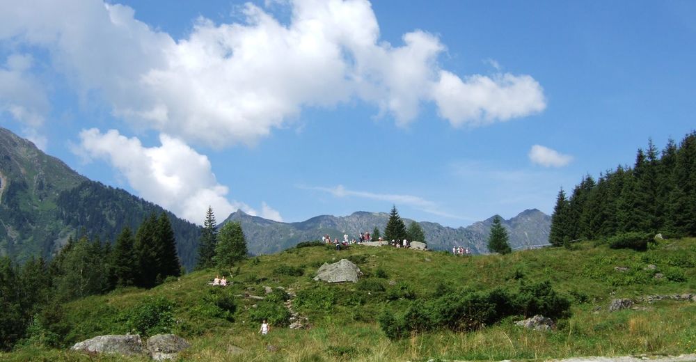
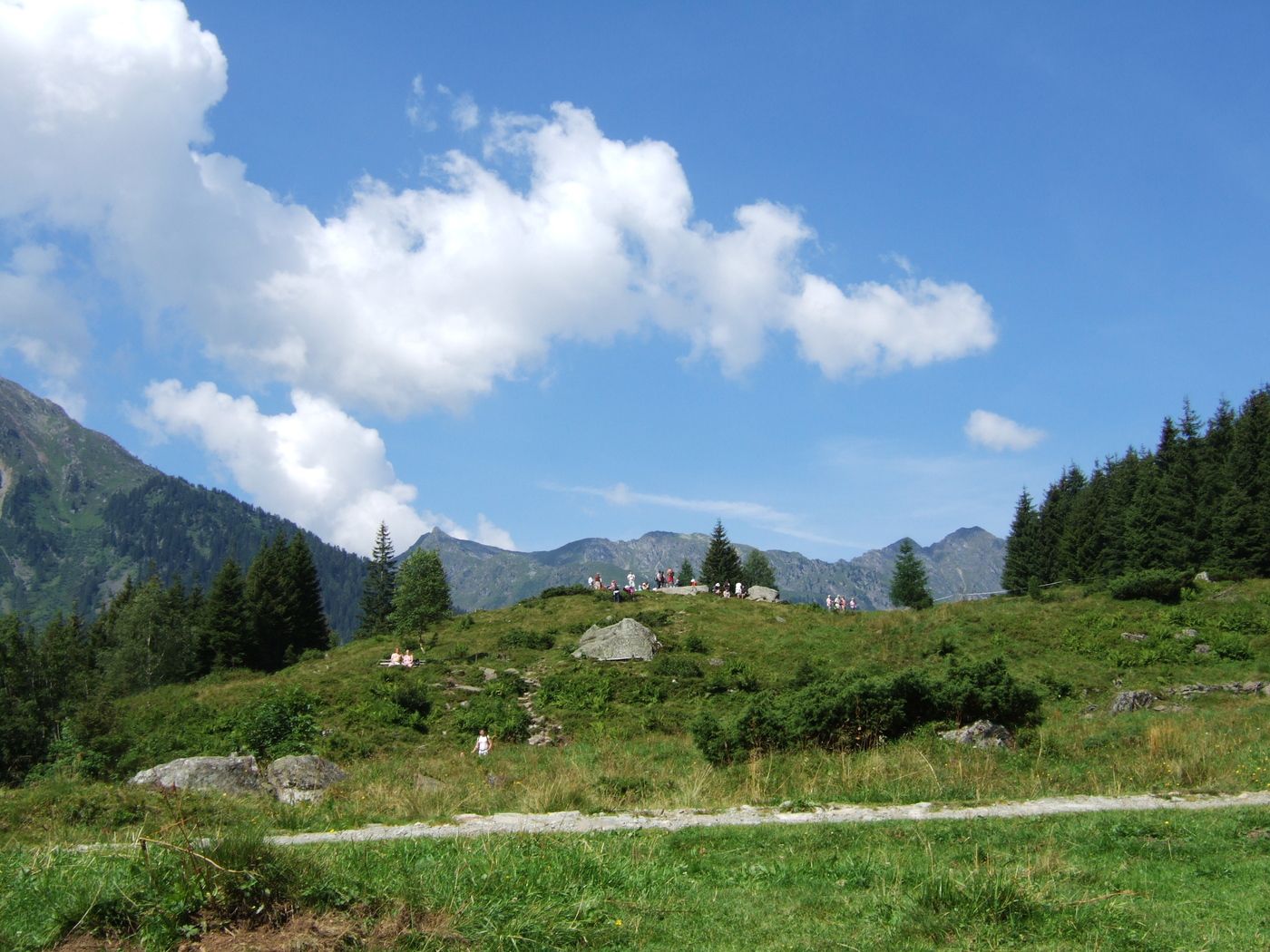
Gasthof Zum Riesachfall0.1 kmKleiner Riesachfall0.3 kmGroßer Riesachfall0.5 kmGföller Alm1.4 kmGasthof Zum Riesachfall4.6 km
- Highest point
- 1,369 m
- Rest/Retreat
-
Obere Gfölleralm, Gasthaus zum Riesachfall
- Ticket material
-
Ö.K. Nr. 127, A. V. Karte Niedere Tauern II


GPS Downloads


Trail conditions
Asphalt
Gravel
Meadow
Forest
Rock
Exposed
Other tours in the regions
-
Schladming - Dachstein
3000
-
Schladming - Rohrmoos
1478
-
Haus im Ennstal
368