


Photos from our users
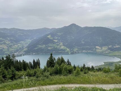
 © Peter KasparCreated on 22.06.2023
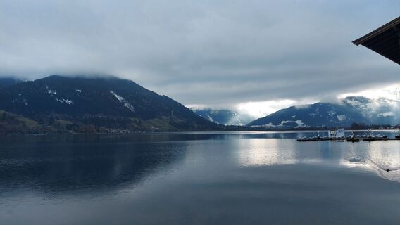
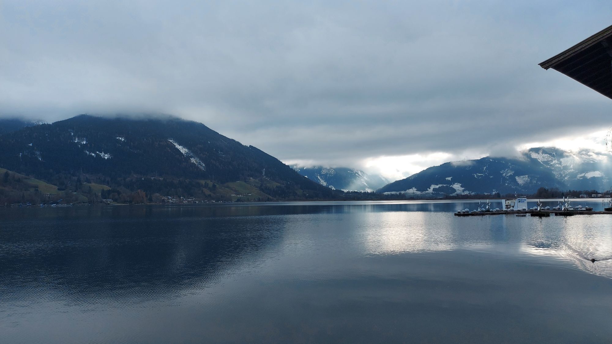
 © Hubert SellnarCreated on 01.12.2022
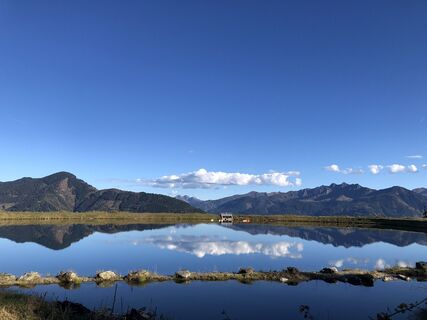 © Stella KolowratekCreated on 16.10.2022
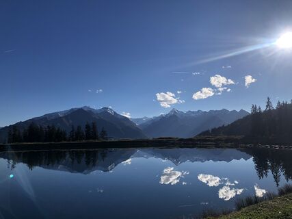 © Stella KolowratekCreated on 16.10.2022
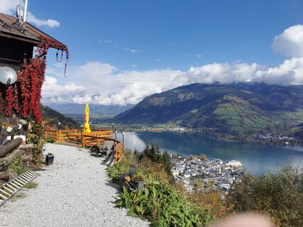
 © Linda LindauCreated on 12.10.2022
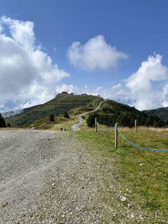
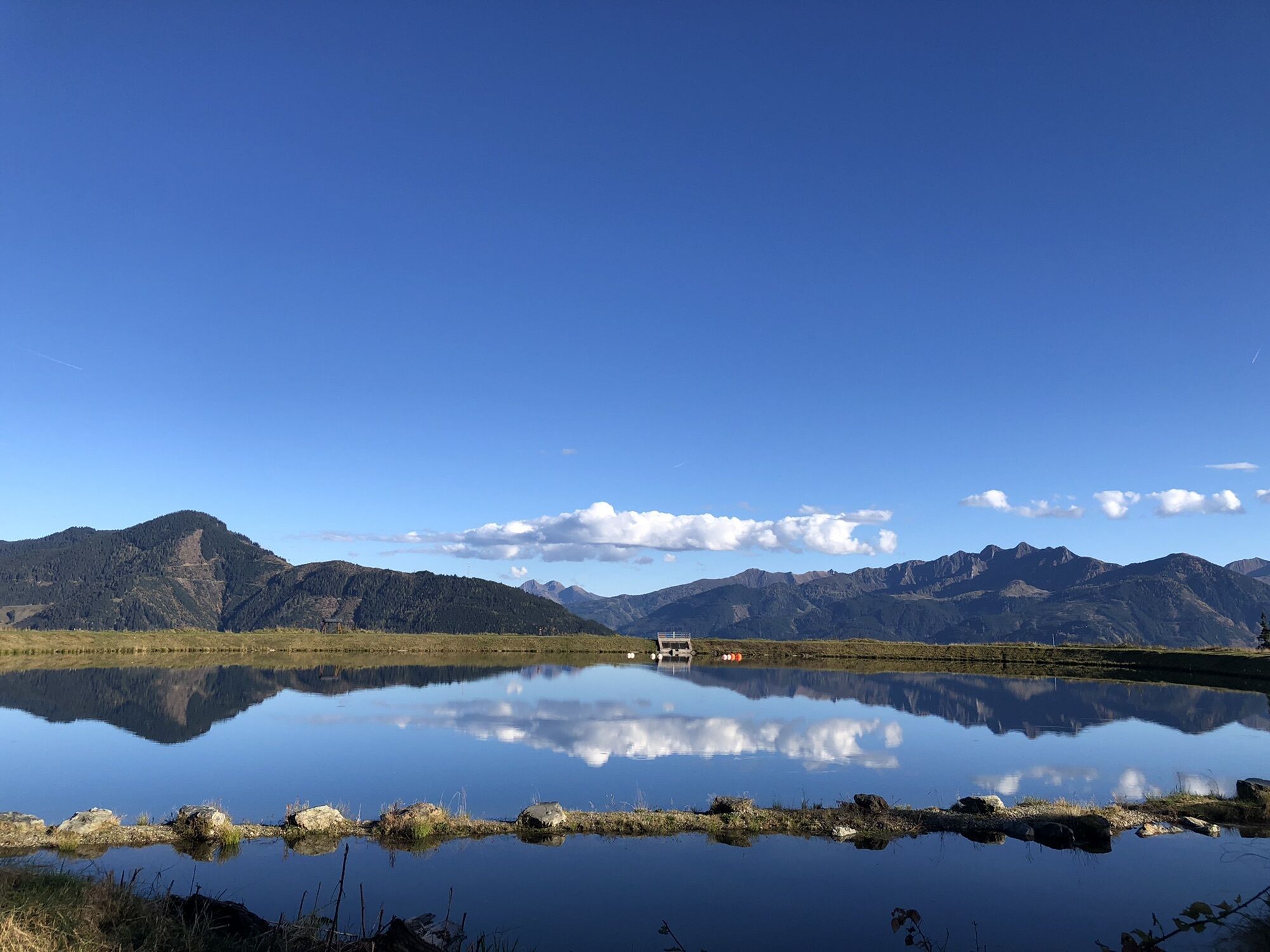
 © Oliver BarzCreated on 17.08.2024
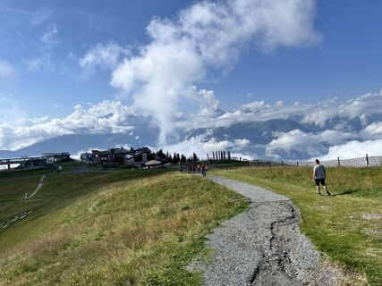 © Oliver BarzCreated on 17.08.2024
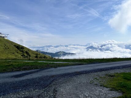 © Oliver BarzCreated on 17.08.2024
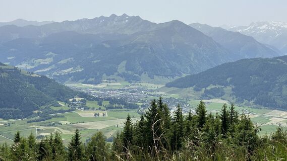
 © Horst-Dieter LutzCreated on 19.06.2024
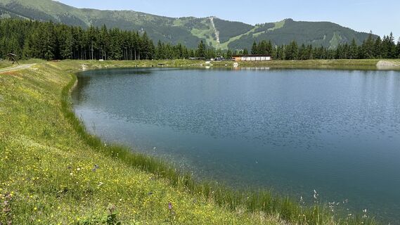 © Horst-Dieter LutzCreated on 19.06.2024
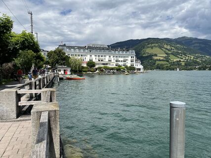
 © Susanne Johansson PantzareCreated on 17.06.2024
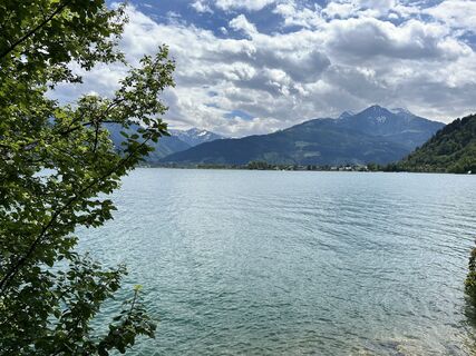 © Susanne Johansson PantzareCreated on 17.06.2024
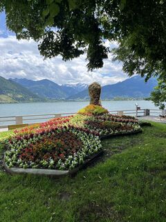 © Susanne Johansson PantzareCreated on 17.06.2024
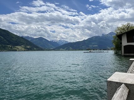 © Susanne Johansson PantzareCreated on 17.06.2024
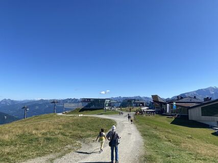
 © Margreth ReiterCreated on 05.09.2023
 © Margreth ReiterCreated on 05.09.2023
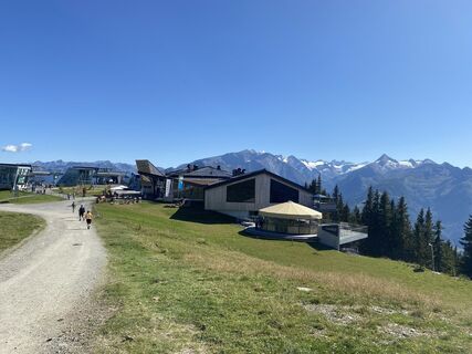 © Margreth ReiterCreated on 05.09.2023
 © Maja GriffithCreated on 15.07.2023
 © Peter KasparCreated on 22.06.2023
 © Peter KasparCreated on 22.06.2023
 © Peter KasparCreated on 22.06.2023
 © Peter KasparCreated on 21.06.2023
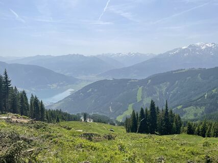 © Peter KasparCreated on 21.06.2023
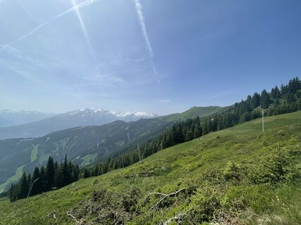 © Peter KasparCreated on 21.06.2023
 © Peter KasparCreated on 21.06.2023
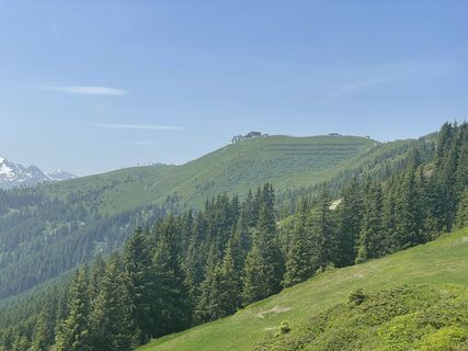 © Peter KasparCreated on 21.06.2023
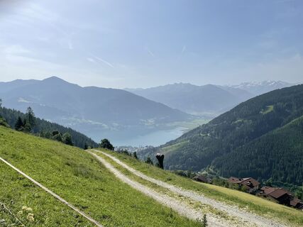 © Peter KasparCreated on 21.06.2023
 © Hubert SellnarCreated on 01.12.2022
 © Hubert SellnarCreated on 01.12.2022
 © Hubert SellnarCreated on 01.12.2022
 © Christoph SlawikCreated on 30.10.2022
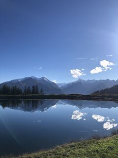 © Stella KolowratekCreated on 16.10.2022
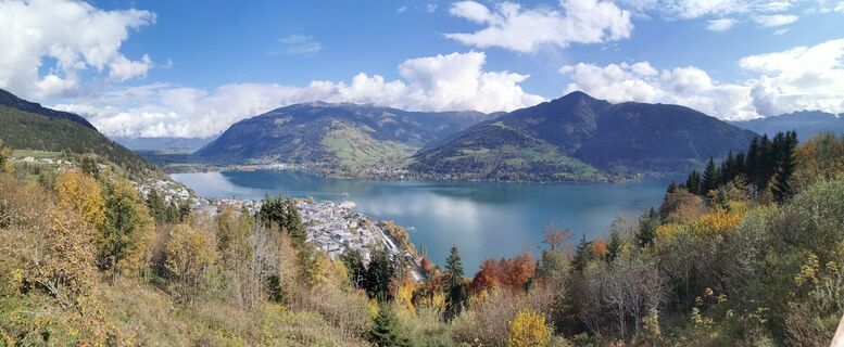 © Linda LindauCreated on 12.10.2022

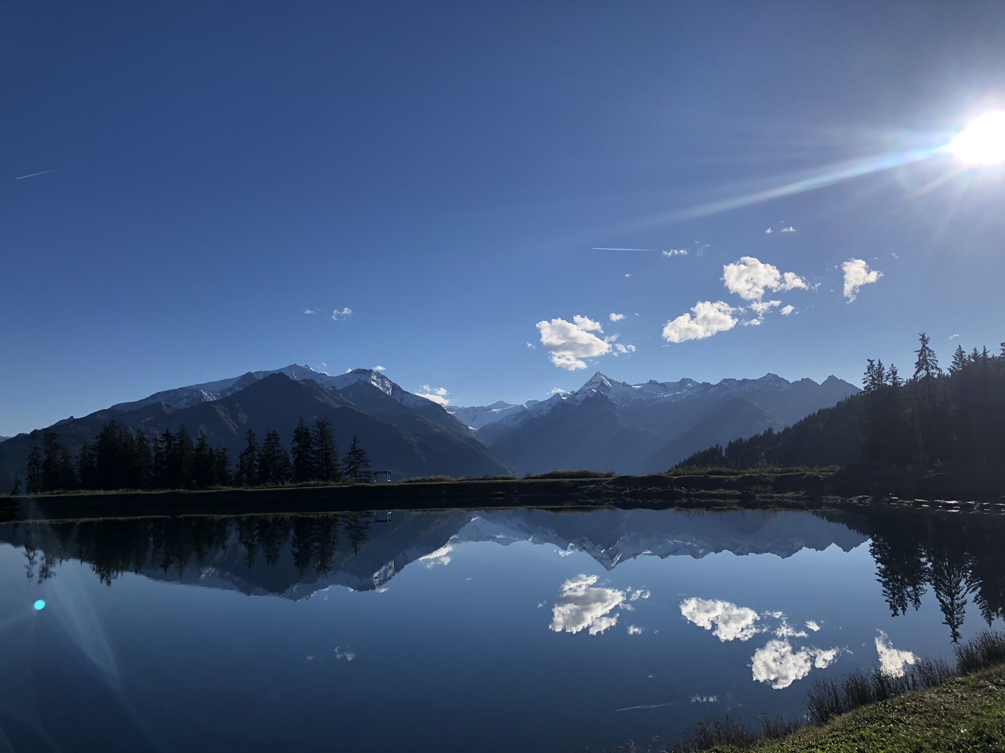


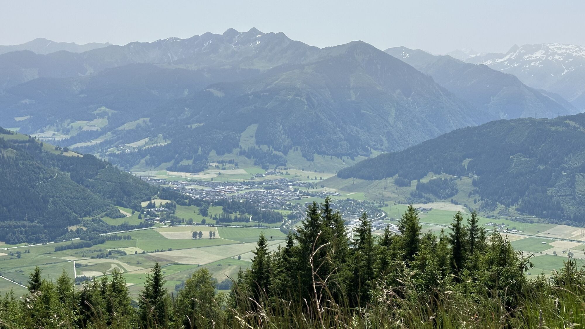


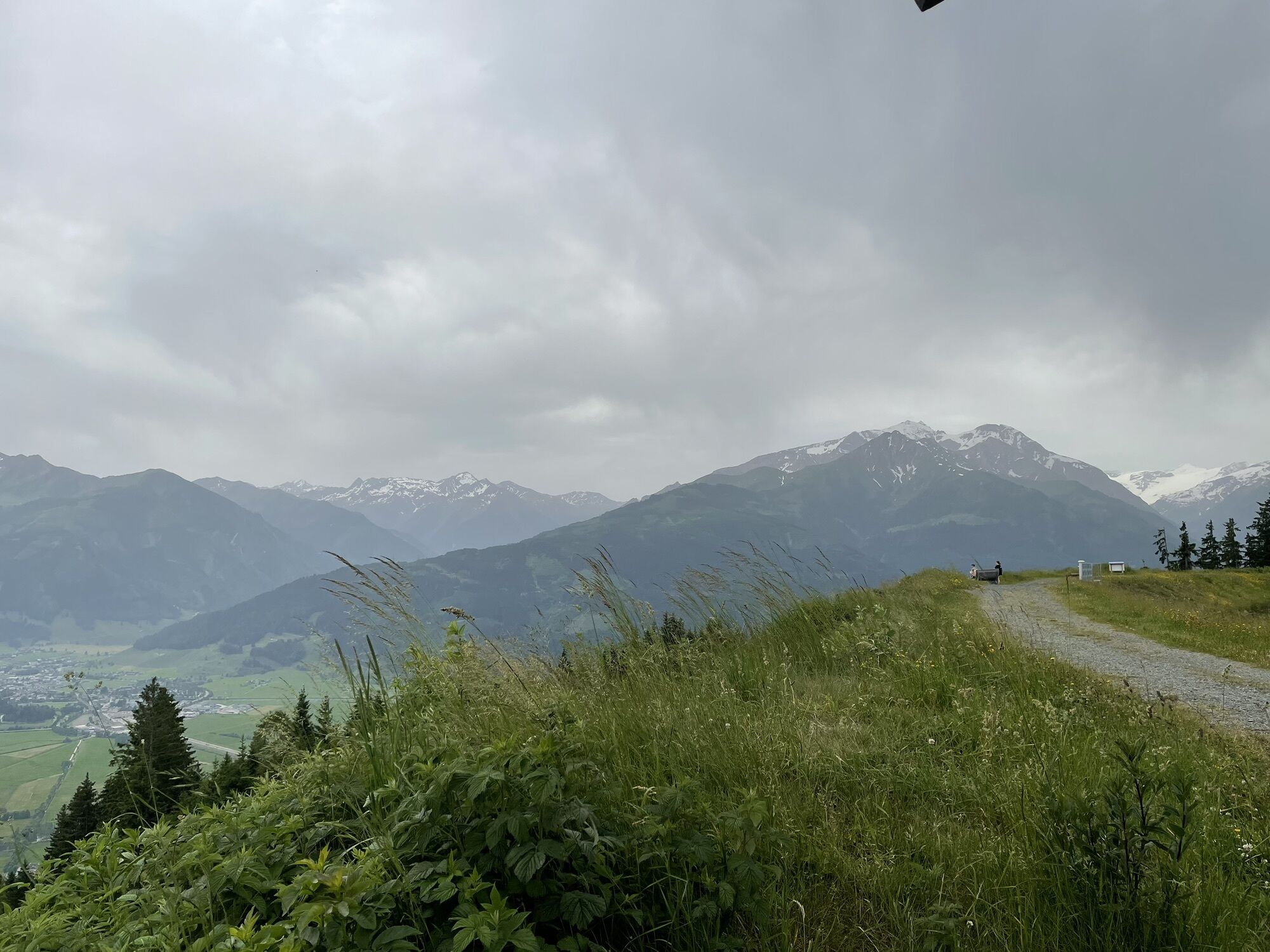

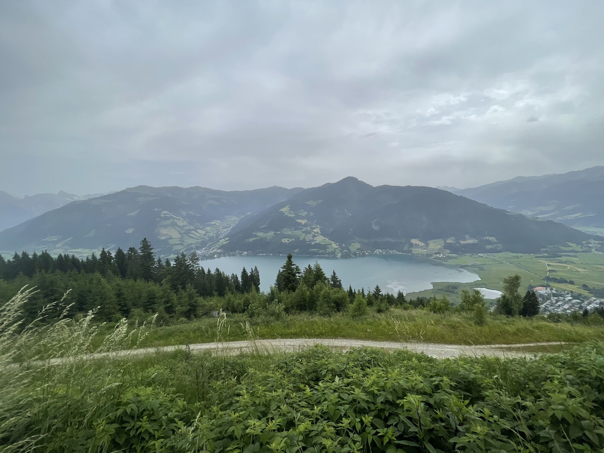


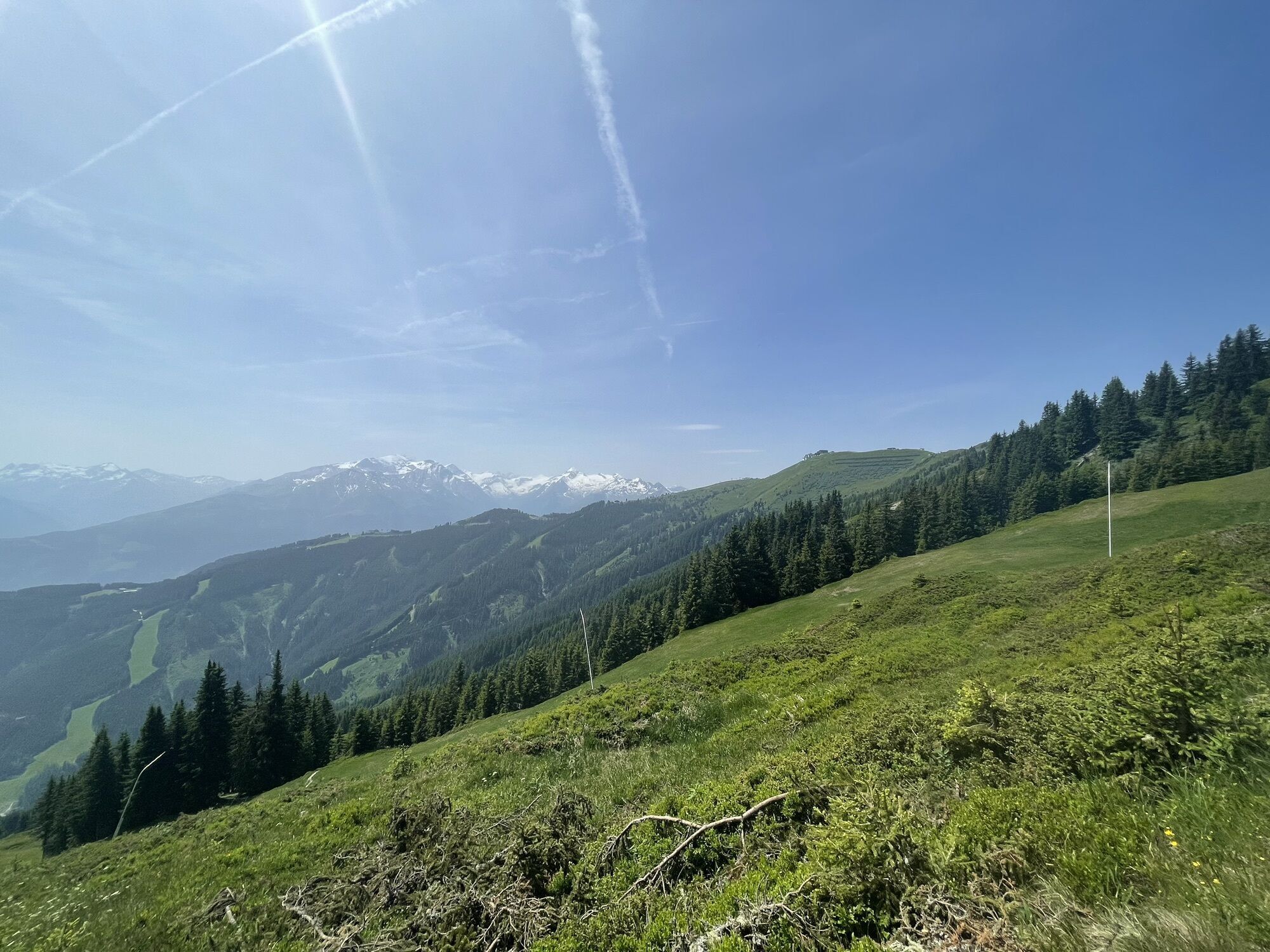
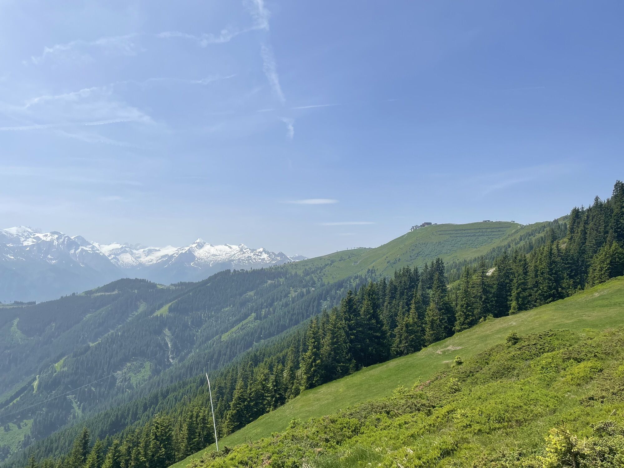


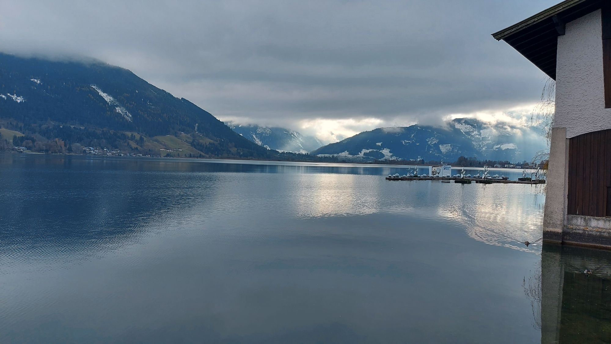


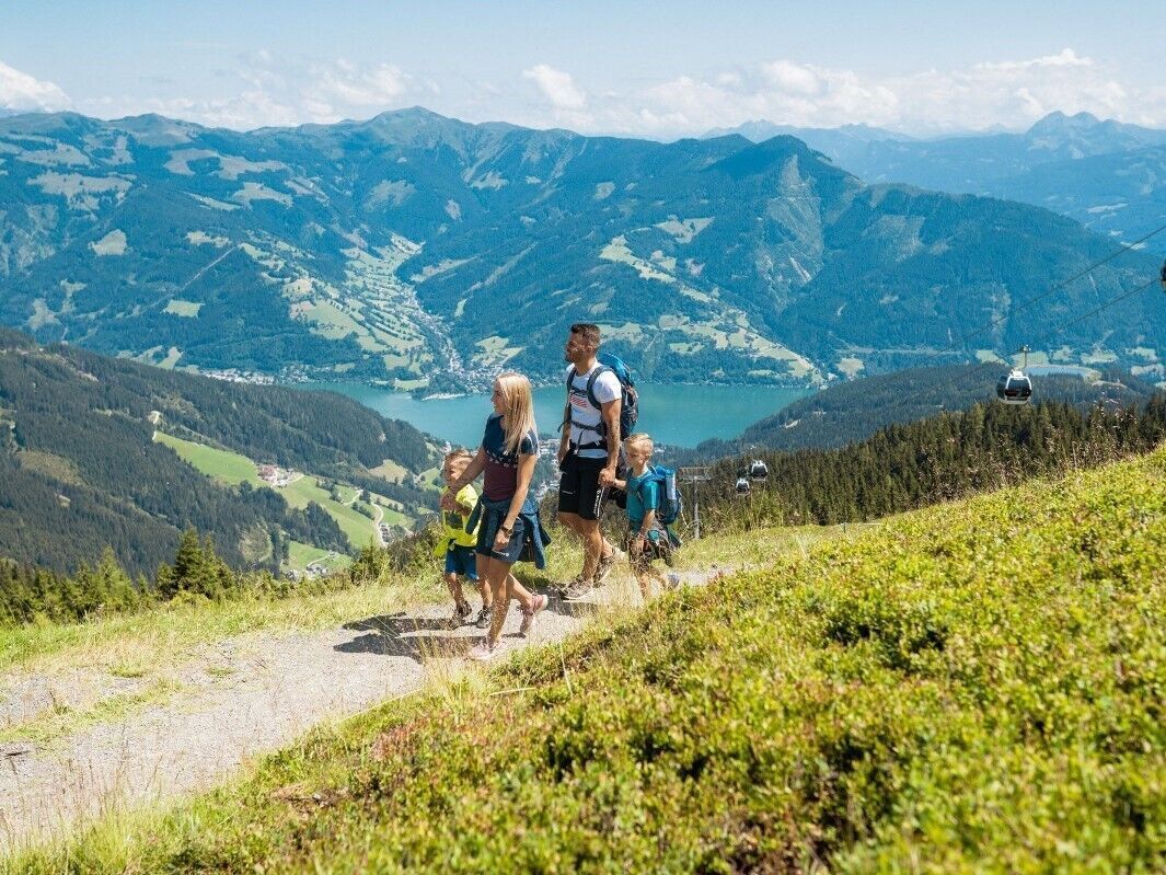
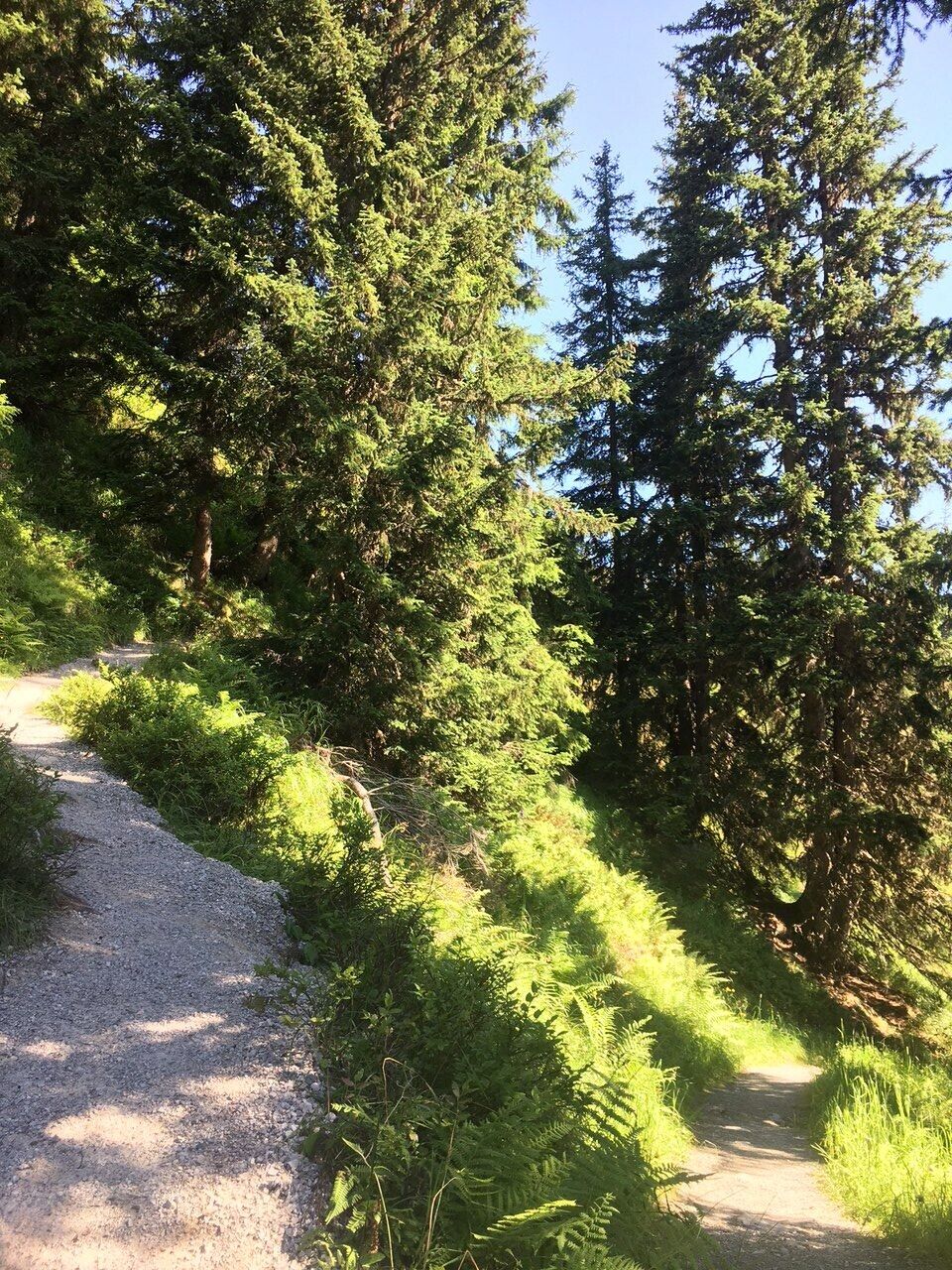
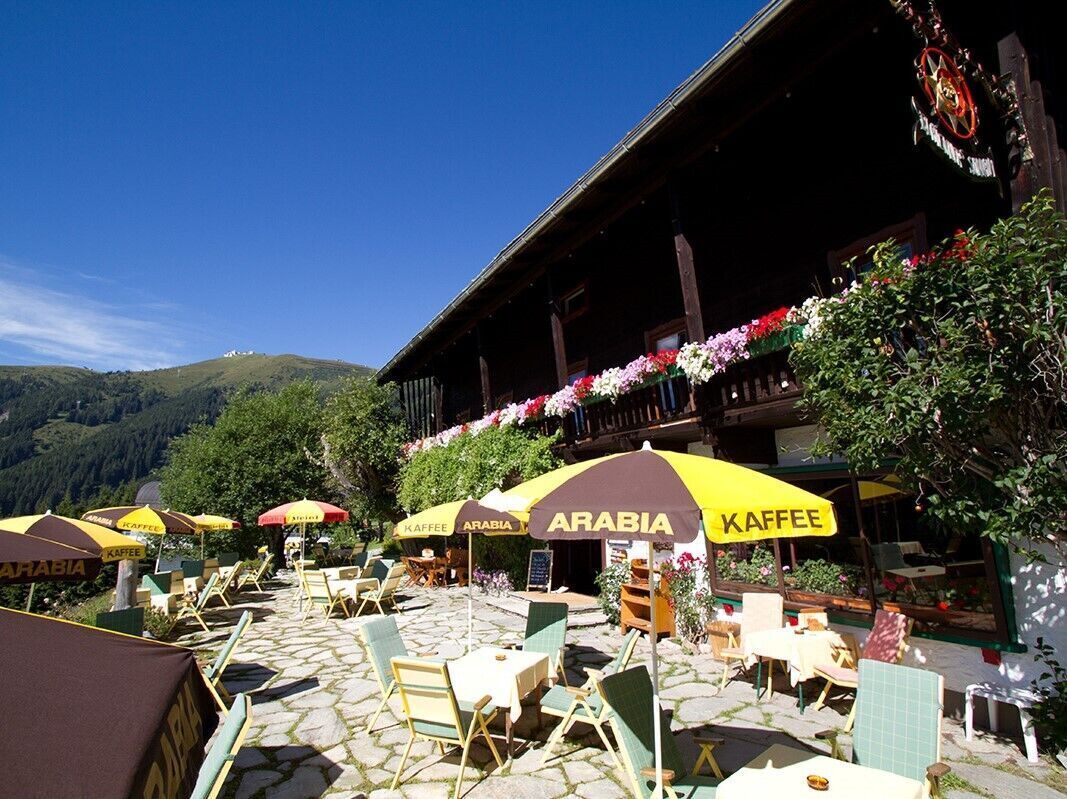
Starting from the Schmittenhöhebahn car park at the head of the Schmittental valley (access by bus), an easily accessible trail leads uphill. The trail then quickly climbs higher and soon the first views of Zell am See and Lake Zell are revealed. After about half an hour's walk, you reach the Berghotel Jaga-Alm, and the Berghotel Blaickner's Sonnalm (located next to the Sonnenalmbahn mountain railway) after a further hour. Following several hairpin bends, the Schmiedhofalm is within sight. The Sonnkogel is only a 40-minute walk away.
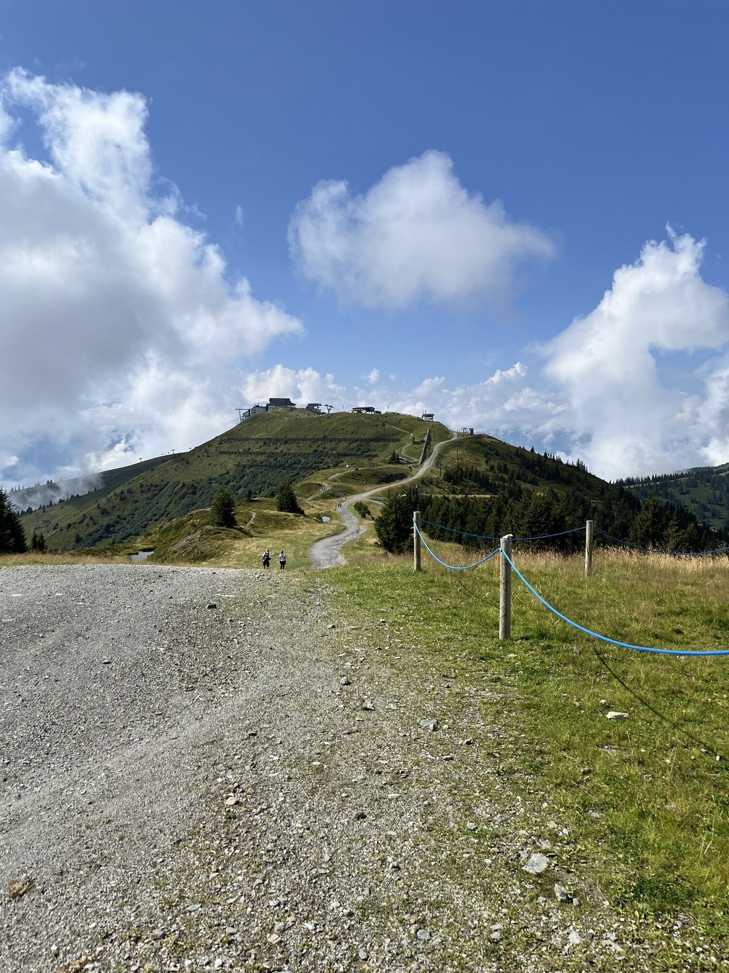
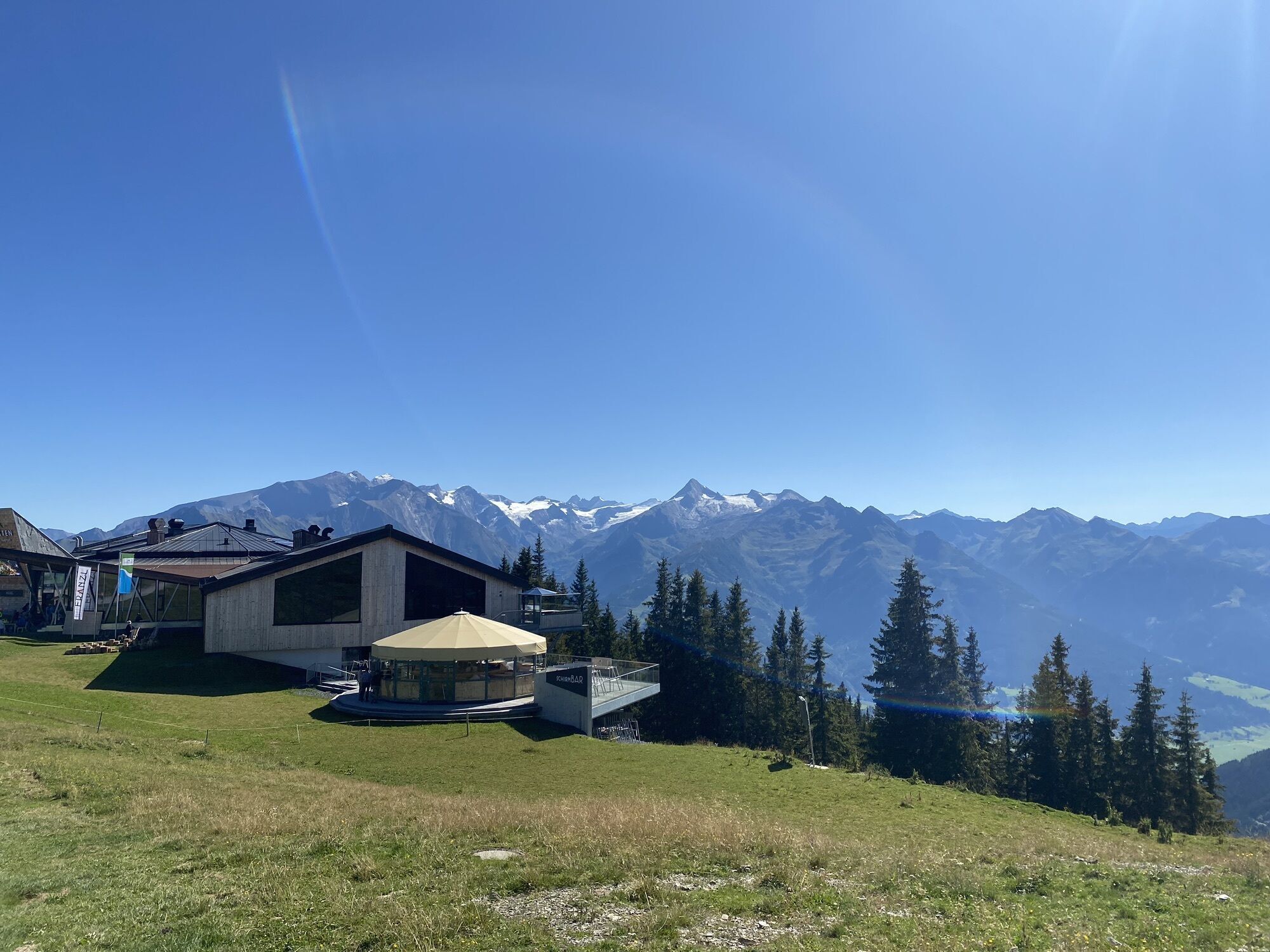
Once you reach the Sonnkogel Restaurant, the high-altitude promenade adventure trail (no. 68) begins.
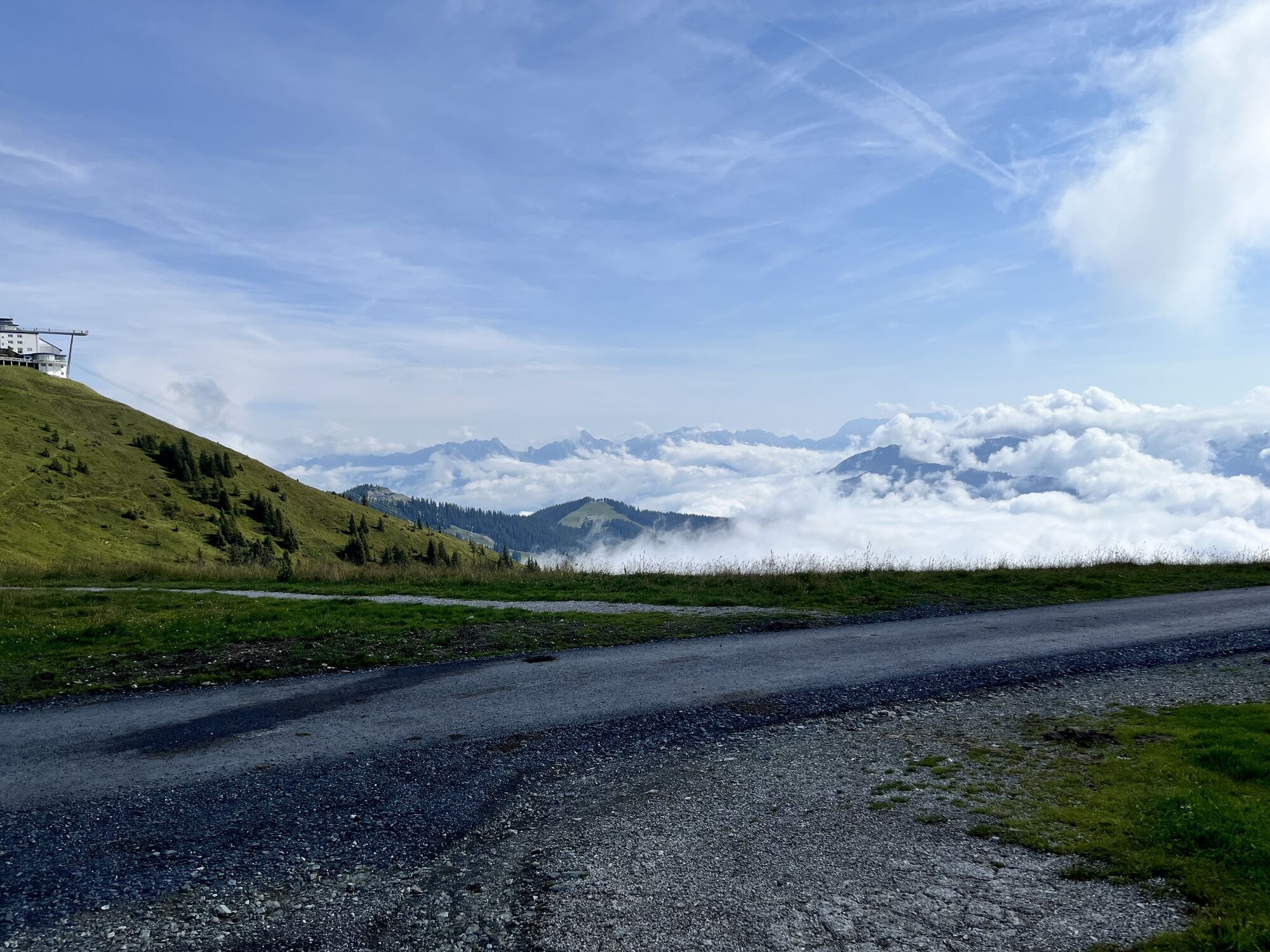
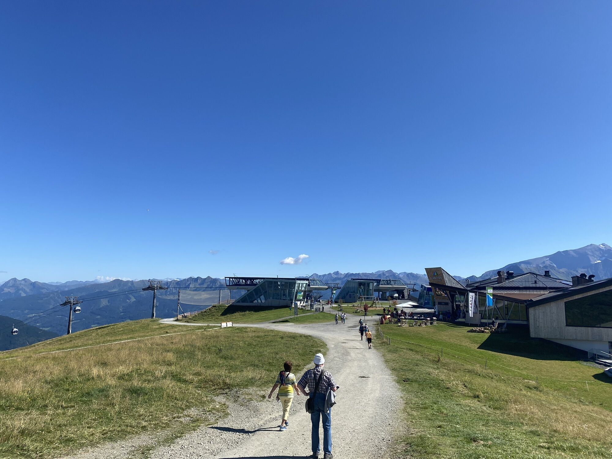
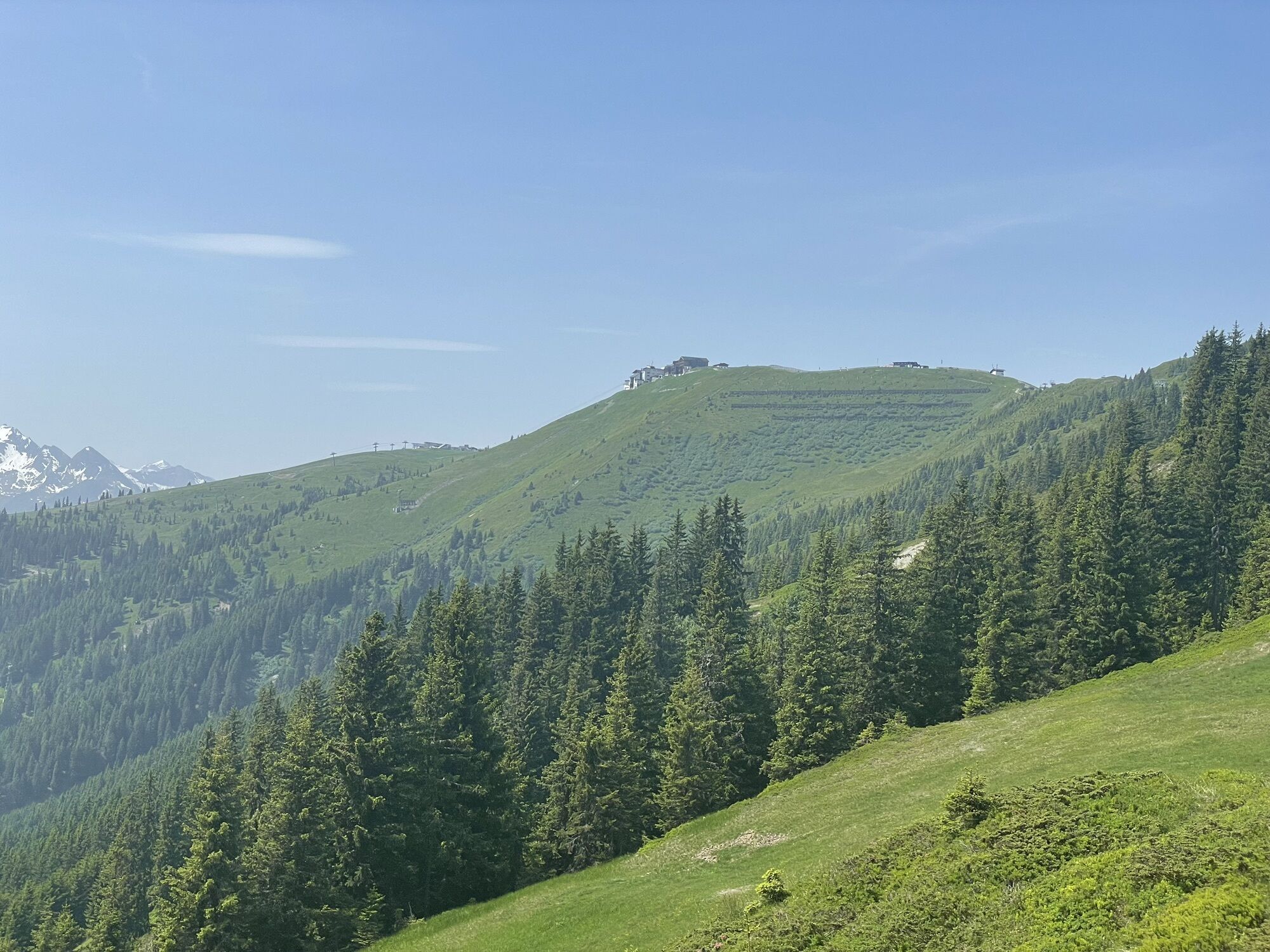
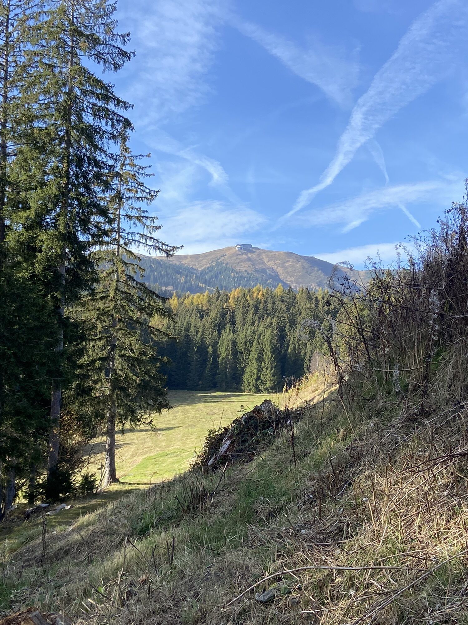
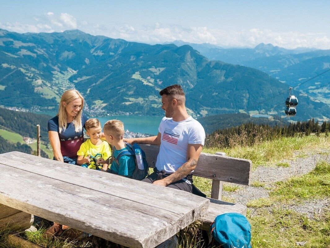
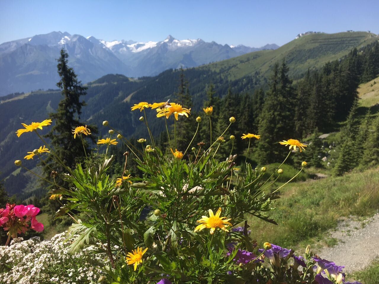
Viewing platforms, telescopes and surprise stations reveal new "Schmitten views". The trail runs along the Salersbachköpfl, a ridge depression, past the Hochzelleralm to the mountain station of the Schmittenhöhebahn cable car. From the summit of the Schmittenhöhe (1,965 m), you enjoy views of 30 three-thousand-metre-high peaks.
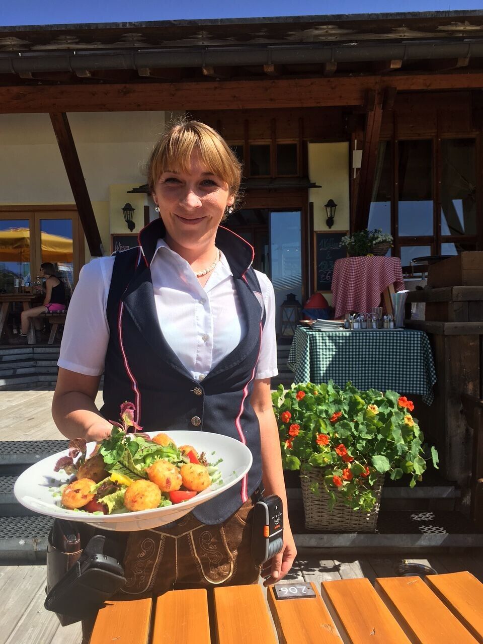
The mountain hotel is a good place to stop for refreshments (you can take the Schmittenhöhebahn downhill into the valley).
The hiking tour then leads along the mountain ridge down to the Kettingalm (no. 719 - Pinzgau Walk). There you cross an alpine meadow and continue along the "Pfaffenkendelsteig" (no. 69) to the Pinzgauer Hütte. (Overnight accommodation available).
At the end of the 1.5 km long trail, you will reach the Schmitten hiking trail (no. 50) or the Areit Trail (no. 56A, 51), both leading downhill into the valley.
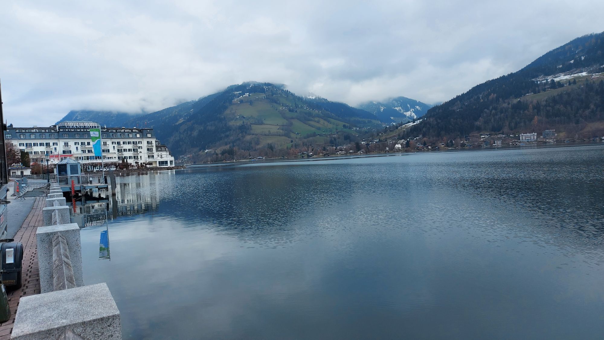
Option: Take the cityXpress downhill to the centre of Zell am See or the areitXpress to the district of Schüttdorf.
Water is of major importance - take your water bottle with you! Good food wear, protection agains rain and sun! The weather can change quickly in the mountains!
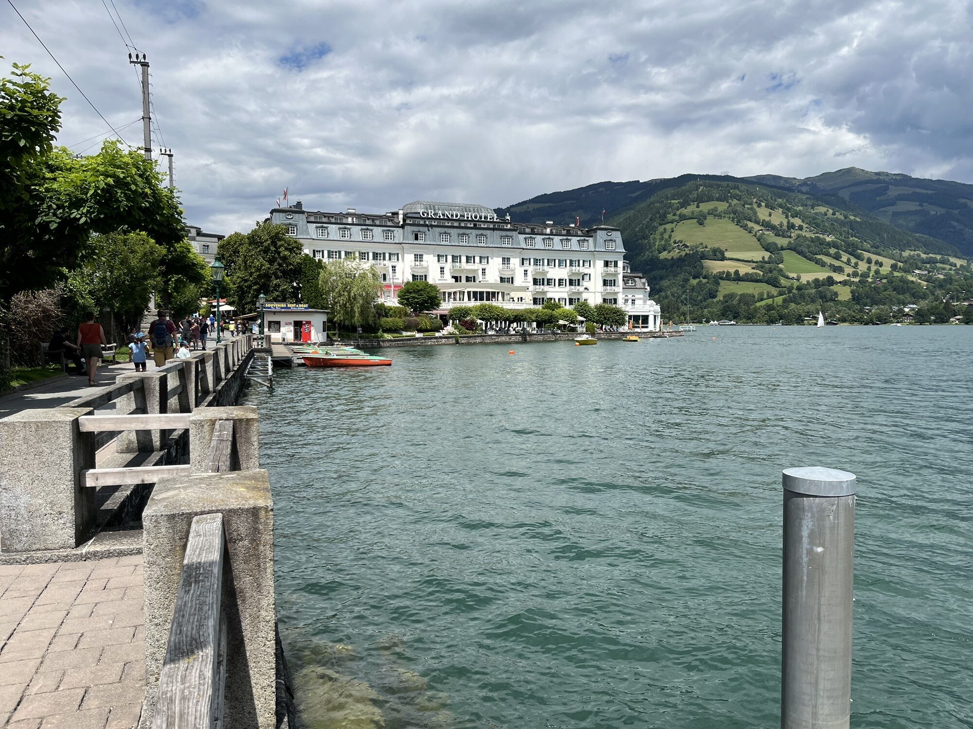
From the Postplatz in Zell am See by bus to valley station Schmittenhöhe
Bus 71
at the Schmiten parking place
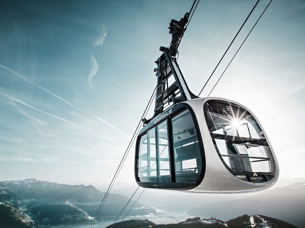
information about the opening hours of the cable cars.
Numerous wood-car-ved sculptures, thematic boards, panorama platforms, a marmot burrows, a beehive and the magnifecent 360 panorama of more than thirty 3,000 meter peaks will truly make your heart beat a little bit faster.
Popular tours in the neighbourhood
- 4.5
Birnbachloch Leogang, Österreich
mediumHiking5.18 km - 4.3
Bruck: 732+736+730 | Drei Brüder
heavyHiking16.1 km - 4.4
Sigmund Thun Klamm
lightHiking3.10 km - 4.7
Fusch: Gleiwitzer Hütte
heavyHiking8.26 km - 4.3
Family Hike Prinzensee
lightHiking4.13 km - 4.8
Sigmund Thun Klamm, Klammsee, Bürgkogel
lightHiking4.56 km - 4.4
Thumersbach, Runde um den Zeller See
lightHiking13.3 km - 4.6
Areitweg - Plettsauerkopf - Rundwanderung
mediumHiking11.8 km - 5.0
Family tour around Klamsee
lightHiking3.27 km - 4.6
Mitterberghof - Schwalbenwand Zell am See, Österreich
lightHiking13.6 km
Hiking & Tracking


Don't miss out on offers and inspiration for your next holiday
Your e-mail address has been added to the mailing list.