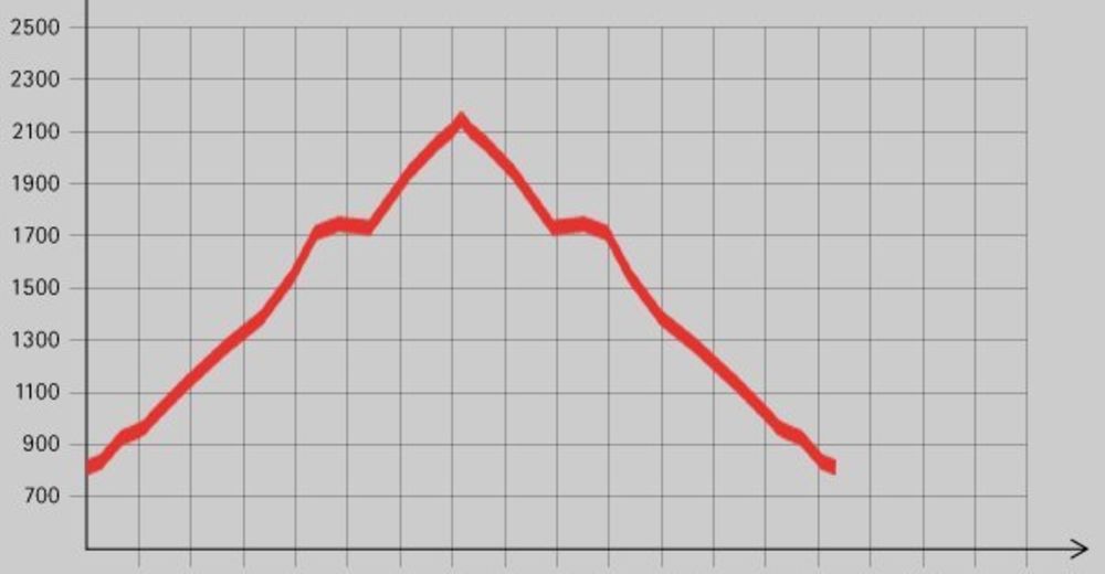
Tour data
8.26km
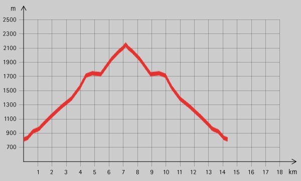
814
- 2,152m
1,300hm
6hm
06:30h
- Brief description
-
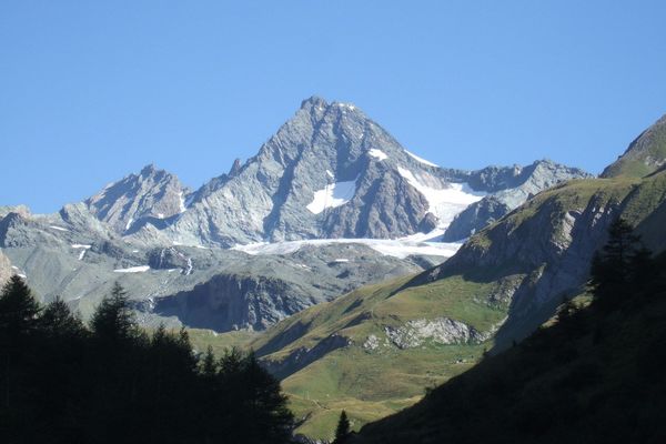
Schöne Wanderung im Glocknermassiv mit der Gleiwitzer Hütte als Ziel. Einerseits Hütten-Zustieg, andererseits schöne Tagestour!
- Difficulty
-
medium
- Rating
-
- Starting point
-
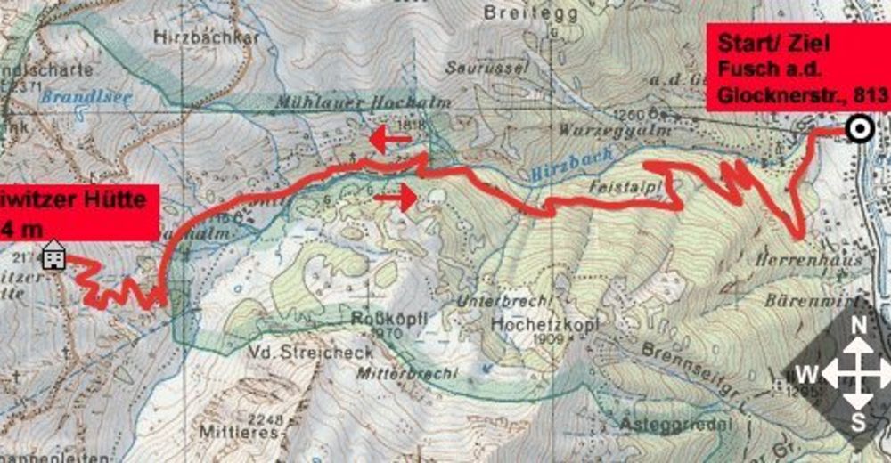
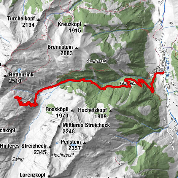
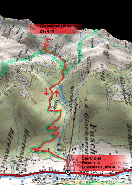
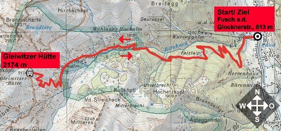
Fusch an der Glocknerstrasse (813 m)
- Route
-
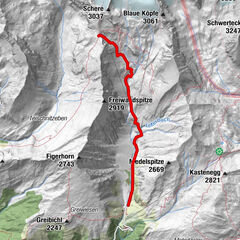
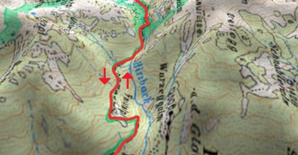
Fusch an der GroßglocknerstraßeHirzbachwasserfälle1.2 kmGleiwitzer Hütte8.3 km
- Best season
-
JanFebMarAprMayJunJulAugSepOctNovDec
- Highest point
- 2,152 m
- Rest/Retreat
-
Gleiwitzer Hütte (ÖAV, Mitte Juni bis Ende September bewirtschaftet, Tel.: 0664 / 9294989)
- Ticket material
GPS Downloads


Trail conditions
Asphalt
Gravel
Meadow
Forest
Rock
Exposed
Other tours in the regions