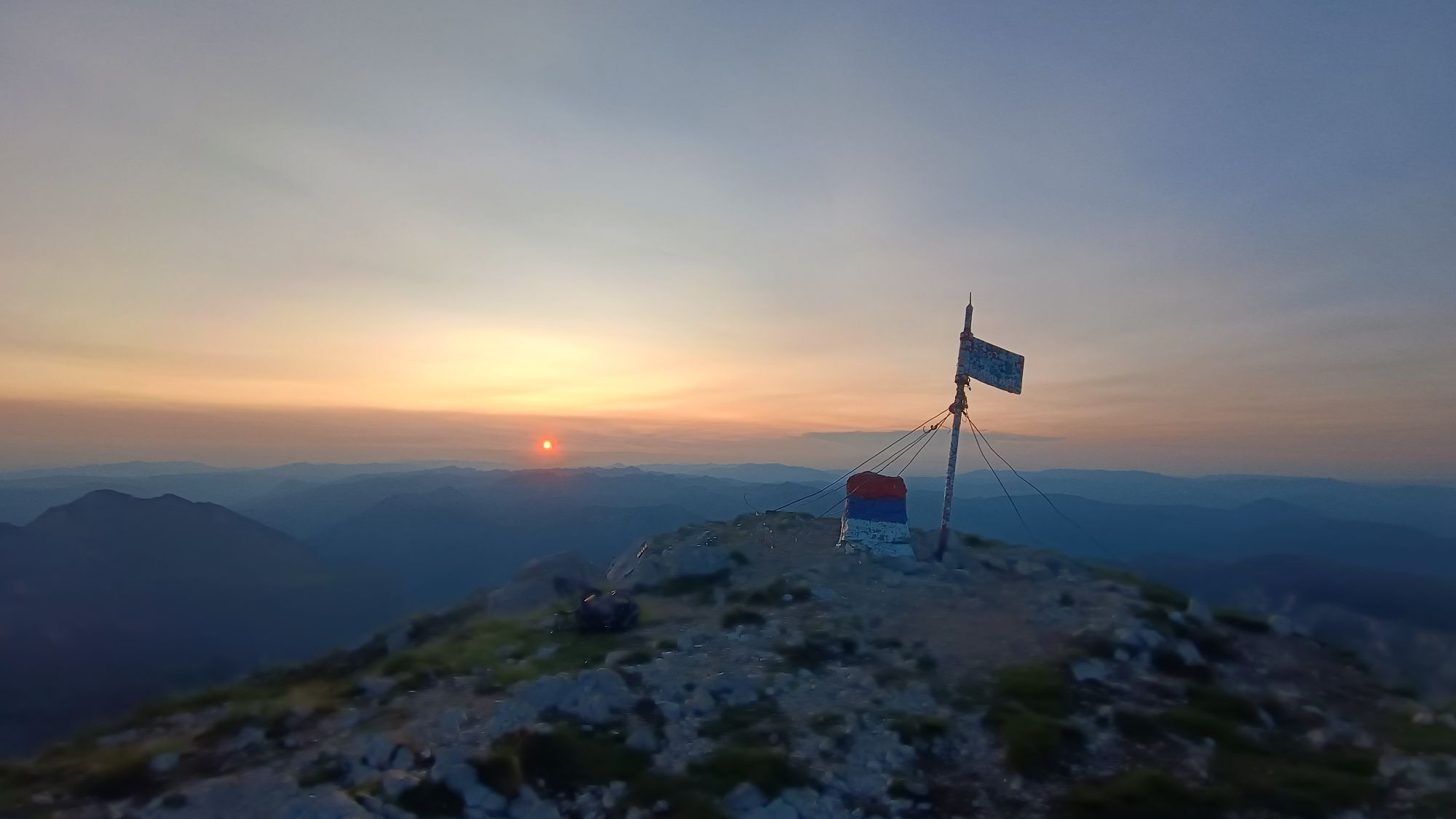
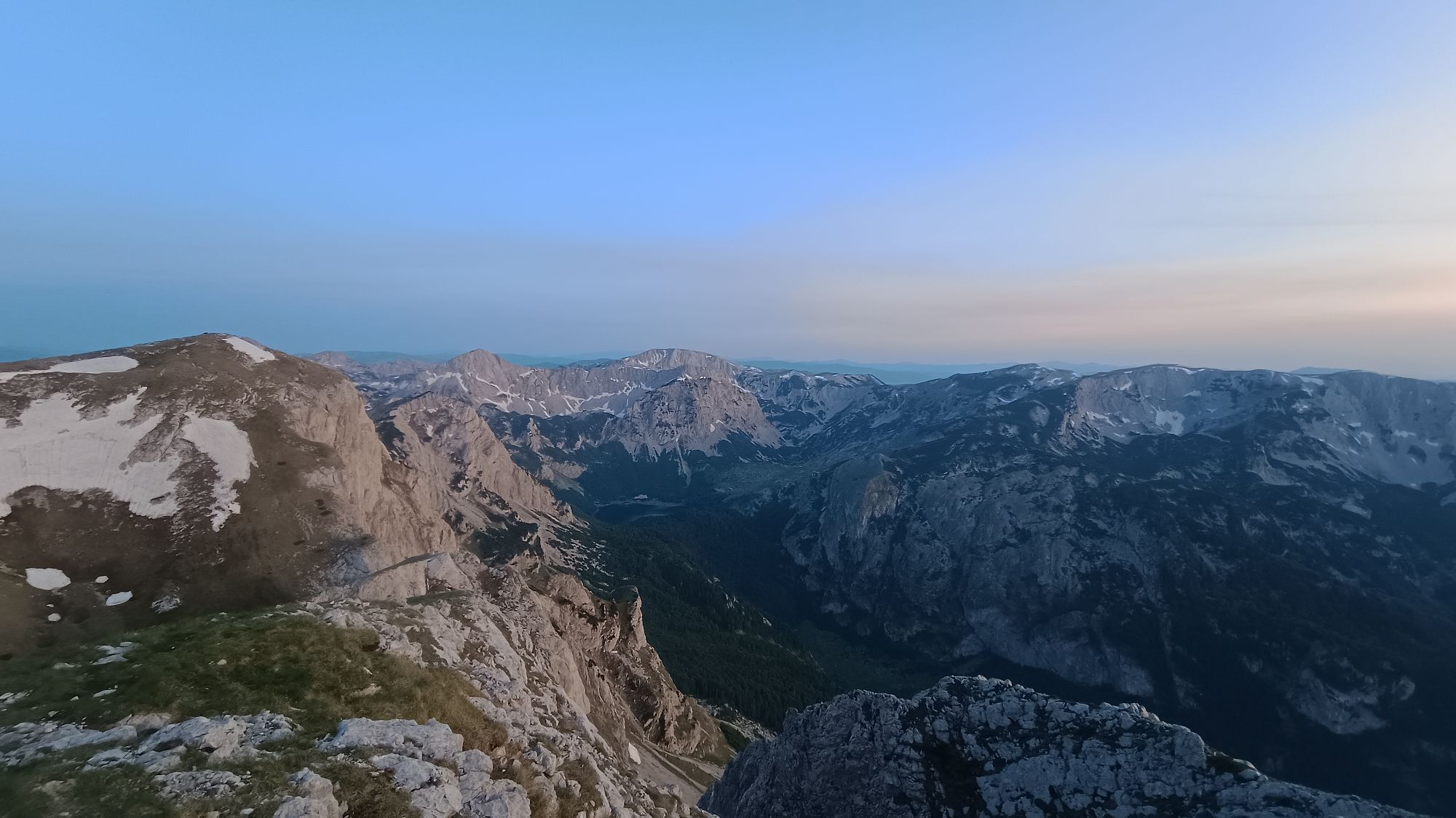
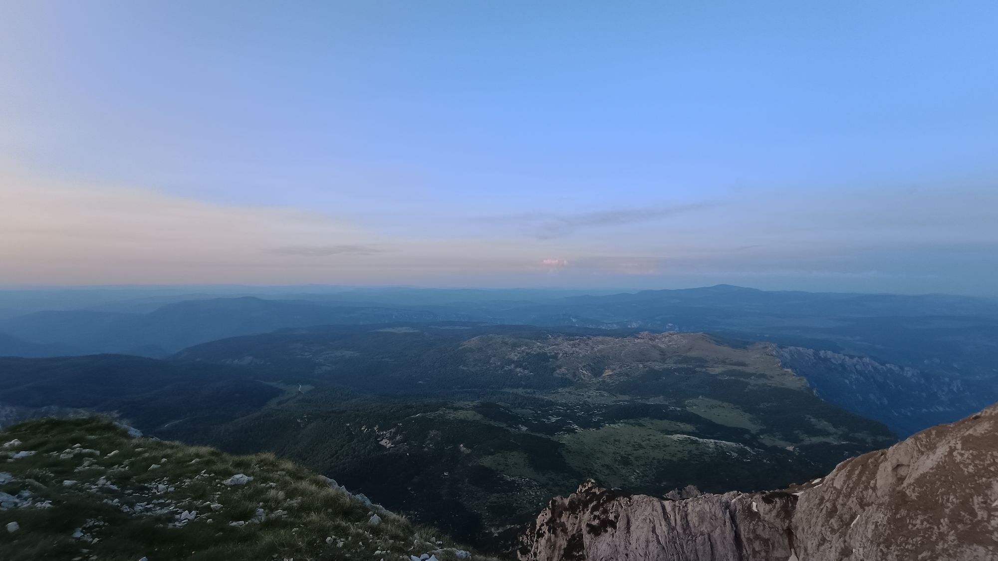
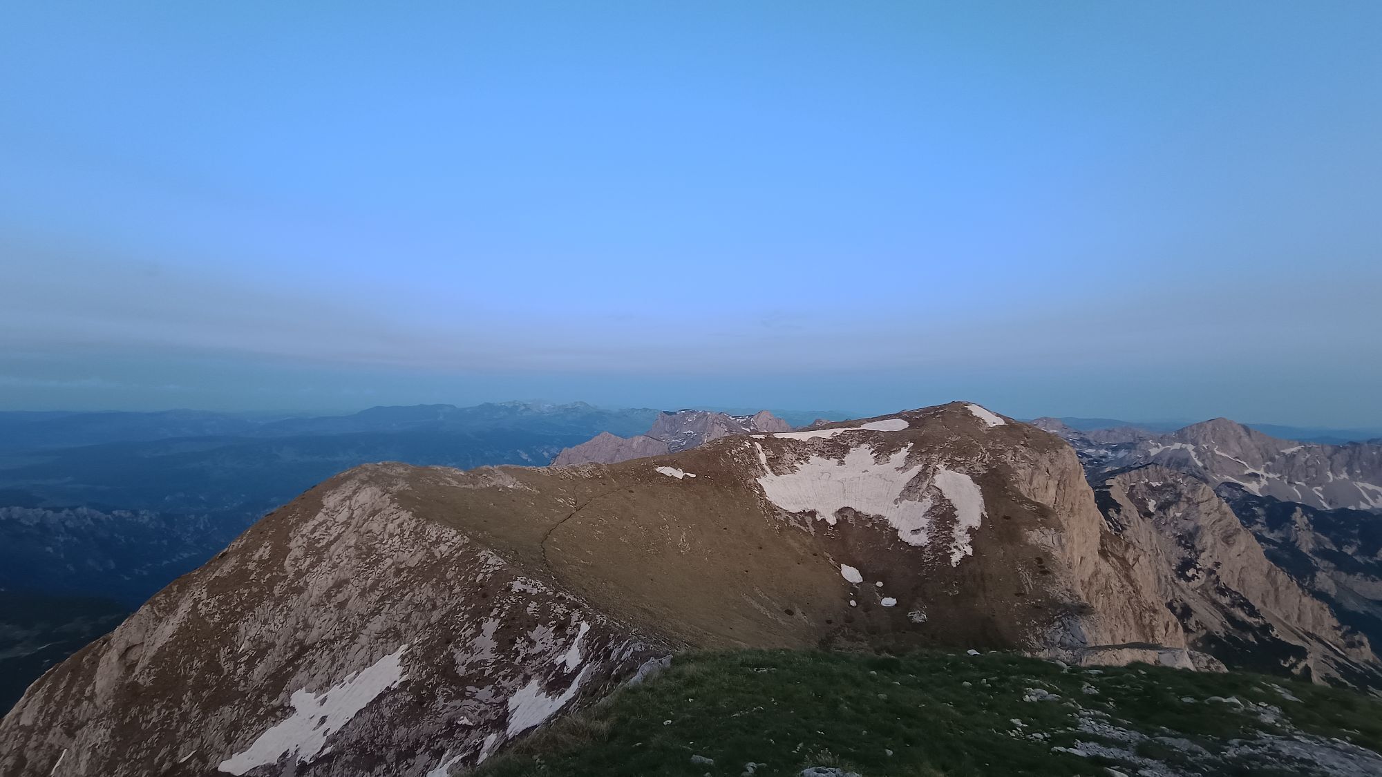
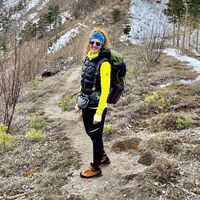
Maglic Bosnien und Herzegowina und Montenegro
heavy
Navigate
Navigate
Get this tour on your mobile
Maglic Bosnien und Herzegowina und Montenegro
heavy
Hiking
13,77
km
Scan the QR code and start navigation in the bergfex app

Hiking & Tracking


Distance
13,77
km
Duration
05:17
h
Ascent
1.149
m
Sea level
1.366 -
2.387
m
Track download
Maglic Bosnien und Herzegowina und Montenegro
heavy
Hiking
13,77
km


Route
Route
Maglic Bosnien und Herzegowina und Montenegro
heavy
Hiking
13,77
km

No reviews yet
Popular tours in the neighbourhood
- 5,0
Maglic (BiH) nw Wand (2386m) plus Herzerl-See (MNE)
heavyHiking12,3 km Maglic
heavyHigh tour12,6 km- 4,0
Volujak
mediumMountain hiking28,4 km - 5,0
Maglic, 2386m, Top of Bosnia
mediumHiking9,90 km Maglić & Veliki Maglić
mediumHiking19,2 kmТјентиште - Maglić - Veliki Maglić - Opština Plužine
heavyMountain hiking12,4 kmТјентиште - Maglić - Veliki Maglić - Opština Plužine
Mountain hiking12,5 km- 4,0
Тјентиште - Maglić - Veliki Maglić - Opština Plužine
Cycling12,4 km Kovačev panj - Borić - Тјентиште
Hiking9,25 kmИзгори - Бадњине - Veliki Oštrikovac - Papin do
mediumHiking14,7 km
Hiking & Tracking

Over 550.000 tour suggestions, detailed maps and an intuitive route planner make the app a must-have for all nature enthusiasts.

Don't miss out on offers and inspiration for your next holiday
Subscribe to the newsletter
Error
An error has occurred. Please try again.Thank you for your registration
Your e-mail address has been added to the mailing list.
Tours throughout Europe
Austria Switzerland Germany Italy Slovenia France Netherlands Belgium Poland Liechtenstein Czechia Slovakia Spain Croatia Bosnia and Herzegovina Luxembourg Andorra Portugal Iceland United Kingdom Ireland Greece Albania North Macedonia Malta Norway Montenegro Moldova Kosovo Hungary San Marino Romania Estonia Latvia Belarus Cyprus Lithuania Serbia Bulgaria Monaco Denmark Sweden Finland