© Michael Kleinsasser

© Michael Kleinsasser

© Michael Kleinsasser

© Michael Kleinsasser

© Michael Kleinsasser

© Michael Kleinsasser
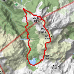
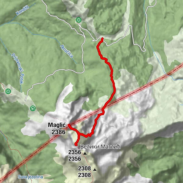
Tour data
9.9km
1,640
- 2,386m
860hm
860hm
04:21h
- Brief description
-
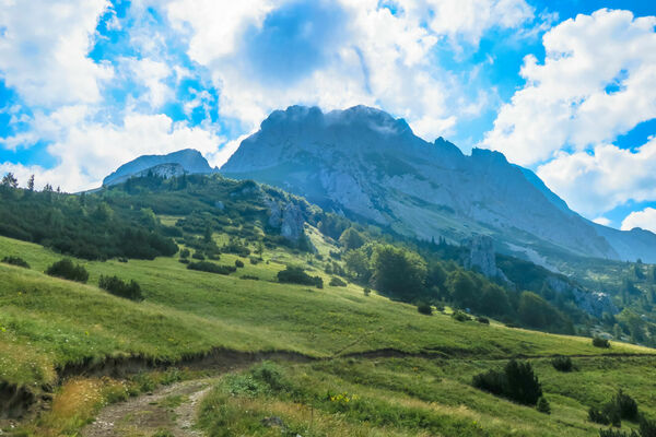
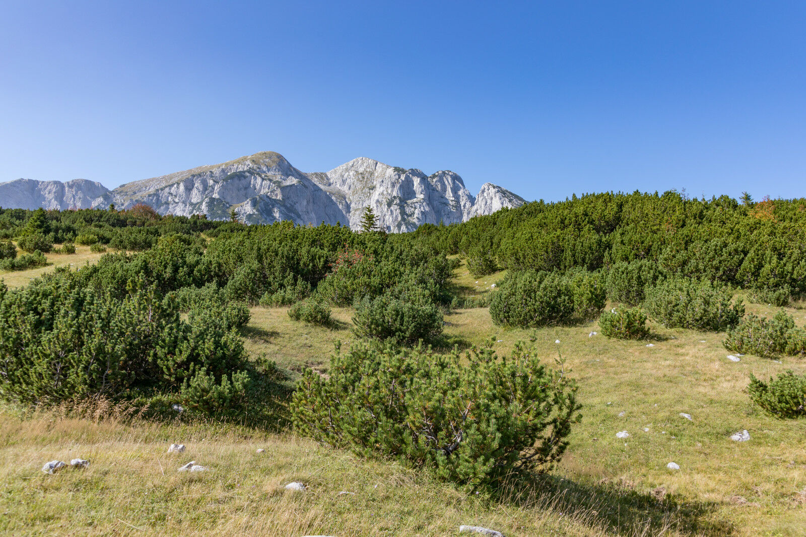
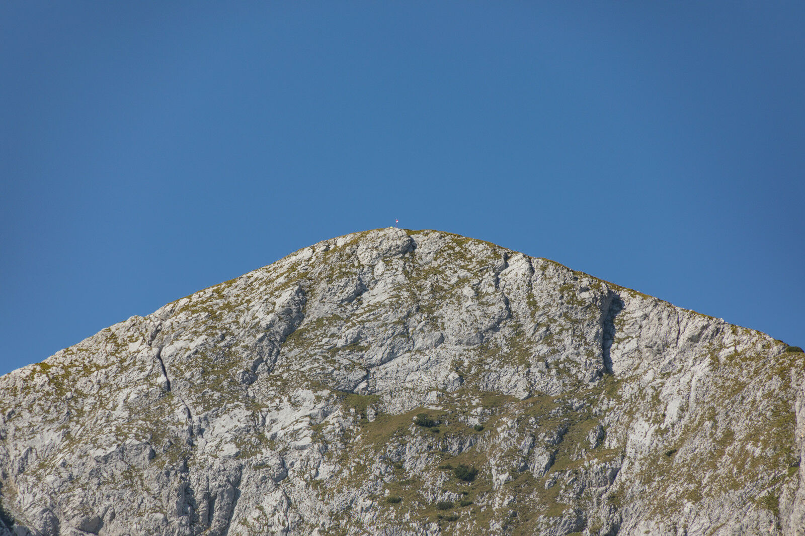
Auf das Dach von Bosnien
- Difficulty
-
medium
- Rating
-
- Starting point
-
pp
- Route
-
Maglić (2,386 m)4.5 kmVeliki Maglić (2,389 m)5.5 km
- Best season
-
JanFebMarAprMayJunJulAugSepOctNovDec
- Highest point
- Maglic (2,386 m)
- Endpoint
-
Oblik
- Rest/Retreat
-
keine


- Source
- Mike
GPS Downloads


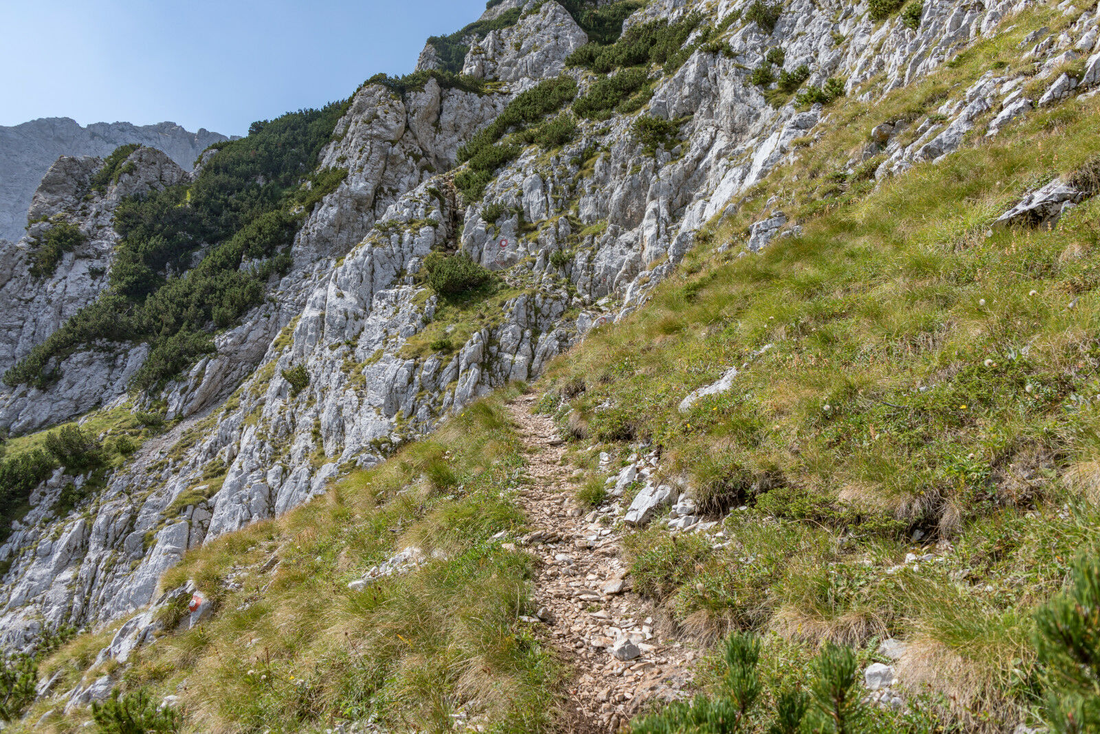
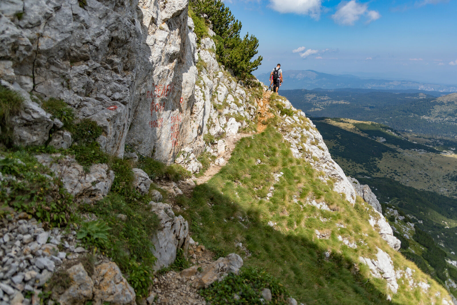
Trail conditions
Asphalt
Gravel
Meadow
Forest
Rock
Exposed