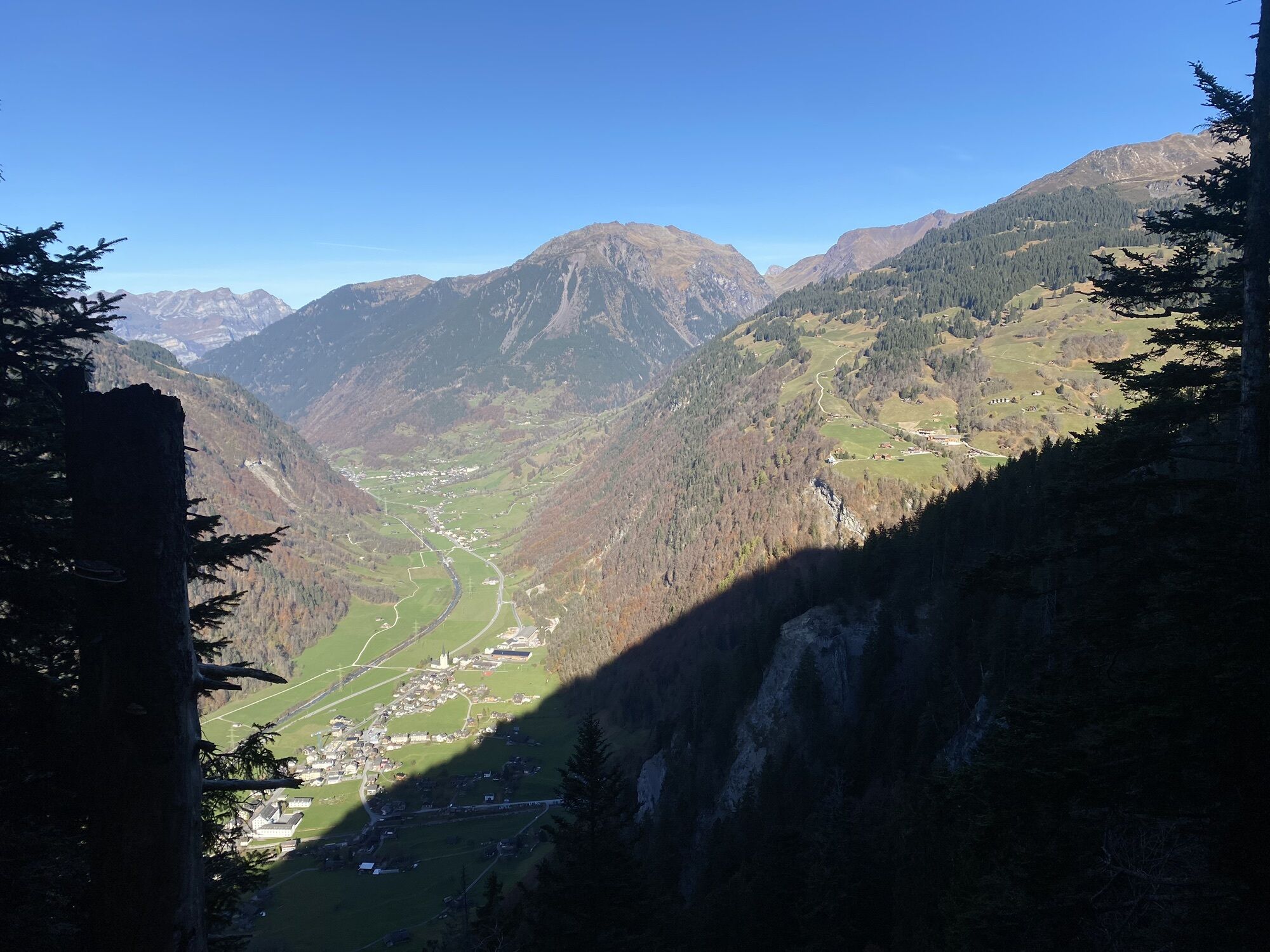
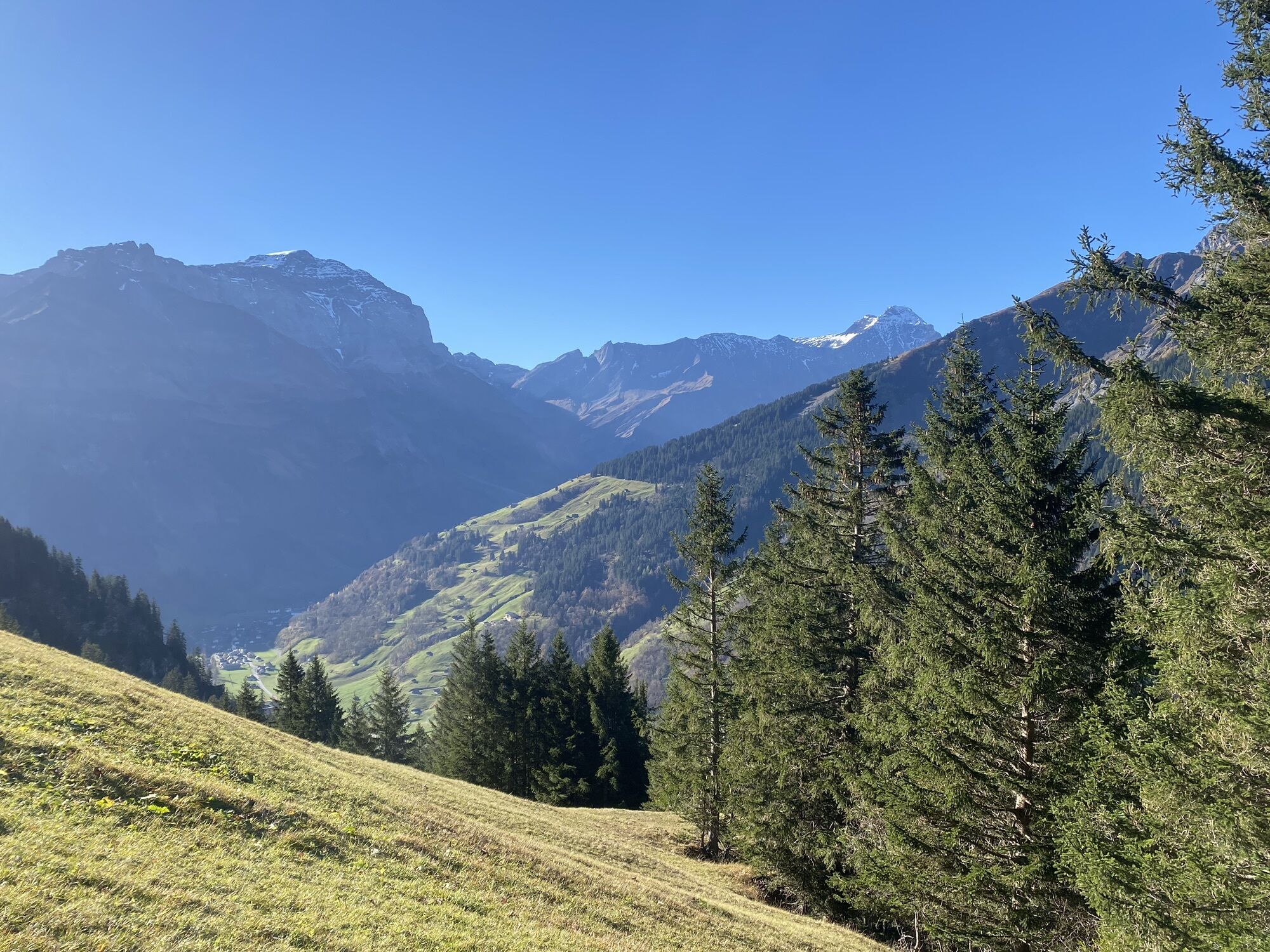
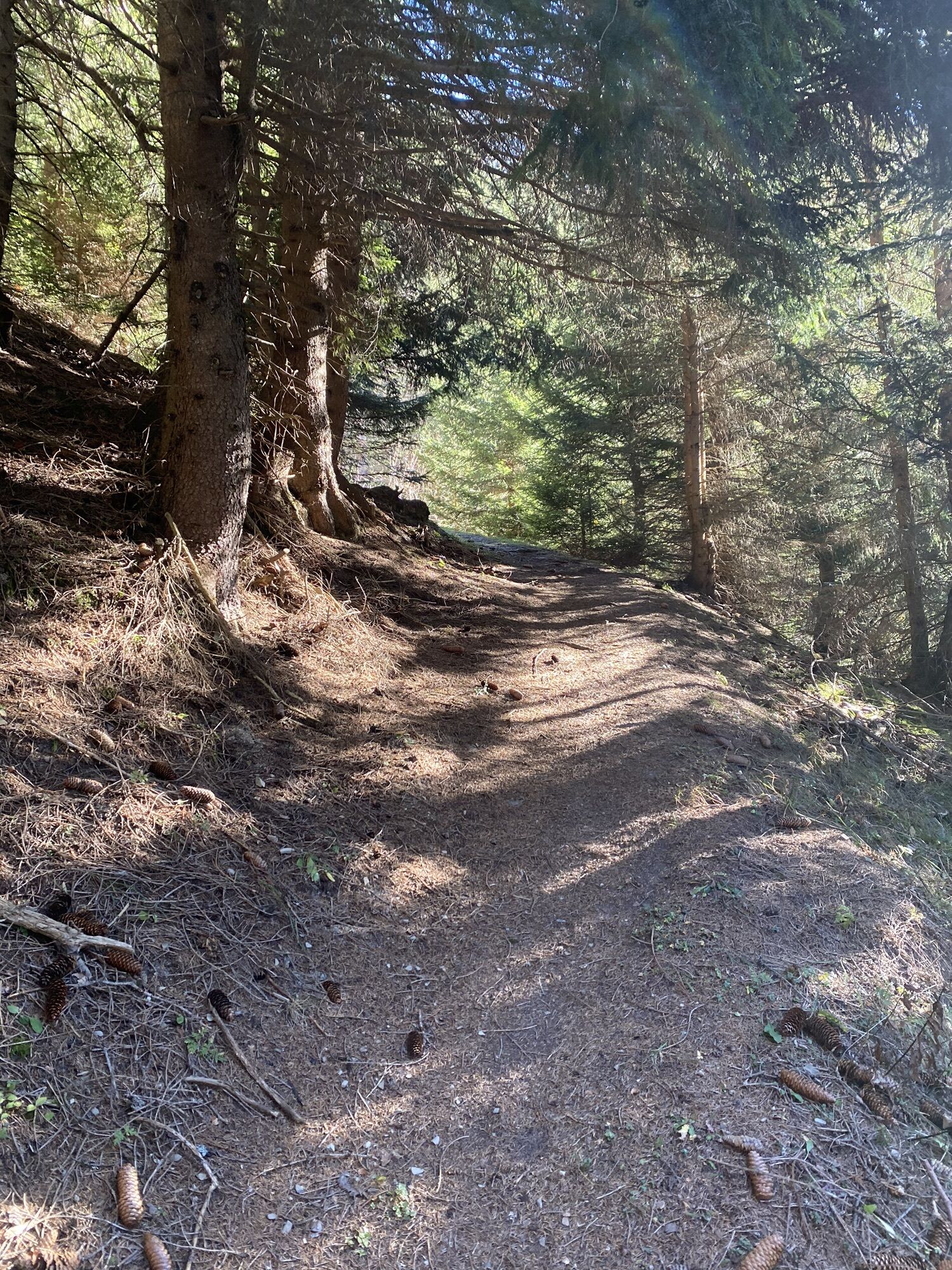
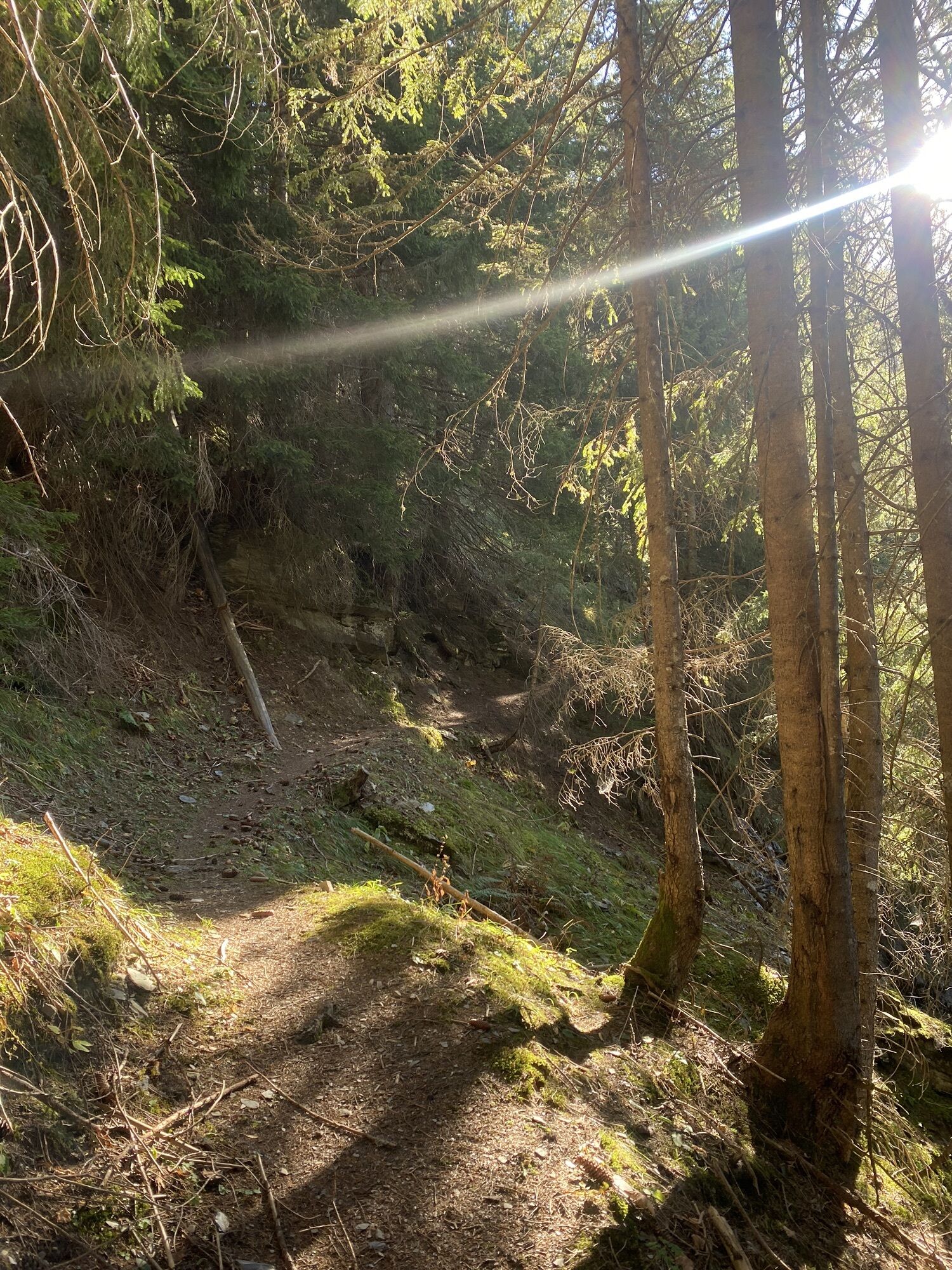
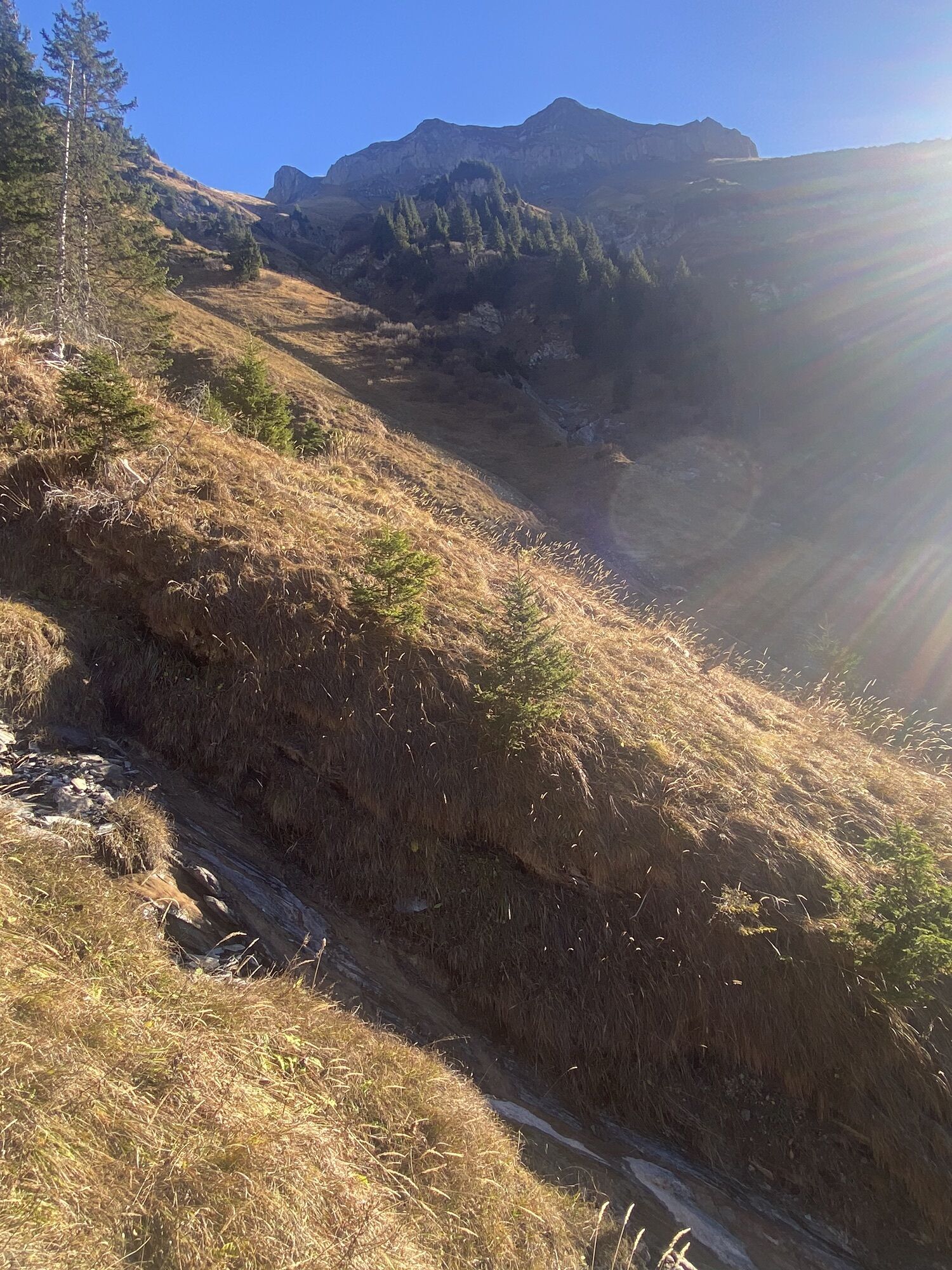
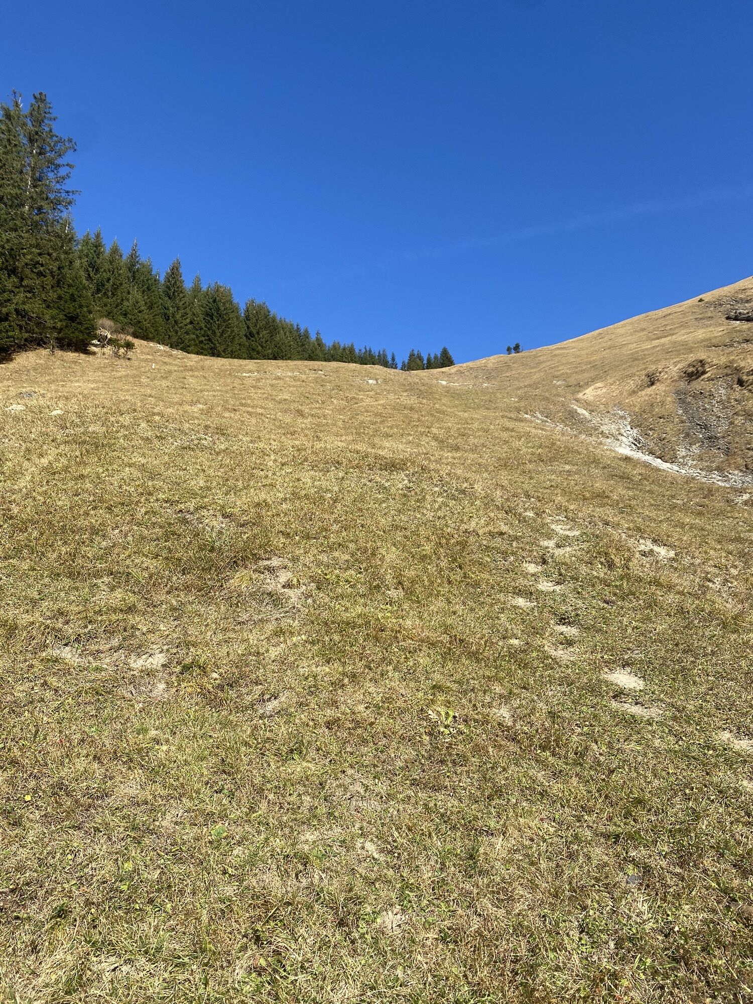
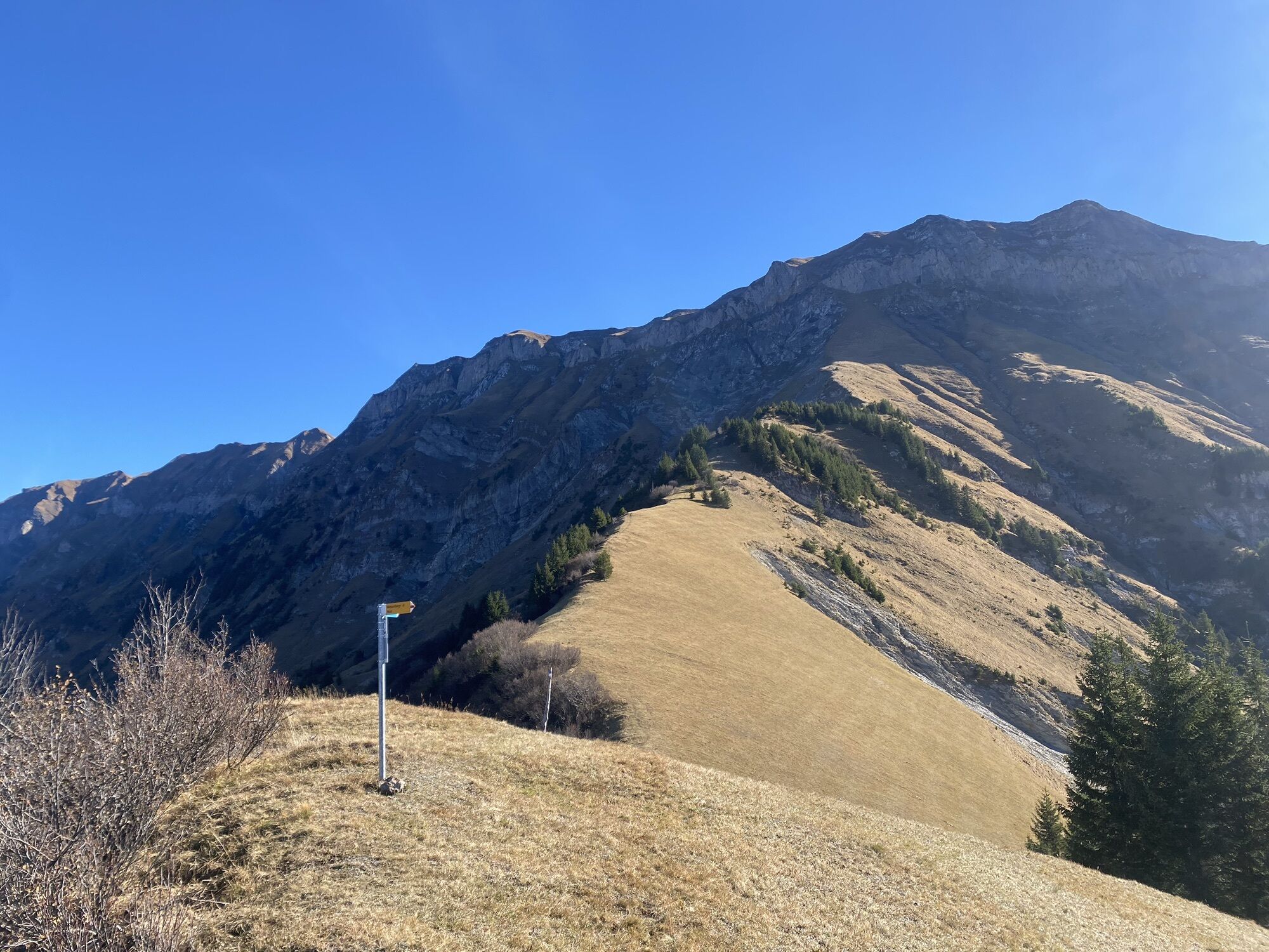
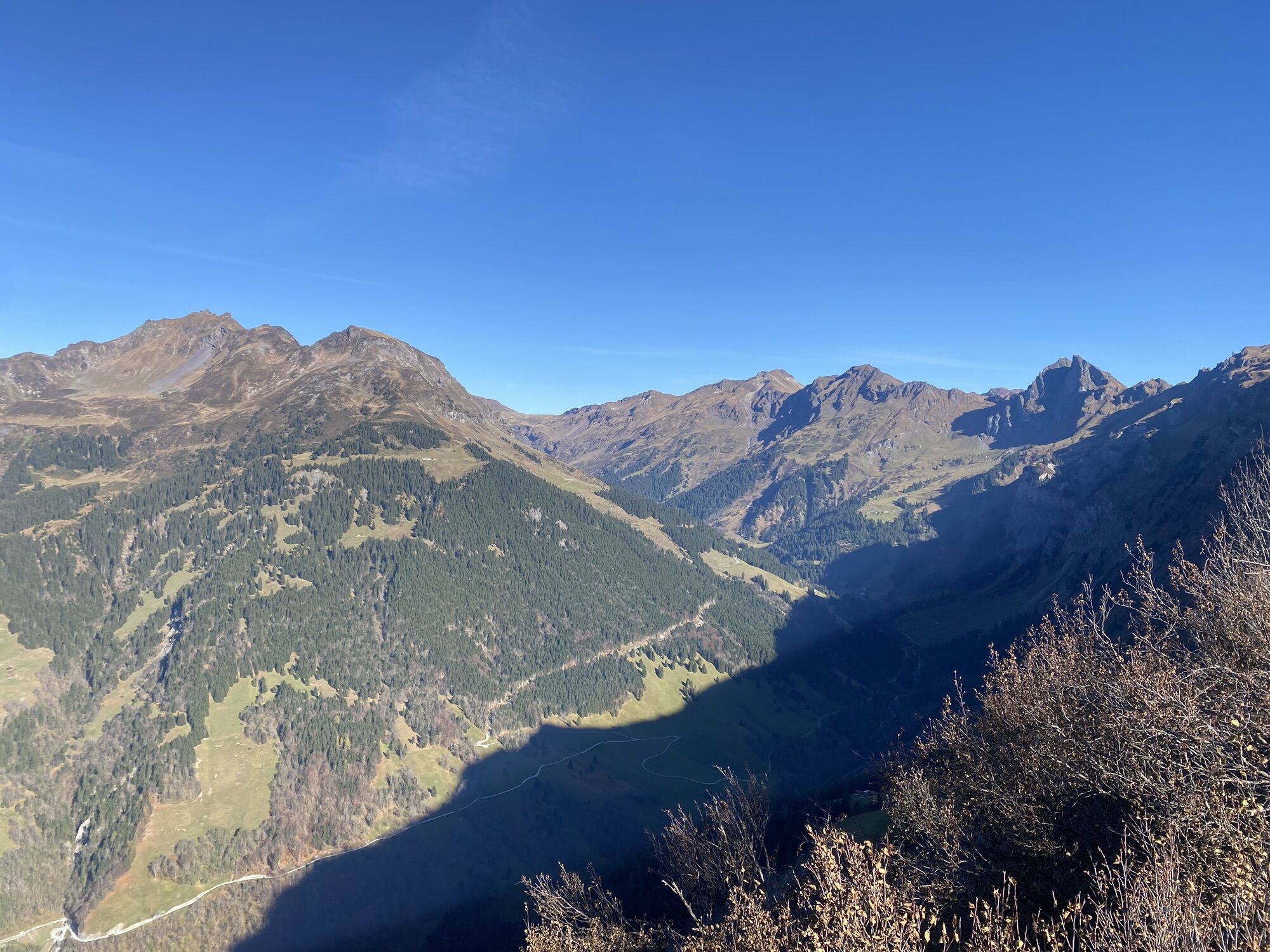
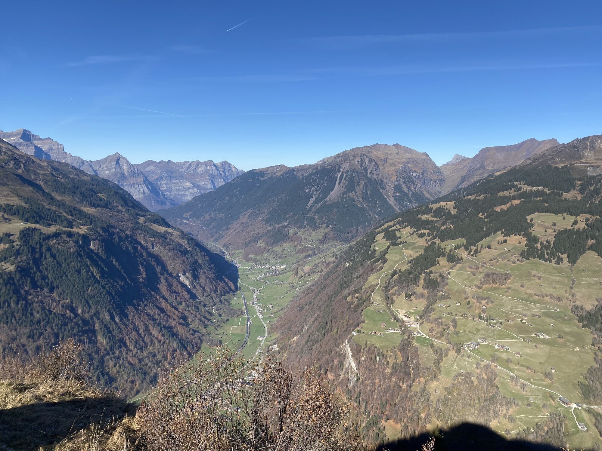
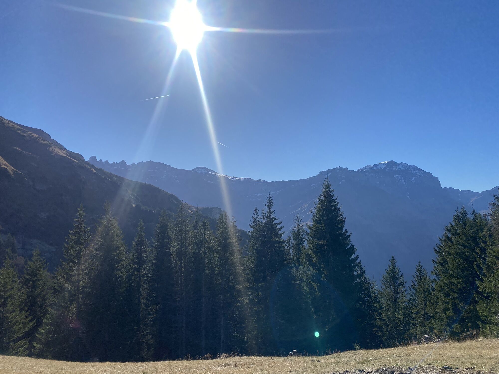
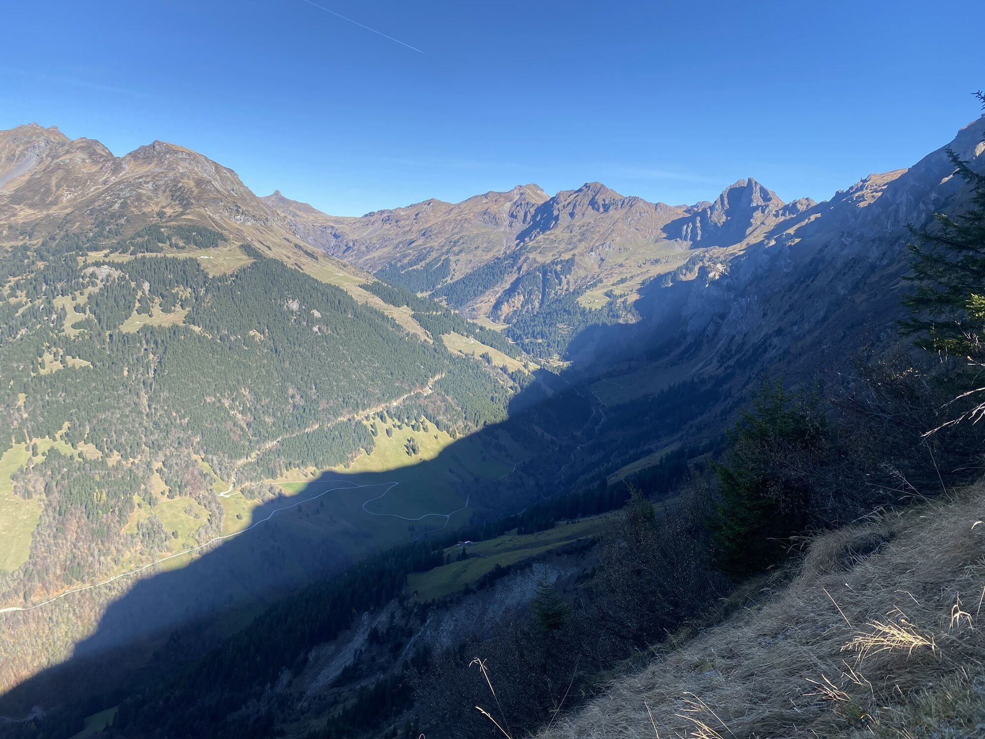
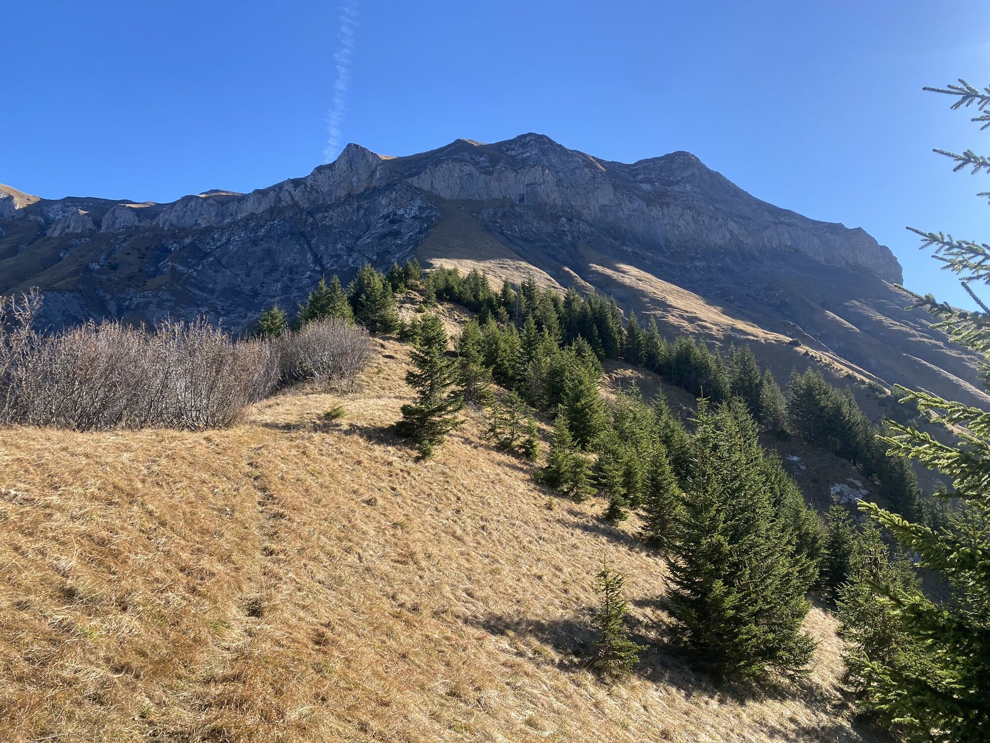
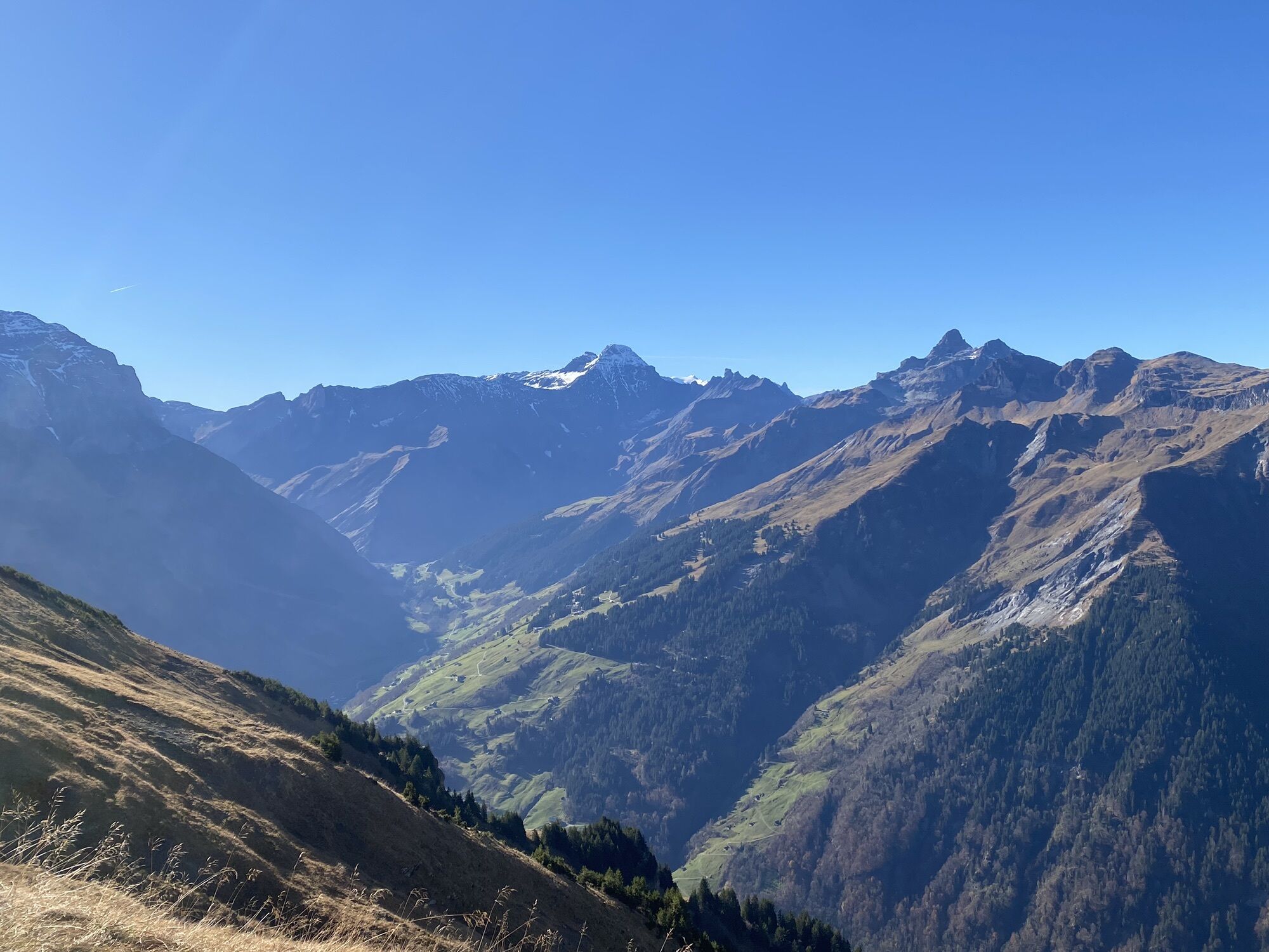
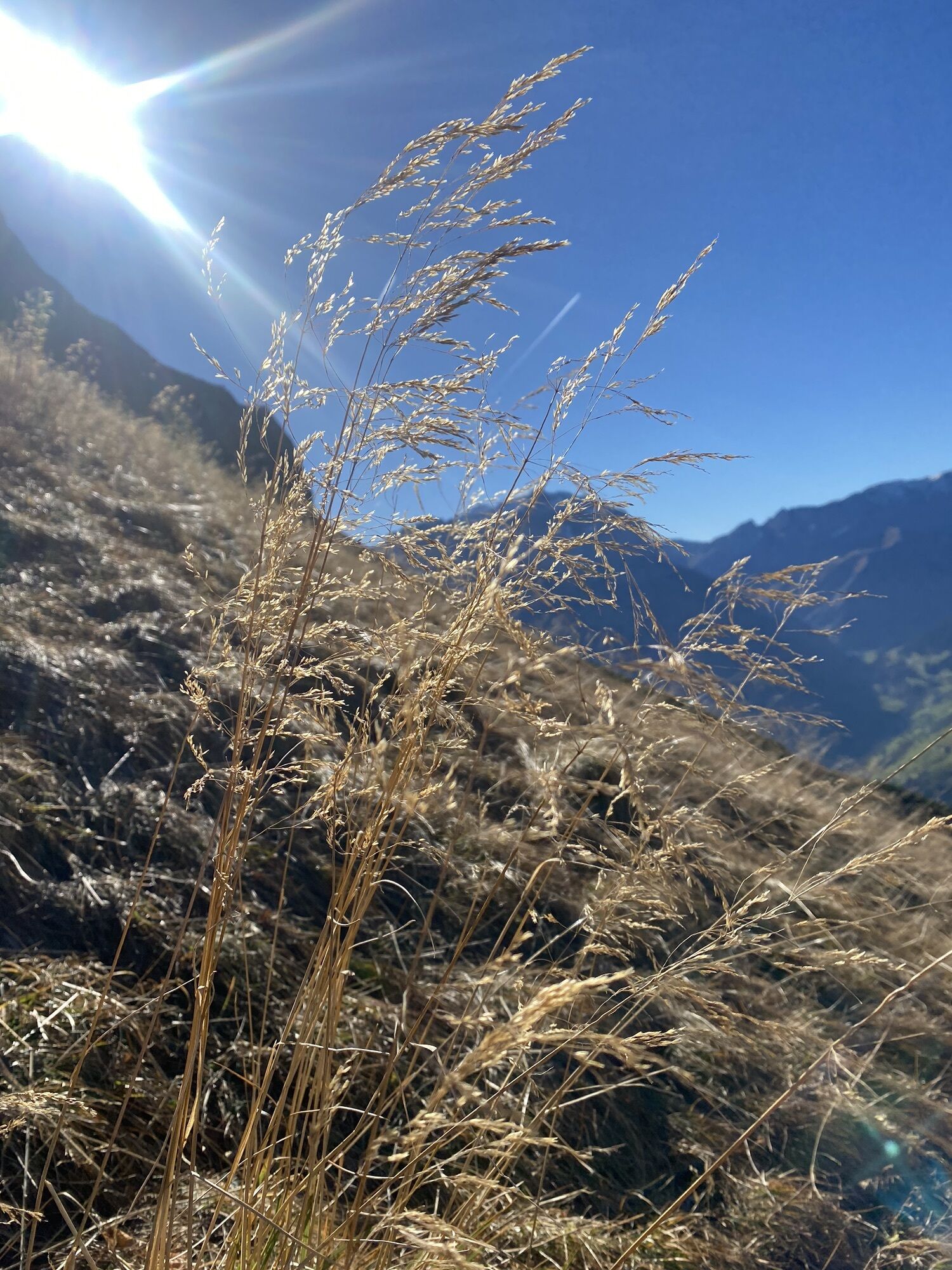
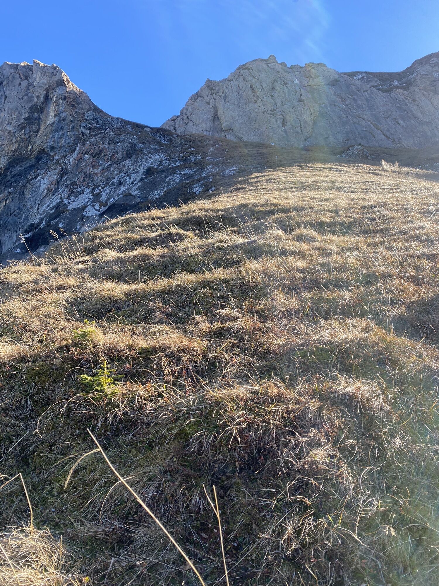
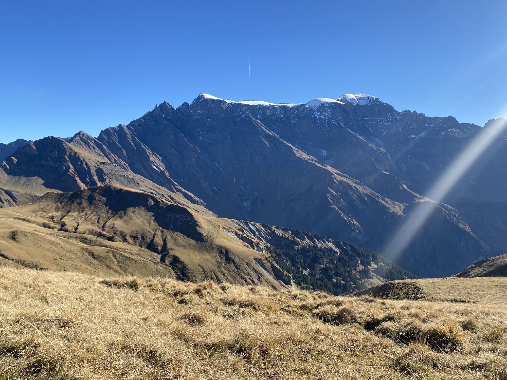
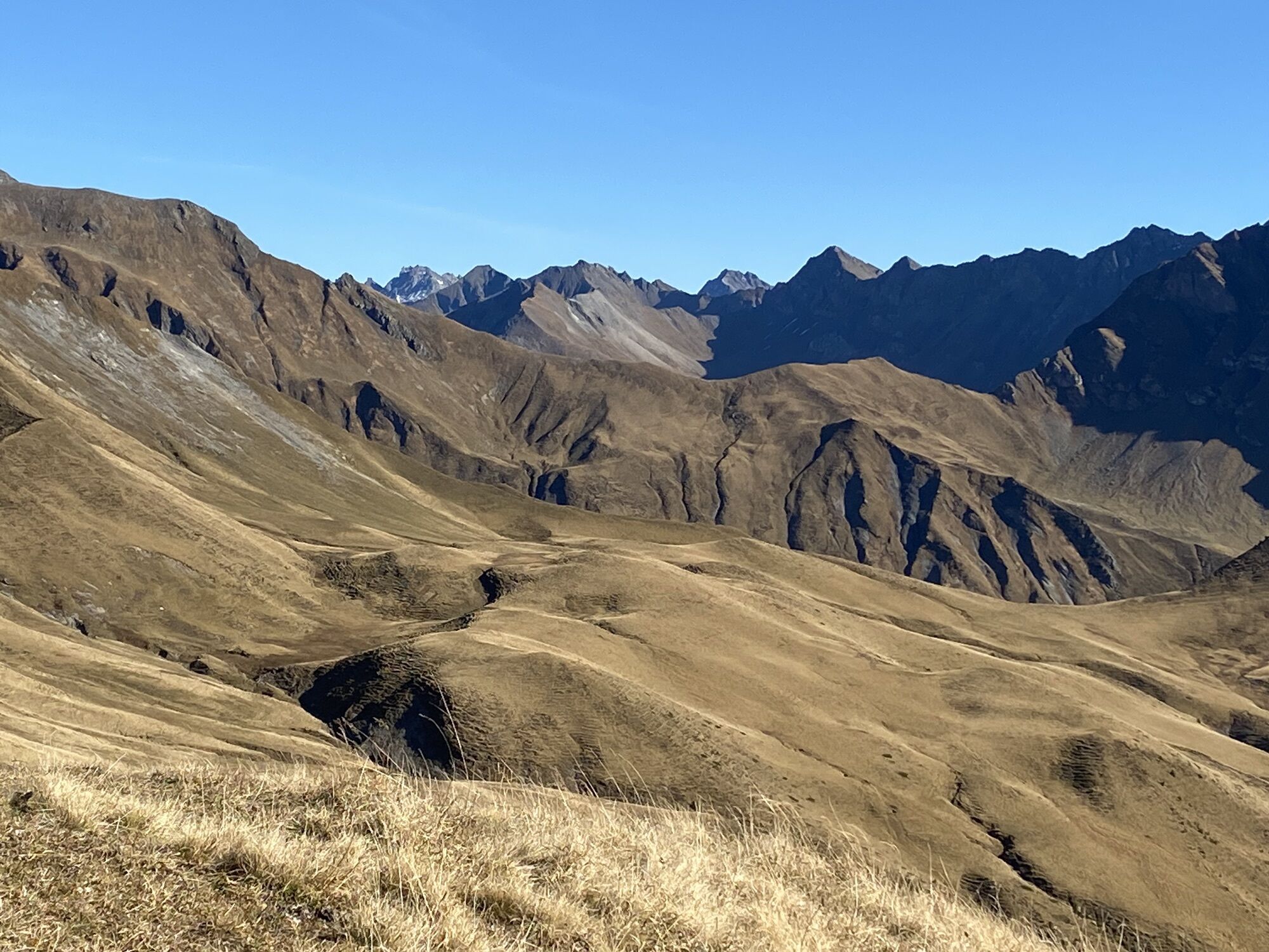
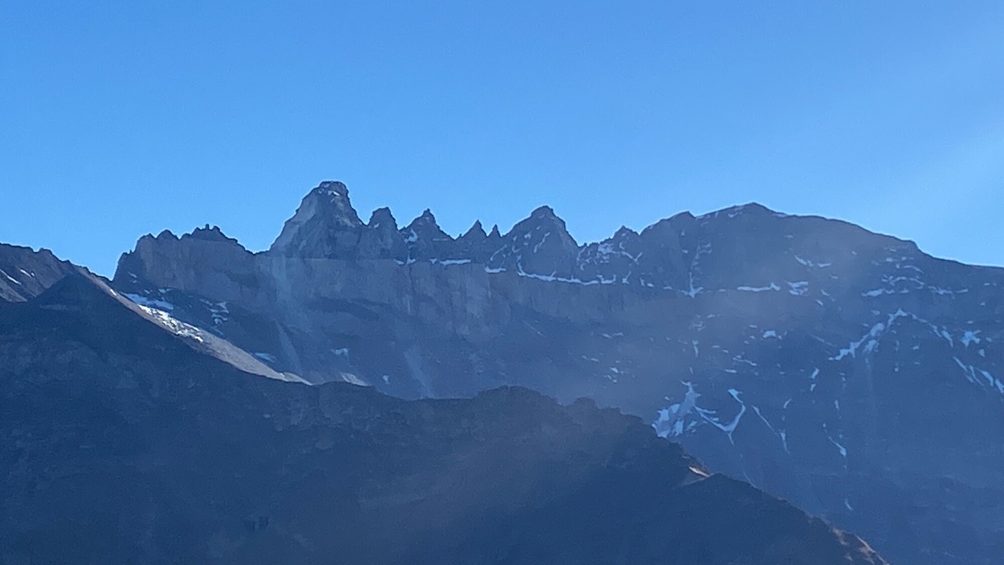
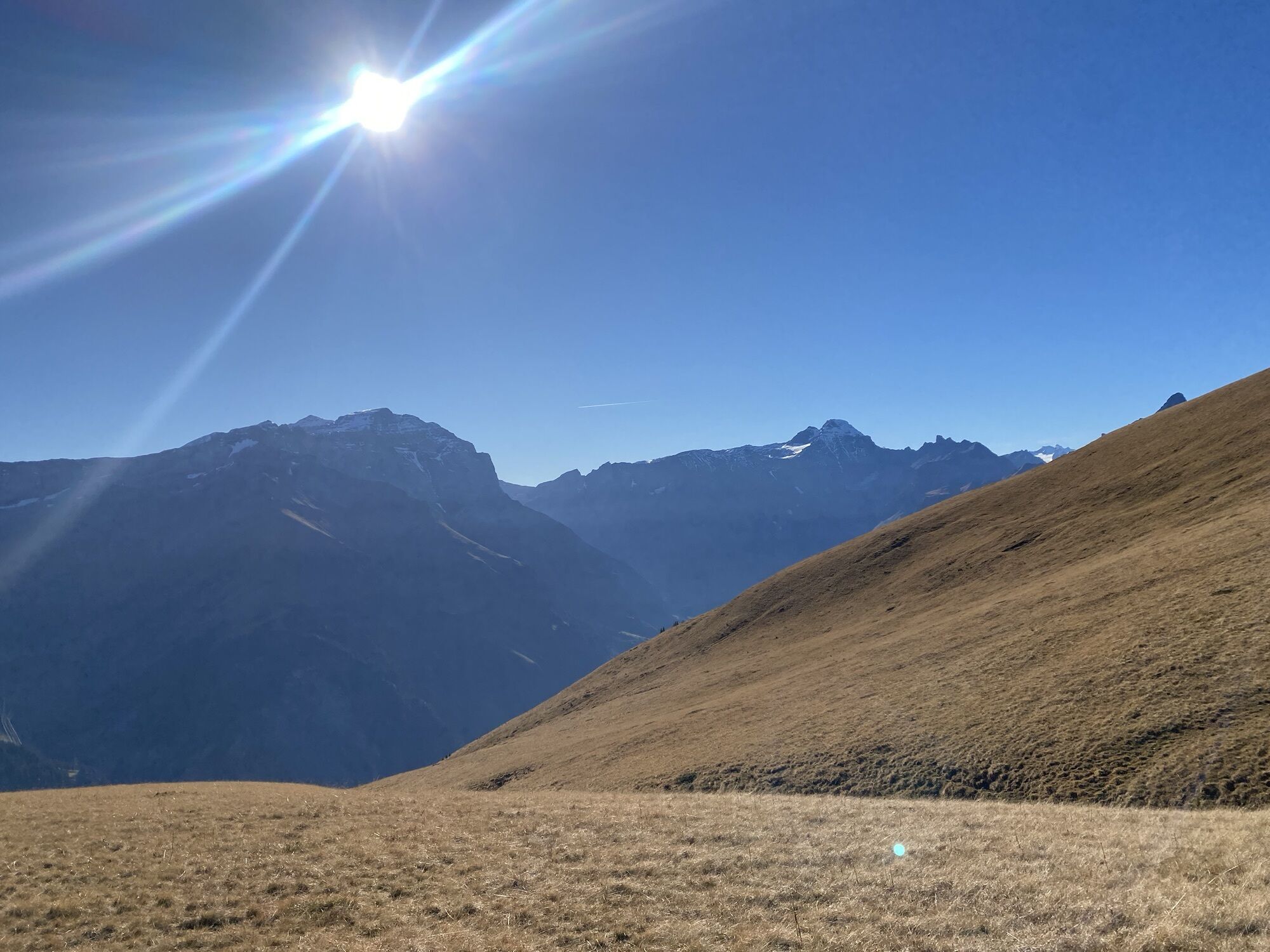
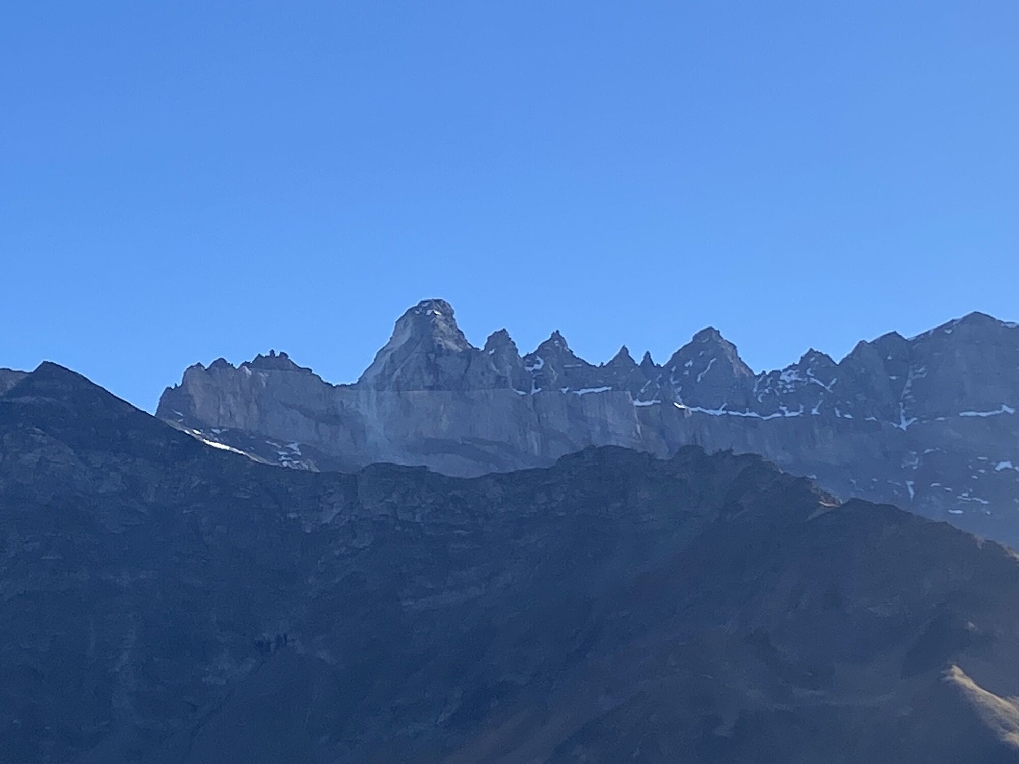
Matt-Fanenstock-Elm
medium
Navigate
Navigate
Get this tour on your mobile
Matt-Fanenstock-Elm
medium
Hiking
14,84
km
Scan the QR code and start navigation in the bergfex app

Hiking & Tracking


Distance
14,84
km
Duration
04:59
h
Ascent
1.146
m
Sea level
964 -
2.230
m
Track download
Matt-Fanenstock-Elm
medium
Hiking
14,84
km


Route
Weissenberge
(1.305 m)
Settlement
0,5 km
Ändi
(1.245 m)
Corridor/terrain
0,7 km
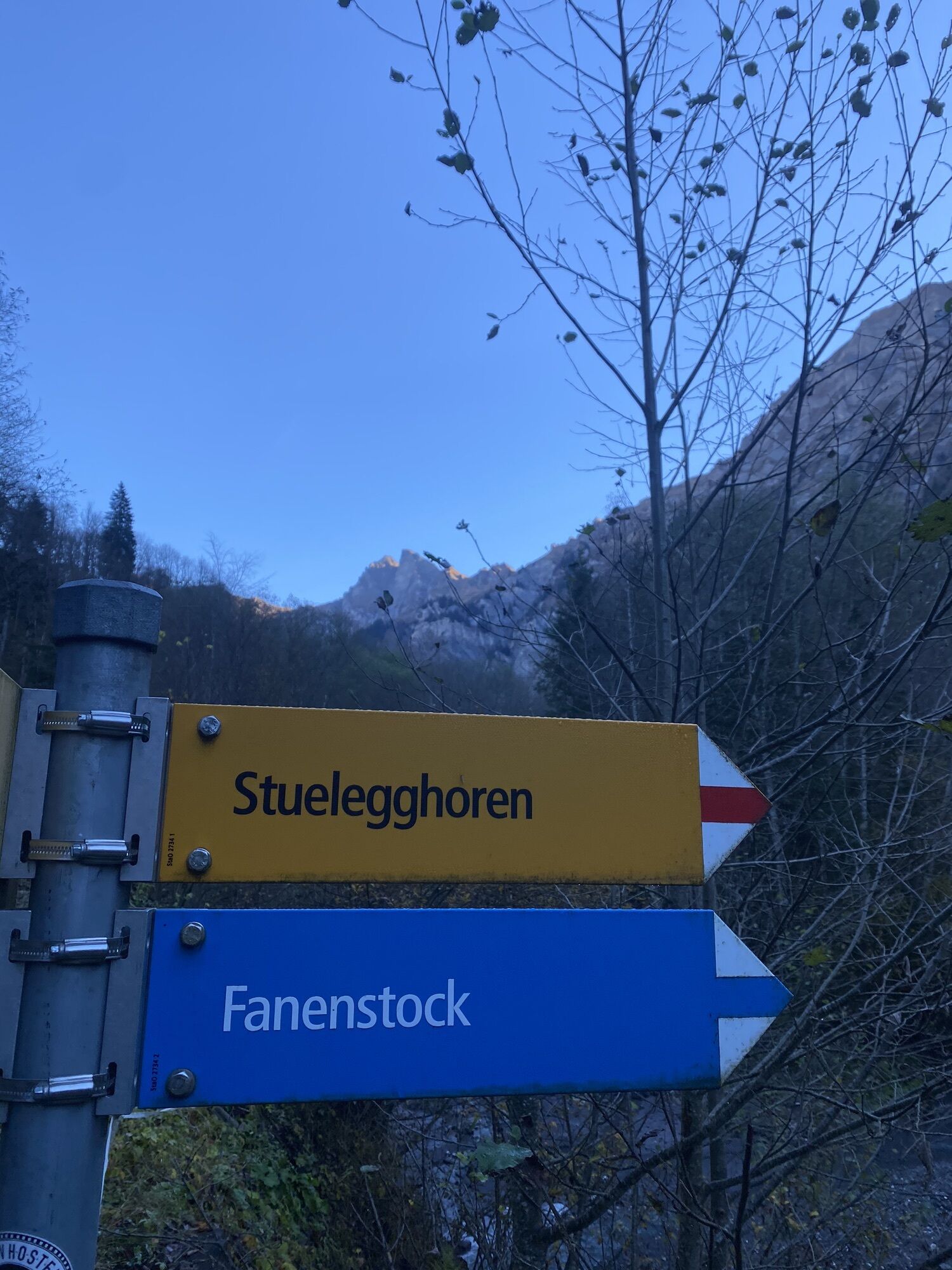
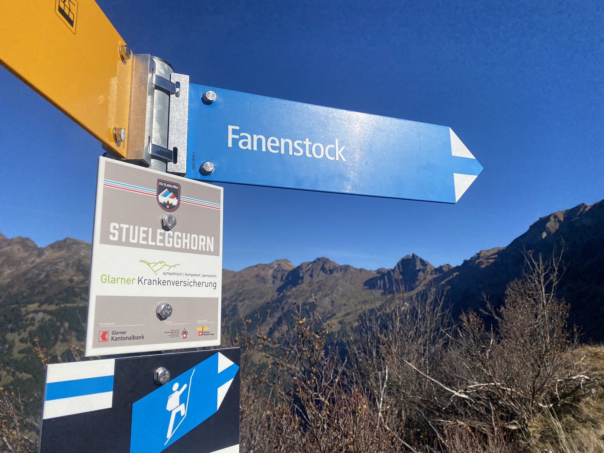
Stuelegghoren
(1.859 m)
Summit
6,4 km
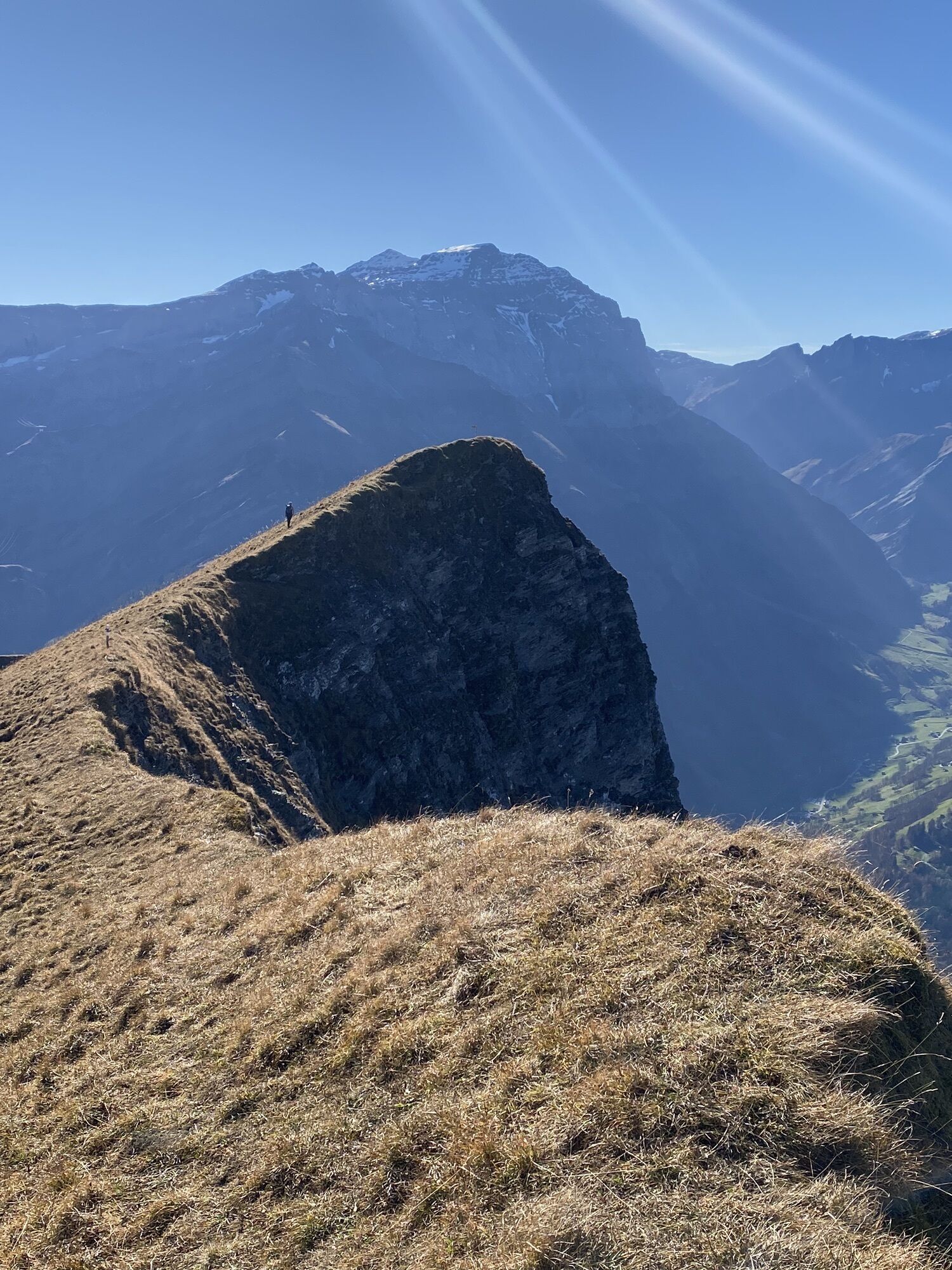
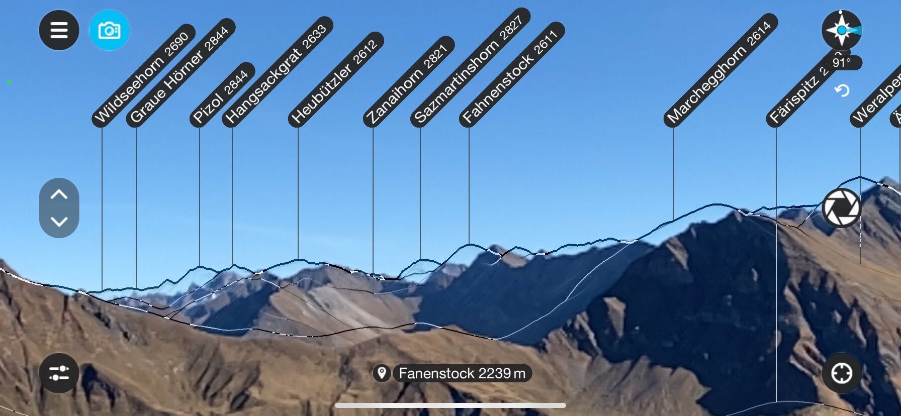
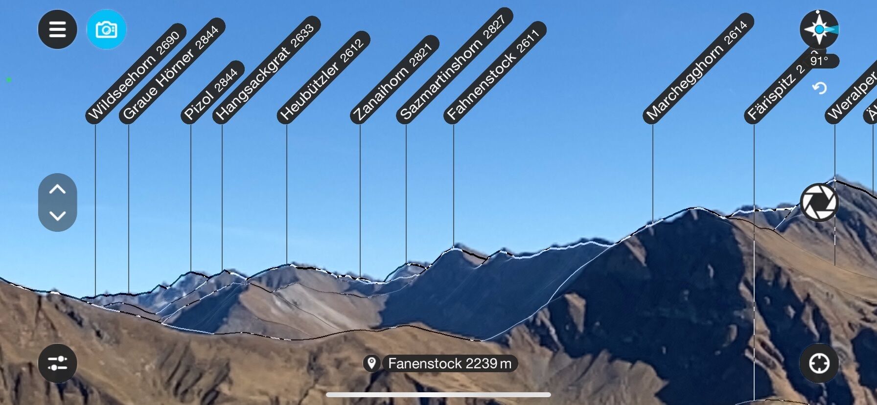
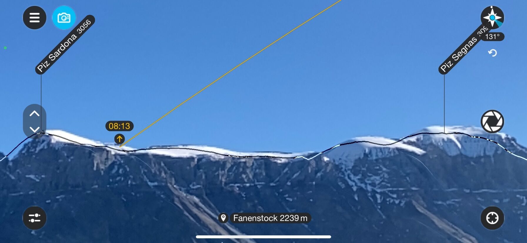
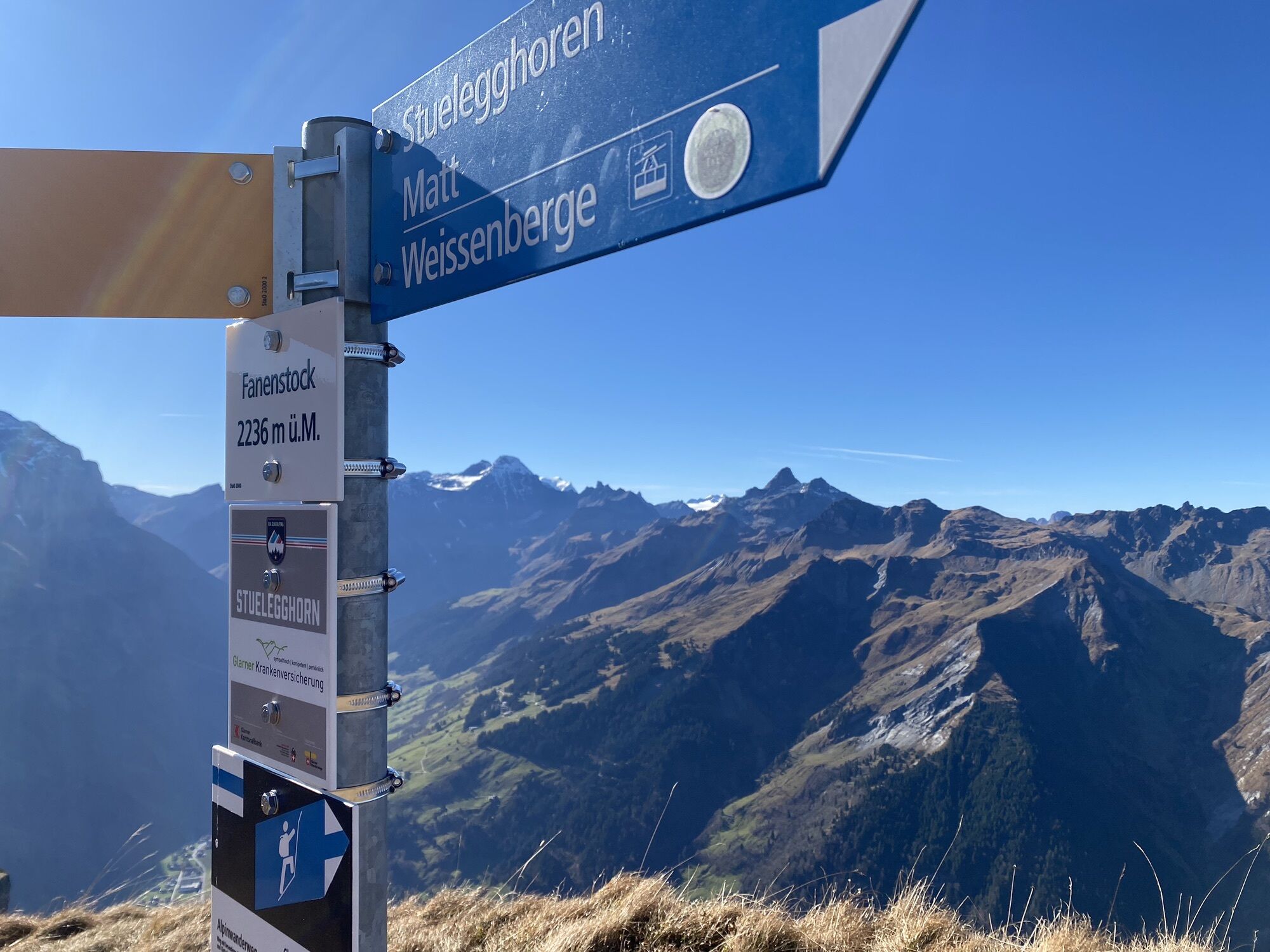
Fanenstock
(2.239 m)
Summit
7,5 km
Gamperdun Mittelstafel
(1.788 m)
Corridor/terrain
9,5 km
Oberer Töniberg
(1.094 m)
Neighbourhood
13,3 km
Töniberg
(1.048 m)
Neighbourhood
13,6 km
Route
Matt-Fanenstock-Elm
medium
Hiking
14,84
km
Weissenberge
(1.261 m)
Gondola station
0,0 km
Suterheimet
(1.250 m)
Corridor/terrain
0,4 km
Weissenberge
(1.305 m)
Settlement
0,5 km
Wirtschaft zum Weissenberg
(1.259 m)
Restaurant
0,5 km
Ändi
(1.245 m)
Corridor/terrain
0,7 km
Wijenegg
(1.222 m)
Corridor/terrain
0,8 km
Schulerberg
(1.179 m)
Corridor/terrain
2,0 km
Geissegg
(1.292 m)
Corridor/terrain
3,5 km
Grütwald
(1.388 m)
Corridor/terrain
3,8 km
Geissstafel
(1.459 m)
Corridor/terrain
5,0 km
Stuelegghoren
(1.859 m)
Summit
6,4 km
Stueleggblanggen
(1.851 m)
Corridor/terrain
6,5 km
Fanenstock
(2.239 m)
Summit
7,5 km
Fanenfurggeli
(2.143 m)
Mountain saddle
7,9 km
Altstafel
(1.886 m)
Corridor/terrain
9,1 km
Gamperdun Mittelstafel
(1.788 m)
Corridor/terrain
9,5 km
Schindelegg
(1.592 m)
Corridor/terrain
10,3 km
Grüt
(1.514 m)
Corridor/terrain
10,7 km
Oberer Töniberg
(1.094 m)
Neighbourhood
13,3 km
Stulz
(1.084 m)
Corridor/terrain
13,3 km
Elm Töniberg (Tschinglenbahn)
(1.040 m)
Gondola station
13,5 km
Töniberg
(1.048 m)
Neighbourhood
13,6 km
Untertal
(983 m)
Corridor/terrain
14,3 km
Elm
(977 m)
Village
14,7 km
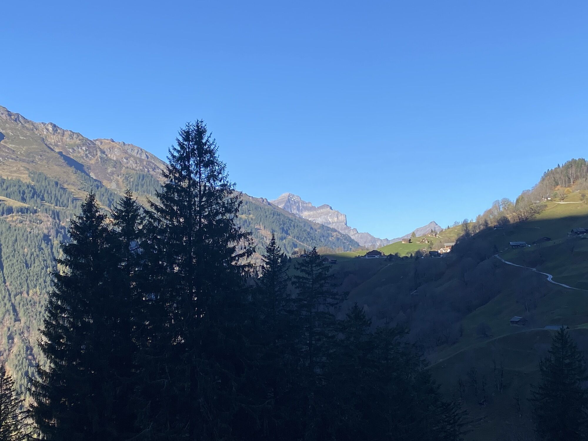
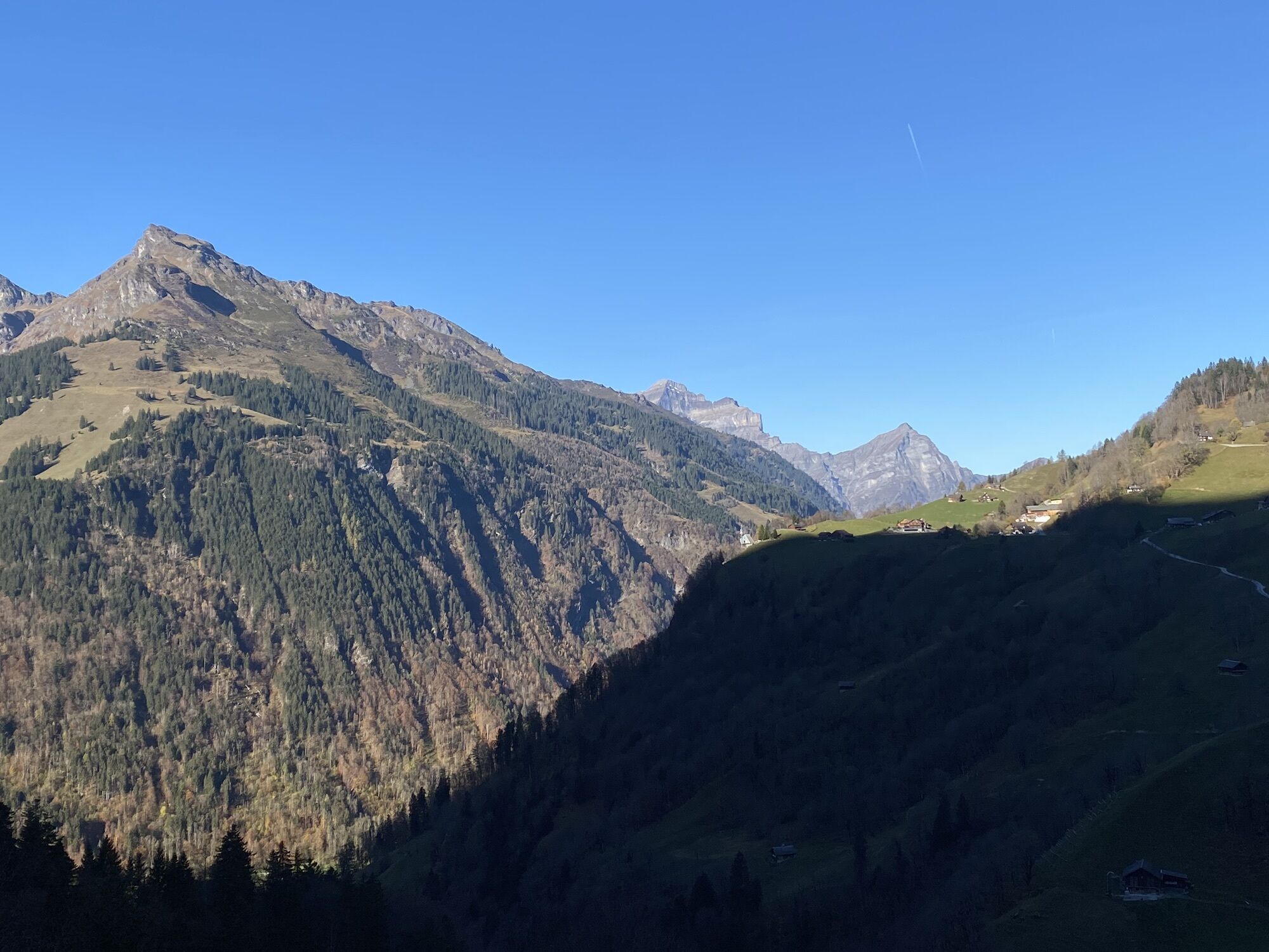
Route information
Route
Erster Teil über ausgebaute Kieswege
Dann Folgt der Aufstieg durch den Wald der konditionell recht fordernd ist.
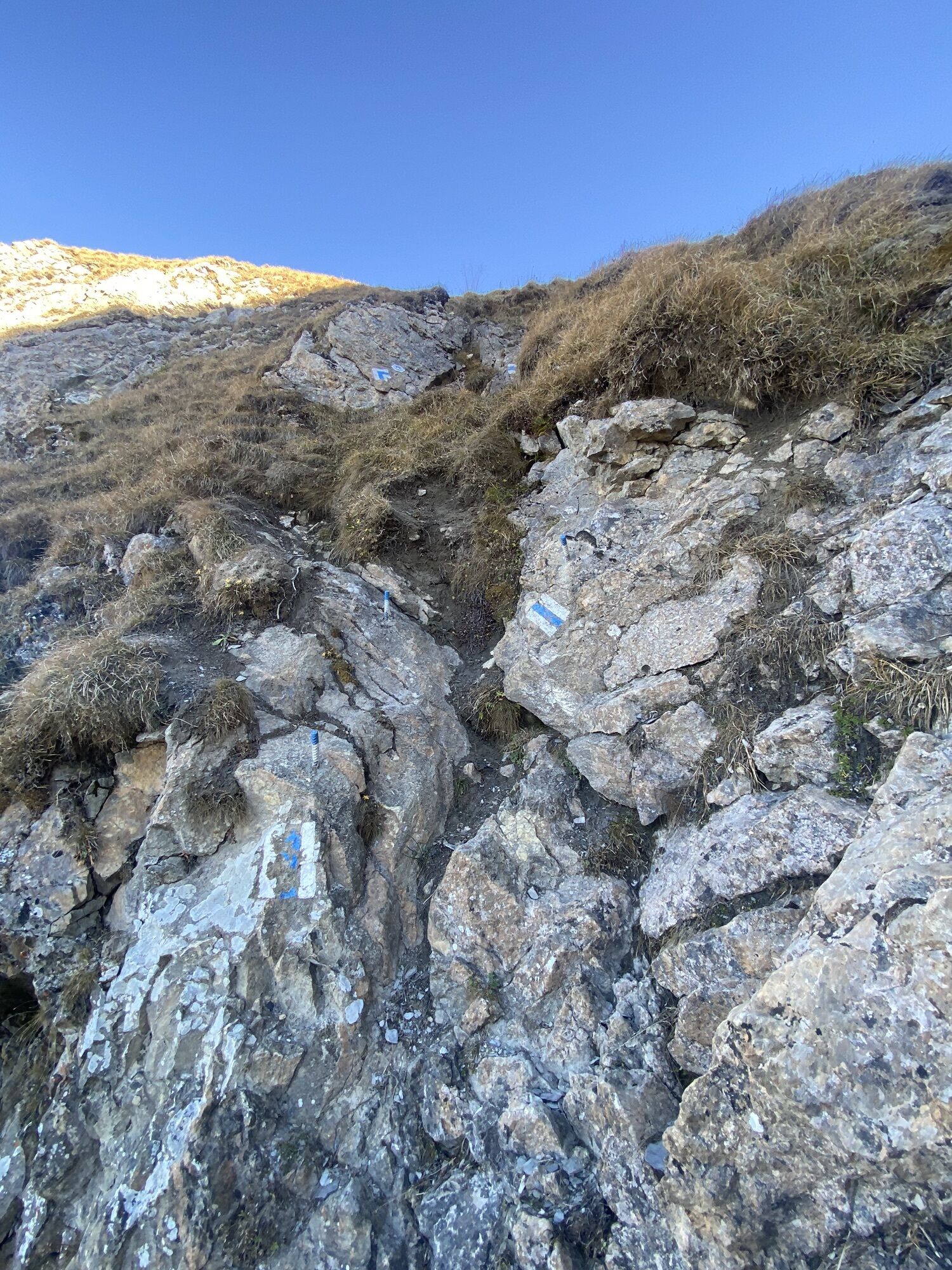
Richtung Fanenstock wirds dann recht Kopfsache. Bei nässe und Frost ziemlich kritisch.
Equipment
Genug Wasser mitnehmen
Valuations
5
(1)
4
(0)
3
(0)
2
(0)
1
(0)
Popular tours in the neighbourhood
- 4,7
The riverside trail: Trutg dil Flem
mediumThematic route13,5 km - 4,7
Pizol - Batöni - Weisstannen
heavyHiking11,7 km - 4,3
Via Ferrata Pinut
mediumVia ferrata5,82 km - 4,3
Round trip hike Falera - Curnius - Alp Dadens - Falera
mediumHiking11,4 km Murgsee Runde
mediumHiking16,2 km764 Trutg dil Flem, Flims Water Route (GRF)
heavyThematic route13,3 km- 3,0
Tour zum Martinsloch
heavyHiking3,82 km Flimserstein: Bargis - Naraus - Flims
heavyHiking16,8 km- 4,7
Anspruchsvolle Tour von Weisstannen über Pizol zur Pizol Hütte
heavyHiking13,4 km - 3,0
Route of amazement Calfeisental
mediumHiking9,09 km

Hiking & Tracking

Over 550.000 tour suggestions, detailed maps and an intuitive route planner make the app a must-have for all nature enthusiasts.

Don't miss out on offers and inspiration for your next holiday
Subscribe to the newsletter
Error
An error has occurred. Please try again.Thank you for your registration
Your e-mail address has been added to the mailing list.
Tours throughout Europe
Austria Switzerland Germany Italy Slovenia France Netherlands Belgium Poland Liechtenstein Czechia Slovakia Spain Croatia Bosnia and Herzegovina Luxembourg Andorra Portugal Iceland United Kingdom Ireland Greece Albania North Macedonia Malta Norway Montenegro Moldova Kosovo Hungary San Marino Romania Estonia Latvia Belarus Cyprus Lithuania Serbia Bulgaria Monaco Denmark Sweden Finland