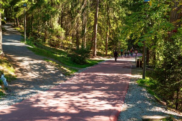
- Brief description
-
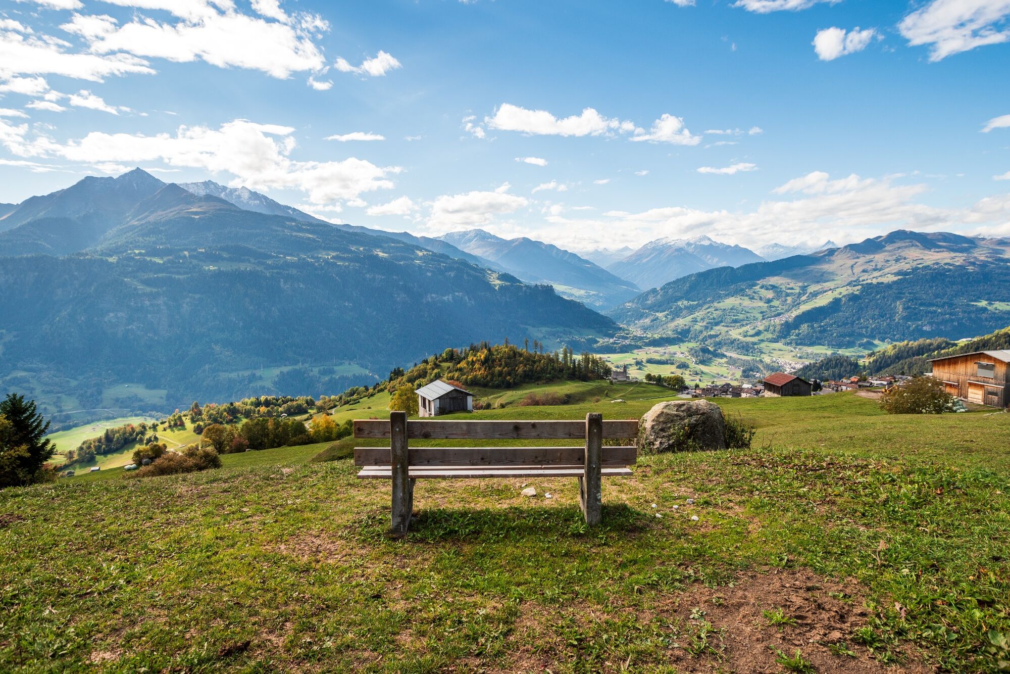
Spectacular view on the mountain group Signina and the Rhein Gorge.
- Difficulty
-
medium
- Rating
-
- Starting point
-
Falera, Parking lot
- Route
-
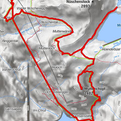
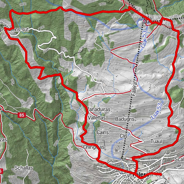
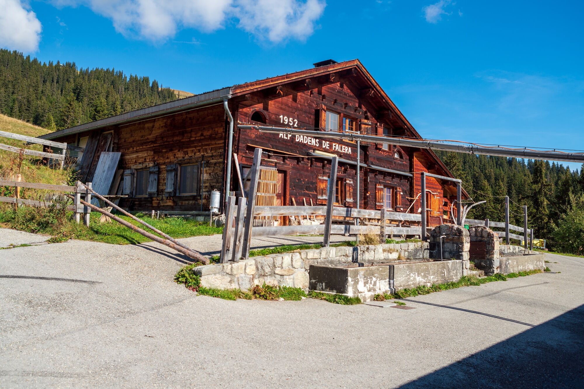
Herz-Jesu-Kirche0.2 kmUstria Encarna0.3 kmFalera (1,213 m)0.3 kmUstria Aurora0.4 kmTegia Curnius3.9 kmAlp Dadens6.3 kmRestaurant Casa Seeli10.3 kmUstria Encarna10.3 kmHerz-Jesu-Kirche10.4 kmFalera (1,213 m)10.4 km
- Best season
-
JanFebMarAprMayJunJulAugSepOctNovDec
- Description
-
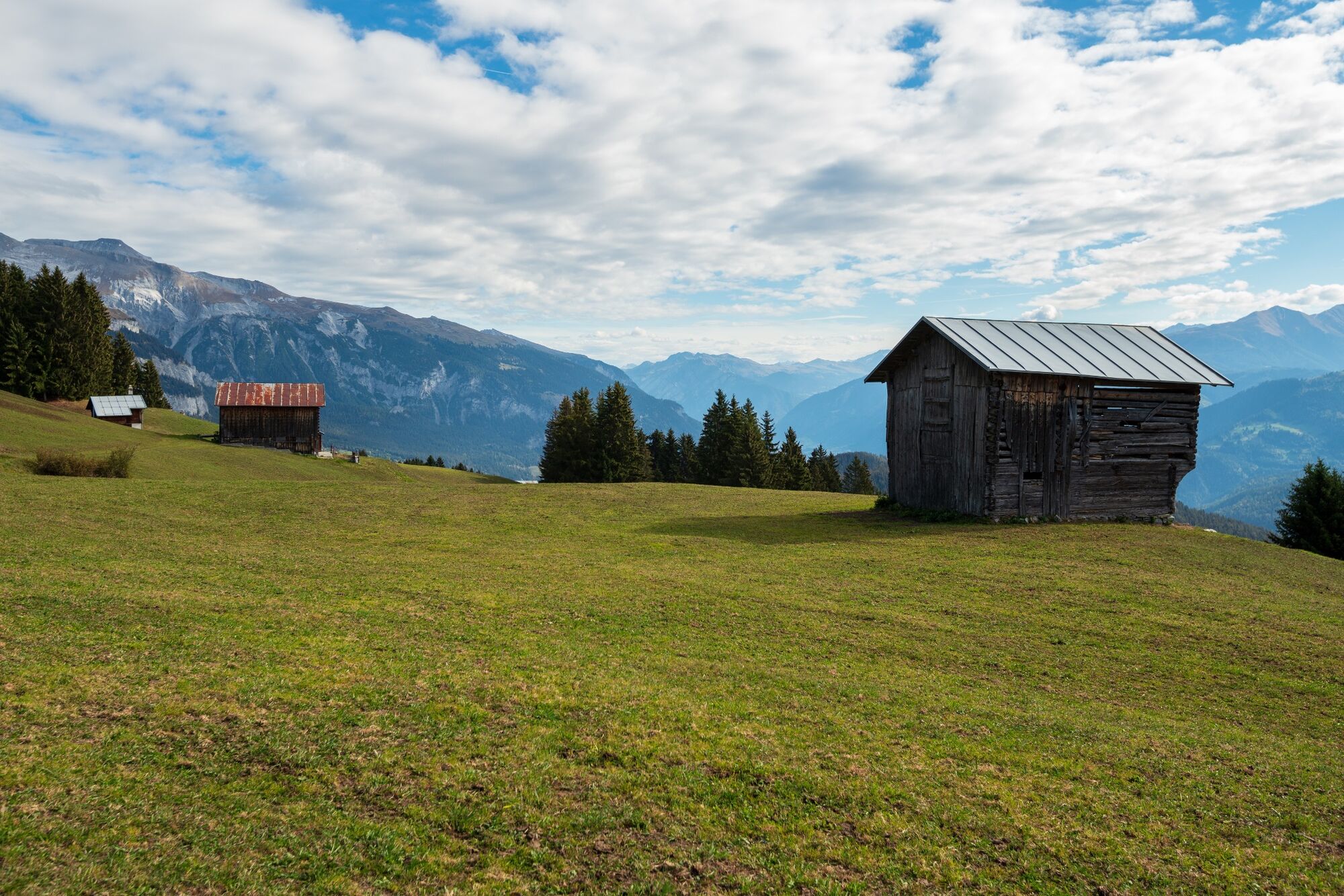
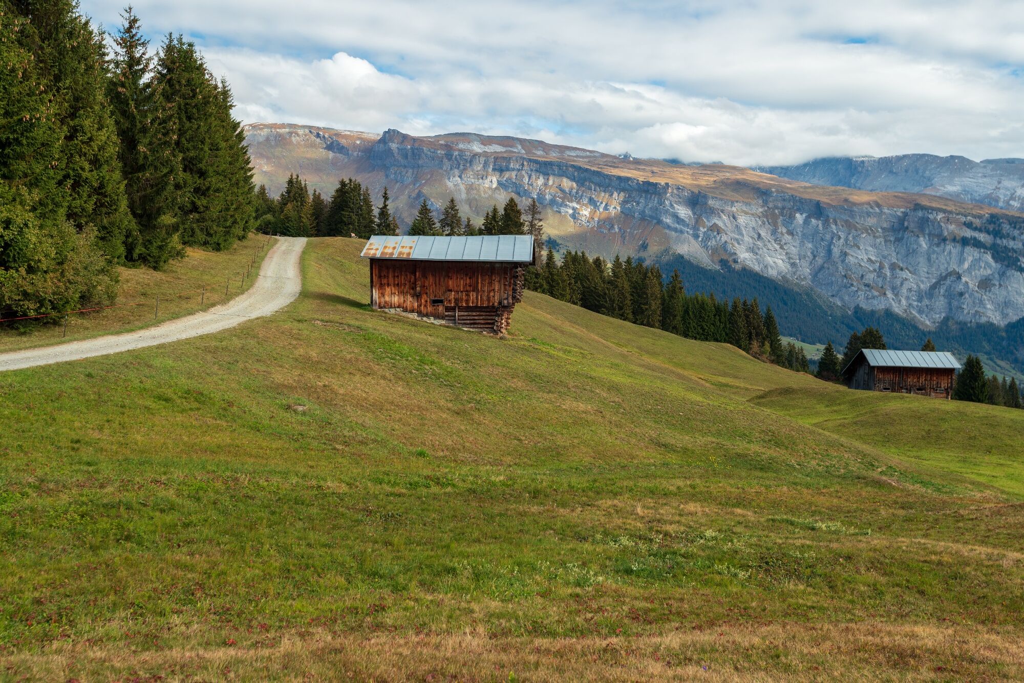
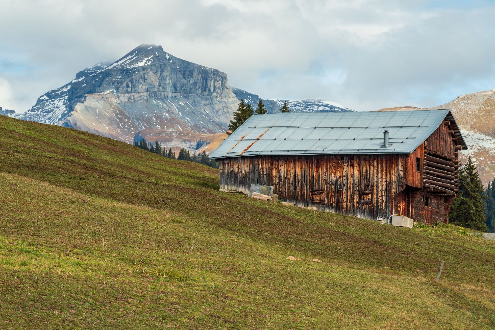
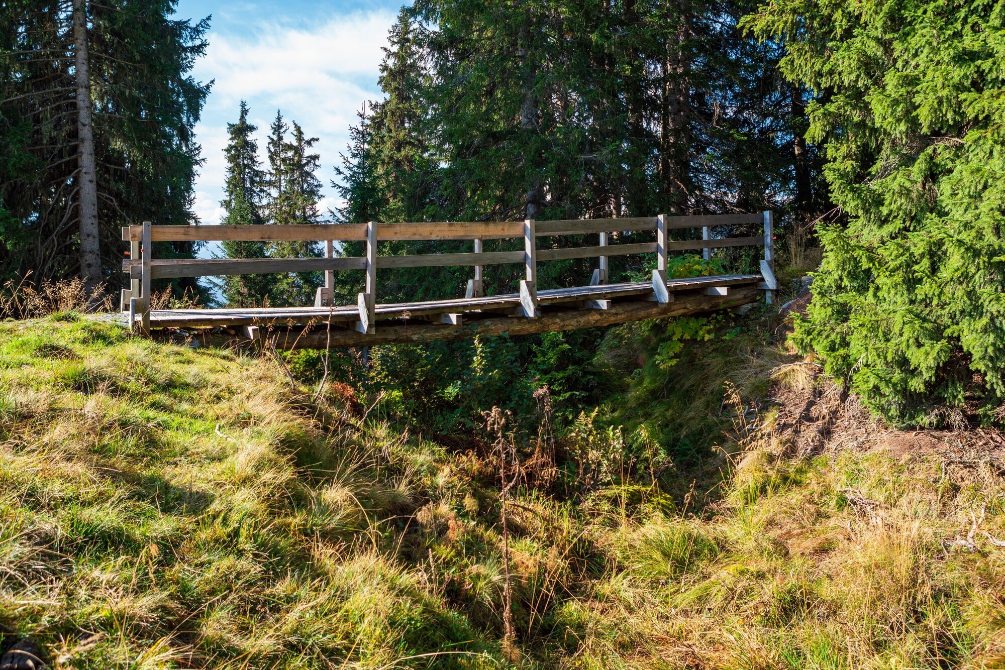
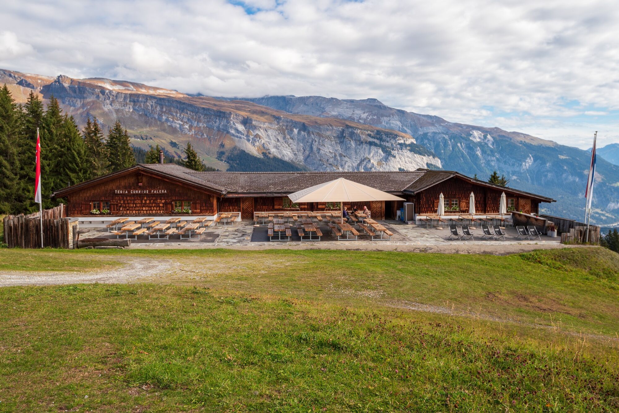
Of the trio of Alpenarena villages, Falera is the quietest, and not only sports enthusiasts can be found here: Falera attracts with an enigmatic Stone Age site the Parc la Mutta, which is worth a visit for its location alone.From the post car stop, the path leads in the direction of Curnius. During the ascent, we pass huts and mountain meadows until we reach the mountain restaurant. We continue to Alp Dadens, past a fireplace at 1756 m.a.s.l. The descent to Falera is very well marked on the mountain trail, so we can relax and enjoy the beautiful view of the Signina group and the Rhine gorge. Again we pass fragrant mountain meadows and descend to Falera.
The mountain hike can be shortened with the Falera chairlift, depending on your mood and condition.
Consider operating times: www.flimslaax.com/oeffnungszeiten-tickets
Snowline map
While at higher altitudes there is at best already snow, the trails in the valley are still free of snow. Our interactive snow depth map helps you to plan your tour. Here you can see at a glance at www.flims.com/schneesituation where you can already expect snow on the paths and trails and where you can still be on the road without getting cold feet.
- Directions
-
From the postbus stop, the trail leads you towards Curnius. During the ascent, you will pass mountain huts and pastures before you reach the restaurant Curnius. You will then continue you hike to Alp Dadens, past an open fireplace 1765 meters above sea level. The descent to Falera is very well signed and you can enjoy the breathtaking view over the Signina Group and the Rhein Gorge while you walk back again through the mountain forest and past fragrant pastures.
- Highest point
- 1,806 m
- Endpoint
-
Falera
- Height profile
-
 © outdooractive.com
 - Equipment
-
Good mountain boots and rain protection strongly recommended.
- Safety instructions
-
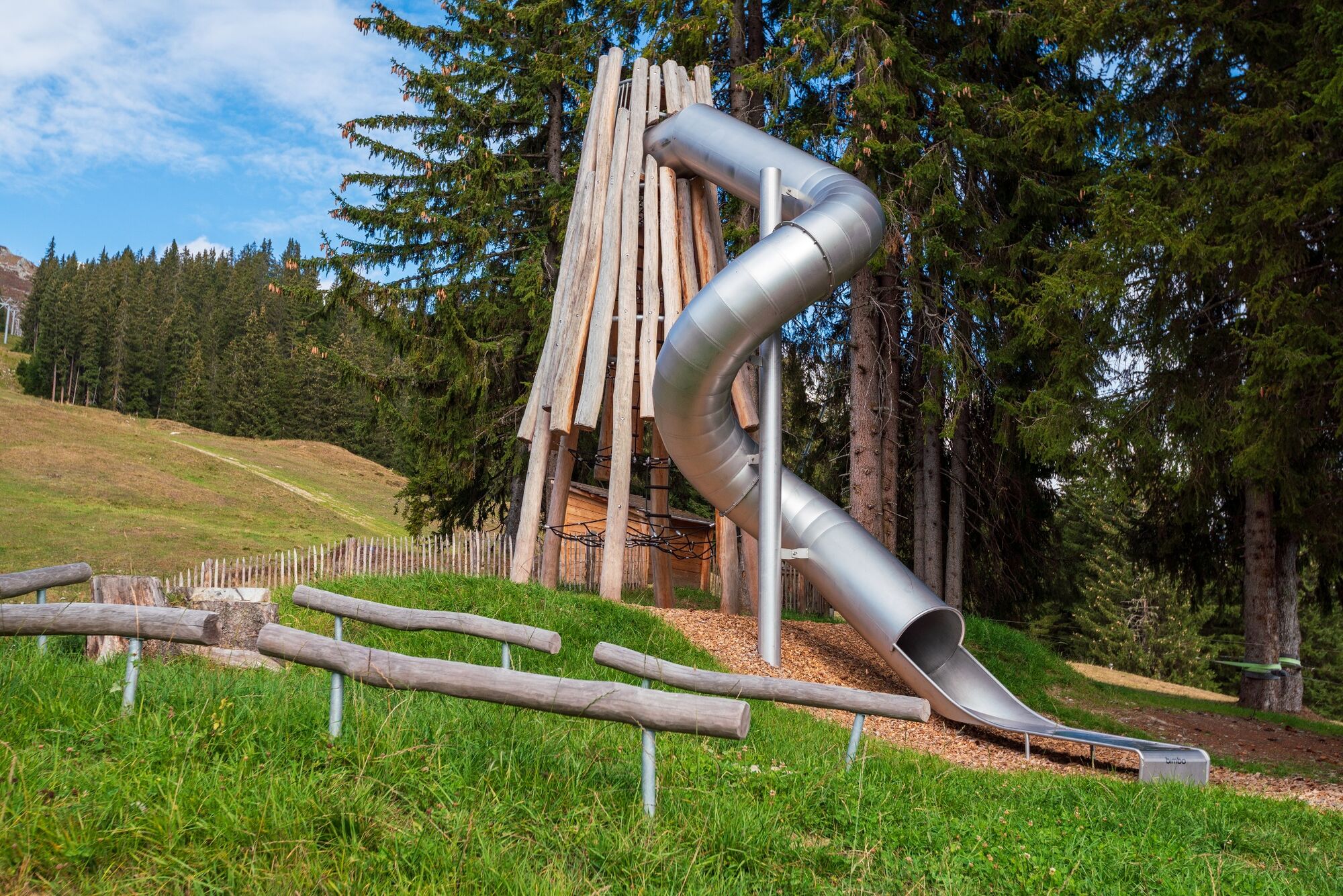
Supervise your children at all times.
- Tips
-
Visit the little brasserie Tegia Sut.
- Additional information
- Directions
-
By car motorway A13 from Zürich, exit 18 Flims.
- Public transportation
-
Train to Chur, post bus to Laax, post bus from Laax to Falera, bus stop Falera Parcadi or with the Flims Laax Falera Shuttle from Flims on.
- Parking
-
200 parking lots available at village entrance
Free of charge in summer
Fee required in winter (coins necessary)


-

-
AuthorThe tour Höhenweg Falera - Curnius - Alp Dadens - Falera is used by outdooractive.com provided.


General info
-
Glarnerland
1972
-
Ilanz / Glion
678
-
Castrisch
313