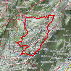
Tour data
3.82km
1,507
- 2,594m
1,095hm
1,095hm
00:57h
- Brief description
-
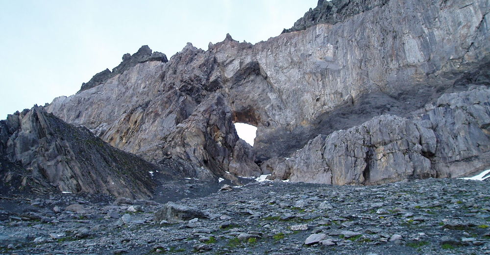
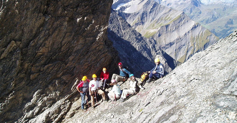
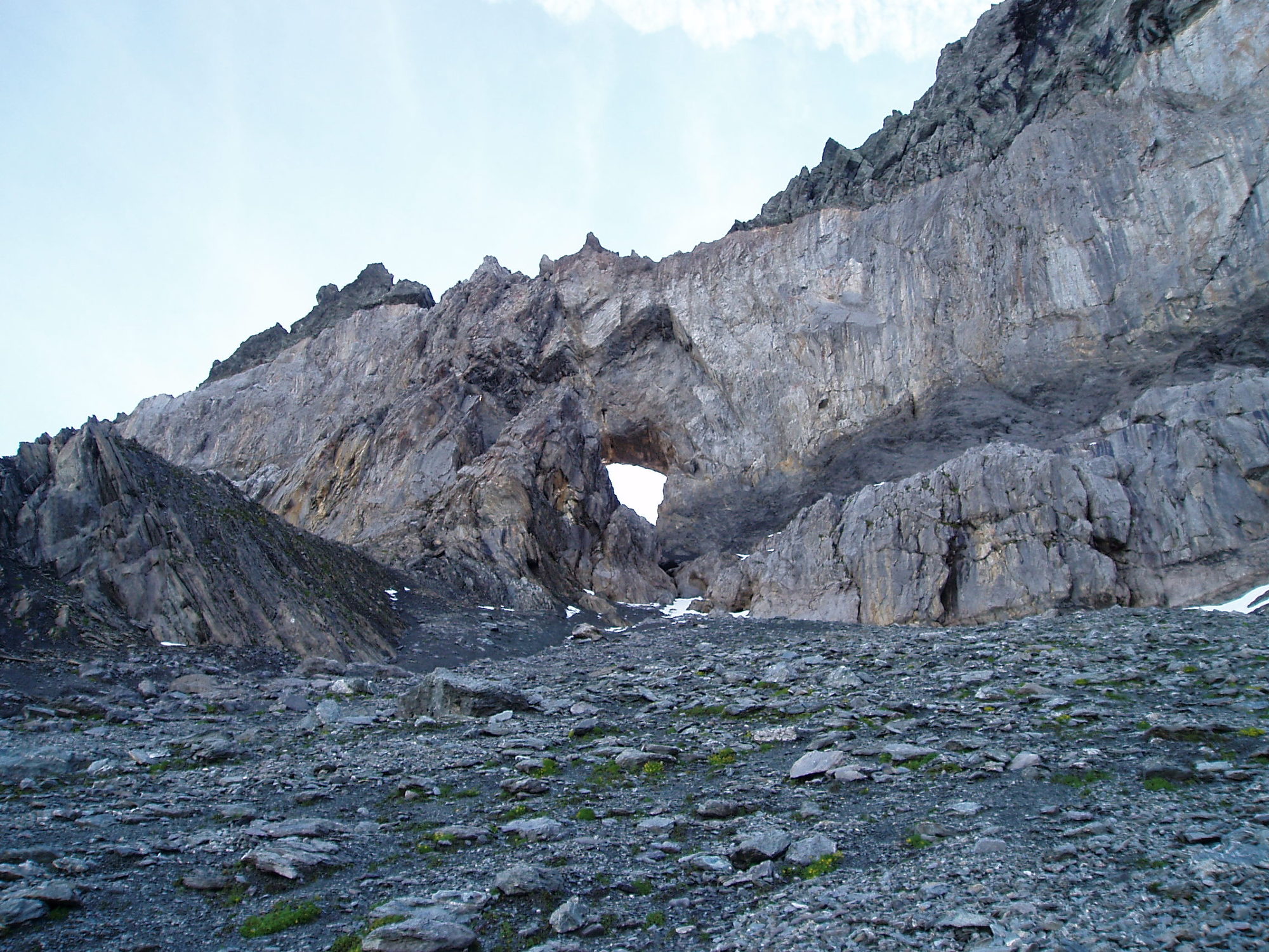
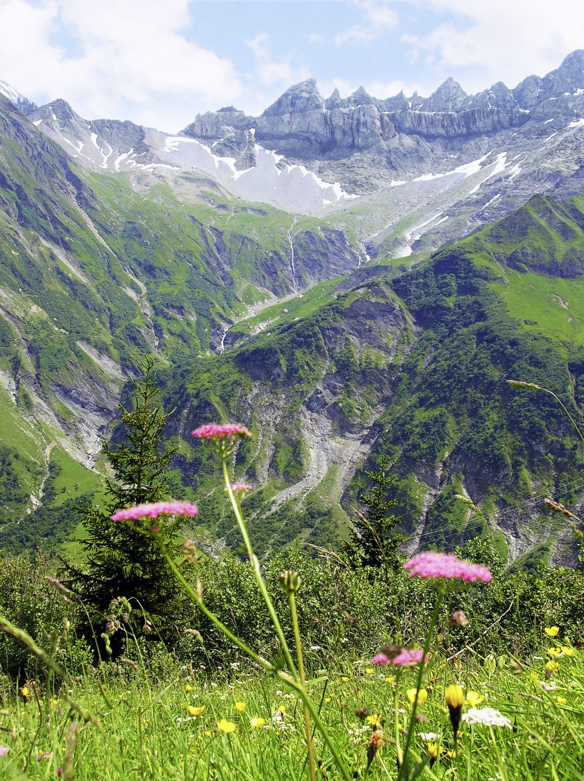
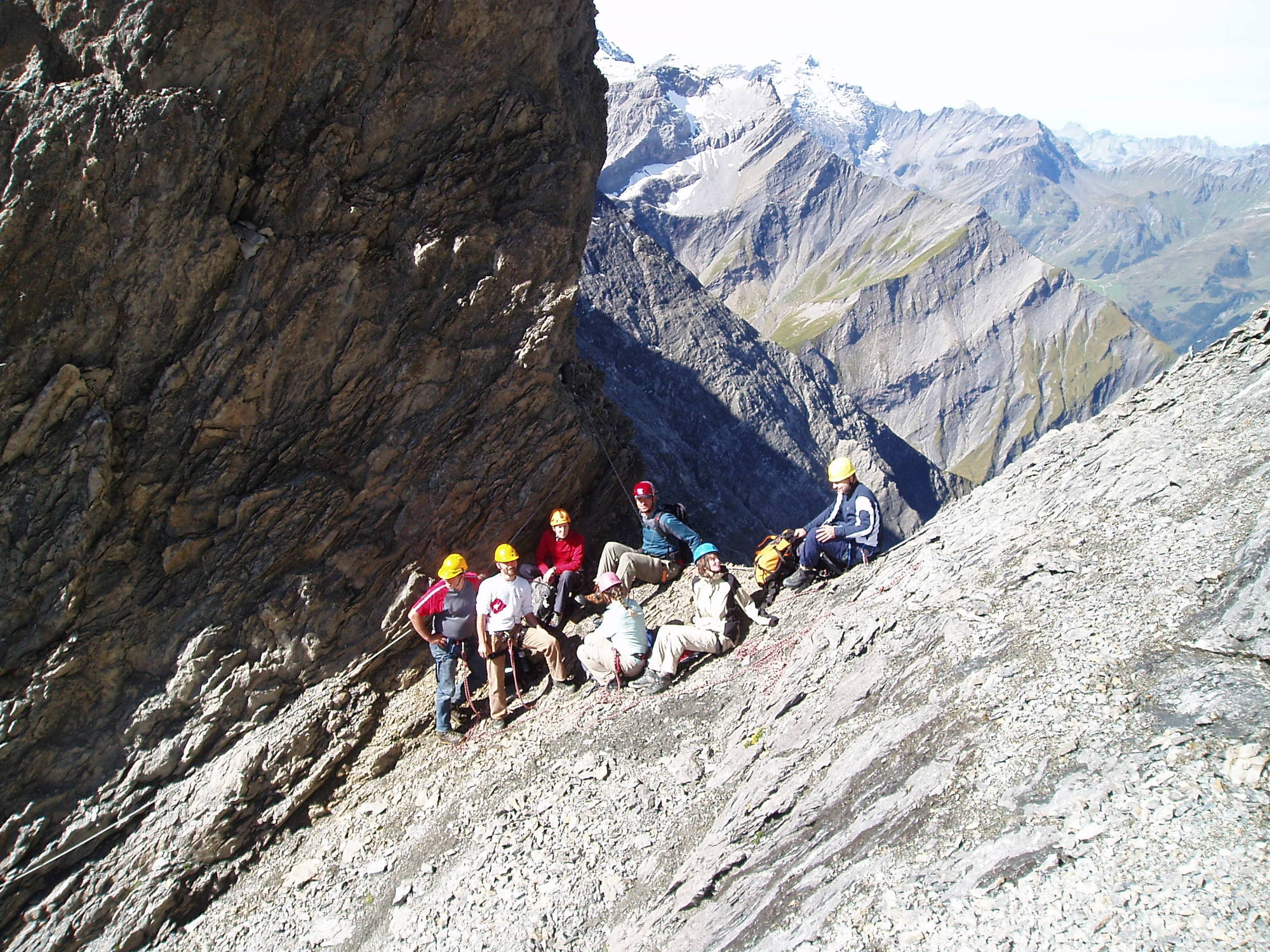
In Begleitung eines lokalen Bergführers das Martinsloch hautnah erleben.
- Difficulty
-
difficult
- Rating
-
- Starting point
-
Talstation der Tschinglenbahn. 07.10 Uhr
- Route
-
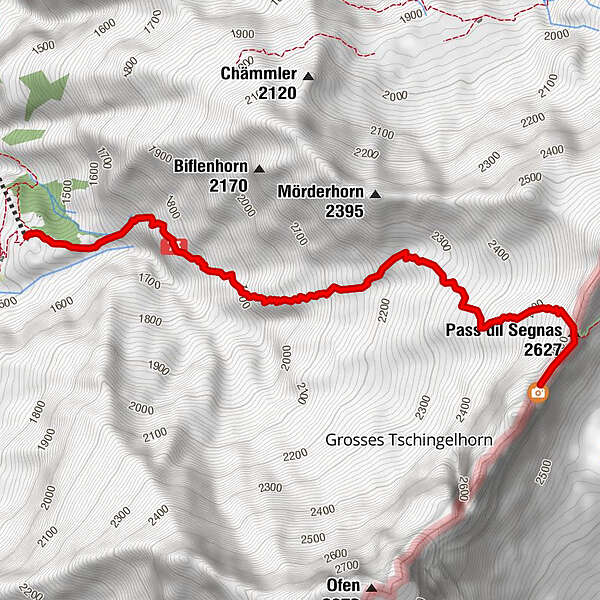
Segnes-Pass3.5 km
- Best season
-
JanFebMarAprMayJunJulAugSepOctNovDec
- Highest point
- 2,594 m
- Rest/Retreat
-
Pause unterwegs und im Martinsloch. Verpflegung aus dem Rucksack.
- Ticket material
-
Topographische Karte Elm Ferienregion 1:25'000
- Information material
-
- Info phone
-
055 642 52 52
- Link
- https://elm.ch/de/map/detail/gefuehrte-tour-zum...
- Source
- Elm Ferienregion
GPS Downloads


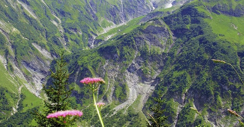
Trail conditions
Asphalt
Gravel
Meadow
Forest
Rock
Exposed
Other tours in the regions
-
Glarnerland
1972
-
Elm
773
-
Elm
206