


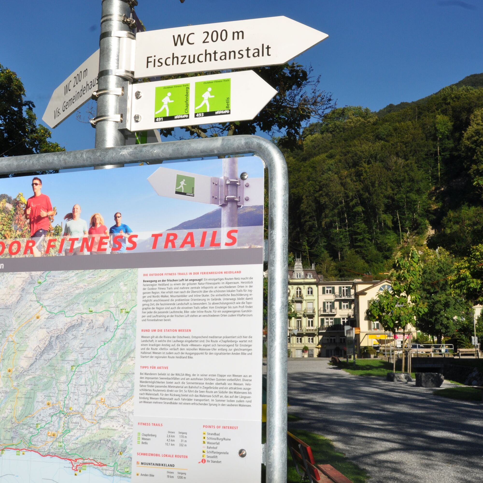
The Outdoor Fitness Trails in the Heidiland vacation region comprise over 30 uniformly signposted running trails from a total of 10 stations, forming one of the largest outdoor fitness parks in the Alps....
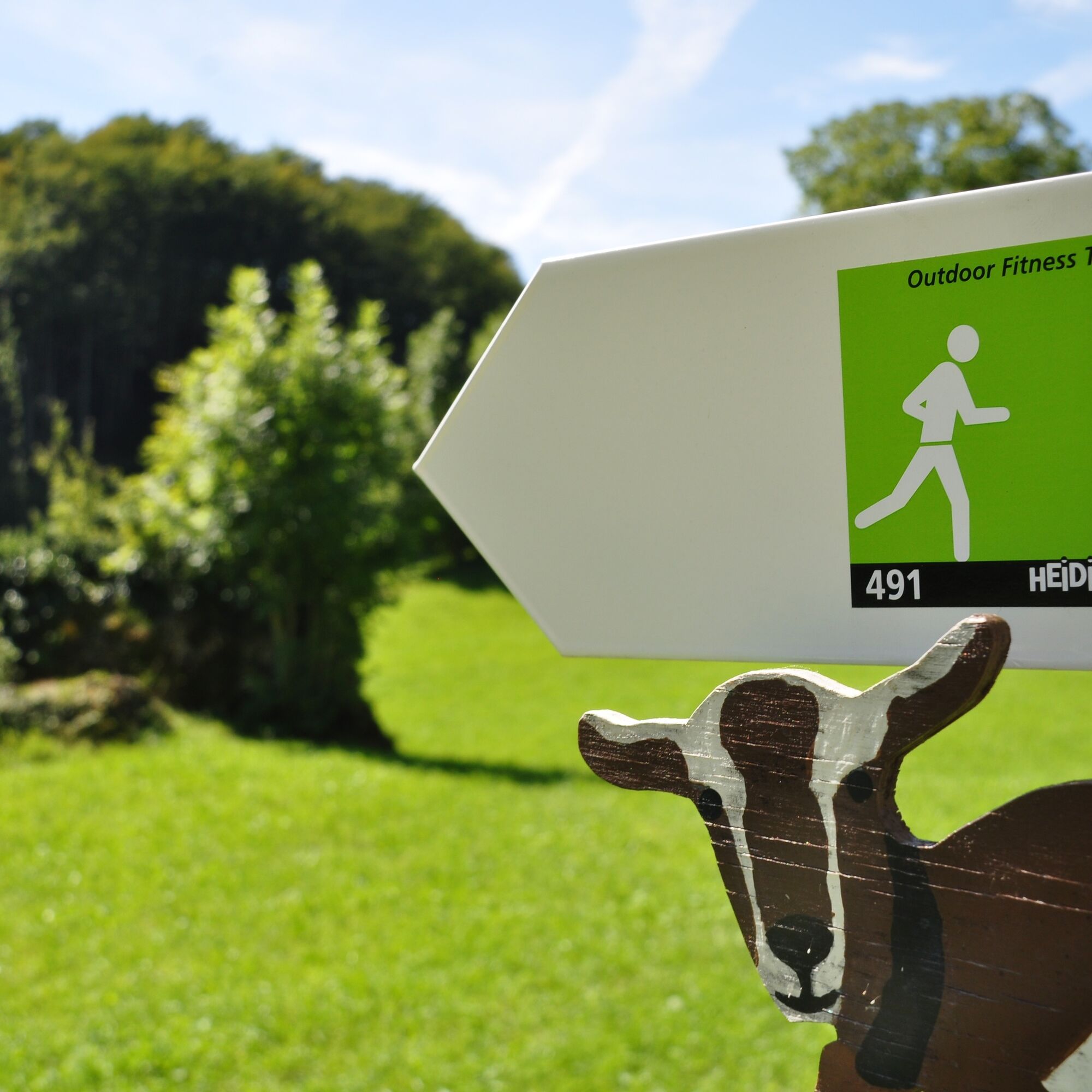
The Outdoor Fitness Trails in the Heidiland vacation region comprise over 30 uniformly signposted running trails from a total of 10 stations, forming one of the largest outdoor fitness parks in the Alps. The Chapfenberg Trail is one of three running trails around the Weesen station.
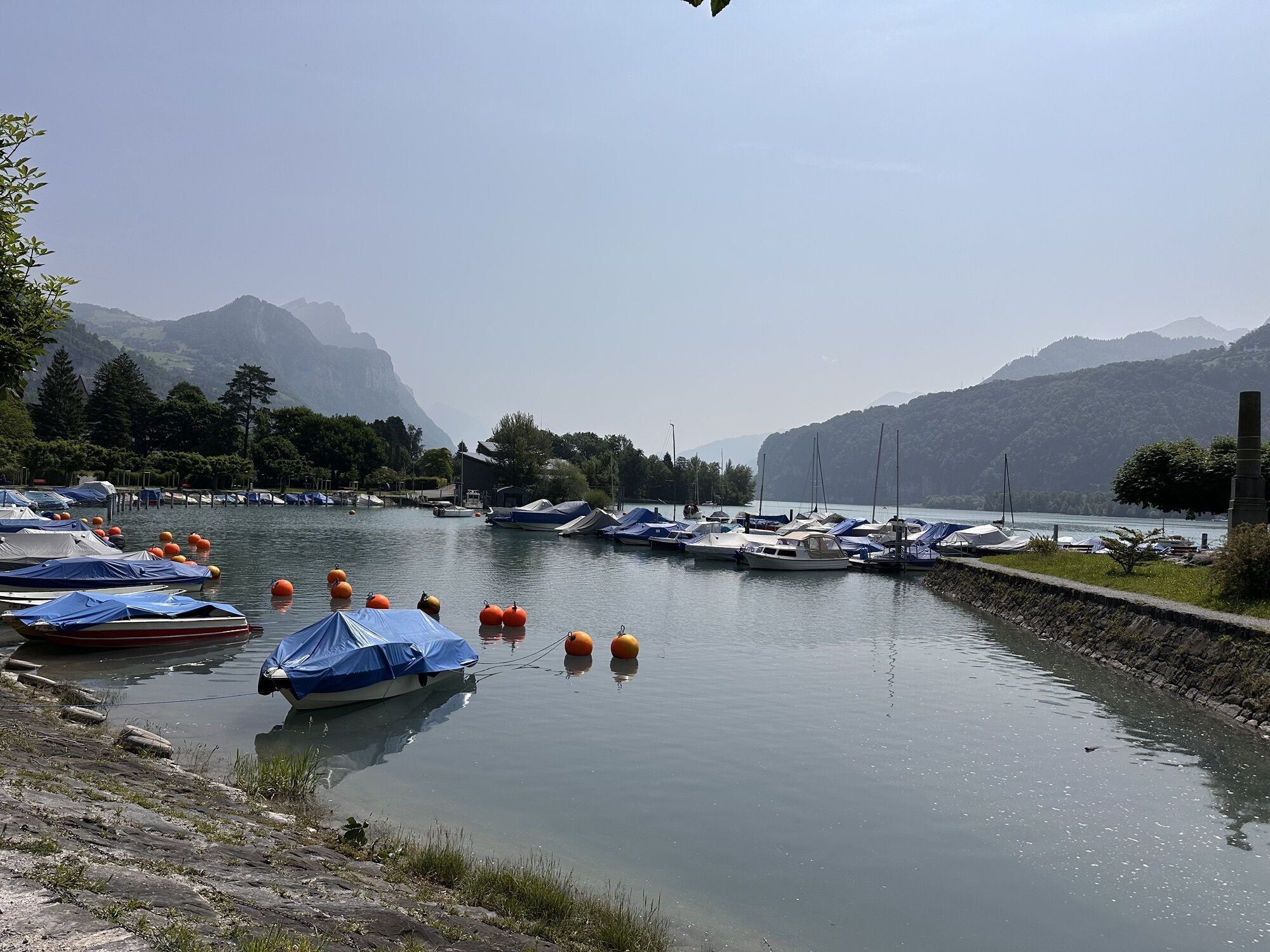
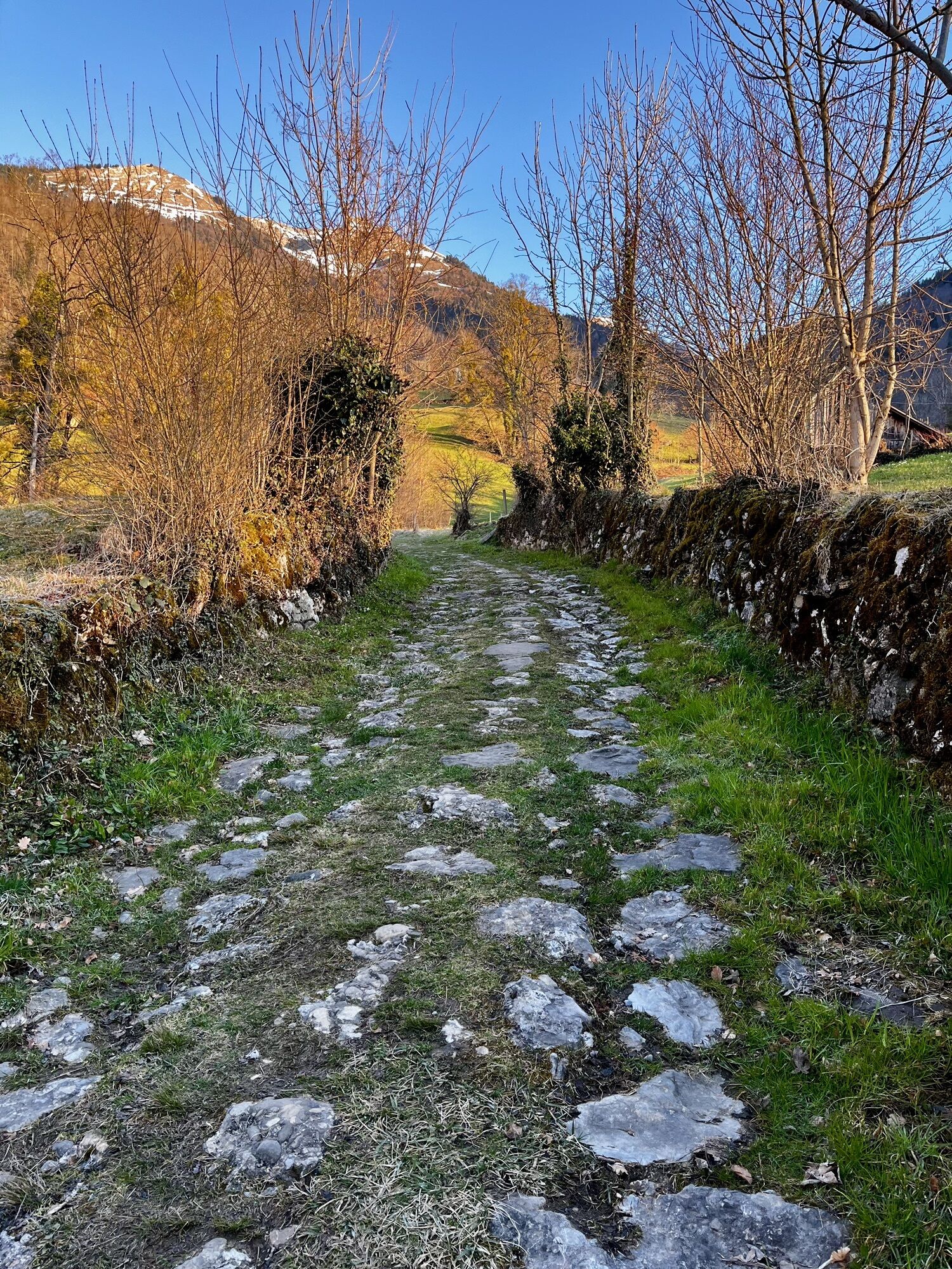
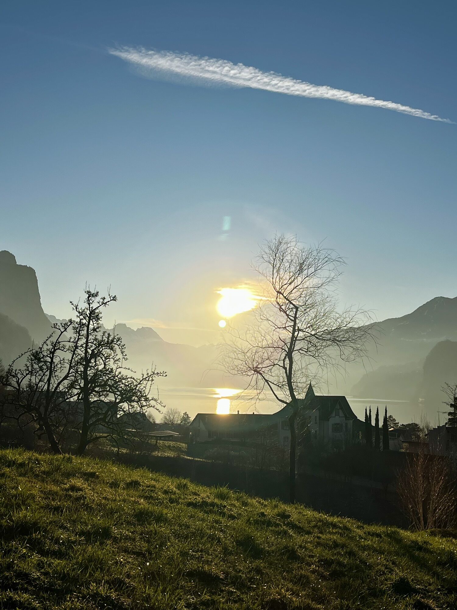
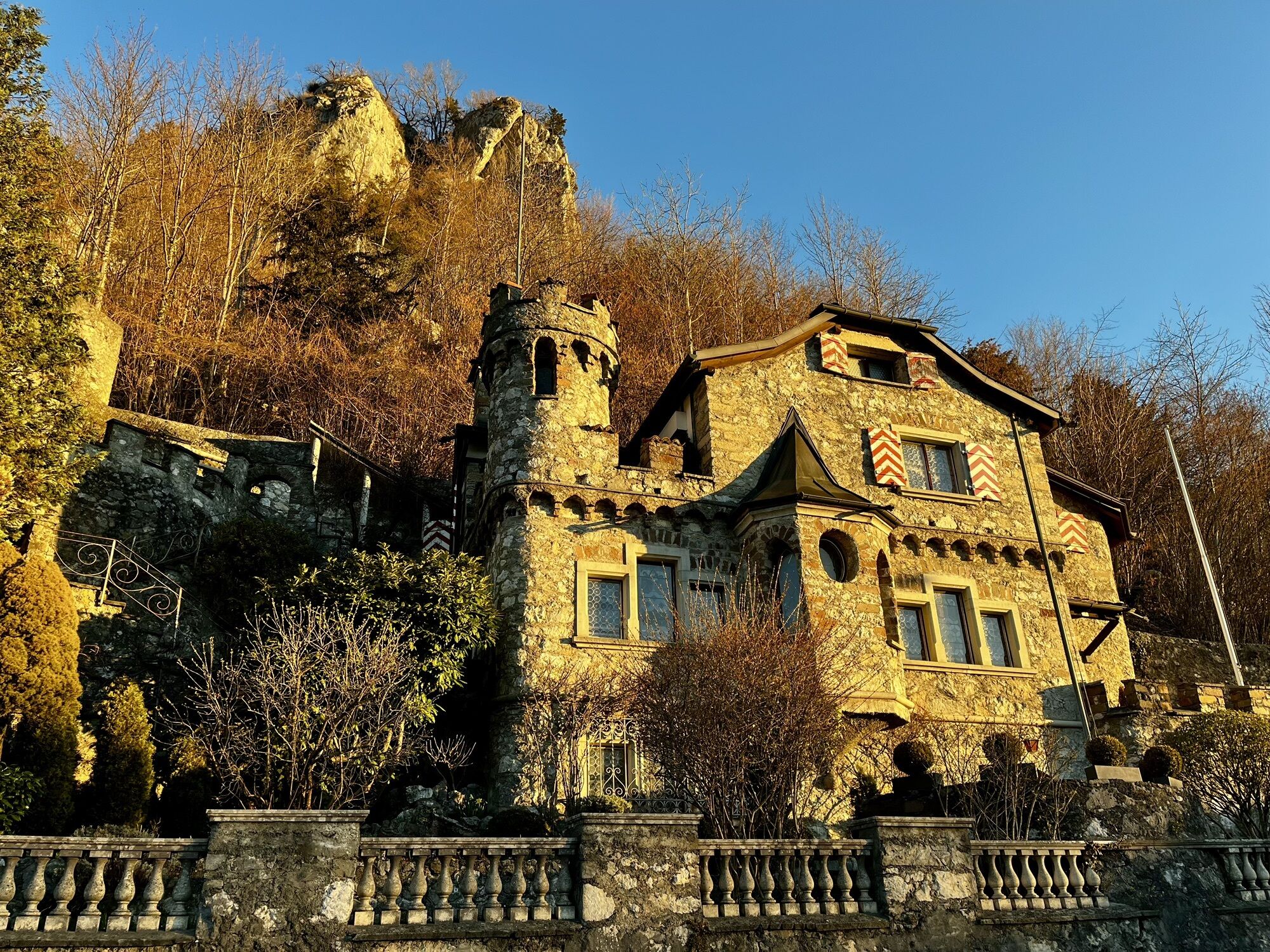
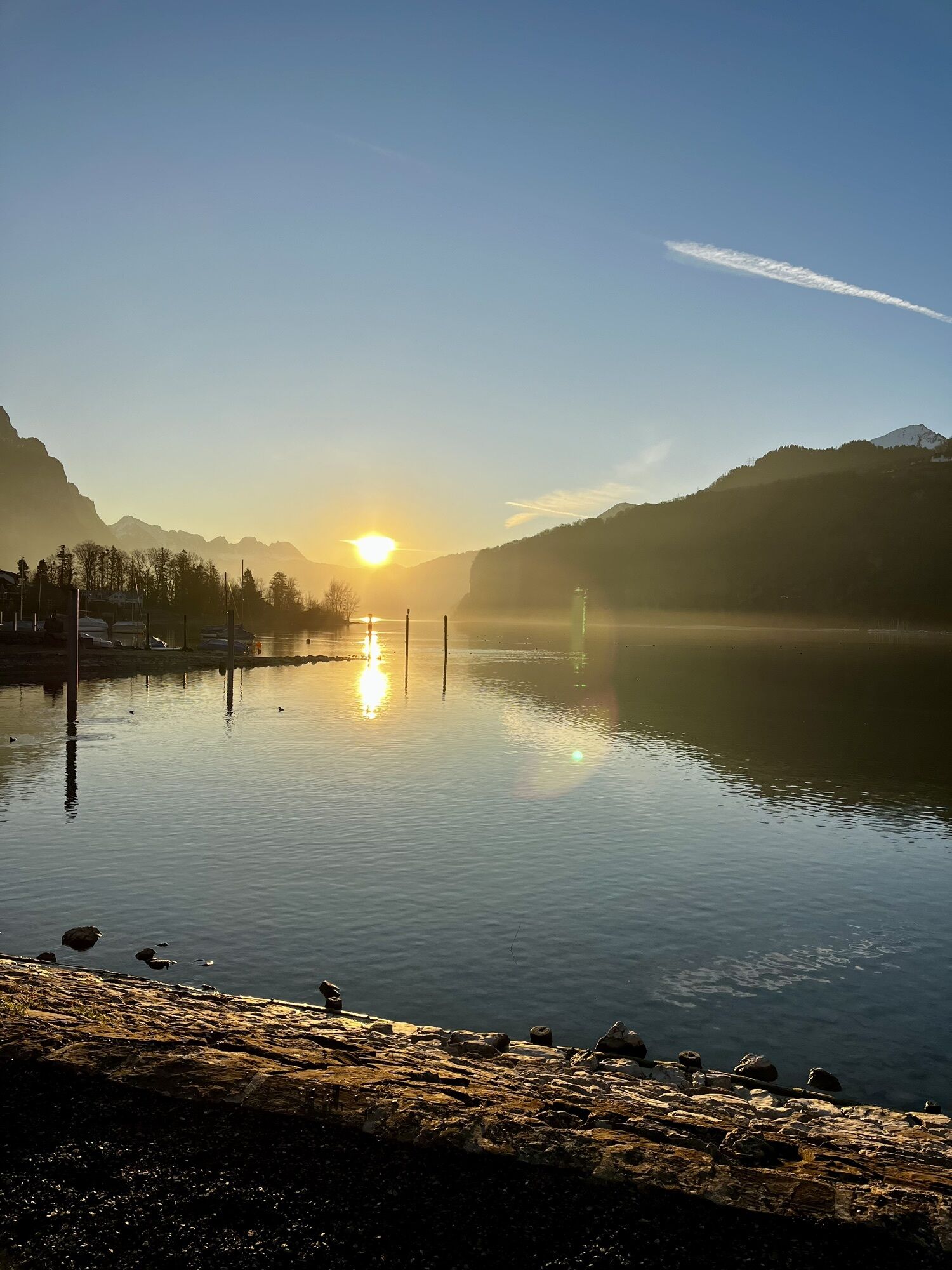
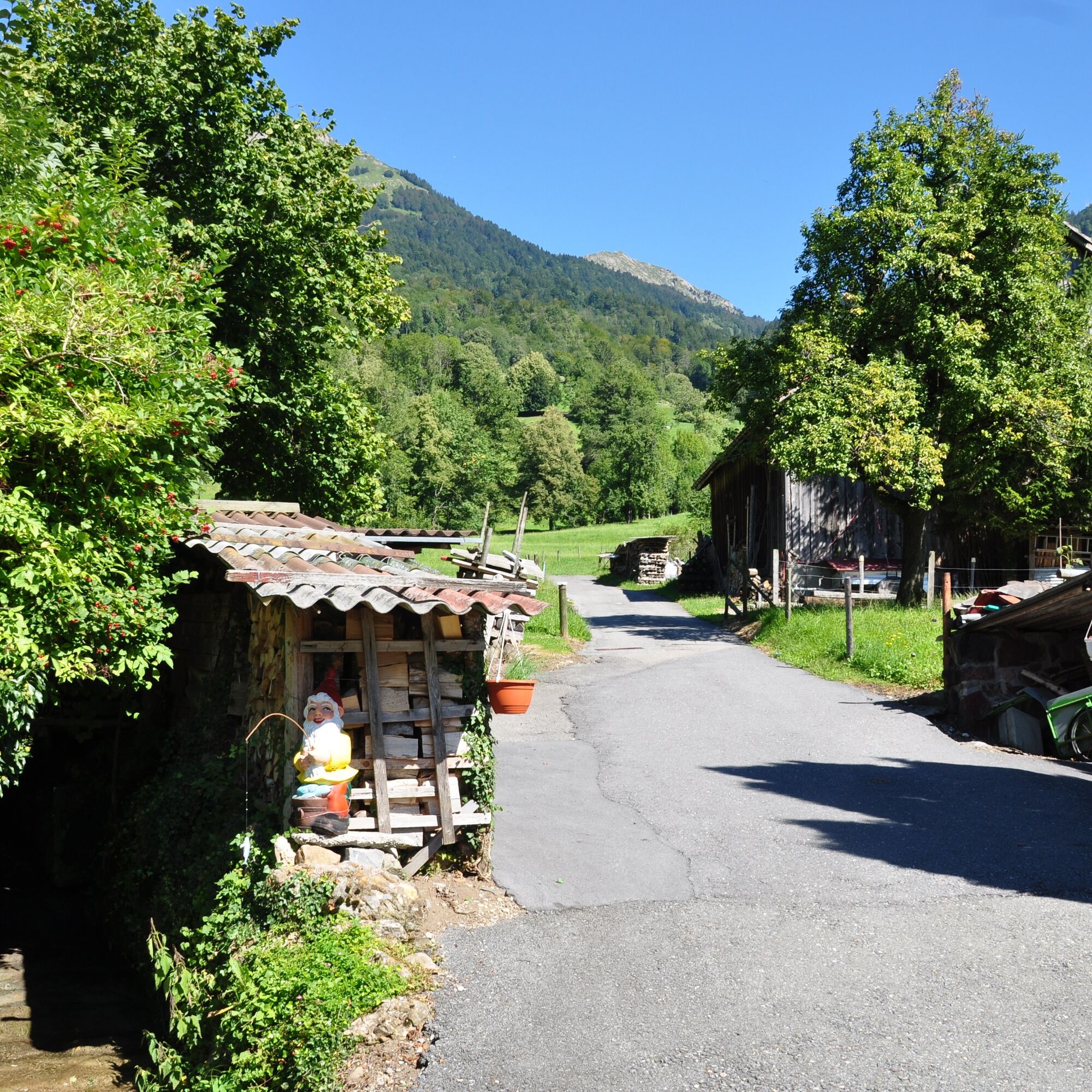
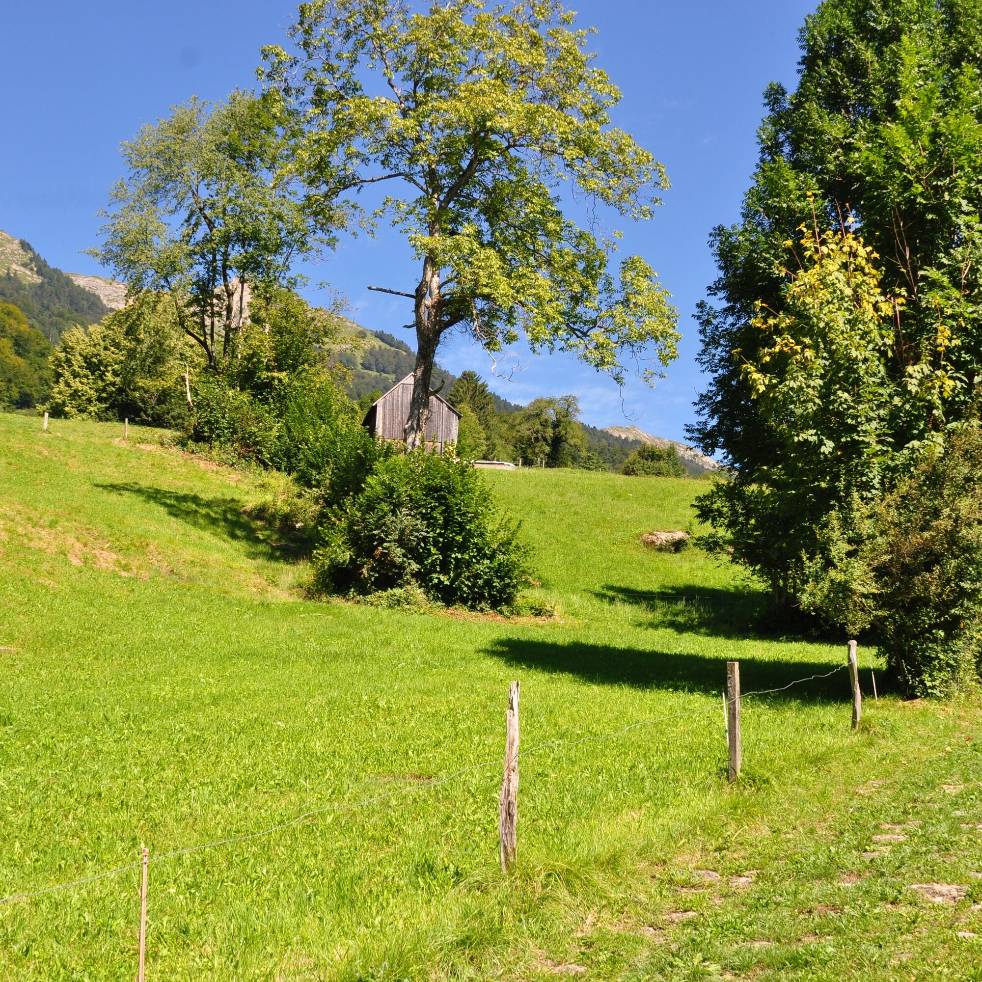
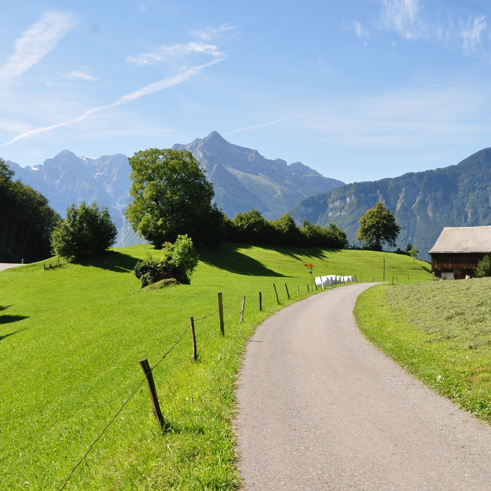
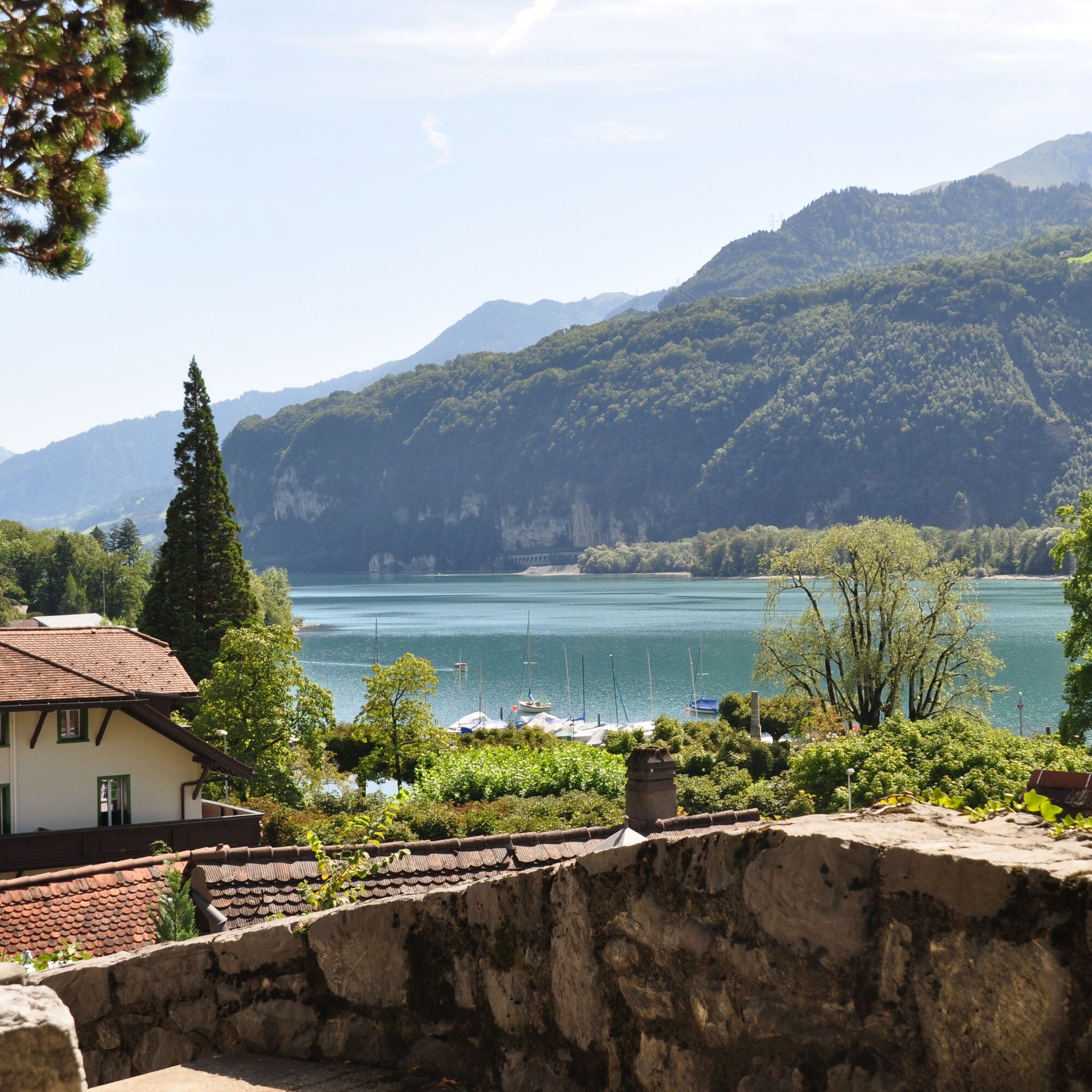
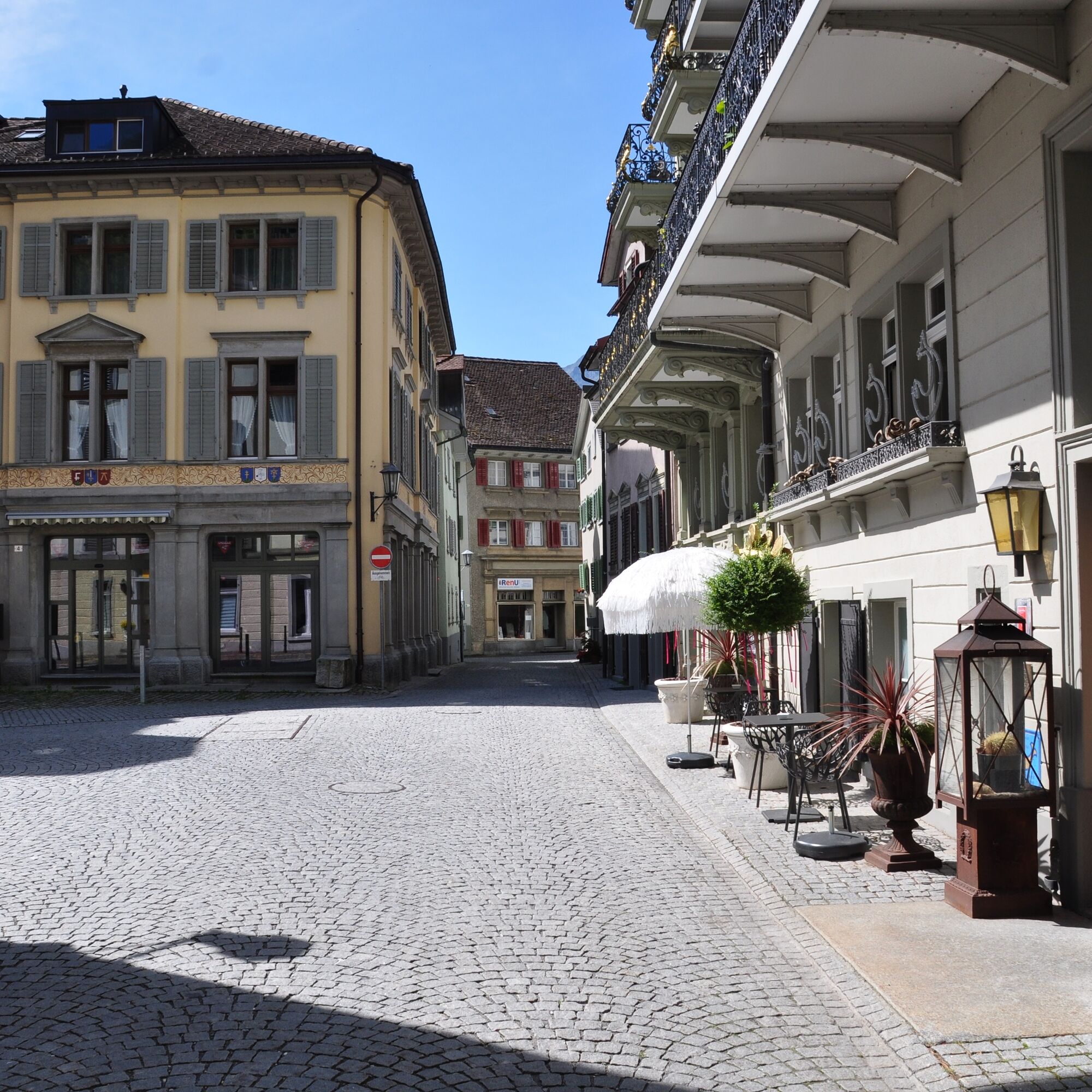
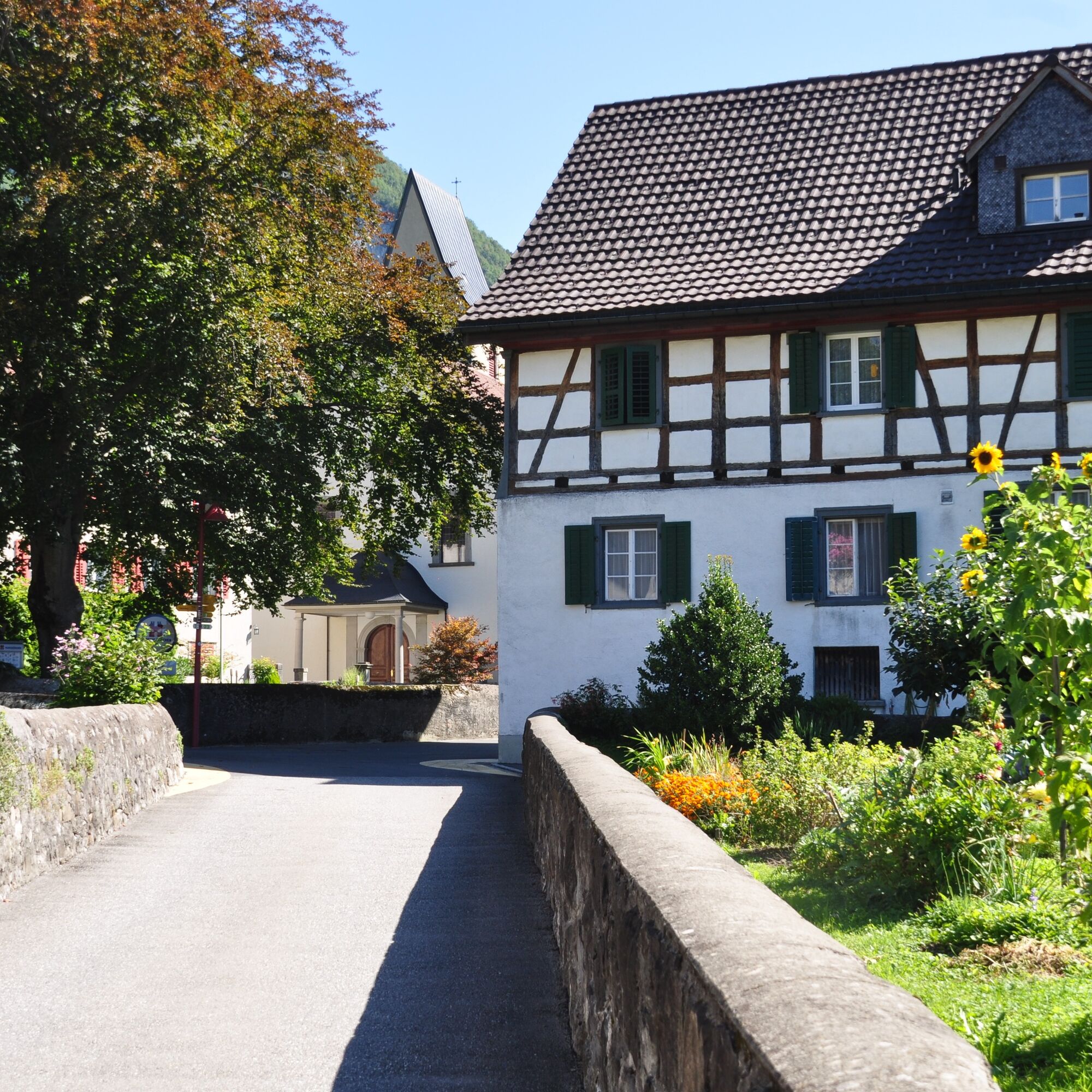
The starting point for this 2.6 km trail is the Weesen station info point at the Schifflände (423 m above sea level). The first section runs along the lake to the road leading to Amden (428 m above sea level). As soon as you have crossed the road and reached the last houses on the northern edge of the village, a steep ascent begins on an agricultural path. This leads across meadows, through small deciduous forests and past streams to Salen (560 m above sea level). Once you reach the plateau, you have a magnificent view of the surrounding mountains and Lake Walen. After a short passage straight ahead, the trail turns left across a meadow in the direction of Chapfenberg. The relatively short meadow section is followed by an equally short section on a well-maintained gravel path to Hundsiten. Here begins the steep and technically demanding descent over hill and dale through partly dense deciduous forest (beware of the risk of slipping in wet conditions!). The intermediate destination is a small clearing with a magnificent view of the surrounding vineyards, Lake Walen and the mountains. The technically difficult section is now behind you, as the trail leads up a flight of steps to the village entrance high above Weesen. Back to the Infopoint, the trail runs partly on cobblestone streets through picturesque alleyways and little streets.

Weesen - Salen - Hundsiten - Weesen
Good and comfortable jogging equipment.
Take the highway exit Weesen, then take the main road to Weesen and follow the signs to See.
Take the train to Ziegelbrücke and then the bus to Weesen See.
Public parking spaces available at the Weesen lakeside promenade (subject to charge)
Heidiland Tourism
Info point Unterterzen
T +41 81 720 17 17
www.heidiland.com
Most of the Outdoor Fitness Trails run along official hiking trails. The hiking trail signage therefore also helps with orientation along the way.
Popular tours in the neighbourhood
-
4.7
Riviera Walensee Walenstadt - Quinten
mediumHiking 10.4 km -
4.6
Riviera Lake Walen Weesen – Quinten
mediumHiking 10.2 km -
4.5
Weesen - Quinten - Walenstadt
heavyHiking 20.6 km -
5.0
Schrina Alp and Cultural Trail
mediumThematic route 11.5 km -
4.6
4-Summit-Route Flumserberg
mediumHiking 8.65 km -
4.5
Amden - Speer (Rundkurs)
lightHiking 17.6 km -
3.3
Seerenbach waterfalls
lightHiking 4.38 km -
5.0
Fronalpstock GL
mediumHiking 7.84 km -
4.2
Bockmattli
mediumHiking 12.4 km -
4.8
Vorder Glärnisch
mediumHiking 4.64 km

Hiking & Tracking


Don't miss out on offers and inspiration for your next holiday
Your e-mail address has been added to the mailing list.