


Tour data
4.64km
1,043
- 2,317m
1,274hm
01:44h
- Brief description
-
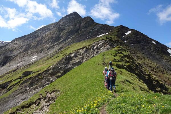
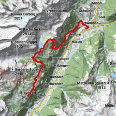
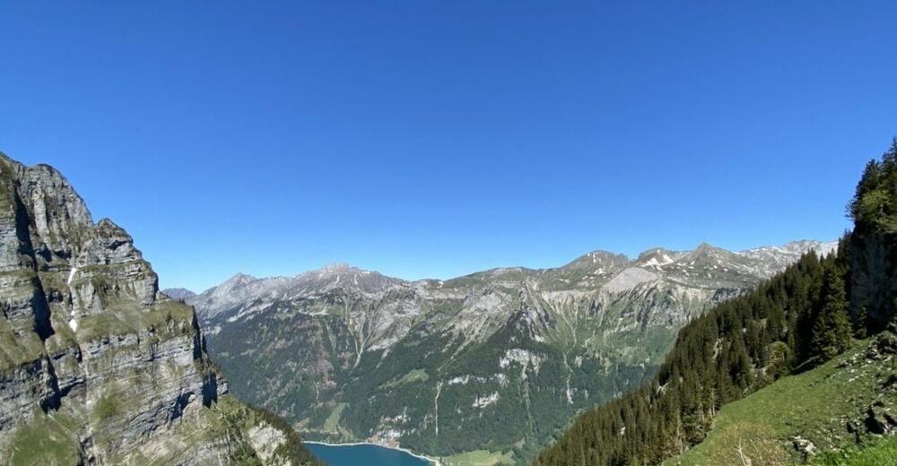
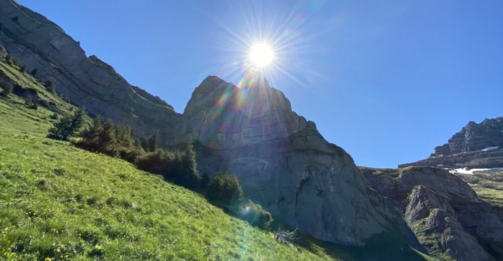
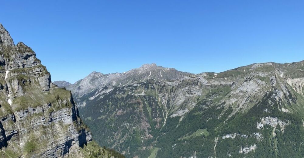
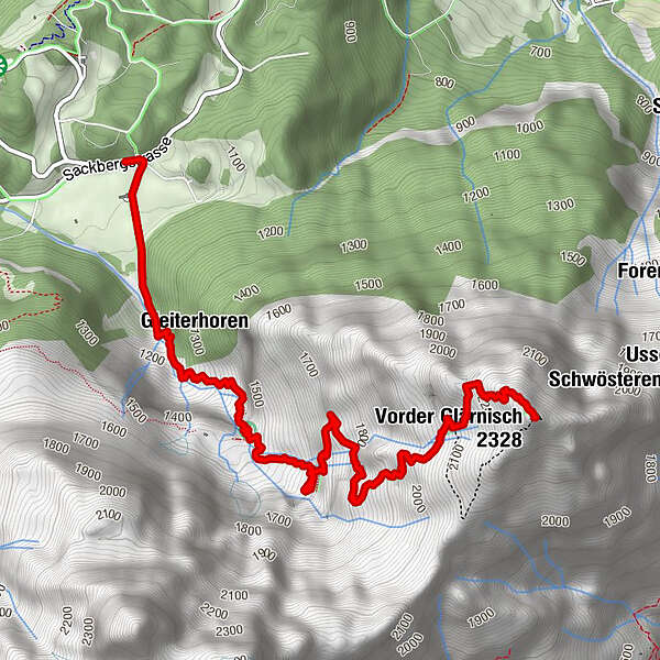
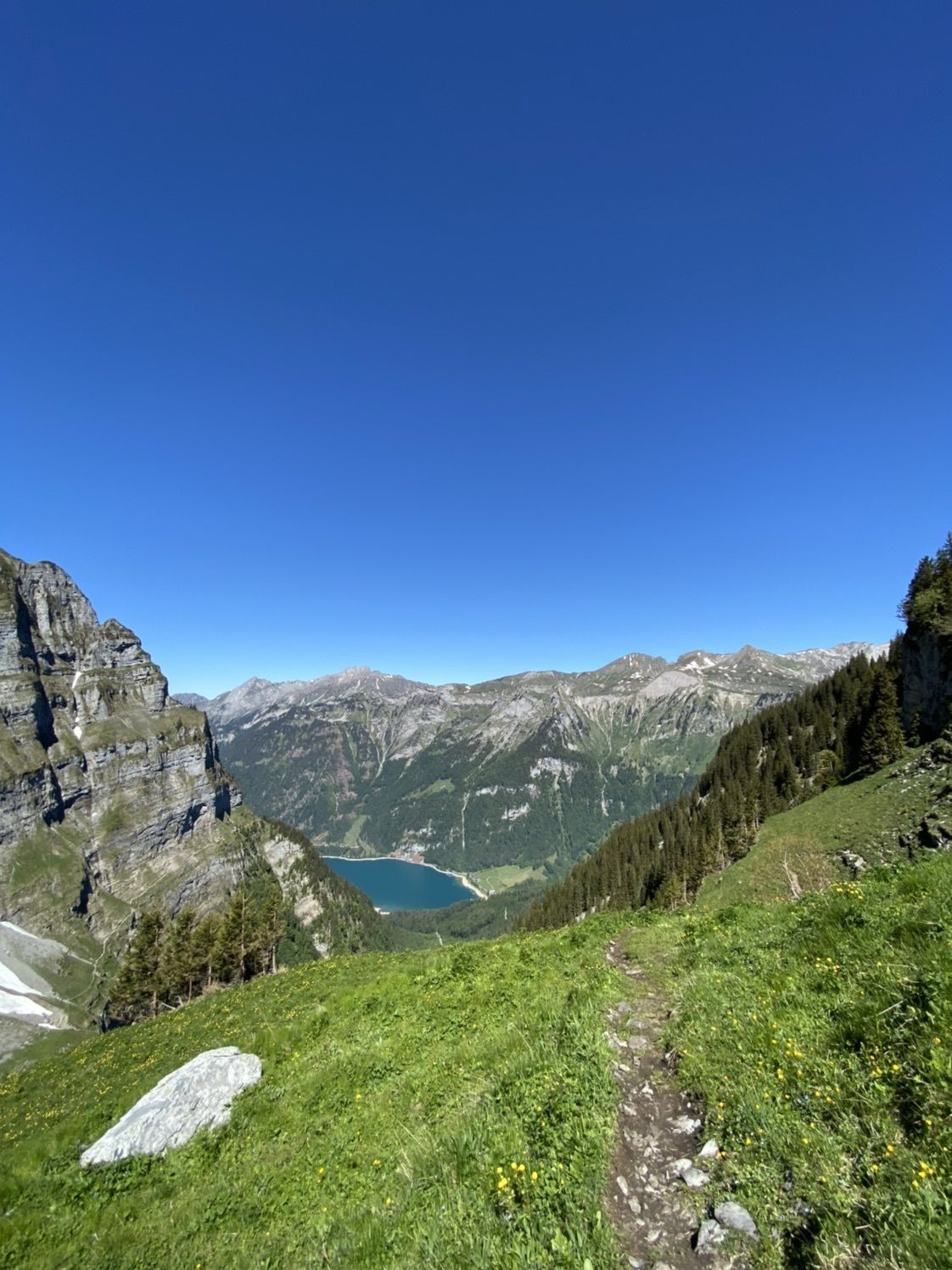
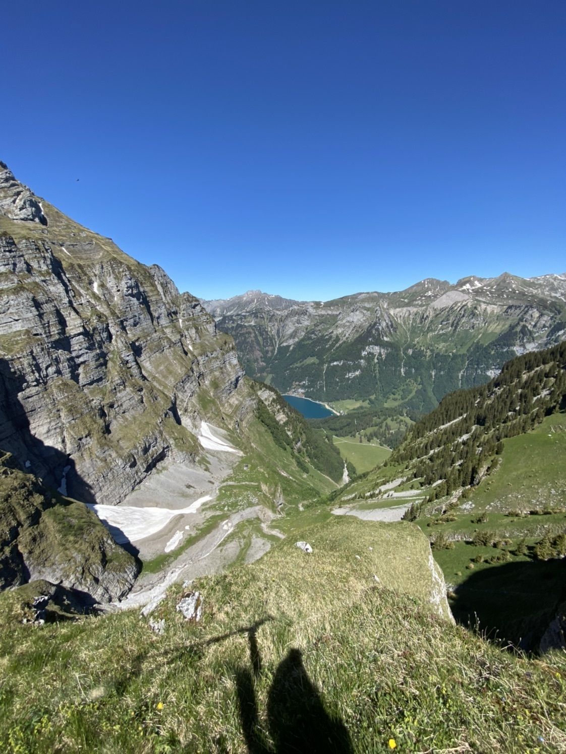
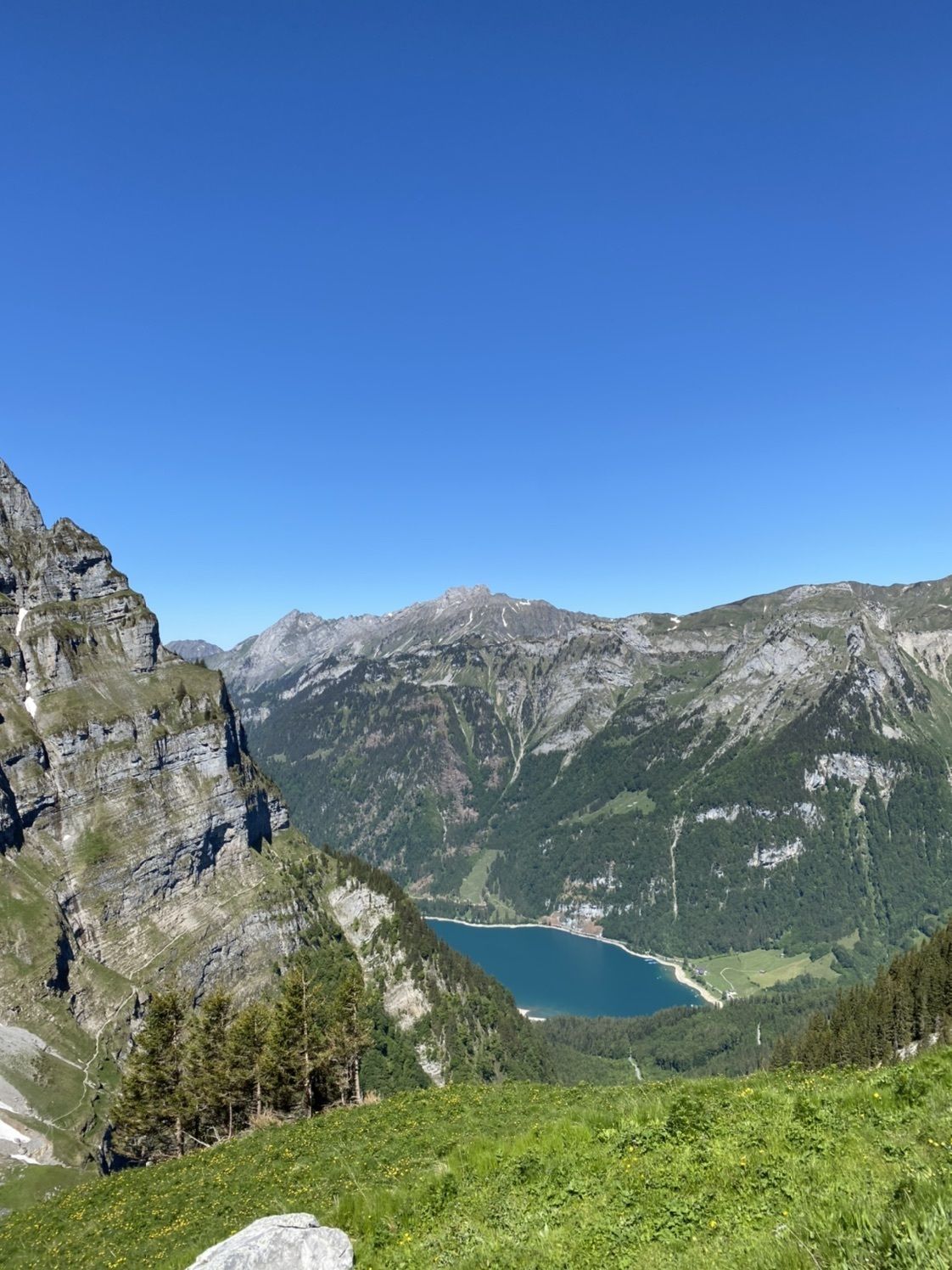
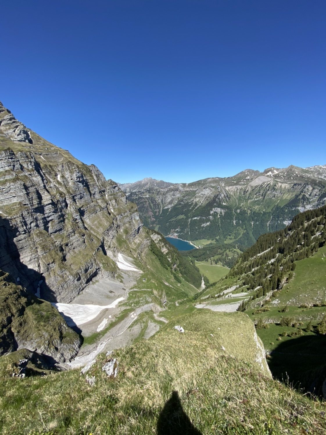
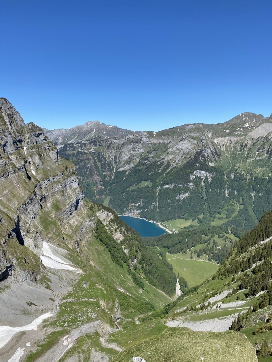
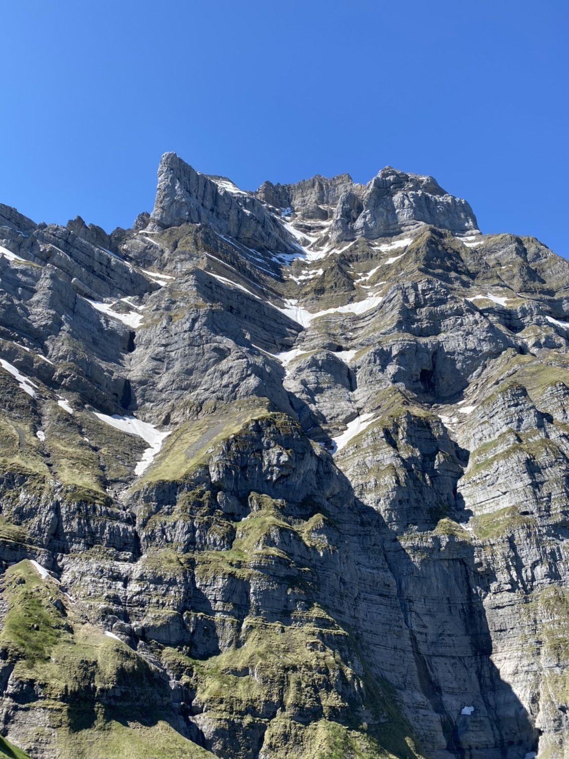
Vorder Glärnisch ab Schwammhöchi
- Difficulty
-
medium
- Rating
-
- Route
-
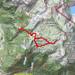
Stäfeli1.3 kmVorder Glärnisch (2,328 m)4.6 km
- Highest point
- 2,317 m

GPS Downloads


Other tours in the regions
-
Glarnerland
1972
-
Glarus Süd
717
-
Klöntal
159