© Heidiland Tourismus - Dolores Rupa
© Heidiland Tourismus - Ramona Saxer

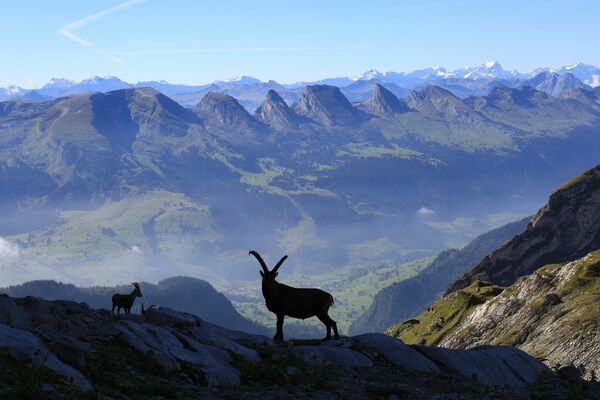
© Heidiland Tourismus - Jean-Pierre Brunschwiler

- Brief description
-
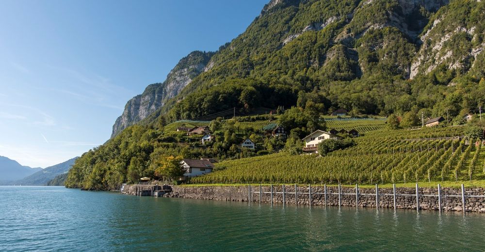
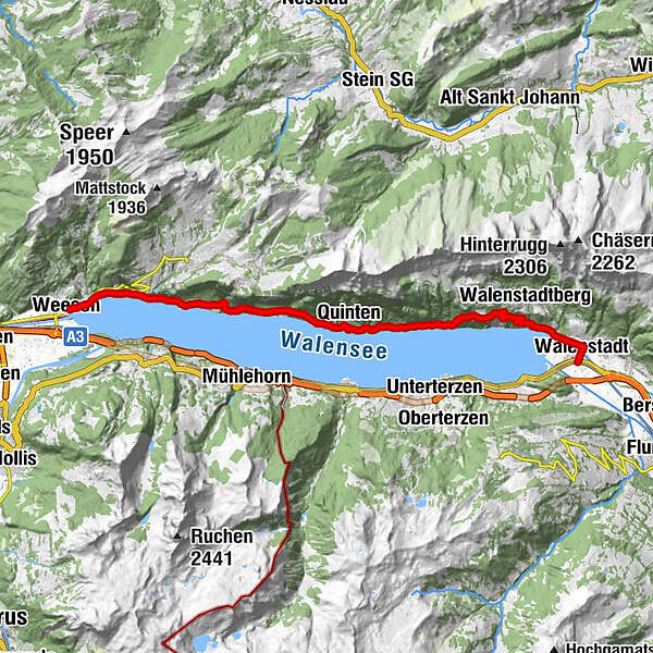
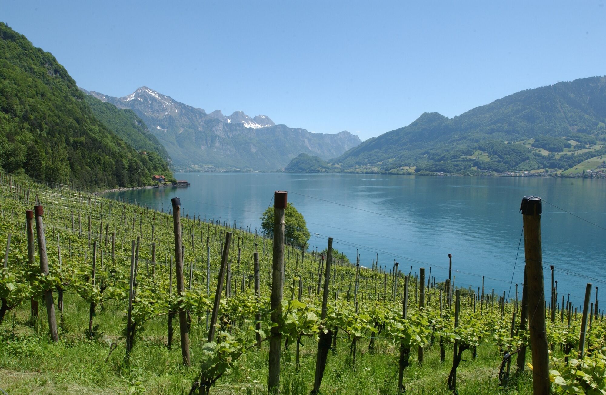
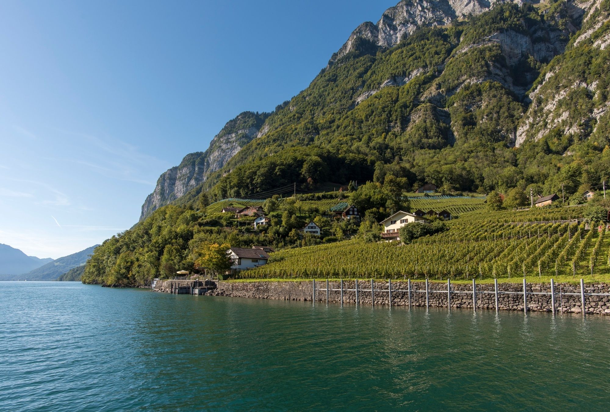
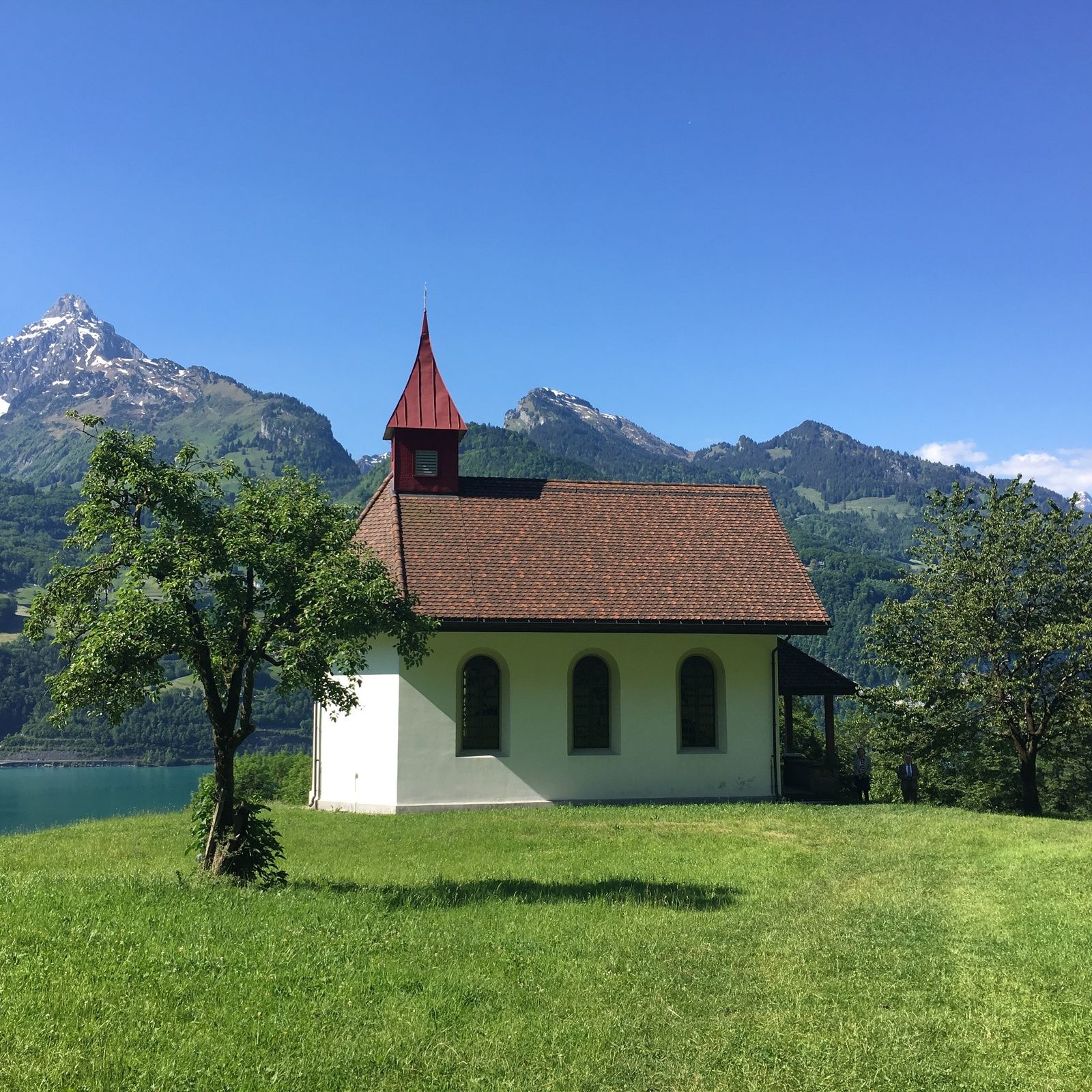
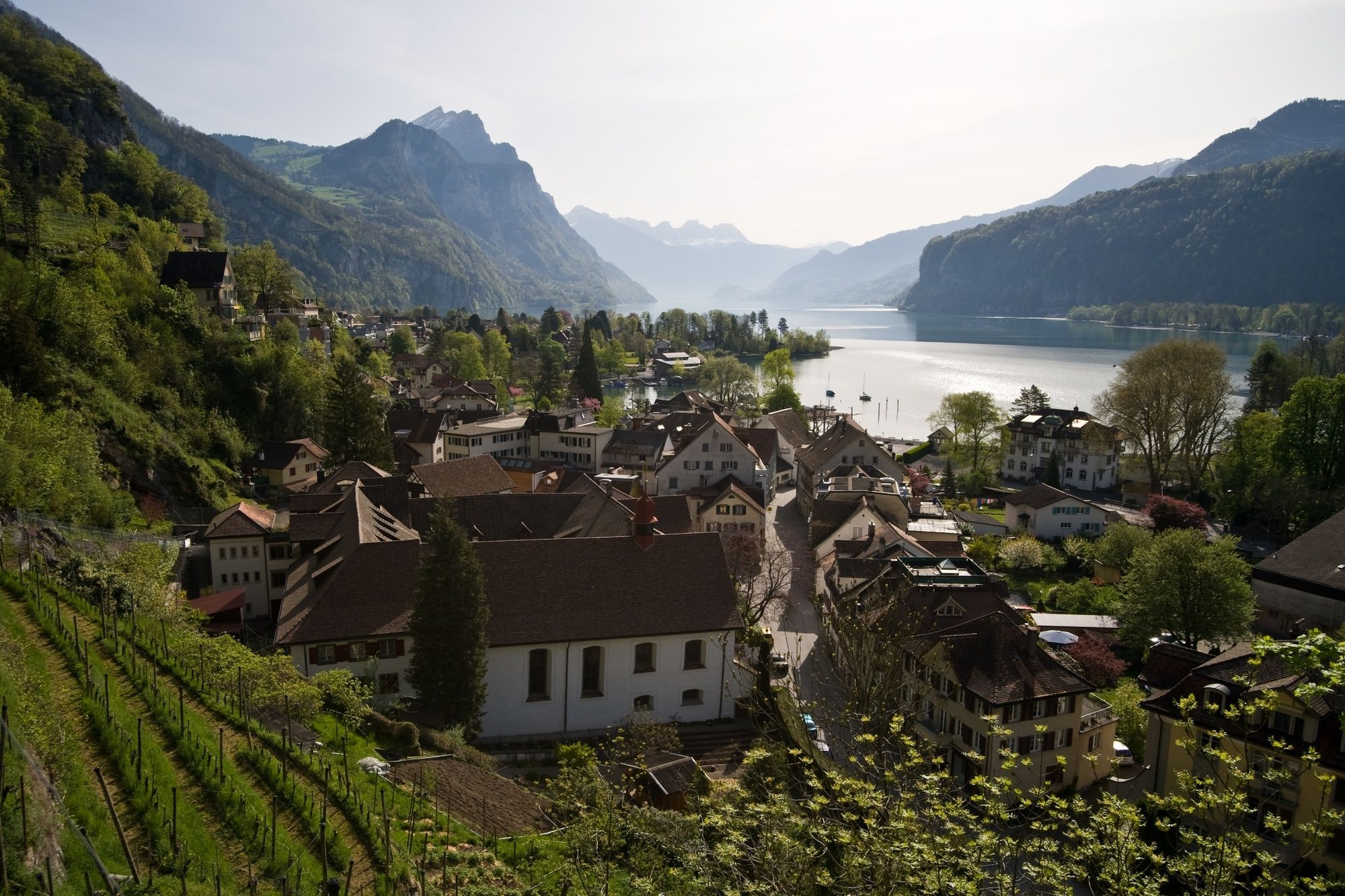
The popular hiking route on the southern shore of Lake Walen leads to car-free villages and past stunning waterfalls.
- Difficulty
-
difficult
- Rating
-
- Route
-
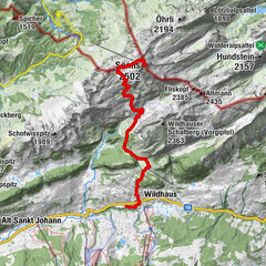
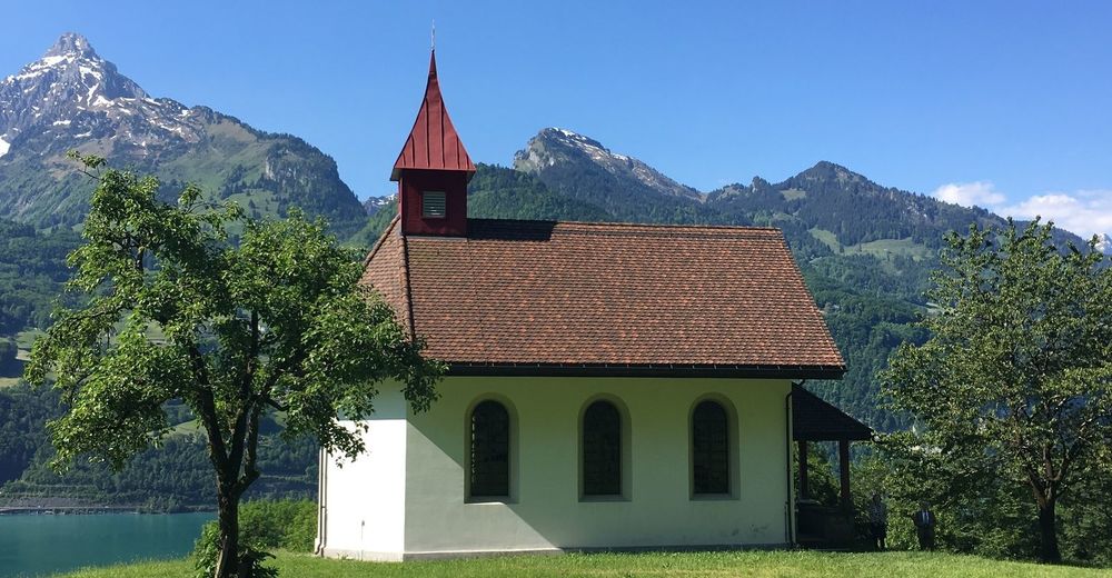
Weesen (423 m)Weesen (See) (424 m)0.0 kmLago Mio1.8 kmMuslenfall2.9 kmStrahlegg3.9 kmBetlis4.0 kmVorderbetlis4.9 kmWasserfall5.2 kmSeeren5.7 kmTscherüti9.0 kmLaueli9.3 kmLaui9.4 kmGräppli9.7 kmGrappen9.7 kmStutz9.8 kmWannen9.9 kmQuinten (434 m)10.0 kmRebli10.0 kmTremondi10.0 kmQuinten (419 m)10.1 kmKapelle St. Bernhard10.1 kmSchifflände10.2 kmSeehus10.2 kmAu (434 m)11.1 kmSchilt11.8 kmGand12.7 kmGändli12.9 kmWalenstadt (427 m)20.2 kmReformierte Kirche20.3 kmWalenstadt (426 m)20.6 km
- Best season
-
JanFebMarAprMayJunJulAugSepOctNovDec
- Highest point
- 839 m
- Endpoint
-
Walenstadt, Bahnhof
- Height profile
-
 © outdooractive.com

-

-
AuthorThe tour Weesen - Quinten - Walenstadt is used by outdooractive.com provided.
GPS Downloads


General info
Refreshment stop
Flora
A lot of view