


Photos from our users
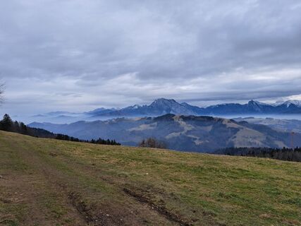
 © RudiCreated on 12.02.2025
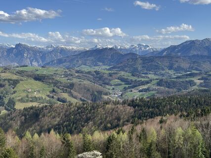
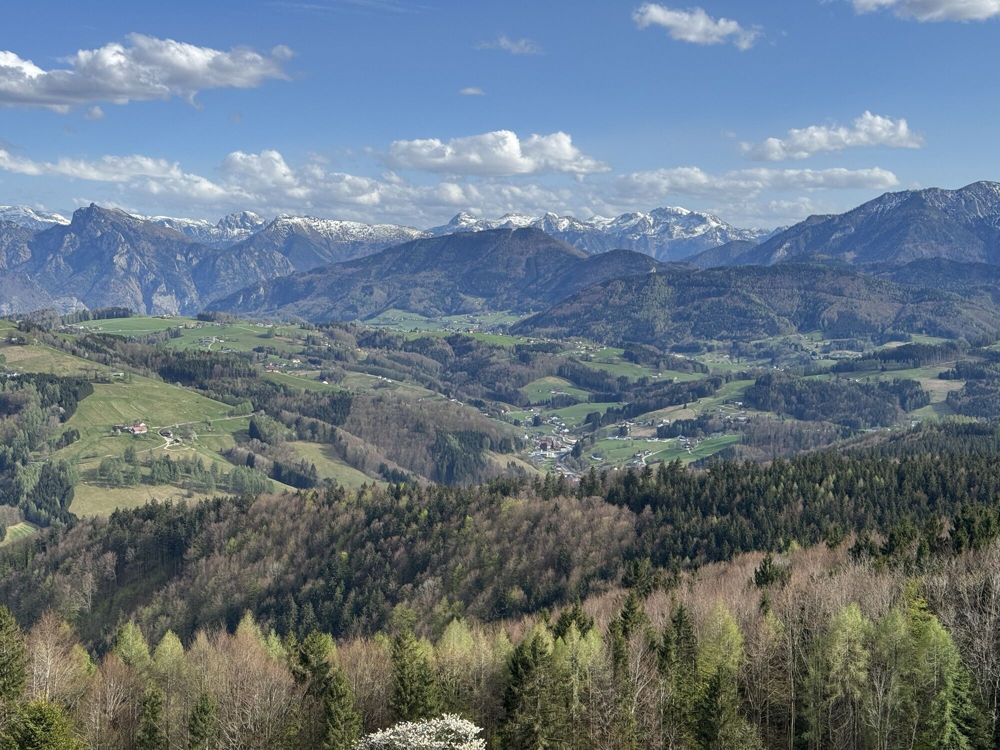
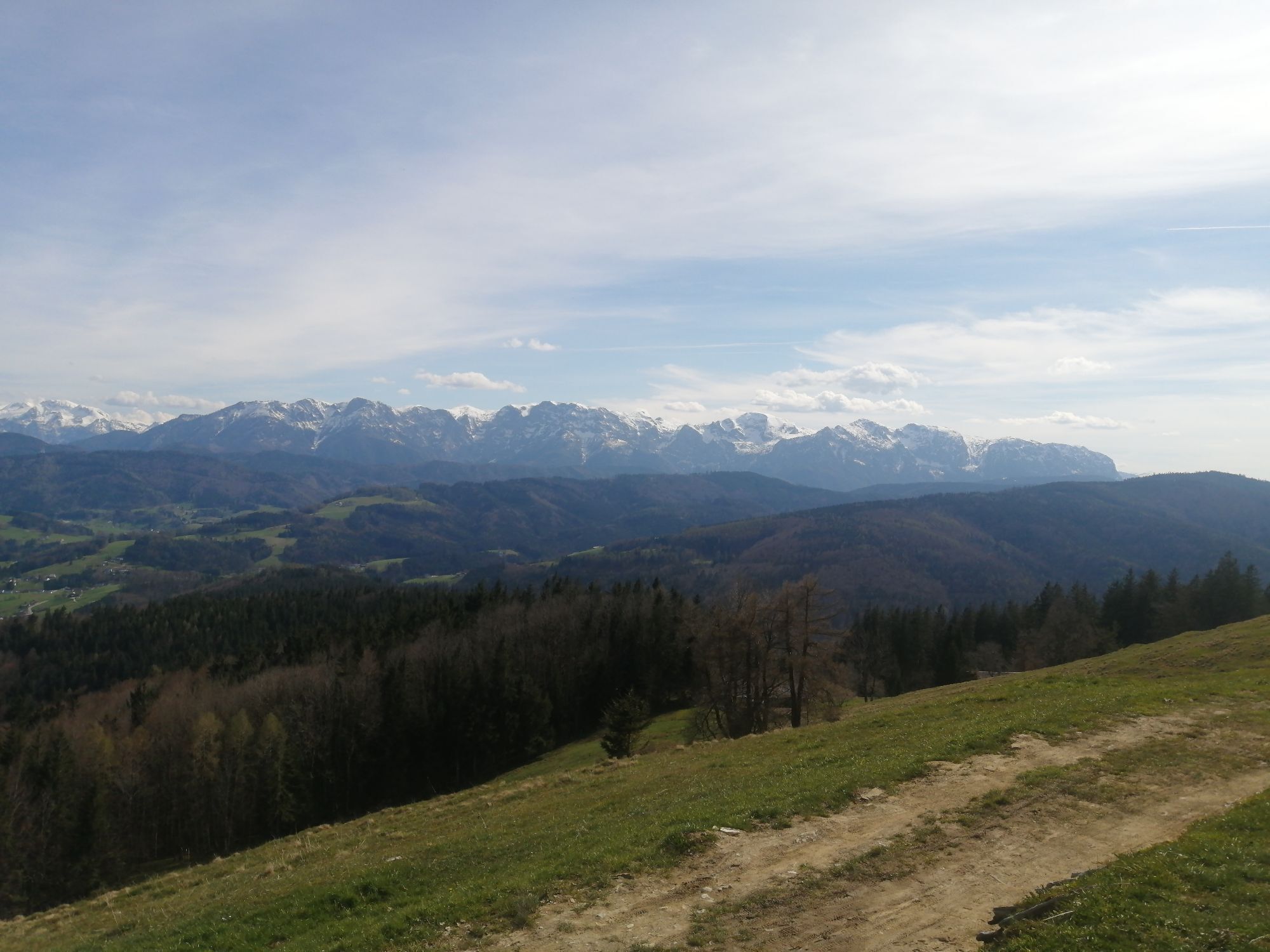
 © Johann WiesmüllerCreated on 16.04.2025
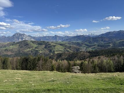 © Johann WiesmüllerCreated on 16.04.2025
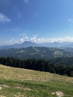
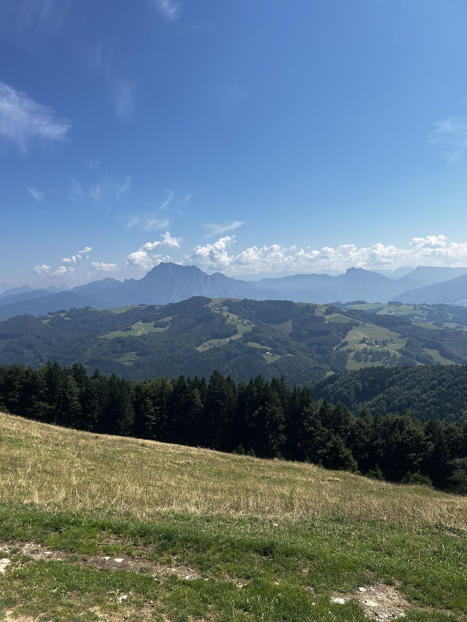
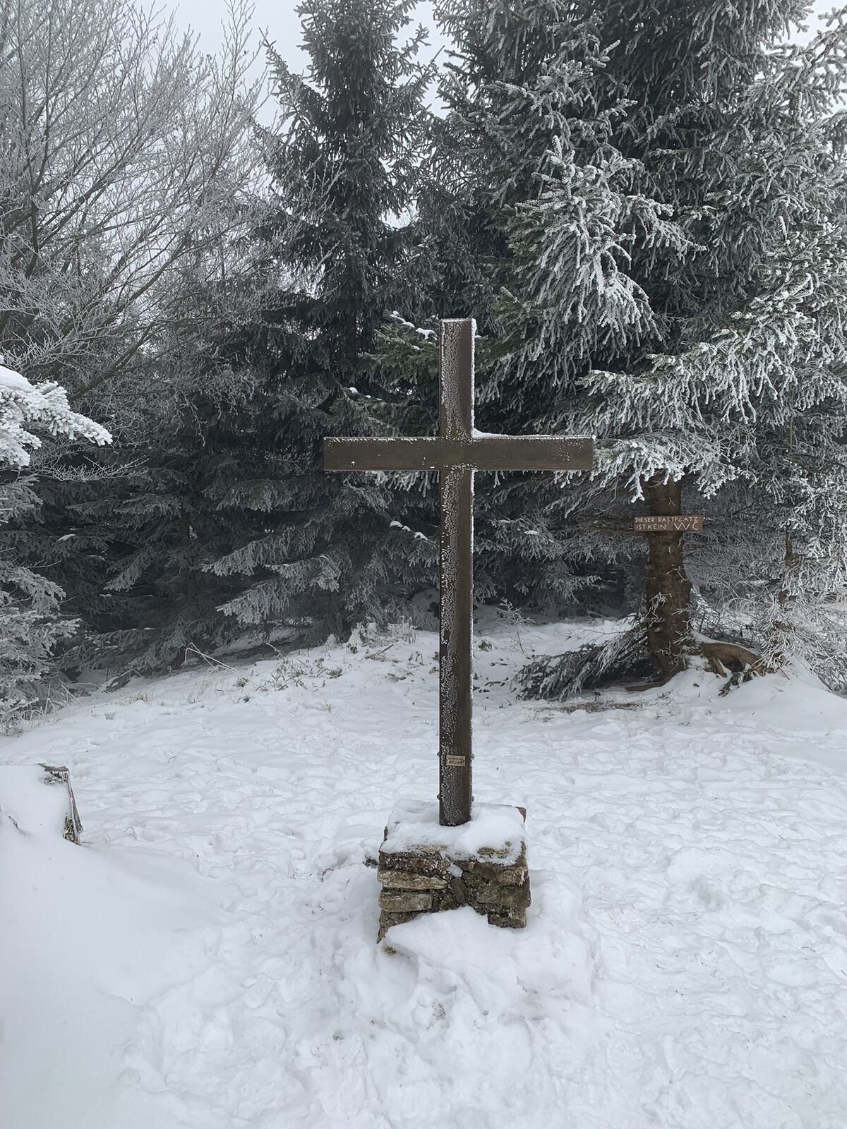
 © Sigmar WimmerCreated on 17.08.2023
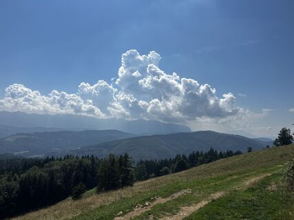 © Sigmar WimmerCreated on 17.08.2023
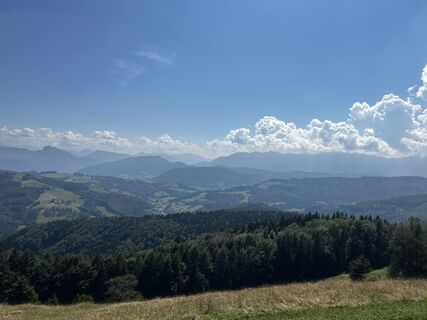 © Sigmar WimmerCreated on 17.08.2023
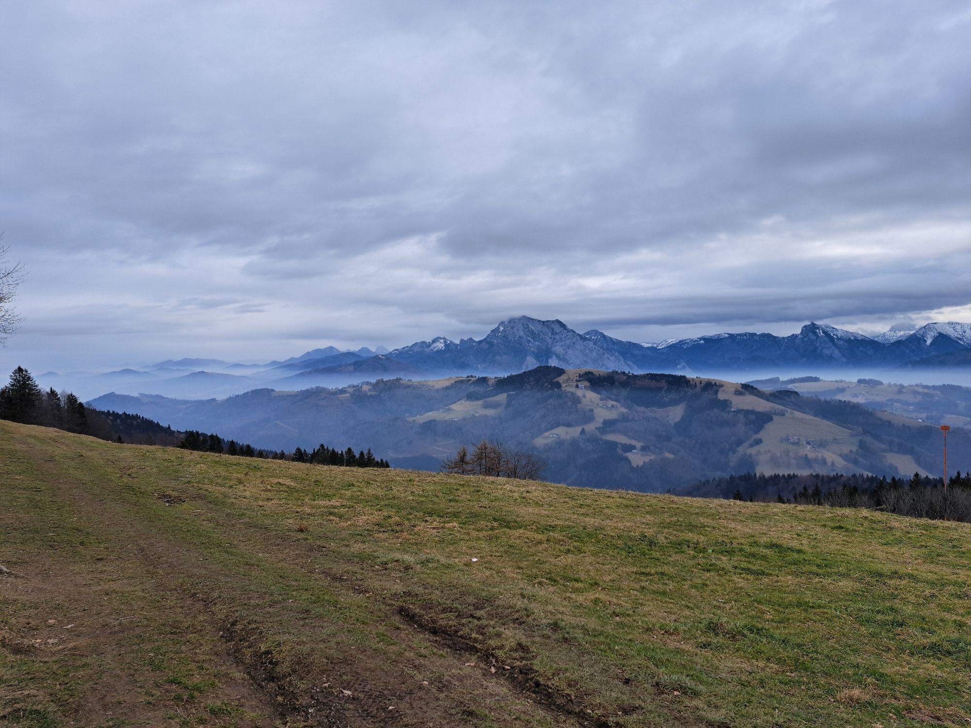
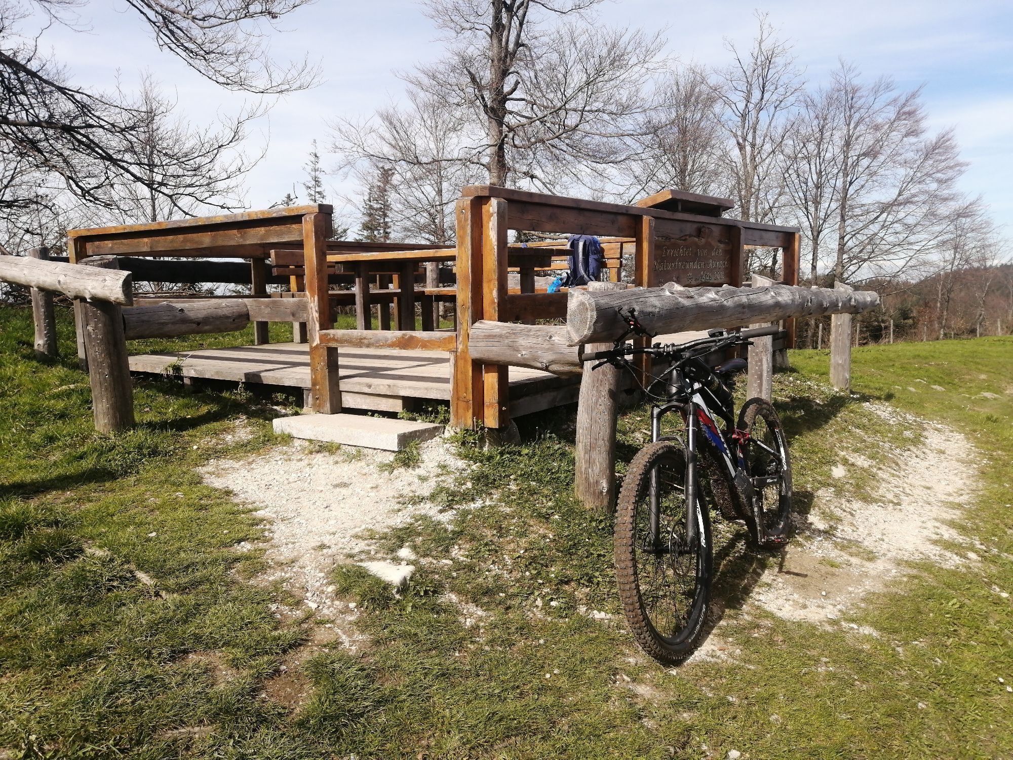
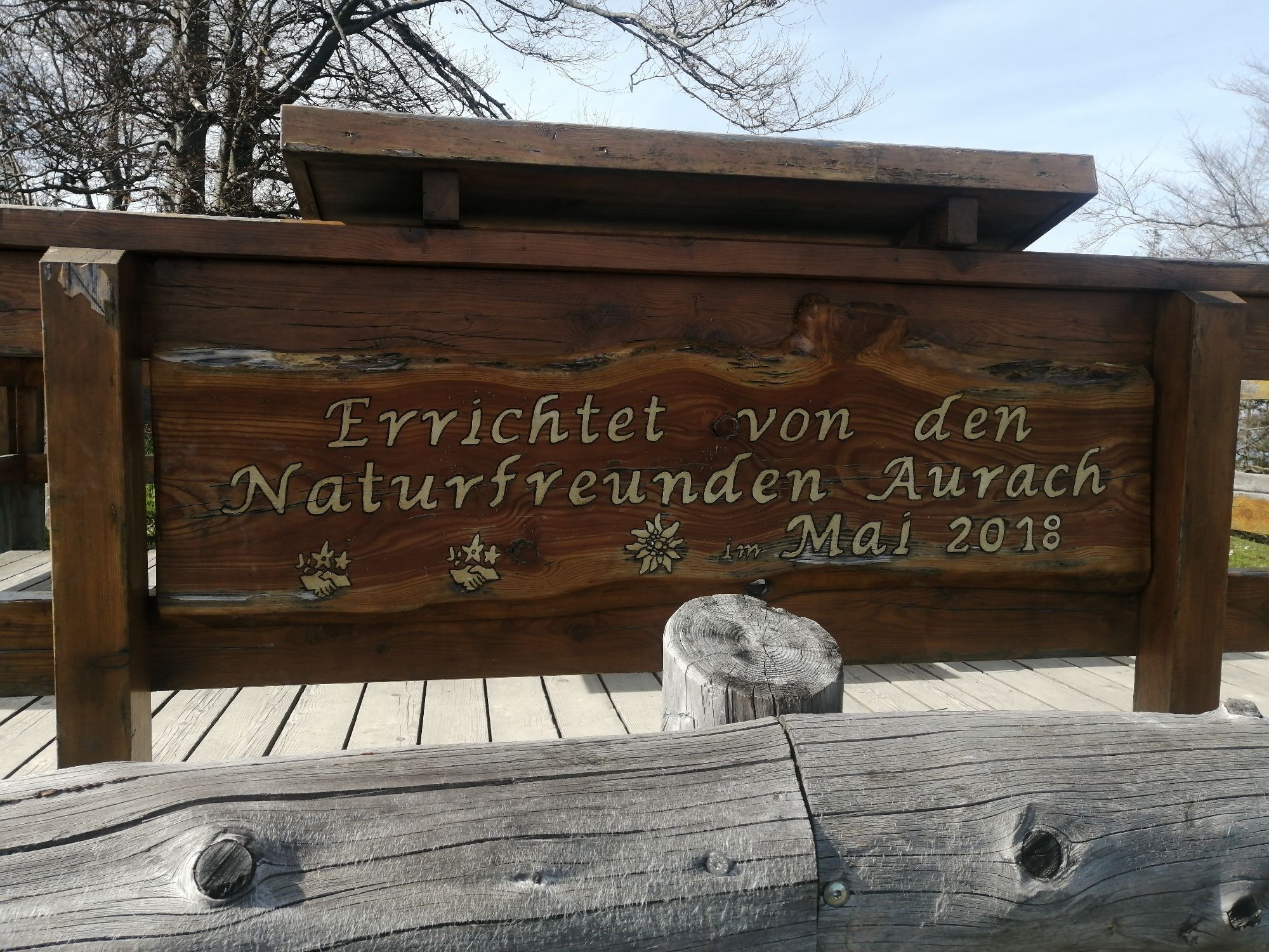
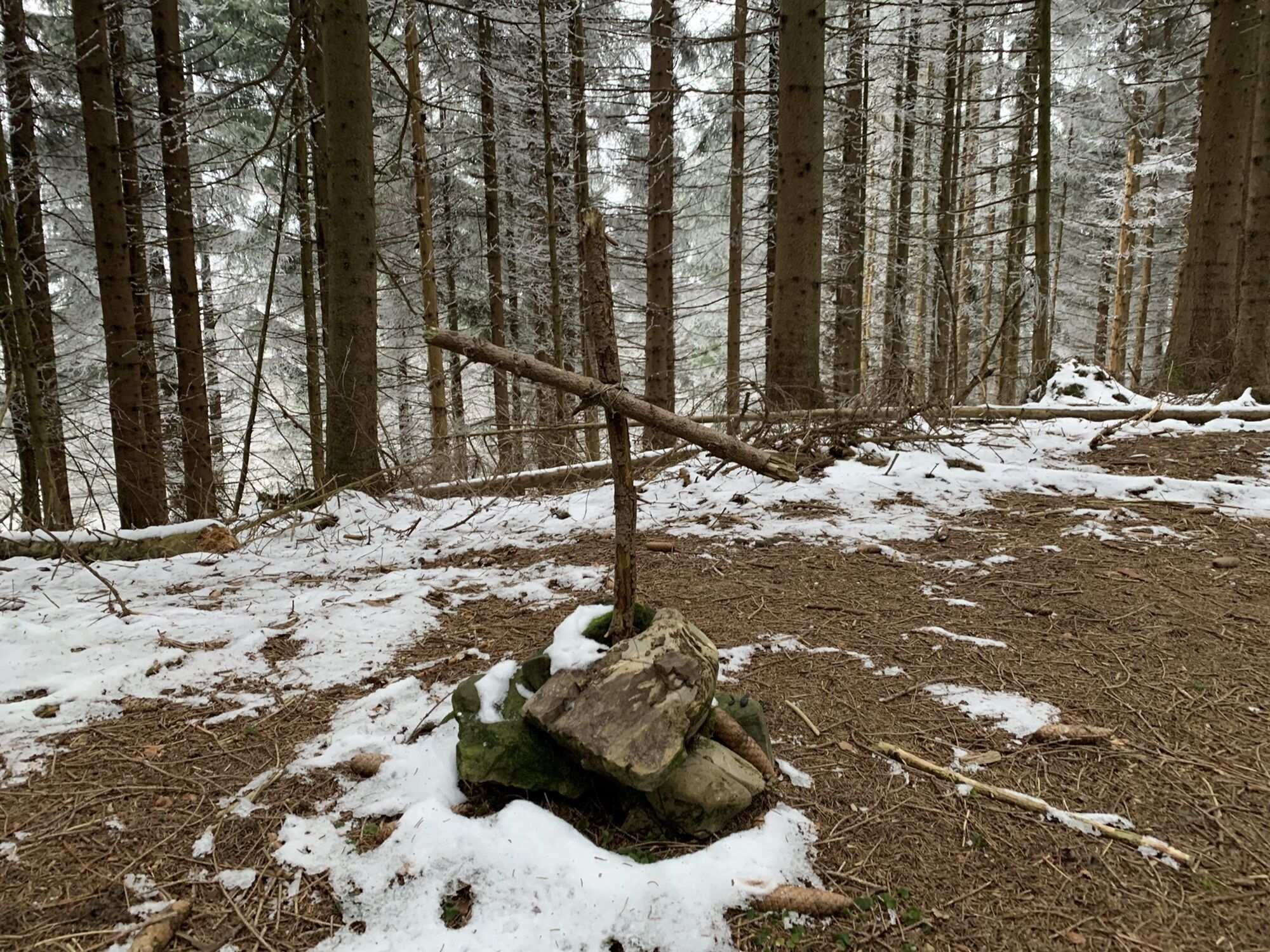
 © Christian TaubingerCreated on 22.04.2023
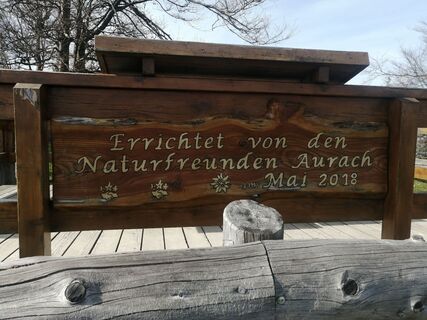 © Christian TaubingerCreated on 22.04.2023
 © Christian TaubingerCreated on 22.04.2023


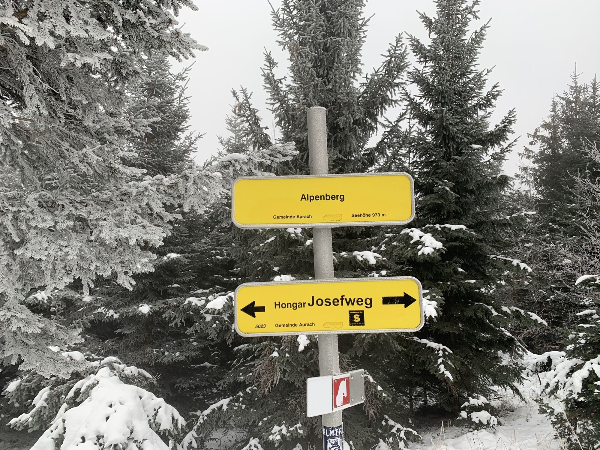
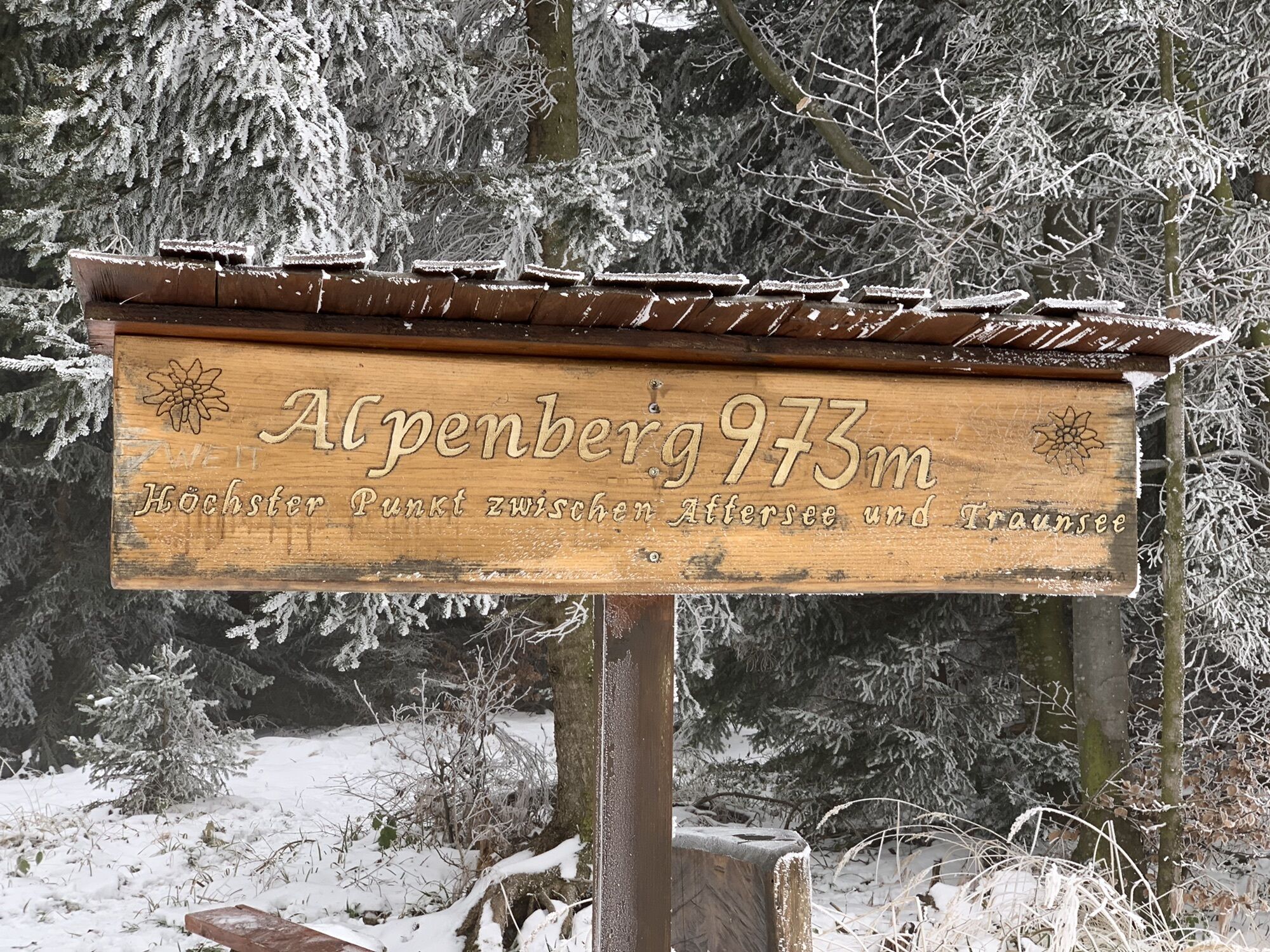
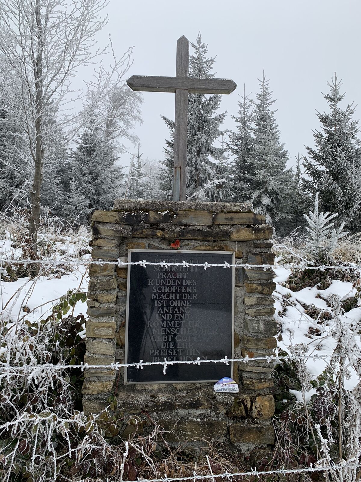
Aufstieg von Kasten zum Gasthof Schwarz am Wanderweg, weiter Richtung Kreuzingalm, bis zum höchsten Punkt den Alpenberg. Wieder zurück bis zum Gasthof vorbei am großen Kreuz und ca 15 Minuten bis zum tatsächlichen...
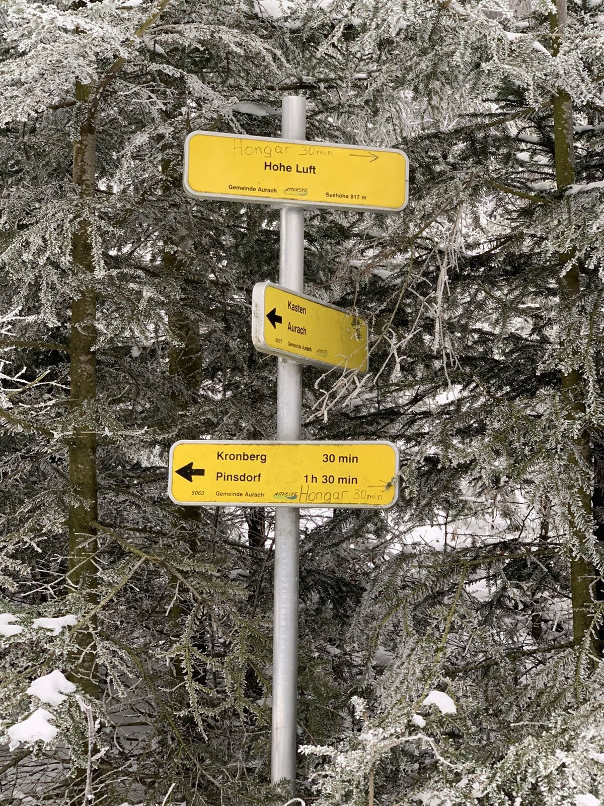
Aufstieg von Kasten zum Gasthof Schwarz am Wanderweg, weiter Richtung Kreuzingalm, bis zum höchsten Punkt den Alpenberg. Wieder zurück bis zum Gasthof vorbei am großen Kreuz und ca 15 Minuten bis zum tatsächlichen Kreuz des Hongars. Kurz danach ist die Aussichtsplattform. Von hier weiter zum Gipfel Hohe Luft, der Weg zum Gipfelpunkt selber ist nicht markiert, wir folgen dann dem Weg Richtung Kasten/Aurach, der aber dann kurz darauf links abzweigt, wir halten uns aber gerade aus um noch auf den Schimplgupf zu gelangen. Abstieg über mit weißen Punkten markierten Wanderweg.

A1, Abfahrt Regau wenn von Richtung Linz kommend
Zu dieser Jahreszeit unbedingt Stöcke und Grödel, die Wege sind sehr vereist!
Popular tours in the neighbourhood
- 4,6
Traunstein
heavyHiking11,2 km - 4,4
Rundweg Großer & Kleiner Sonnstein, Ebensee am Traunsee, Oberösterreich/Österreich
mediumHiking9,64 km - 4,7
Hochleckenhaus-Brunnkogel-Hochleckenkogel
mediumHiking12,2 km - 4,6
Baalstein und Geisswand
mediumHiking4,30 km - 5,0
/\ Traunstein über Naturfreundesteig und Mair Alm
heavyHiking14,1 km - 3,8
+++ Hongar, Aurach am Hongar, Österreich
lightHiking3,07 km - 3,9
+++ Farnaugupf, Geißwand Runde
mediumHiking10,6 km - 3,5
Steineck Trapez jacksonstein laudachsee
heavyHiking16,6 km - 4,4
Hochsteinalm und Lärlkogel, Oberösterreich/Österreich
lightHiking8,06 km - 4,7
Helmeskogel / Alberfeldkogel
lightHiking8,16 km
Hiking & Tracking


Don't miss out on offers and inspiration for your next holiday
Your e-mail address has been added to the mailing list.