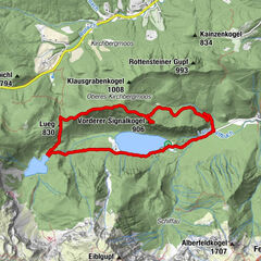

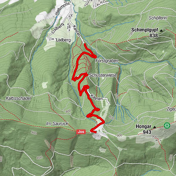
Tour data
3.07km
576
- 878m
270hm
270hm
00:52h
- Difficulty
-
easy
- Rating
-
- Route
-
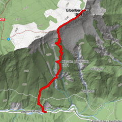
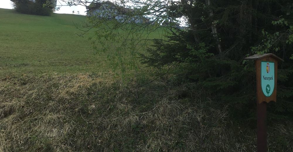
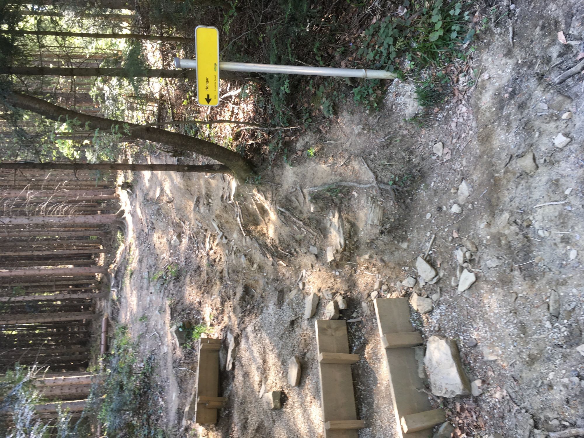
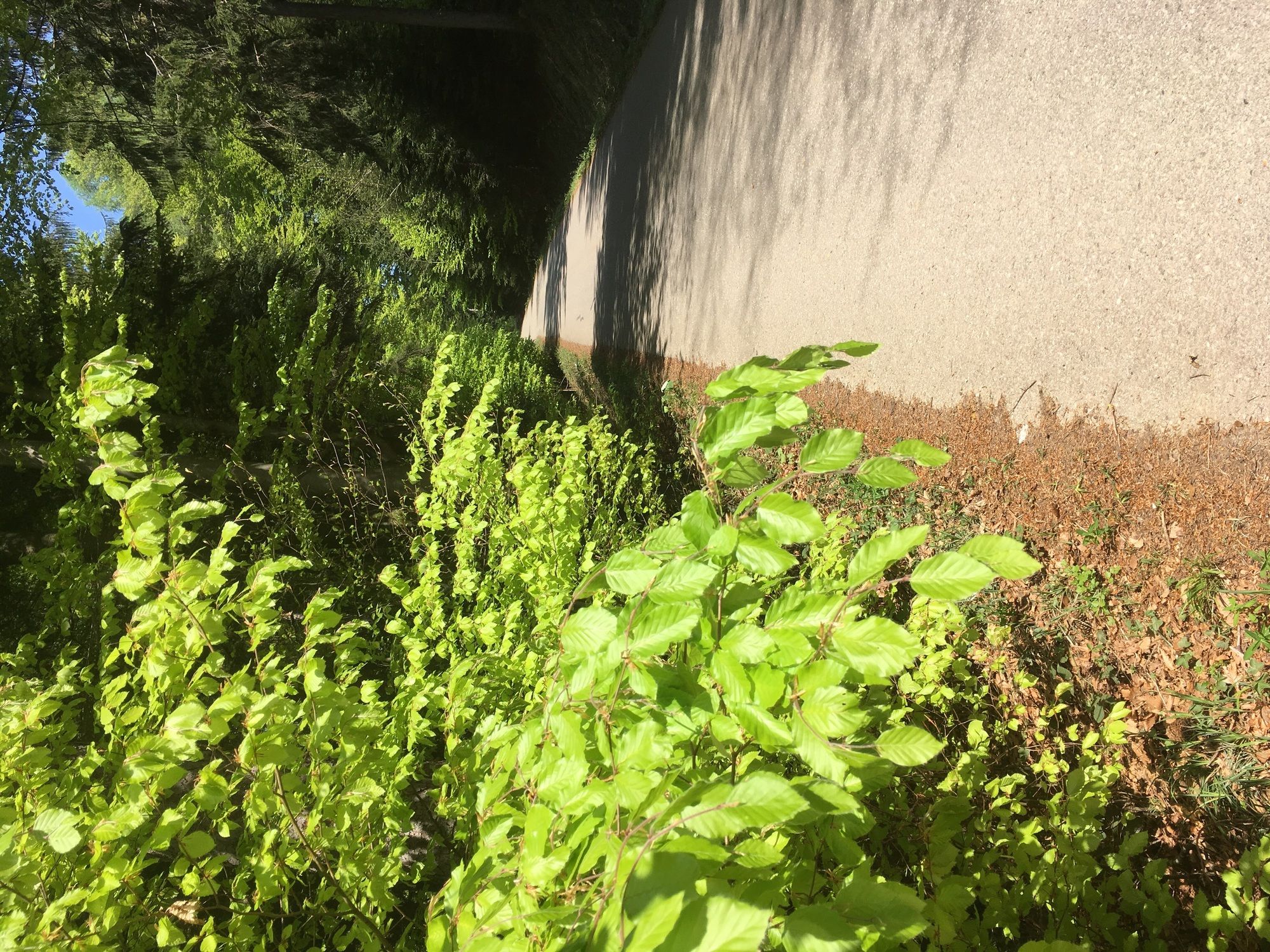
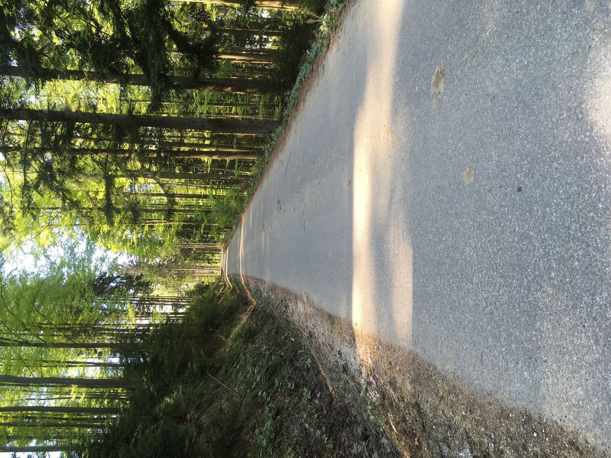
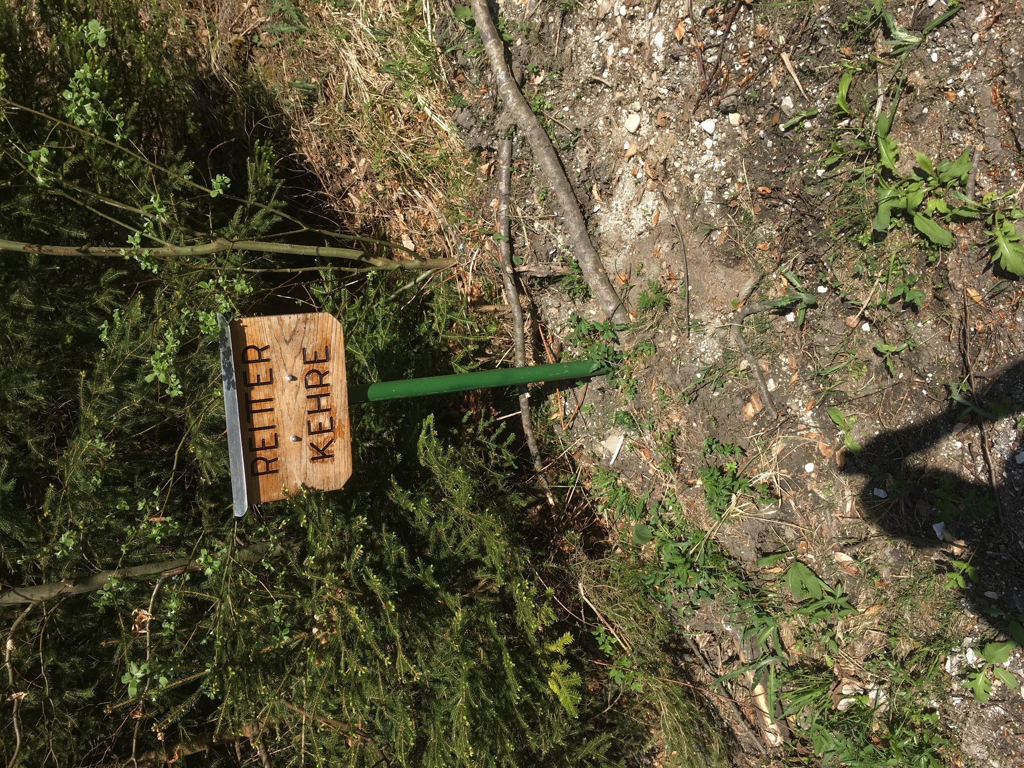
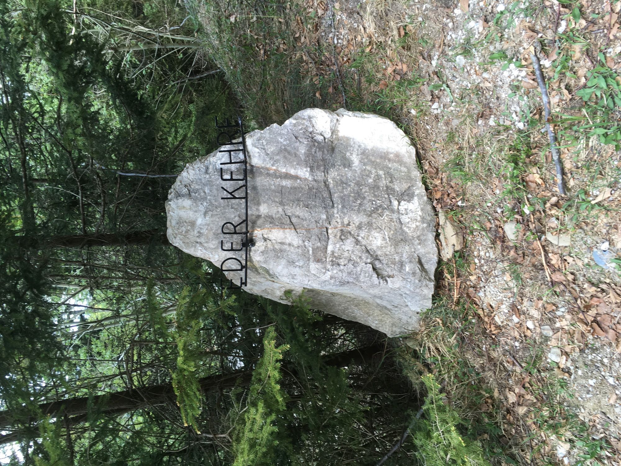
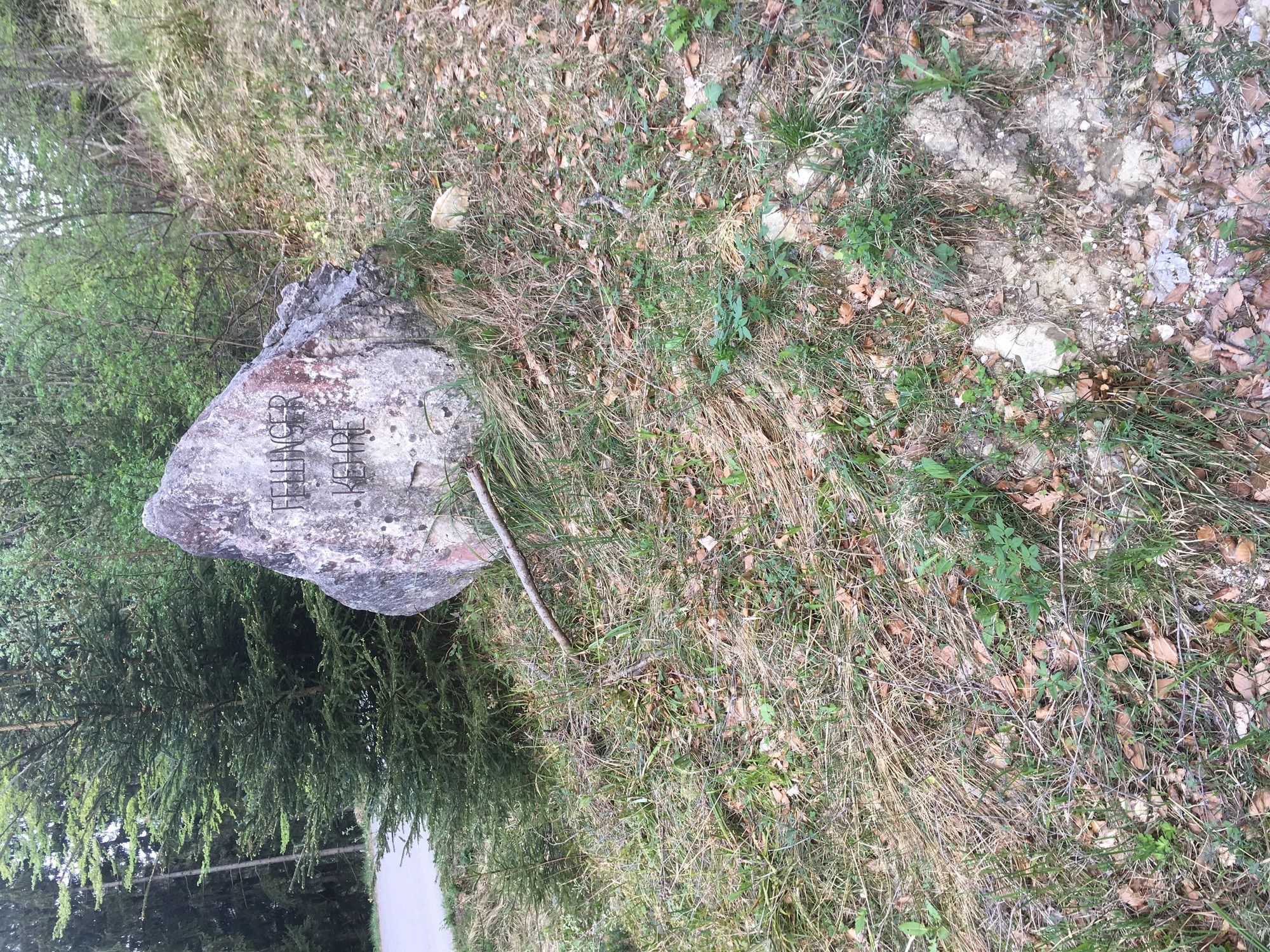
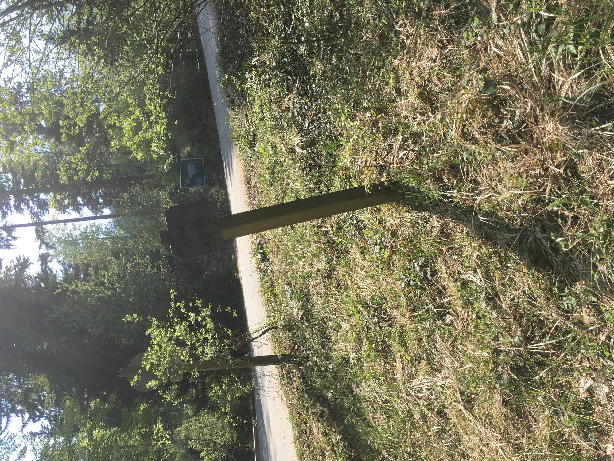
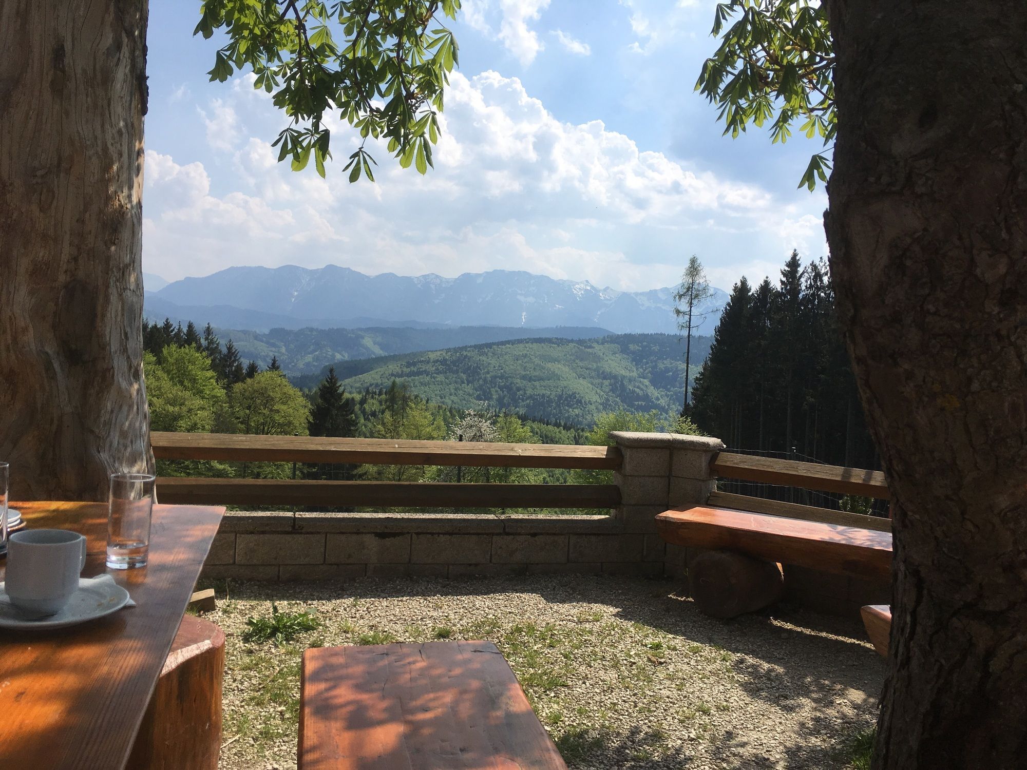
Schwarz am Hongar3.0 km
- Highest point
- 878 m

GPS Downloads


Other tours in the regions
-
Hausruckviertel
1483
-
Hausruckwald
758
-
Aurach am Hongar
242