Nackter Kalbling & Pfannstein & Rauher Kalbling
medium
Navigate
Navigate
Get this tour on your mobile
Nackter Kalbling & Pfannstein & Rauher Kalbling
medium
Hiking
12,04
km
Scan the QR code and start navigation in the bergfex app

Hiking & Tracking


Distance
12,04
km
Duration
03:33
h
Ascent
758
m
Sea level
729 -
1.439
m
Track download
Nackter Kalbling & Pfannstein & Rauher Kalbling
medium
Hiking
12,04
km


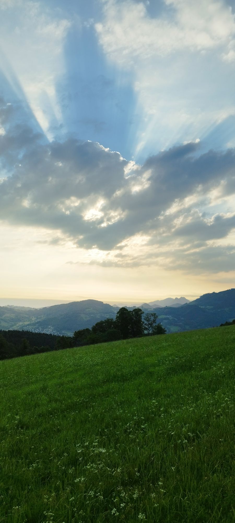
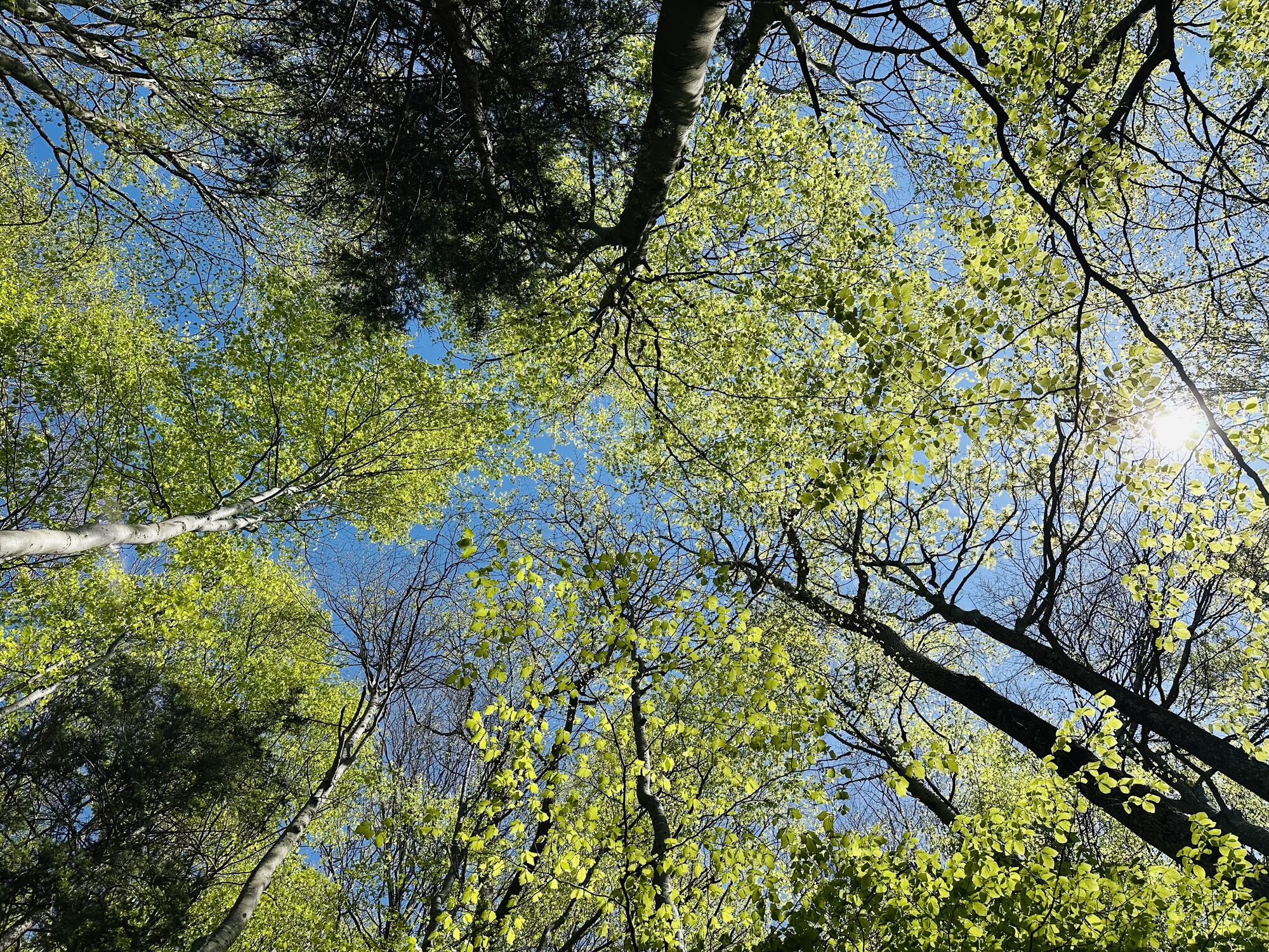
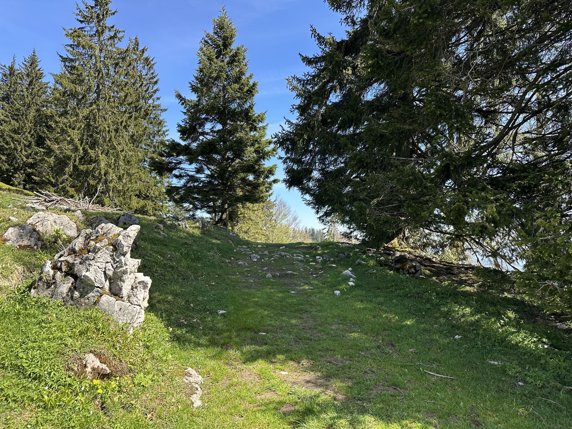
Photos from our users

 © Jakob KCreated on 28.06.2025
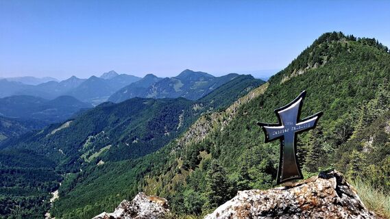
 © JordyCreated on 14.06.2025
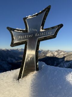
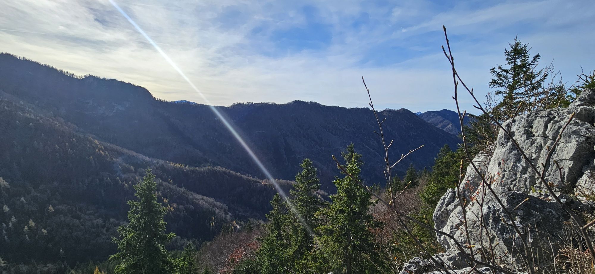
 © Berg NoarCreated on 23.11.2025
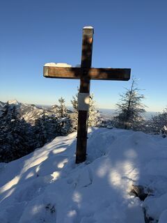 © Berg NoarCreated on 23.11.2025
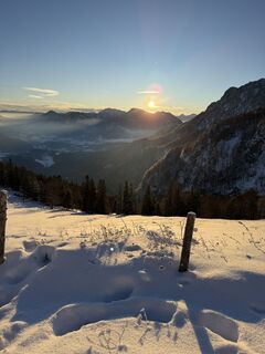 © Berg NoarCreated on 23.11.2025
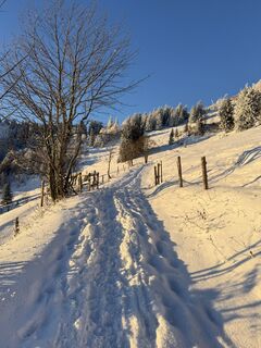 © Berg NoarCreated on 23.11.2025
 © Berg NoarCreated on 23.11.2025
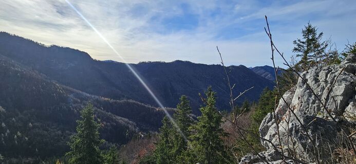
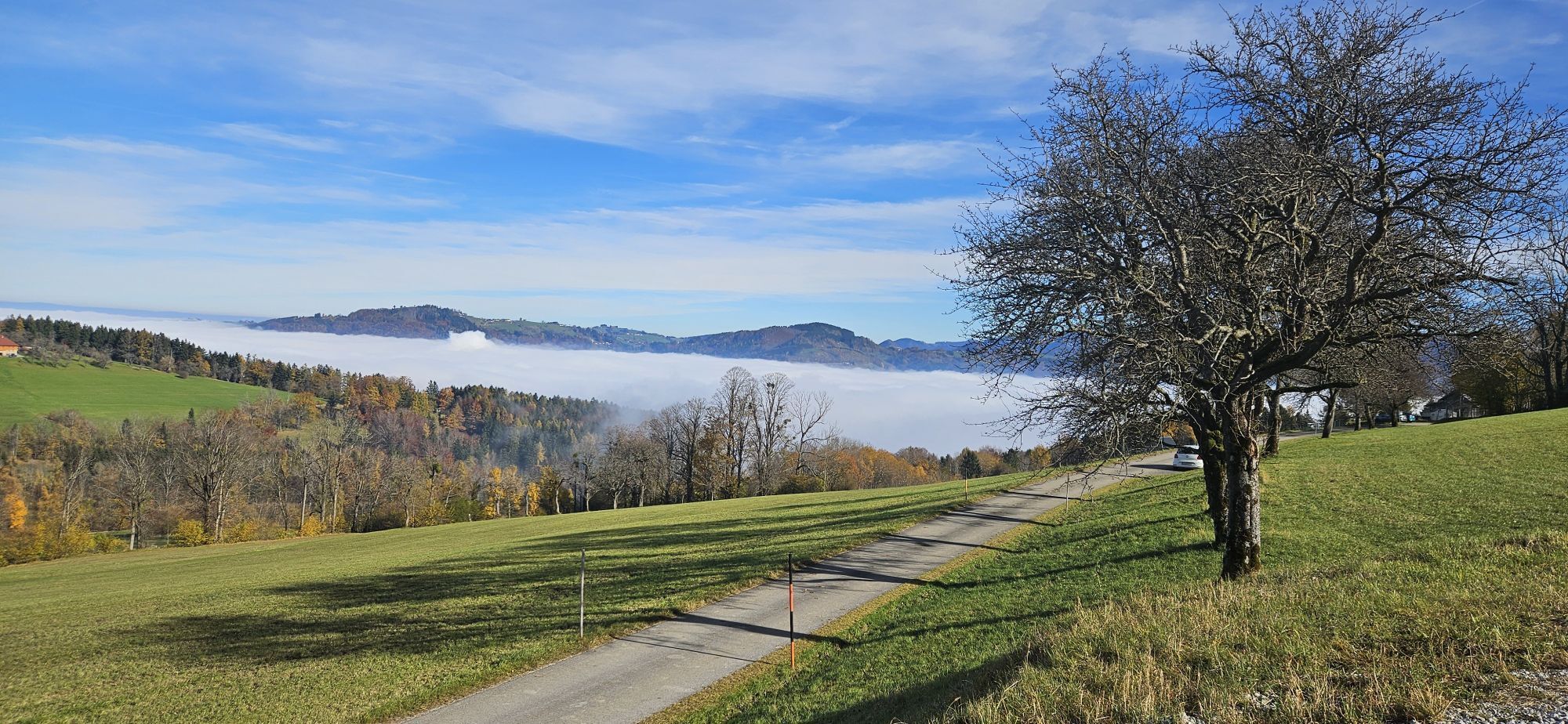
 © Sylvia HannCreated on 01.11.2025
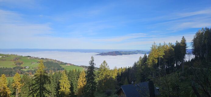 © Sylvia HannCreated on 01.11.2025
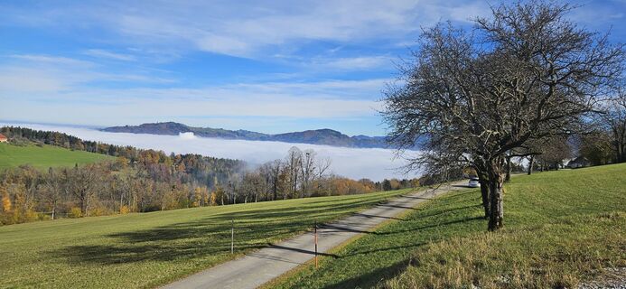 © Sylvia HannCreated on 01.11.2025
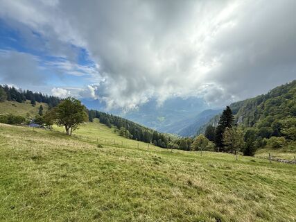
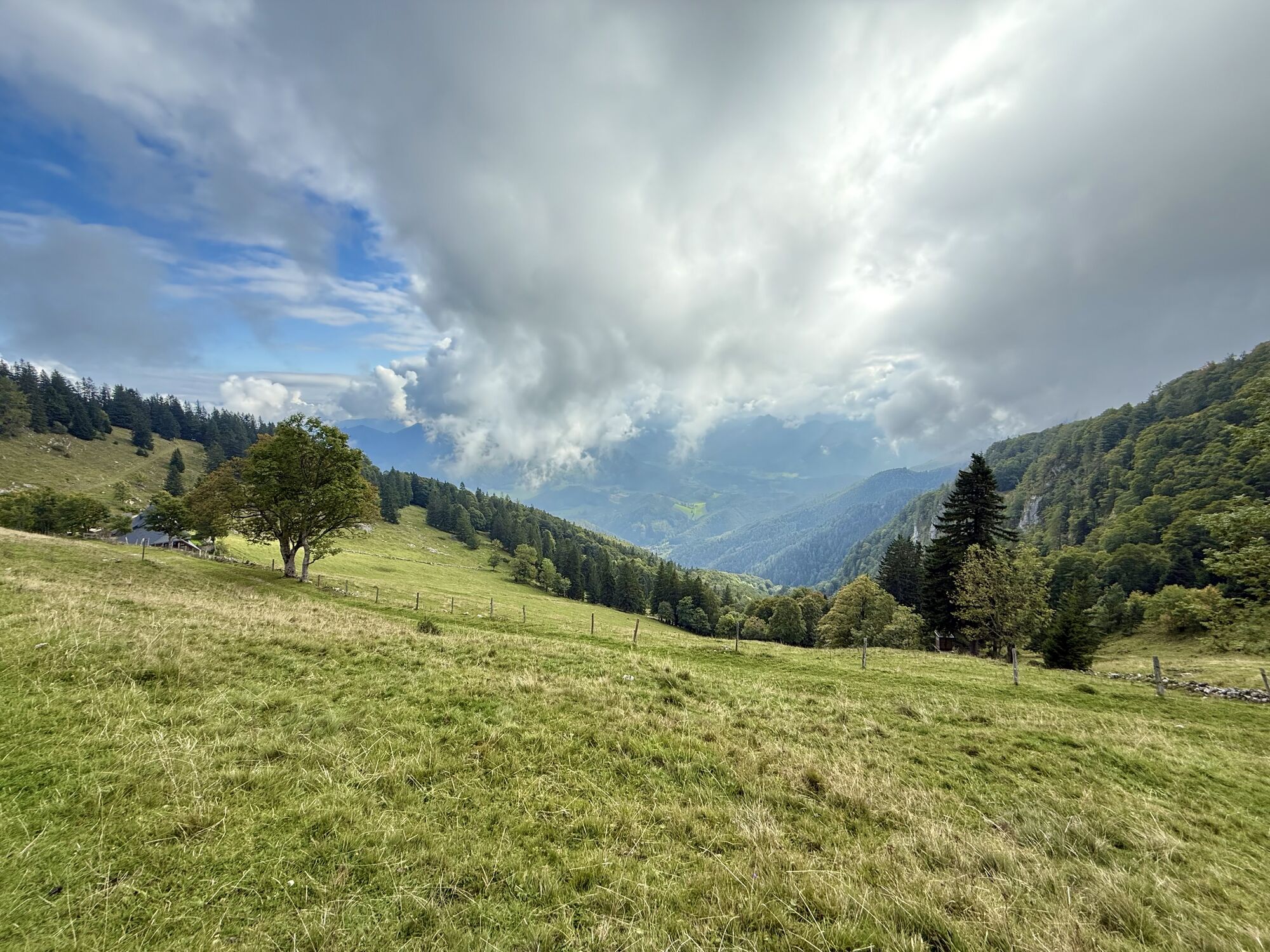
 © Dani Geiger / Natur_erleben_dgCreated on 01.10.2025
 © Dani Geiger / Natur_erleben_dgCreated on 01.10.2025
 © Dani Geiger / Natur_erleben_dgCreated on 01.10.2025
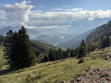 © Dani Geiger / Natur_erleben_dgCreated on 01.10.2025
 © Dani Geiger / Natur_erleben_dgCreated on 01.10.2025
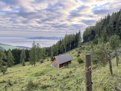 © Dani Geiger / Natur_erleben_dgCreated on 01.10.2025
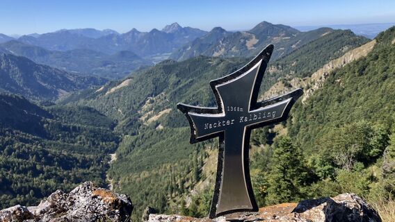
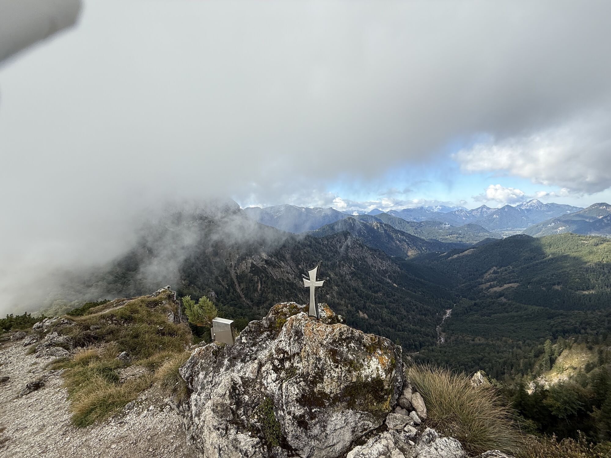
 © Christian KakuskaCreated on 20.09.2025
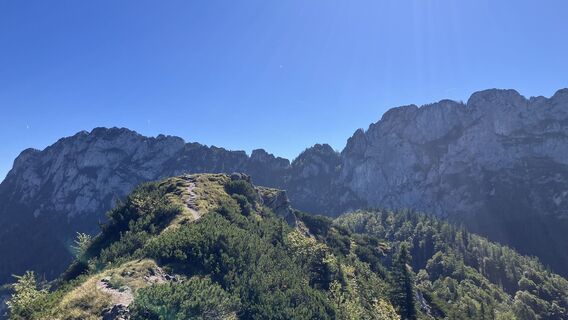 © Christian KakuskaCreated on 20.09.2025
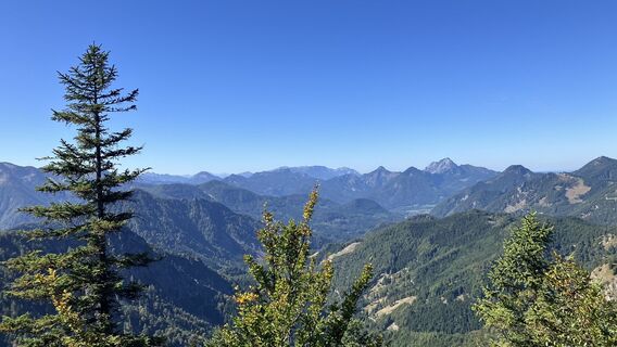 © Christian KakuskaCreated on 20.09.2025
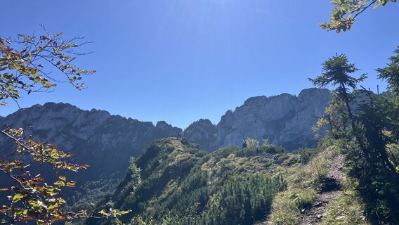 © Christian KakuskaCreated on 20.09.2025
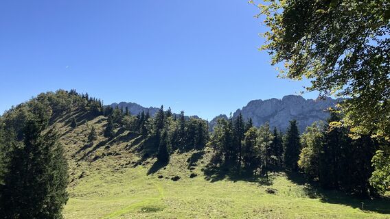 © Christian KakuskaCreated on 20.09.2025
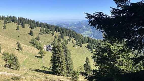 © Christian KakuskaCreated on 20.09.2025
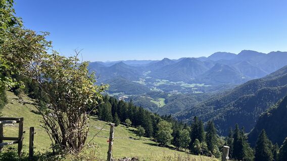 © Christian KakuskaCreated on 20.09.2025
 © Christian KakuskaCreated on 20.09.2025
 © Christian KakuskaCreated on 20.09.2025
 © Christian KakuskaCreated on 20.09.2025
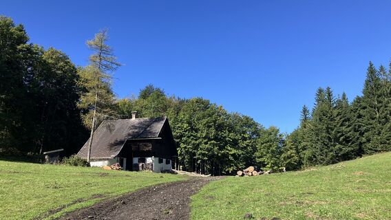 © Christian KakuskaCreated on 20.09.2025
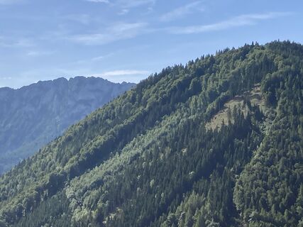
 © Reinhard DietachmayrCreated on 28.08.2025
 © TraglCreated on 20.06.2025
 © TraglCreated on 20.06.2025
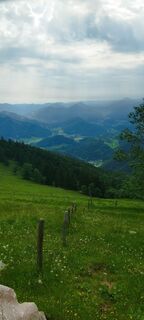 © TraglCreated on 20.06.2025
 © TraglCreated on 20.06.2025
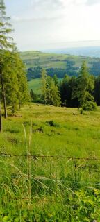 © TraglCreated on 20.06.2025
 © TraglCreated on 20.06.2025
 © TraglCreated on 20.06.2025
 © Dani Geiger / Natur_erleben_dgCreated on 10.05.2025
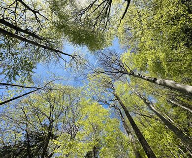 © Dani Geiger / Natur_erleben_dgCreated on 10.05.2025
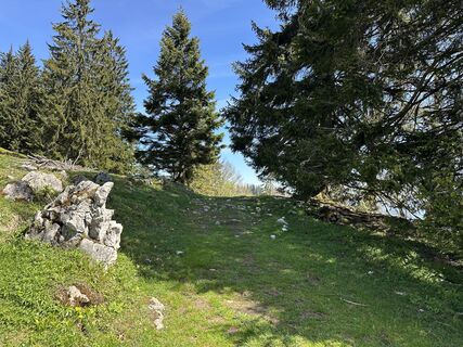 © Dani Geiger / Natur_erleben_dgCreated on 10.05.2025
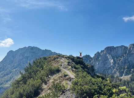 © Dani Geiger / Natur_erleben_dgCreated on 10.05.2025
 © Dani Geiger / Natur_erleben_dgCreated on 10.05.2025
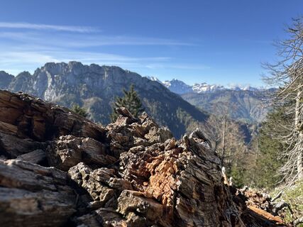 © Dani Geiger / Natur_erleben_dgCreated on 10.05.2025
 © Dani Geiger / Natur_erleben_dgCreated on 10.05.2025
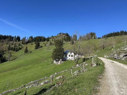 © Dani Geiger / Natur_erleben_dgCreated on 10.05.2025
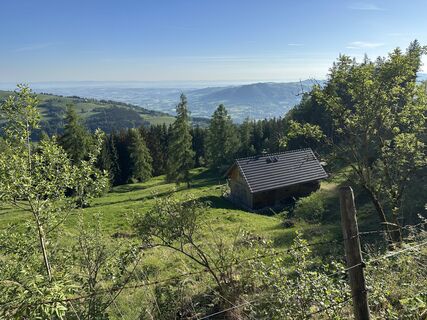 © Dani Geiger / Natur_erleben_dgCreated on 10.05.2025
 © Róbert BaloghCreated on 20.02.2025
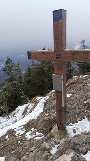 © Róbert BaloghCreated on 20.02.2025
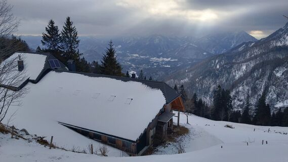 © Róbert BaloghCreated on 20.02.2025
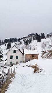 © Róbert BaloghCreated on 20.02.2025


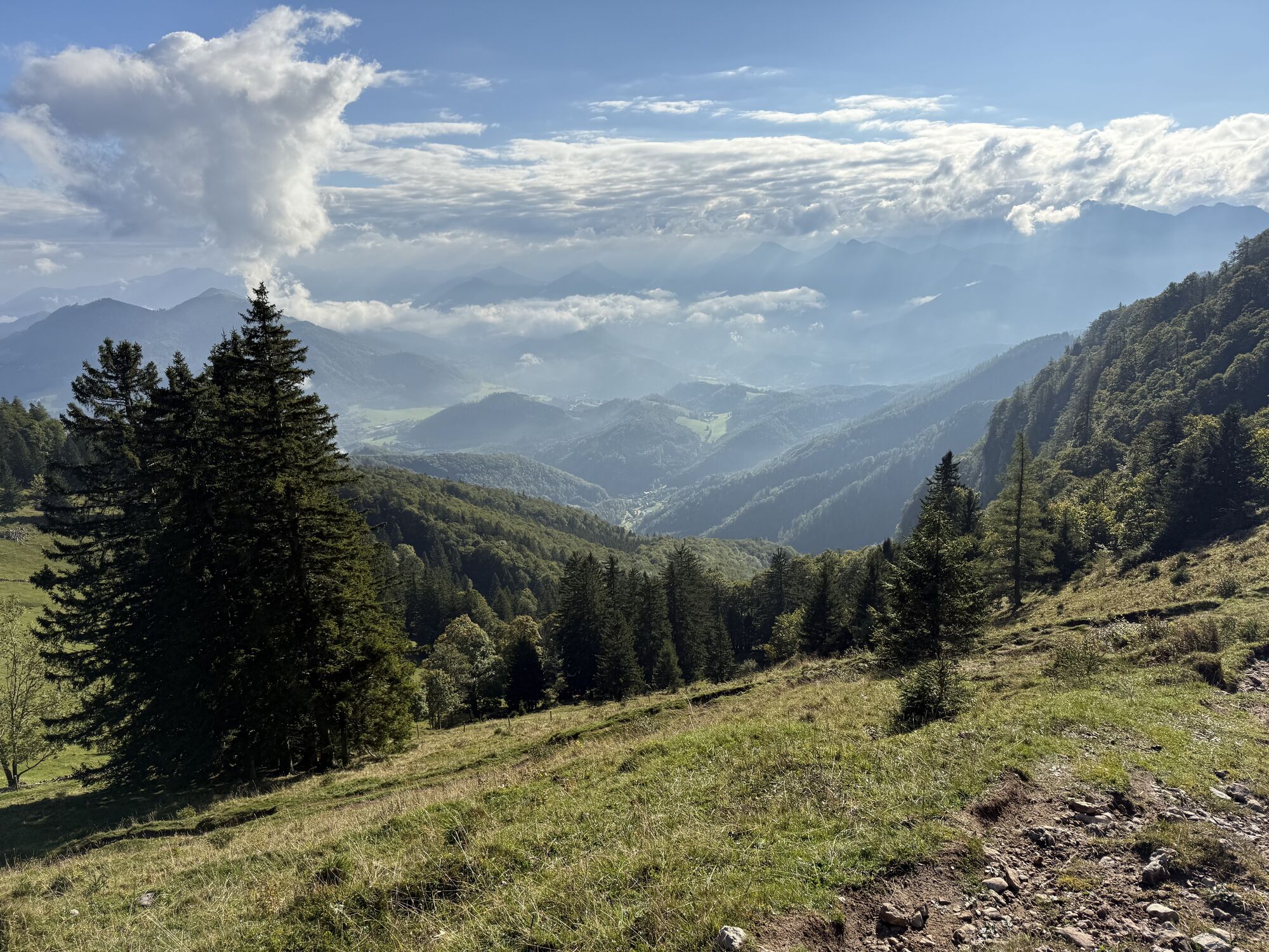
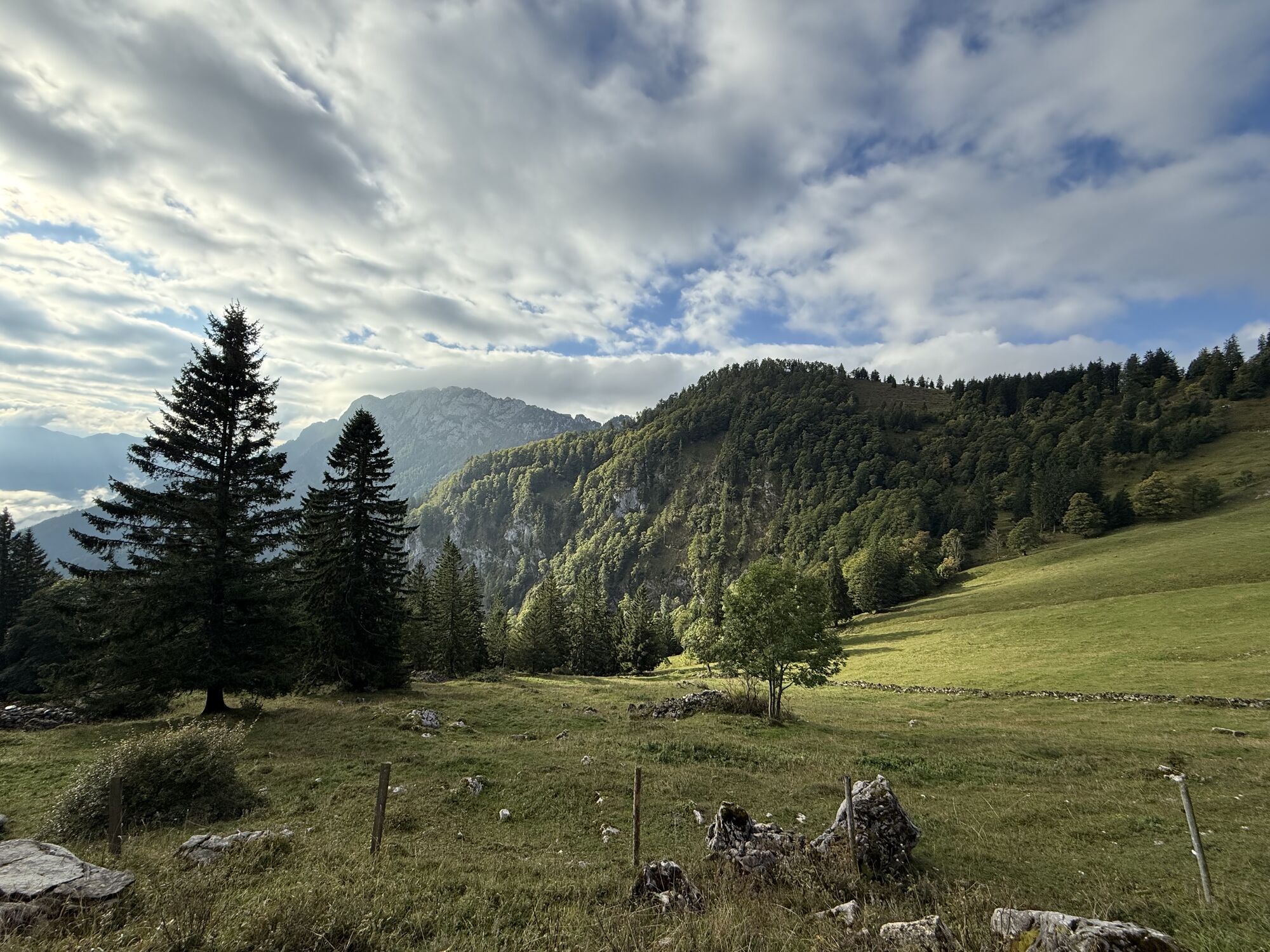

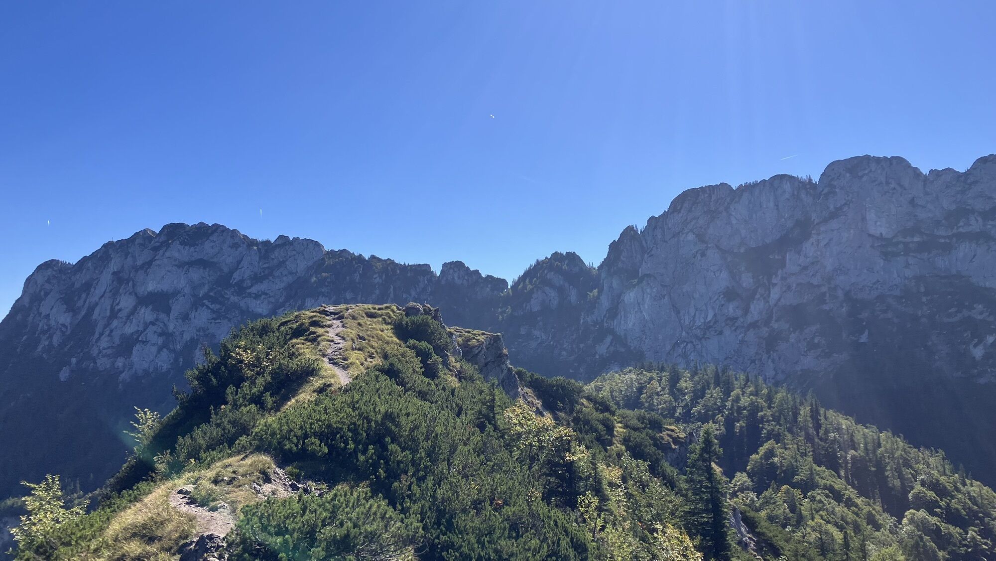

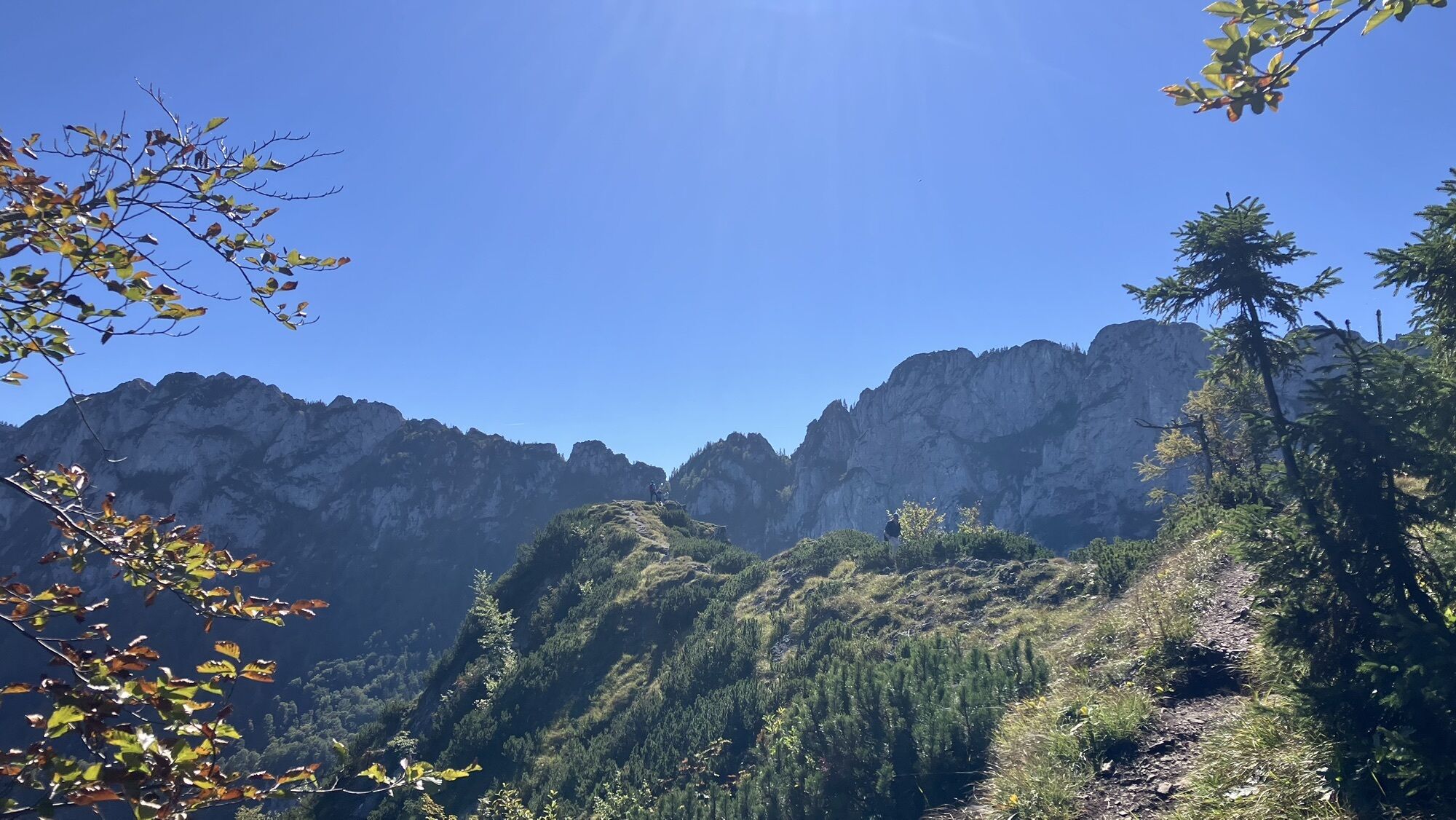

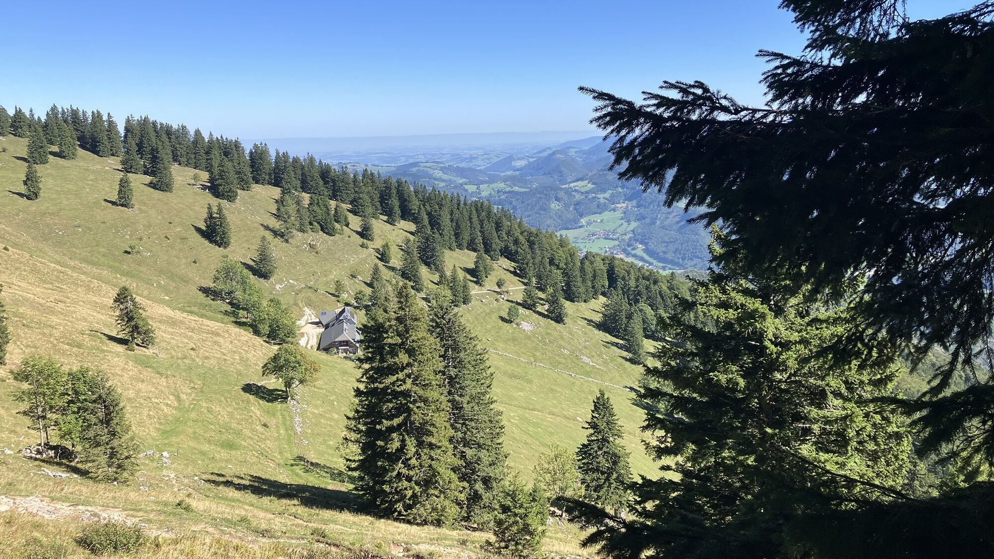


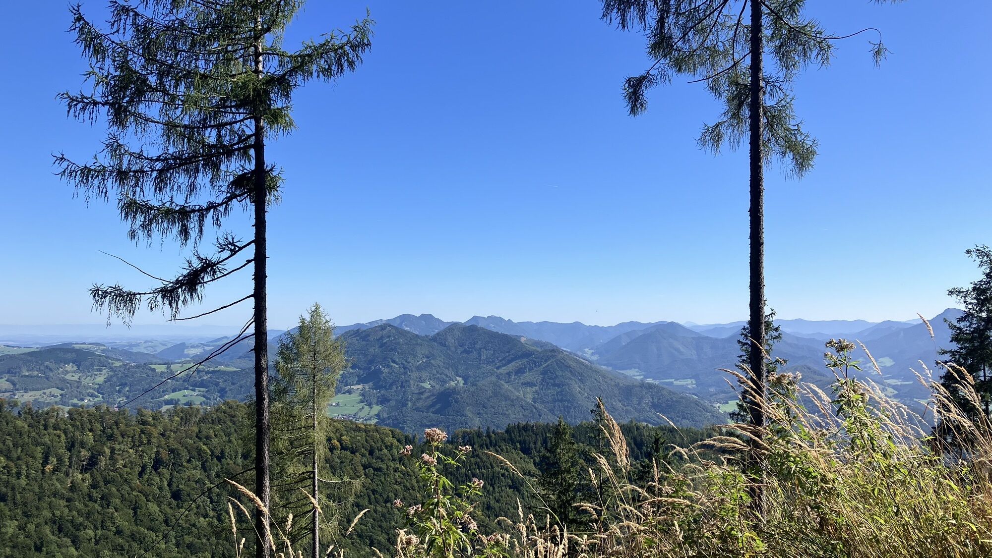

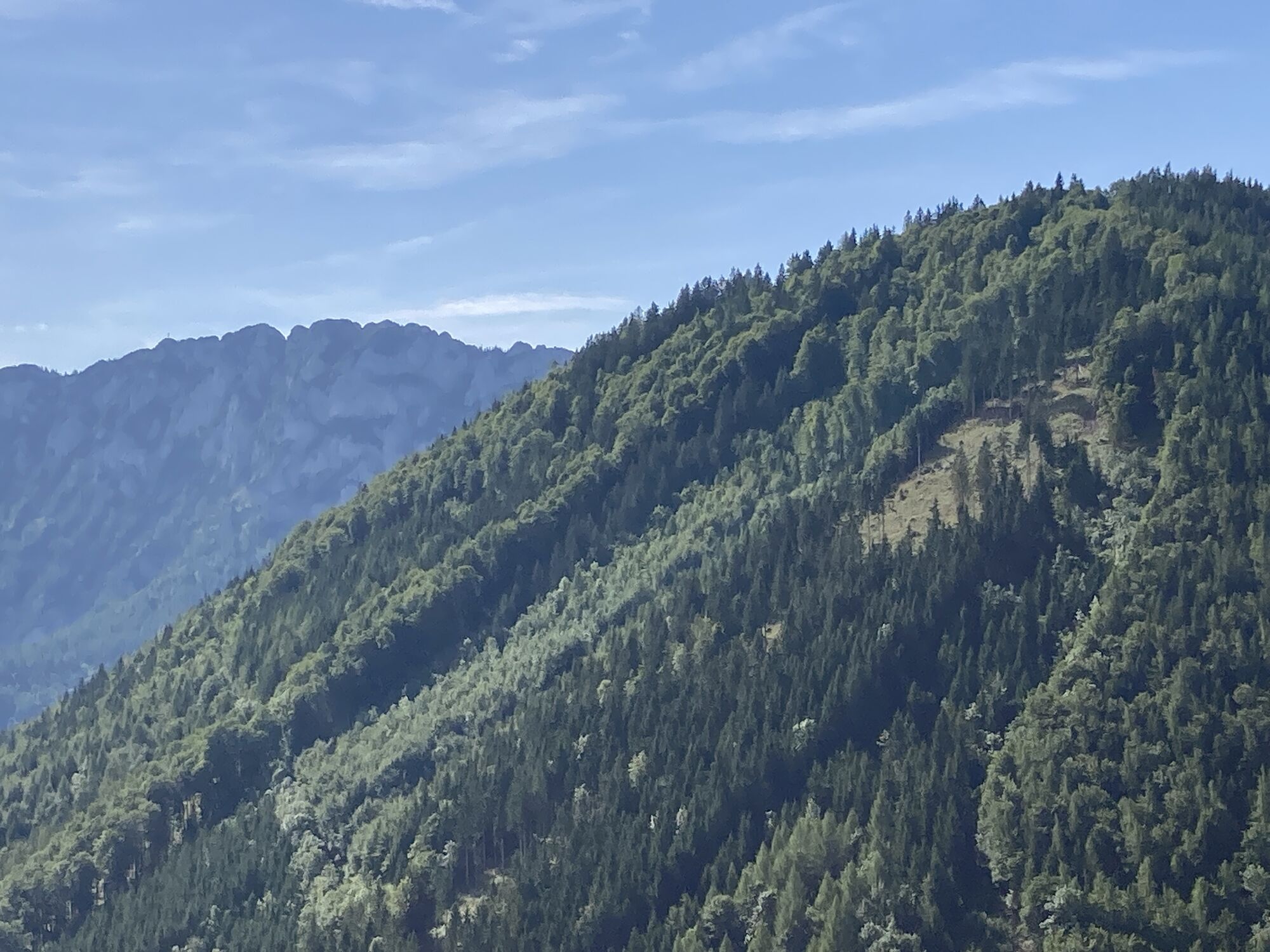


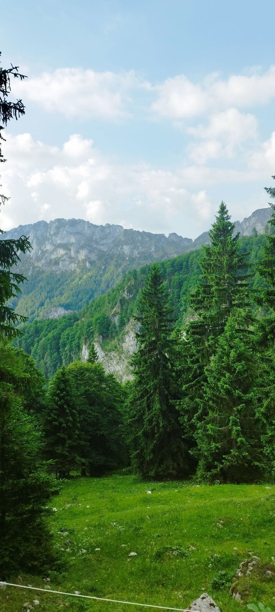
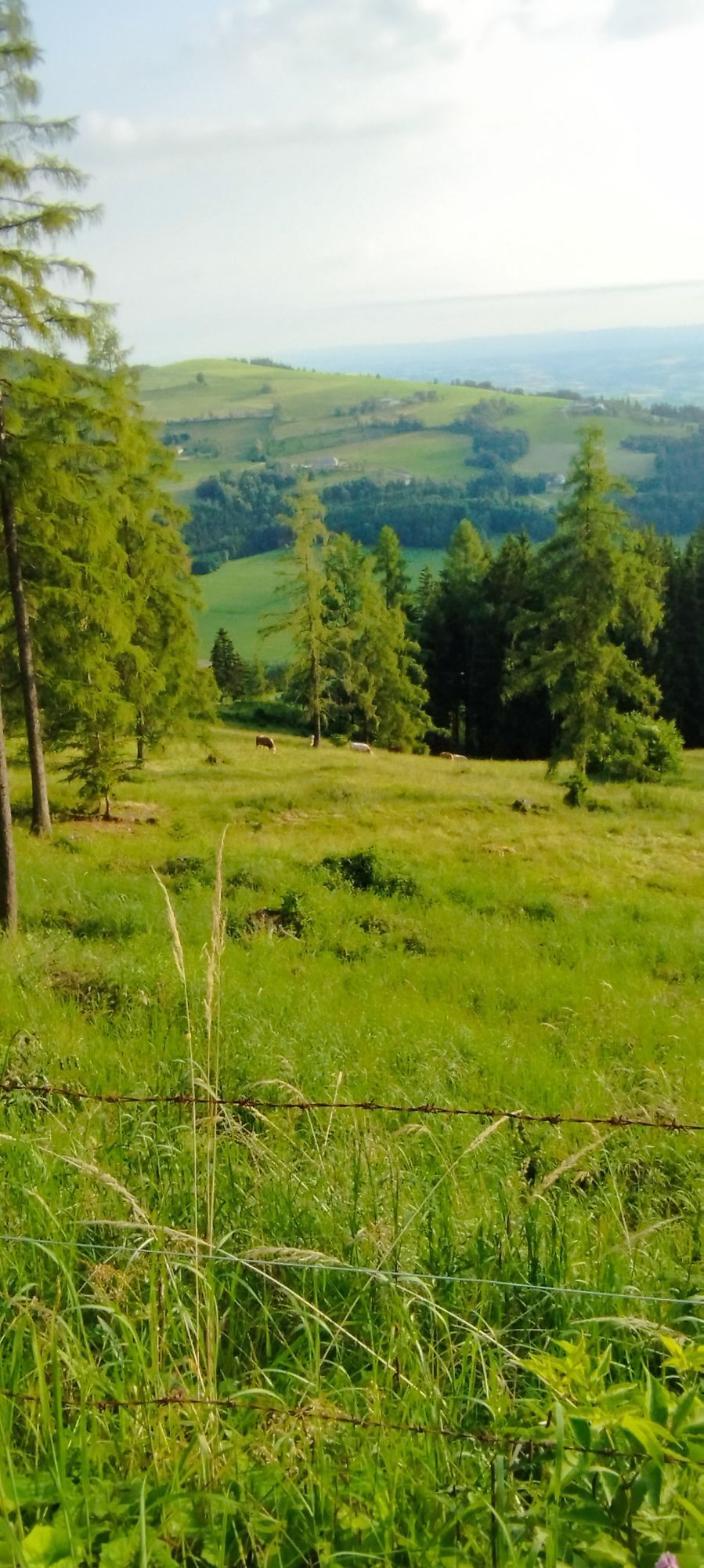
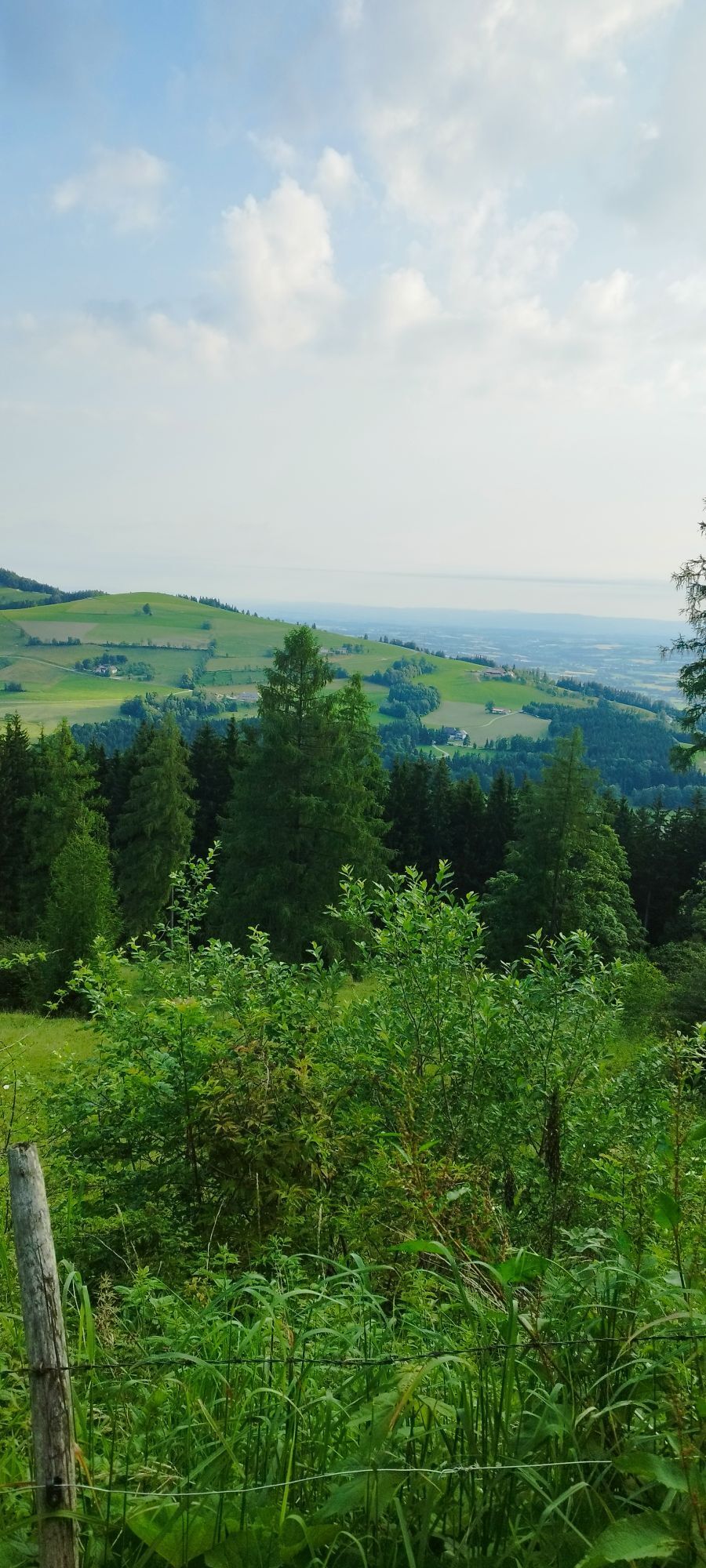

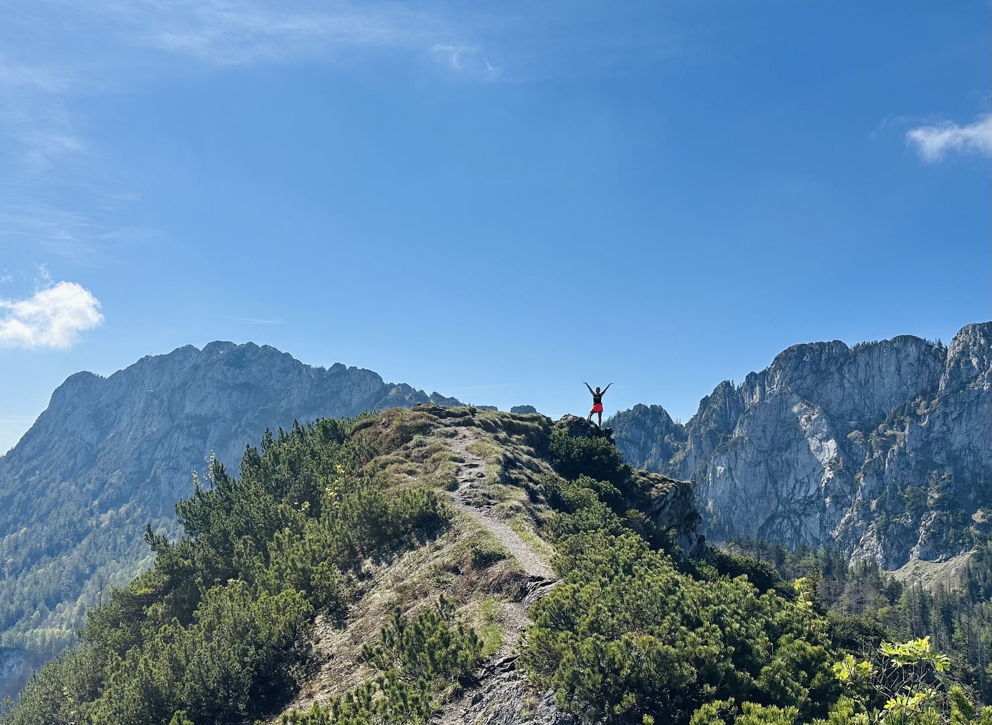

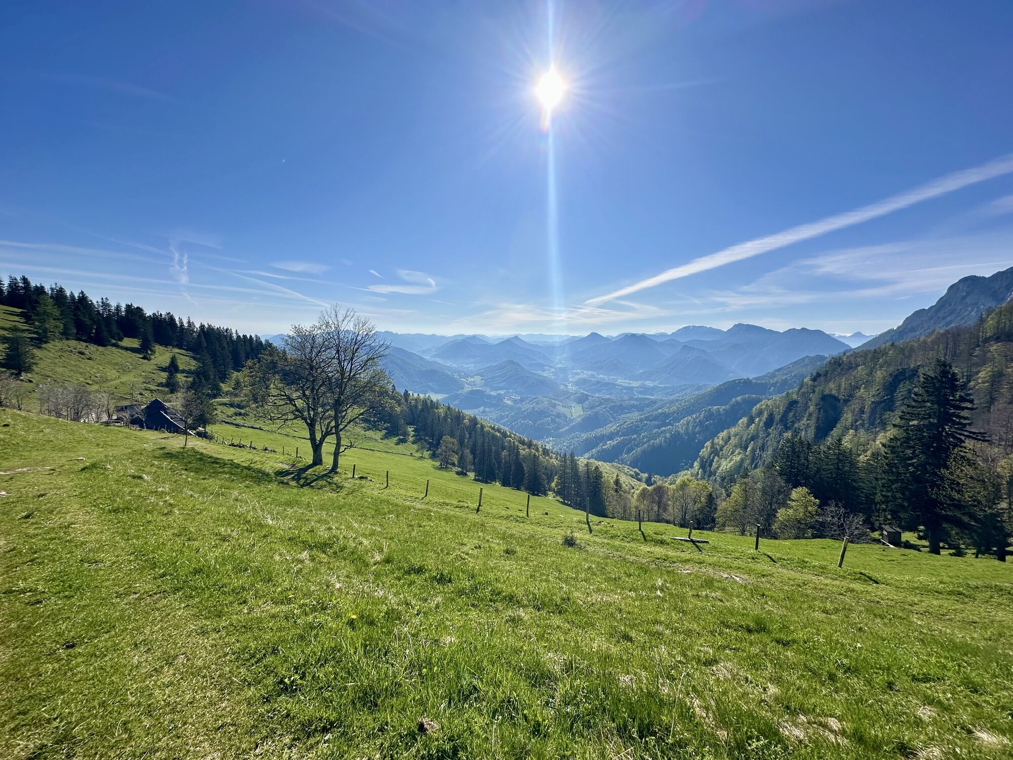
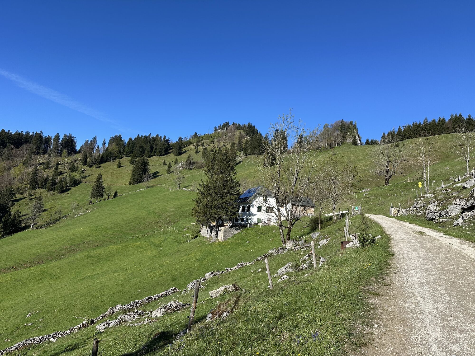

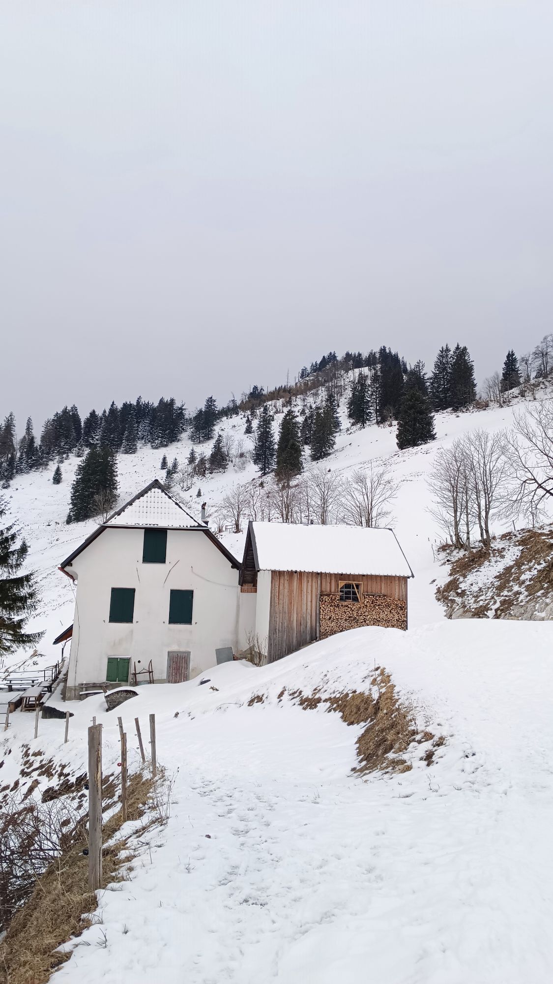
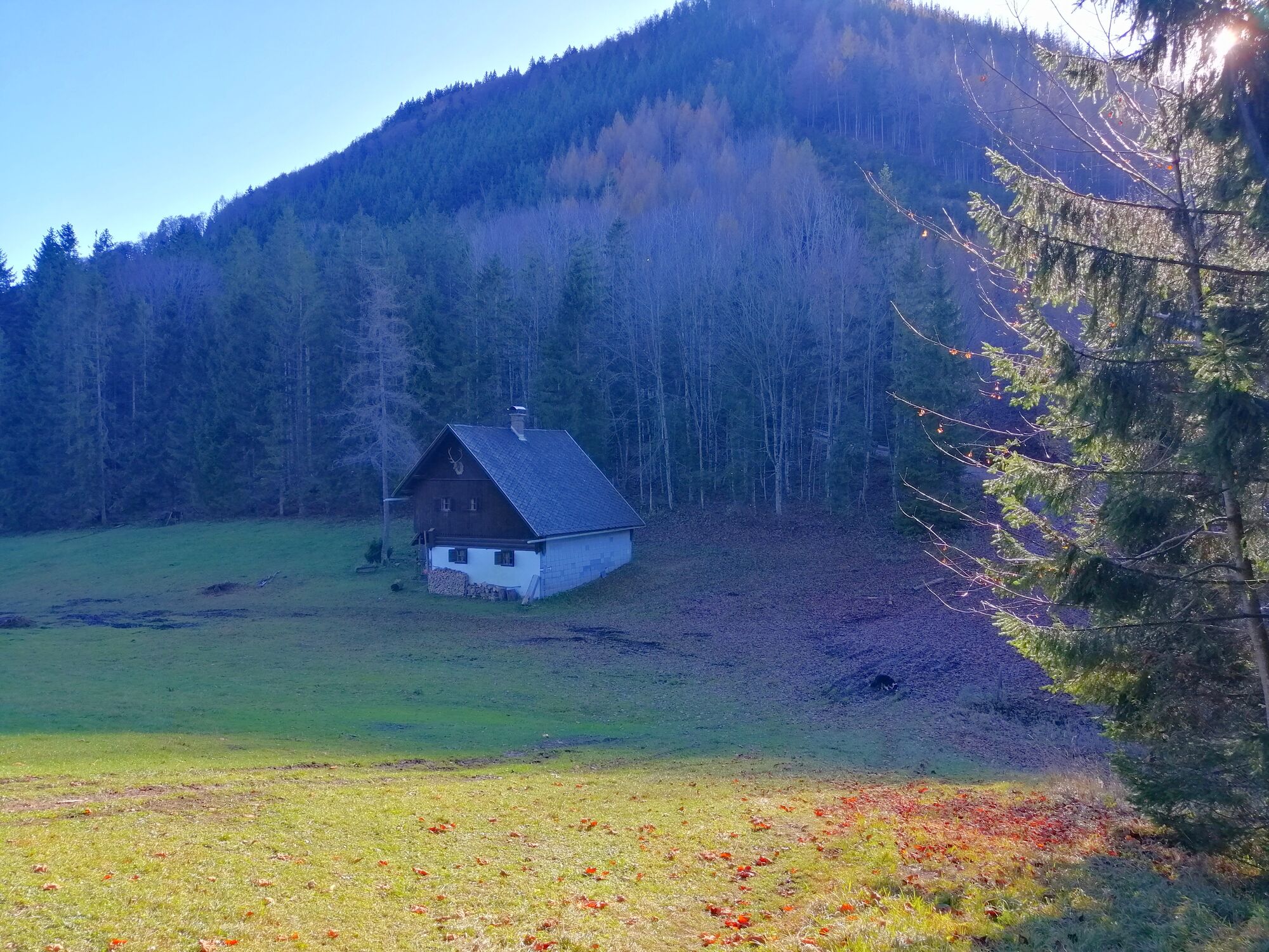
Vom Parkplatz am Ziehberg wanderten wir zuerst auf den Schabenreitnerstein, dann zur Grabnalm über den Rauhen Kalbling und zum Nackten Kalbling, beim Rückweg ging es auf den Pfannstein und wieder zurück zum Auto.
Route
Schabenreitnerstein
(1.143 m)
Summit
2,5 km
Rauer Kalbling
(1.381 m)
Summit
5,4 km
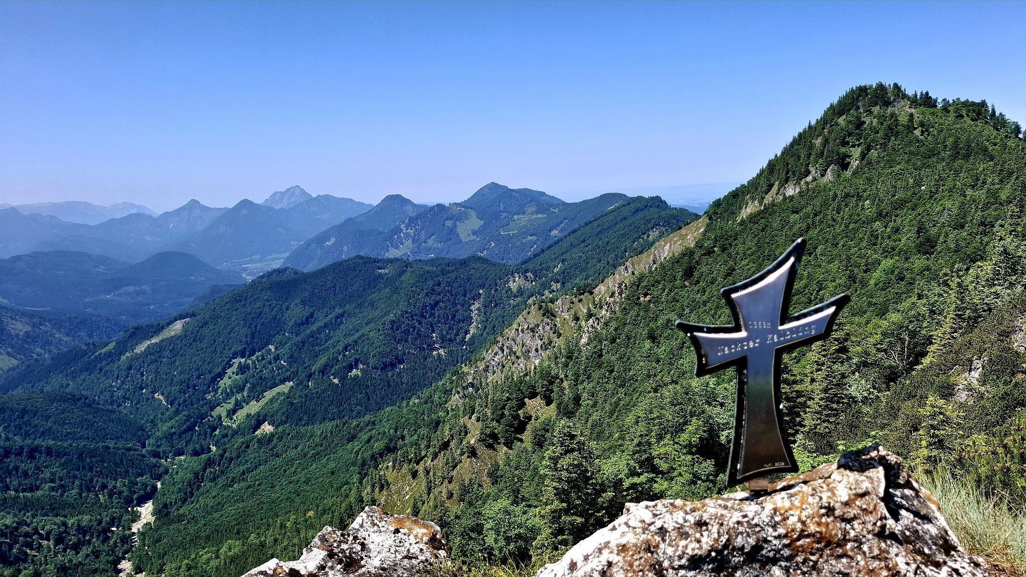
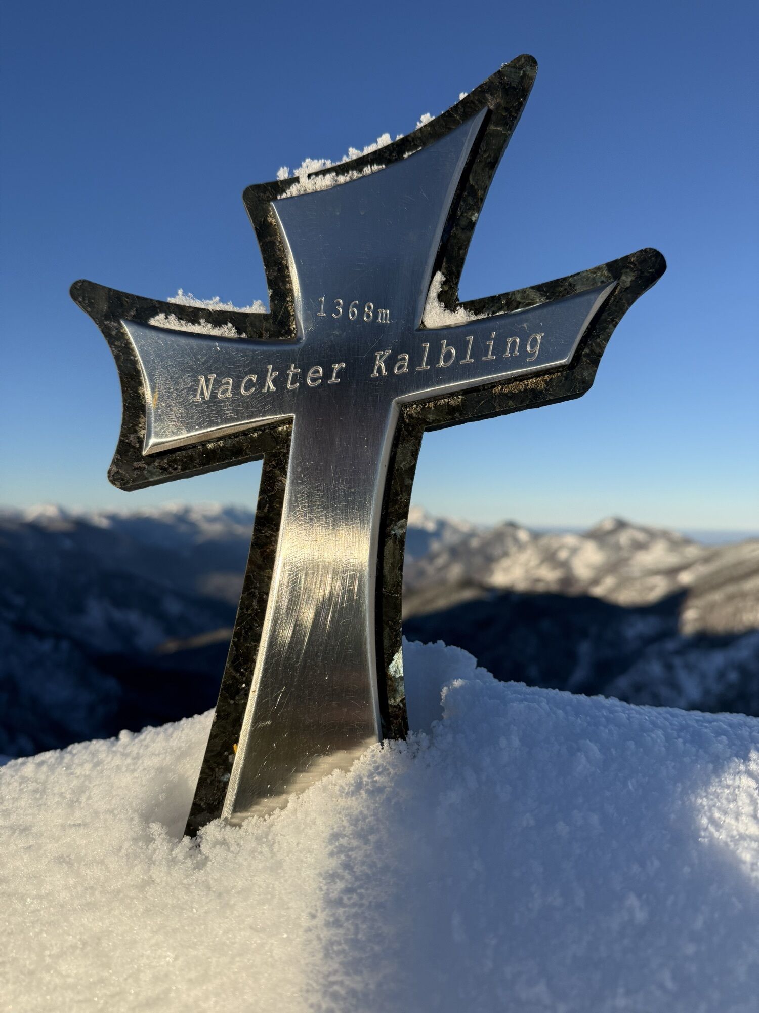
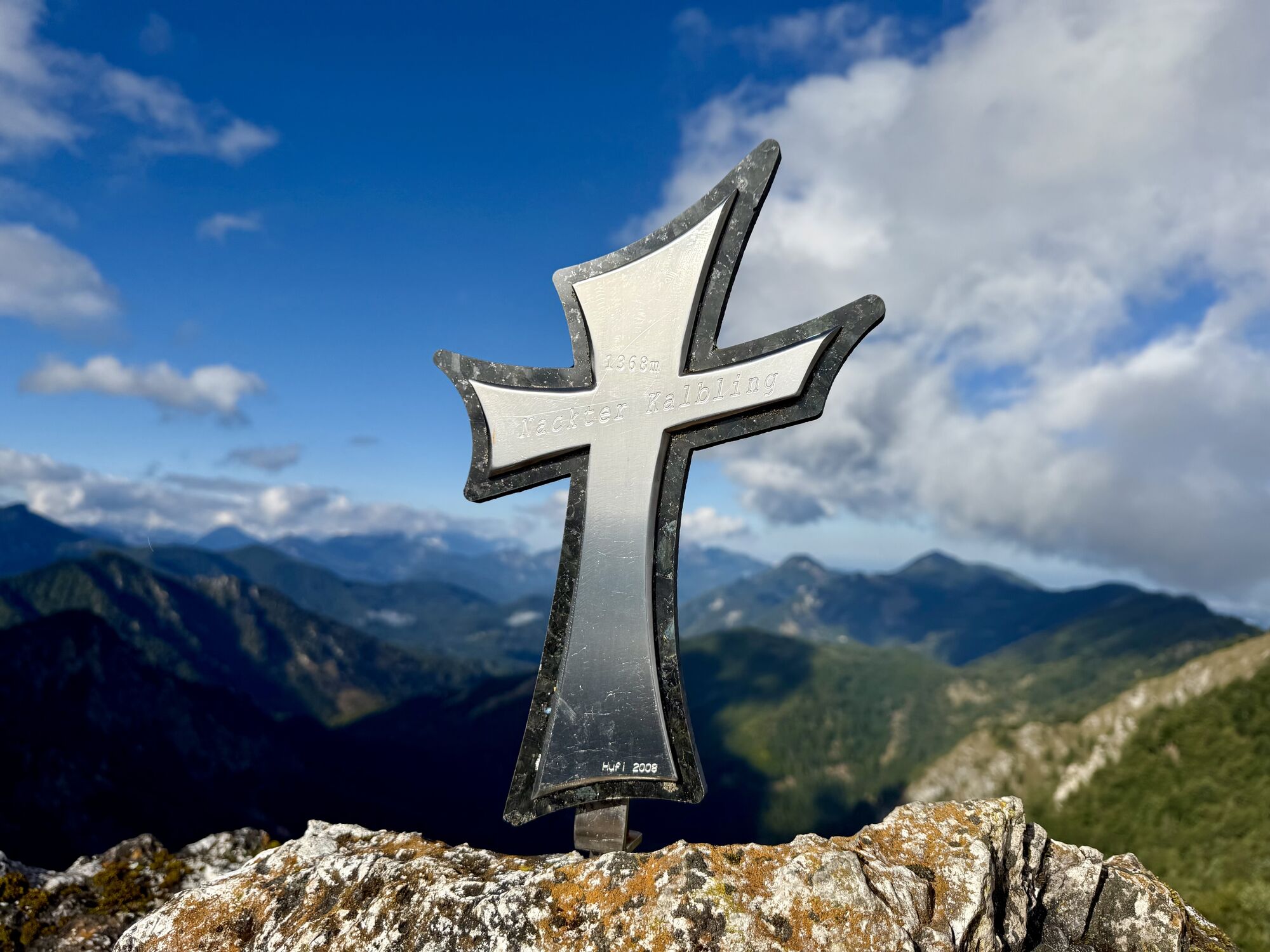
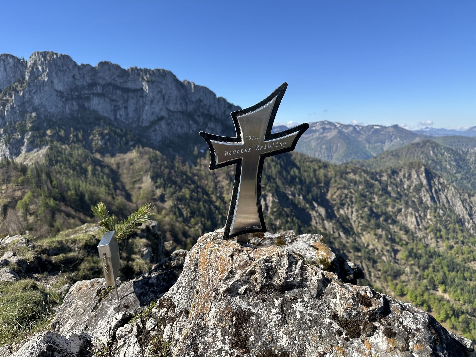
Nackter Kalbling
(1.368 m)
Summit
5,7 km
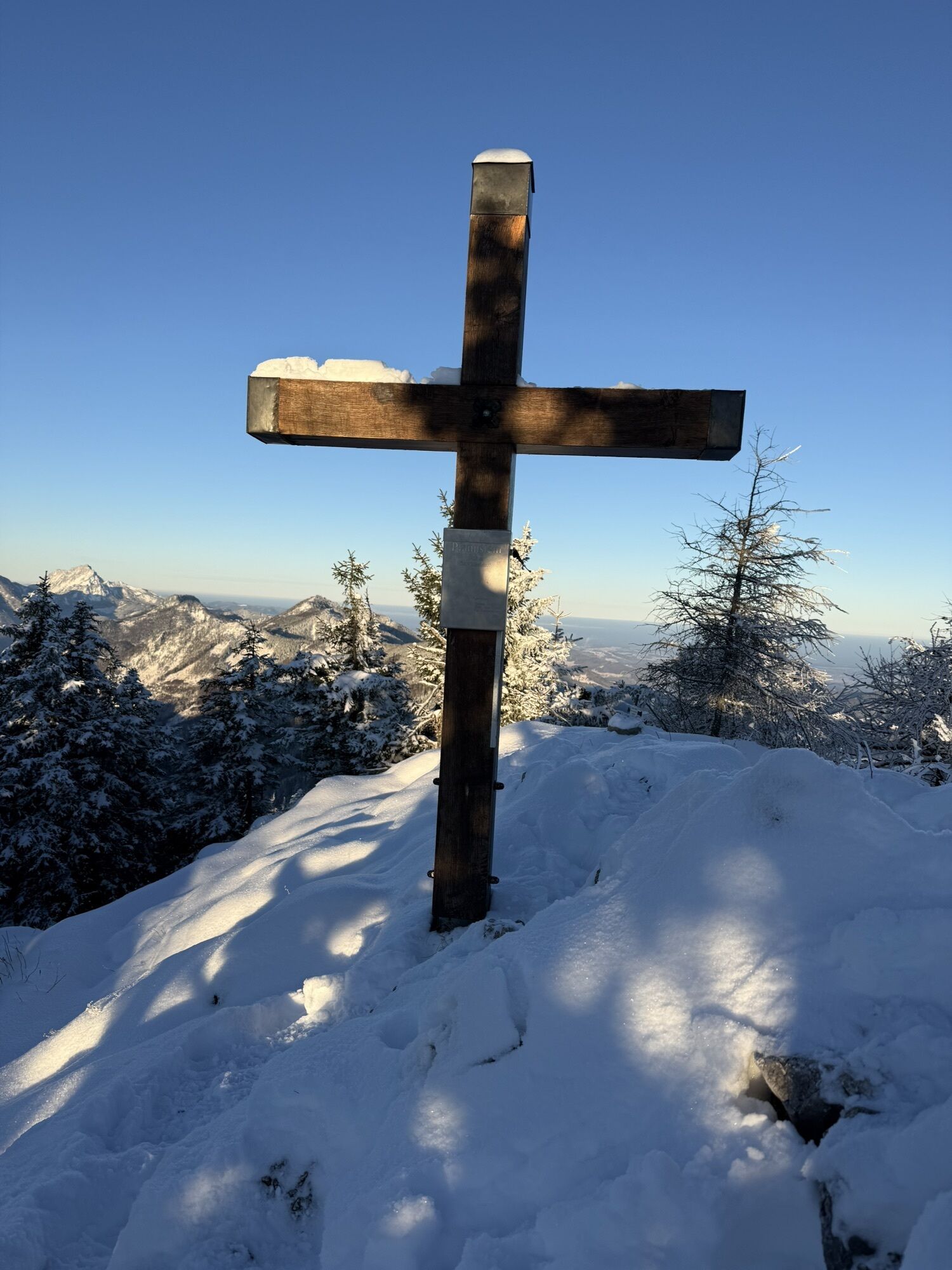
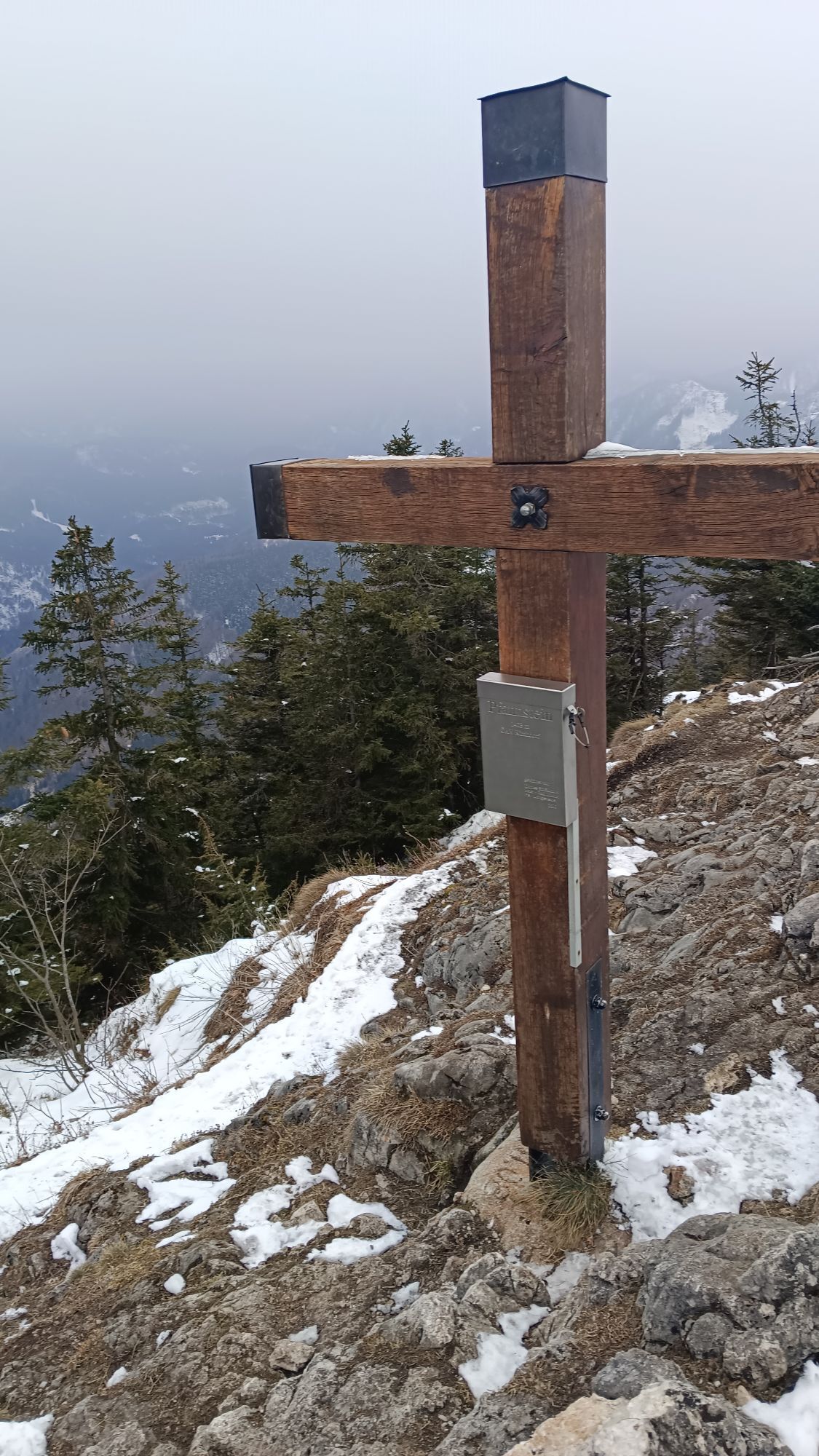
Pfannstein
(1.423 m)
Summit
6,6 km
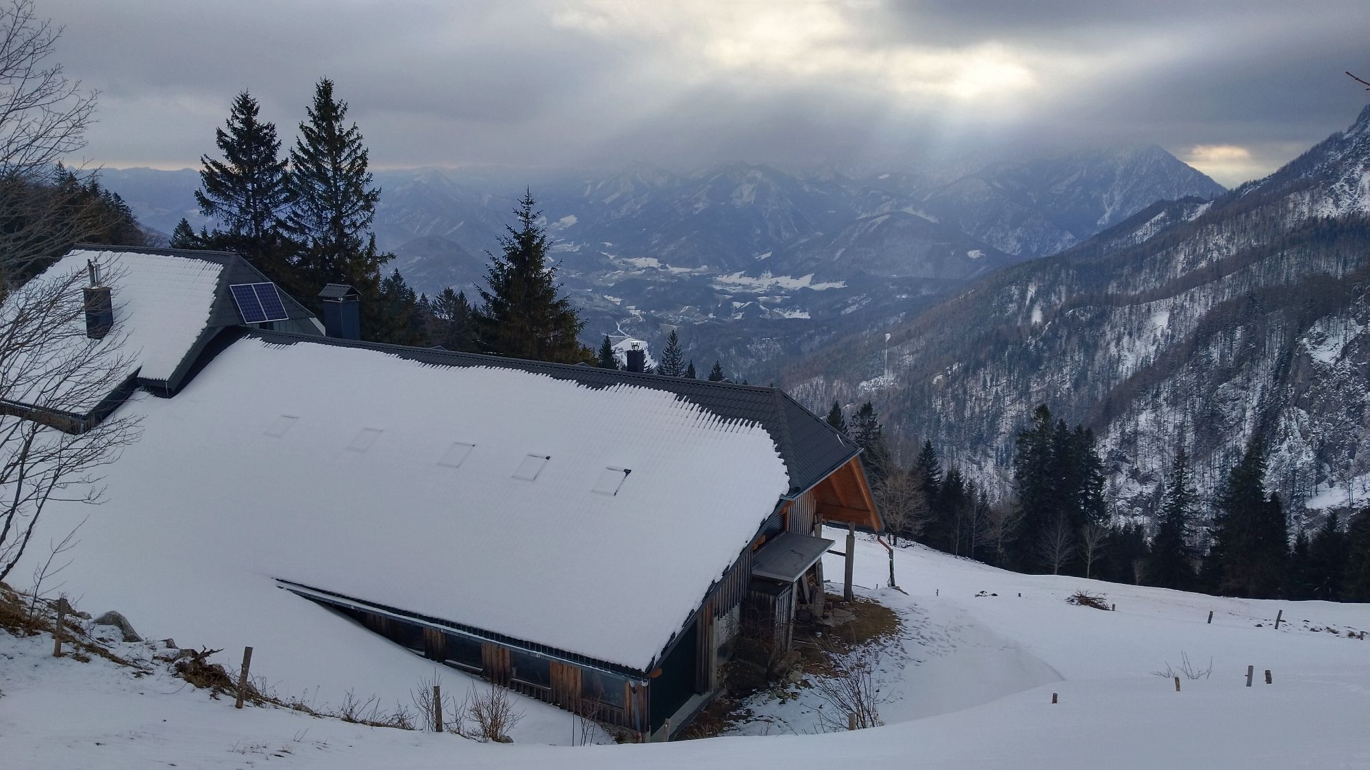
Gradnalm
(1.238 m)
Shelter
7,3 km
Route
Nackter Kalbling & Pfannstein & Rauher Kalbling
medium
Hiking
12,04
km


Last tracked
today
Route information
Summit tour
Yes
Forest area
Yes
Valuations
1 Comment
Regina Bergsmann
01. Feb. 2025
Verified gone
Nackter & Rauher Kalbling + Pfannstein
Popular tours in the neighbourhood
- 4,6
Windhagkogel (1334m)
mediumHiking10,4 km - 4,6
4 Gipfel Tour im Almtal Bräumauer, Maisenkögerl, Hutkogel und Hochsalm
mediumHiking9,80 km - 4,4
Steyrerhütte
mediumHiking14,3 km - 4,4
Mittagstein und Hochsalm
mediumHiking9,53 km - 4,3
Meisenkögerl
lightHiking3,29 km - 4,2
Kasberg
mediumHiking12,2 km - 4,3
Kasberg Roßschopf Steyrerhütte (8.8.2019) vom Brunntal Steyrling
mediumHiking17,5 km - 4,1
Kremsmauer, Pyramide von Steyrling mit Andi
Hiking10,5 km - 4,5
Ödseen
lightHiking14,6 km - 4,3
Hochberghaus - Spitzplaneck
lightHiking11,5 km
Hiking & Tracking

Over 550.000 tour suggestions, detailed maps and an intuitive route planner make the app a must-have for all nature enthusiasts.

Don't miss out on offers and inspiration for your next holiday
Subscribe to the newsletter
Error
An error has occurred. Please try again.Thank you for your registration
Your e-mail address has been added to the mailing list.
Tours throughout Europe
Austria Switzerland Germany Italy Slovenia France Netherlands Belgium Poland Liechtenstein Czechia Slovakia Spain Croatia Bosnia and Herzegovina Luxembourg Andorra Portugal Iceland United Kingdom Ireland Greece Albania North Macedonia Malta Norway Montenegro Moldova Kosovo Hungary San Marino Romania Estonia Latvia Belarus Cyprus Lithuania Serbia Bulgaria Monaco Denmark Sweden Finland