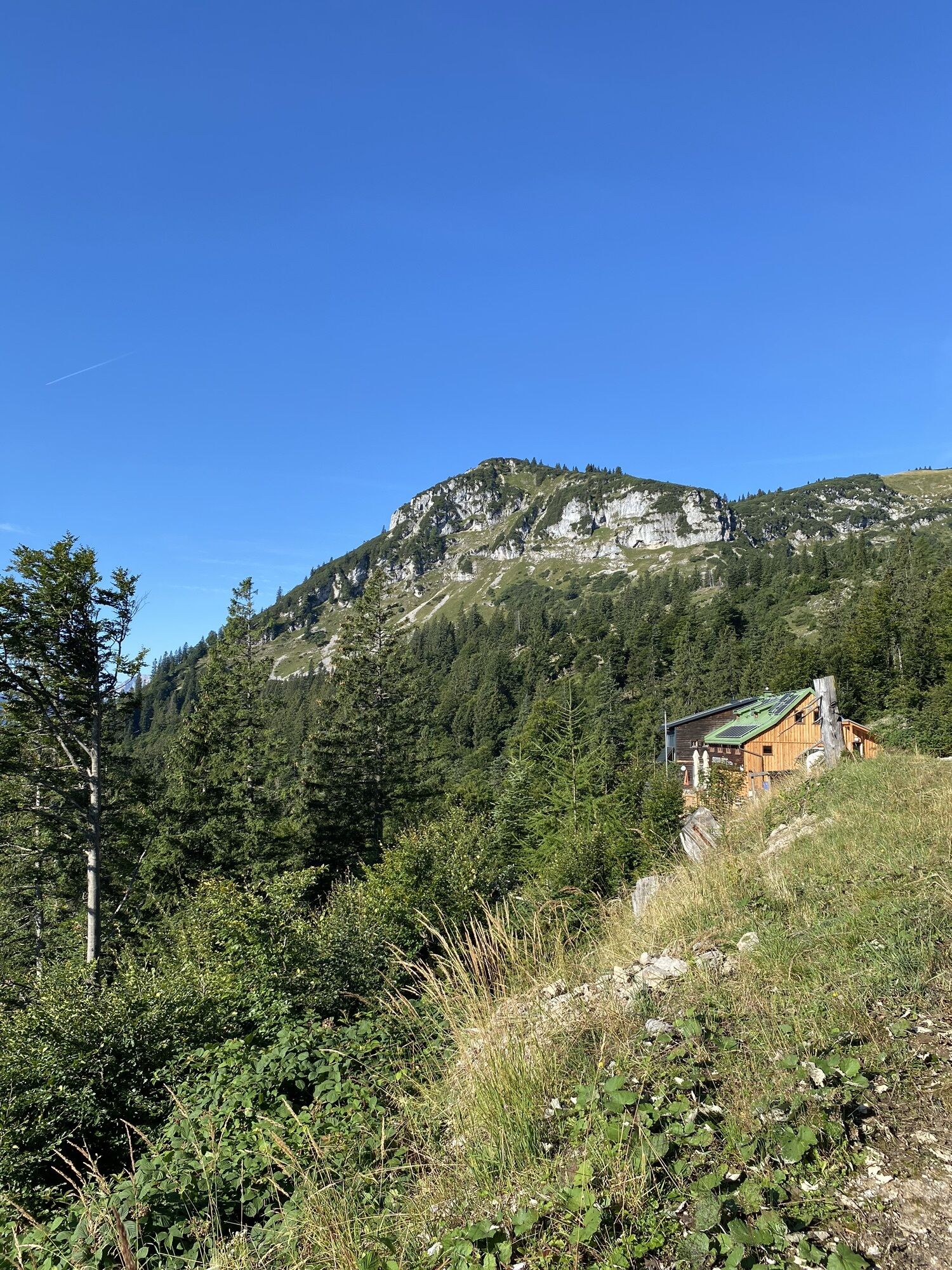
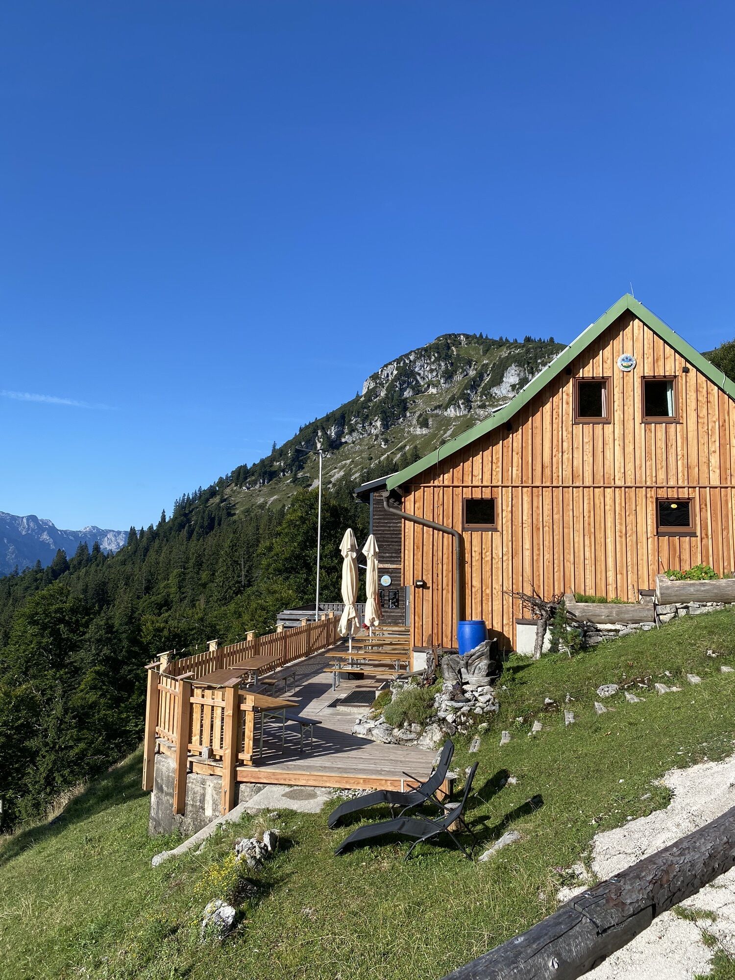
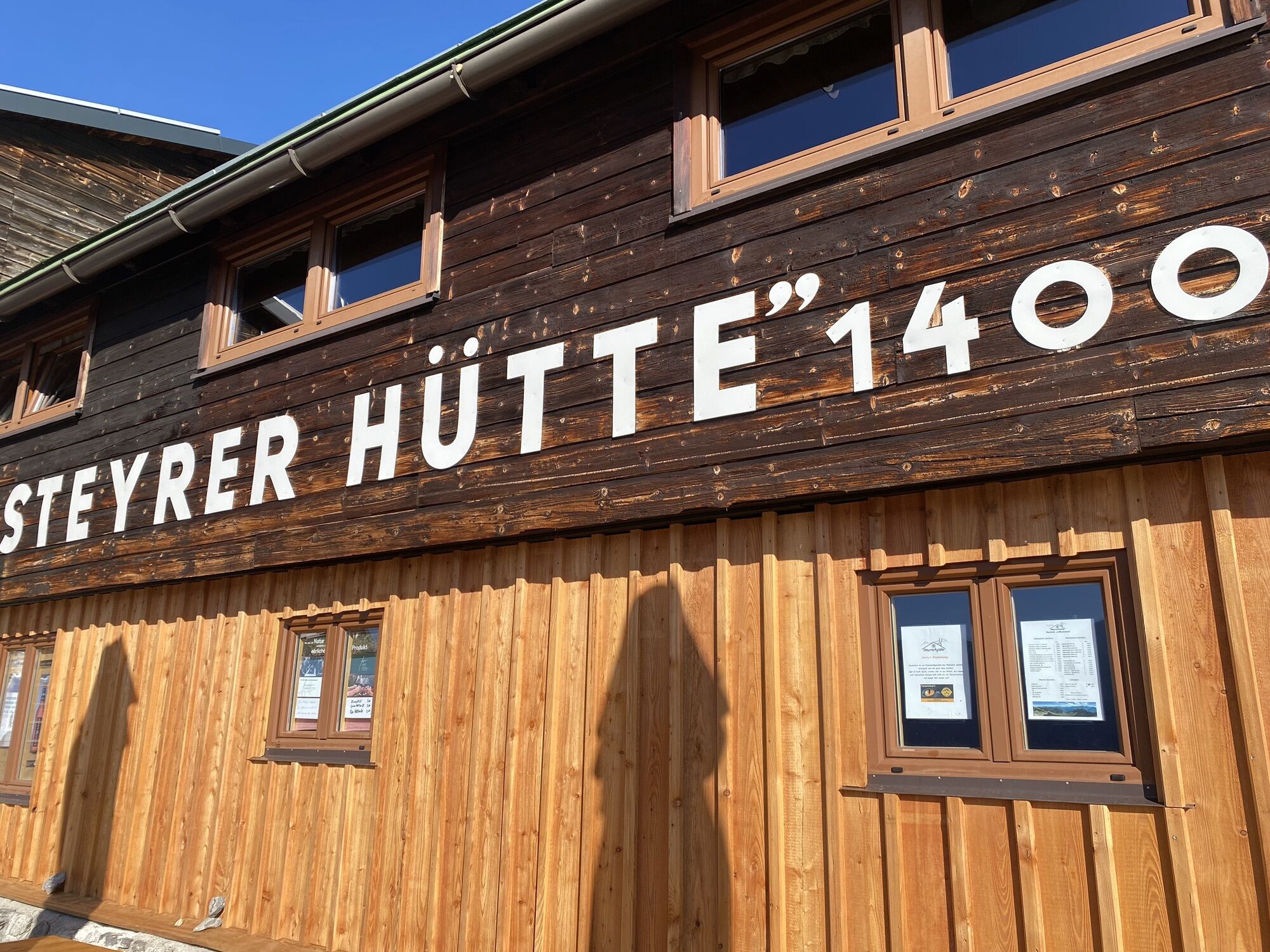
Steyrerhütte
medium
Navigate
Navigate
Get this tour on your mobile
Steyrerhütte
medium
Hiking
14.28
km
Scan the QR code and start navigation in the bergfex app

Hiking & Tracking


Distance
14.28
km
Duration
04:25
h
Ascent
774
m
Sea level
555 -
1,353
m
Track download
Steyrerhütte
medium
Hiking
14.28
km
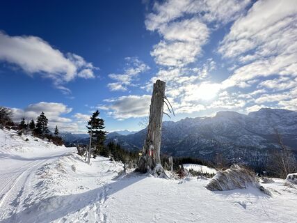
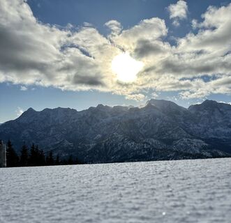
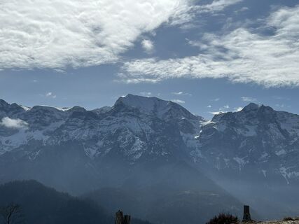
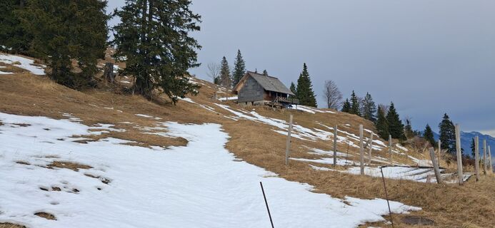
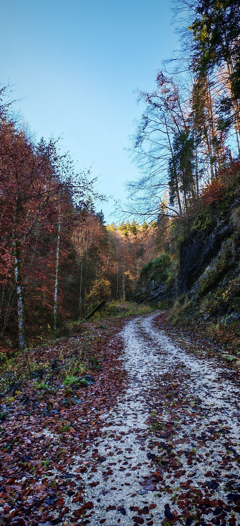
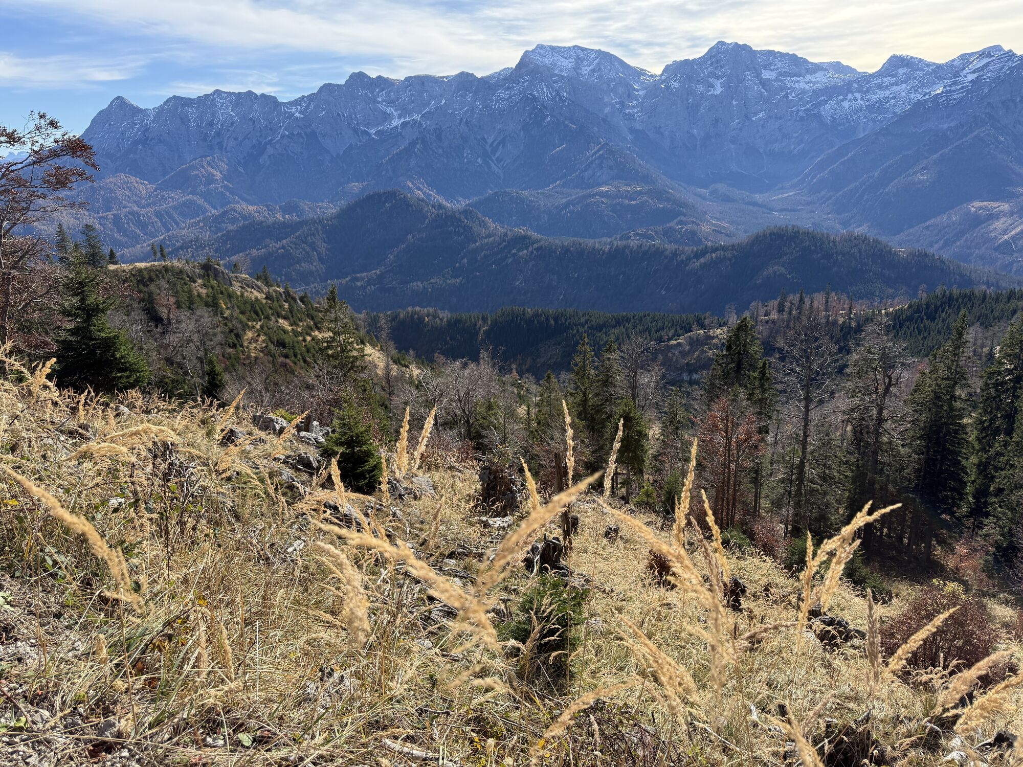
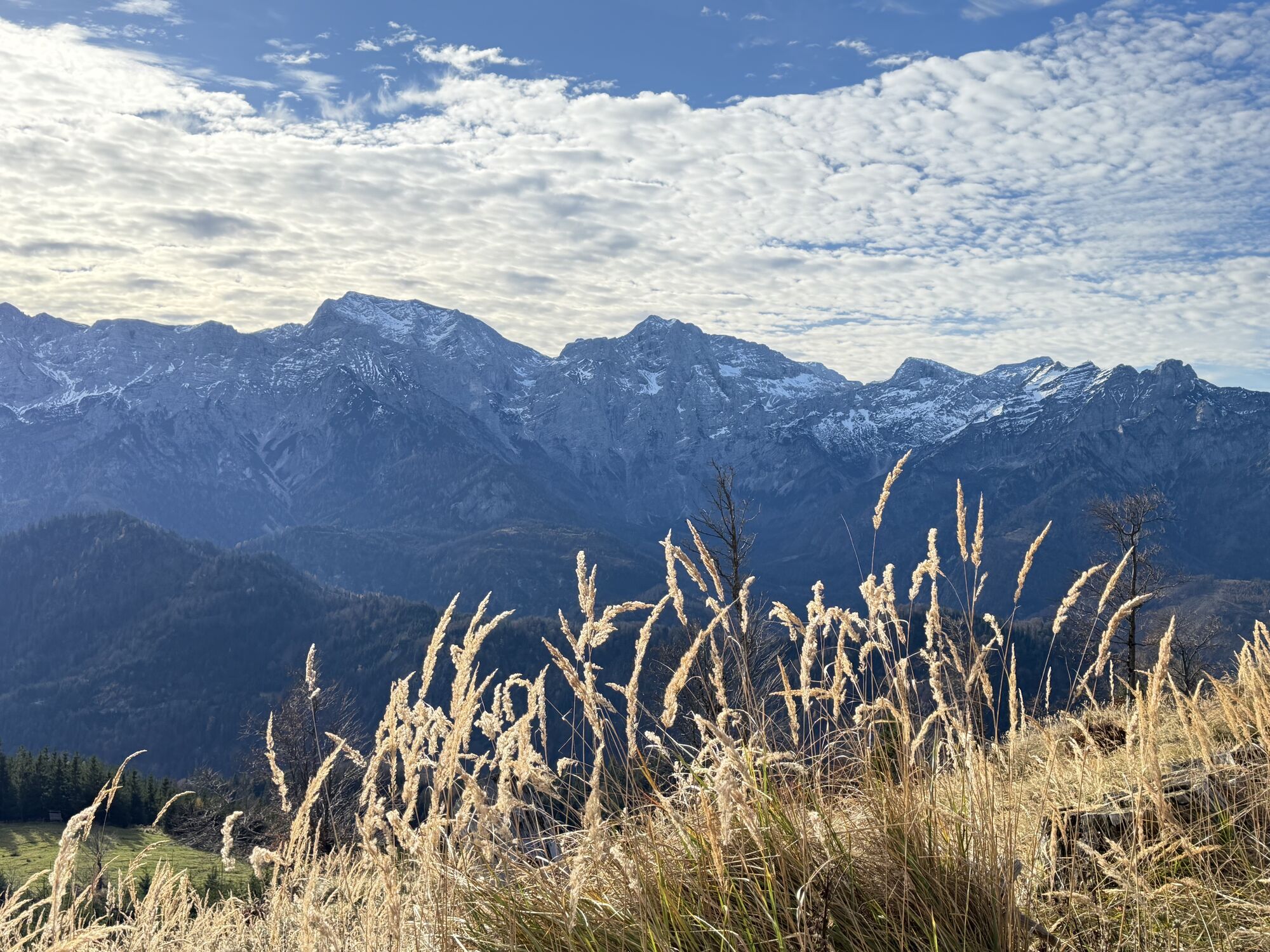
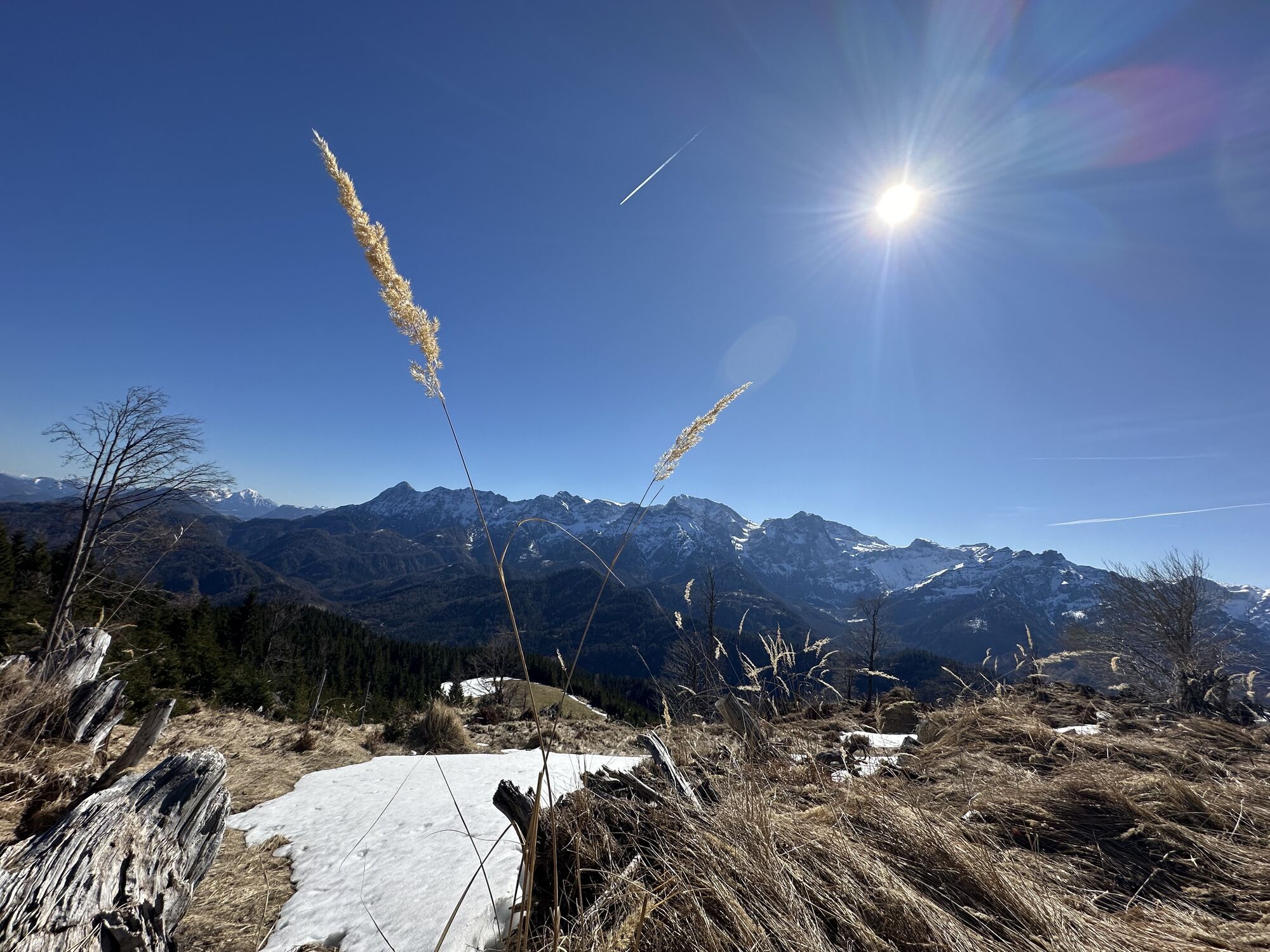
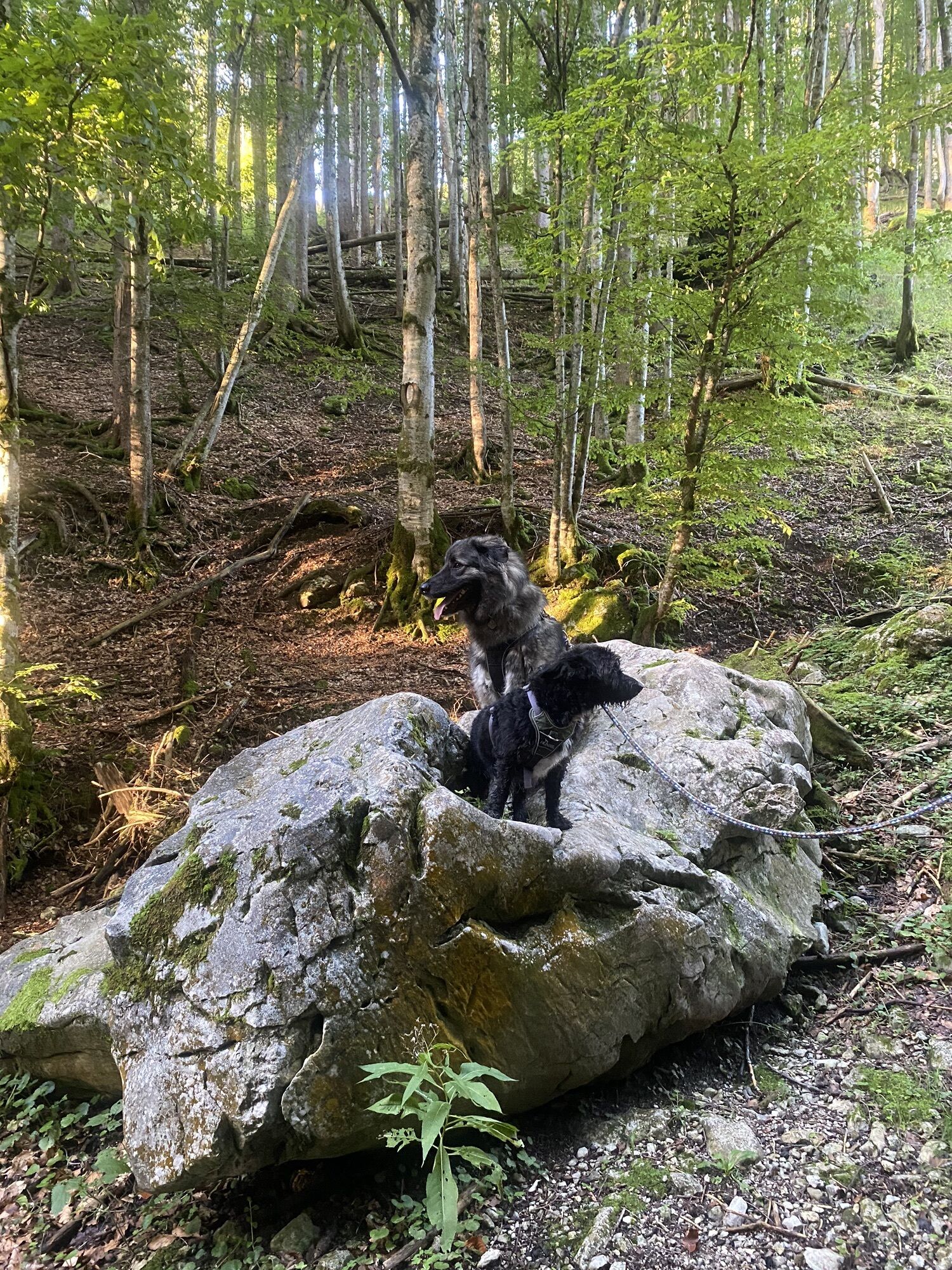
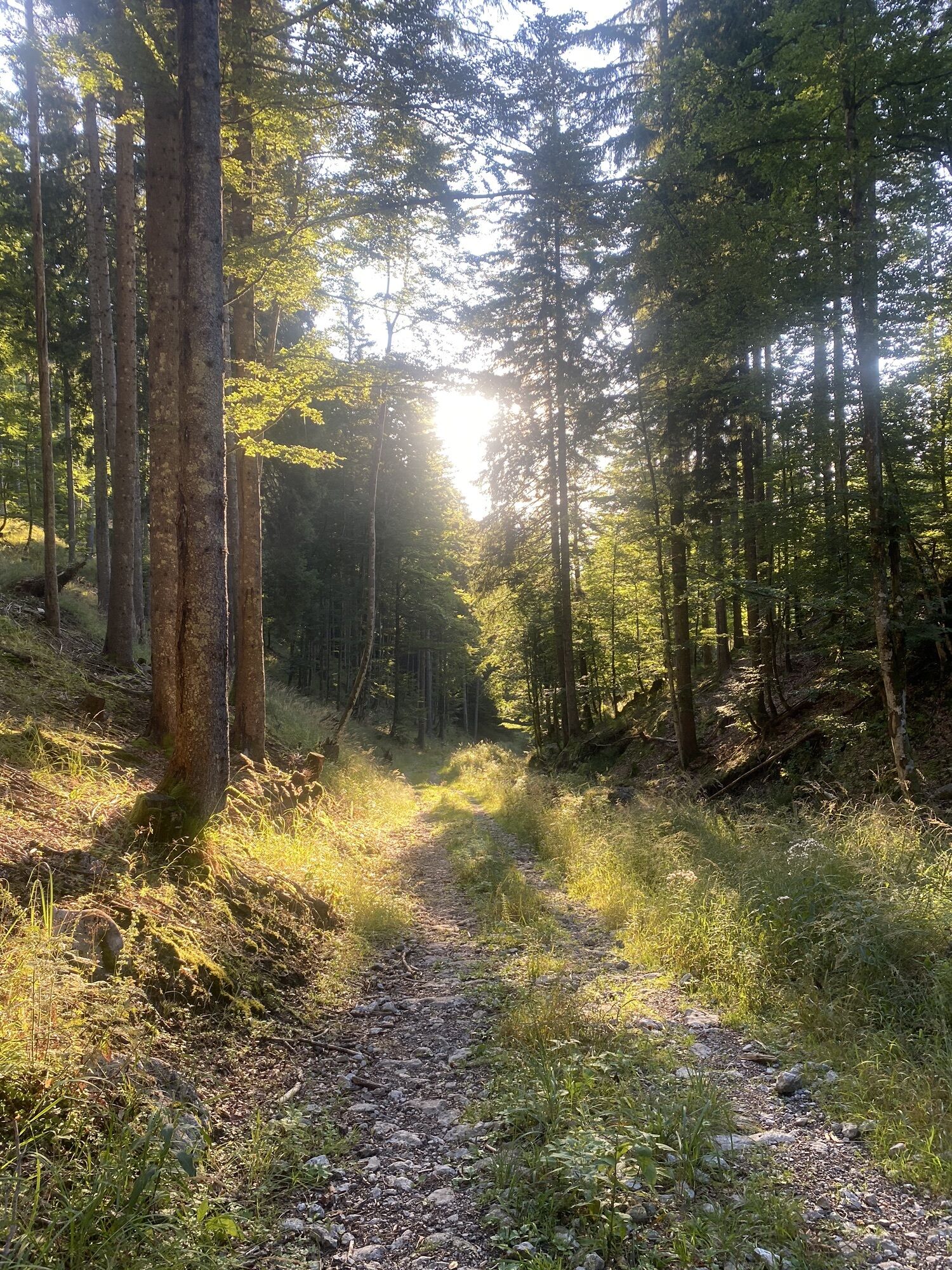
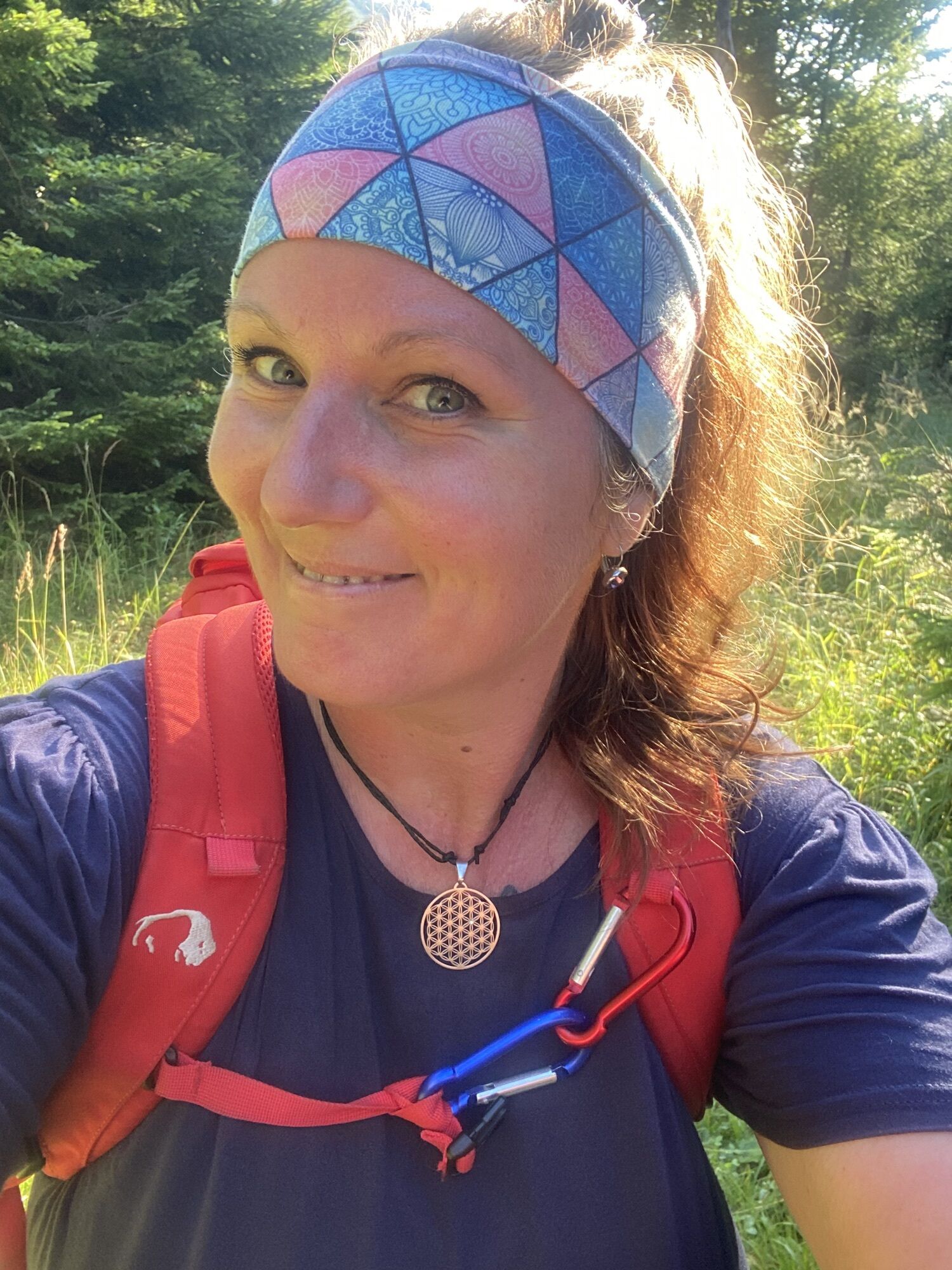
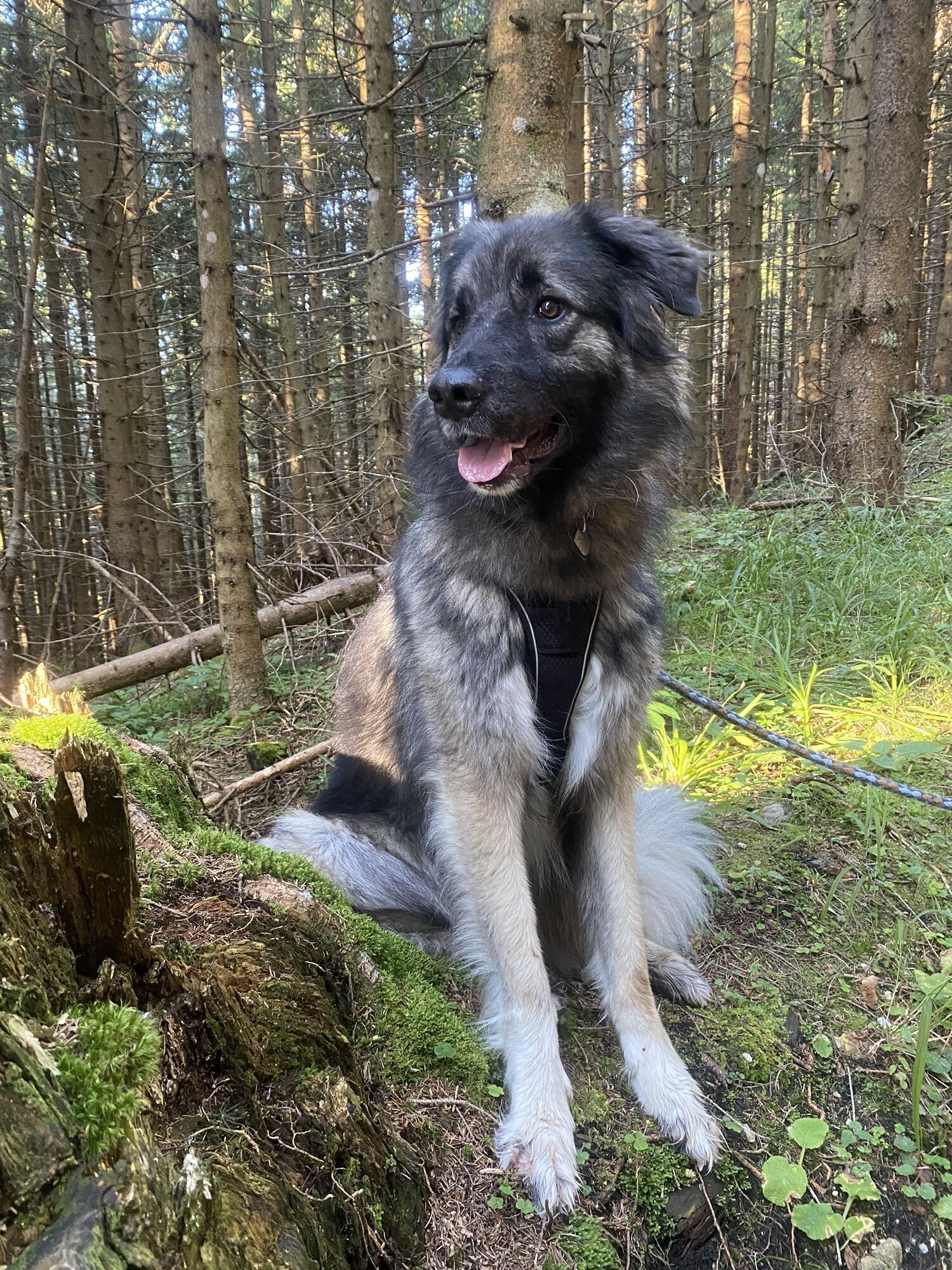
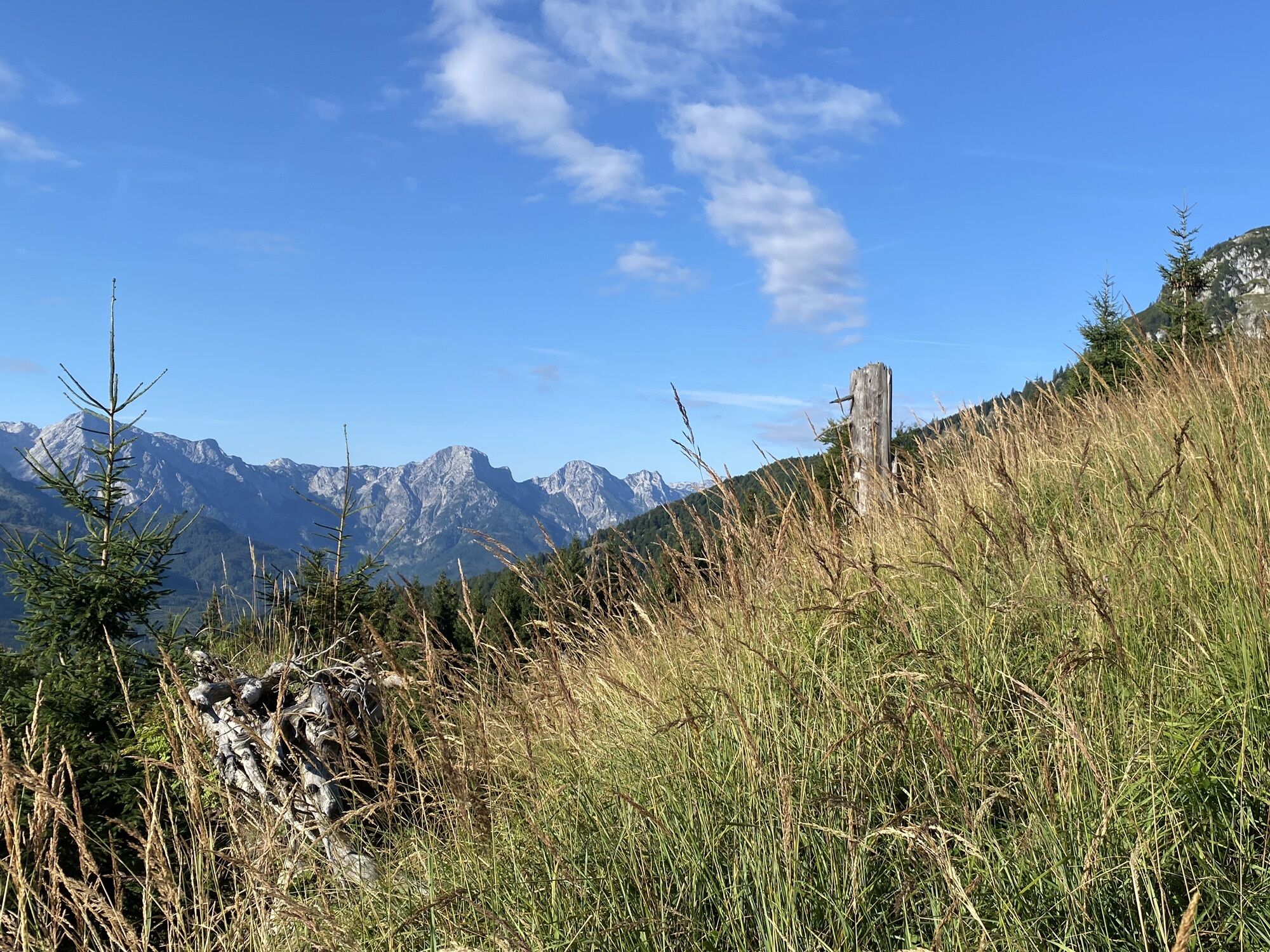
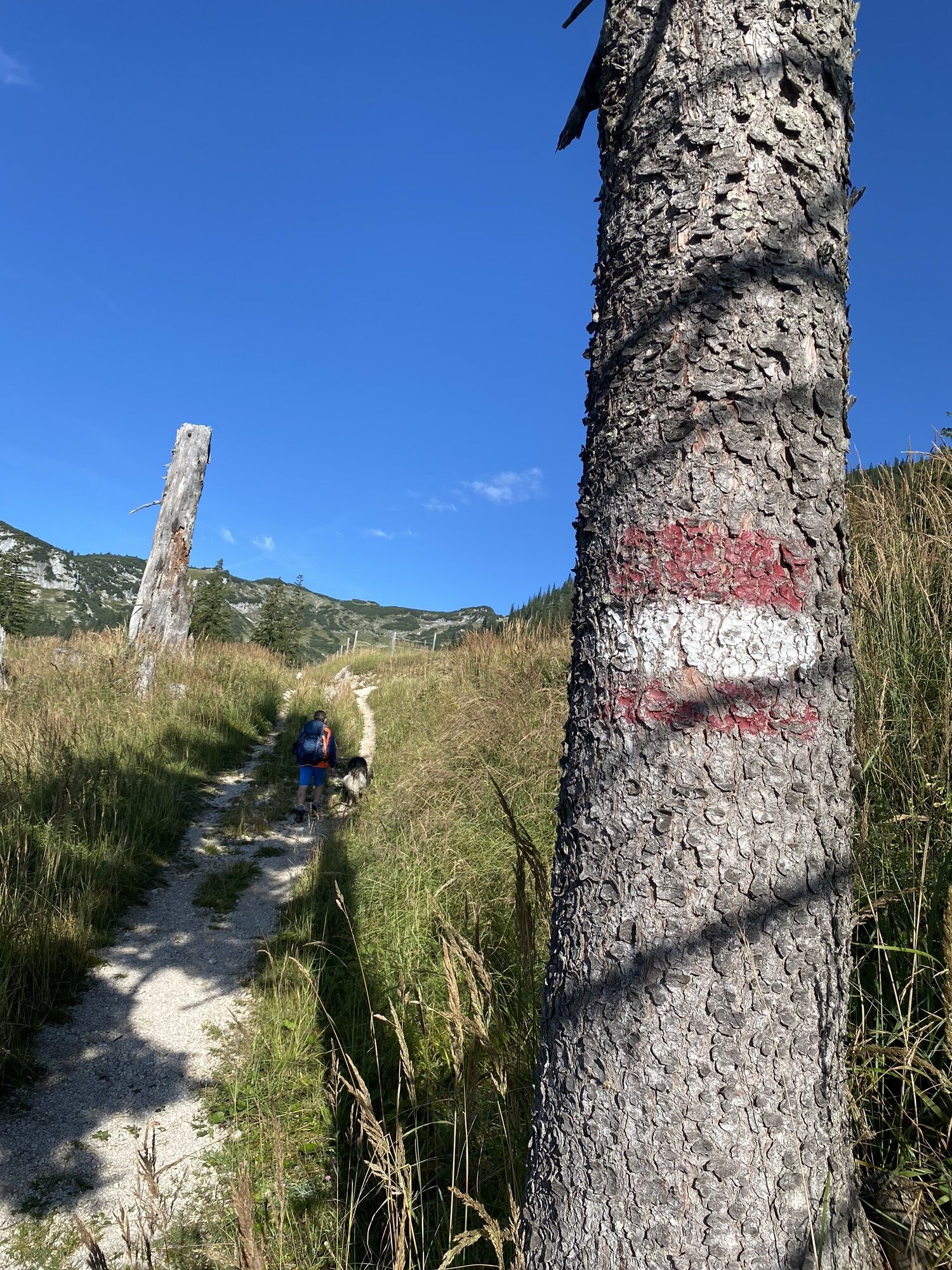
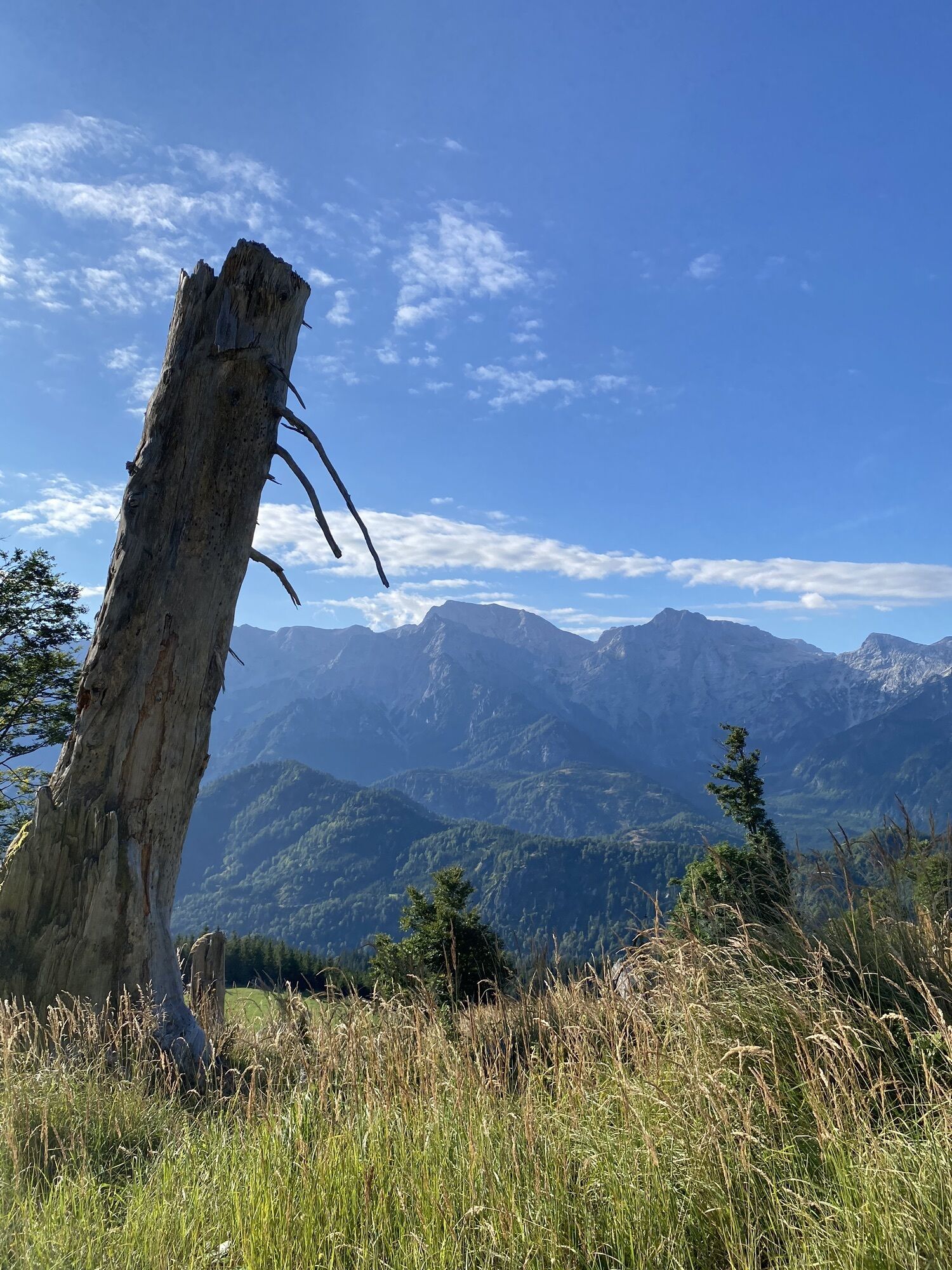
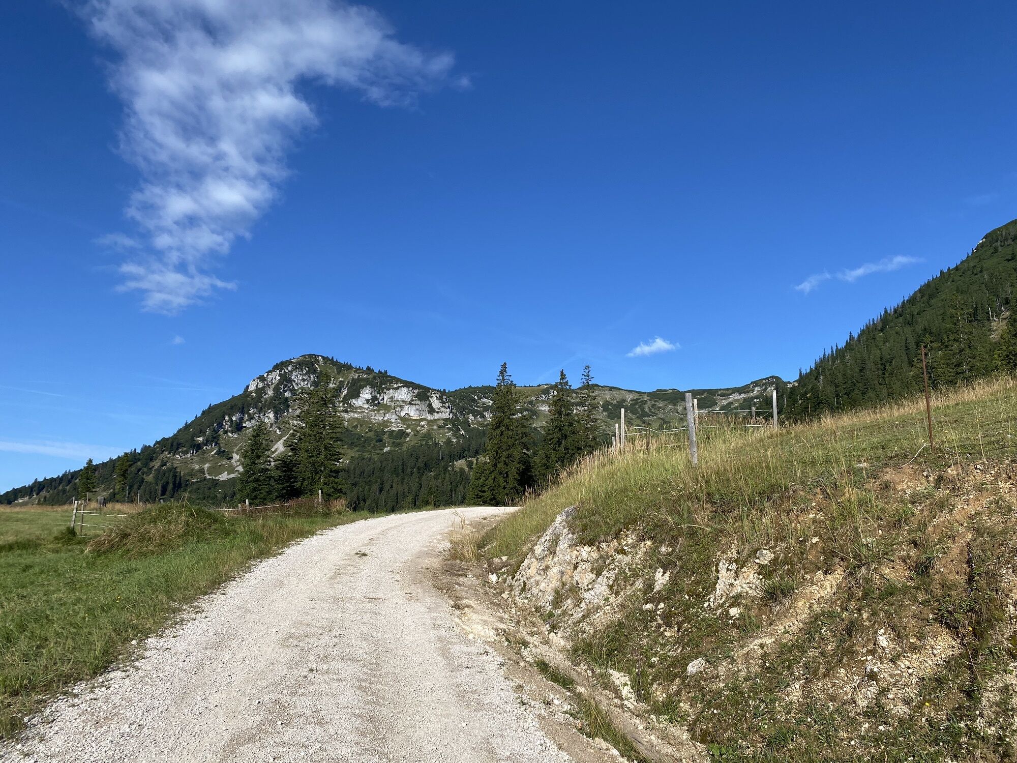
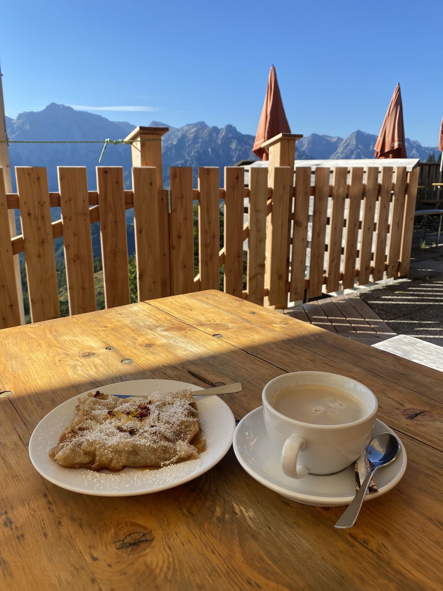
Photos from our users
-

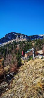
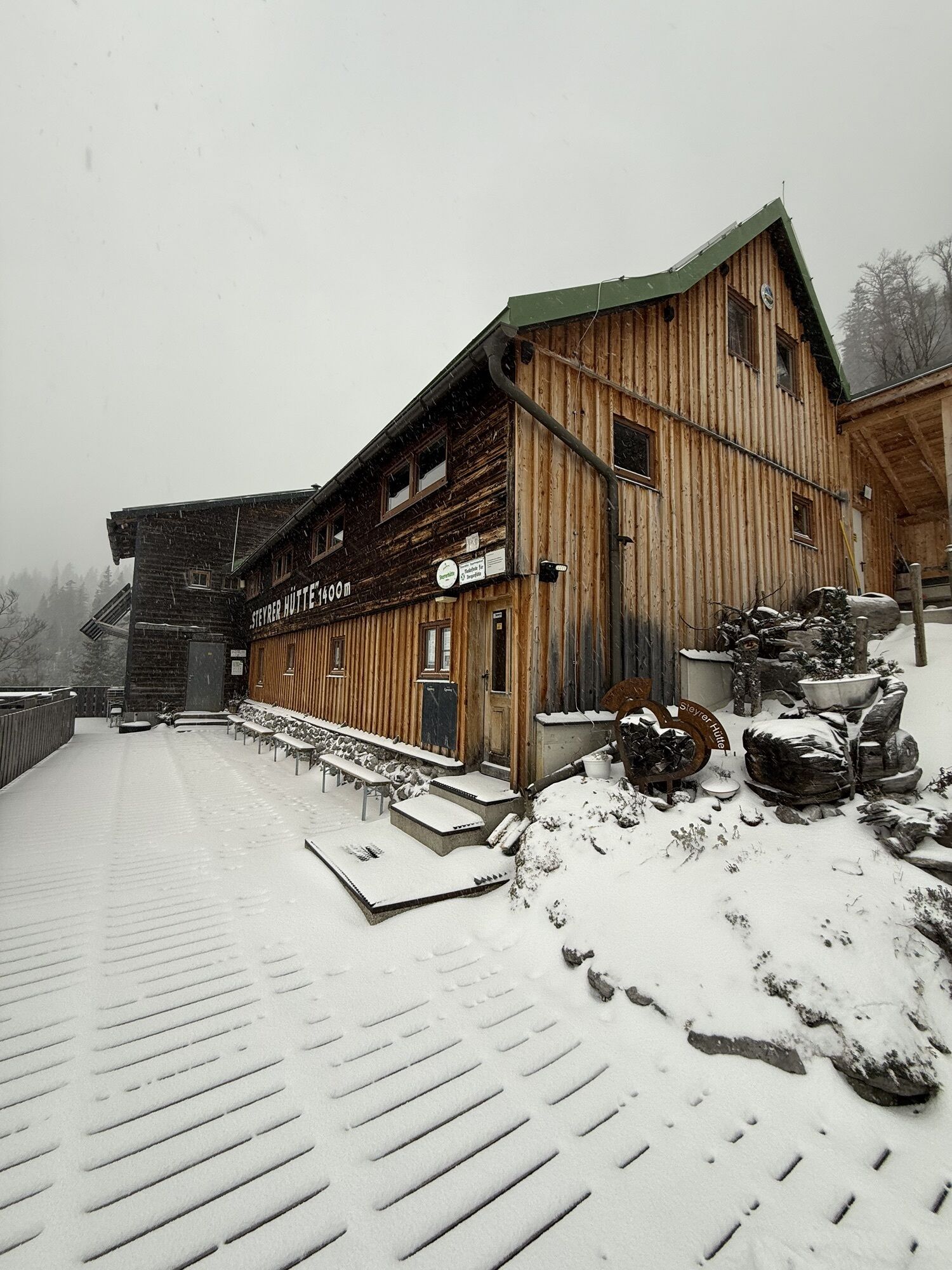
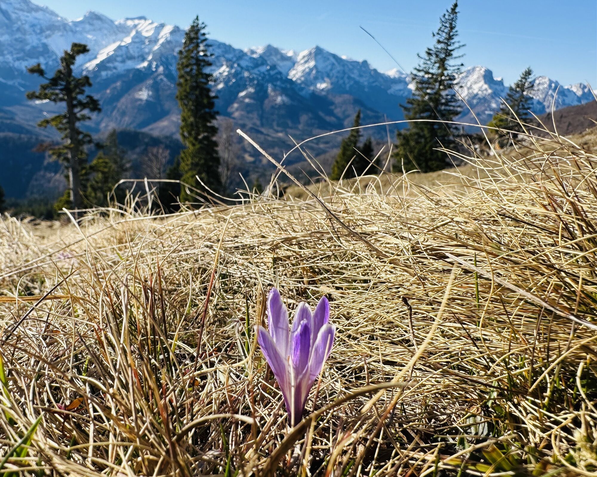
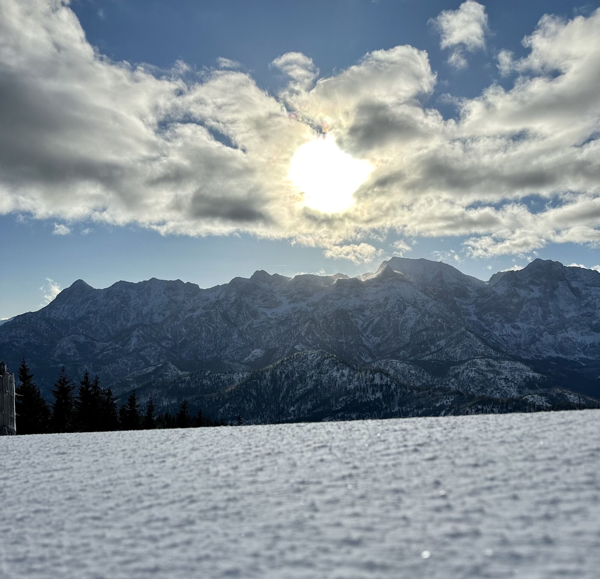
 © Berg NoarCreated on 30.12.2025
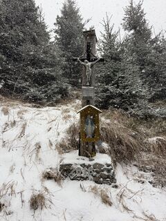
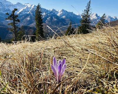
 -
 © Berg NoarCreated on 30.12.2025
 -
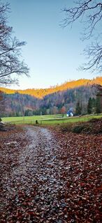
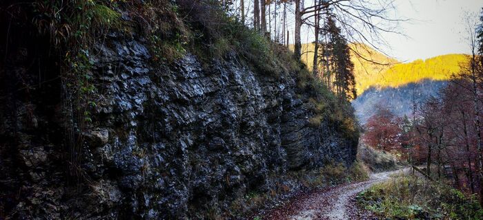
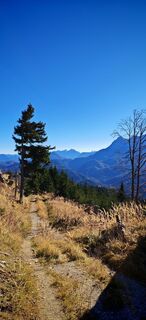
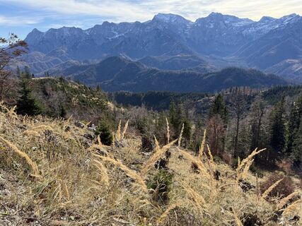
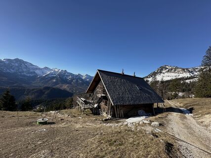
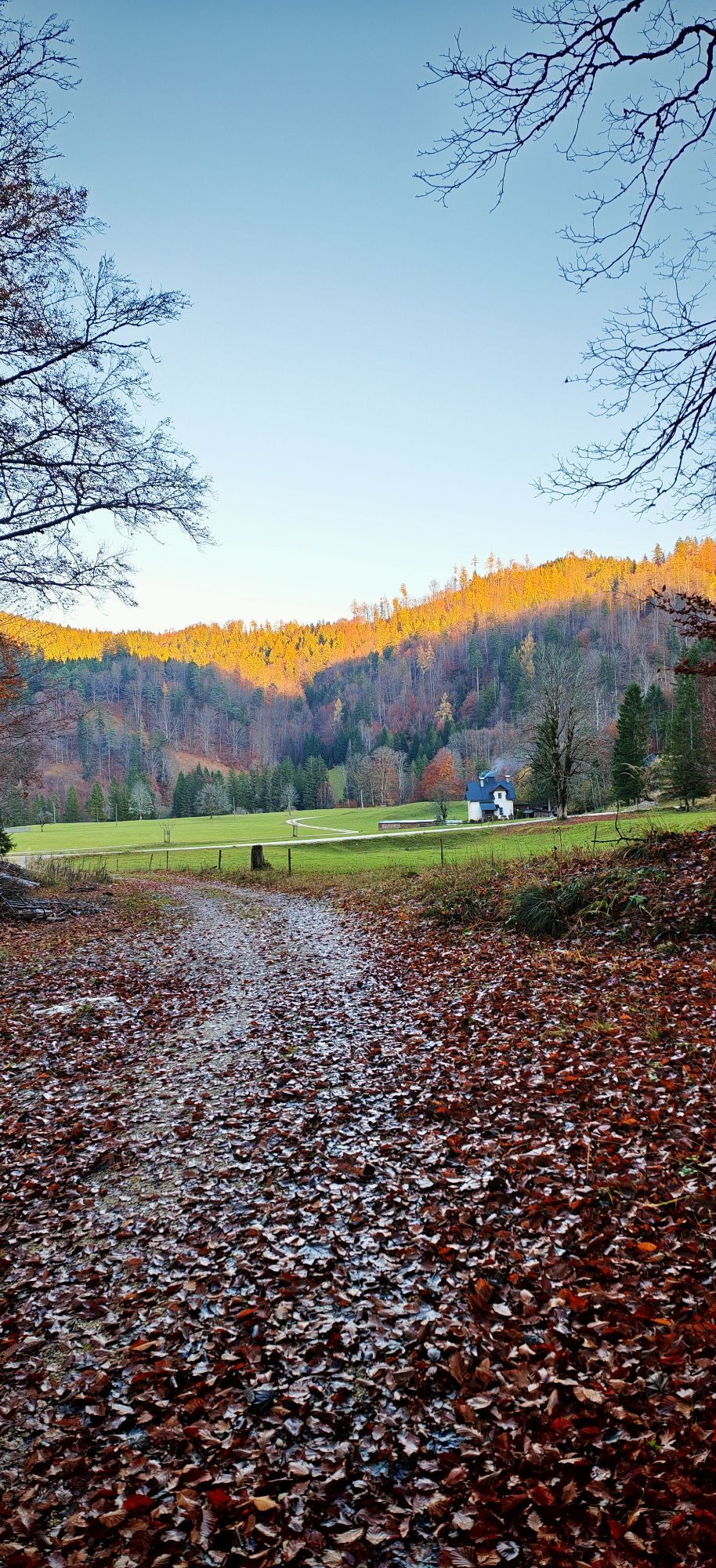
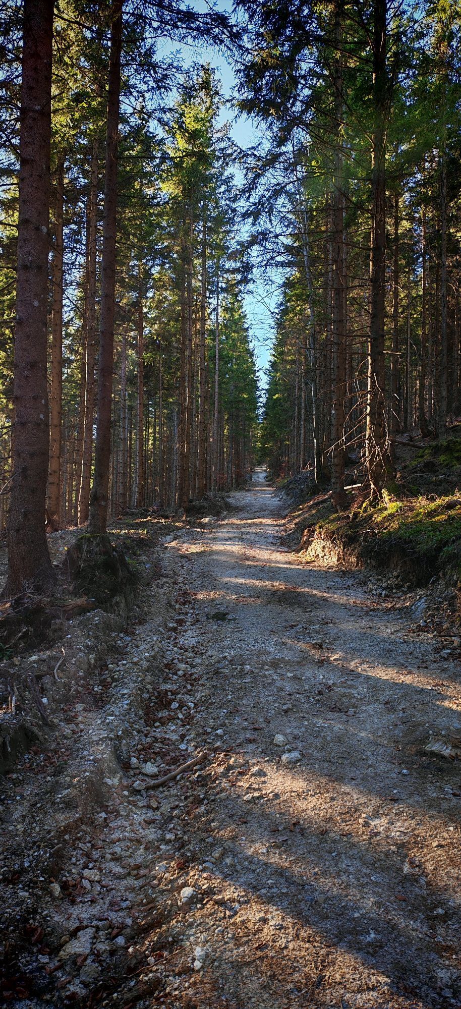
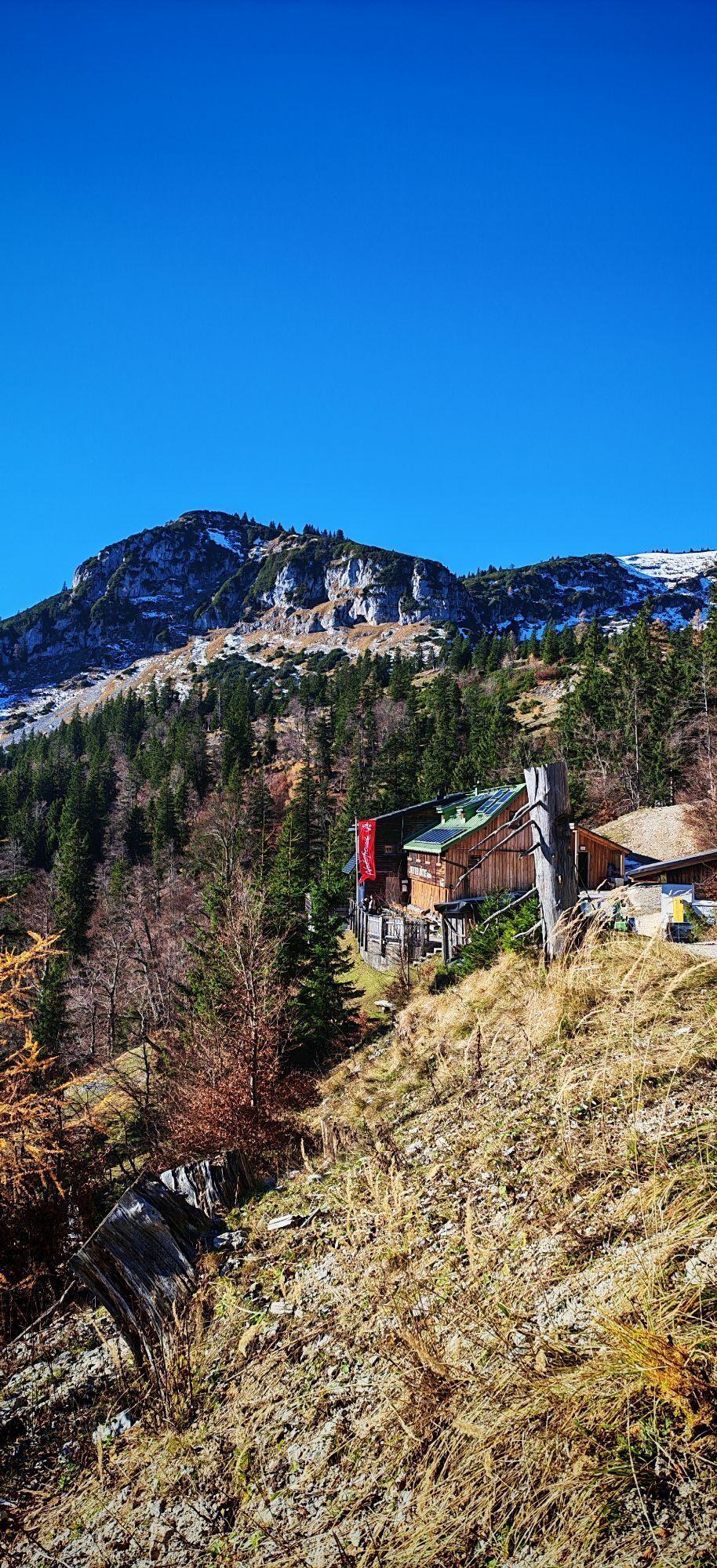
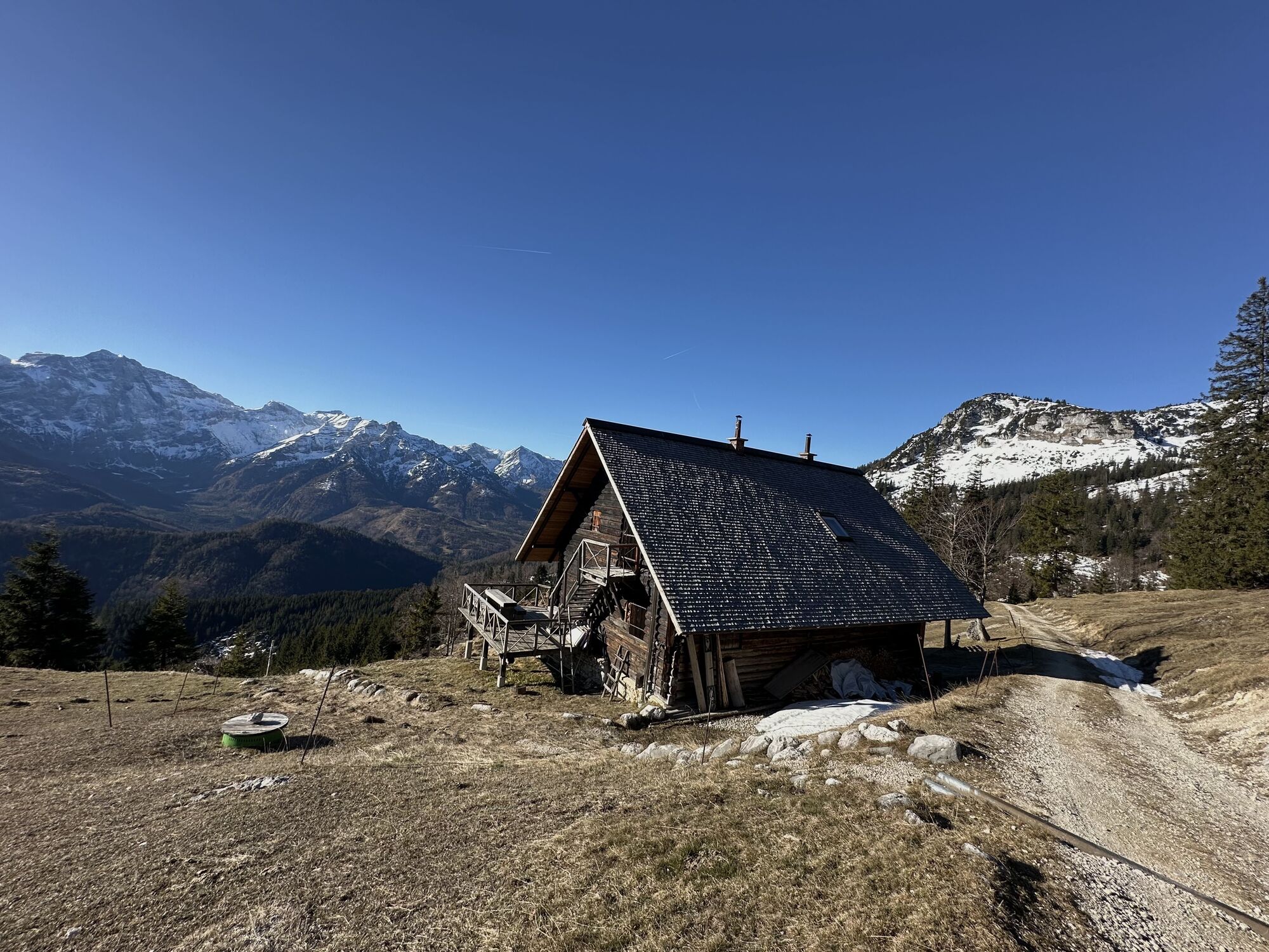
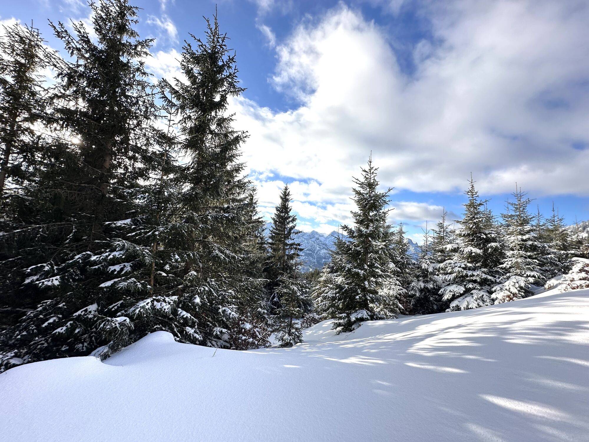
 © ReginaStCreated on 07.11.2025
 -
 © ReginaStCreated on 07.11.2025
 -
 © ReginaStCreated on 07.11.2025
 -
 © ReginaStCreated on 07.11.2025
 -
 © ReginaStCreated on 07.11.2025
 -
 © ReginaStCreated on 07.11.2025
 -
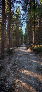
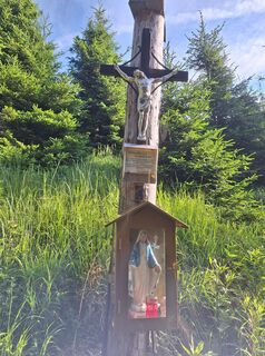
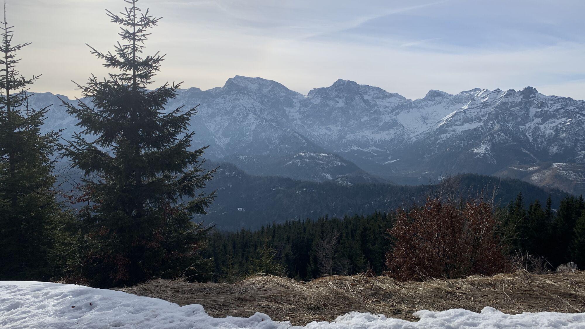
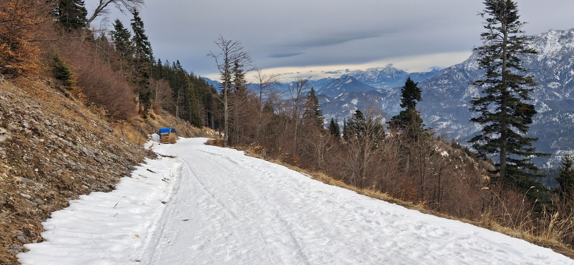
 © Natur_erleben_dgCreated on 01.11.2025
 -
 © Natur_erleben_dgCreated on 01.11.2025
 -
 © Brigitte FischerederCreated on 30.06.2025
 -
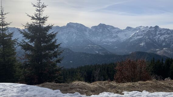
 © Natur_erleben_dgCreated on 06.03.2025
 -
 © Natur_erleben_dgCreated on 06.03.2025
 -
 © Natur_erleben_dgCreated on 06.03.2025
 -
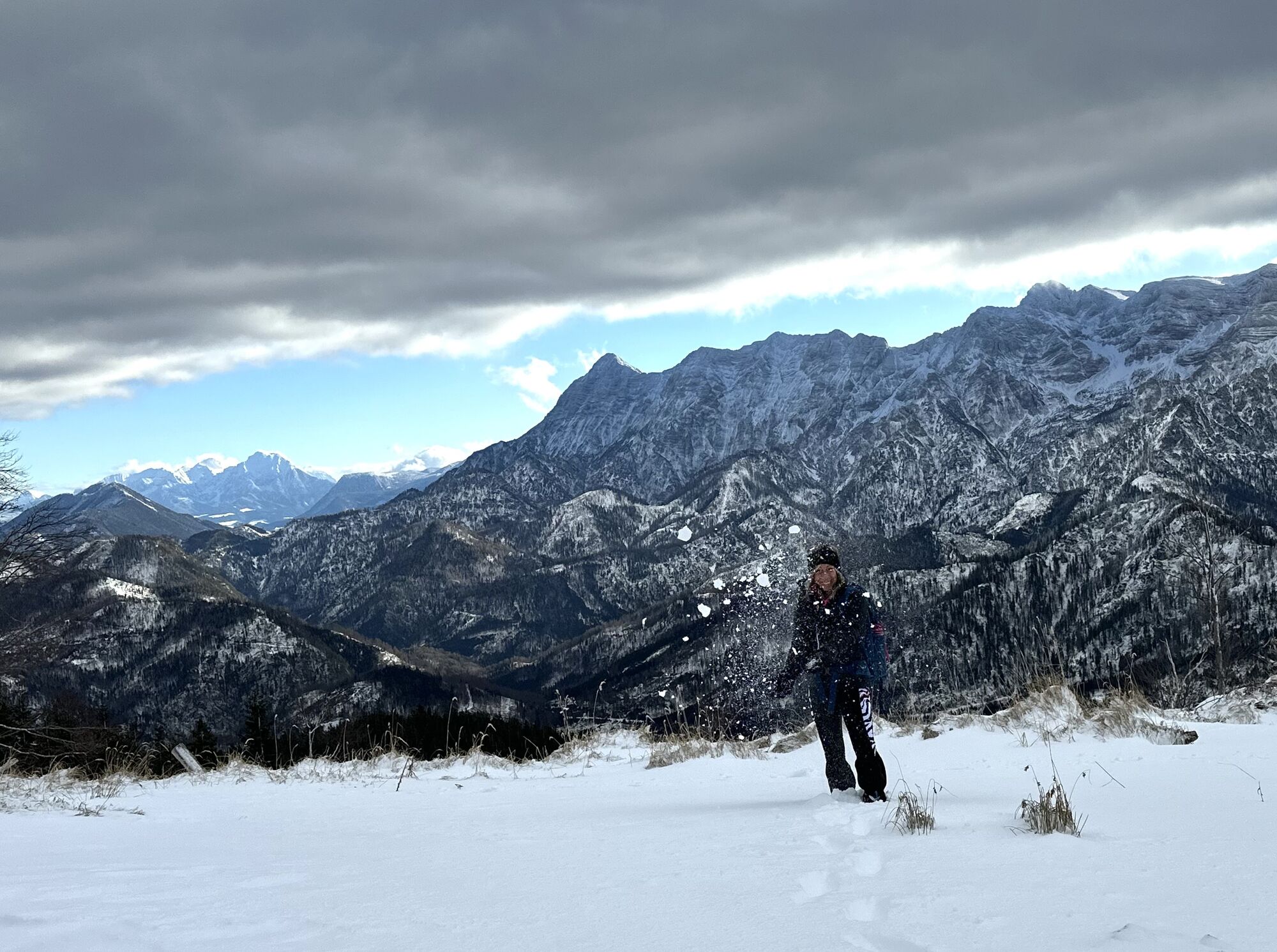
 © Franz StachelbergerCreated on 07.02.2025
 -
 © Natur_erleben_dgCreated on 21.12.2024
 -
 © Natur_erleben_dgCreated on 21.12.2024
 -
 © Natur_erleben_dgCreated on 21.12.2024
 -
 © Natur_erleben_dgCreated on 21.12.2024
 -
 © Stefan RuhringerCreated on 02.03.2024
 -
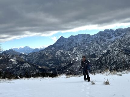
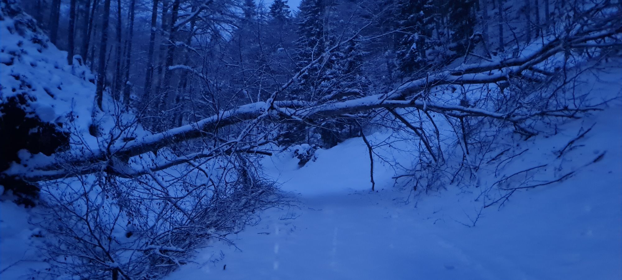
 © Helmut ingelsbergerCreated on 24.01.2026
 -
 © Helmut ingelsbergerCreated on 24.01.2026
 -

 © AfaCreated on 09.12.2023


Last tracked
4 days ago
Valuations
3 Comments
Stronsky
21. Jan. 2026
Top Wintertour
Hekman
22. Mar. 2025
Verified gone
Steyrer Hütte und retour
Super Tour von Brunnental durch den Katzengraben auf die Steyrerhütte und retour.
Activities along the tour
-

Klaus an der Pyhrnbahn, Oberösterreich/Österreich
22.03.2026 – Hiking -
Klaus an der Pyhrnbahn, Oberösterreich/Österreich
22.03.2026 – Hiking -

Steyrerhütte
28.02.2026 – Hiking -

Klaus an der Pyhrnbahn, Oberösterreich/Österreich
24.01.2026 – Hiking -
Klaus an der Pyhrnbahn, Oberösterreich/Österreich
24.01.2026 – Hiking -

Klaus an der Pyhrnbahn, Oberösterreich/Österreich
19.01.2026 – Hiking -

Klaus an der Pyhrnbahn, Oberösterreich/Österreich
11.01.2026 – Hiking -
Klaus an der Pyhrnbahn, Oberösterreich/Österreich
30.12.2025 – Hiking -
Steyrerhütte
22.11.2025 – Hiking -
Klaus an der Pyhrnbahn, Oberösterreich/Österreich
16.11.2025 – Hiking -

Klaus an der Pyhrnbahn, Oberösterreich/Österreich
04.11.2025 – Hiking -

Klaus an der Pyhrnbahn, Oberösterreich/Österreich
31.10.2025 – Hiking -

Klaus an der Pyhrnbahn, Oberösterreich/Österreich
15.08.2025 – Hiking -
Klaus an der Pyhrnbahn, Oberösterreich/Österreich
07.02.2025 – Hiking
Popular tours in the neighbourhood
-
4.8
Schneiderberg
mediumHiking 9.35 km -
4.7
+++ Almsee Rundwanderung, Grünau im Almtal
lightHiking 10.8 km -
4.7
Windhagkogel (1334m)
mediumHiking 10.4 km -
4.6
4 Gipfel Tour im Almtal Bräumauer, Maisenkögerl, Hutkogel und Hochsalm
mediumHiking 9.80 km -
4.8
Wilson-Holz-Route Almseerunde via Ameisstein (776m)
lightHiking 9 km -
4.4
Mittagstein und Hochsalm
mediumHiking 9.53 km -
4.4
Hochsalm
mediumHiking 8.70 km -
4.4
Meisenkögerl
lightHiking 3.29 km -
4.3
Nackter Kalbling & Pfannstein & Rauher Kalbling
mediumHiking 12.0 km -
4.2
Kasberg
mediumHiking 12.2 km
Hiking & Tracking

Over 550.000 tour suggestions, detailed maps and an intuitive route planner make the app a must-have for all nature enthusiasts.

Don't miss out on offers and inspiration for your next holiday
Subscribe to the newsletter
Error
An error has occurred. Please try again.
Thank you for your registration
Your e-mail address has been added to the mailing list.
Tours throughout Europe
Austria
Switzerland
Germany
Italy
Slovenia
France
Netherlands
Belgium
Poland
Liechtenstein
Czechia
Slovakia
Spain
Croatia
Bosnia and Herzegovina
Luxembourg
Andorra
Portugal
Iceland
United Kingdom
Ireland
Greece
Albania
North Macedonia
Malta
Norway
Montenegro
Moldova
Kosovo
Hungary
San Marino
Romania
Estonia
Latvia
Belarus
Cyprus
Lithuania
Serbia
Bulgaria
Monaco
Denmark
Sweden
Finland