


The strange stone formations of the Ysper Valley have long fascinated people, as numerous legends and myths prove. Their secrets have not yet been revealed. The 5 m high Herzstein – after which two circular...
The strange stone formations of the Ysper Valley have long fascinated people, as numerous legends and myths prove. Their secrets have not yet been revealed. The 5 m high Herzstein – after which two circular hiking routes are named – reminds some of the human organ, others – those inclined to geomancy and esotericism – recognize female forms and life symbols here, considering the granite block to be a double cult stone. In any case, it is a highly interesting stop on a route that also leads to other peculiar stone figures, such as the “Totenkopf” - which can be climbed via stairs - or the “Steinernes Kornmandel.” A route fondly remembered.
Beautiful circular route that passes several chapels and offers a wonderful view of the parish church. Peace cross with rest area and magnificent panoramic views in all four directions.

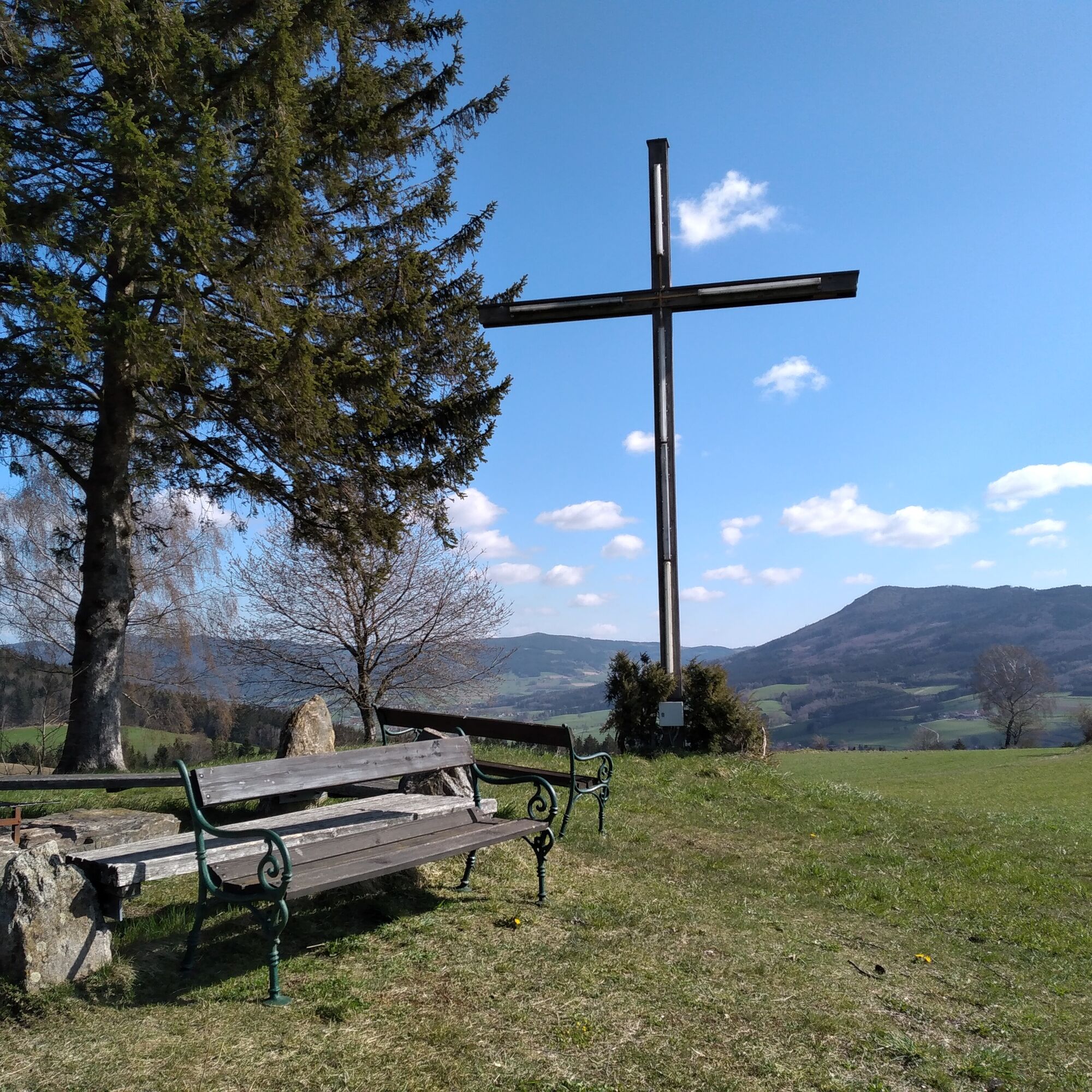
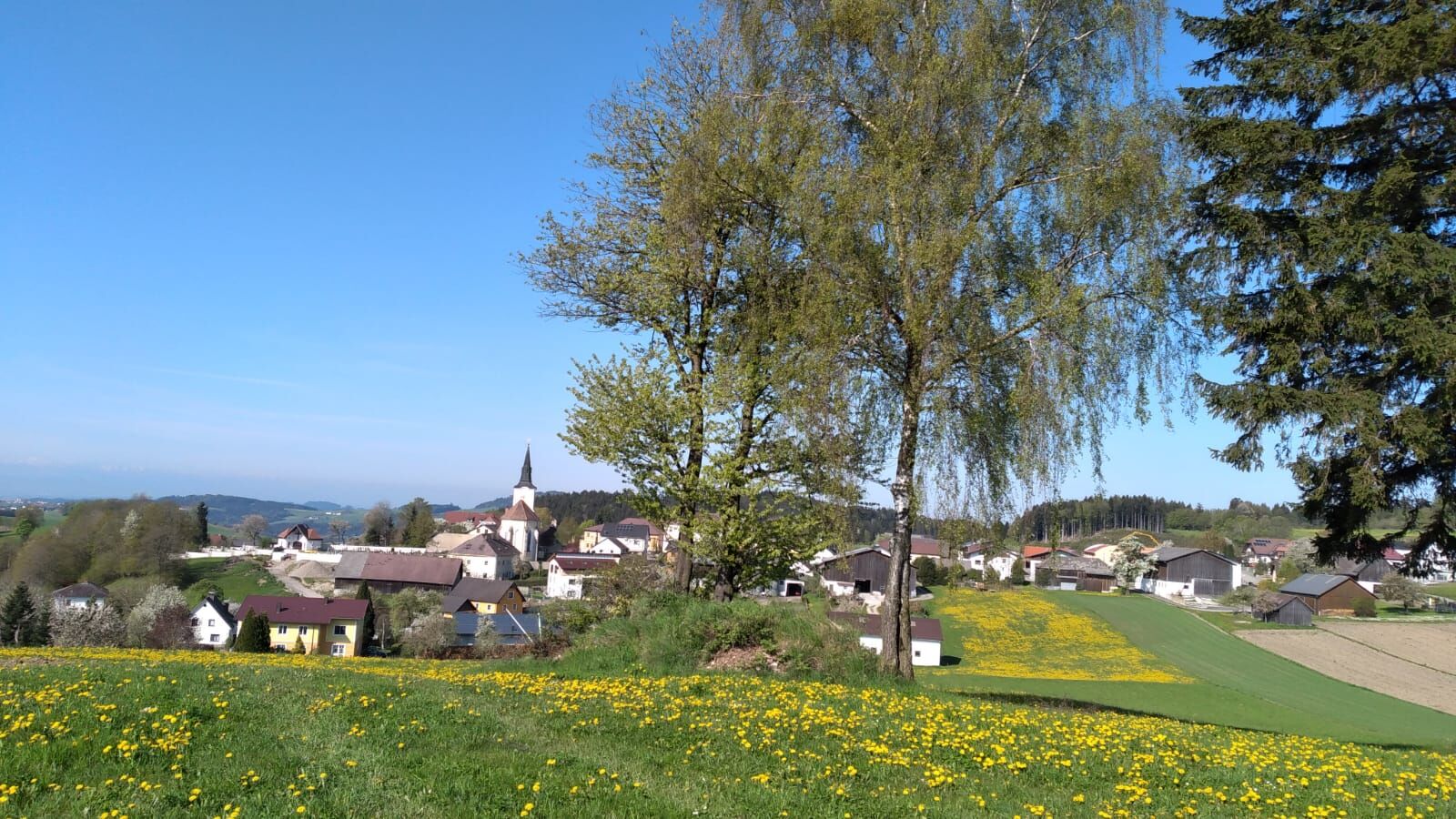
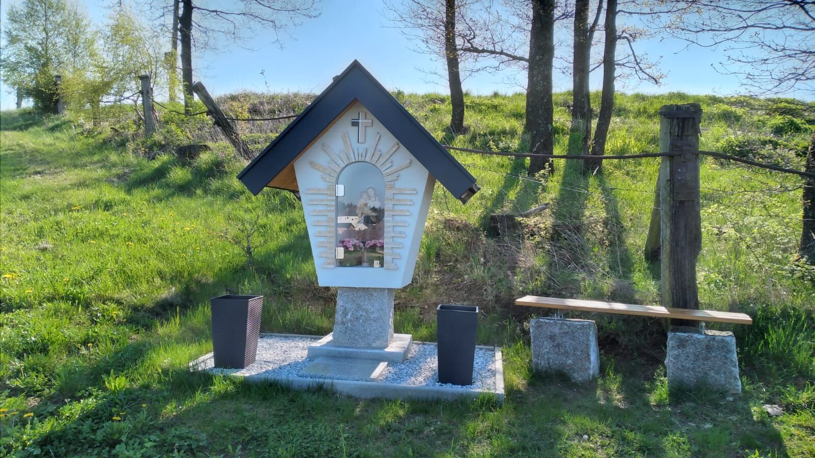
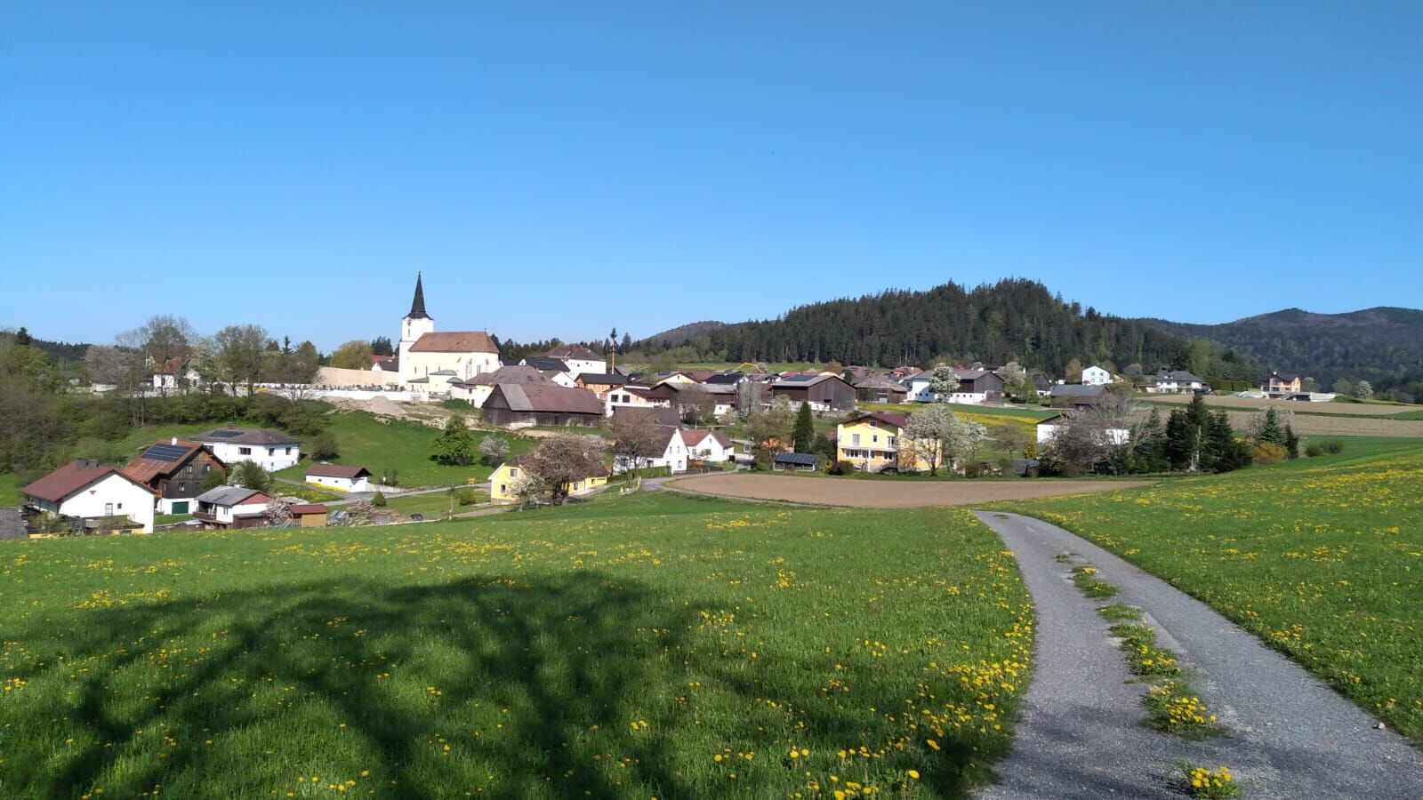
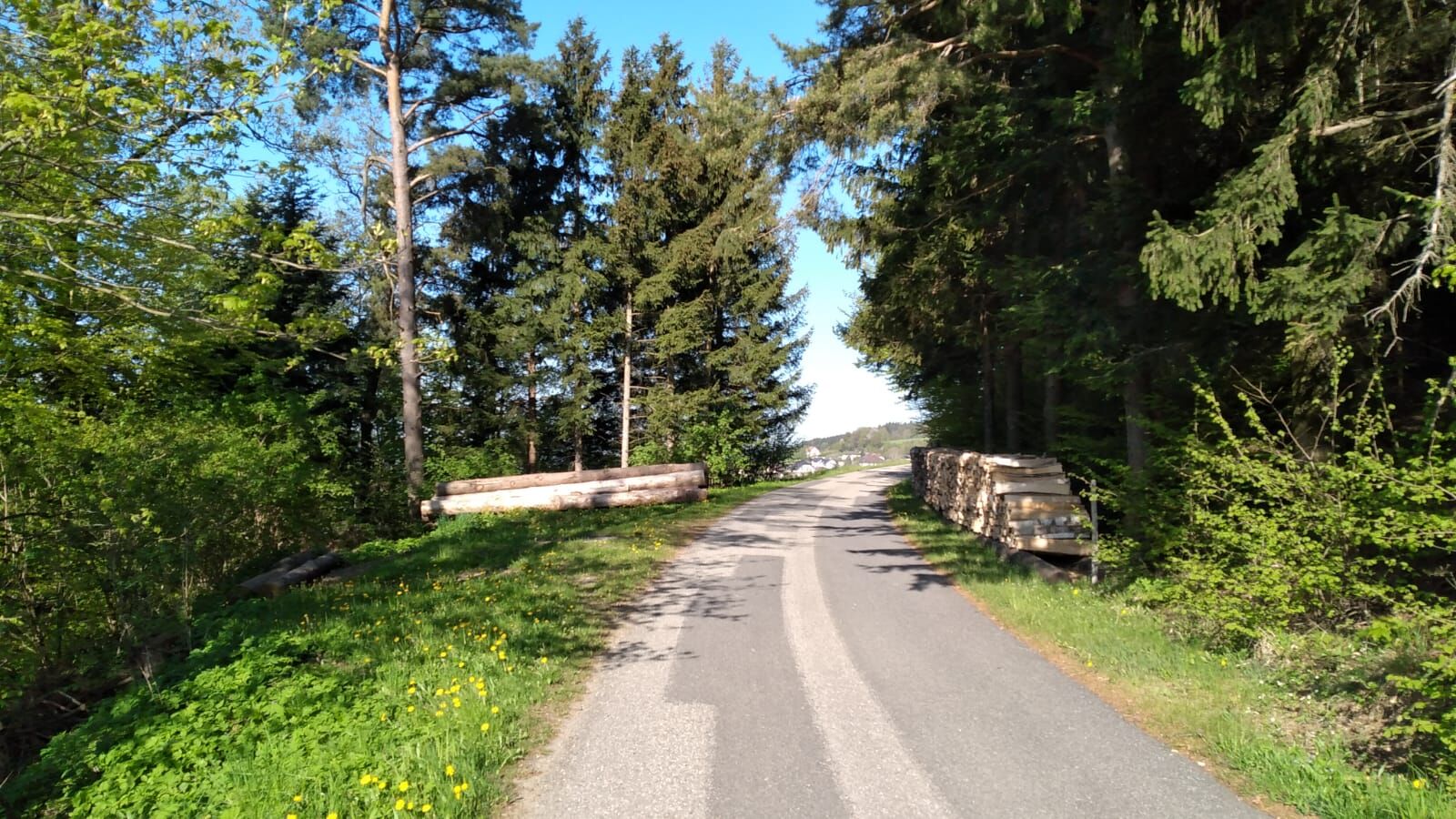
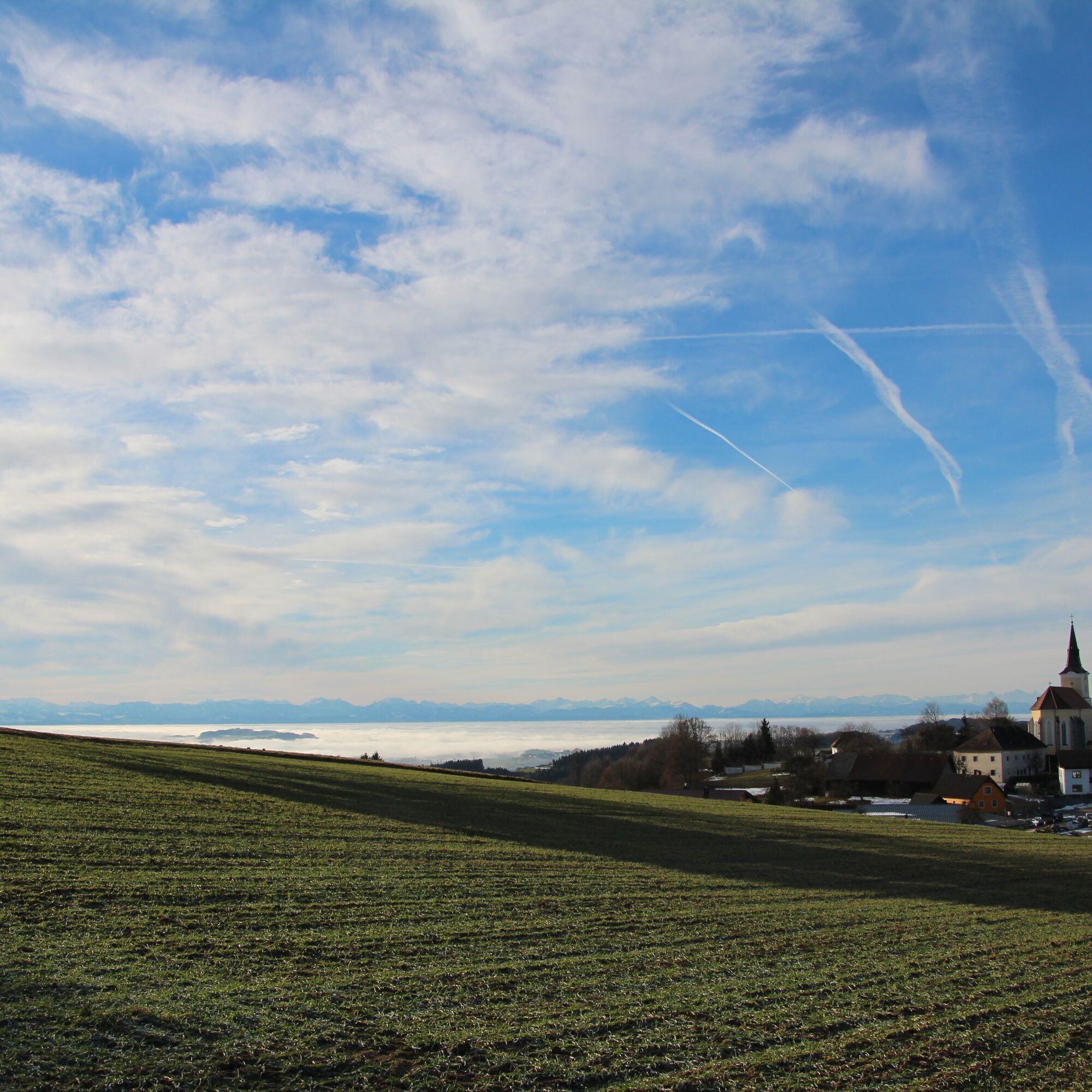
Starting from the church square via the Leiten road, you come to 2 memorial crosses with a magnificent panoramic view and a rest area. Hike to the left, at the next farm (Poidl-Leiten) turn left again, after about 80 m you leave the Bayerlweg and go left uphill. Through the forest, you reach the transmission mast, then continue right where you come to a newly built chapel with a beautiful view of the parish church St. Oswald. Continue until the farm and then right to the Peace Cross (rest area with magnificent panoramic view, illuminated at night). Return northwards to the starting point.
Access from the West Autobahn A1 via Ybbs an der Donau either via the B 36 through Yspertal to St. Oswald or via Ybbs along the Danube west of Ysperdorf, towards Yspertal via Fell to St. Oswald.
Free parking is possible in front of the elementary school or in front of the municipal yard. E-charging station at the “Leithenweg” parking lot is free for charging.
Municipality of St. Oswald
3684 St. Oswald, Untere Hauptstraße 3
(T) +43 7415 7291
(I) www.stoswald.com
(Webcam) http://www.stoswald.com/Aktuelles/Webcam
Tourism Association Ysper-Weitental
3683 Yspertal, Hauptstraße 9
(T) +43 7415 6767 25
(E) info.yw@waldviertel.at
(I) www.waldviertel.at
Waldviertel Tourism
3910 Zwettl, Sparkassenplatz 1/2/2
(T) +43 2822 54109
(E) info@waldviertel.at
(I) www.waldviertel.at
Popular tours in the neighbourhood
- 4,7
Druid Path - Ysperklamm, No. 31
mediumHiking8,31 km - 4,6
Waldhausen: Outlook circuit
mediumHiking14,0 km - 4,7
Ysperklamm mit Druidenweg
mediumHiking9,26 km - 4,6
Brandstetterkogel über Matras Steig
lightHiking6,28 km - 5,0
Stillensteinklamm, Grein
lightHiking10,4 km - 4,5
Ausgedehnte Peilsteinrunde
mediumHiking13,7 km - 5,0
Wilson Holz-Dreigipfelrunde Kaiserstein-Peilstein (1.061m)-Katzenstein
lightHiking13,3 km - 5,0
Herzsteinweg - St. Oswald
mediumThematic route9,49 km - 4,8
Ysperklamm
lightHiking3,92 km - 4,5
Stillsteinklamm - Aumühle - Retour
lightHiking9,05 km
Hiking & Tracking


Don't miss out on offers and inspiration for your next holiday
Your e-mail address has been added to the mailing list.