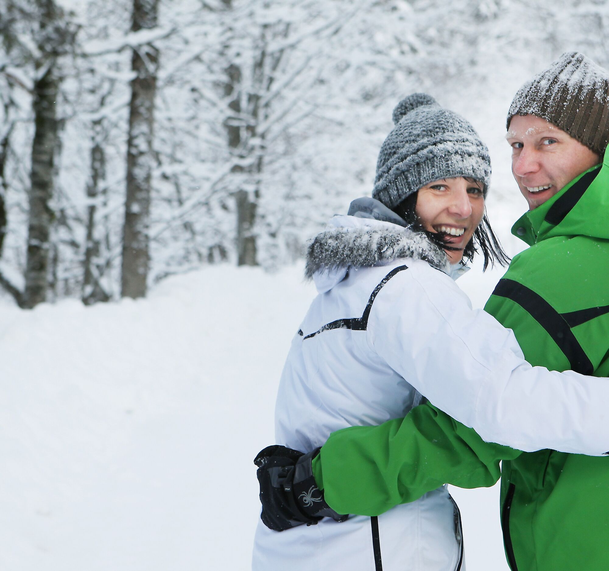
Schneeschuhstrecke Hochkar
medium
Navigate
Navigate
Get this tour on your mobile
Schneeschuhstrecke Hochkar
medium
Snowshoe
2.49
km
Scan the QR code and start navigation in the bergfex app

Hiking & Tracking


Distance
2.49
km
Duration
00:45
h
Ascent
238
m
Sea level
1,404 -
1,568
m
Track download
Schneeschuhstrecke Hochkar
medium
Snowshoe
2.49
km


Zunächst entlang der Loipe, später in freiem Gelände bis zum Bergsee am Hochkar, etwas abseits aber nicht weit von den Skipisten.
Author
Provided by Mostviertel
The tour Schneeschuhstrecke Hochkar is provided by outdooractive.com.

Equipment
Schneeschuhe, Verleih im JoSchi-Sporthaus
Arrival information
Arrival
B25 Bundesstraße ab Göstling bis Lassing. Danach 9km Alpenstraße, max. 15%
Public transport
VOR-Buslinie auf das Hochkar
Parking
gebührenpflichtiger Parkplatz 4 Hochkar Skigebiet (EUR 10,00.-)
Additional information & tips
Additional information
Tourismus-IG Ybbstaler Alpen
Göstling 46/2, 3345 Göstling an der Ybbs
43-5-93049
Tips
Leihen Sie sich bei JoSchi auch Langlaufski und probieren Sie die gesündeste Wintersport selbst aus.
No reviews yet
Popular tours in the neighbourhood
-
4.8
Lechner Graben - Ybbstaler Hütte
mediumHiking 14.2 km -
4.9
Kurzeck- Siebenhütten- Turnhöhe- Kitzhütte Göstling an der Ybbs, Österreich
lightHiking 12.8 km -
5.0
Wasserlochklamm-Palfau
mediumHiking 3.48 km -
4.0
Hochkarrunde Lassing, Niederösterreich
lightHiking 9.33 km -
5.0
Die Riegerin (1939 m) aus dem Brunntal
heavyHiking 15.5 km -
5.0
Route through the Erlebniswelt Mendlingtal
lightThematic route 3.27 km -
4.2
Stumpfmauer - Voralpe
mediumHiking 10.5 km -
4.7
2-Tages Tour: Lunzer See - Dürrenstein - Ybbstalerhütte - Lunzer See (Tag 1/2)
mediumHiking 19.1 km -
4.0
zum Noten über Lechnergräben,Ybbstalerhütte und zurück durch den Höllgraben
mediumHiking 17.5 km -
4.0
Hochkar und Mendlingklamm-Teil 1
mediumHiking 4 km
Hiking & Tracking

Over 550.000 tour suggestions, detailed maps and an intuitive route planner make the app a must-have for all nature enthusiasts.

Don't miss out on offers and inspiration for your next holiday
Subscribe to the newsletter
Error
An error has occurred. Please try again.
Thank you for your registration
Your e-mail address has been added to the mailing list.
Tours throughout Europe
Austria
Switzerland
Germany
Italy
Slovenia
France
Netherlands
Belgium
Poland
Liechtenstein
Czechia
Slovakia
Spain
Croatia
Bosnia and Herzegovina
Luxembourg
Andorra
Portugal
Iceland
United Kingdom
Ireland
Greece
Albania
North Macedonia
Malta
Norway
Montenegro
Moldova
Kosovo
Hungary
San Marino
Romania
Estonia
Latvia
Belarus
Cyprus
Lithuania
Serbia
Bulgaria
Monaco
Denmark
Sweden
Finland