Tour data
4km
1,373
- 1,808m
66hm
392hm
02:00h
- Brief description
-
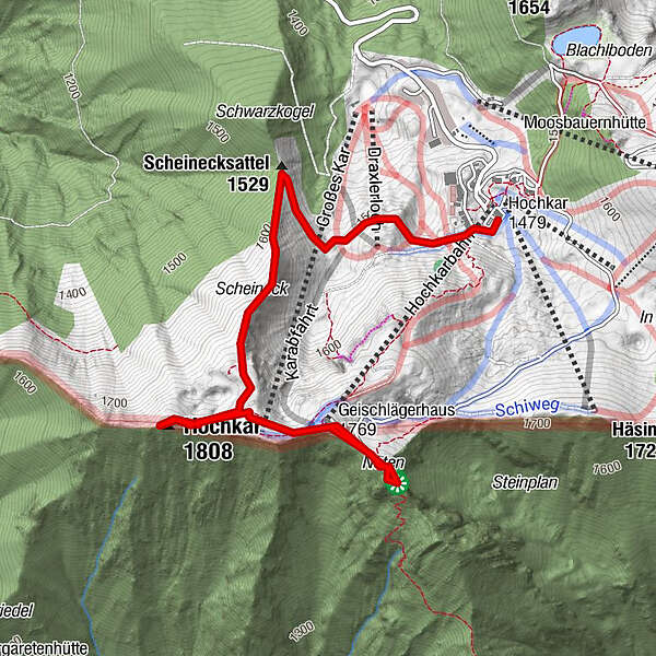
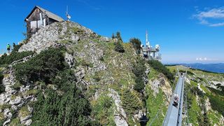
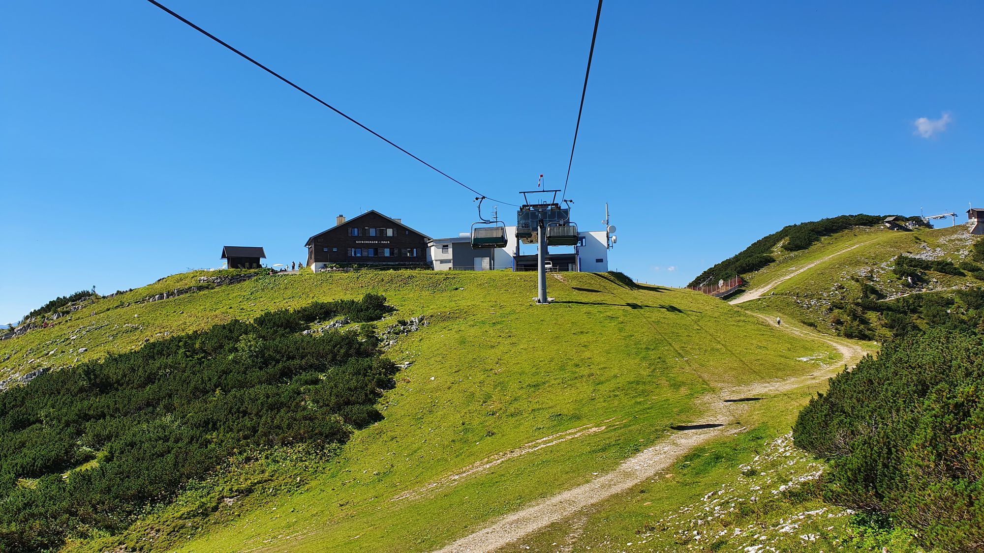
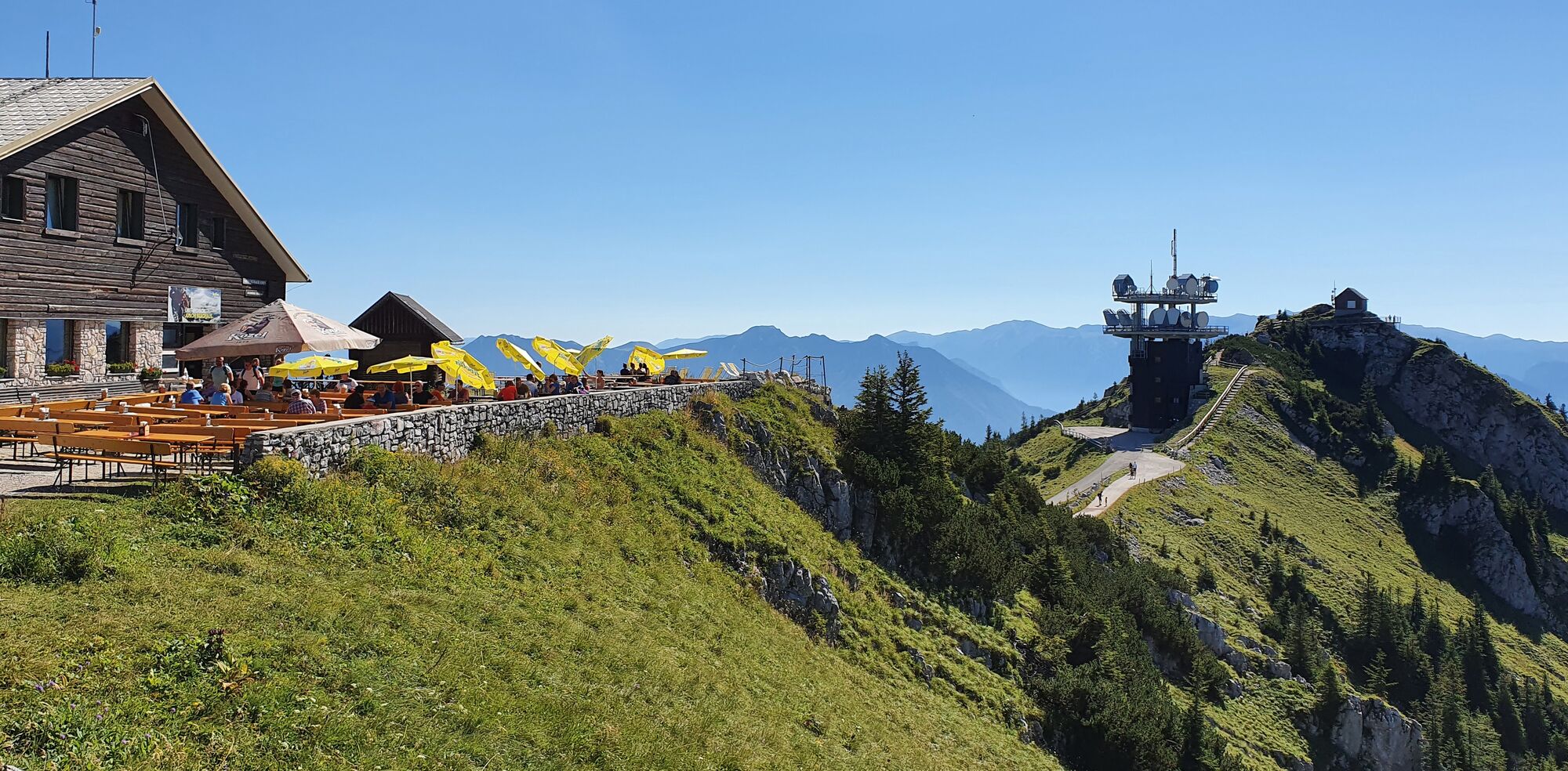
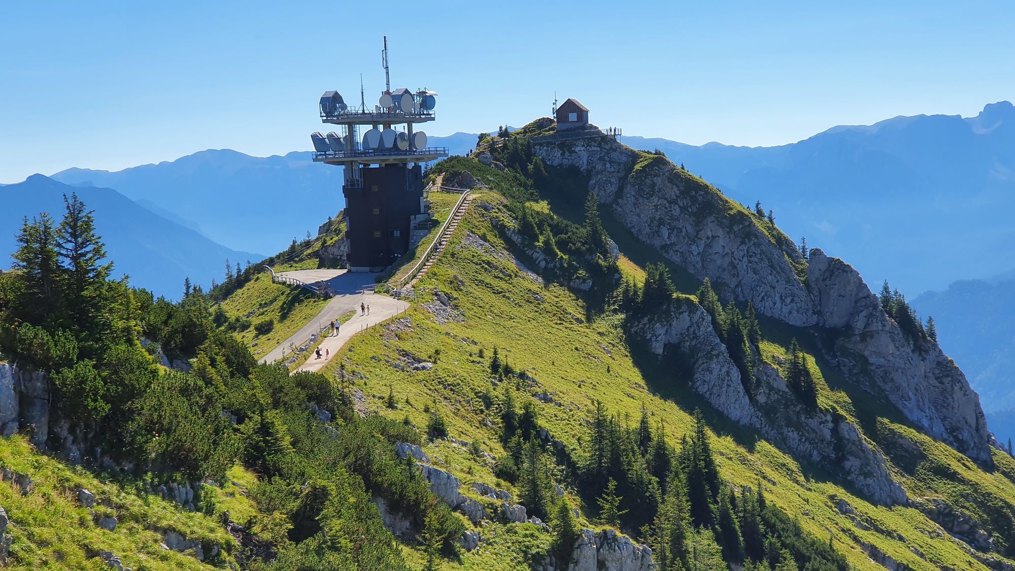
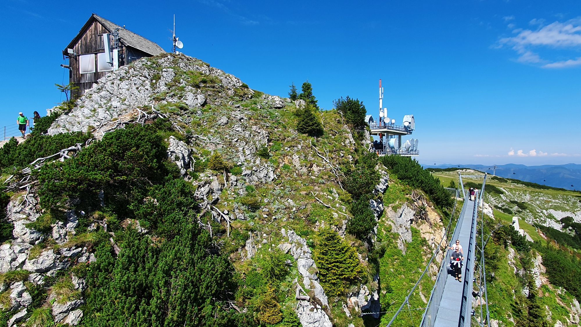
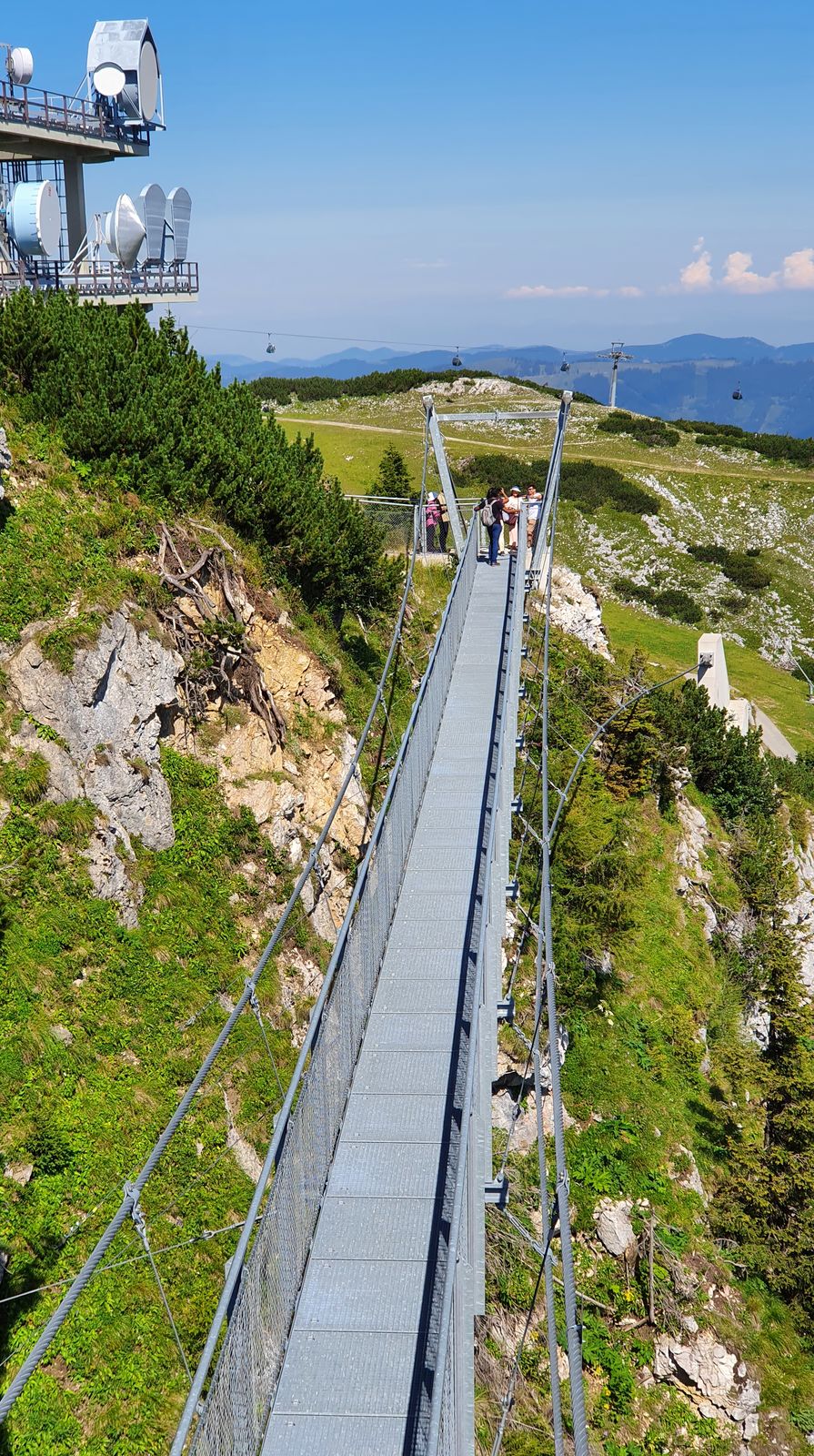
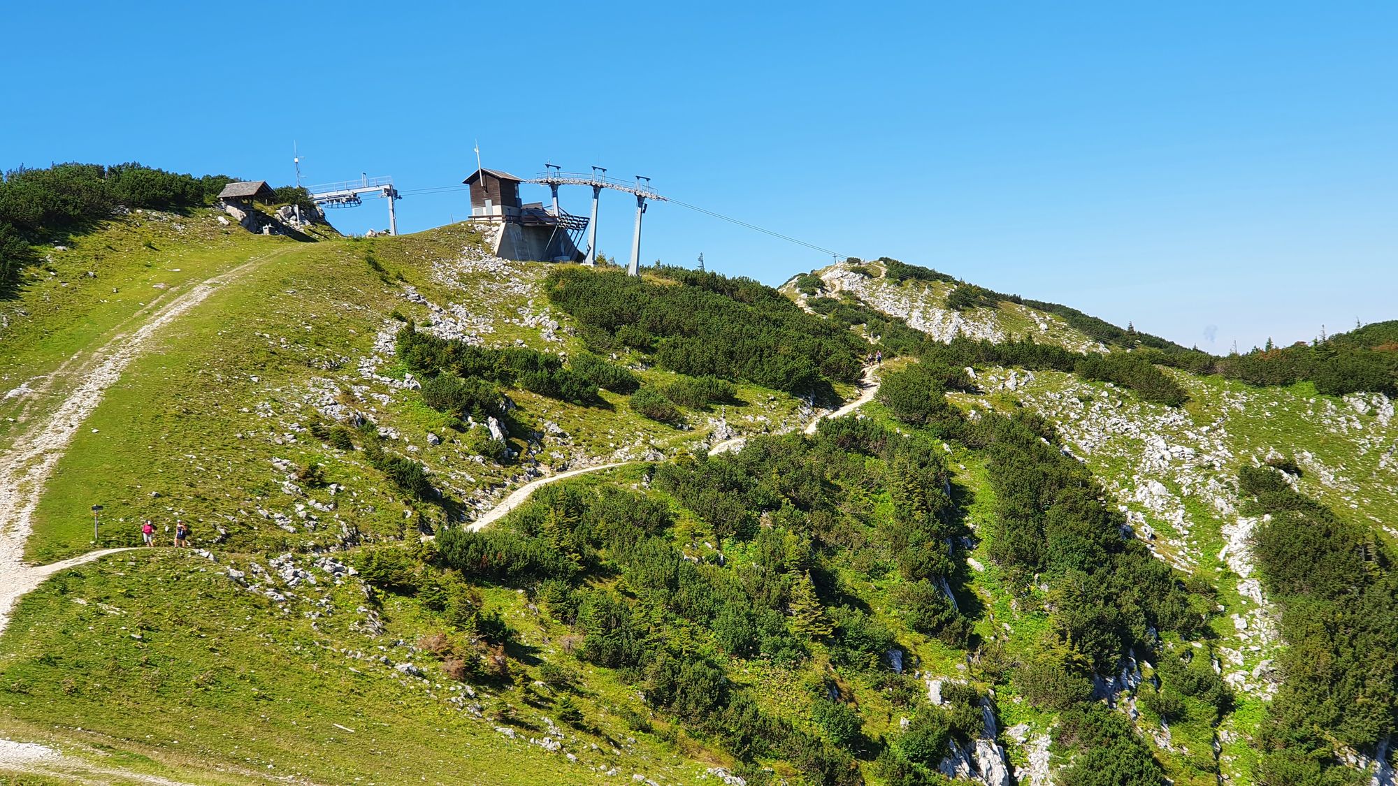
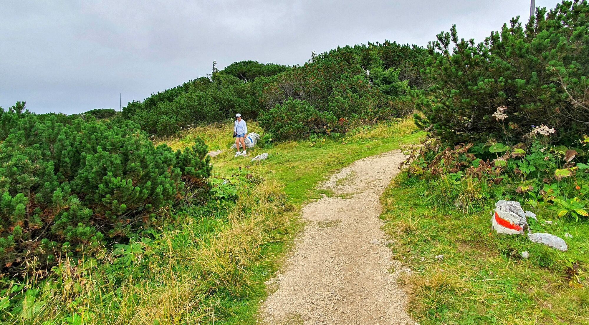
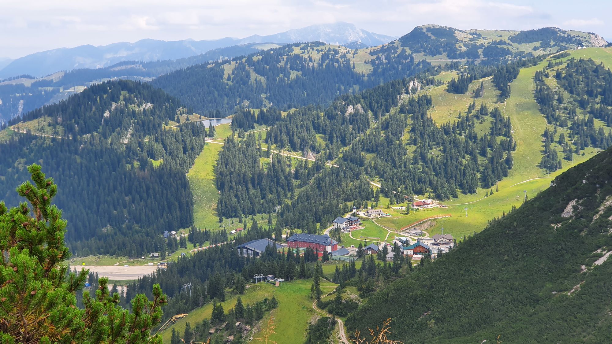
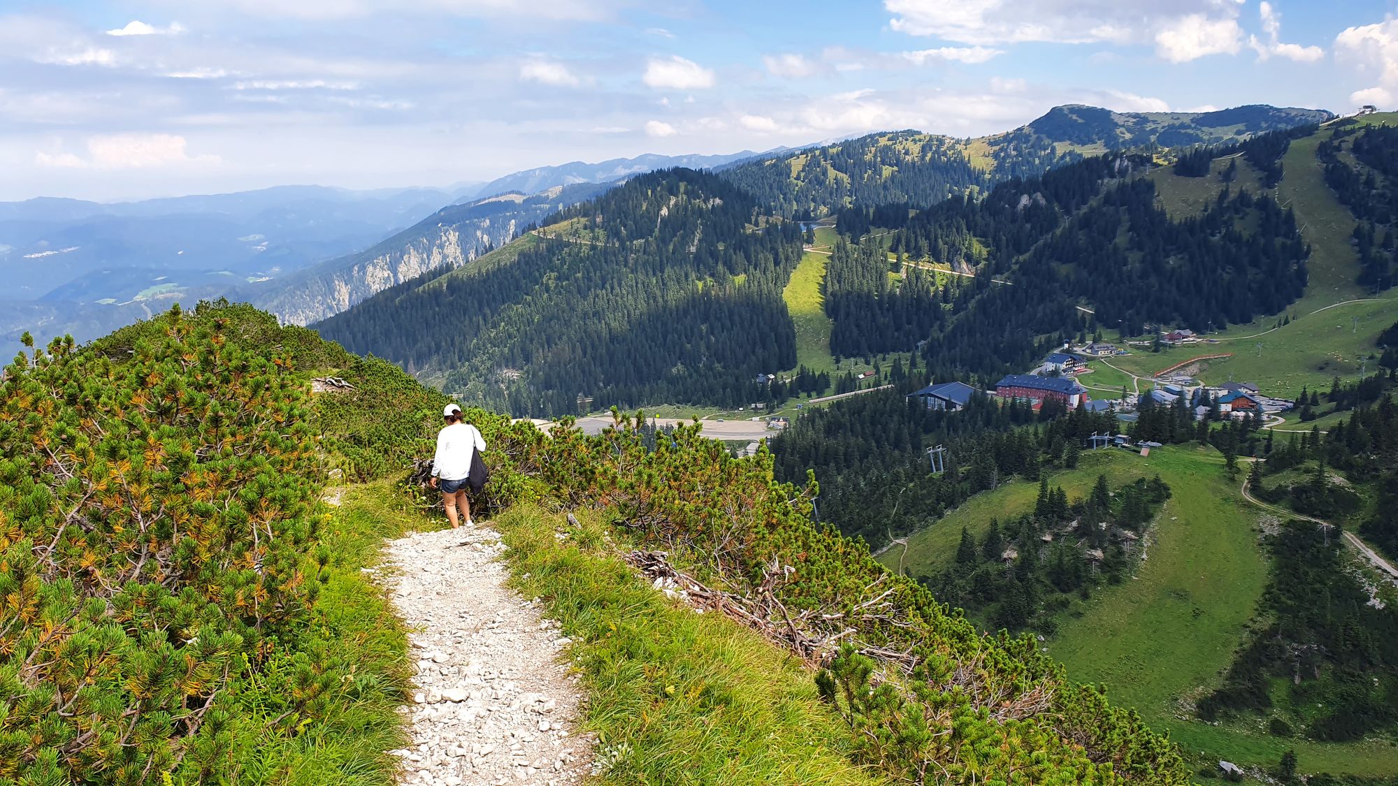
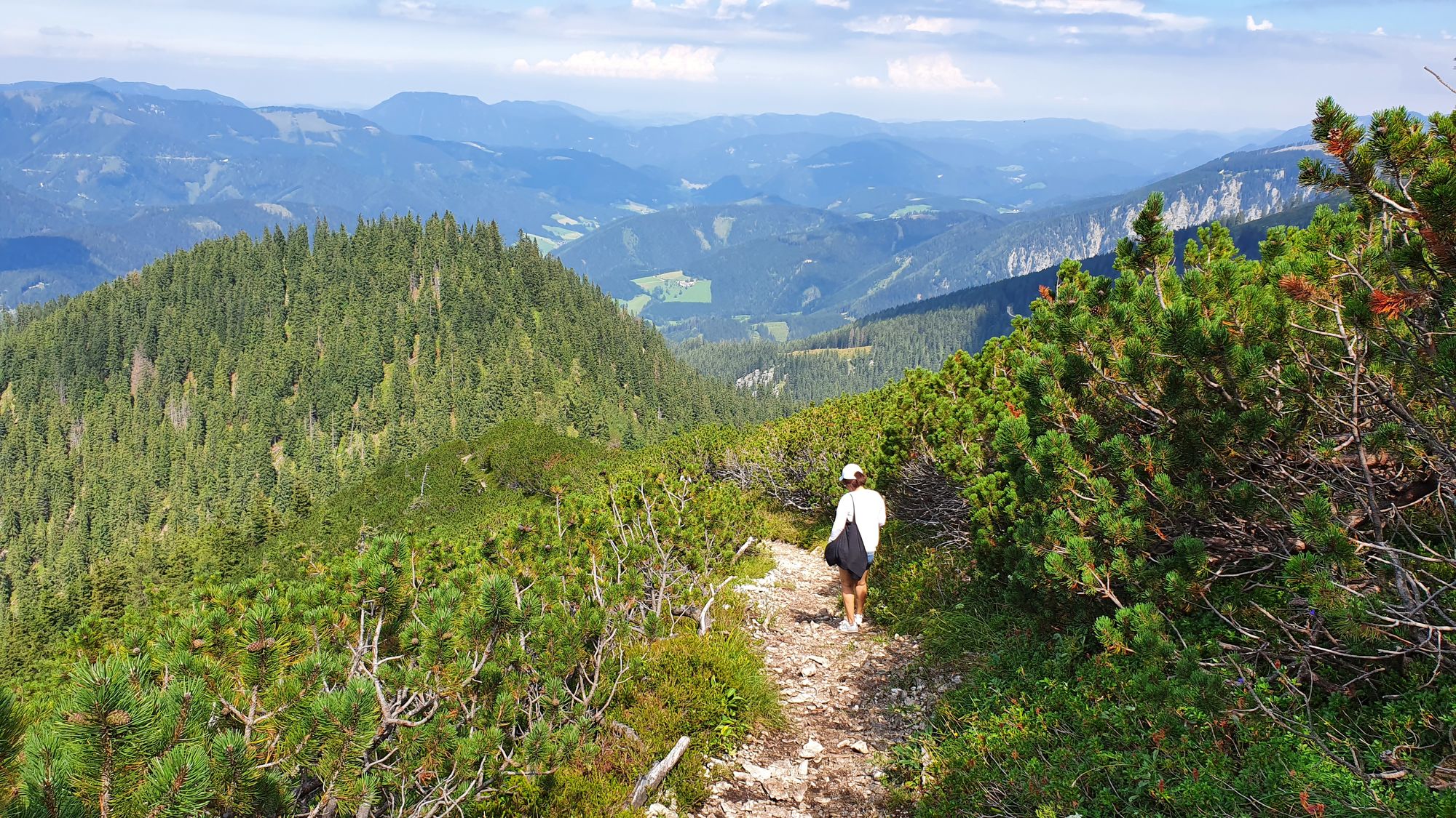
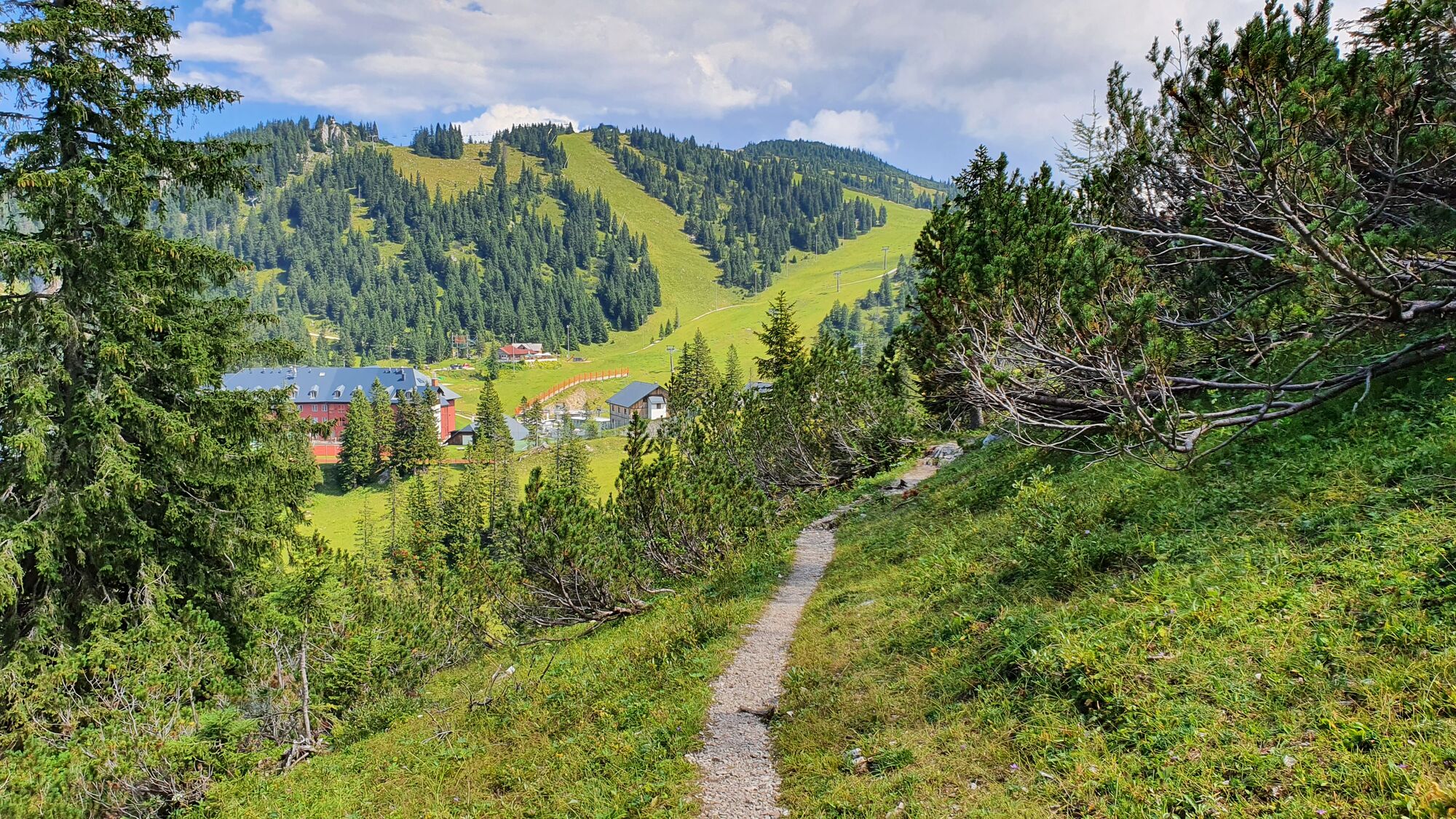
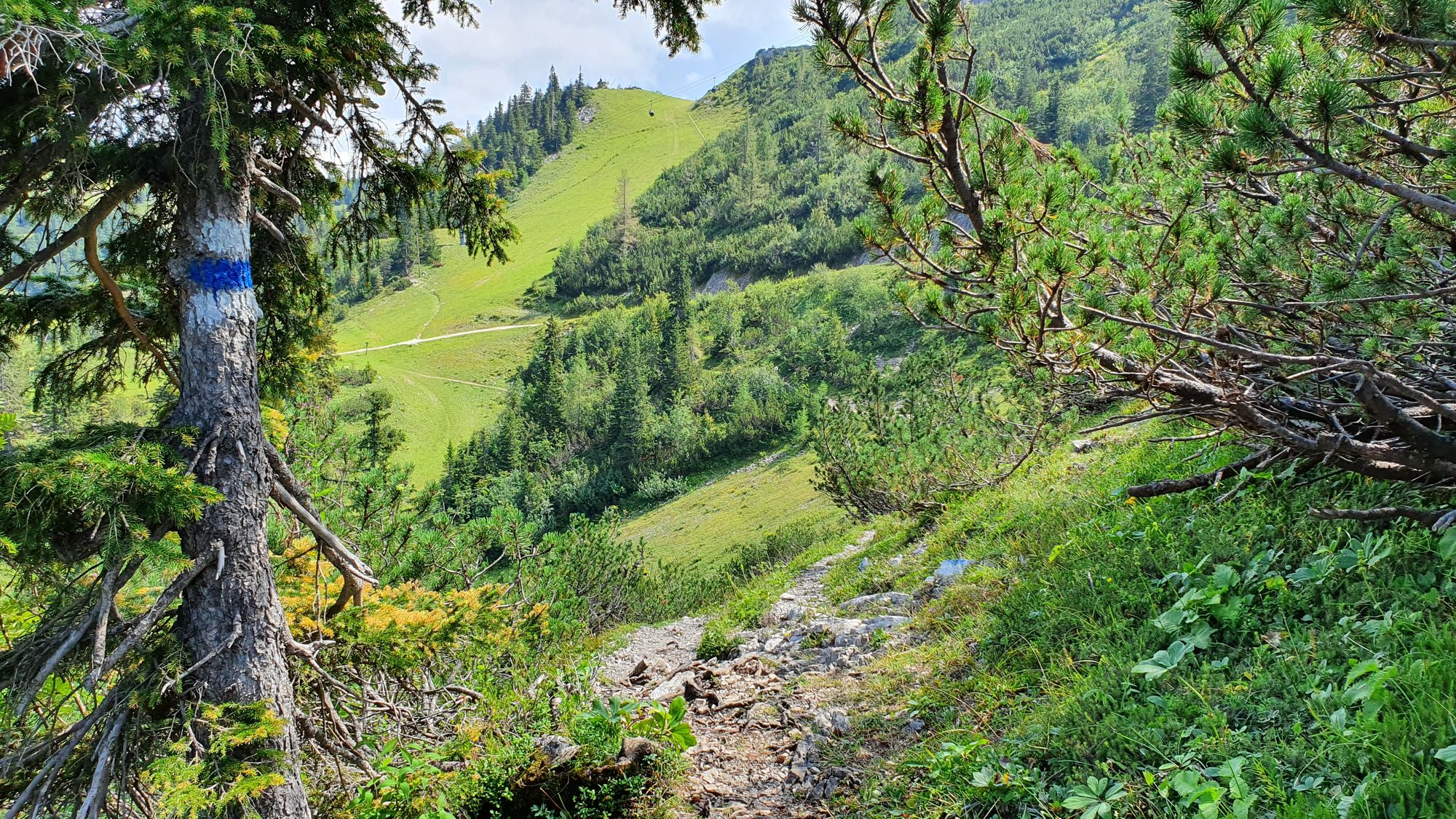
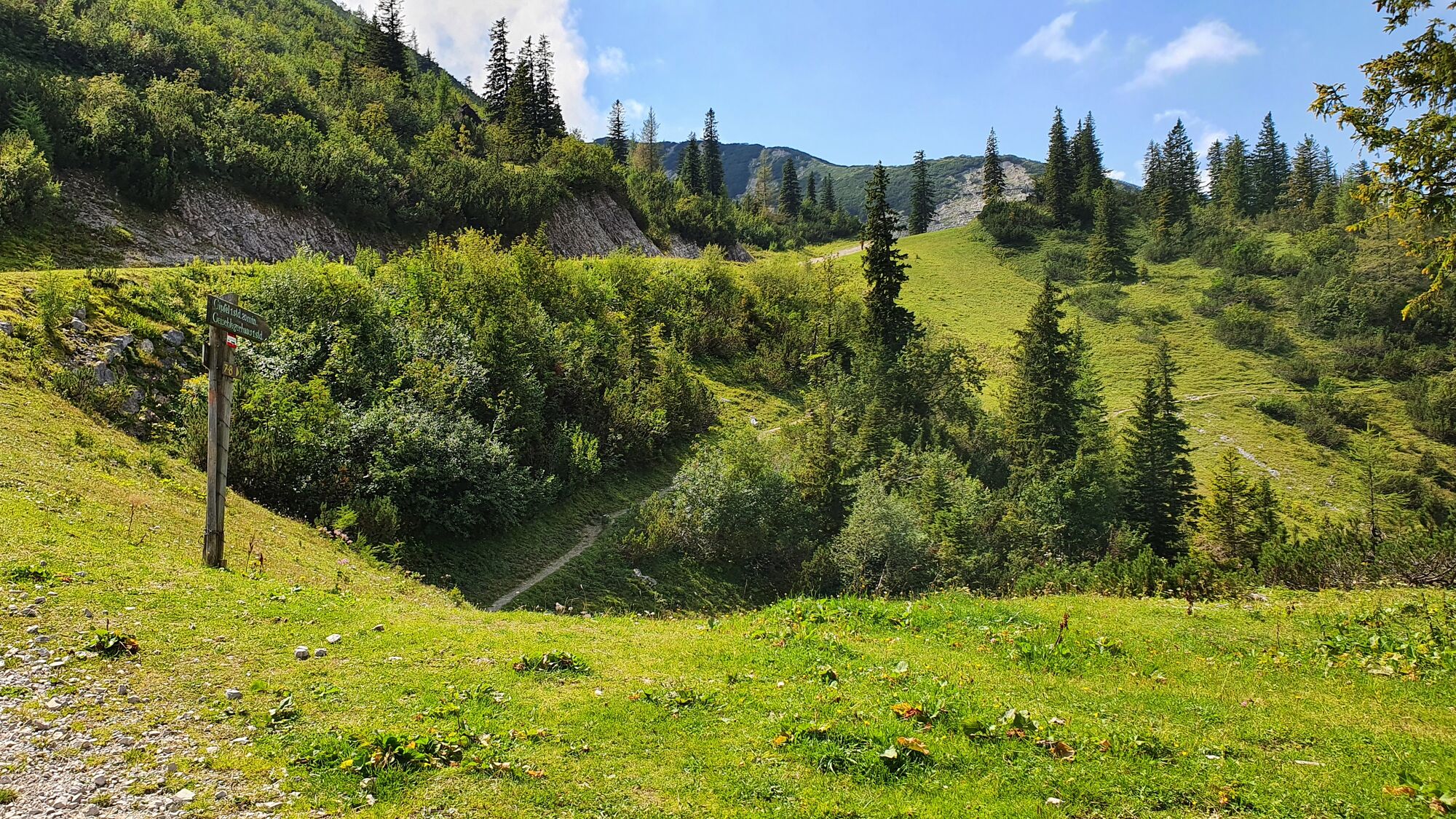
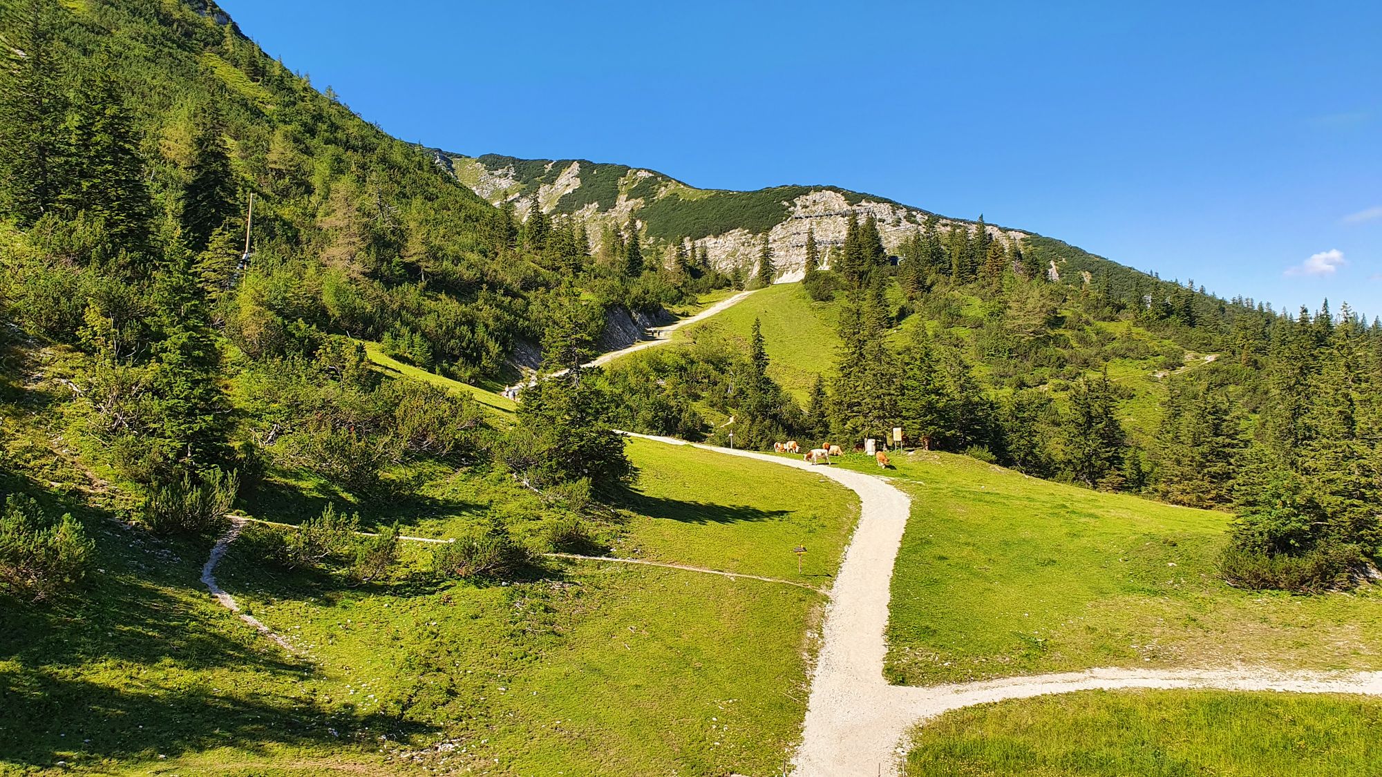
Wanderung zum Skywalk, Hauptgipfel des Hochkars und Abstieg über Scheineck zum Parkplatz der Hochkarstraße.
- Difficulty
-
medium
- Rating
-
- Starting point
-
Ende der Hochkarstraße
- Route
-
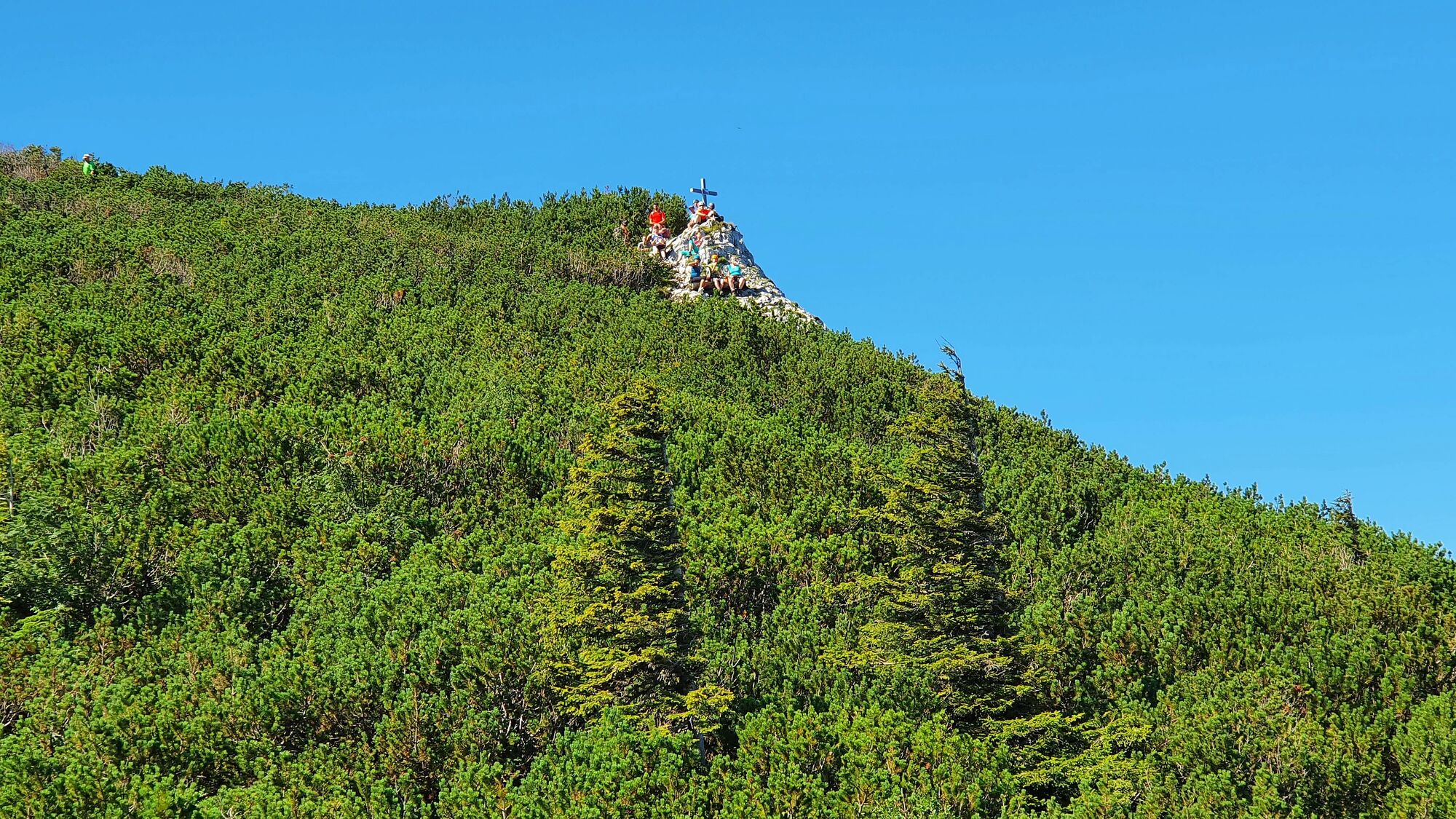
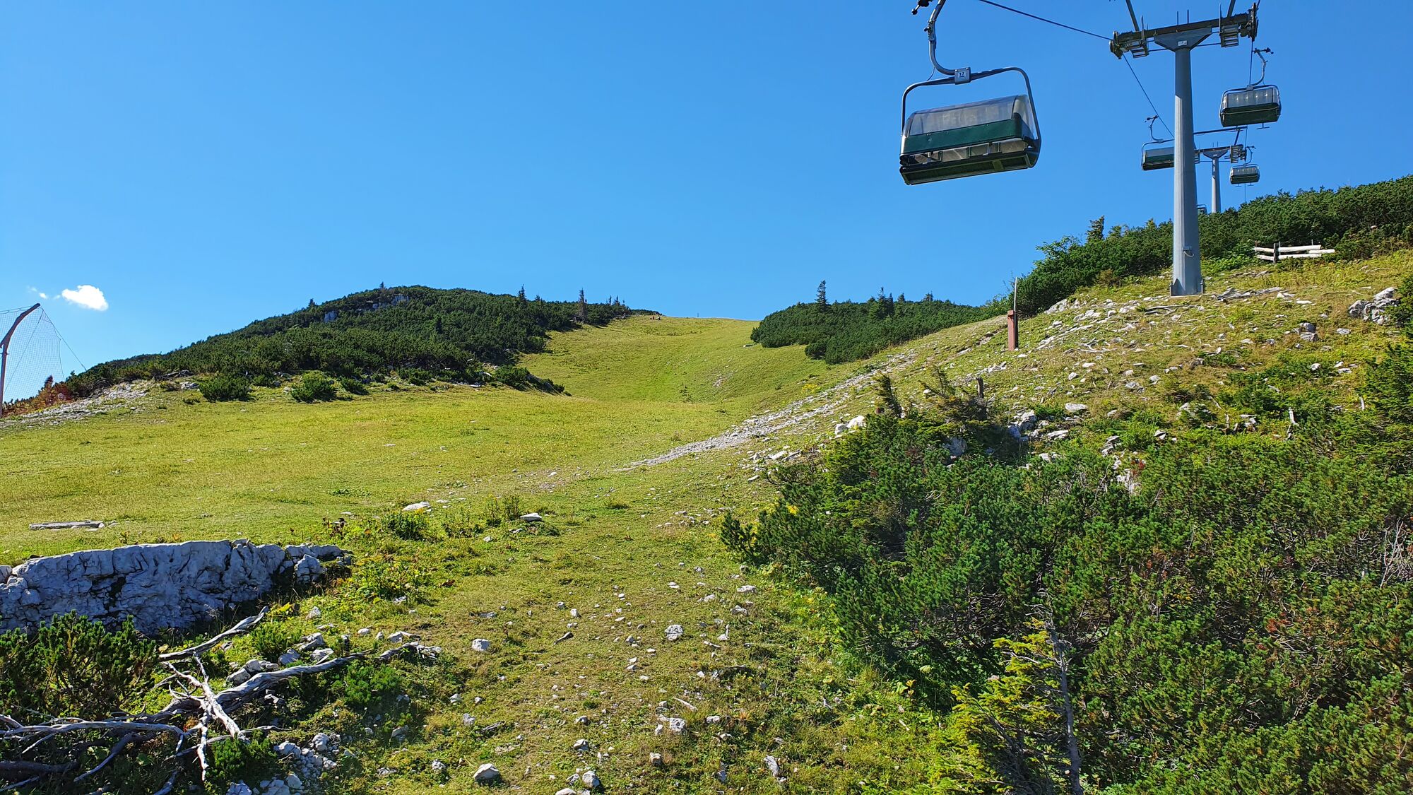
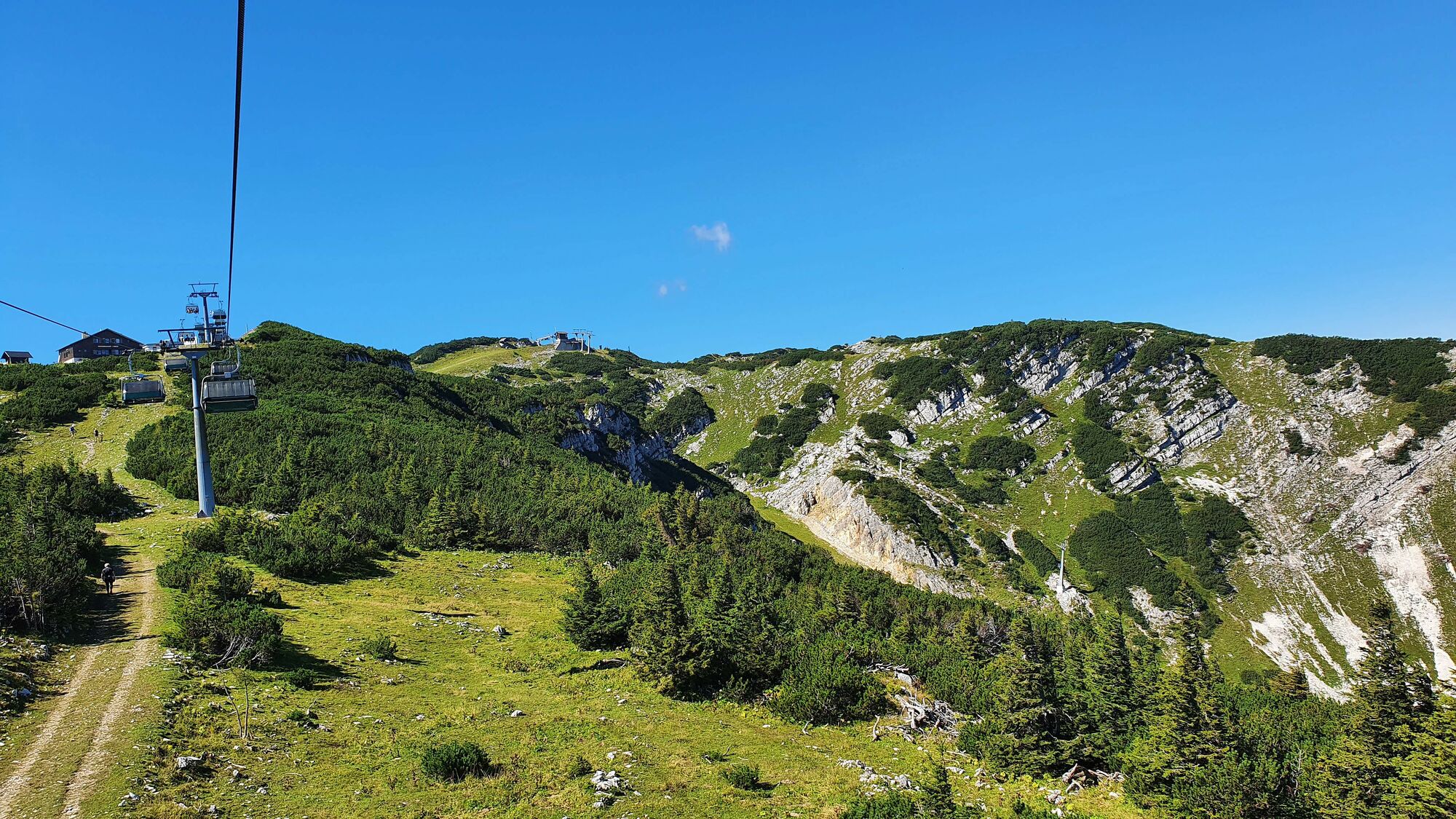
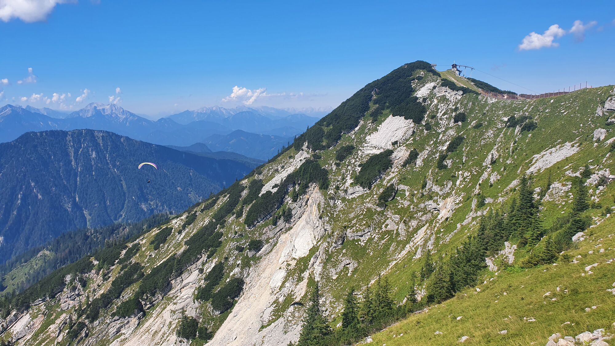
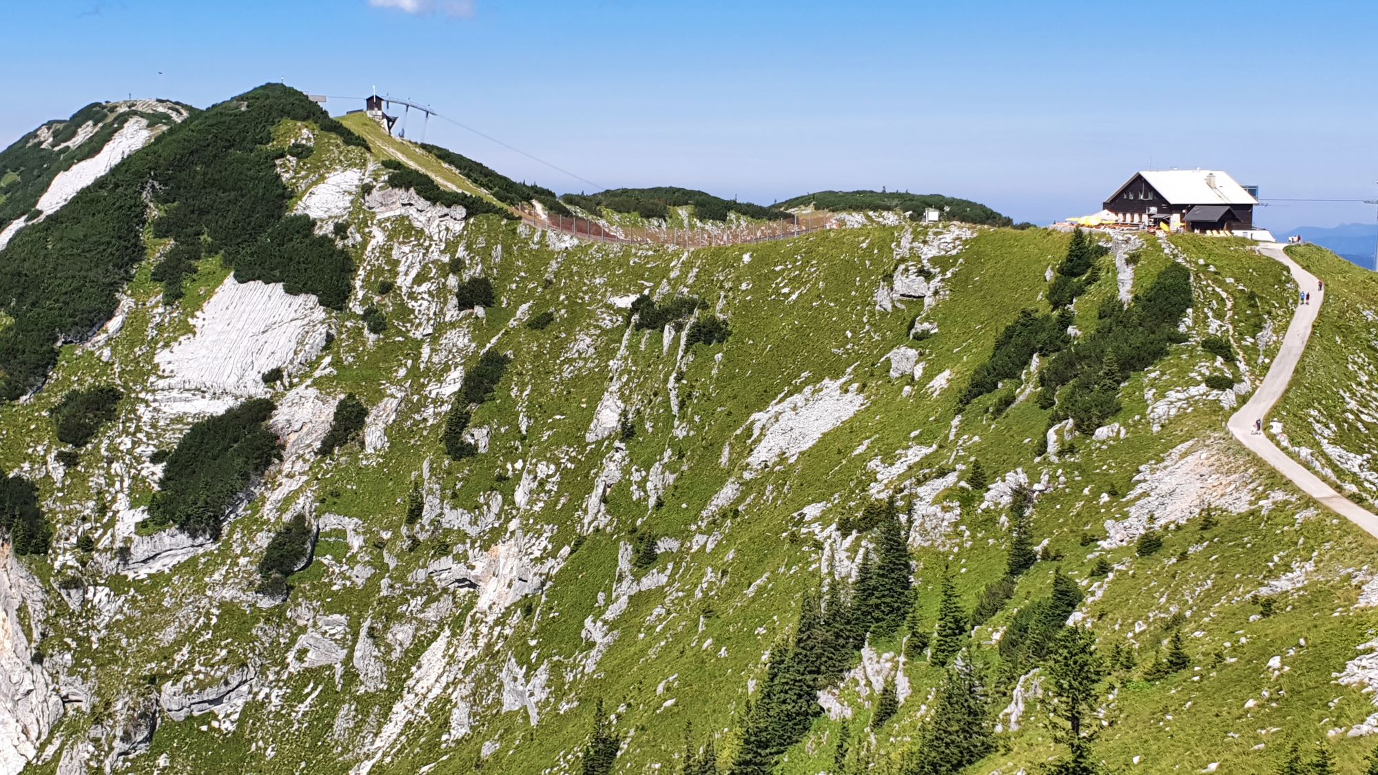
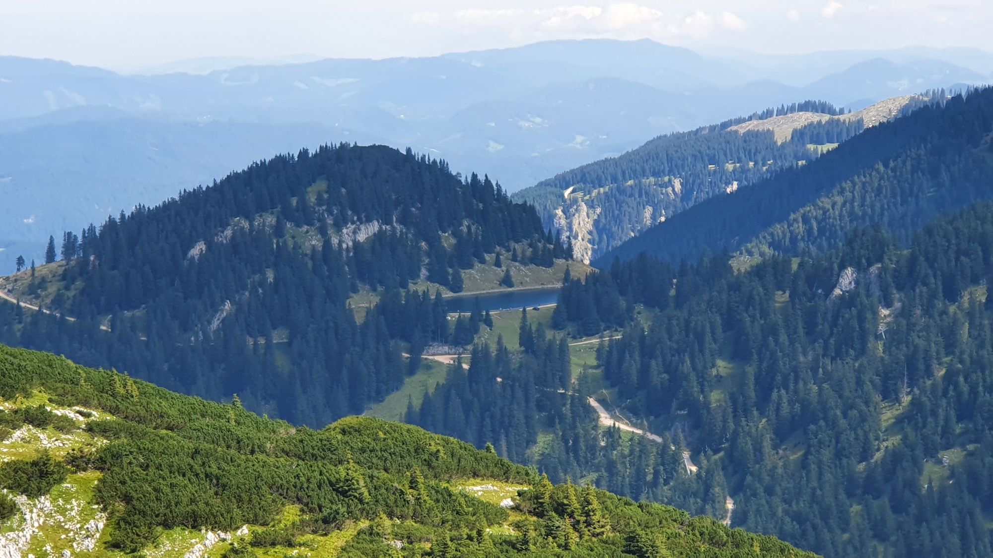
Noten (1,780 m)0.4 kmGeischlägerhaus0.7 kmHochkar (1,808 m)1.4 kmRieglerschacht1.5 kmScheinecksattel (1,530 m)2.7 km
- Highest point
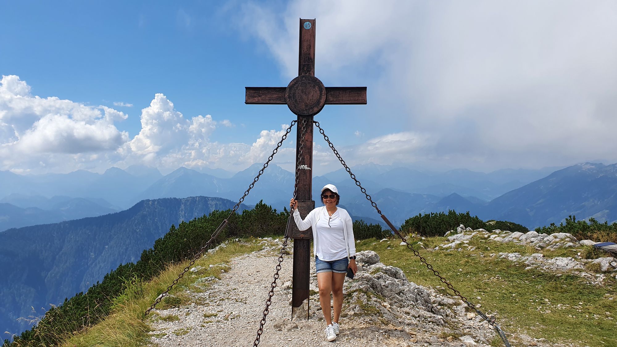
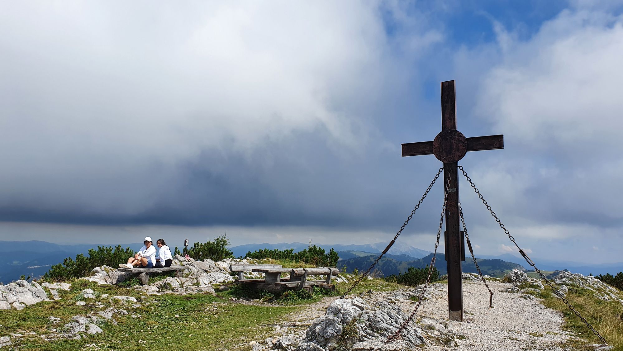
- Hochkar-Hauptgipfel (1,808 m)
- Endpoint
-
Hochkar Hauptgipfel
- Rest/Retreat
-
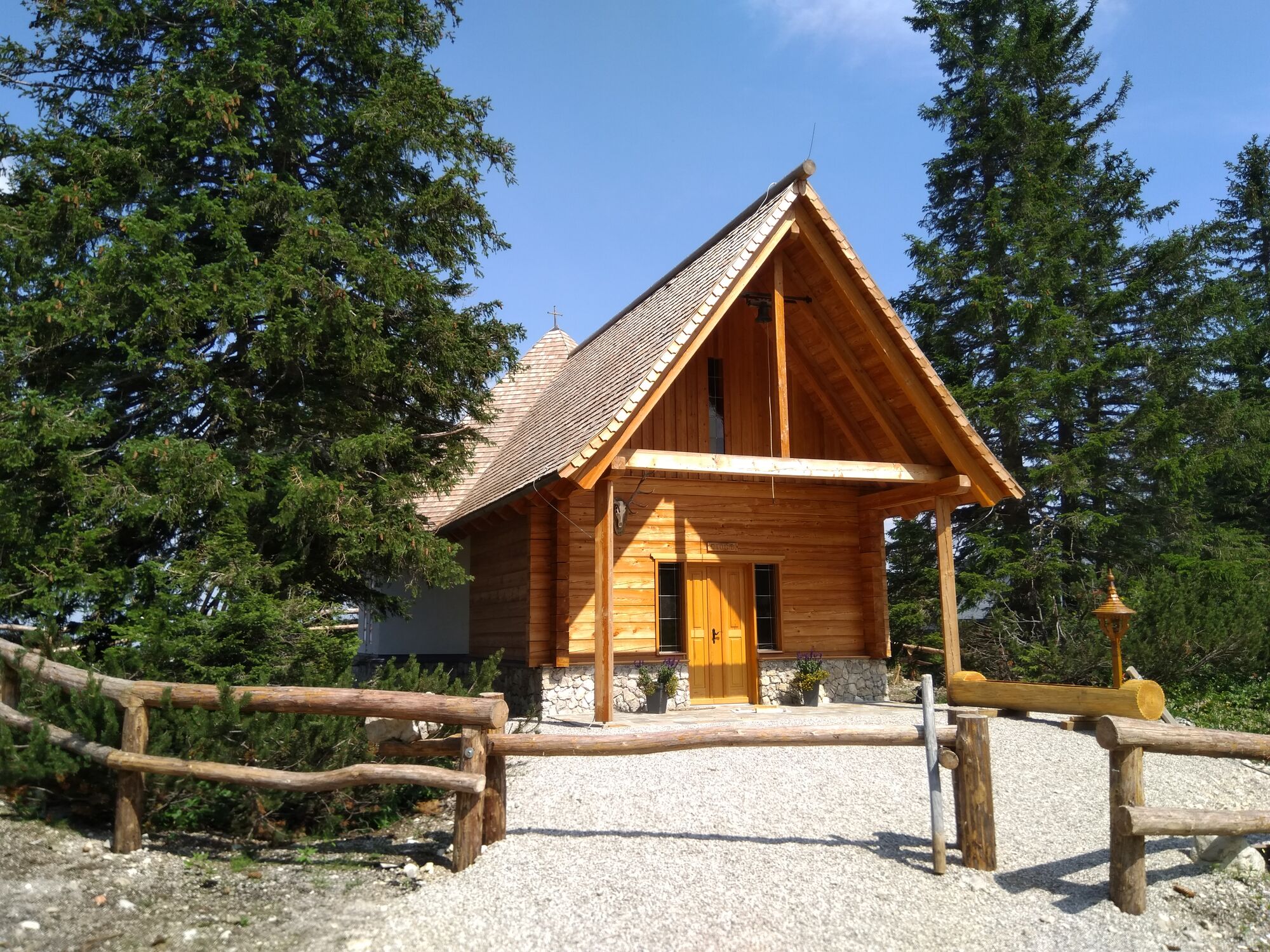
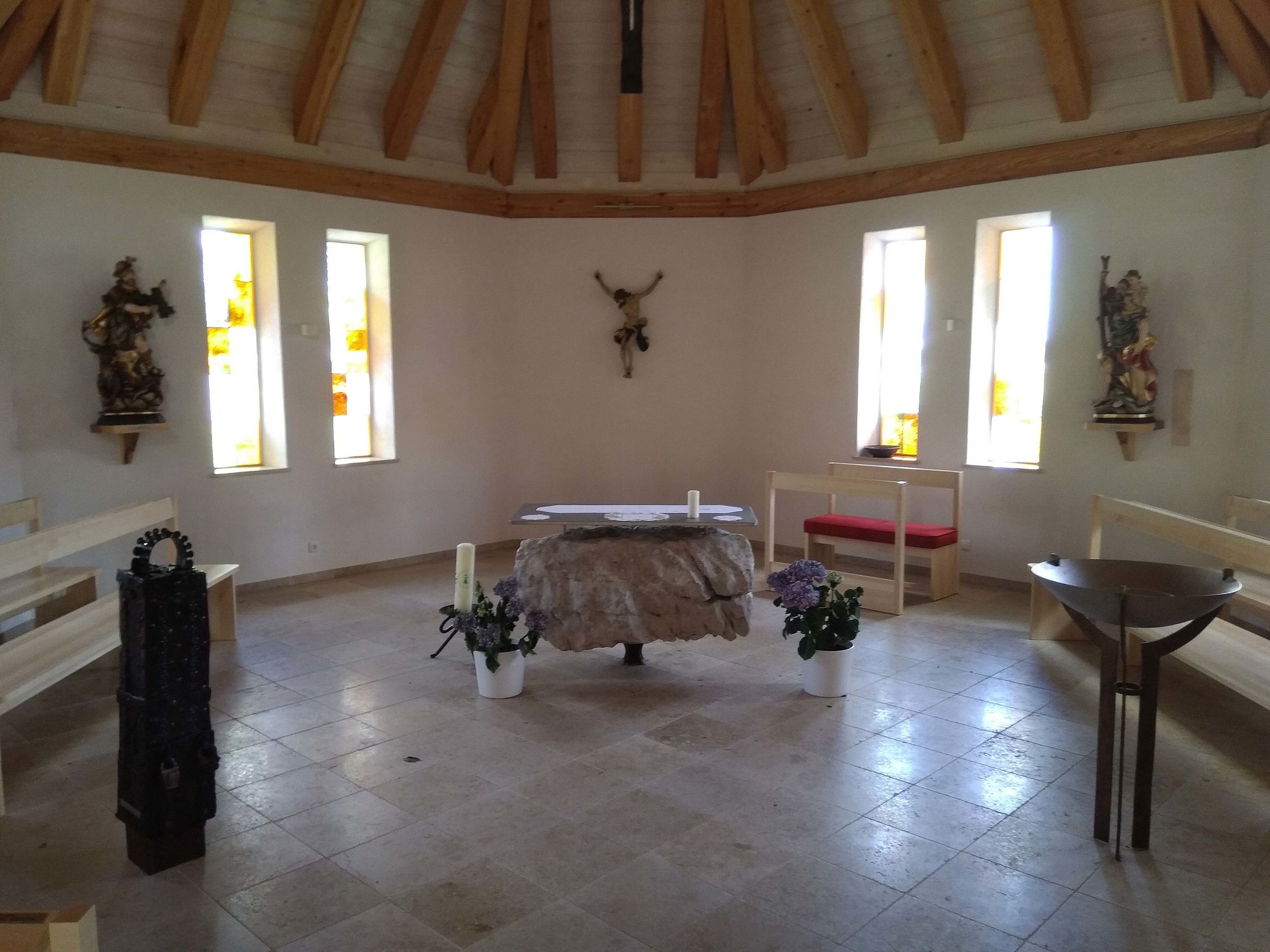
Joschi Berghaus 1770m
- Videos
-
 03:473 years ago
GPS Downloads


Trail conditions
Asphalt
Gravel
Meadow
Forest
Rock
Exposed
Other tours in the regions
-
Erzberg Leoben
2530
-
Hochschwab
1272
-
Hochkar
223