


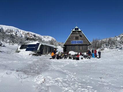
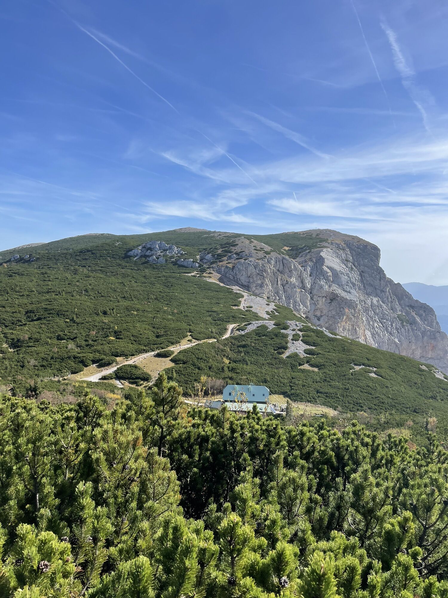
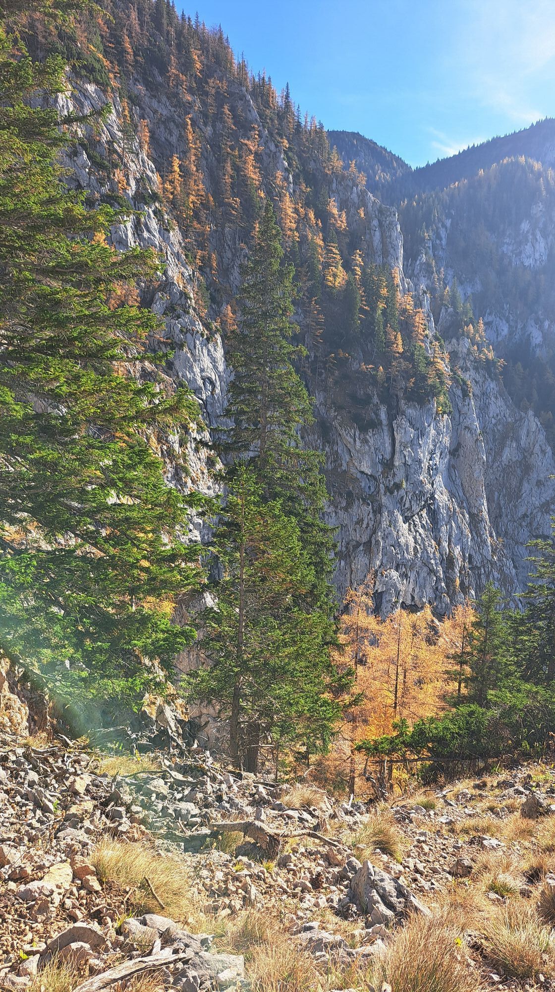
Photos from our users
 © Jakob KCreated on 29.01.2023
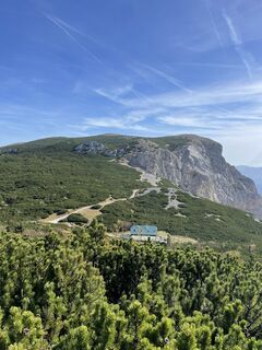
 © Markus LoosCreated on 08.10.2022
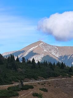
 © Britta BürgerCreated on 01.11.2025
 © monika pomahac 1Created on 31.10.2025
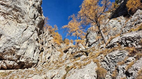 © monika pomahac 1Created on 31.10.2025
 © monika pomahac 1Created on 31.10.2025
 © monika pomahac 1Created on 31.10.2025
 © monika pomahac 1Created on 31.10.2025
 © monika pomahac 1Created on 31.10.2025
 © monika pomahac 1Created on 31.10.2025
 © monika pomahac 1Created on 31.10.2025
 © monika pomahac 1Created on 31.10.2025
 © MimiCreated on 22.10.2025
 © MimiCreated on 22.10.2025
 © MimiCreated on 22.10.2025
 © MimiCreated on 22.10.2025
 © Joe WranaCreated on 14.10.2025
 © GerhardAhoCreated on 10.10.2025
 © Matheo KrauleCreated on 04.10.2025
 © Maurer SaschaCreated on 27.09.2025
 © Maurer SaschaCreated on 27.09.2025
 © Maurer SaschaCreated on 27.09.2025
 © Maurer SaschaCreated on 27.09.2025
 © Klaus BotschenCreated on 21.09.2025
 © Klaus BotschenCreated on 21.09.2025
 © Klaus BotschenCreated on 21.09.2025
 © Klaus BotschenCreated on 21.09.2025
 © Klaus BotschenCreated on 21.09.2025
 © Klaus BotschenCreated on 21.09.2025
 © Christina FröhlichCreated on 21.09.2025
 © Christina FröhlichCreated on 21.09.2025
 © Christina FröhlichCreated on 21.09.2025
 © Christina FröhlichCreated on 21.09.2025
 © Christina FröhlichCreated on 21.09.2025
 © Chris EckCreated on 15.09.2025
 © Eva HenkCreated on 09.09.2025
 © Eva HenkCreated on 09.09.2025
 © Gerhard LindnerCreated on 27.08.2025
 © Olena DuriaginaCreated on 24.08.2025
 © jbluemelCreated on 17.08.2025
 © jbluemelCreated on 17.08.2025
 © jbluemelCreated on 17.08.2025
 © jbluemelCreated on 17.08.2025
 © jbluemelCreated on 17.08.2025
 © jbluemelCreated on 17.08.2025
 © jbluemelCreated on 17.08.2025
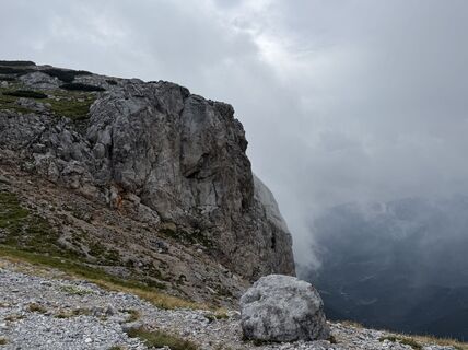
 © Sabine KarnerCreated on 17.08.2025
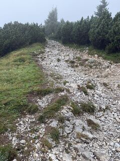 © Sabine KarnerCreated on 17.08.2025


Route: Weichtalhaus (569 m) – Großes Höllental / Wachthüttelkamm oder Teufelsbadstubensteig oder Alpenvereinssteig – Ottohaus (1644 m) – Seeweg (oder über Jakobskogel und Preiner Wand) – Neue Seehütte (Klettertour Preiner Wand-Platte) – Trinksteinsattel – (über Carl-Ludwig-Haus auf die Heukuppe, 2007 m) – Habsburghaus.
Variante Wasserleitungsweg und Törlweg: Weichtalhaus – Kaiserbrunn – Wasserleitungsweg – Hirschwang (Rax-Seilbahn, Info Tel. +43 2666/2497) – Knappenberg – Törlweg – Ottohaus.
Habsburghaus (Österr. Gebirgsverein, bewirtschaftet von 1. Mai – 31. Oktober, Hüttentelefon +43 2665/219).
Zusätzliche Stützpunkte (mit Nächtigungsmöglichkeit):
Ottohaus (Österr. Touristenklub, ganzjährig bewirtschaftet von Anfang Mai – Ende November, Hüttentelefon +43 2666 52402).
Carl-Ludwig-Haus (Österr. Touristenklub, ganzjährig bewirtschaftet, Hüttentelefon +43 2665 380).
Popular tours in the neighbourhood
- 4,4
Familienwanderung auf die Schneealm im Naturpark Mürzer Oberland
lightHiking9,86 km - 4,8
Circular hike in Payerbach via anniversary viewpoint and Sched chapel
mediumHiking8,84 km - 4,9
"Schneealpe" - "Windberg 1903m" Rundkurs
mediumHiking14,3 km - 4,7
Raxplateau Runde 12km
mediumHiking11,3 km - 4,7
Krummbachstein Dez 20
mediumHiking15,7 km - 4,7
Gsohlhirnsteig - Ottohaus - Törmweg (Rundwanderung)
mediumHiking11,0 km - 4,6
Krummbachstein Rundwanderung, NÖ
mediumHiking15,2 km - 4,4
Höllental Gr. Höllental AV Steig Ottohaus Wachhüttelkamm ret. 09.06.2017
heavyHiking10,6 km - 4,7
Rax Preiner Gscheid / Waxriegel / Waxriegelhaus / Göbl-Kühn-Steig / Seehütte
mediumHiking9,62 km - 4,4
Hochschneeberg/Klosterwappen plateau hike
mediumHiking7,27 km
Hiking & Tracking


Don't miss out on offers and inspiration for your next holiday
Your e-mail address has been added to the mailing list.