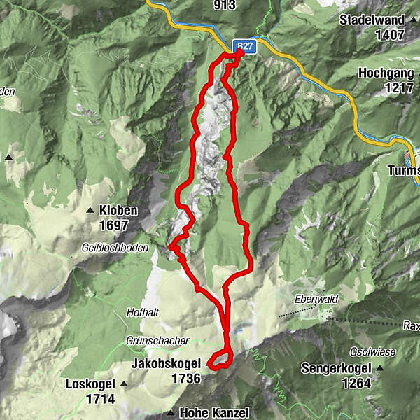
Höllental Gr. Höllental AV Steig Ottohaus Wachhüttelkamm ret. 09.06.2017

Hiking

© hel

© hel

© hel

© hel

© hel

© hel

© hel

© hel

© hel

© hel
Tour data
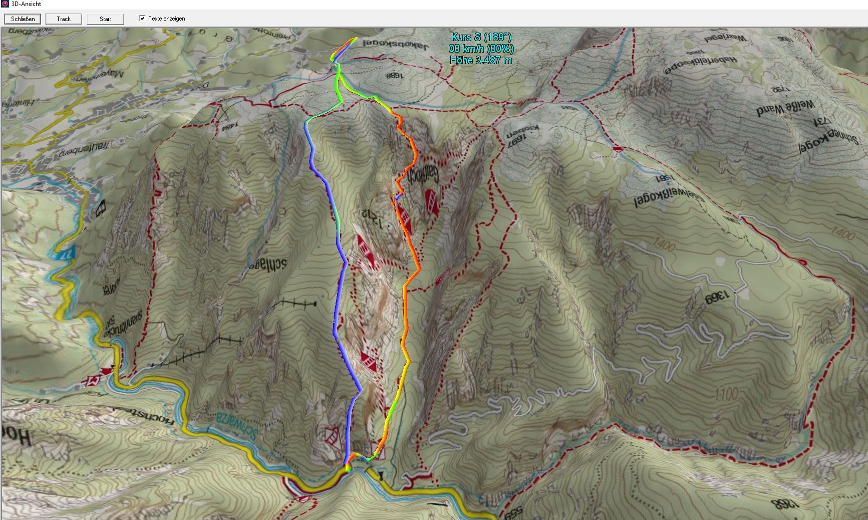
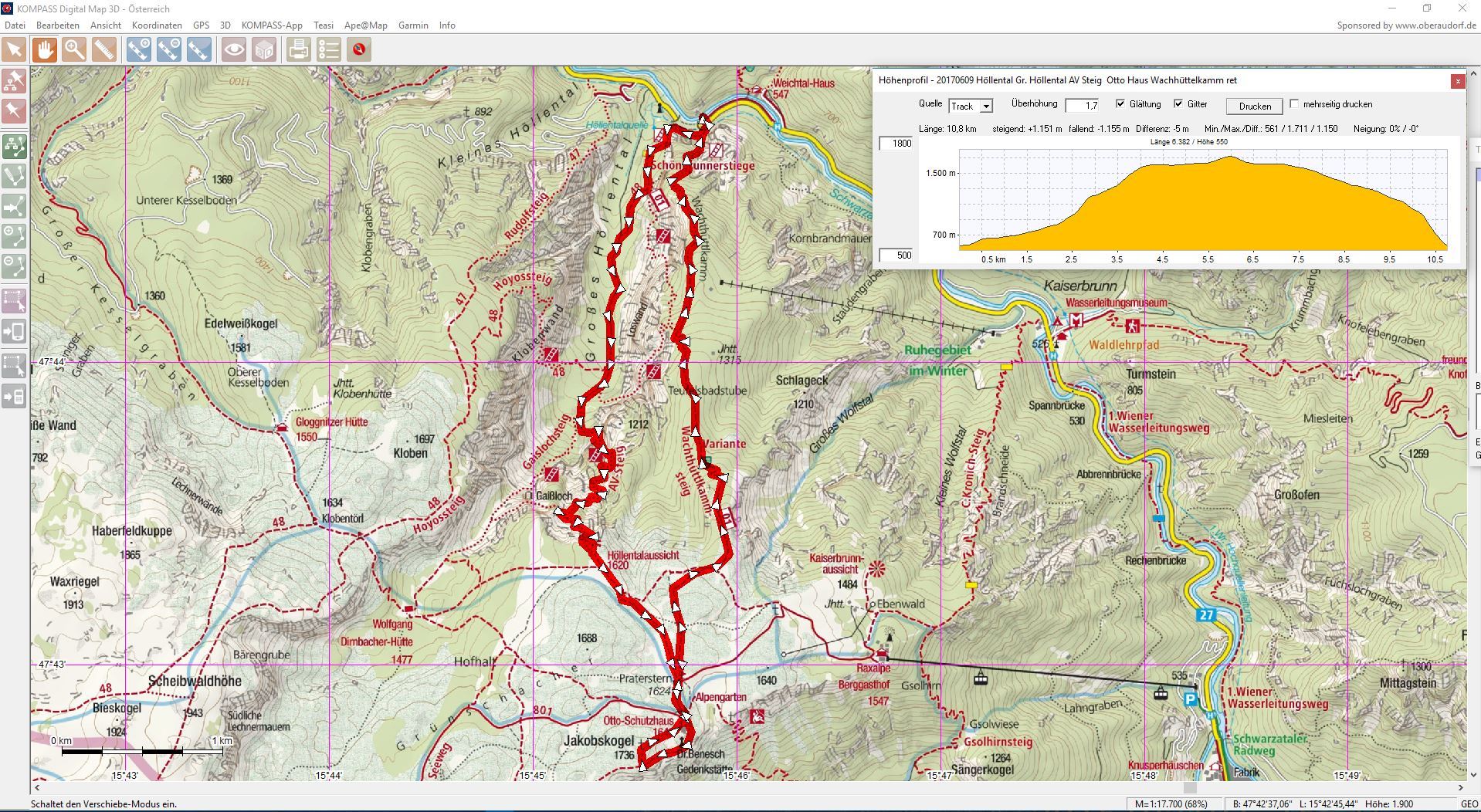
10.6km
582
- 1,736m
1,190hm
1,190hm
06:00h
- Brief description
-
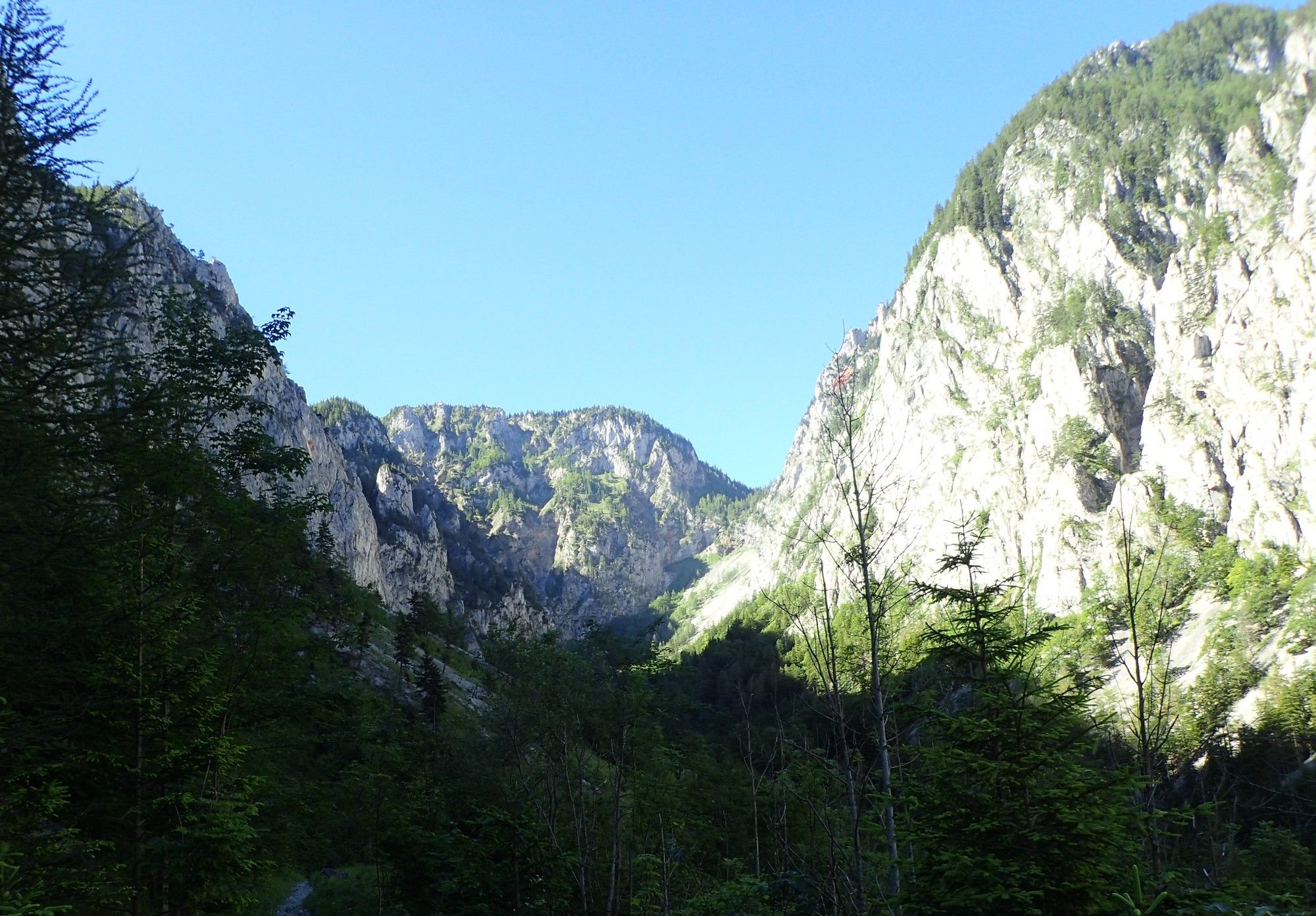
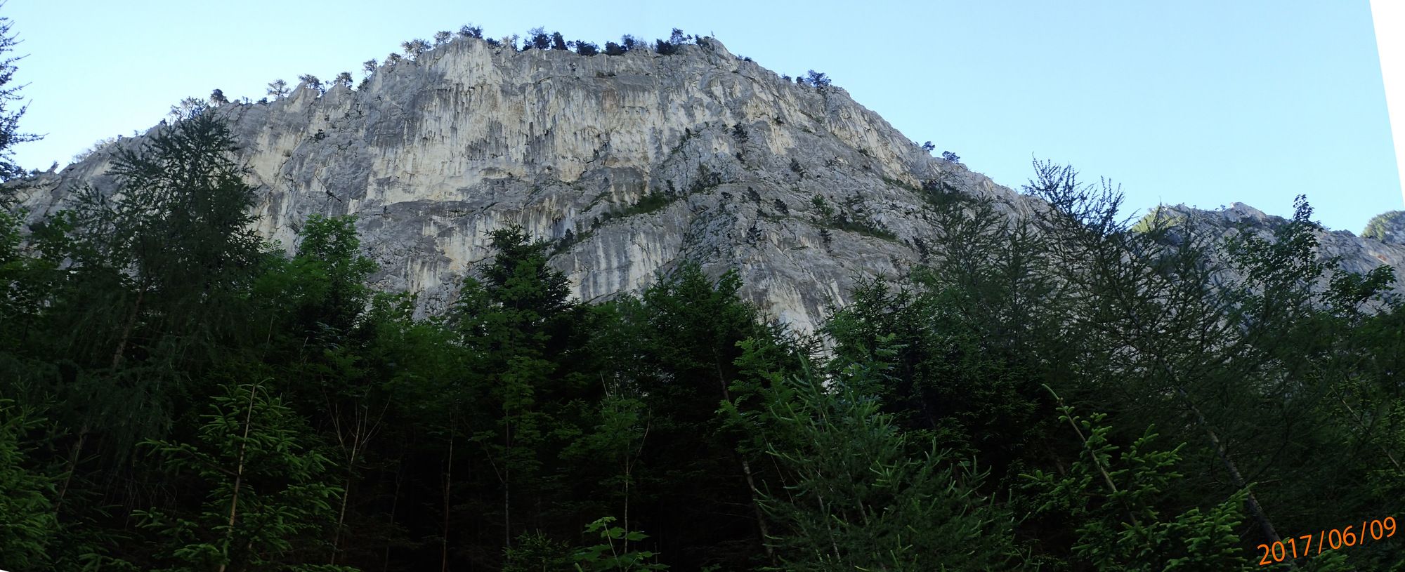
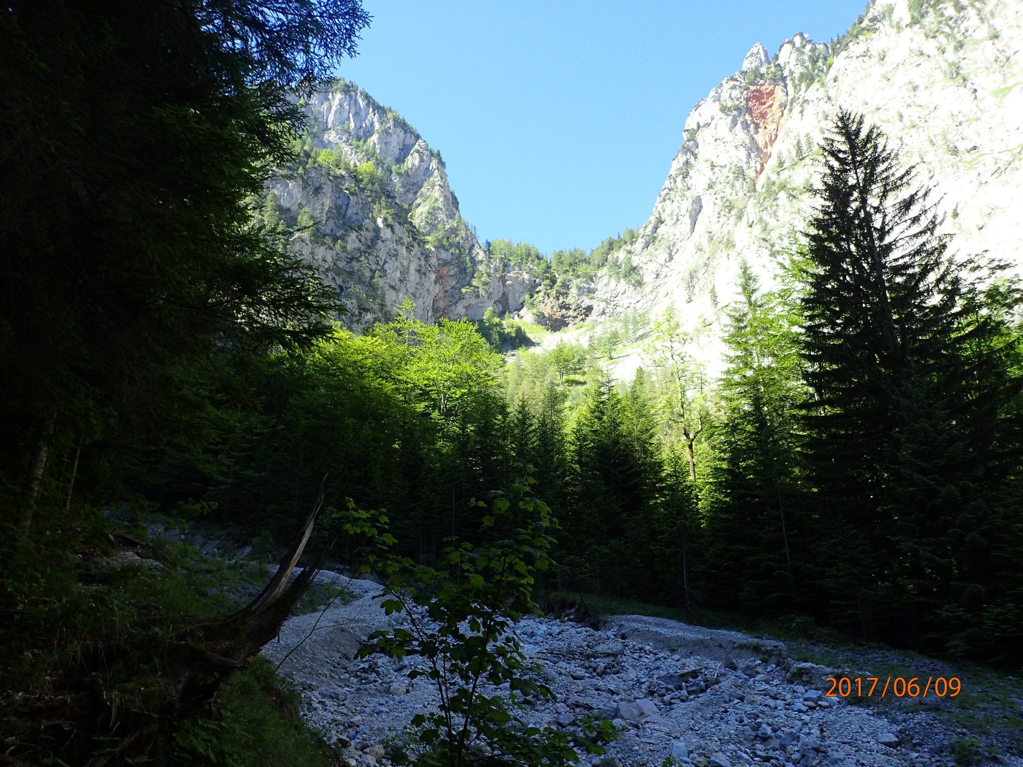
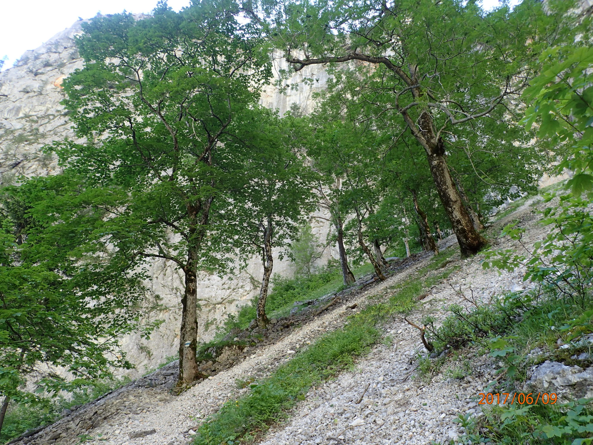
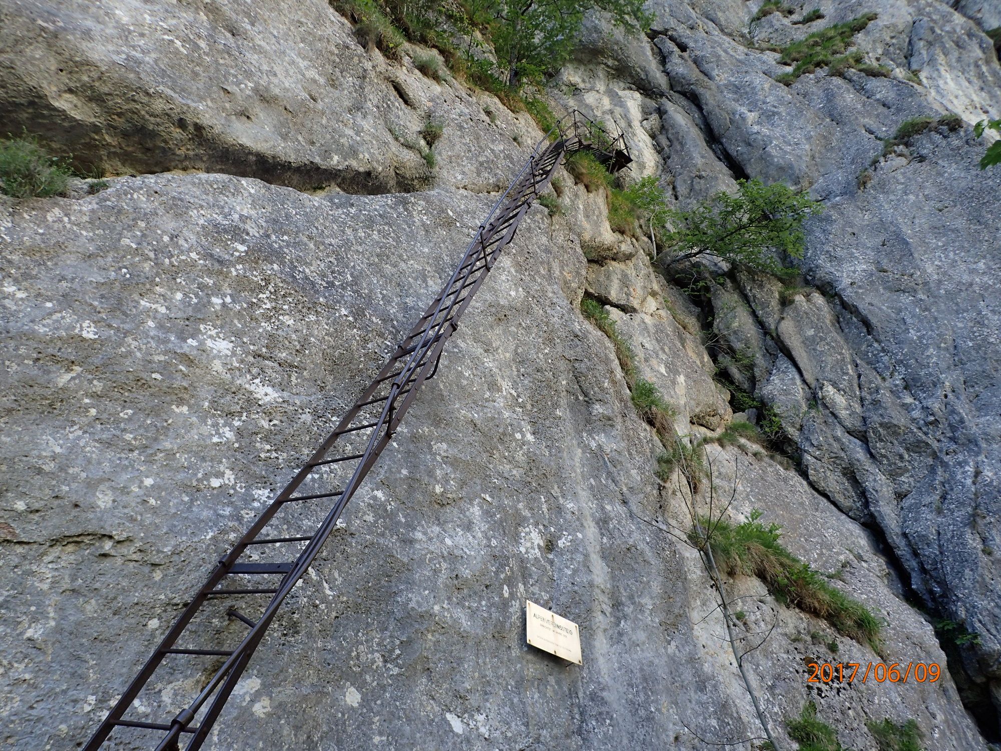
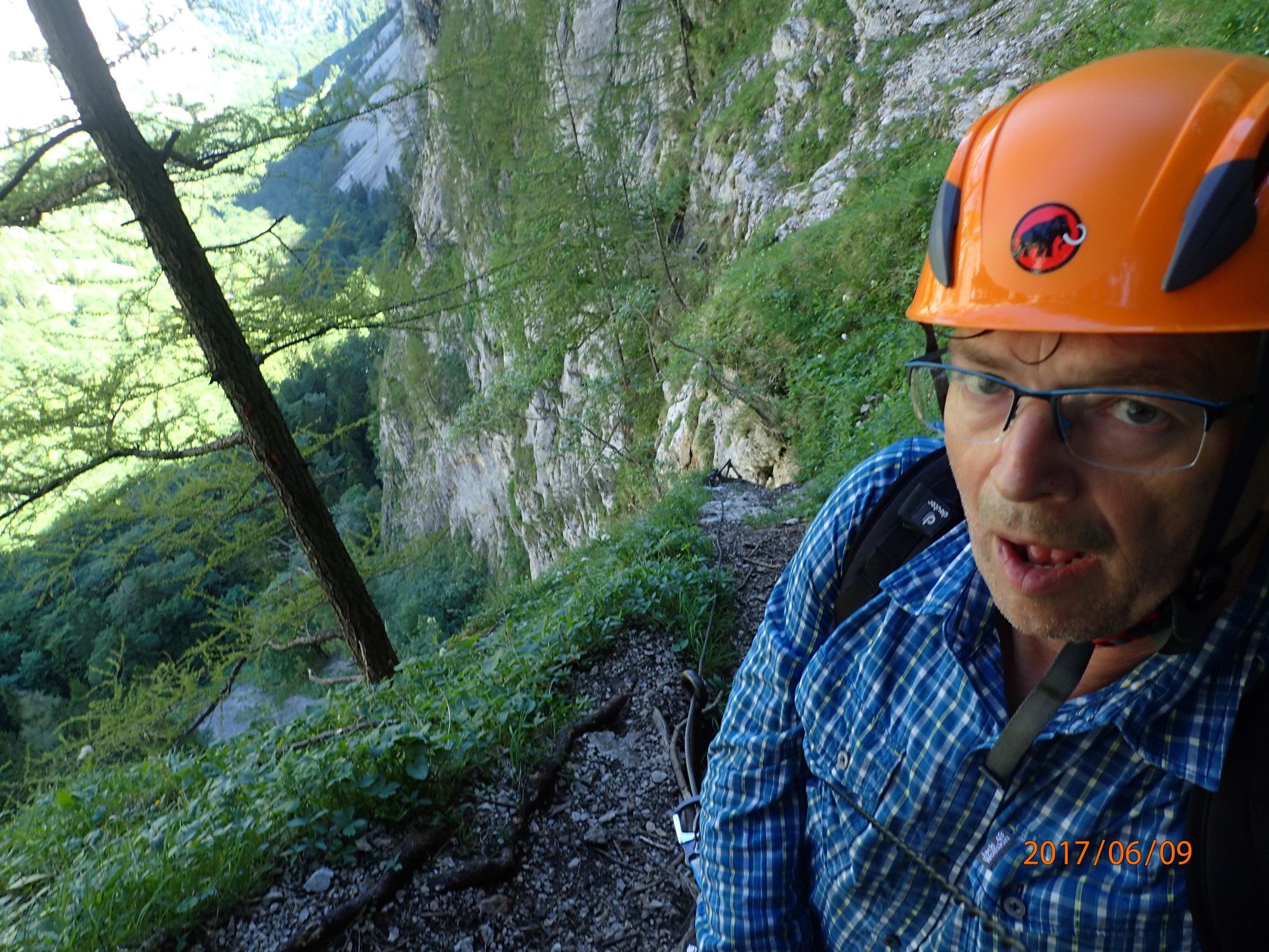
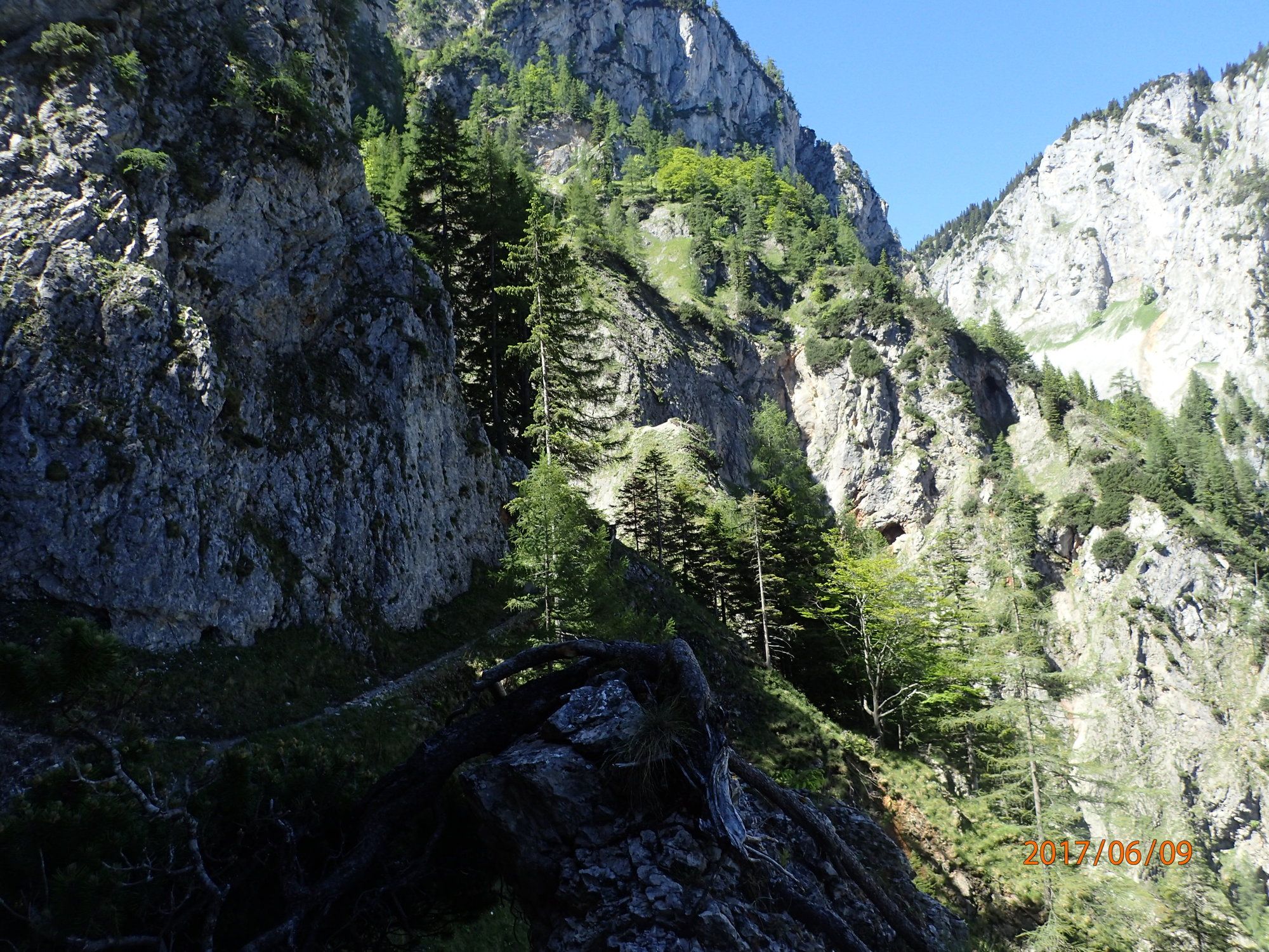
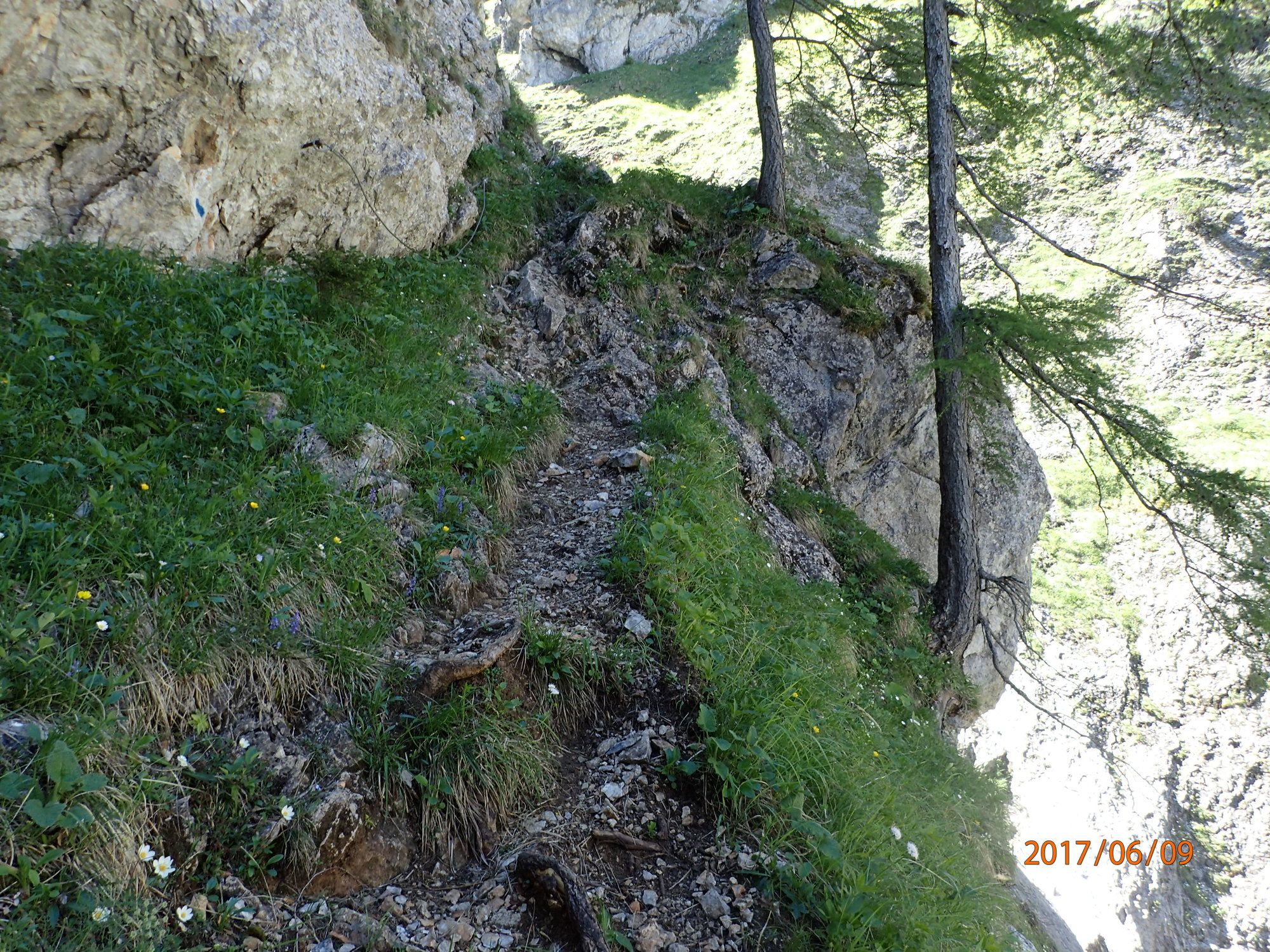
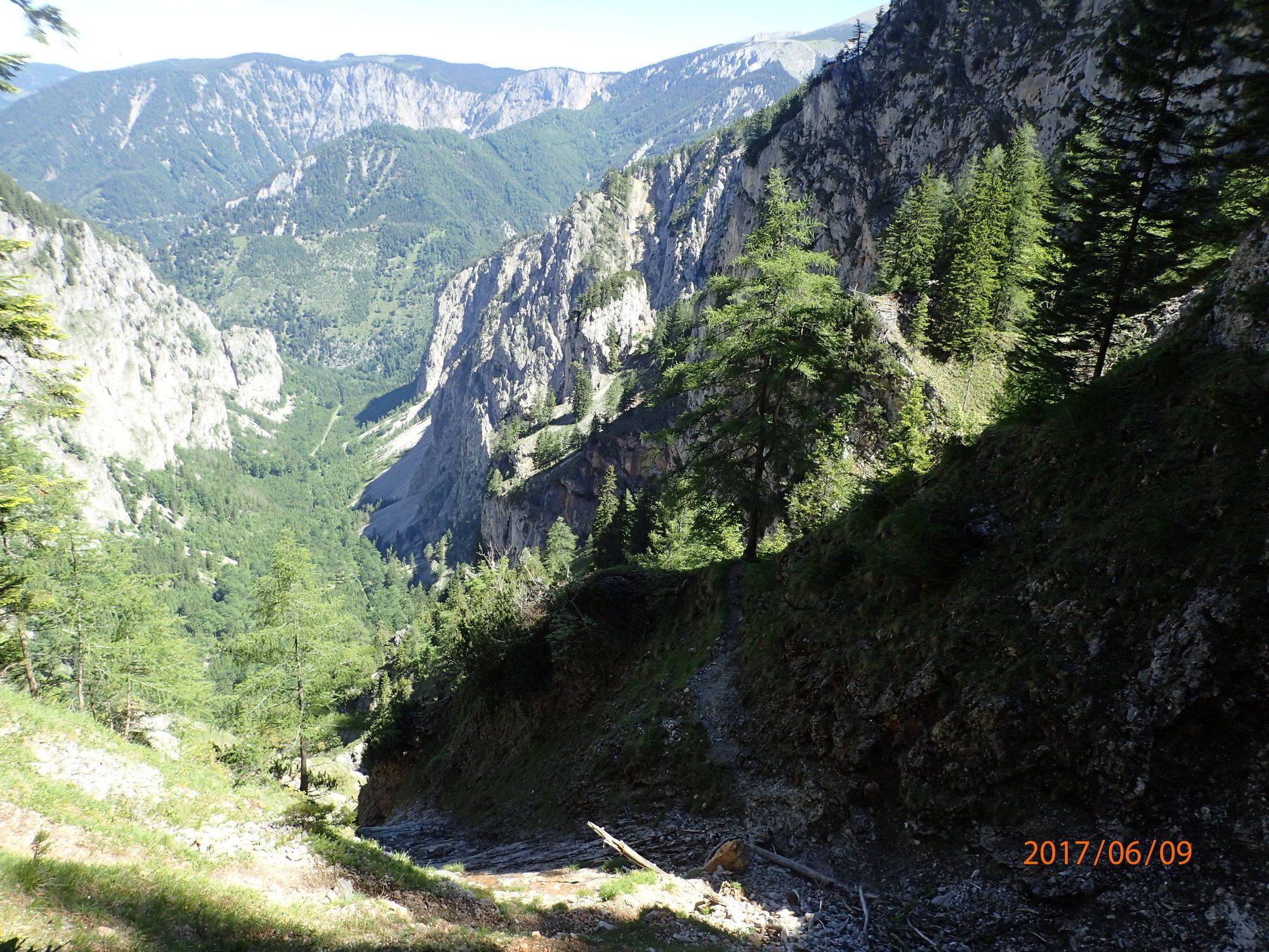
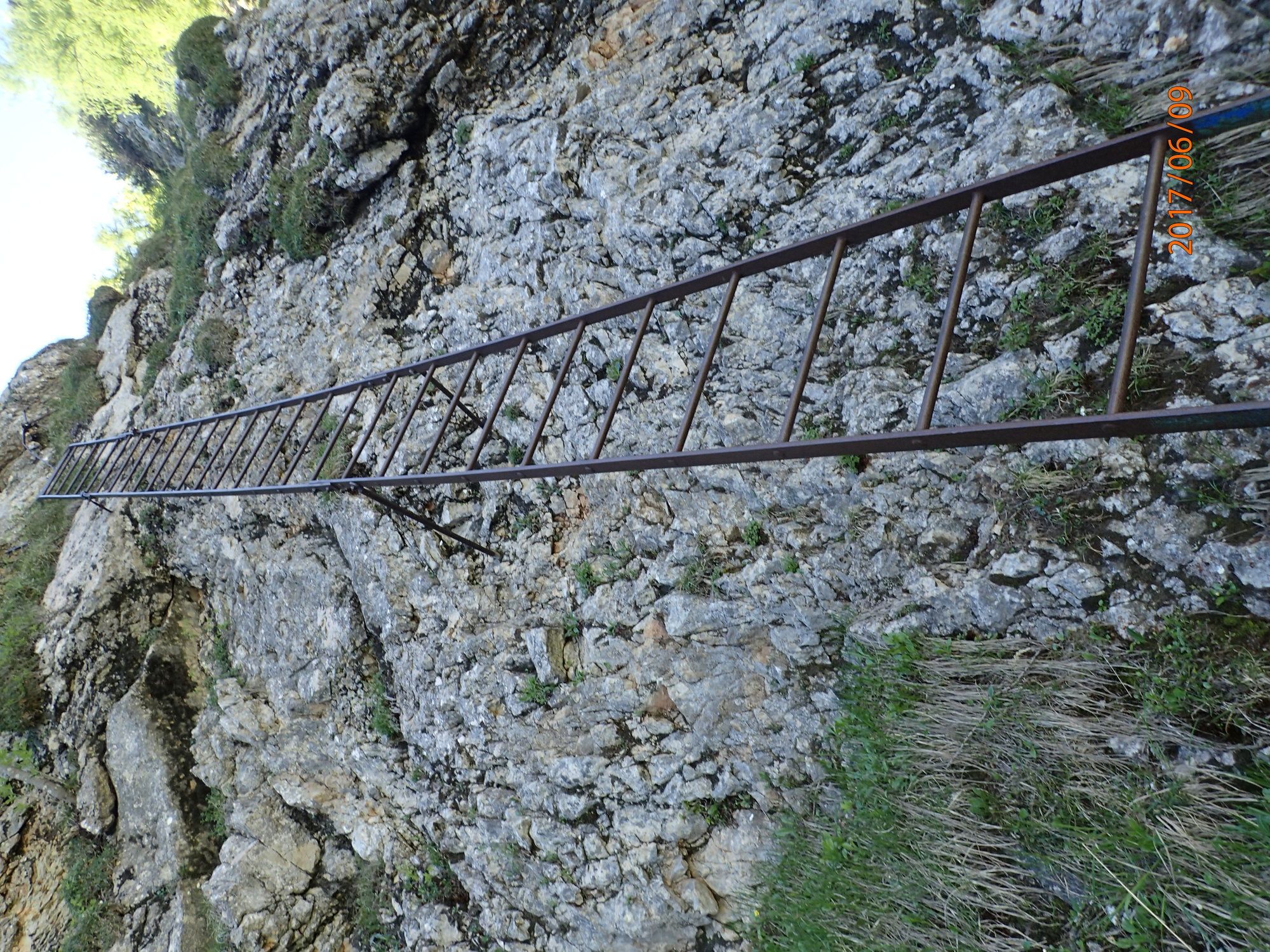
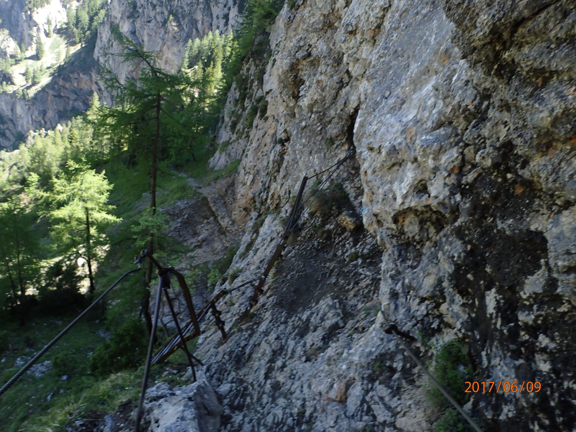
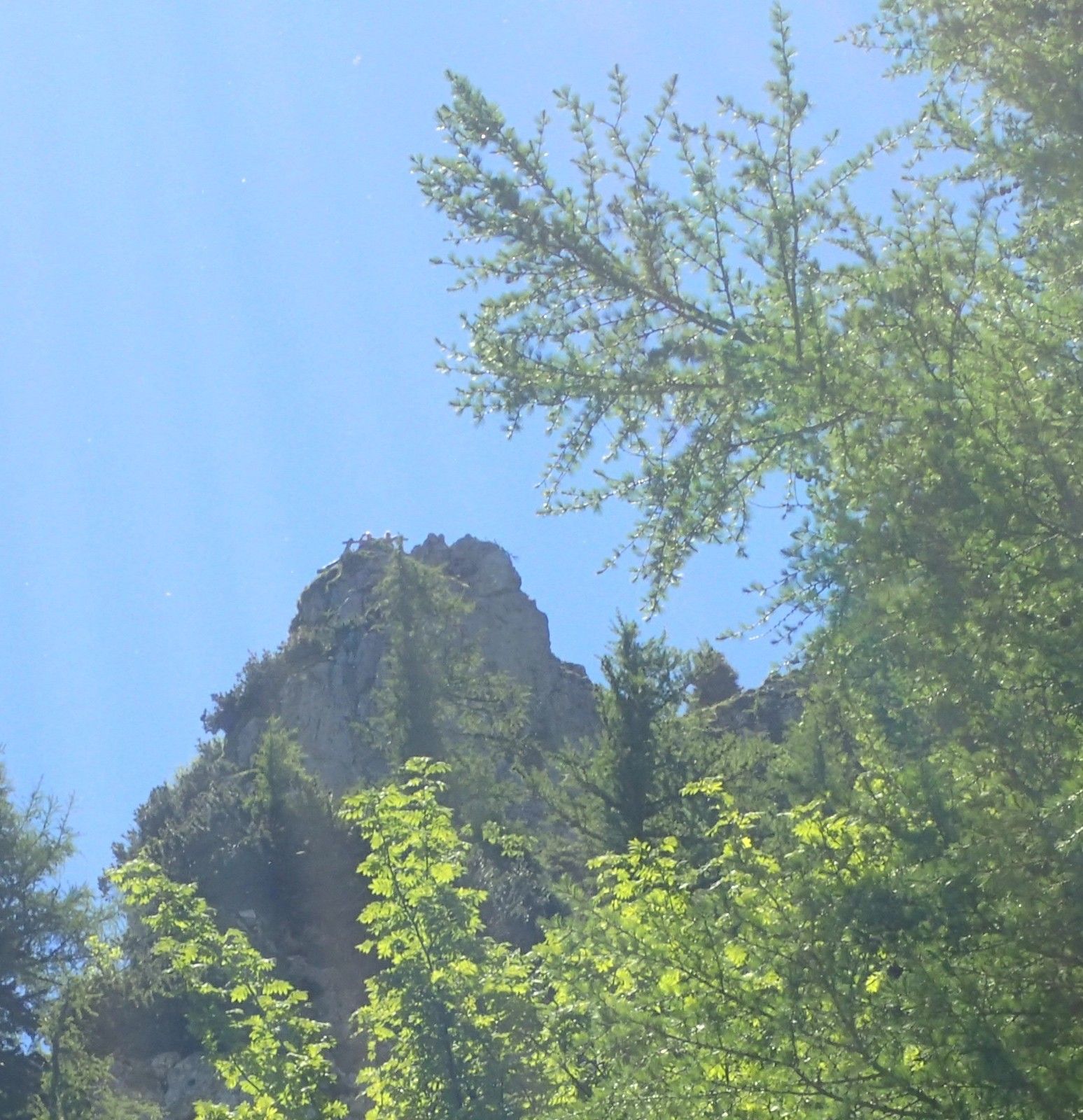
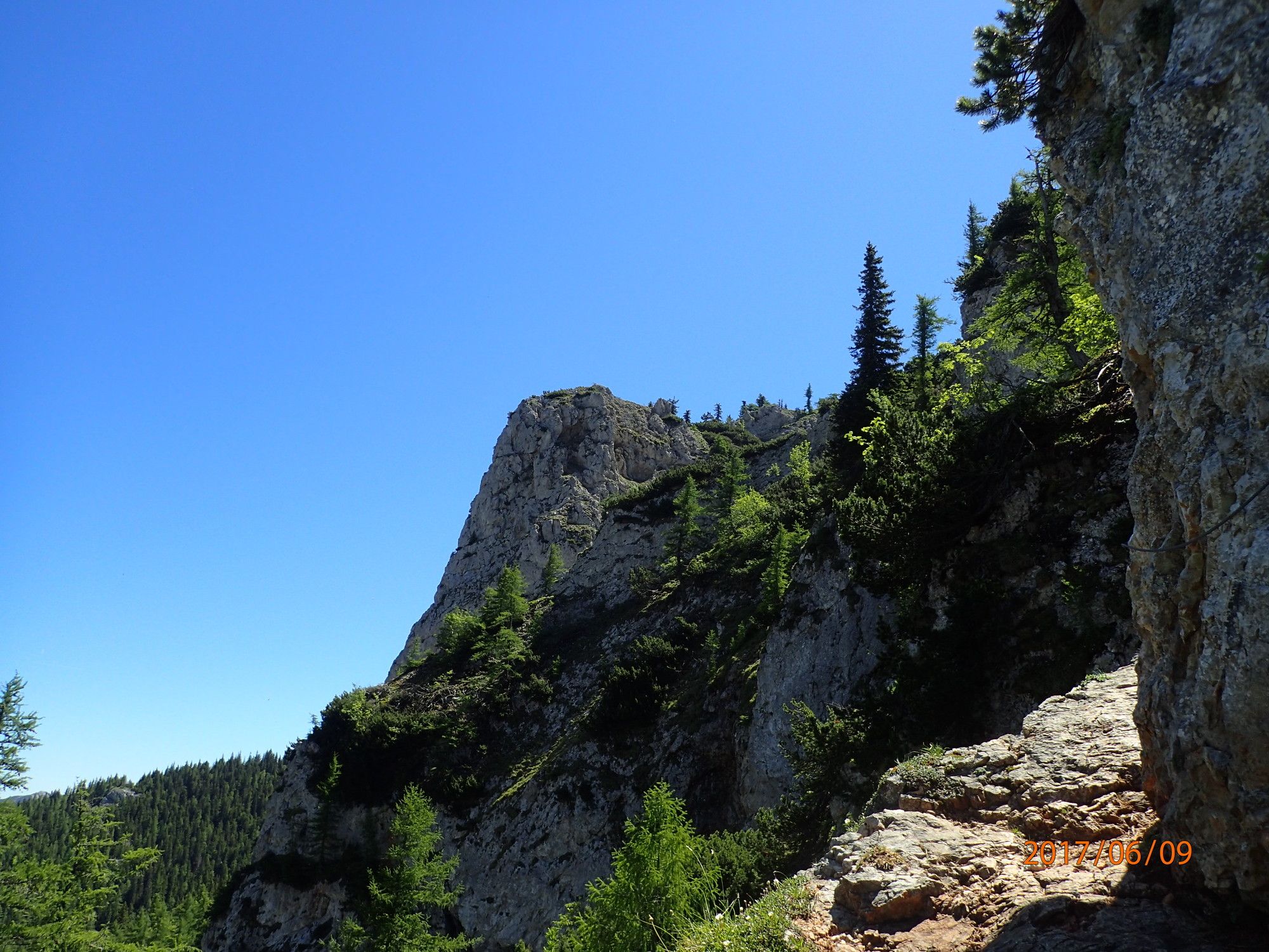
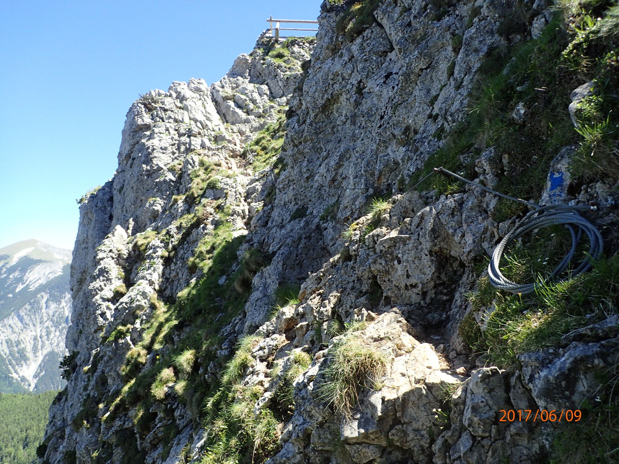
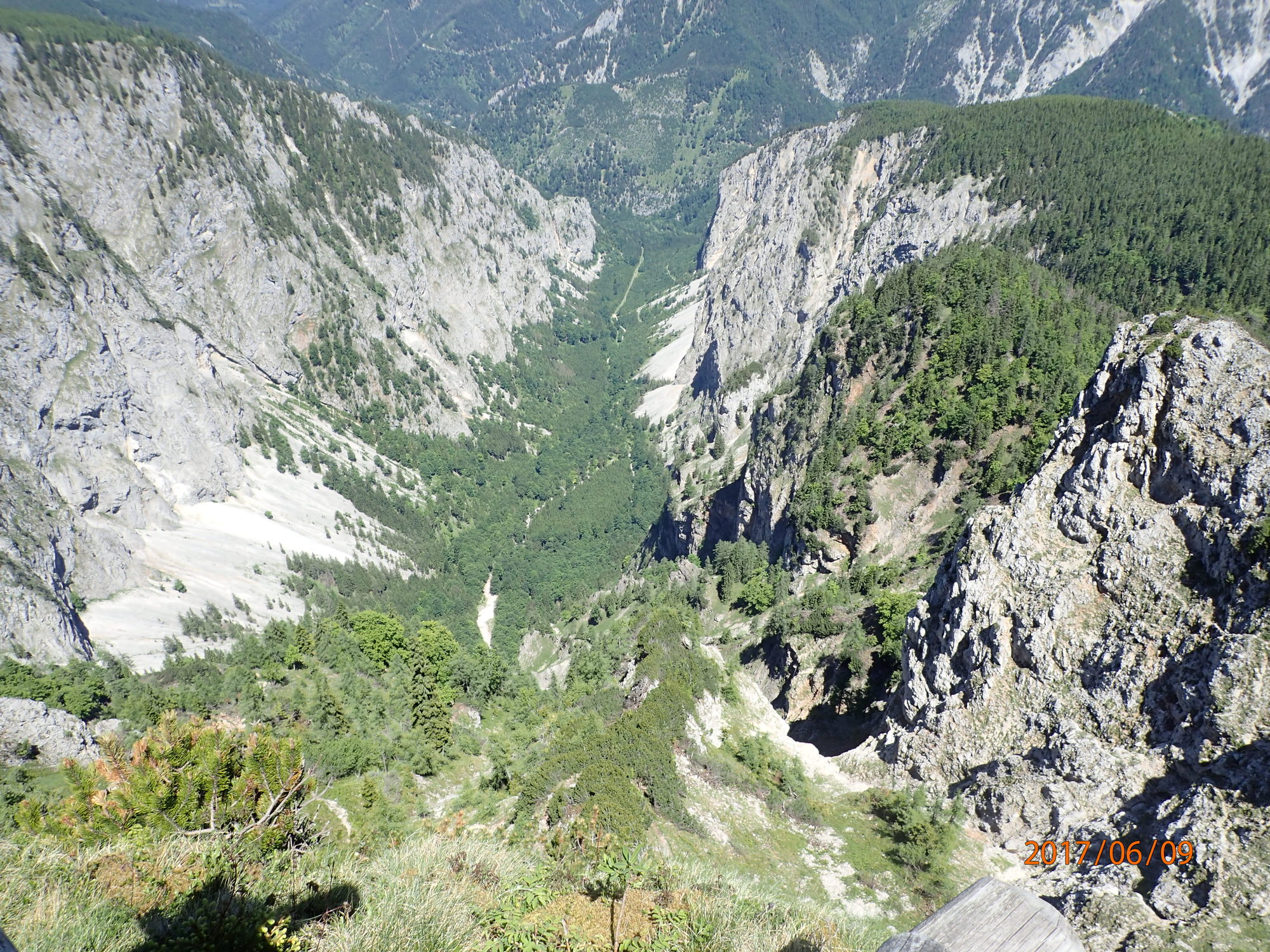
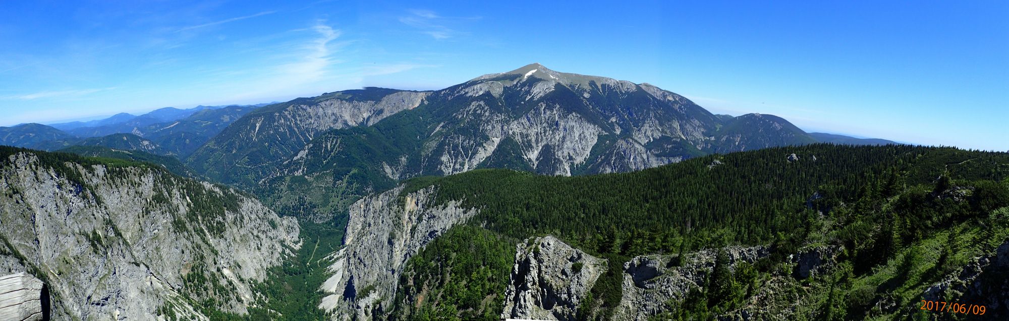
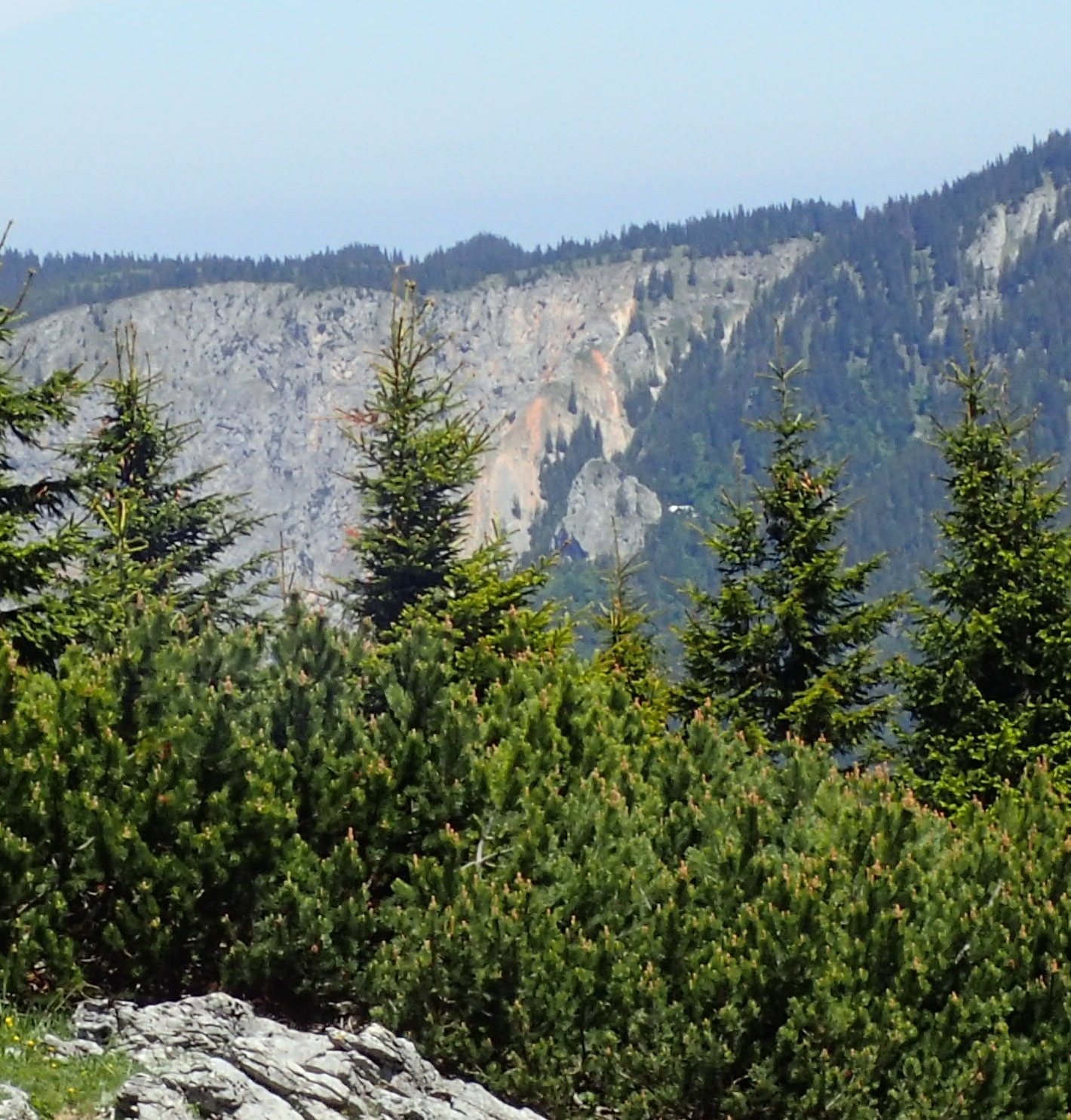
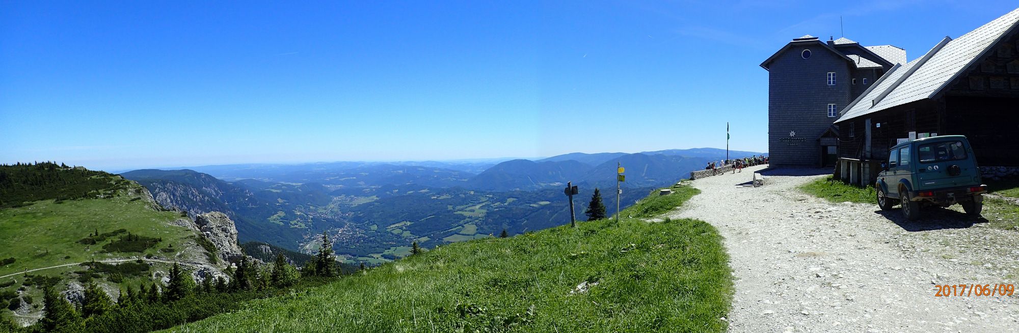
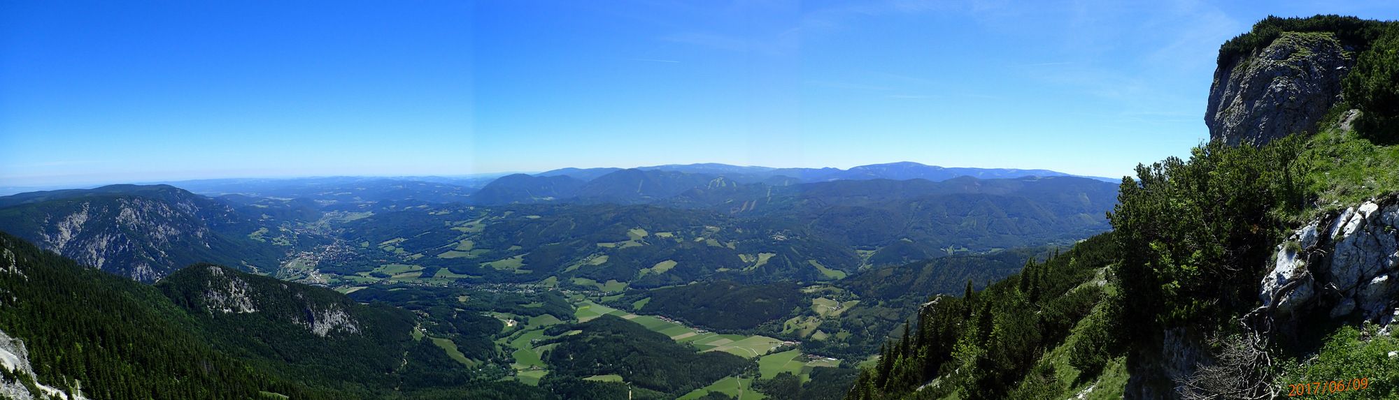
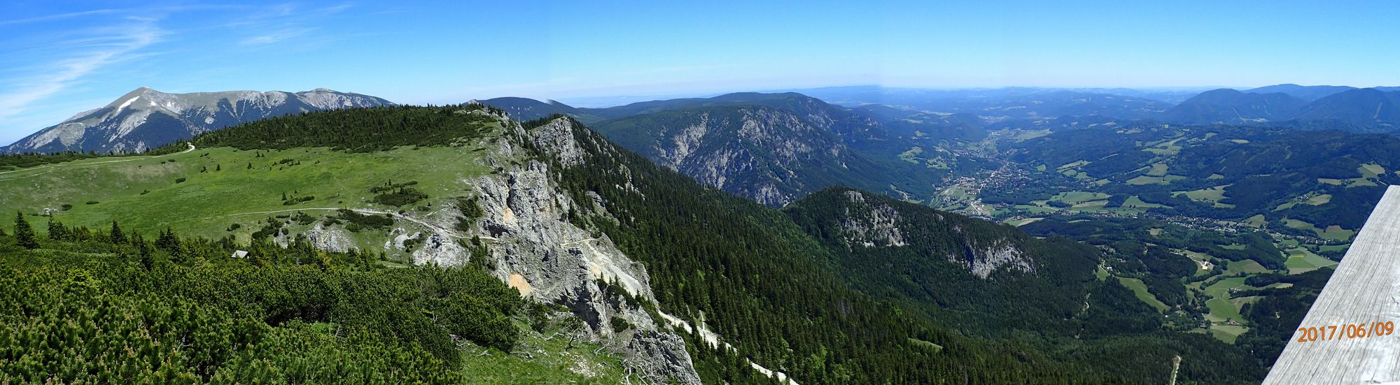
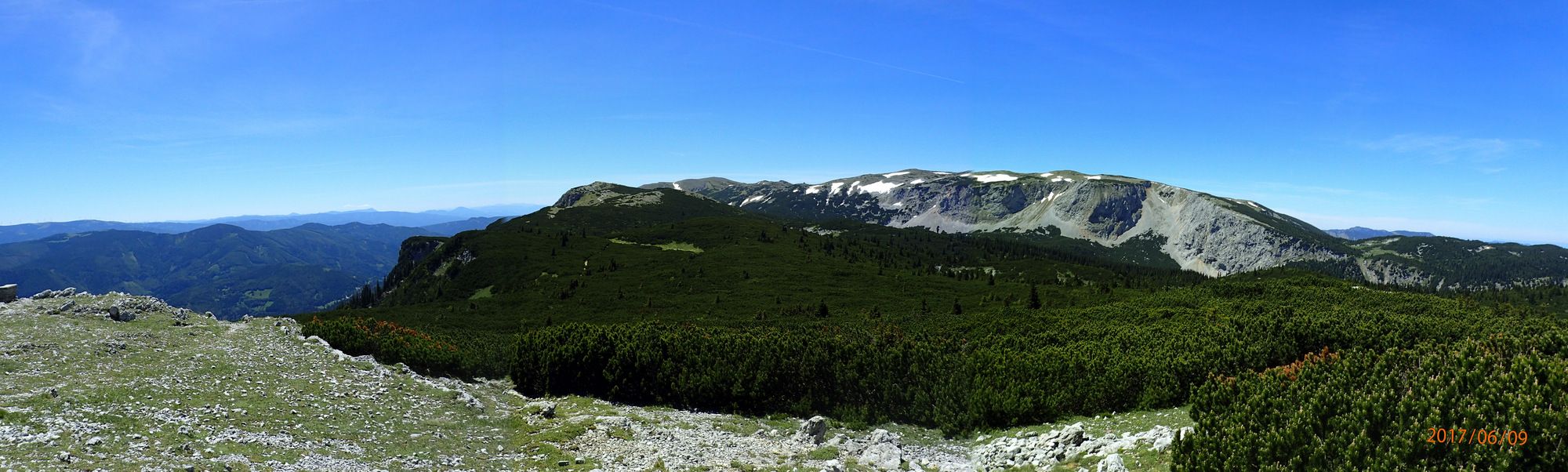
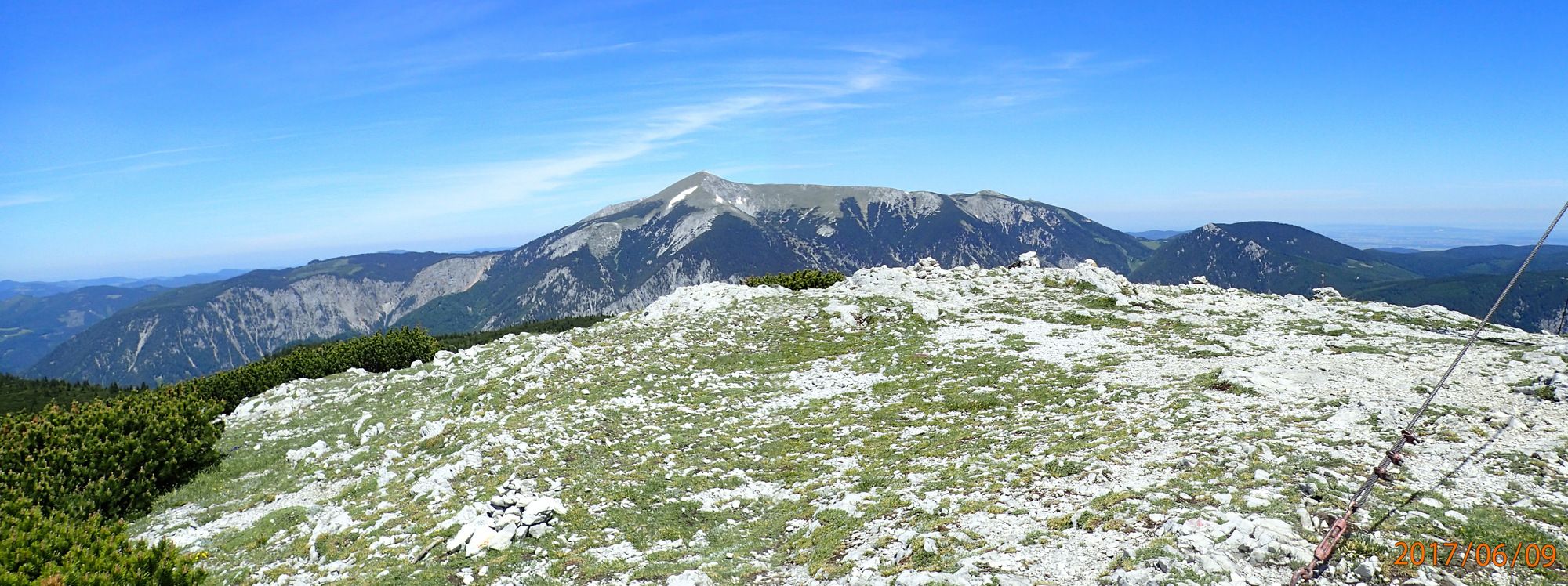
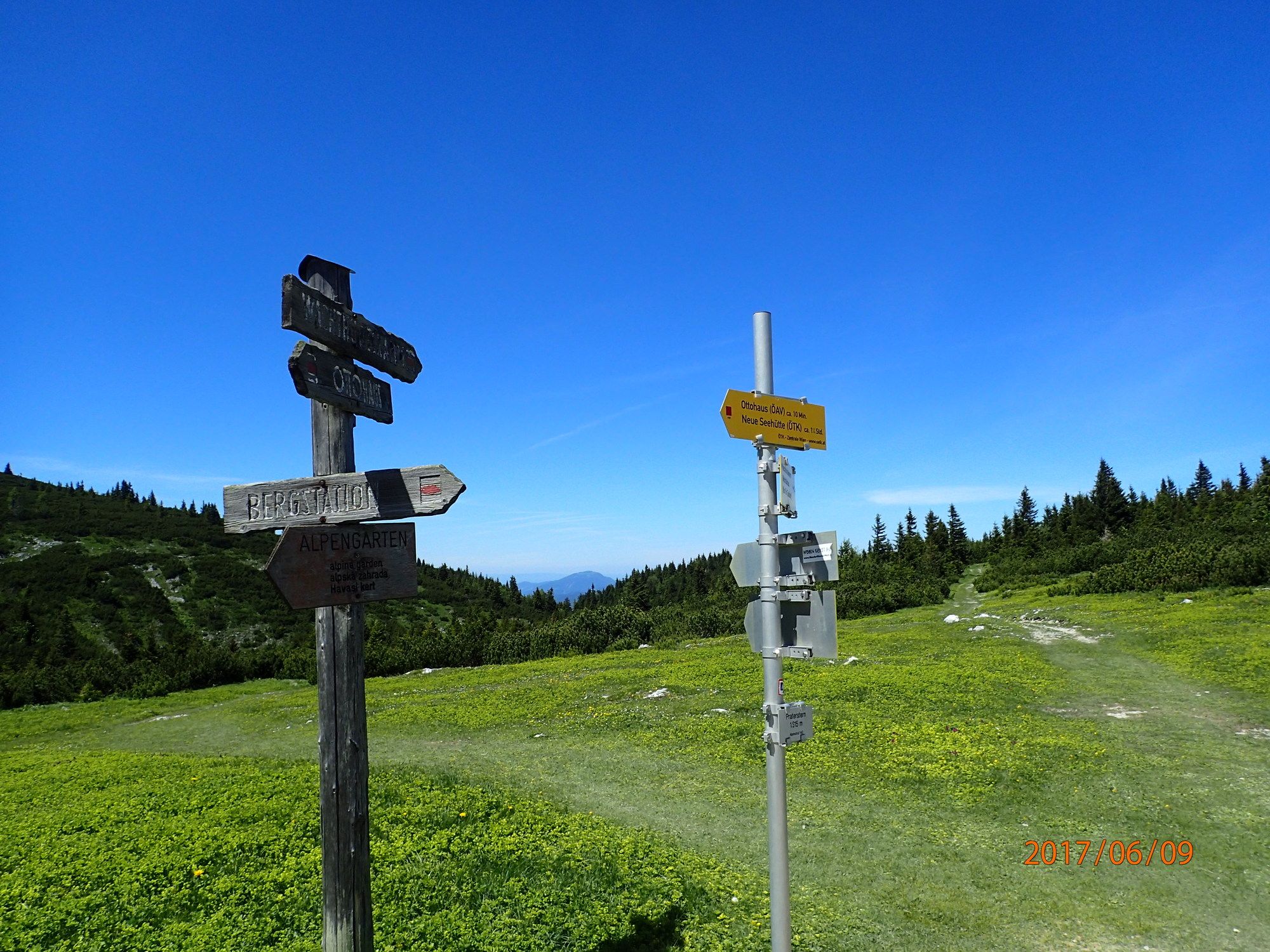
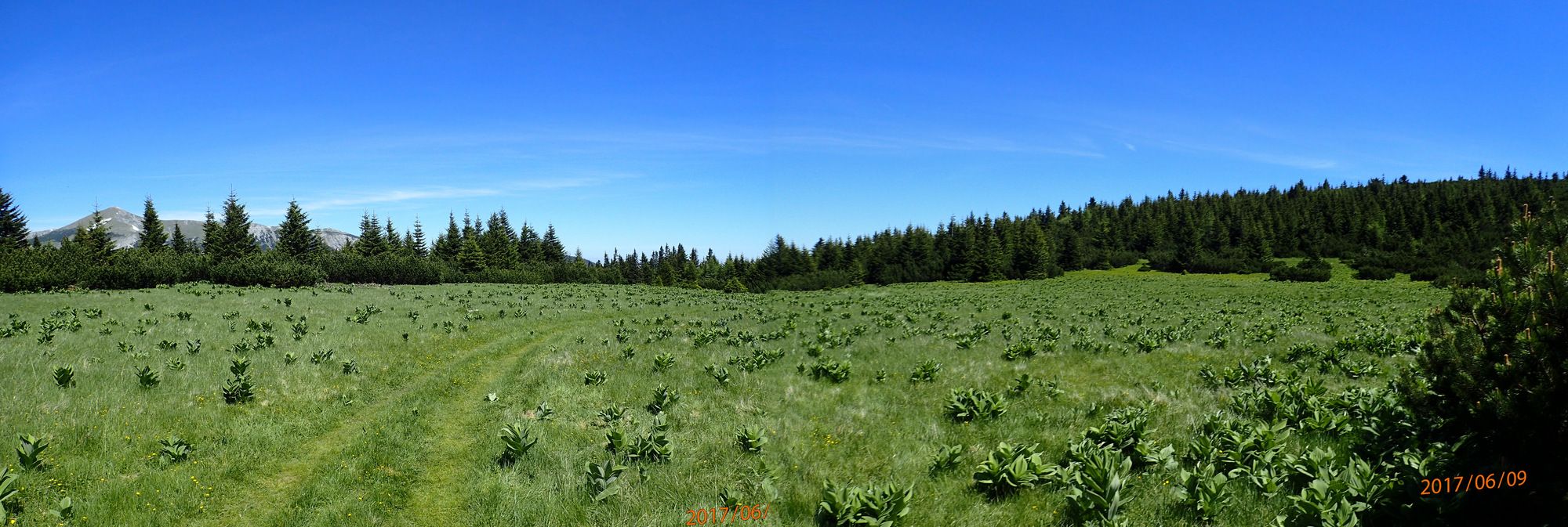
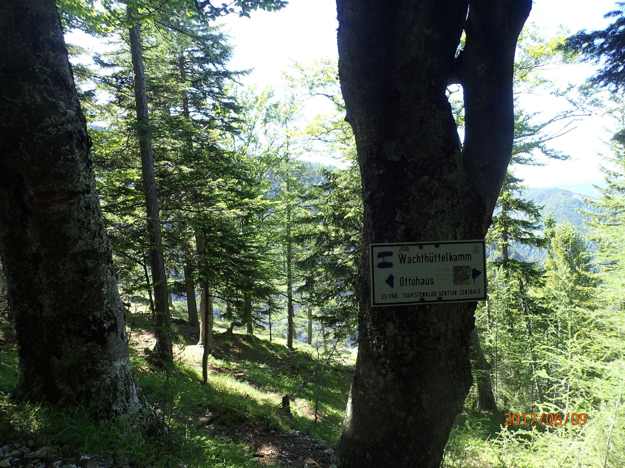
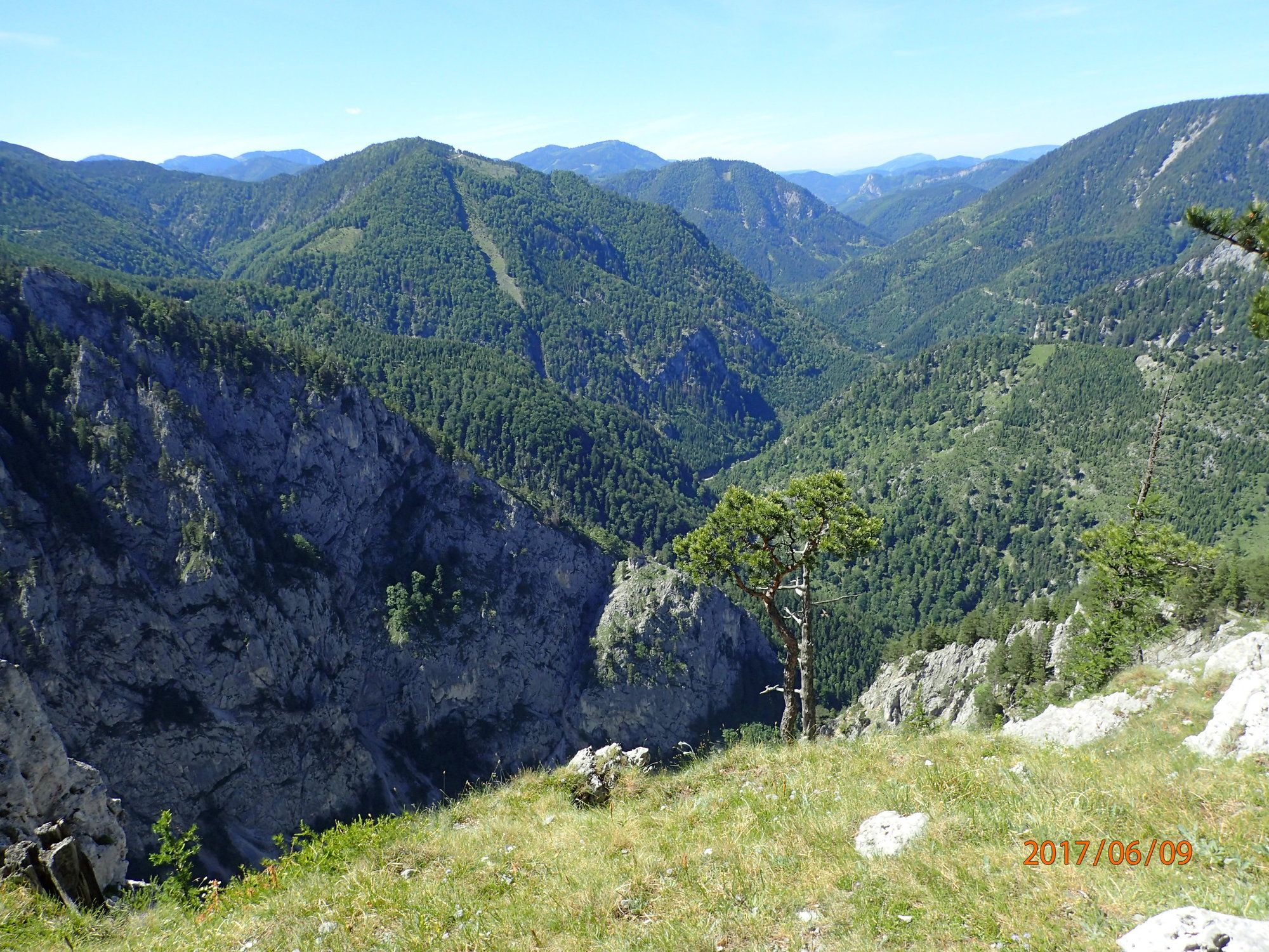
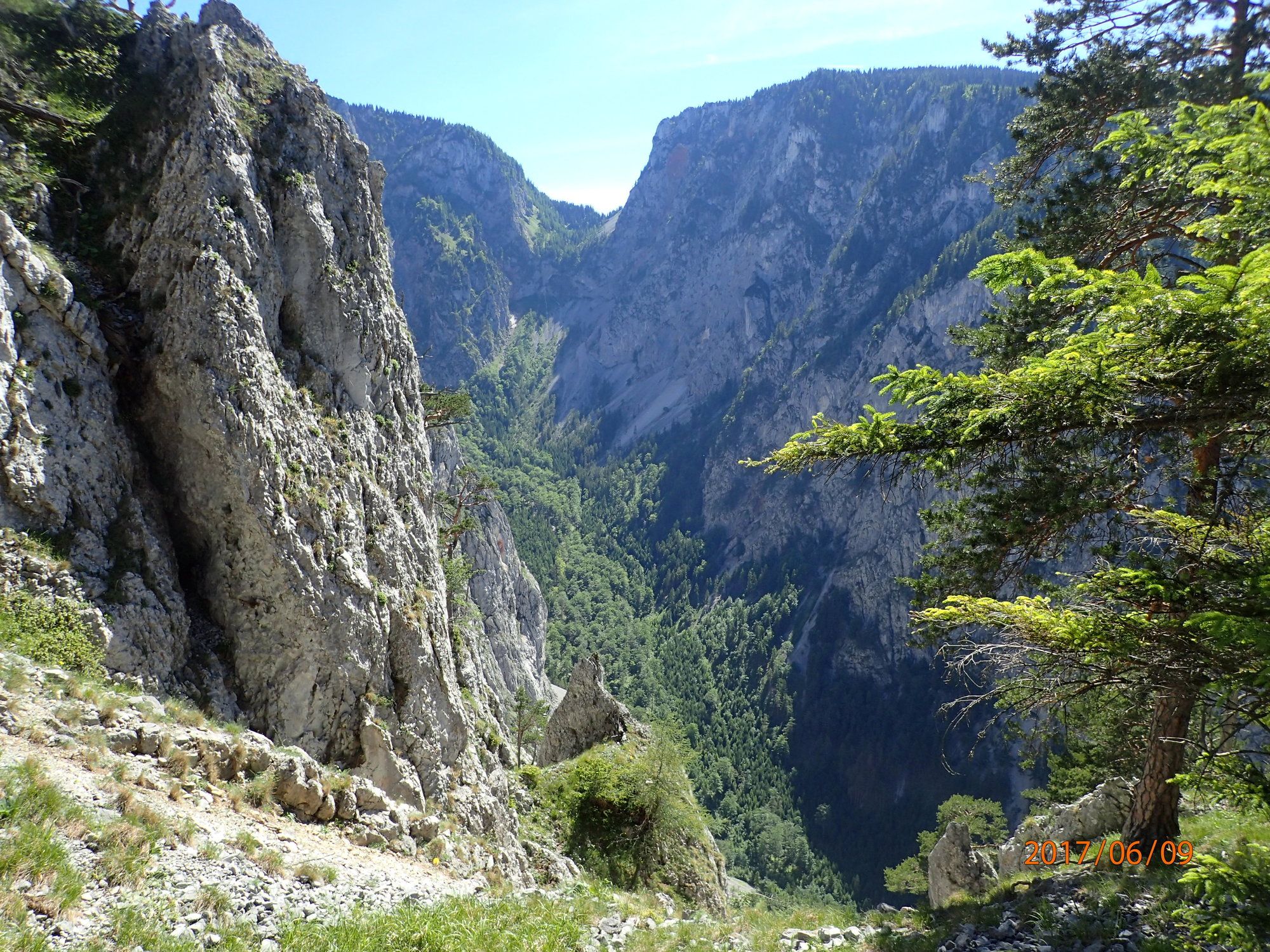
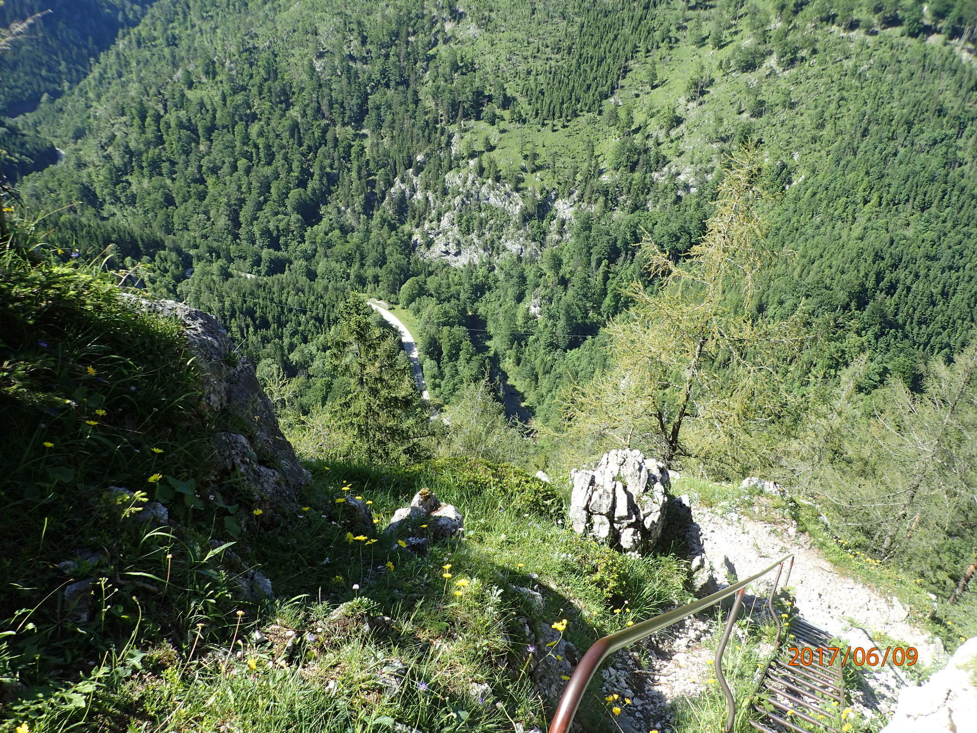
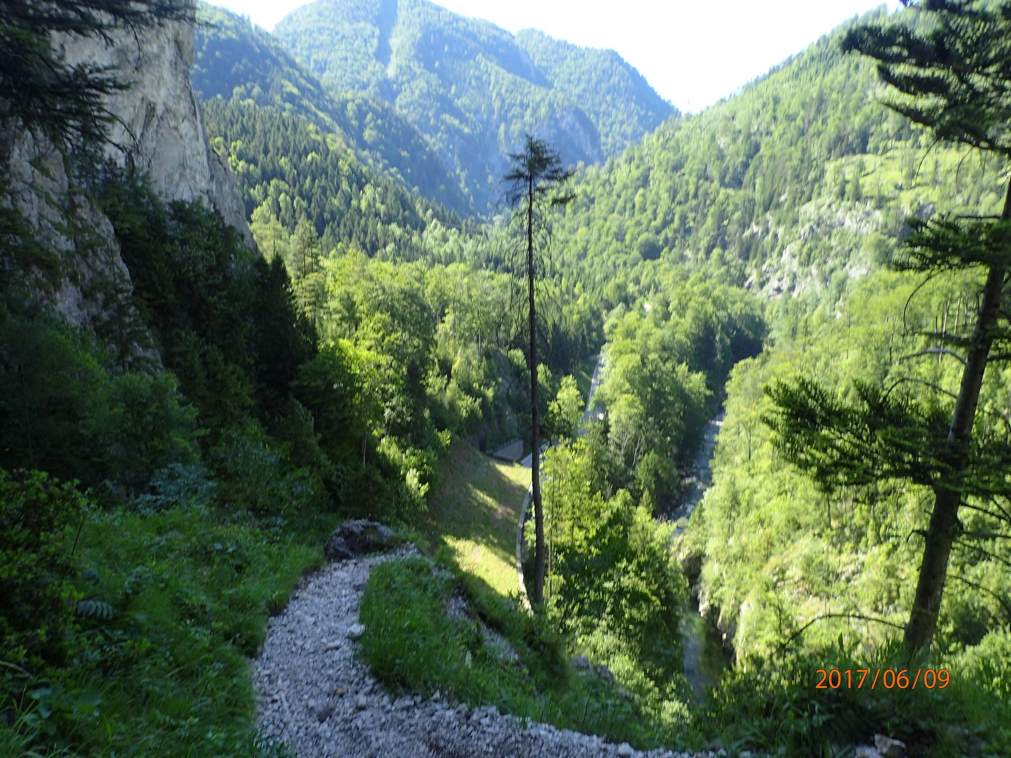
Höllentalwanderung am AV Steig zum Ottohaus und auf den Jakobskogel. Über dem Wachhüttelkamm retour.
- Difficulty
-
difficult
- Rating
-
- Starting point
-
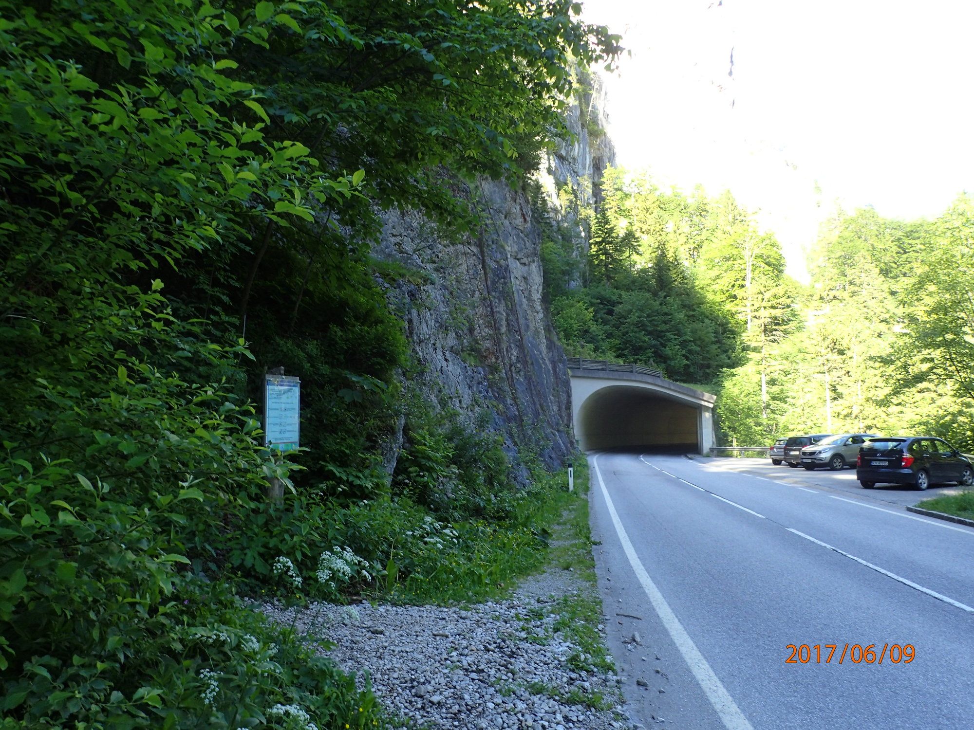
Parkplatz oder Bushaltestelle
- Route
-
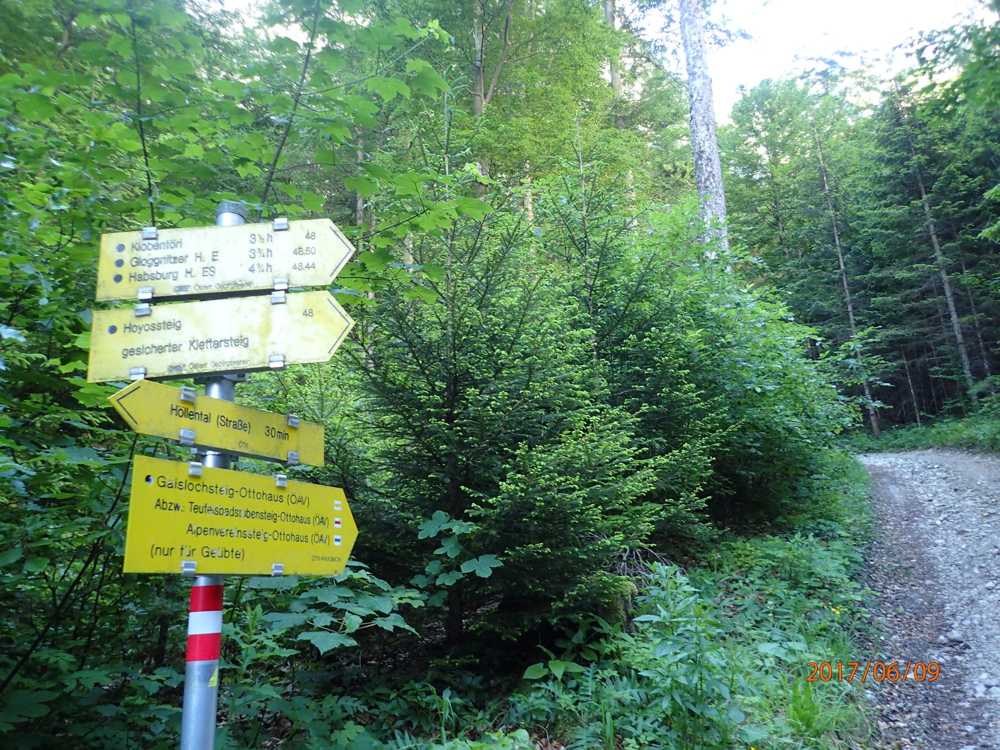
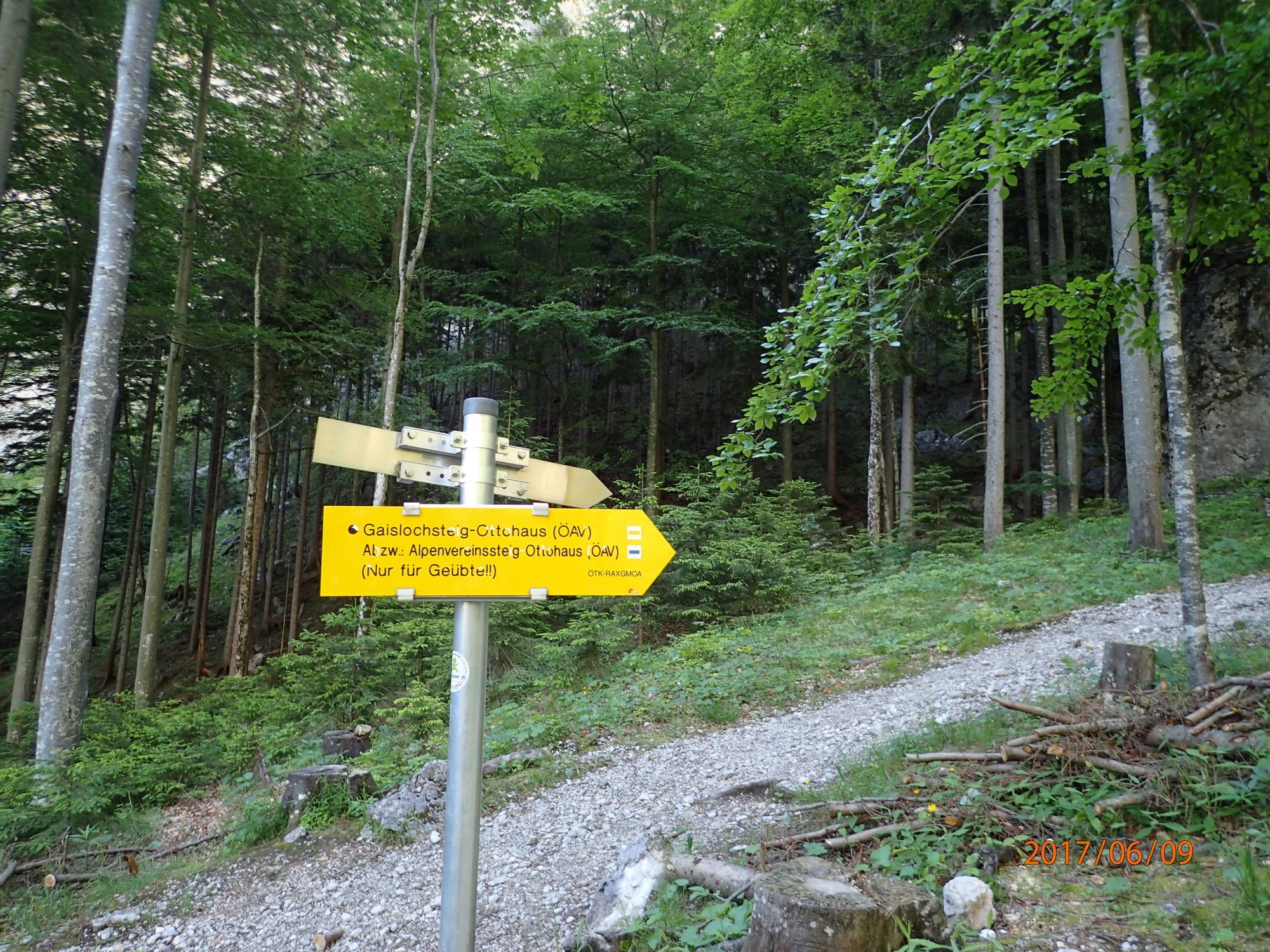
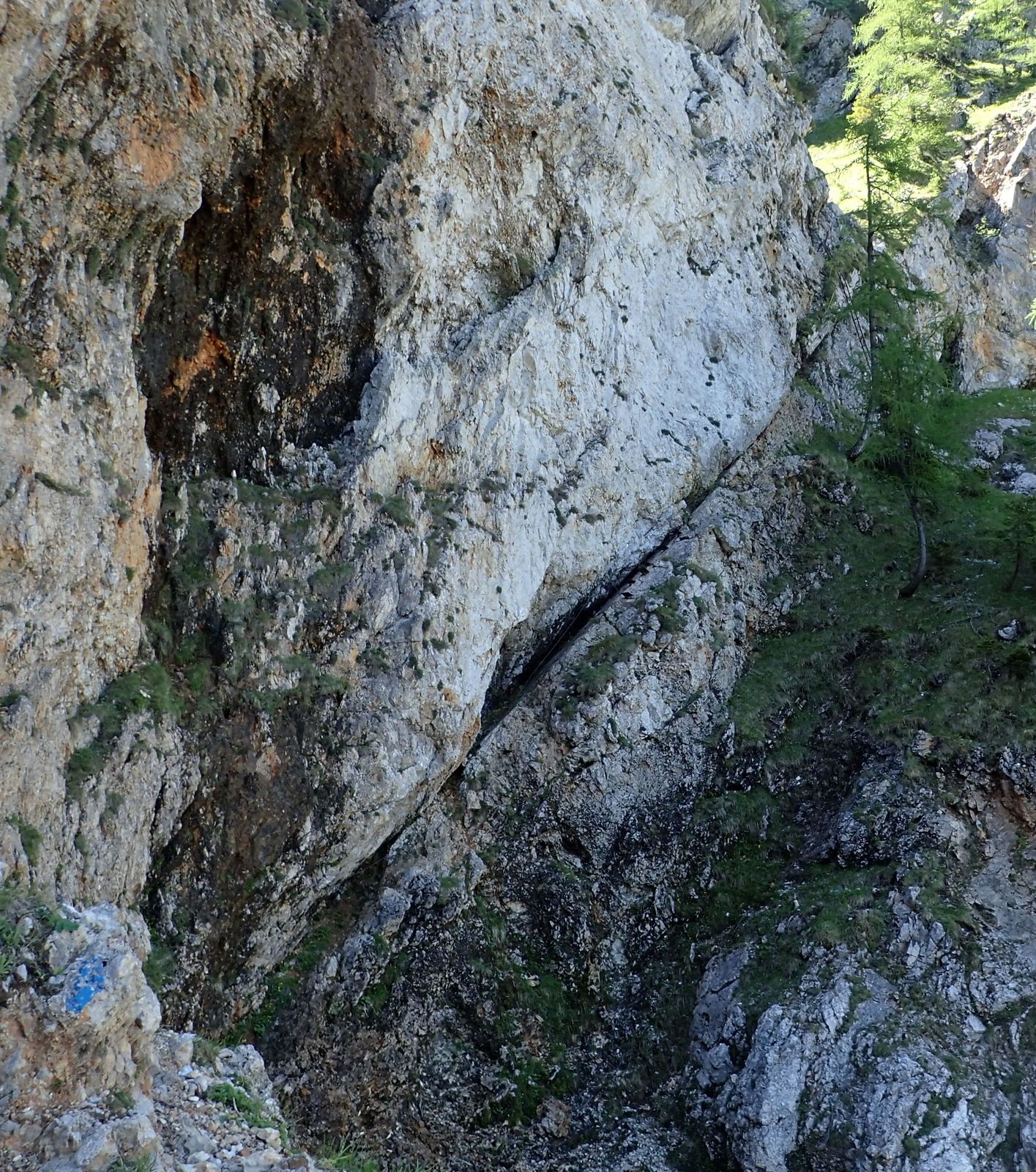
Untere Höhlensteighöhle0.2 kmHöhlensteighöhle0.2 kmMalagahöhle0.3 kmAlpenvereinssteighöhle2.5 kmObere Alpenvereinssteighöhle3.2 kmHöllentalaussicht3.6 kmLosbühel (1,621 m)3.6 kmPraterstern (1,623 m)4.7 kmOttohaus5.0 kmVilma-Haid-Aussicht5.1 kmJakobskogelschacht5.1 kmJakobskogel (1,737 m)5.5 kmHocheck (1,368 m)8.2 kmSchrofenloch8.8 kmPlateaurandkluft9.1 kmTouristenschlinger9.5 kmSchlaziger Schlitz10.1 kmEinsiedlerhöhle10.2 kmGuckloch10.3 kmHildenhöhle10.3 kmVierkammerlucke10.3 km
- Best season
-
JanFebMarAprMayJunJulAugSepOctNovDec
- Highest point
- Jakobskogel (1,736 m)
- Endpoint
-
Großes Höllental, Alpenvereinssteig, Höllentalaussicht, Ottohaus, Jakobskogel, Wachhüttelkamm retour
- Rest/Retreat
-
Ottohaus
- Ticket material
-
bergfex, amap, kompass, opentopomap


- Source
- Erich Helferstorfer
GPS Downloads


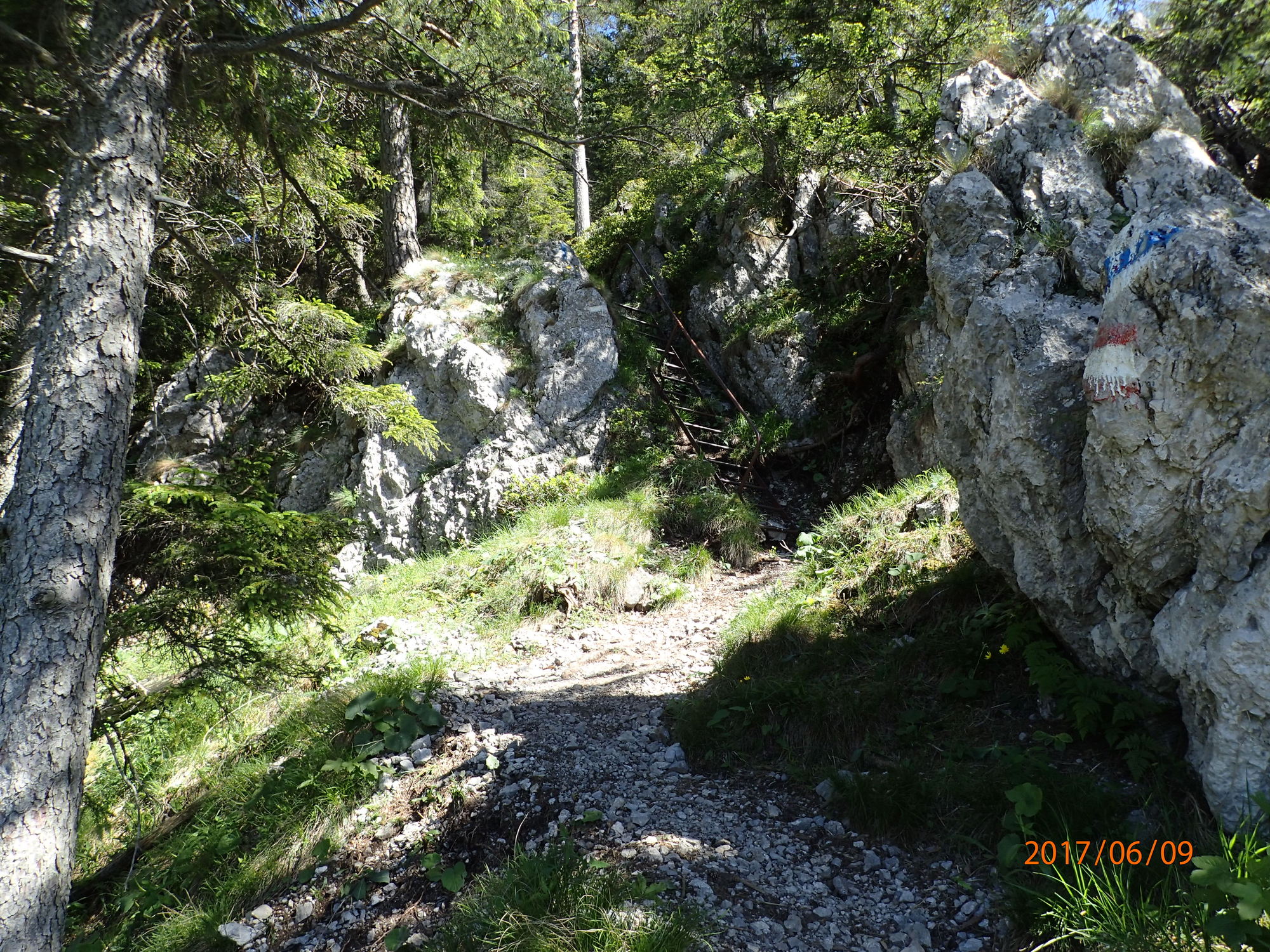
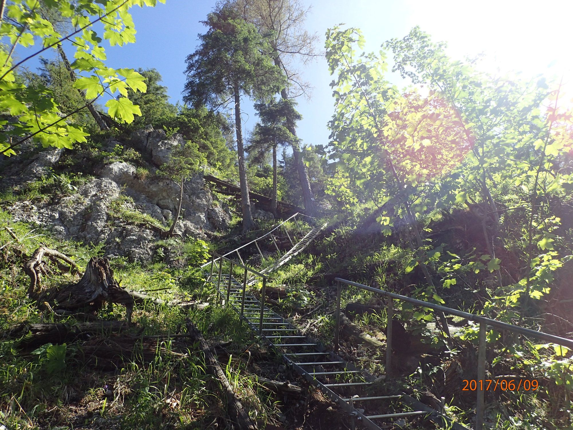
Trail conditions
Asphalt
(1%)
Gravel
(60%)
Meadow
(34%)
Forest
(30%)
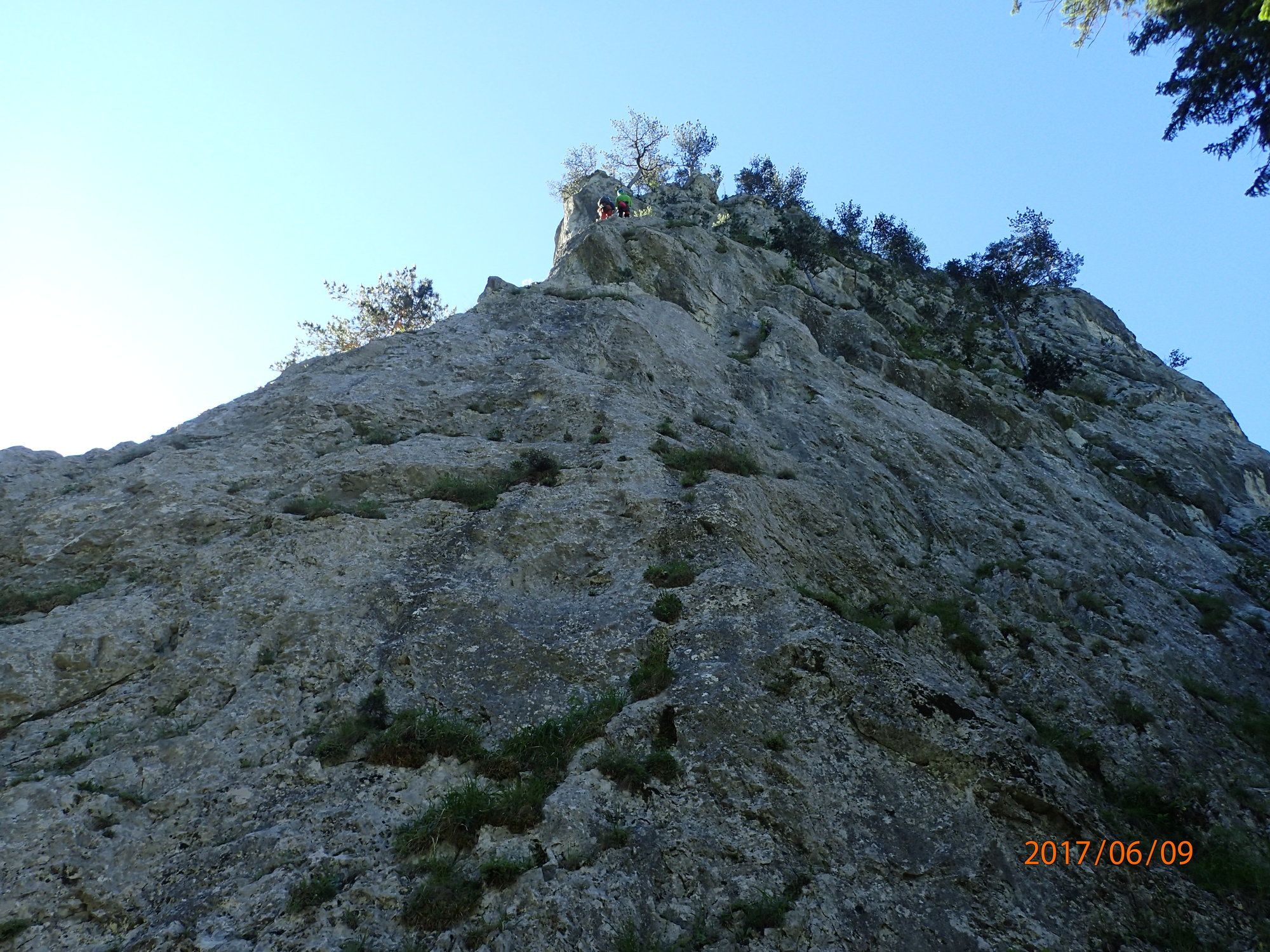
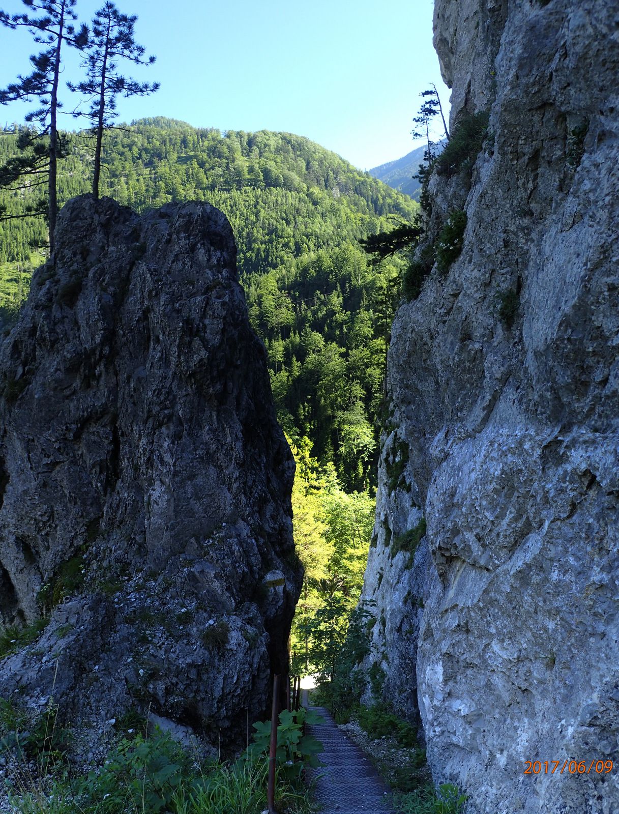
Rock
(10%)
Exposed
Other tours in the regions
-
Hochsteiermark
4076
-
Waldheimat
2191
-
Reichenau / Rax - Raxalpe
933


