
Lauperswil
646 - 1.115 m
Open map
Die Gemeinde Lauperswil erstreckt sich beidseits der Emme, quer über das Tal, von der Blasenfluh bis zum Gränichenwald, dem Quellengebiet des Unteren Frittenbachs. Sie umfasst neben einer Grosszahl von Einzelhöfen und kleinen Hofgruppen die Dörfer Lauperswil, Emmenmatt und einen Teil der Ortschaft Zollbrück, Obermatt und die Kalchmatt, sowie die Weiler Längenbach, Wittenbach, Ebnit und Moosegg.
Contact us
Gemeinde Lauperswil
Dorfstrasse 51, 3438 Lauperswil
+41 34 496 22 22
info@lauperswil.ch
https://www.lauperswil.ch/

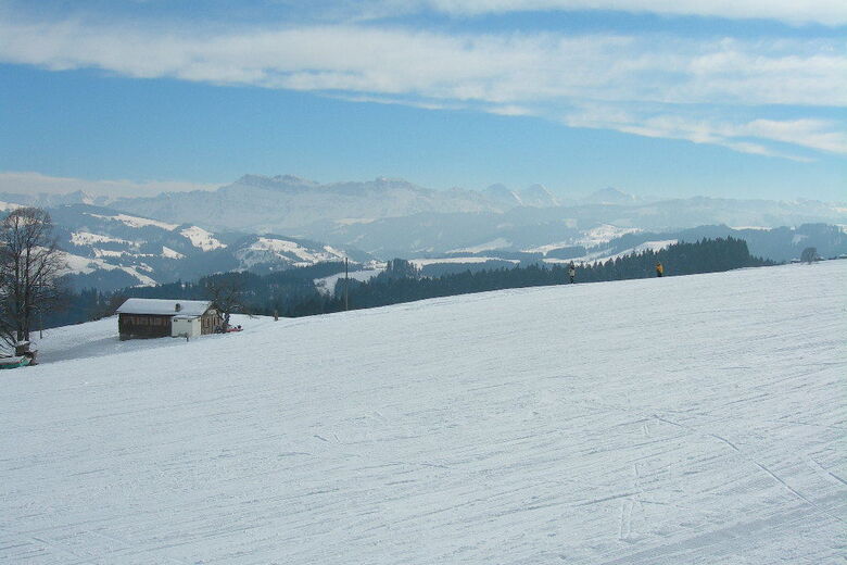
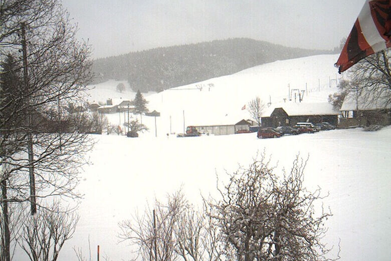
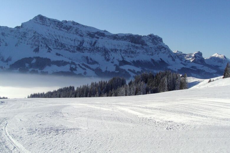
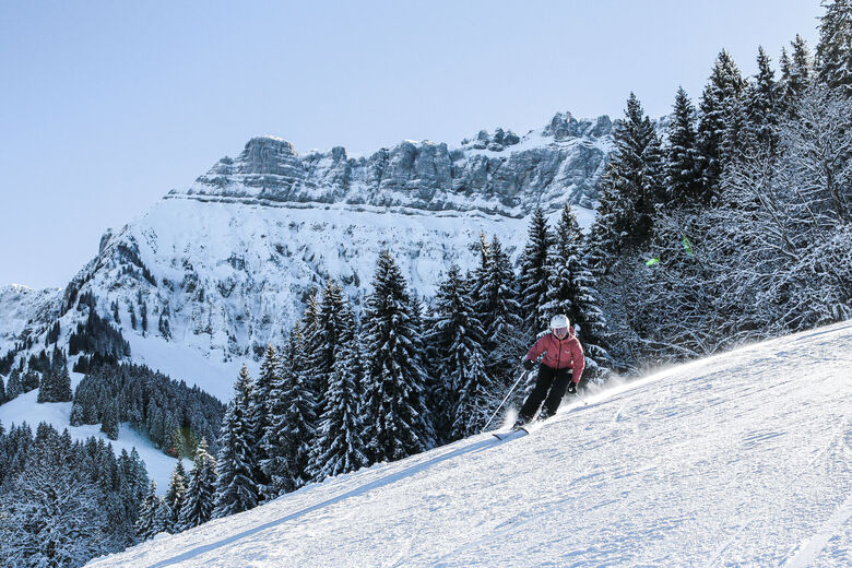
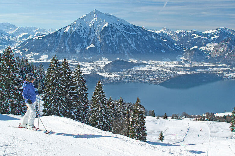
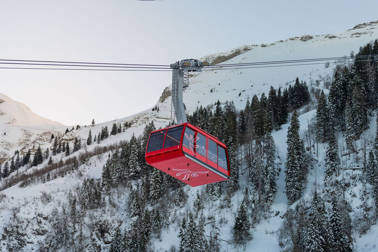
Ski resorts nearby



Hiking & Tracking



Over 550.000 tour suggestions, detailed maps and an intuitive route planner make the app a must-have for all nature enthusiasts.

Don't miss out on offers and inspiration for your next holiday
Subscribe to the newsletter
Error
An error has occurred. Please try again.
Thank you for your registration
Your e-mail address has been added to the mailing list.





