


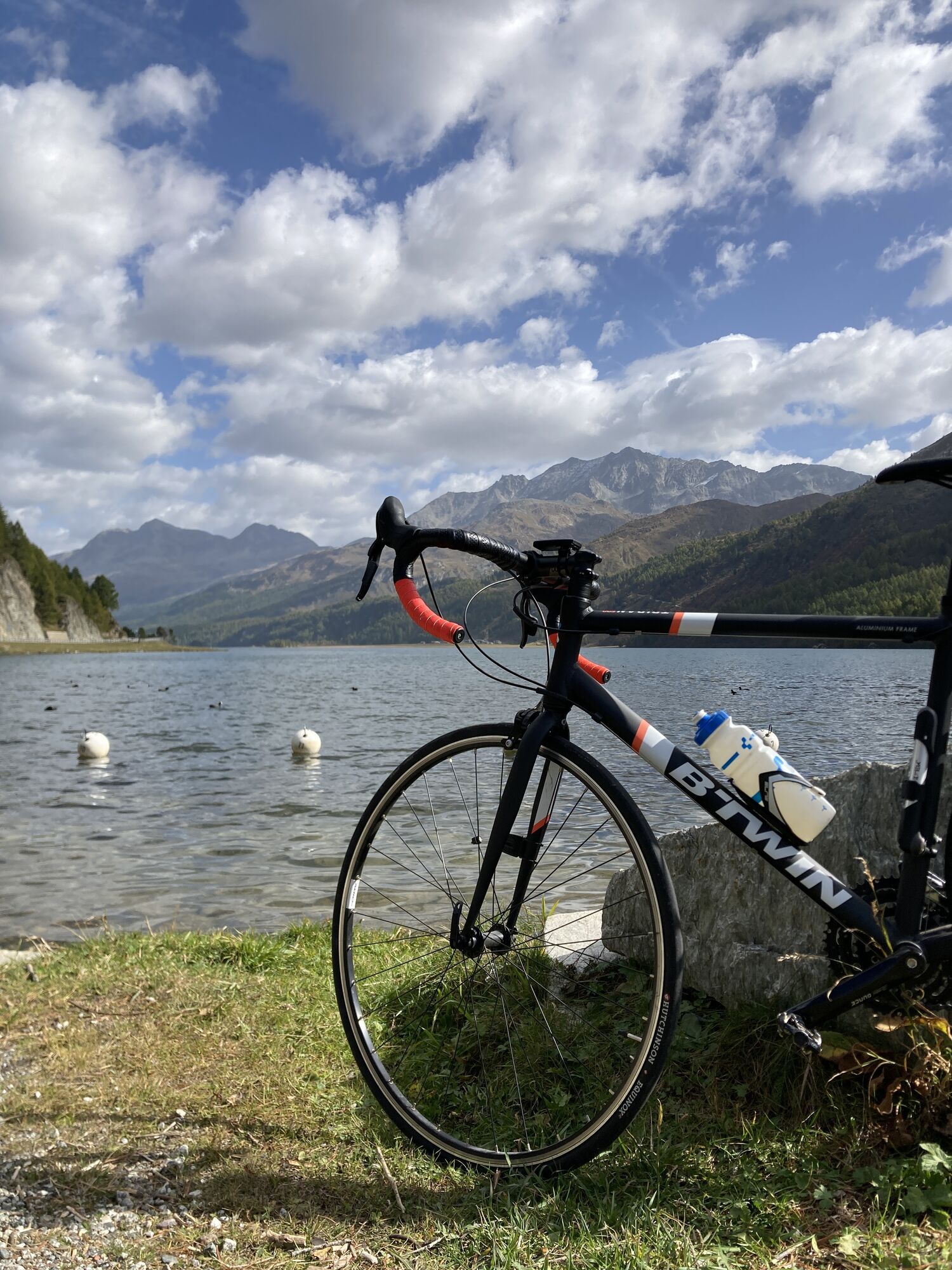
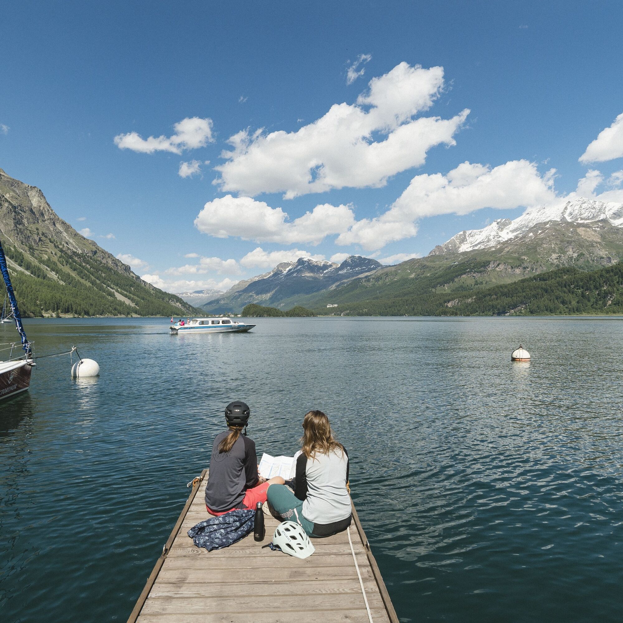
From St. Moritz, this tour always follows SwitzerlandMobility Route No. 1 to Maloja. You pass the beautiful Lej Nair bathing lake, enjoy wonderful views of the lake Silvaplana and lake Sils, stroll through...
From St. Moritz, this tour always follows SwitzerlandMobility Route No. 1 to Maloja. You pass the beautiful Lej Nair bathing lake, enjoy wonderful views of the lake Silvaplana and lake Sils, stroll through the flower-filled Val Fex and repeatedly pass excursion restaurants to take a break.
More information
Engadin Tourismus AG
Via Maistra 1
CH-7500 St. Moritz
Phone: +41 81 830 00 01
E-mail: allegra@engadin.ch
Internet: www.engadin.ch

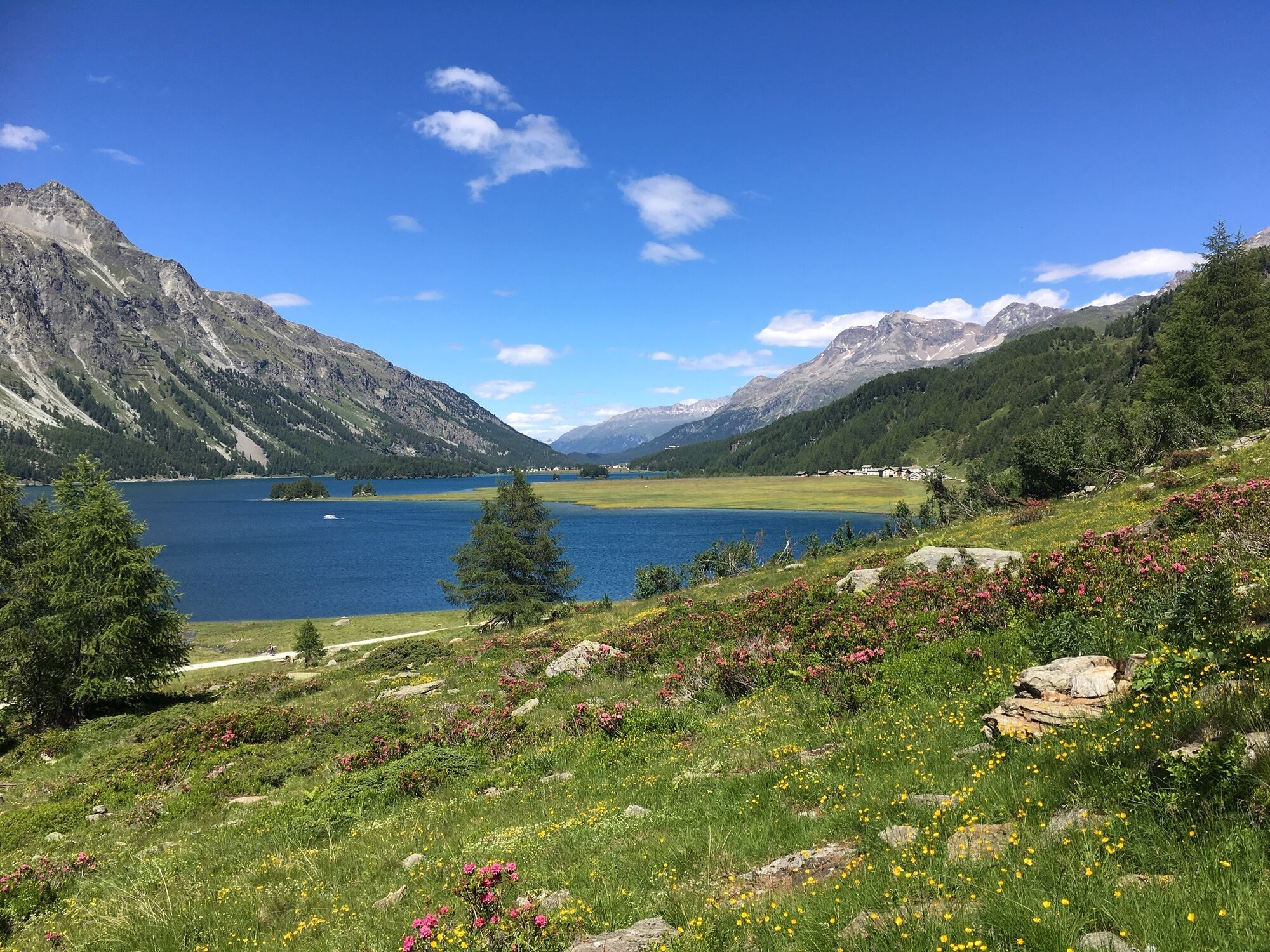
St. Moritz - Lej Nair - Surlej - Alp Surlej - Alp Prasüra - Fec Platta - Ca d'Starnam - Maloja
The post bus and the Engadin bus only transport a few bikes. Make sure you use your battery well so that it will last for the way back.
Very frequented in the high season.
Webcams of the tour
Corviglia
Corvatsch
Marguns - Plateau Nair
Silvaplana - Restaurant Mulets
Corviglia
Corviglia
Corviglia
Corviglia
Corviglia
Corviglia
Sils - Hotel Waldhaus
Corviglia
Silvaplana - Mittelstation Murtèl
Silvaplana - Mittelstation Murtèl
Silvaplana - Mittelstation Murtèl
Silvaplana - Mittelstation Murtèl
Silvaplana - Mittelstation Murtèl
Corvatsch
Corvatsch
Corvatsch
Corvatsch
Corvatsch
Corvatsch
Celerina - Cresta Palace
Piz Nair - St. Moritz
Celerina - Skiwiese Provuler
St. Moritz - Berghotel Randolins
El Paradiso
Maloja Palace
Aela
Piz Nair Bergstation
Piz Nair Bergstation
Piz Nair Bergstation
Piz Nair Bergstation
Piz Nair Bergstation
Piz Nair Bergstation
Piz Nair Bergstation
Piz Nair Bergstation
Casaccia
Silvana - Alpetta Hütta
Popular tours in the neighbourhood
- 5,0
Morteratsch railway station - Boval Hut
mediumHiking10,5 km - 5,0
Muottas Muragl - Segantini hut - Pontresina
mediumHiking6,46 km - 5,0
Alp Languard - Paradis hut - Pontresina
lightHiking7,05 km - 5,0
Maloja-Piz Lunghin-Pass Lunghin-See Lunghin- Blaunca- Maloja
mediumHiking15,5 km - 4,5
Pontresina - Val Roseg - Pontresina
lightHiking13,8 km - 4,8
Paradis tour
lightHiking4,81 km - 4,8
Maloja - Motta Salacina - Lägh da Cavloc - Maloja
mediumHiking10,3 km - 4,4
Muottas Muragl Panorama Trail
lightHiking6,75 km - 5,0
Lej Muragl
mediumHiking7,39 km - 4,0
Muottas Murgal - Chamanna Segantini - Pontresina ???
mediumHiking8,98 km
Hiking & Tracking


Don't miss out on offers and inspiration for your next holiday
Your e-mail address has been added to the mailing list.