
- Brief description
-
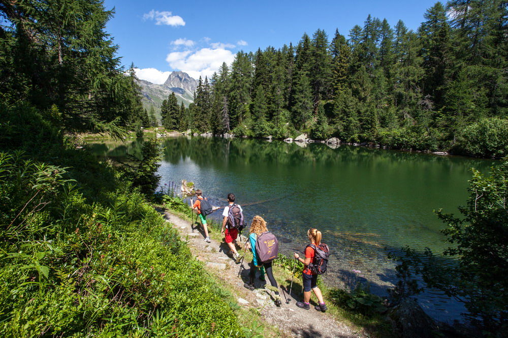
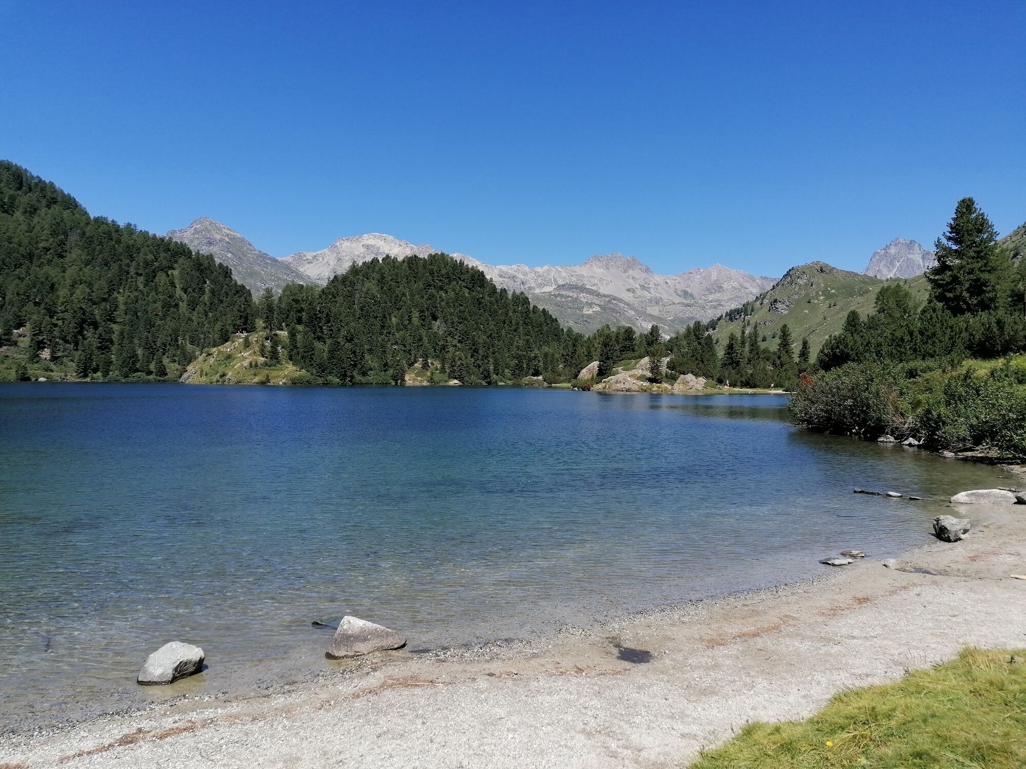
A scenic hike on which you pass two idyllic mountain lakes.
- Difficulty
-
medium
- Rating
-
- Starting point
-
Maloja post office
- Route
-
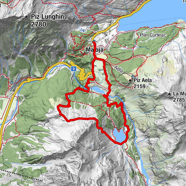
Maloja Posta0.0 kmSchweizerhaus0.1 kmKirche St. Peter und Paul0.1 kmMaloja (1,809 m)0.3 kmOrden (1,807 m)1.1 kmPass dal Caval (2,136 m)4.8 kmCavloccio6.2 kmOrden d'Ent (1,797 m)8.6 kmLan Palü9.1 kmMaloja (1,809 m)9.8 kmKirche St. Peter und Paul10.0 kmSchweizerhaus10.1 kmMaloja Posta10.2 km
- Best season
-
JanFebMarAprMayJunJulAugSepOctNovDec
- Description
-
This circular hike takes you from Maloja to Lägh da Bitabergh and Lägh da Cavloc and back to Maloja. First you walk through the long drawn-out village to Maloja-Kulm and on to the first sharp bend on the road to the Bregaglia valley. Be sure to make a detour to the car park on the other side of the road, from where you can enjoy an impressive view down into the Bregaglia valley and up to the hairpin bends on the Maloja road. The route now continues along a wide road to the car park and the Orden retaining wall, built as protection against accumulation of flood debris and mud slides. A short climb brings you to the idyllic Lägh da Bitabergh. Ahead is a much longer ascent past Alpine roses to Motta Salacina. It is well worth stopping to rest and enjoy the beautiful scenery. The route now runs parallel to the slope before descending to the Lägh da Cavloc. There are wonderful resting places beside both lakes. From here, you return along the gravel road back to Maloja.
More information
Engadin Tourismus AG
Via Maistra 1
CH-7500 St. Moritz
Phone: +41 81 830 00 01
E-mail: allegra@engadin.ch
Internet: www.engadin.ch - Directions
-
Maloja - Lägh da Bitabergh - Motta Salacina - Lägh da Cavloc - Maloja
- Highest point
- 2,145 m
- Endpoint
-
Maloja post office
- Height profile
-
 © outdooractive.com
 - Tips
-
The barbecue areas at Lägh da Cavaloc invite you to take a leisurely rest.
- Public transportation
- Parking

- Author
-
The tour Maloja - Motta Salacina - Lägh da Cavloc - Maloja is used by outdooractive.com provided.
GPS Downloads


General info
Refreshment stop
A lot of view
Other tours in the regions
-
Veltlin / Valtellina
851
-
Val Bregaglia Engadin
468
-
Maloja
245